Archive - Date
Archive - Activity
-
Bike trip (110)
- Bike trip - mixed (25)
- Bike trip - road (85)
-
Drive (9)
- Car drive (9)
-
Other trip (3)
- Kayaking (3)
-
Ski trip (116)
- Backcountry skiing (69)
- Cross-country skiing (47)
- Trip by foot (1884)
Collected lists
-
Utvalgte topper og turmål i Bergen
(348/349)
 99%
99% -
Alle topper i Bergen
(391/398)
98%
-
Voss ≥ 100m pf.
(96/98)
97%
-
Opptur Hordaland
(144/159)
90%
-
Stasjoner på Bergensbanen
(33/40)
82%
-
Ulvik ≥ 100m pf.
(28/38)
73%
-
Hordaland ≥ 100m pf.
(622/863)
72%
-
Mjølfjell PF > 100m
(21/31)
67%
-
Jondal ≥ 100m pf.
(15/23)
65%
-
Dagsturhyttene i Vestland
(36/61)
59%
-
Sunnhordland PF >= 100m
(105/186)
56%
-
Hordaland: Hardanger PF>=100m
(194/359)
54%
-
DNT-hytter i Hordaland
(23/45)
51%
-
Kvinnherad ≥ 100m pf.
(40/79)
50%
-
Eidfjord ≥ 100m pf.
(13/42)
30%
-
Sogndal ≥ 100m pf.
(23/81)
28%
-
Gulen ≥ 100m pf.
(15/54)
27%
-
Vik i Sogn ≥ 100m pf.
(10/46)
21%
-
Sogn - Sør for Sognefjorden PF>=100m
(31/159)
19%
-
DNT-hytter i Sogn og Fjordane
(8/47)
17%

Ørneberget and Rognåsen
- Date:
- 20.04.2020
- Characteristic:
- Hillwalk
- Duration:
- 1:11h
- Distance:
- 5.7km
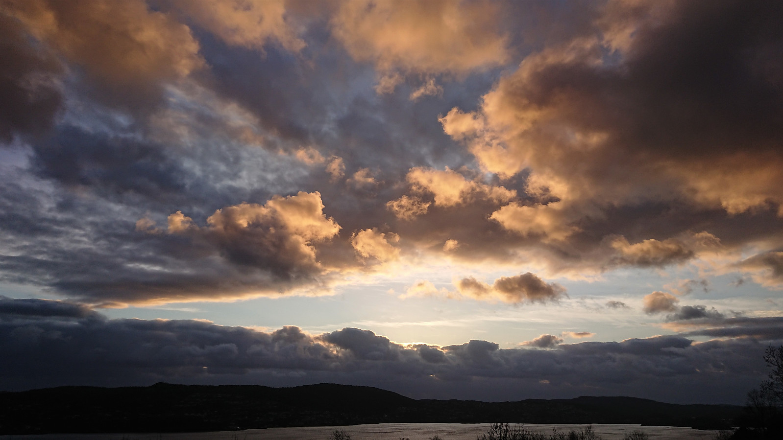
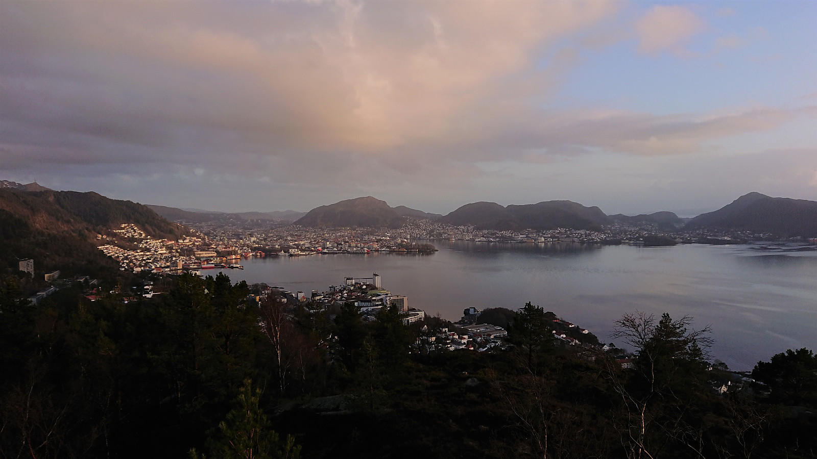
 Short local evening hike.
Rundemanen: Elverhøy and Trollheim
- Date:
- 18.04.2020
- Characteristic:
- Hillwalk
- Duration:
- 4:16h
- Distance:
- 18.0km
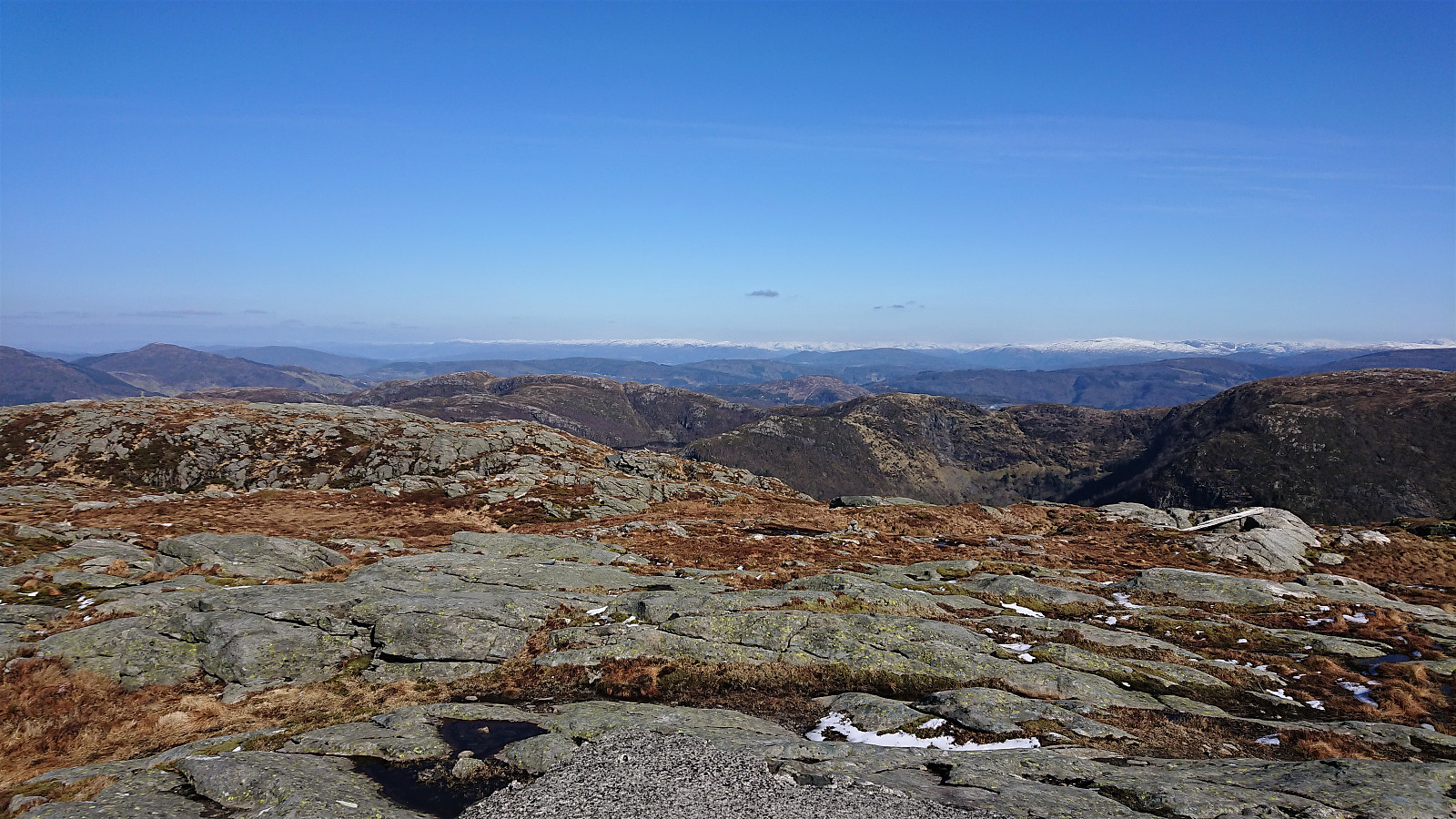
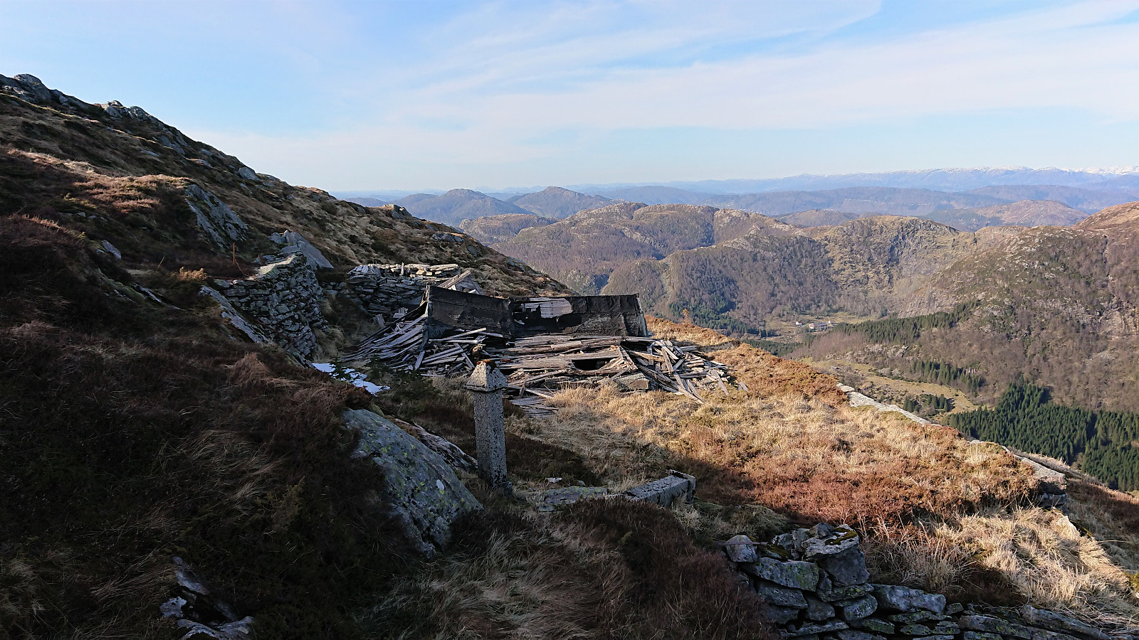 A trip inspired by Kjell51 (Kjell Øijorden) 's recent hike to cabin ruins north of Rundemanen , an area I had not explored before. A lot of work had clearly gone into building these two cabins ( Elverhøy (ruin) and Trollheim (ruin) ), making it a bit sad to see their current state.
Ørneberget, Rognåsen and Håmanen
- Date:
- 17.04.2020
- Characteristic:
- Hillwalk
- Duration:
- 1:53h
- Distance:
- 7.4km
 Yet another local evening hike.
Ørneberget, Rognåsen and Håmanen
- Date:
- 16.04.2020
- Characteristic:
- Hillwalk
- Duration:
- 2:03h
- Distance:
- 7.7km
 Local evening hike.
Ørneberget and Hellen festning
- Date:
- 13.04.2020
- Characteristic:
- Hillwalk
- Duration:
- 0:51h
- Distance:
- 4.2km
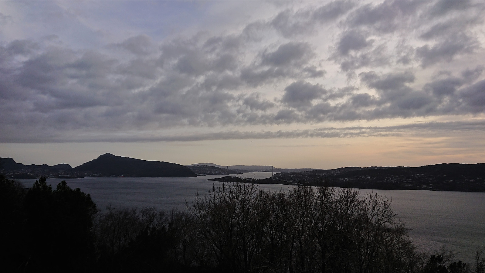
 Yet another short local evening hike.
Ørneberget, Rognåsen and Håmanen
- Date:
- 12.04.2020
- Characteristic:
- Hillwalk
- Duration:
- 2:23h
- Distance:
- 7.3km
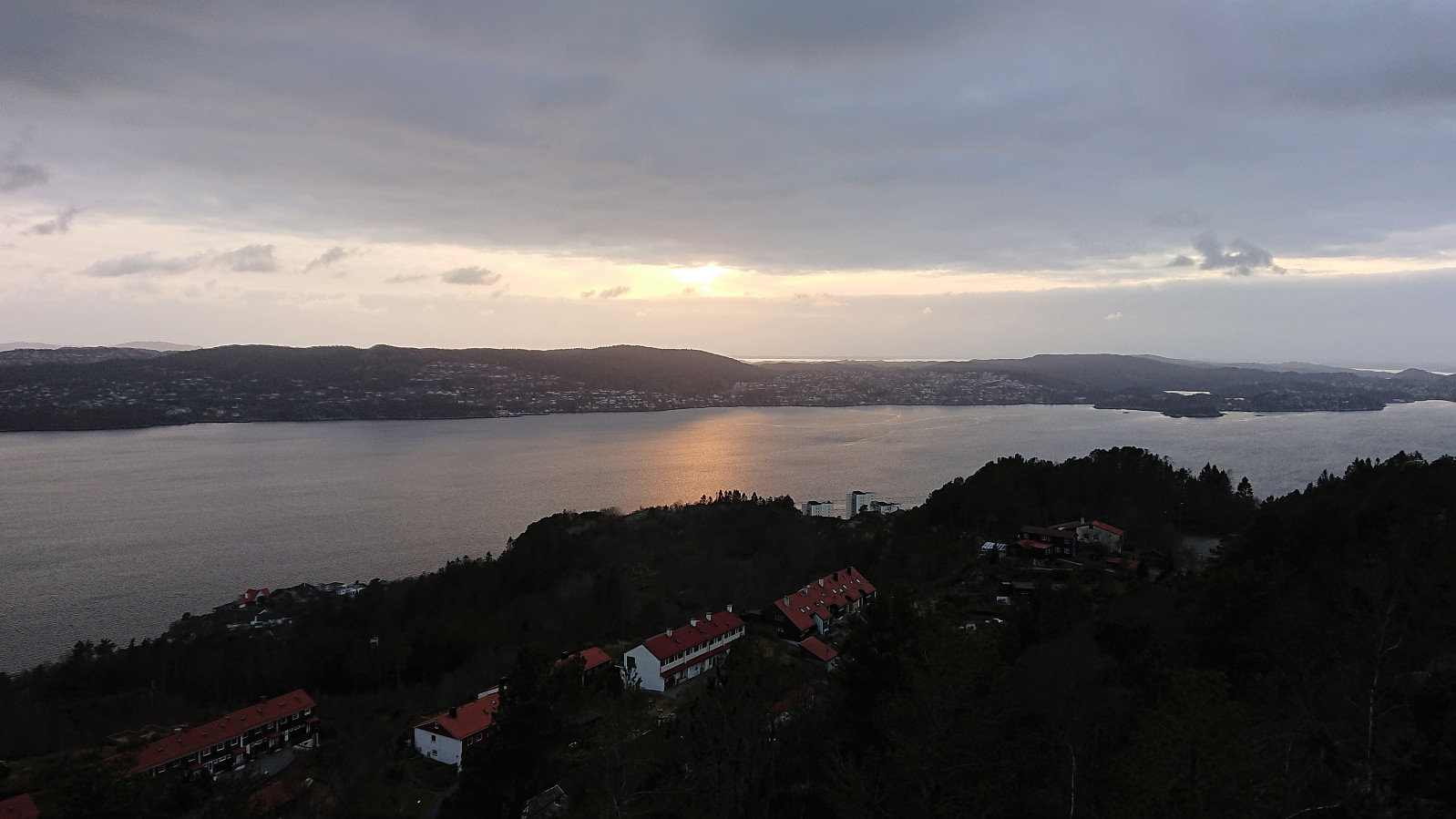
 Local afternoon hike in strong winds.
Ørneberget, Orretua, Emanuel Mohns utsikt and Rundemanen
- Date:
- 10.04.2020
- Characteristic:
- Hillwalk
- Duration:
- 4:26h
- Distance:
- 15.3km
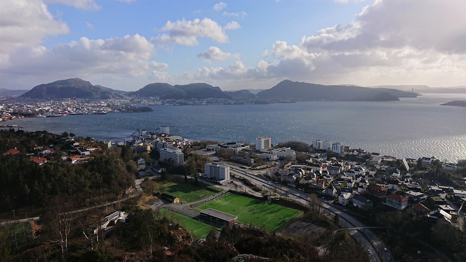
 Excellent weather during Easter usually means a long skiing trip, but under the current COVID-19 circumstances I had to go for a local hike instead.
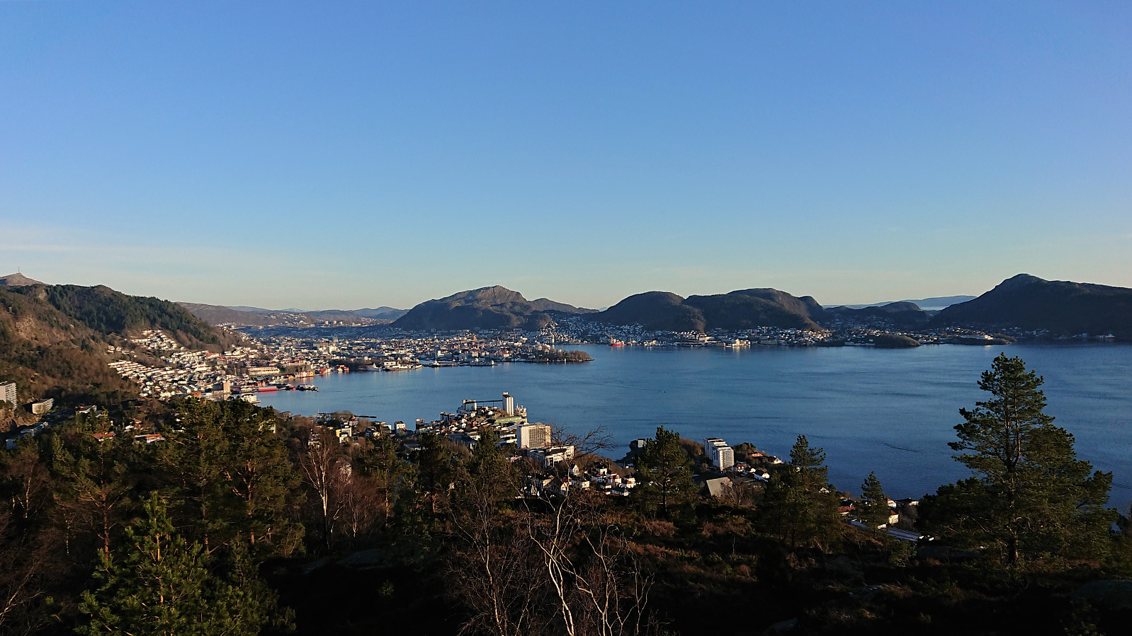
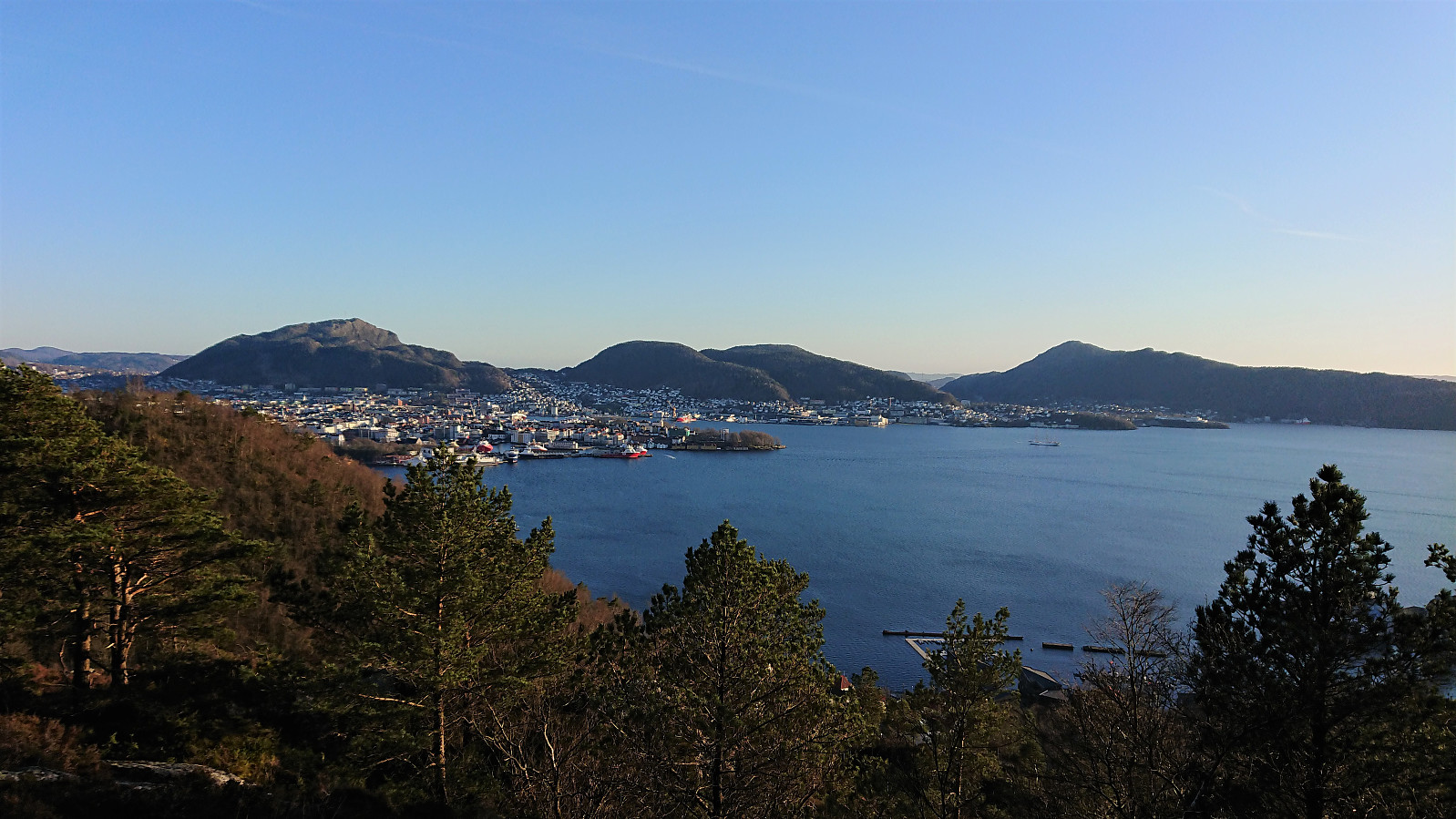
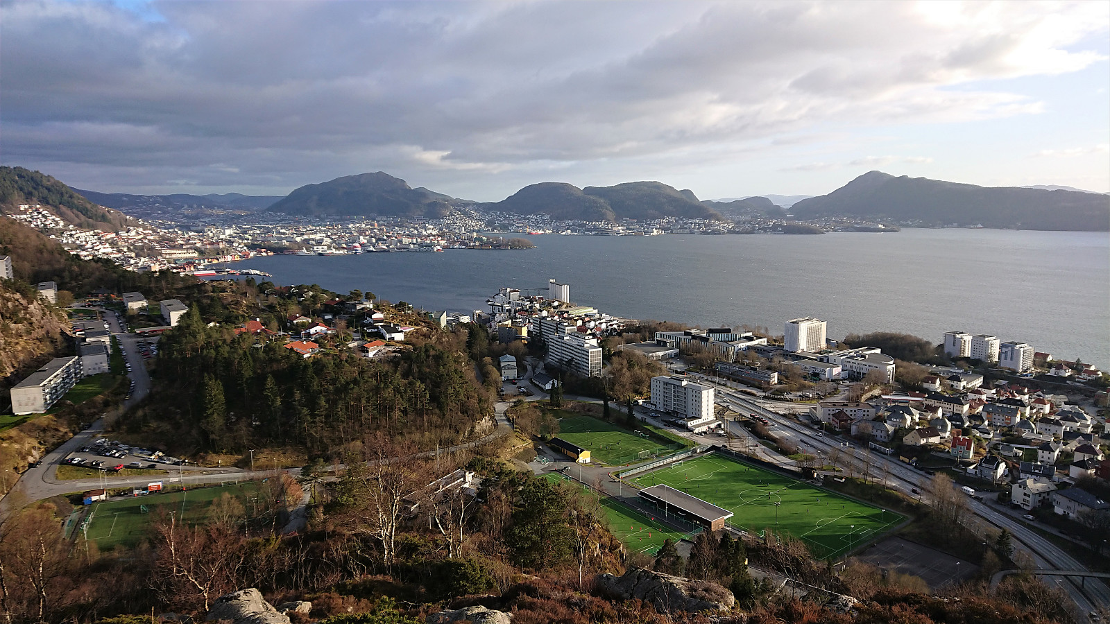
Ørneberget
- Date:
- 09.04.2020
- Characteristic:
- Hillwalk
- Duration:
- 1:34h
- Distance:
- 8.1km
 Short local evening hike.
Ørneberget
- Date:
- 08.04.2020
- Characteristic:
- Hillwalk
- Duration:
- 0:53h
- Distance:
- 4.3km
 Yet another short local evening hike.
Ørneberget and Hellen festning
- Date:
- 07.04.2020
- Characteristic:
- Hillwalk
- Duration:
- 1:18h
- Distance:
- 6.1km
 Short local afternoon hike.
