Archive - Date
Archive - Activity
-
Bike trip (110)
- Bike trip - mixed (25)
- Bike trip - road (85)
-
Drive (9)
- Car drive (9)
-
Other trip (3)
- Kayaking (3)
-
Ski trip (116)
- Backcountry skiing (69)
- Cross-country skiing (47)
- Trip by foot (1884)
Collected lists
-
Utvalgte topper og turmål i Bergen
(348/349)
 99%
99% -
Alle topper i Bergen
(391/398)
98%
-
Voss ≥ 100m pf.
(96/98)
97%
-
Opptur Hordaland
(144/159)
90%
-
Stasjoner på Bergensbanen
(33/40)
82%
-
Ulvik ≥ 100m pf.
(28/38)
73%
-
Hordaland ≥ 100m pf.
(622/863)
72%
-
Mjølfjell PF > 100m
(21/31)
67%
-
Jondal ≥ 100m pf.
(15/23)
65%
-
Dagsturhyttene i Vestland
(36/61)
59%
-
Sunnhordland PF >= 100m
(105/186)
56%
-
Hordaland: Hardanger PF>=100m
(194/359)
54%
-
DNT-hytter i Hordaland
(23/45)
51%
-
Kvinnherad ≥ 100m pf.
(40/79)
50%
-
Eidfjord ≥ 100m pf.
(13/42)
30%
-
Sogndal ≥ 100m pf.
(23/81)
28%
-
Gulen ≥ 100m pf.
(15/54)
27%
-
Vik i Sogn ≥ 100m pf.
(10/46)
21%
-
Sogn - Sør for Sognefjorden PF>=100m
(31/159)
19%
-
DNT-hytter i Sogn og Fjordane
(8/47)
17%

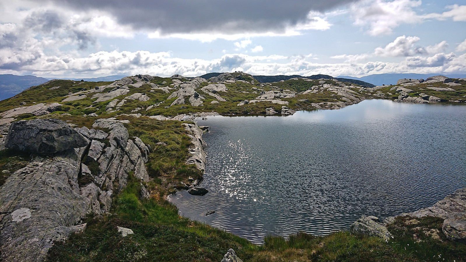
Ørneberget and Rognåsen
- Date:
- 02.08.2023
- Characteristic:
- Hillwalk
- Duration:
- 1:24h
- Distance:
- 6.4km
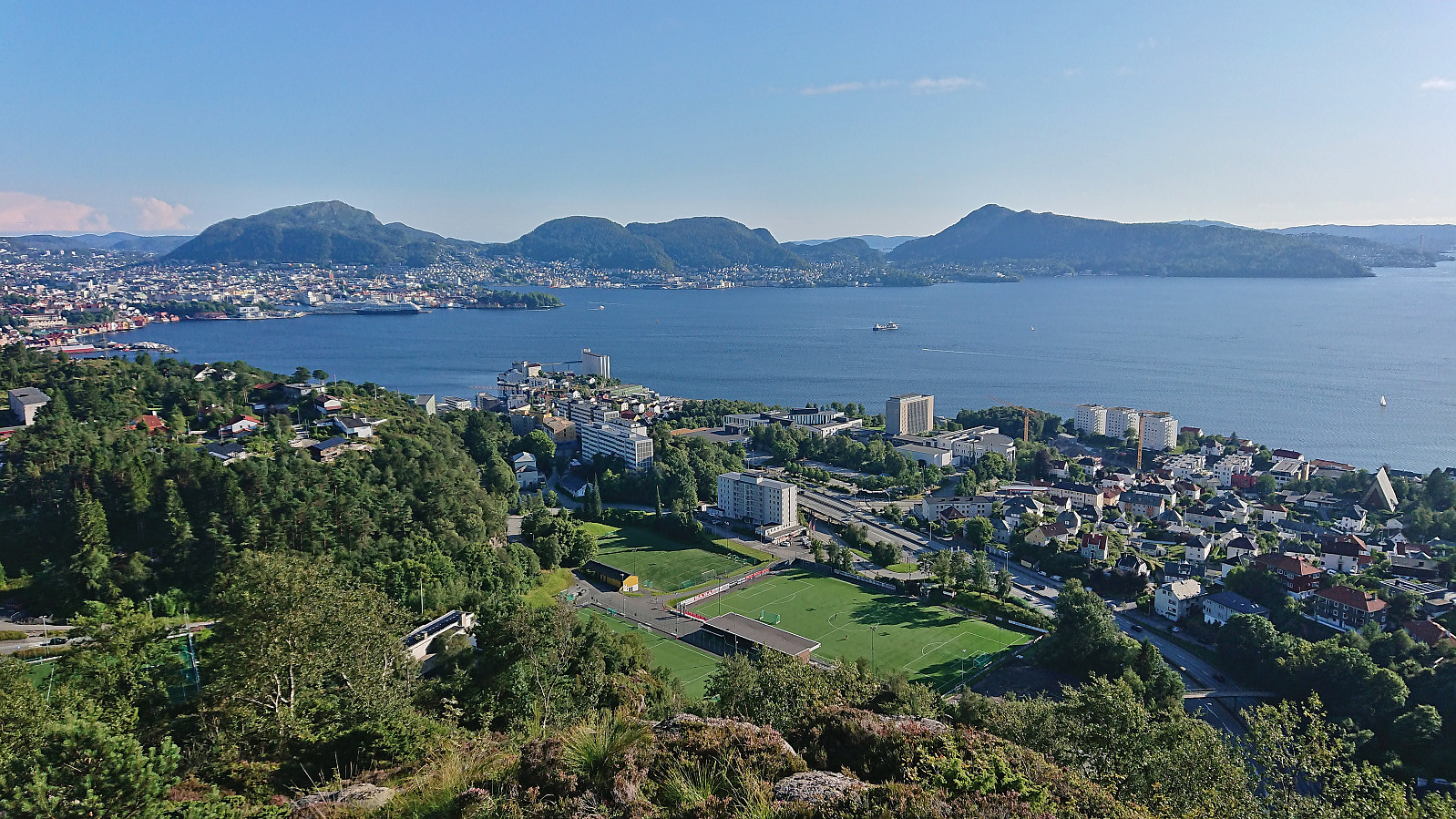 Short local afternoon hike.
Kurebu
- Date:
- 01.08.2023
- Characteristic:
- Hillwalk
- Duration:
- 0:44h
- Distance:
- 2.3km
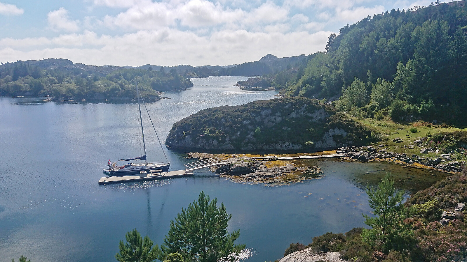 I left my bike at the marked trailhead and simply followed the marked trail all the way to Kurebu . More up and down than perhaps I had expected but otherwise straightforward. Great views along the way. I considered returning along the alternative route to the east, but as it would be slightly longer, and I did not want to risk missing the boat at Rubbestadneset, I ended up just returning the same way.
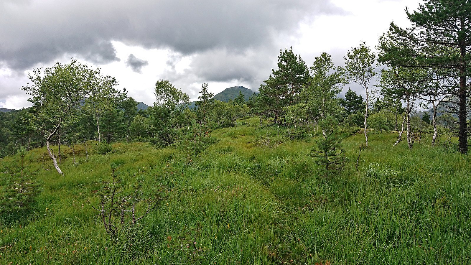
Lyklingfjellet from Bømlavegen
- Date:
- 01.08.2023
- Characteristic:
- Hillwalk
- Duration:
- 1:01h
- Distance:
- 2.5km
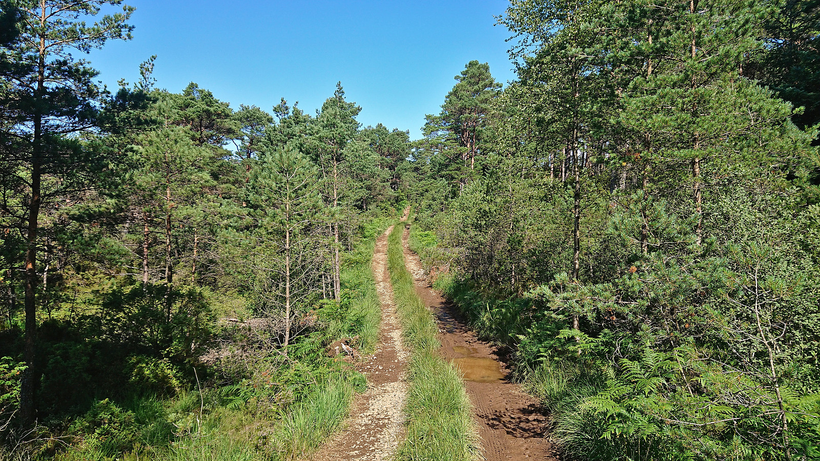 After ascending Børøysåta and Børøyklampen , I cycled the short distance to the marked trailhead for Lyklingfjellet (or I guess more correctly the marked trailhead for Hovda , as Lyklingfjellet was not actually mentioned on any of the signs). While it would have been possible to cycle further along the tractor road, it got increasingly more muddy, hence I quickly decided to leave the bike and continue on foot.
The tractor road later passed through a gate with grazing sheep on the other side. The sheep were however soon left behind when crossing the fence via a wooden ladder and starting on the marked trail towards Hovda.
When the trail later forked I continued on an unmarked trail that, to my surprise, took me all the way to the summit of Lyklingfjellet. There were even red painted trail markers towards the end and a wooden ladder to navigate >>>
After ascending Børøysåta and Børøyklampen , I cycled the short distance to the marked trailhead for Lyklingfjellet (or I guess more correctly the marked trailhead for Hovda , as Lyklingfjellet was not actually mentioned on any of the signs). While it would have been possible to cycle further along the tractor road, it got increasingly more muddy, hence I quickly decided to leave the bike and continue on foot.
The tractor road later passed through a gate with grazing sheep on the other side. The sheep were however soon left behind when crossing the fence via a wooden ladder and starting on the marked trail towards Hovda.
When the trail later forked I continued on an unmarked trail that, to my surprise, took me all the way to the summit of Lyklingfjellet. There were even red painted trail markers towards the end and a wooden ladder to navigate >>>
Sør for Børøysåta and Børøyklampen
- Date:
- 01.08.2023
- Characteristic:
- Hillwalk
- Duration:
- 1:34h
- Distance:
- 3.3km
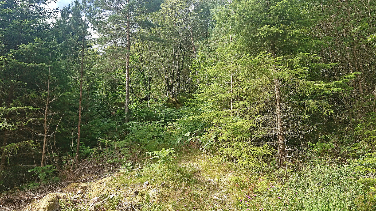 Most hikers seem to ascend Børøyklampen from the parking lot at Nautsundet. I had however come across JoSo (Johan Solberg) 's trip report from 2015 where he referred to a marked trail starting further north. At the top of the last hill before descending to Nautsundet I therefore instead followed a short dead end gravel road to an unmarked trailhead named Falkastigen on the map. Here I left the bike behind and continued on foot.
While I did not see any of the trail markers Johan mentioned in his report, the trail was there, although rather weak and disappearing several times, most notably when crossing wet areas. As far as I could tell the trail did not go via the highest point at neither Børøysåta nor Sør for Børøysåta but as it was less than 100 meters to the latter I made a quick off-trail visit before returning to the trail.
As the trail later turned west towards Børøyklampen it turned >>>
Most hikers seem to ascend Børøyklampen from the parking lot at Nautsundet. I had however come across JoSo (Johan Solberg) 's trip report from 2015 where he referred to a marked trail starting further north. At the top of the last hill before descending to Nautsundet I therefore instead followed a short dead end gravel road to an unmarked trailhead named Falkastigen on the map. Here I left the bike behind and continued on foot.
While I did not see any of the trail markers Johan mentioned in his report, the trail was there, although rather weak and disappearing several times, most notably when crossing wet areas. As far as I could tell the trail did not go via the highest point at neither Børøysåta nor Sør for Børøysåta but as it was less than 100 meters to the latter I made a quick off-trail visit before returning to the trail.
As the trail later turned west towards Børøyklampen it turned >>>
Storfjella and Geitafjella from Vikaneset
- Date:
- 28.07.2023
- Characteristic:
- Hillwalk
- Duration:
- 9:11h
- Distance:
- 26.6km
 Ever since visiting Øyadalen with two colleagues almost exactly three years ago I had wanted to return to ascend Storfjella and Geitafjella . The main reason for waiting this long is that the Stamnes area is not the most easily accessible by public transport, especially during weekends. For this Friday of my summer holiday I therefore first took the train to Dale and from there the bus to Vikaneset (note: bus stop just called Vik).
After getting off the bus, where I had been the only passenger (which would also be the case for the return trip to Dale), I started ascending north along the paved road up Vikadalen. I had not walked for more than a couple of minutes though before seeing the first sign stating that the road was closed! This brought back bad memories from my failed attempt at ascending Matrenipa three years earlier when a closed road had ruined all of my plans. Thankfully, today the sign turned >>>
Ever since visiting Øyadalen with two colleagues almost exactly three years ago I had wanted to return to ascend Storfjella and Geitafjella . The main reason for waiting this long is that the Stamnes area is not the most easily accessible by public transport, especially during weekends. For this Friday of my summer holiday I therefore first took the train to Dale and from there the bus to Vikaneset (note: bus stop just called Vik).
After getting off the bus, where I had been the only passenger (which would also be the case for the return trip to Dale), I started ascending north along the paved road up Vikadalen. I had not walked for more than a couple of minutes though before seeing the first sign stating that the road was closed! This brought back bad memories from my failed attempt at ascending Matrenipa three years earlier when a closed road had ruined all of my plans. Thankfully, today the sign turned >>>
Stemmedalshaugane from Fjelltveit
- Date:
- 21.07.2023
- Characteristic:
- Hillwalk
- Duration:
- 2:15h
- Distance:
- 7.0km
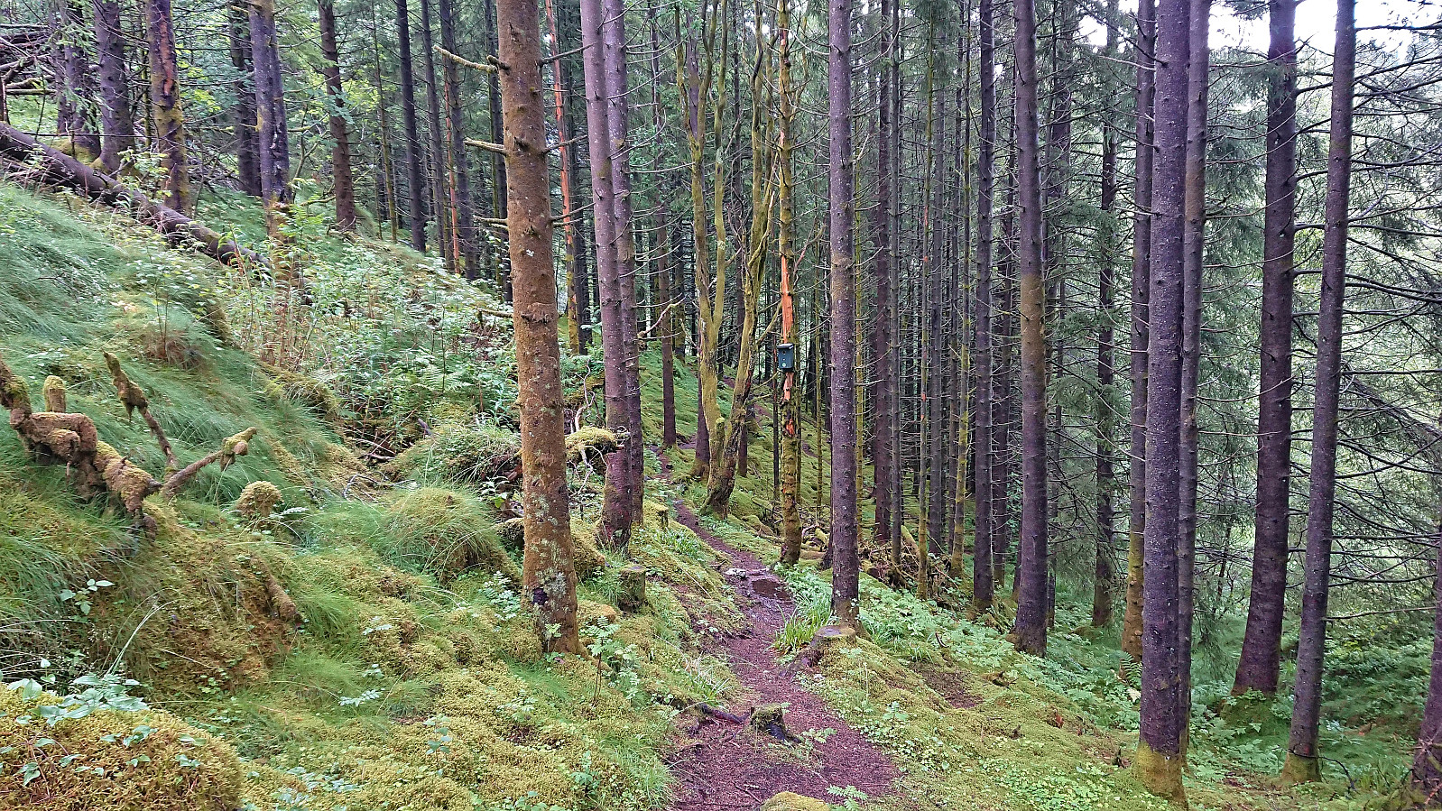
 I took the bus to Fjelltveit in Hauglandsdalen and from there followed a relatively new gravel road up towards Stemmedalshaugane , making sure to include a stop at the excellent views at Smogakampen . Before getting to Frotveitvatnet, I left the gravel road and crossed Frotveitelva via a wooden bridge and continued east along a weak and wet trail to the highest point at Stemmedalshaugane. I had originally considered doing a roundtrip similar to Kjell51 (Kjell Øijorden) (see his trip report here ), but given the wet conditions I instead returned the same way. Interestingly, at the summit I noticed the first red trail markers, red paint on the tree trunks, and for the descent I was actually able to follow these more or less all the way to the bridge.
Smøråsfjellet
- Date:
- 17.07.2023
- Characteristic:
- Hillwalk
- Duration:
- 2:34h
- Distance:
- 9.1km
 A return to Smøråsfjellet to visit Bjørnevasskletten . When in the area I also passed by Storhaugen, Litlafjellet and Revhaugen, in addition to a revisit of Hamrefjellet , just in case any of these will be added as their own PB-elements in the future. Missed the bus at Valle by a couple of minutes and ended up walking to the Bybane stop at Skjoldskiftet.
Vetlavardhytto from Eikelandsosen terminal
- Date:
- 14.07.2023
- Characteristic:
- Hillwalk
- Duration:
- 2:08h
- Distance:
- 6.7km
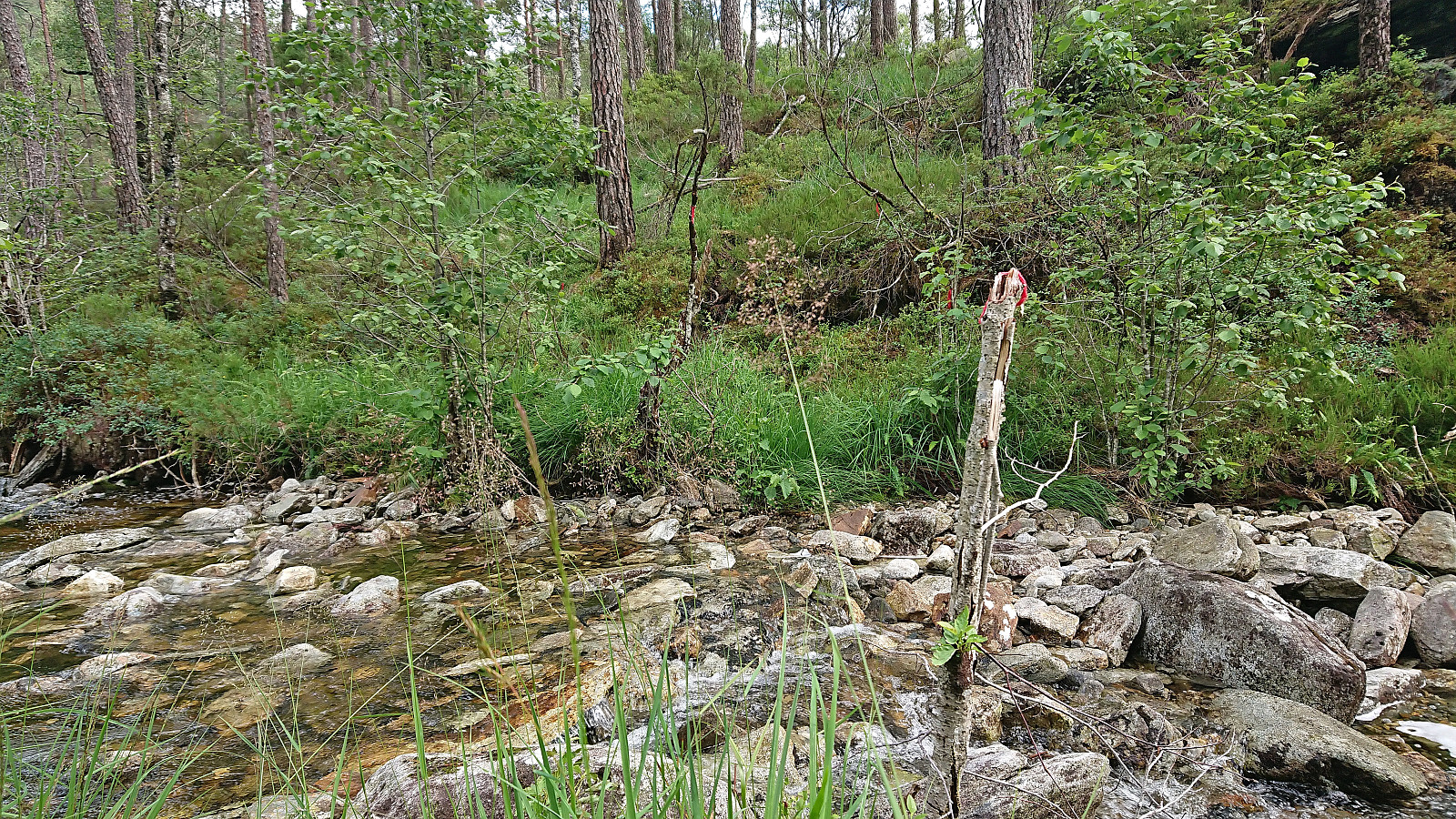 After 4.5 hours on the boat from Sogndal to Bergen the day before, I was not really up for a long hike today. However, the nice weather had to be utilized as it seemed like it would be the last nice day in quite some time. In the end, I settled on Vetlavardhytto in Eikelandsosen . My previous attempt at visiting this cabin had been unsuccessful due to a too short bus connection at Osøyro, hence my current travelling plan added five additional minutes in Osøyro and, combined with less traffic during the summer holiday season, I made the bus to Eikelandsosen without any issues.
At Eikelandsosen I followed the roads to the marked start of the trail to Vetlavardhytto and crossed the river on a new bridge to start the ascent. The trail was marked with red paint and initially followed the river. Soon the trail markers however changed from red paint to small pieces >>>
After 4.5 hours on the boat from Sogndal to Bergen the day before, I was not really up for a long hike today. However, the nice weather had to be utilized as it seemed like it would be the last nice day in quite some time. In the end, I settled on Vetlavardhytto in Eikelandsosen . My previous attempt at visiting this cabin had been unsuccessful due to a too short bus connection at Osøyro, hence my current travelling plan added five additional minutes in Osøyro and, combined with less traffic during the summer holiday season, I made the bus to Eikelandsosen without any issues.
At Eikelandsosen I followed the roads to the marked start of the trail to Vetlavardhytto and crossed the river on a new bridge to start the ascent. The trail was marked with red paint and initially followed the river. Soon the trail markers however changed from red paint to small pieces >>>
Storehaug from Resaland
- Date:
- 11.07.2023
- Characteristic:
- Hillwalk
- Duration:
- 1:43h
- Distance:
- 1.8km
 On a day with rain showers reported to start from the early afternoon, we decided to go for a couple of easy summits that also did not require lots of driving. First up was Storehaug in Luster . We parked at Resaland p-plass right next to the unmarked trailhead and followed a tractor road almost all the way to the summit. From there, the large summit cairn was easily reached via a weak unmarked trail. Limited views from the summit due to all the trees which were not made any better by the dense fog. We therefore did not stay long before returning the same way to the car.
Upon returning to the car we also made an attempt to visit the viewpoint at Feivall/Feivollfjellet but failed to find any routes that did not seem to include trespassing private property and thus gave up and instead continued to Bondehaug .
On a day with rain showers reported to start from the early afternoon, we decided to go for a couple of easy summits that also did not require lots of driving. First up was Storehaug in Luster . We parked at Resaland p-plass right next to the unmarked trailhead and followed a tractor road almost all the way to the summit. From there, the large summit cairn was easily reached via a weak unmarked trail. Limited views from the summit due to all the trees which were not made any better by the dense fog. We therefore did not stay long before returning the same way to the car.
Upon returning to the car we also made an attempt to visit the viewpoint at Feivall/Feivollfjellet but failed to find any routes that did not seem to include trespassing private property and thus gave up and instead continued to Bondehaug .
Eikjabu from Mollandsmarki
- Date:
- 08.07.2023
- Characteristic:
- Hillwalk
- Duration:
- 5:57h
- Distance:
- 11.0km
 Warning: While this route (mostly) follows a marked trail, the markers can be difficult to spot. The terrain is also steep with a couple of exposed sections that may not be to everyone's liking. In other words, read the report carefully.
Given its location alongside Lustrafjorden, the easiest route to Eikjabu is definitely by boat or kayak. We had however come across a suggested hiking route from Mollandsmarki that we wanted to try. Luster DNT had even organized a trip along this route earlier this year . Additional information was also gathered from an earlier post from 2019 which also included a link with more pictures and a basic map .
Unsure of whether there would be any parking at the trailhead, we decided to park at Krossen p-plass and walk from there. (As it turned out, this was unnecessary, as it would have been possible to park at or close to the trailhead.) The trailhead contained information about Stuaflåten although there was no >>>
Warning: While this route (mostly) follows a marked trail, the markers can be difficult to spot. The terrain is also steep with a couple of exposed sections that may not be to everyone's liking. In other words, read the report carefully.
Given its location alongside Lustrafjorden, the easiest route to Eikjabu is definitely by boat or kayak. We had however come across a suggested hiking route from Mollandsmarki that we wanted to try. Luster DNT had even organized a trip along this route earlier this year . Additional information was also gathered from an earlier post from 2019 which also included a link with more pictures and a basic map .
Unsure of whether there would be any parking at the trailhead, we decided to park at Krossen p-plass and walk from there. (As it turned out, this was unnecessary, as it would have been possible to park at or close to the trailhead.) The trailhead contained information about Stuaflåten although there was no >>>
