Archive - Date
Archive - Activity
-
Bike trip (110)
- Bike trip - mixed (25)
- Bike trip - road (85)
-
Drive (9)
- Car drive (9)
-
Other trip (3)
- Kayaking (3)
-
Ski trip (116)
- Backcountry skiing (69)
- Cross-country skiing (47)
- Trip by foot (1887)
Collected lists
-
Utvalgte topper og turmål i Bergen
(348/349)
 99%
99% -
Alle topper i Bergen
(391/398)
98%
-
Voss ≥ 100m pf.
(96/98)
97%
-
Opptur Hordaland
(144/159)
90%
-
Stasjoner på Bergensbanen
(33/40)
82%
-
Ulvik ≥ 100m pf.
(28/38)
73%
-
Hordaland ≥ 100m pf.
(622/863)
72%
-
Mjølfjell PF > 100m
(21/31)
67%
-
Jondal ≥ 100m pf.
(15/23)
65%
-
Dagsturhyttene i Vestland
(36/61)
59%
-
Sunnhordland PF >= 100m
(105/186)
56%
-
Hordaland: Hardanger PF>=100m
(194/359)
54%
-
DNT-hytter i Hordaland
(23/45)
51%
-
Kvinnherad ≥ 100m pf.
(40/79)
50%
-
Eidfjord ≥ 100m pf.
(13/42)
30%
-
Sogndal ≥ 100m pf.
(23/81)
28%
-
Gulen ≥ 100m pf.
(15/54)
27%
-
Vik i Sogn ≥ 100m pf.
(10/46)
21%
-
Sogn - Sør for Sognefjorden PF>=100m
(31/159)
19%
-
DNT-hytter i Sogn og Fjordane
(8/47)
17%


Garnes to Indre Arna via Ådnanipa
- Date:
- 24.05.2026
- Characteristic:
- Hillwalk
- Duration:
- 2:21h
- Distance:
- 7.0km
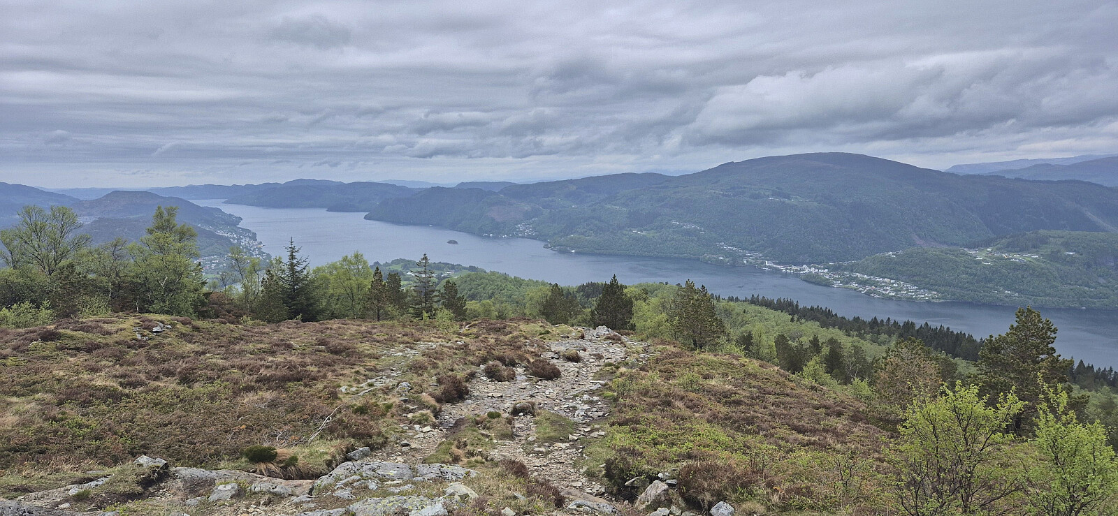 A return to Arna for a revisit of Ådnanipa via a (for me) new route from Garnes. I had also considered continuing to Skåldalsfjellet , but the cold wind made this less appealing. Instead, I descended via a steep trail that on more than one occasion bordered on scrambling. Probably easier as an ascent route.

Ørneberget and Rognåsen in dense fog
- Date:
- 23.05.2026
- Characteristic:
- Hillwalk
- Duration:
- 1:31h
- Distance:
- 5.7km
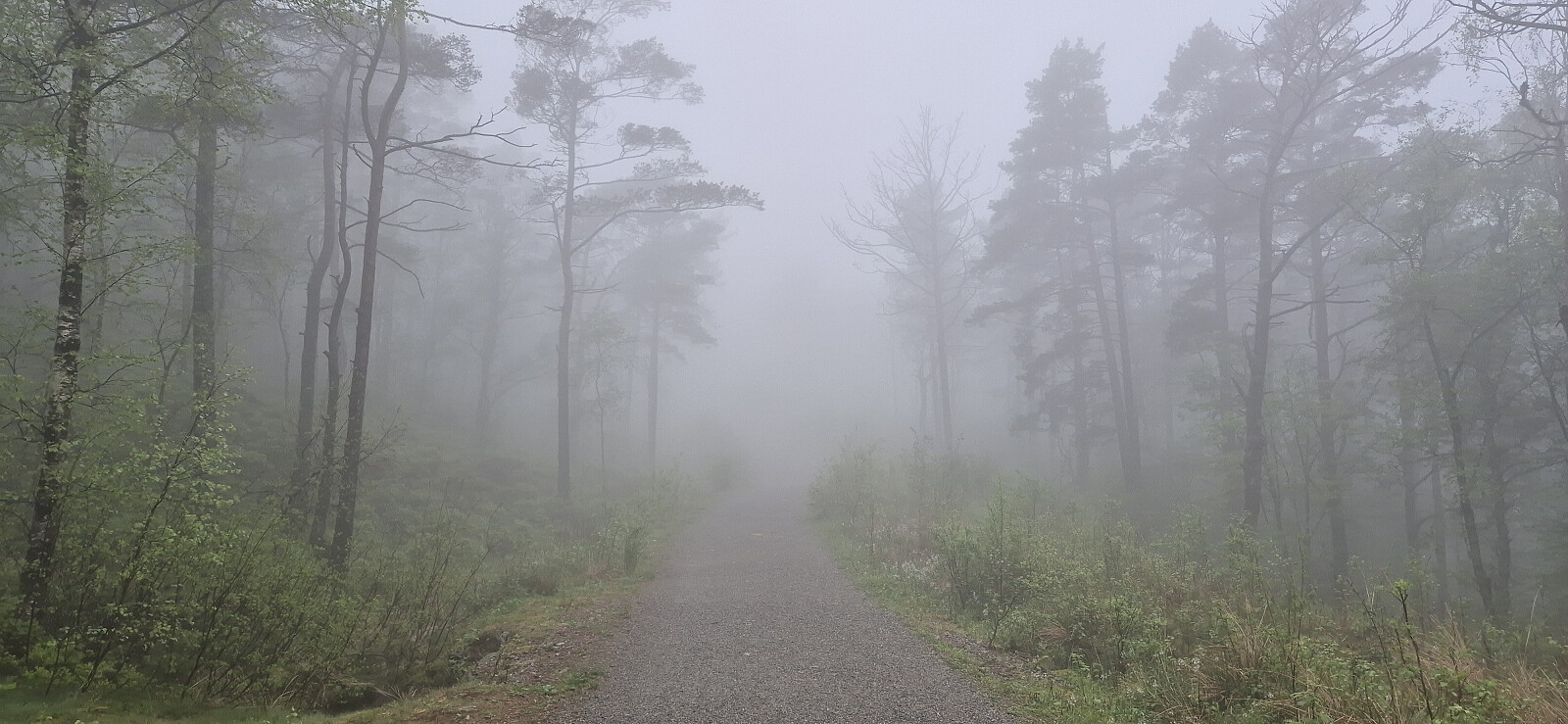 Short local Saturday hike in dense fog.
Across Hellen festning
- Date:
- 22.05.2026
- Characteristic:
- Hike
- Duration:
- 0:49h
- Distance:
- 3.9km
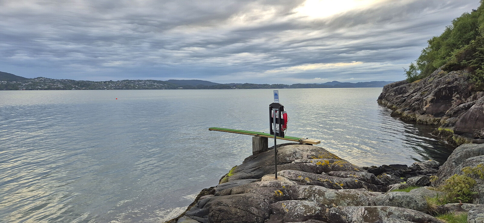 Short local evening hike.
Cycling: Eidsvåg and Munkebotn
- Date:
- 21.05.2026
- Characteristic:
- Bike trip - road
- Duration:
- 0:46h
- Distance:
- 11.2km
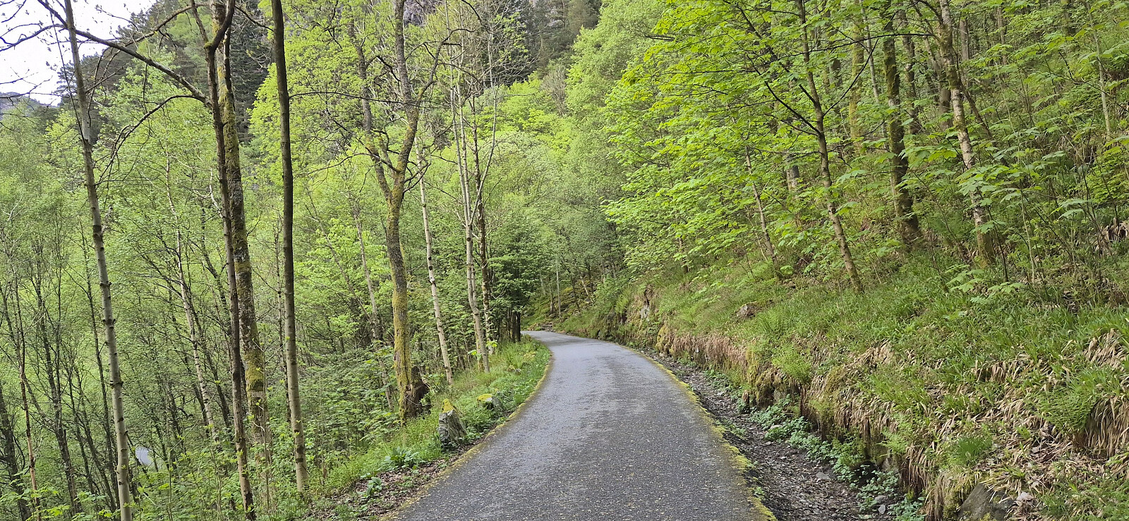 Short local evening cycling trip.
Across Hellen festning
- Date:
- 19.05.2026
- Characteristic:
- Hike
- Duration:
- 0:37h
- Distance:
- 3.1km
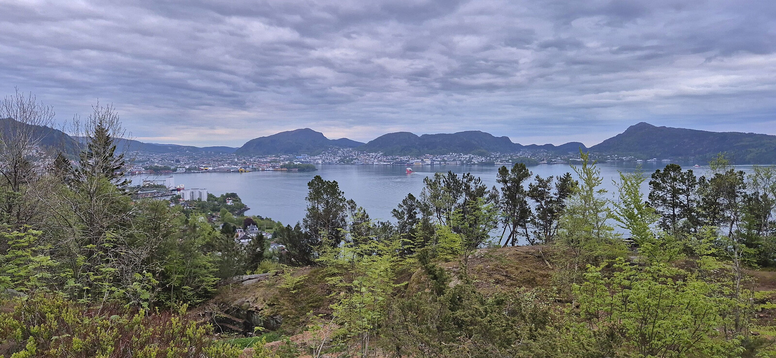 Short local evening hike.
Ørneberget and Furukammen
- Date:
- 17.05.2026
- Characteristic:
- Hillwalk
- Duration:
- 0:54h
- Distance:
- 3.9km
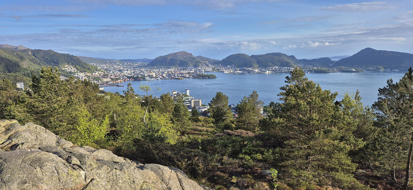 Short local evening hike that included my 250th ascent of Ørneberget (since 2016).
Cycling: Eidsvåg and Munkebotn
- Date:
- 16.05.2026
- Characteristic:
- Bike trip - road
- Duration:
- 0:49h
- Distance:
- 11.2km
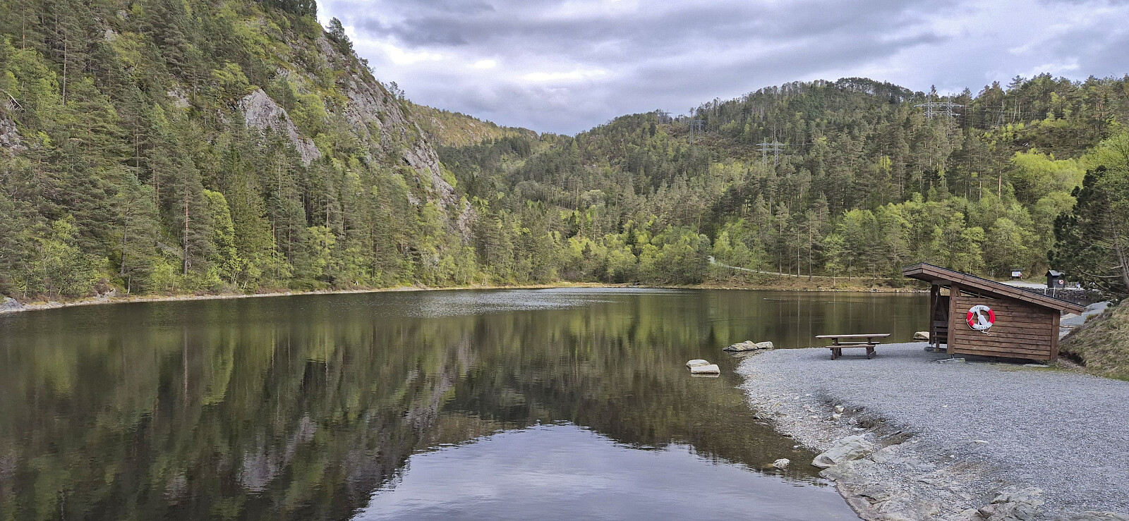 An easy start to the cycling season of 2026 after the long hike in Gulen the day before.
Svabergfjellet from Sollibotn
- Date:
- 15.05.2026
- Characteristic:
- Hillwalk
- Duration:
- 7:31h
- Distance:
- 20.5km
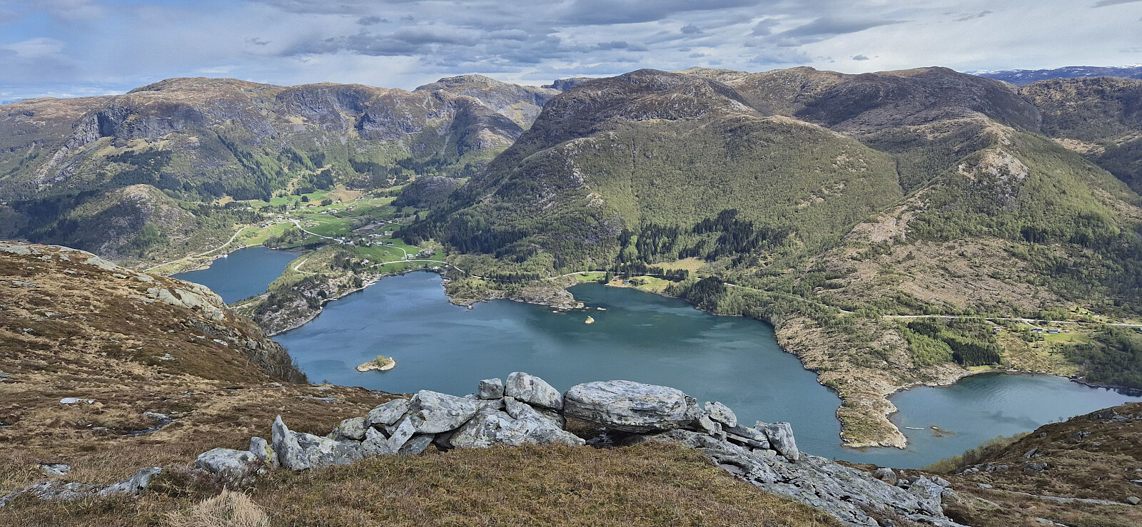 A return to Gulen to complete the ascent of Svabergfjellet that I had to abandon due to running out of time during my hike three weeks earlier . Once more I took the express boat from Bergen and followed the gravel path towards Eivindvik but this time skipping the visit of Gulakvila and Kvitebergnova and instead heading directly to Undertun and the marked trailhead for the hike around Undertundalen.
After a quick stop at Flogefjellet , I continued east towards Svabergfjellet via Flolifjellet on a rather weak and (at best) inconsistently marked trail. But at least the otherwise potentially challenging descent into Floliskardet was clearly marked and the overall direction, except for the descent to Floliskardet, was pretty obvious.
Due to a strong and cold wind at the summit, I did not stay long at Svabergfjellet but quickly continued towards Heia and Ormekletten , still on a rather weak and inconsistently >>>
A return to Gulen to complete the ascent of Svabergfjellet that I had to abandon due to running out of time during my hike three weeks earlier . Once more I took the express boat from Bergen and followed the gravel path towards Eivindvik but this time skipping the visit of Gulakvila and Kvitebergnova and instead heading directly to Undertun and the marked trailhead for the hike around Undertundalen.
After a quick stop at Flogefjellet , I continued east towards Svabergfjellet via Flolifjellet on a rather weak and (at best) inconsistently marked trail. But at least the otherwise potentially challenging descent into Floliskardet was clearly marked and the overall direction, except for the descent to Floliskardet, was pretty obvious.
Due to a strong and cold wind at the summit, I did not stay long at Svabergfjellet but quickly continued towards Heia and Ormekletten , still on a rather weak and inconsistently >>>
Across Hellen festning
- Date:
- 14.05.2026
- Characteristic:
- Hike
- Duration:
- 0:37h
- Distance:
- 3.1km
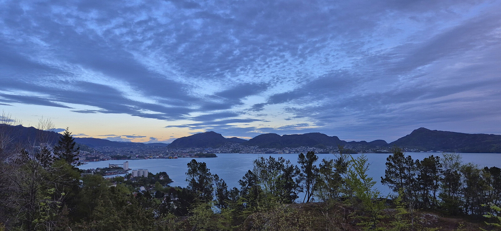 Short local evening hike after spending Ascension Day at the home office.
Voksenkollen to Frognerseteren via Tryvannshøgda
- Date:
- 12.05.2026
- Characteristic:
- Hike
- Duration:
- 0:41h
- Distance:
- 3.1km
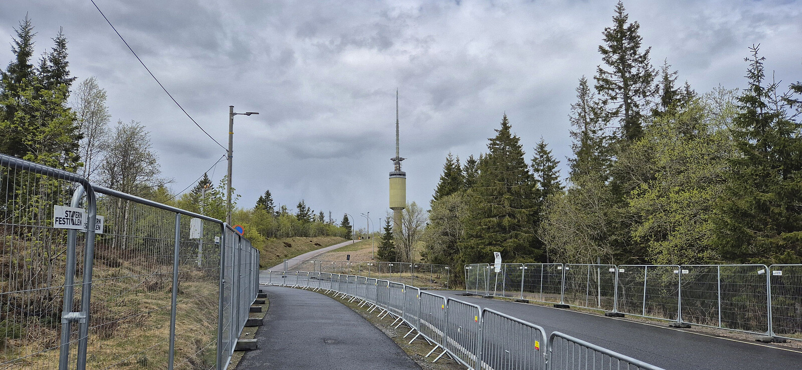 When a two-day conference in Oslo came to an end, I did not head directly for the airport but rather hopped on the metro for a short hike to Tryvannshøgda . I got off at Voksenkollen and from there followed the roads towards the large tower near the summit. The highest point was just next to the road and was thus easily reached. From the top, I descended via various gravel roads to the metro stop at Frognerseteren. Here I had considered to include a visit of Roseslottet , but due to a ticket price of 100 kr and only 10 minutes to spare, I decided to leave this for a potential future visit.


