Archive - Date
Archive - Activity
-
Bike trip (110)
- Bike trip - mixed (25)
- Bike trip - road (85)
-
Drive (9)
- Car drive (9)
-
Other trip (3)
- Kayaking (3)
-
Ski trip (116)
- Backcountry skiing (69)
- Cross-country skiing (47)
- Trip by foot (1893)
Collected lists
-
Utvalgte topper og turmål i Bergen
(349/350)
 99%
99% -
Alle topper i Bergen
(393/398)
98%
-
Voss ≥ 100m pf.
(96/98)
97%
-
Opptur Hordaland
(144/159)
90%
-
Stasjoner på Bergensbanen
(33/40)
82%
-
Ulvik ≥ 100m pf.
(28/38)
73%
-
Hordaland ≥ 100m pf.
(622/863)
72%
-
Mjølfjell PF > 100m
(21/31)
67%
-
Jondal ≥ 100m pf.
(15/23)
65%
-
Dagsturhyttene i Vestland
(36/61)
59%
-
Sunnhordland PF >= 100m
(105/186)
56%
-
Hordaland: Hardanger PF>=100m
(194/359)
54%
-
DNT-hytter i Hordaland
(23/45)
51%
-
Kvinnherad ≥ 100m pf.
(40/79)
50%
-
Eidfjord ≥ 100m pf.
(13/42)
30%
-
Sogndal ≥ 100m pf.
(23/81)
28%
-
Gulen ≥ 100m pf.
(15/54)
27%
-
Vik i Sogn ≥ 100m pf.
(10/46)
21%
-
Sogn - Sør for Sognefjorden PF>=100m
(31/159)
19%
-
DNT-hytter i Sogn og Fjordane
(8/47)
17%

Ulriken from Haukeland sykehus
- Date:
- 12.03.2025
- Characteristic:
- Hillwalk
- Duration:
- 3:08h
- Distance:
- 7.0km
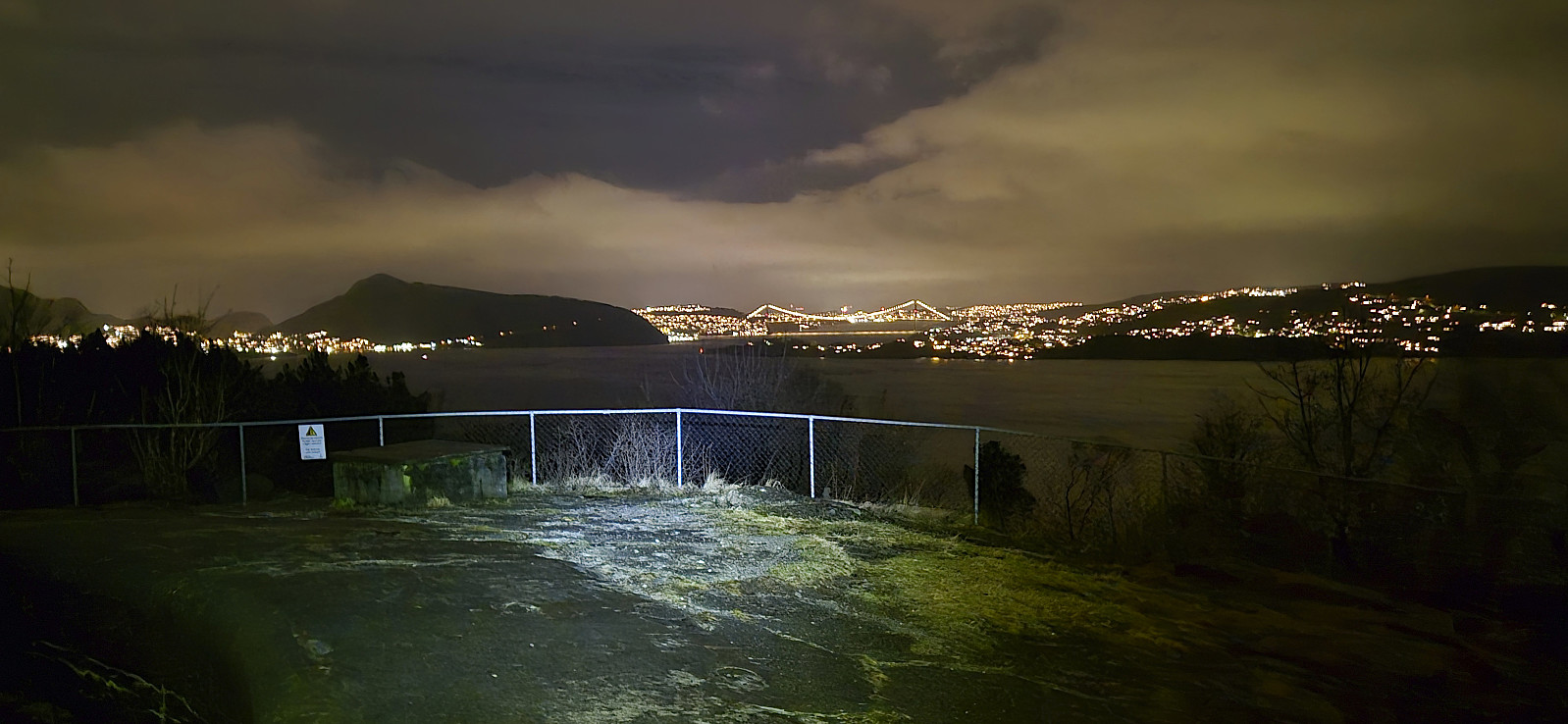
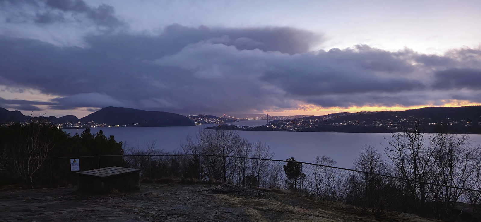
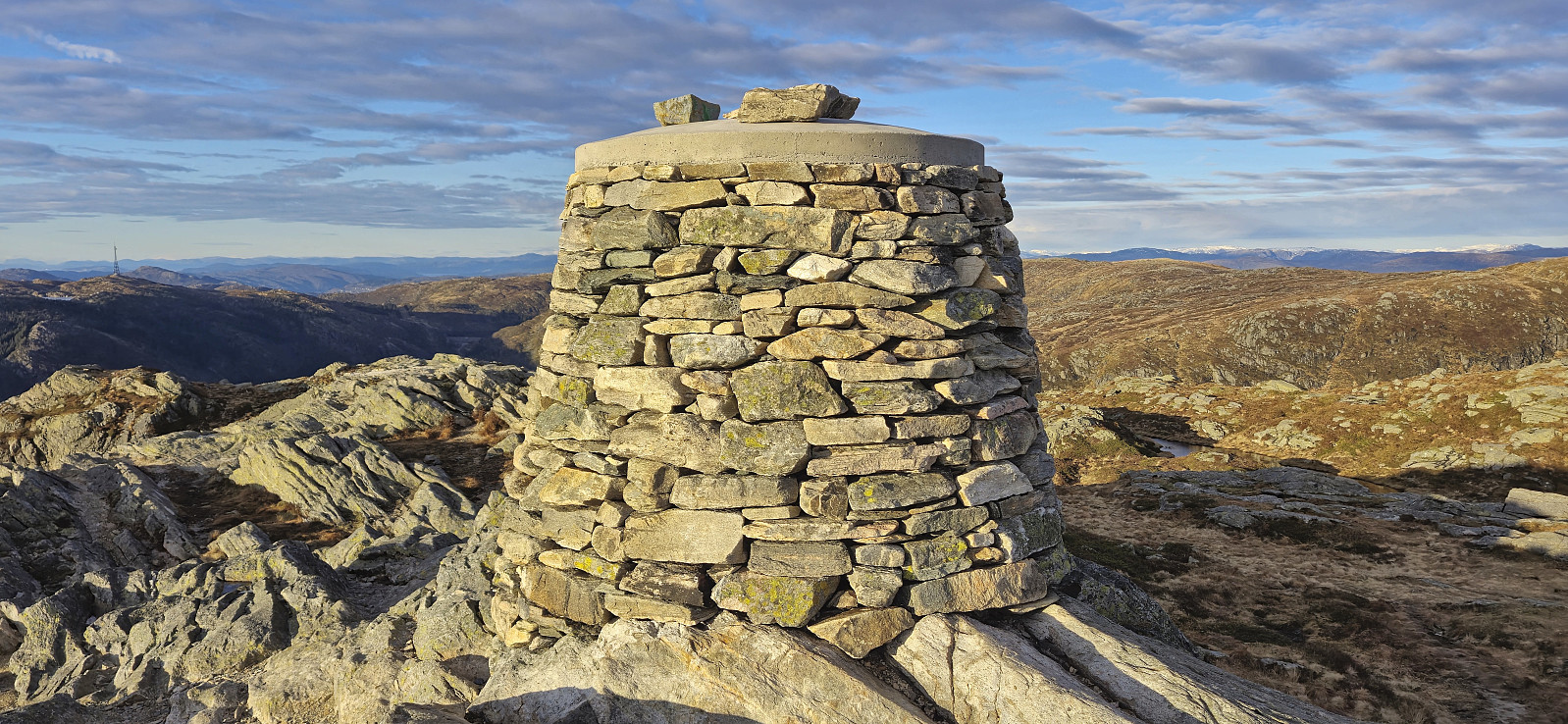 Hike to Ulriken after work with some of my colleagues. After getting to the top of Oppstemten we followed the newly marked route to the real summit of Ulriken and the recently rebuilt cairn, before descending via Stormfuglen .
Gullbotn to Takvam via Steinfjellet, Ramfjellet and Onuken
- Date:
- 09.03.2025
- Characteristic:
- Hillwalk
- Duration:
- 6:51h
- Distance:
- 19.2km
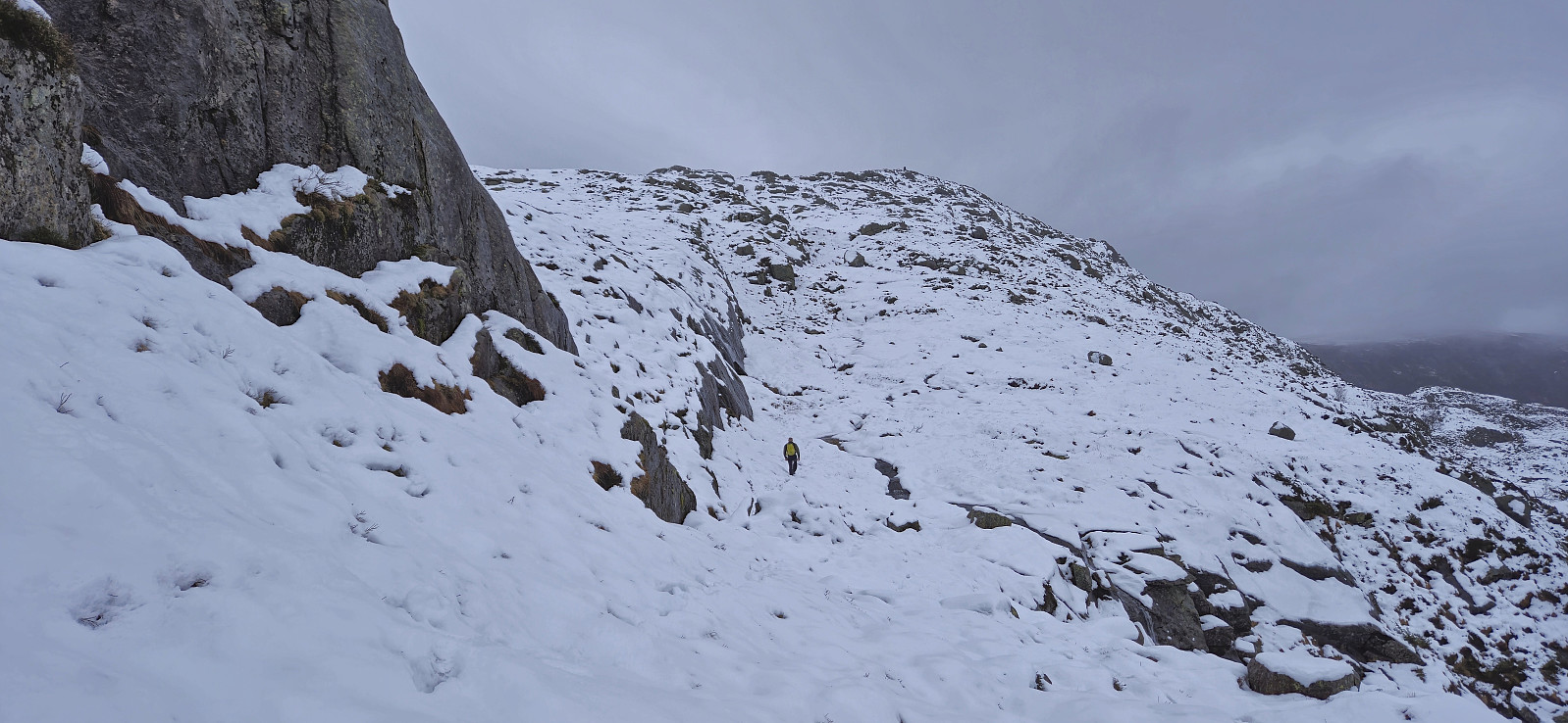
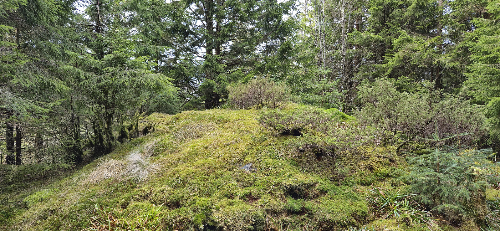
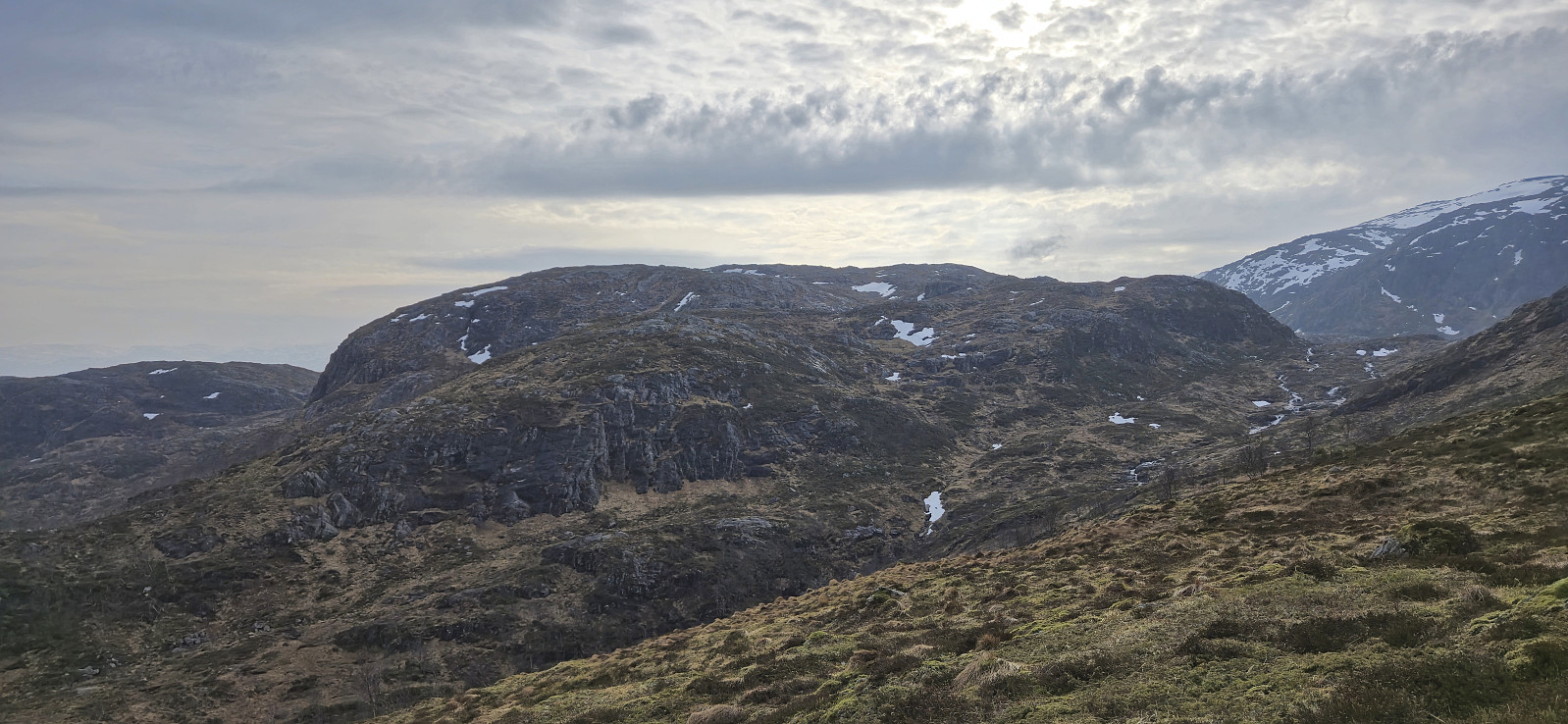 Ever since turning back just below the summit of Steinfjellet last summer , I knew that I one day had to return to complete the job. This time I arrived by bus from Bergen and started by following the trails up to where Gullbotn is indicated on the map. Last time we had tried to ascend from the east, so this time I therefore ascended further south before later turning north towards the highest point. Much easier and the summit was reached without any real challenges.
From Steinfjellet I continued north to Ramfjellet . Getting there was overall straightforward, but I did lose around 230 vertical meters in the process. After a quick lunch break north of the summit, with better views than from the summit itself, I turned back and headed south for Romslabotn. Just before starting the ascent to Romslabotsriden, I came across five deer, where two of them even took the time >>>
Ever since turning back just below the summit of Steinfjellet last summer , I knew that I one day had to return to complete the job. This time I arrived by bus from Bergen and started by following the trails up to where Gullbotn is indicated on the map. Last time we had tried to ascend from the east, so this time I therefore ascended further south before later turning north towards the highest point. Much easier and the summit was reached without any real challenges.
From Steinfjellet I continued north to Ramfjellet . Getting there was overall straightforward, but I did lose around 230 vertical meters in the process. After a quick lunch break north of the summit, with better views than from the summit itself, I turned back and headed south for Romslabotn. Just before starting the ascent to Romslabotsriden, I came across five deer, where two of them even took the time >>>
Fagerdalsfjellet and Hellemyrstien
- Date:
- 08.03.2025
- Characteristic:
- Hillwalk
- Duration:
- 1:34h
- Distance:
- 5.7km
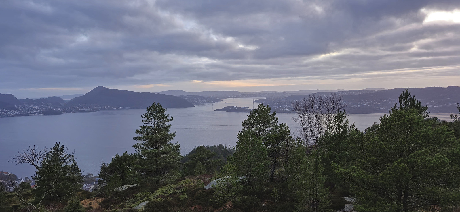
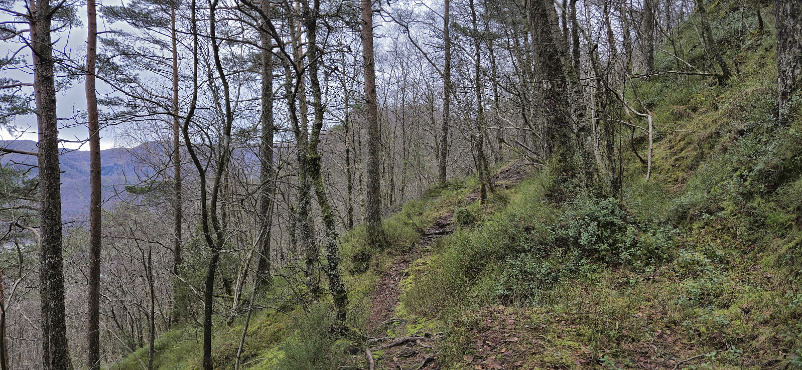 Local Saturday hike exploring a (for me) new trail on the northern side of Ørneberget with unusual views into Eidsvågen and Jordalen.
Ørneberget and Hellen festning
- Date:
- 07.03.2025
- Characteristic:
- Hillwalk
- Duration:
- 1:00h
- Distance:
- 4.3km
 Short local hike after work.
Across Hellen festning
- Date:
- 06.03.2025
- Characteristic:
- Hike
- Duration:
- 0:37h
- Distance:
- 3.2km
 Short local evening hike.
Hellemyrstien, Gamle Bergen and Hellen festning
- Date:
- 02.03.2025
- Characteristic:
- Hike
- Duration:
- 2:43h
- Distance:
- 10.7km
 Local hike on a gray Sunday.
Grønefjellet from Fossdalen
- Date:
- 01.03.2025
- Characteristic:
- Hillwalk
- Duration:
- 2:48h
- Distance:
- 6.7km
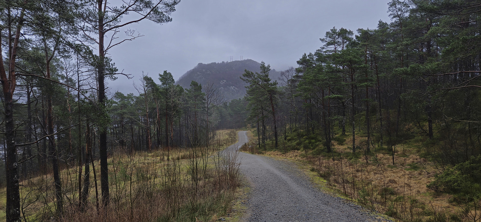
 After our ascent of Austefjellet , Endre and I drove the short distance south and then northeast to Fossdalen. Here there was a marked parking lot for hikers , although we had it all to ourselves this afternoon.
From the parking lot we followed the road north for another 200 meters before crossing Fossdalselva on a stone bridge and the continuing on a sparsely marked trail to Fossdalsstølen where the trail seemed to come to an end.
The river was easily crossed just north of the cabin and from there we simply found our own way to the summit of Grønefjellet without coming across any real challenges, except for a deepening layer of wet snow.
Our initial plan had been to continue to Skorefjellet , and Endre was even considering Stendarskarfjellet , but with the light quickly fading and the snow greatly slowing our progress, we quickly agreed to rather just return the same way. Darkness fully set in before we reached >>>
After our ascent of Austefjellet , Endre and I drove the short distance south and then northeast to Fossdalen. Here there was a marked parking lot for hikers , although we had it all to ourselves this afternoon.
From the parking lot we followed the road north for another 200 meters before crossing Fossdalselva on a stone bridge and the continuing on a sparsely marked trail to Fossdalsstølen where the trail seemed to come to an end.
The river was easily crossed just north of the cabin and from there we simply found our own way to the summit of Grønefjellet without coming across any real challenges, except for a deepening layer of wet snow.
Our initial plan had been to continue to Skorefjellet , and Endre was even considering Stendarskarfjellet , but with the light quickly fading and the snow greatly slowing our progress, we quickly agreed to rather just return the same way. Darkness fully set in before we reached >>>
Austefjellet from Molland
- Date:
- 01.03.2025
- Characteristic:
- Hillwalk
- Duration:
- 1:33h
- Distance:
- 3.8km
 To make the most of the forecasted longer break between the rain showers, Endre and I postponed our planned early start from Bergen and instead left around noon. Upon arriving at Molland it was still raining but after a couple of minutes of waiting in the car we put on our rain gear and proceeded to the marked trailhead for Austefjellet , and it would not take long before it stopped raining altogether.
We had left our car next to the road just south of the northernmost houses in Molland, as learned from previous trip reports, but there was now a new small parking lot (with room for maybe 2-3 cars) just around the next corner. From there on there were signs and trail markers all the way to the summit.
Given the easy-to-follow trail it did not take long before we arrived at the large summit cairn. Sadly, most of the probably excellent >>>
To make the most of the forecasted longer break between the rain showers, Endre and I postponed our planned early start from Bergen and instead left around noon. Upon arriving at Molland it was still raining but after a couple of minutes of waiting in the car we put on our rain gear and proceeded to the marked trailhead for Austefjellet , and it would not take long before it stopped raining altogether.
We had left our car next to the road just south of the northernmost houses in Molland, as learned from previous trip reports, but there was now a new small parking lot (with room for maybe 2-3 cars) just around the next corner. From there on there were signs and trail markers all the way to the summit.
Given the easy-to-follow trail it did not take long before we arrived at the large summit cairn. Sadly, most of the probably excellent >>>
Across Hellen festning
- Date:
- 27.02.2025
- Characteristic:
- Hike
- Duration:
- 0:36h
- Distance:
- 3.2km
 Short local hike just after sunset.
Åsen, Sauhaugen, Mjeldheimssåta and Vårheia
- Date:
- 23.02.2025
- Characteristic:
- Hillwalk
- Duration:
- 2:51h
- Distance:
- 9.5km
 A return to Arna on a windy Sunday with the main objective of visiting Åsen over Holereset , yet another minor peak on the Alle topper i Bergen list . I started by taking the train to Arna, from where the initial plan had been to walk along the paved roads up to Kvamsvegen p-plass , but when coming across a recently marked trail south of Vårheia , I of course took the chance to get off the road and instead followed the trail.
After later reconnecting with the paved road I followed the trail up to Gapahuk Kvamme Gård and from there tried to continue on a tractor road and trail the map indicated would take me to the summit of Åsen over Holereset. The tractor road was however nothing more than a large opening between the trees and of the trail I did not see any traces until getting up on the ridge. From there it was straightforward to get to the highest point, which sadly did not provide >>>
A return to Arna on a windy Sunday with the main objective of visiting Åsen over Holereset , yet another minor peak on the Alle topper i Bergen list . I started by taking the train to Arna, from where the initial plan had been to walk along the paved roads up to Kvamsvegen p-plass , but when coming across a recently marked trail south of Vårheia , I of course took the chance to get off the road and instead followed the trail.
After later reconnecting with the paved road I followed the trail up to Gapahuk Kvamme Gård and from there tried to continue on a tractor road and trail the map indicated would take me to the summit of Åsen over Holereset. The tractor road was however nothing more than a large opening between the trees and of the trail I did not see any traces until getting up on the ridge. From there it was straightforward to get to the highest point, which sadly did not provide >>>
