Archive - Date
Archive - Activity
-
Bike trip (110)
- Bike trip - mixed (25)
- Bike trip - road (85)
-
Drive (9)
- Car drive (9)
-
Other trip (3)
- Kayaking (3)
-
Ski trip (116)
- Backcountry skiing (69)
- Cross-country skiing (47)
- Trip by foot (1893)
Collected lists
-
Utvalgte topper og turmål i Bergen
(349/350)
 99%
99% -
Alle topper i Bergen
(393/398)
98%
-
Voss ≥ 100m pf.
(96/98)
97%
-
Opptur Hordaland
(144/159)
90%
-
Stasjoner på Bergensbanen
(33/40)
82%
-
Ulvik ≥ 100m pf.
(28/38)
73%
-
Hordaland ≥ 100m pf.
(622/863)
72%
-
Mjølfjell PF > 100m
(21/31)
67%
-
Jondal ≥ 100m pf.
(15/23)
65%
-
Dagsturhyttene i Vestland
(36/61)
59%
-
Sunnhordland PF >= 100m
(105/186)
56%
-
Hordaland: Hardanger PF>=100m
(194/359)
54%
-
DNT-hytter i Hordaland
(23/45)
51%
-
Kvinnherad ≥ 100m pf.
(40/79)
50%
-
Eidfjord ≥ 100m pf.
(13/42)
30%
-
Sogndal ≥ 100m pf.
(23/81)
28%
-
Gulen ≥ 100m pf.
(15/54)
27%
-
Vik i Sogn ≥ 100m pf.
(10/46)
21%
-
Sogn - Sør for Sognefjorden PF>=100m
(31/159)
19%
-
DNT-hytter i Sogn og Fjordane
(8/47)
17%

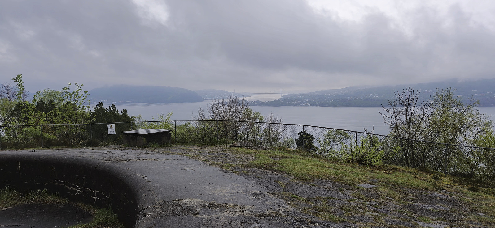
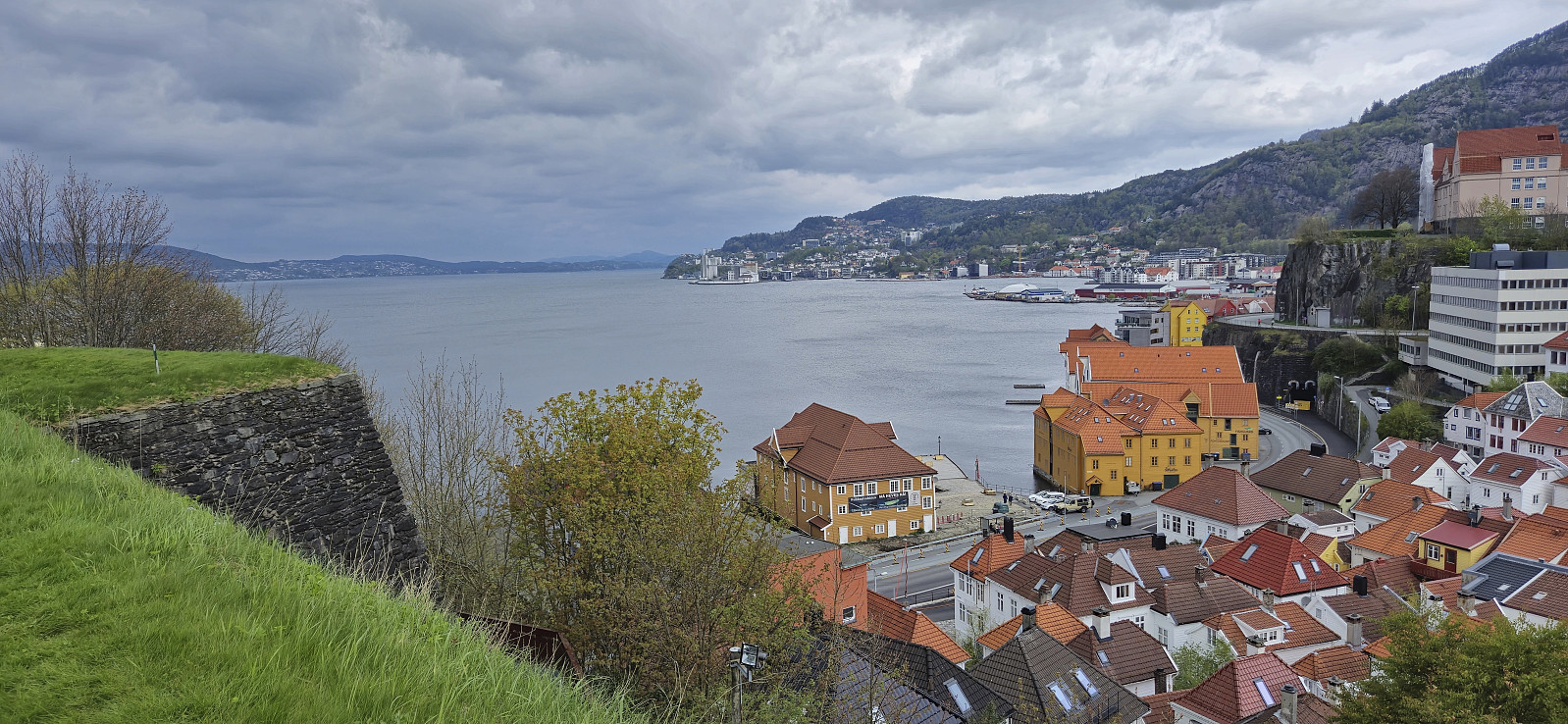
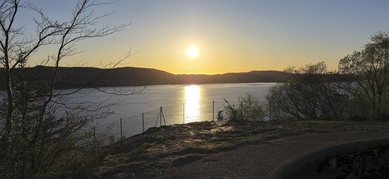
Across Hellen festning
- Date:
- 11.05.2025
- Characteristic:
- Hike
- Duration:
- 0:38h
- Distance:
- 3.2km
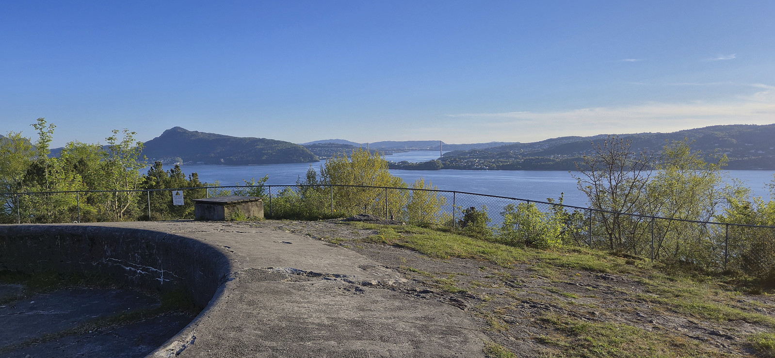 Short local Sunday hike after spending all of yesterday skiing at Finse .
Skiing: Vargabreen from Finse
- Date:
- 10.05.2025
- Characteristic:
- Backcountry skiing
- Duration:
- 6:43h
- Distance:
- 24.7km
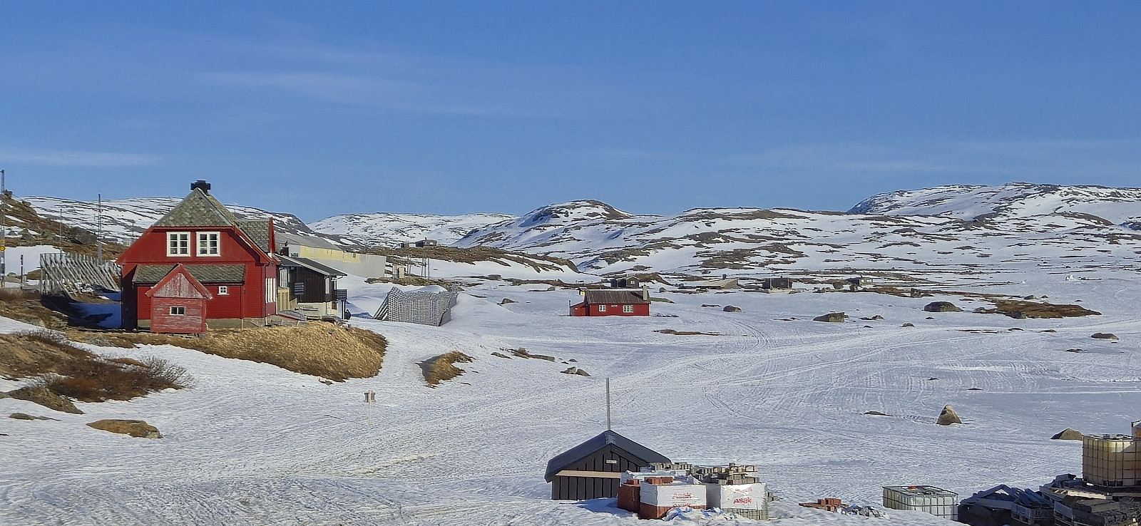 Three weeks after my ascents of Flakavassnutane and Såtehjallane I was back at Finse for what would most likely be the last skiing trip of the season. After safely crossing to the other side of the train tracks, I started on the marked winter route towards Geiterygghytta before later turning west in Såtedalen and briefly following the marked winter route to Hallingskeid. The final off-trail ascent to the highest point at Vargabreen was straightforward and it was easy to find a route that avoided all of the steeper areas.
After a lunch break at the summit I made the short detour north to the only slightly lower northern summit before turning back and descending along the same route. A descent that turned out a bit more complicated than expected given that I at the top had discovered that the soles of my ski boots, which were only two years old, were in the process of detaching from the rest of the >>>
Three weeks after my ascents of Flakavassnutane and Såtehjallane I was back at Finse for what would most likely be the last skiing trip of the season. After safely crossing to the other side of the train tracks, I started on the marked winter route towards Geiterygghytta before later turning west in Såtedalen and briefly following the marked winter route to Hallingskeid. The final off-trail ascent to the highest point at Vargabreen was straightforward and it was easy to find a route that avoided all of the steeper areas.
After a lunch break at the summit I made the short detour north to the only slightly lower northern summit before turning back and descending along the same route. A descent that turned out a bit more complicated than expected given that I at the top had discovered that the soles of my ski boots, which were only two years old, were in the process of detaching from the rest of the >>>
Across Hellen festning
- Date:
- 06.05.2025
- Characteristic:
- Hike
- Duration:
- 0:36h
- Distance:
- 3.1km
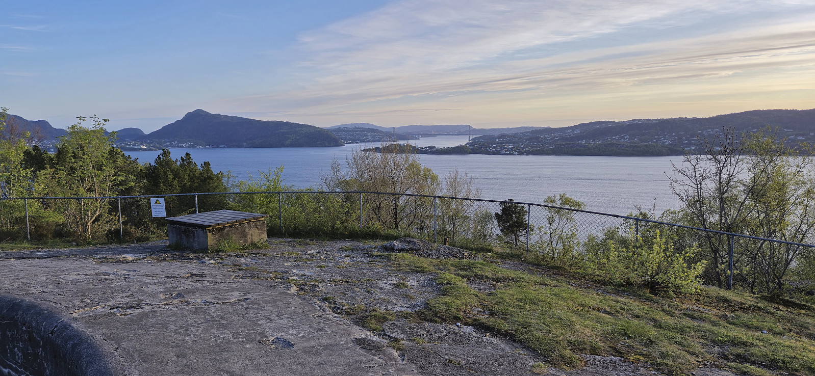 Short local evening hike.
Samlen from Herand
- Date:
- 04.05.2025
- Characteristic:
- Hillwalk
- Duration:
- 6:36h
- Distance:
- 15.5km
 Started by taking an early bus from Bergen to Norheimsund to catch the express boat at 09:00. While the boat continued all the way to Eidfjord, I got off at the first stop and was finally ready to begin my ascent of Samlen from Herand shortly before 09:30.
To get to the trailhead east of the summit, I followed the paved road northeastward for roughly an hour. At the trailhead I was welcomed by a message that the trail to Samlen had gotten a new starting point in relation to Hardangertrappa (a new route including stone steps that is in the process of being completed). Hoping that the sign did not indicate that the older trail was no longer usable, I continued my ascent, and while the trail was a bit steep and rough at times, it was overall straightforward to follow.
In any case, it did not take very long before the two trails connected, >>>
Started by taking an early bus from Bergen to Norheimsund to catch the express boat at 09:00. While the boat continued all the way to Eidfjord, I got off at the first stop and was finally ready to begin my ascent of Samlen from Herand shortly before 09:30.
To get to the trailhead east of the summit, I followed the paved road northeastward for roughly an hour. At the trailhead I was welcomed by a message that the trail to Samlen had gotten a new starting point in relation to Hardangertrappa (a new route including stone steps that is in the process of being completed). Hoping that the sign did not indicate that the older trail was no longer usable, I continued my ascent, and while the trail was a bit steep and rough at times, it was overall straightforward to follow.
In any case, it did not take very long before the two trails connected, >>>
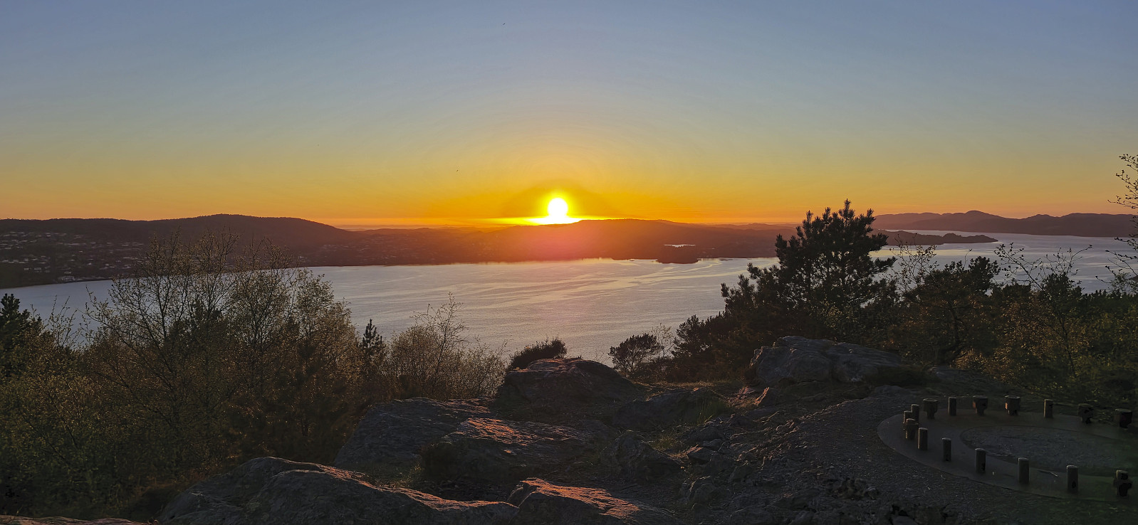
Across Hellen festning
- Date:
- 01.05.2025
- Characteristic:
- Hike
- Duration:
- 0:37h
- Distance:
- 3.2km
 Short local hike trying to avoid the worst of the rainshowers.
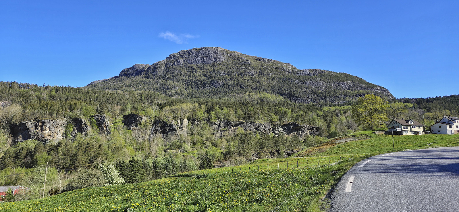
Manen from Pallane
- Date:
- 30.04.2025
- Characteristic:
- Hillwalk
- Duration:
- 3:17h
- Distance:
- 7.4km
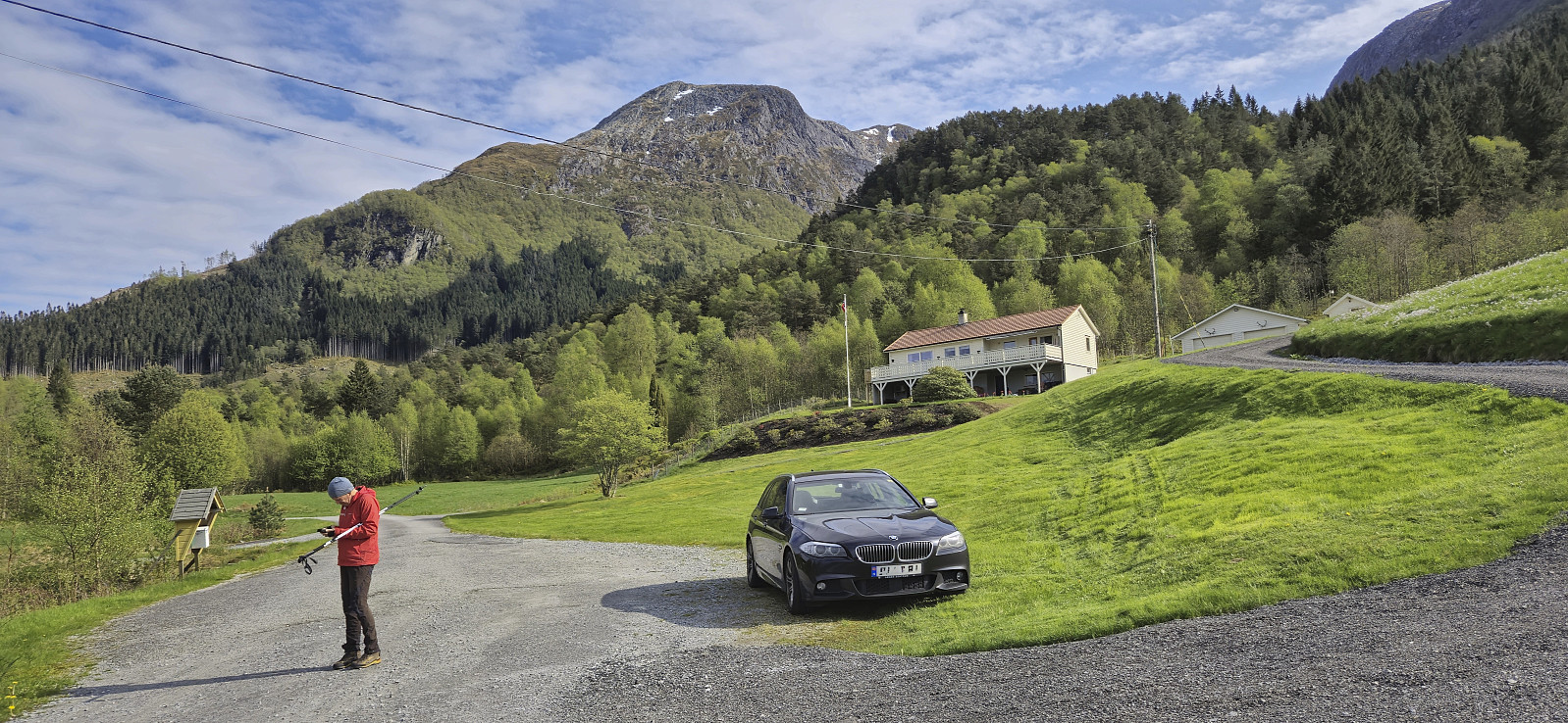 When my plans to spend the first of May skiing at Finse had to be postponed due to bad weather, I instead left work early the day before for a trip to Kvinnherad with Petter . We drove south from Bergen and made the 16:10-ferry from Gjermundshamn with plenty of time to spare.
After crossing the fjord we drove the short distance south to the start of Uskedalen where we parked next to the marked trailhead at Pallane in Eikevegen and were ready to start our hike to Manen shortly after five.
We began by following a tractor road up to the start of the marked trail. The trail was however at first rather weak and we quickly lost it. But after a couple of minutes we found it again and from there on it was straightforward to follow it all the way to the summit. Note however that the trail seems to end at a large cairn that is not at the highest point. The summit >>>
When my plans to spend the first of May skiing at Finse had to be postponed due to bad weather, I instead left work early the day before for a trip to Kvinnherad with Petter . We drove south from Bergen and made the 16:10-ferry from Gjermundshamn with plenty of time to spare.
After crossing the fjord we drove the short distance south to the start of Uskedalen where we parked next to the marked trailhead at Pallane in Eikevegen and were ready to start our hike to Manen shortly after five.
We began by following a tractor road up to the start of the marked trail. The trail was however at first rather weak and we quickly lost it. But after a couple of minutes we found it again and from there on it was straightforward to follow it all the way to the summit. Note however that the trail seems to end at a large cairn that is not at the highest point. The summit >>>
Torget to Lønborg via Hellemyrstien
- Date:
- 27.04.2025
- Characteristic:
- Hike
- Duration:
- 2:18h
- Distance:
- 9.2km
 Easy Sunday walk after spending most of yesterday hiking in Kvinnherad .
Hillesdalsfjell and Håfjell
- Date:
- 26.04.2025
- Characteristic:
- Hillwalk
- Duration:
- 5:27h
- Distance:
- 14.6km
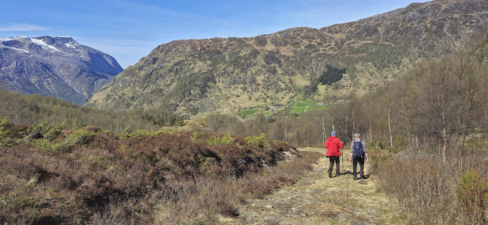 Kjell picked me up at 06:50 for the short drive to meet up with Petter and from his place we all continued in Petter's car to Gjermundshamn for the 09:00-ferry to Årsnes. After crossing the fjord, we drove south via Rosendal to Matre and Matersdalen where we found parking next to the road and were finally ready to start hiking shortly after 10:00.
From the car we briefly descended back down the paved road before ascending south along a tractor road up to Vadtjørnane. Here we aimed for Hillesdalsfjell and pretty much followed a straight line towards the summit. We did spot one or two red trail markers on the way, but these were quite faint and of the trail itself we did not really see much evidence. Hence the route has to be described as off-trail but still straightforward and without any real challenges.
After a couple >>>
Kjell picked me up at 06:50 for the short drive to meet up with Petter and from his place we all continued in Petter's car to Gjermundshamn for the 09:00-ferry to Årsnes. After crossing the fjord, we drove south via Rosendal to Matre and Matersdalen where we found parking next to the road and were finally ready to start hiking shortly after 10:00.
From the car we briefly descended back down the paved road before ascending south along a tractor road up to Vadtjørnane. Here we aimed for Hillesdalsfjell and pretty much followed a straight line towards the summit. We did spot one or two red trail markers on the way, but these were quite faint and of the trail itself we did not really see much evidence. Hence the route has to be described as off-trail but still straightforward and without any real challenges.
After a couple >>>
Across Hellen festning
- Date:
- 24.04.2025
- Characteristic:
- Hike
- Duration:
- 0:43h
- Distance:
- 3.4km
 Short local hike before sunset.
Ørneberget and Furukammen
- Date:
- 23.04.2025
- Characteristic:
- Hillwalk
- Duration:
- 1:04h
- Distance:
- 4.0km
 Short local hike just before sunset.
