Archive - Date
Archive - Activity
-
Bike trip (111)
- Bike trip - mixed (25)
- Bike trip - road (86)
-
Drive (9)
- Car drive (9)
-
Other trip (3)
- Kayaking (3)
-
Ski trip (116)
- Backcountry skiing (69)
- Cross-country skiing (47)
- Trip by foot (1898)
Collected lists
-
Utvalgte topper og turmål i Bergen
(349/351)
 99%
99% -
Alle topper i Bergen
(393/400)
98%
-
Voss ≥ 100m pf.
(96/98)
97%
-
Opptur Hordaland
(144/159)
90%
-
Stasjoner på Bergensbanen
(33/40)
82%
-
Ulvik ≥ 100m pf.
(30/38)
78%
-
Hordaland ≥ 100m pf.
(624/863)
72%
-
Mjølfjell PF > 100m
(21/31)
67%
-
Jondal ≥ 100m pf.
(15/23)
65%
-
Dagsturhyttene i Vestland
(36/61)
59%
-
Sunnhordland PF >= 100m
(105/186)
56%
-
Hordaland: Hardanger PF>=100m
(196/359)
54%
-
DNT-hytter i Hordaland
(23/45)
51%
-
Kvinnherad ≥ 100m pf.
(40/79)
50%
-
Eidfjord ≥ 100m pf.
(13/42)
30%
-
Sogndal ≥ 100m pf.
(23/81)
28%
-
Gulen ≥ 100m pf.
(15/54)
27%
-
Vik i Sogn ≥ 100m pf.
(10/46)
21%
-
Sogn - Sør for Sognefjorden PF>=100m
(31/159)
19%
-
DNT-hytter i Sogn og Fjordane
(8/47)
17%

Across Hellen festning
- Date:
- 12.12.2022
- Characteristic:
- Hike
- Duration:
- 0:34h
- Distance:
- 3.1km
 Early break from the home office for a short walk before sunset.
Geitanuken from Vestlandshallen
- Date:
- 11.12.2022
- Characteristic:
- Hillwalk
- Duration:
- 1:16h
- Distance:
- 5.1km
 A quick visit of Geitanuken after hitching a ride to Vestlandshallen.
Hellemyrstien and Hellen festning
- Date:
- 10.12.2022
- Characteristic:
- Hike
- Duration:
- 2:11h
- Distance:
- 6.0km
 Short local hike with my oldest nephew on a cold Saturday.
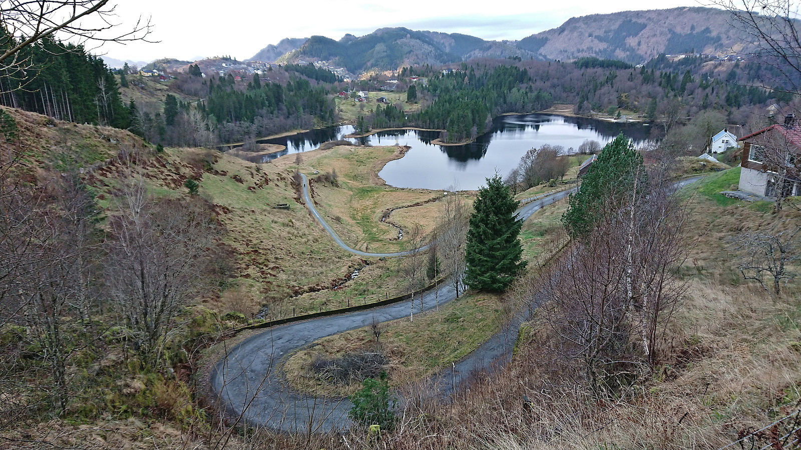
Skarpefjellsnakken and Stendarskarfjellet from Kringla
- Date:
- 04.12.2022
- Characteristic:
- Hillwalk
- Duration:
- 6:36h
- Distance:
- 21.3km
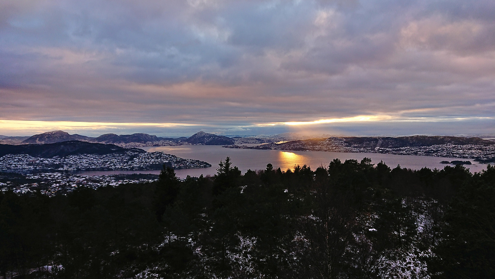
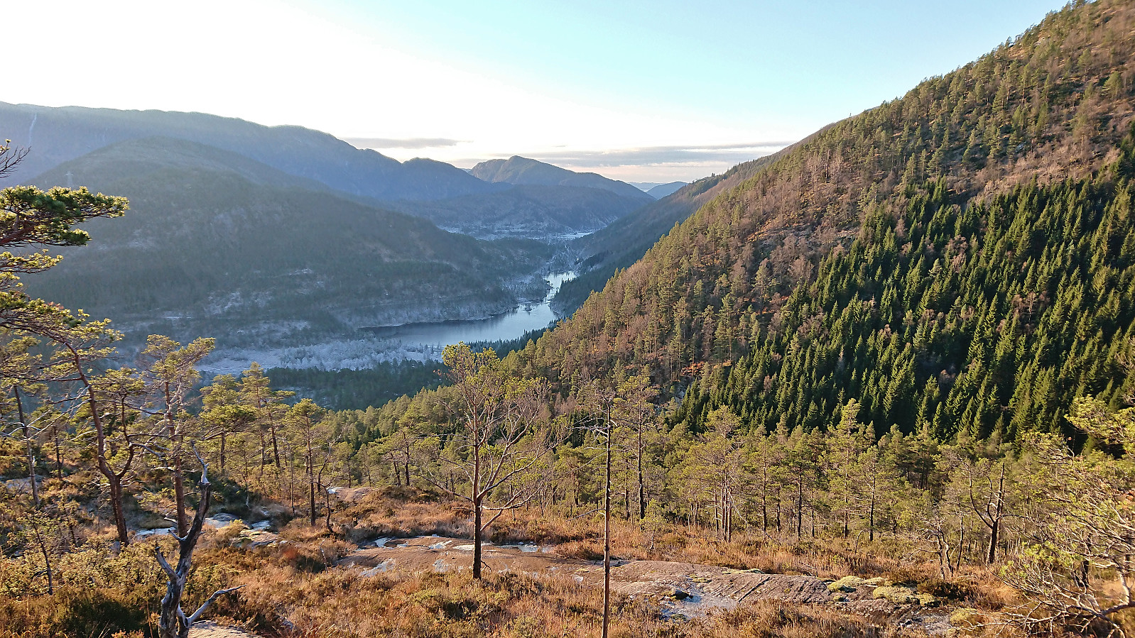 I started by taking the new double-decker express bus heading for Ålesund and got off at Kringla. Here I was welcomed by the first rays of sunlight hitting the east face of Skarpefjellsnakken (or more correctly Geirsvadklumpen) as I began my walk south/southwest along the road to Kalhovda. All of the previous trip reports had ascended Skarpefjellsnakken via the parking lot at Røyrbotnen , however as I had no need for parking, I thought I would rather try the trail indicated on the map starting from Legene.
The trailhead was more or less as indicated on the map, although hidden from the road. I therefore got confused by a gate west of the buildings at Legene, but this trail very quickly came to an end. After a short off-trail search I came across the first white and red plastic trail marker. The trail itself was much less clear, and while >>>
I started by taking the new double-decker express bus heading for Ålesund and got off at Kringla. Here I was welcomed by the first rays of sunlight hitting the east face of Skarpefjellsnakken (or more correctly Geirsvadklumpen) as I began my walk south/southwest along the road to Kalhovda. All of the previous trip reports had ascended Skarpefjellsnakken via the parking lot at Røyrbotnen , however as I had no need for parking, I thought I would rather try the trail indicated on the map starting from Legene.
The trailhead was more or less as indicated on the map, although hidden from the road. I therefore got confused by a gate west of the buildings at Legene, but this trail very quickly came to an end. After a short off-trail search I came across the first white and red plastic trail marker. The trail itself was much less clear, and while >>>
Kolhushaugen, Lyseskarfjellet and Fana kulturpark
- Date:
- 03.12.2022
- Characteristic:
- Hillwalk
- Duration:
- 1:47h
- Distance:
- 5.8km
 A return to Fana to visit Kolhushaugen , a recent addition to the Alle topper i Bergen list. I had passed close by Kolhushaugen when hiking the first stage of Jubileumsstien two years earlier but had then not considered ascending this small hill. Turns out that it can be easily accessed by a minor detour from the main trail and even provided quite good views. After the visit of Kolhushaugen, I made a revisit of Lyseskarfjellet before returning along the same route. Given that I had some time to spare before the bus back to Bergen, I ended the trip by a walk through Fana kulturpark .
Across Hellen festning
- Date:
- 02.12.2022
- Characteristic:
- Hike
- Duration:
- 0:39h
- Distance:
- 3.4km
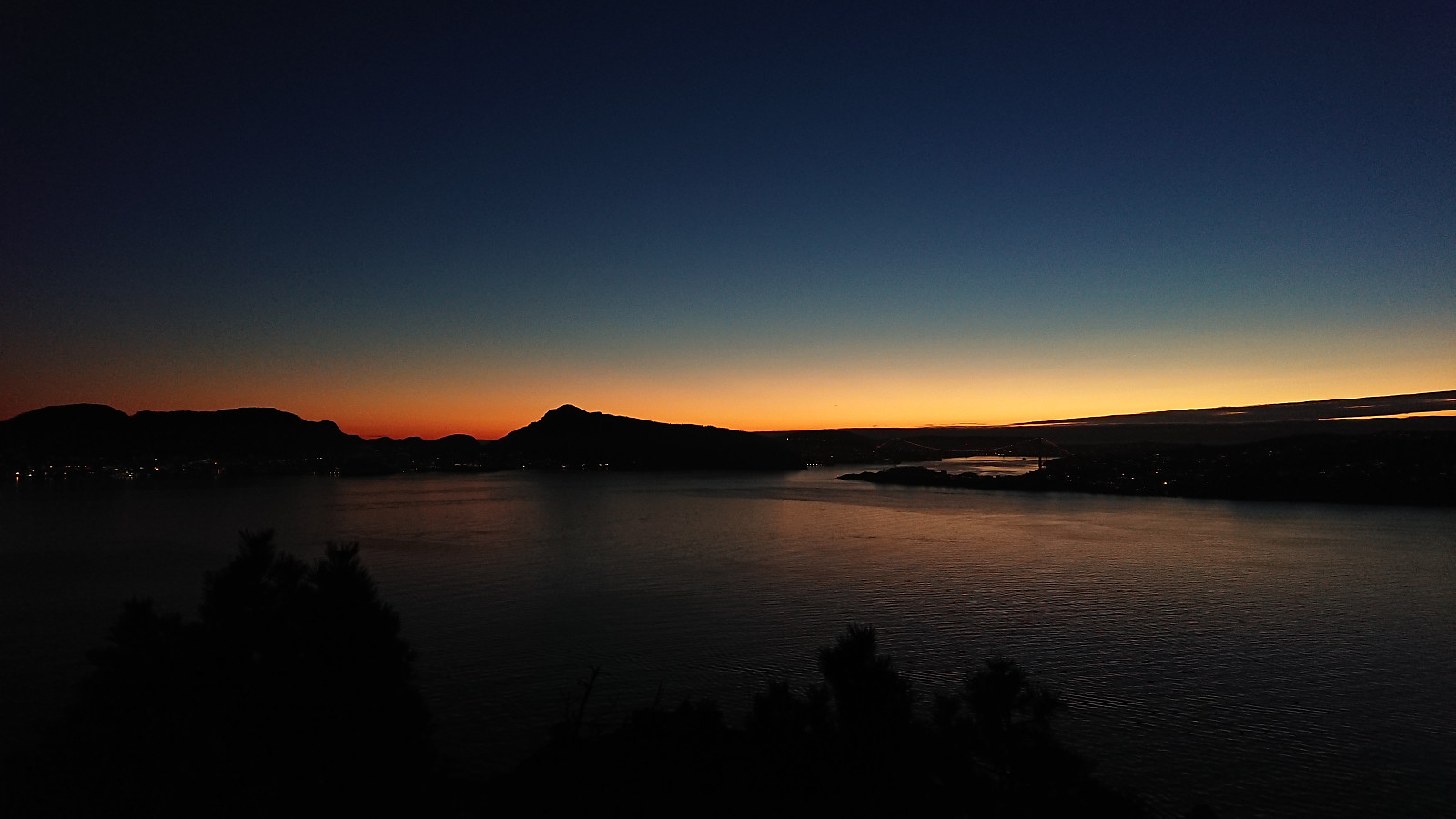 Short local hike just after sunset.
Starefossen to Lønborg
- Date:
- 27.11.2022
- Characteristic:
- Hike
- Duration:
- 2:22h
- Distance:
- 10.4km
 A wet Sunday with strong winds from the south. But by taking the bus to Starefossen I had the wind from behind for most of the hike home to Lønbørg.
Erstadfjellet, Brakabu and Brakvatnet
- Date:
- 26.11.2022
- Characteristic:
- Hillwalk
- Duration:
- 2:48h
- Distance:
- 11.4km
 A return to Erstadfjellet with the main objective of also visiting Brakabu , as it had not yet been built at my previous visit in 2017 . I could pretty much follow signs for Brakabu all the way from the ferry at Valestrand, first along paved roads and then on an overall good-quality trail to the summit of Erstadfjellet. Brakabu was quickly visited on the descent, before taking an alternative route down to Erstad and Brakvatnet. Even though this was just a transportation stage to get to the ferry, the winding gravel road and the nice lake made for a very enjoyable end to the hike.
Oppstemten
- Date:
- 23.11.2022
- Characteristic:
- Hillwalk
- Duration:
- 1:10h
- Distance:
- 4.6km
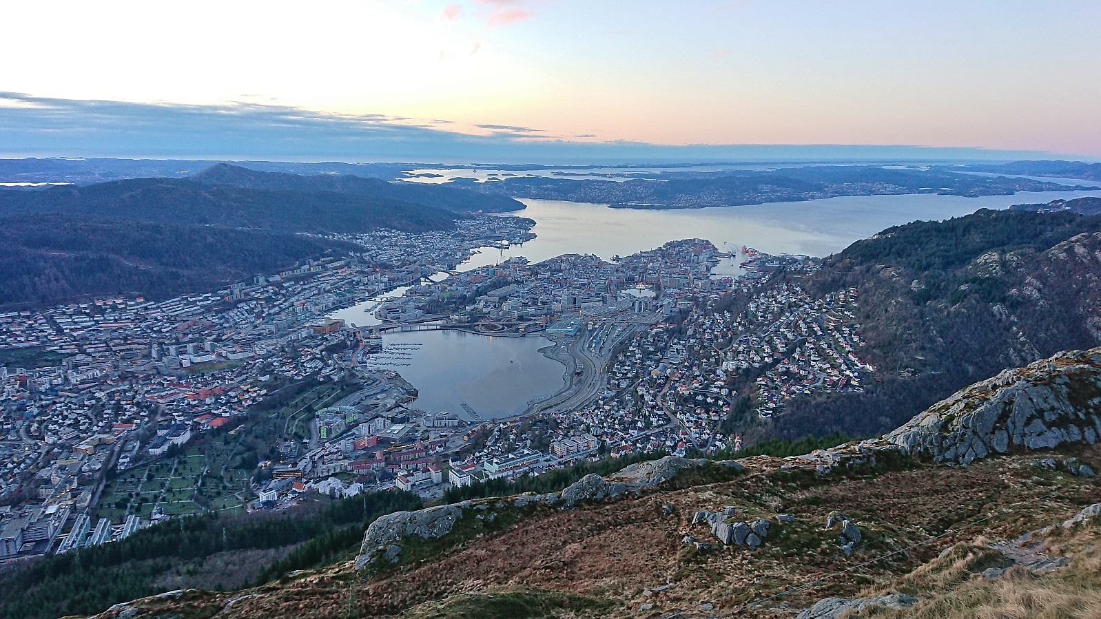 An attempt to catch the sunset from the top Ulriken, however the sun cheated and hid behind clouds before setting. Hence the sun disappeared even before I started on the stone steps. I took it relatively easy and made it to the top (from the start of the gravel road at Montana) in less than 28 minutes. Since my last visit the shortcut up from Ulriksbanen, apparently called Skotbergkleiven, had been greatly improved with new stone and metal steps at the start and then a gravel road.
Across Hellen festning
- Date:
- 21.11.2022
- Characteristic:
- Hike
- Duration:
- 0:34h
- Distance:
- 3.2km
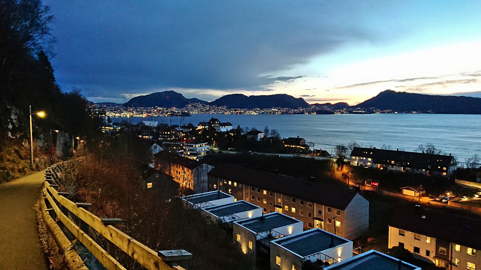 Short local hike just after sunset.
