Archiv - Nach Datum
Archiv - Nach Aktivität
-
Andere Tour (3)
- Kayaking (3)
-
Fahrradtour (111)
- Fahrradtour Straße (86)
- Fahrradtour gemischt (25)
-
Fahrzeugtour (9)
- Autotour (9)
-
Fußtour (1897)
- Bergtour (1120)
- Jogging (1)
- Spaziergang (60)
- Wanderung (716)
-
Skitour (116)
- Langlauf (47)
- Tourenskilauf (69)
Gesammelte Listen
-
Utvalgte topper og turmål i Bergen
(349/351)
 99%
99% -
Alle topper i Bergen
(393/400)
98%
-
Voss ≥ 100m pf.
(96/98)
97%
-
Opptur Hordaland
(144/159)
90%
-
Stasjoner på Bergensbanen
(33/40)
82%
-
Ulvik ≥ 100m pf.
(30/38)
78%
-
Hordaland ≥ 100m pf.
(624/863)
72%
-
Mjølfjell PF > 100m
(21/31)
67%
-
Jondal ≥ 100m pf.
(15/23)
65%
-
Dagsturhyttene i Vestland
(36/61)
59%
-
Sunnhordland PF >= 100m
(105/186)
56%
-
Hordaland: Hardanger PF>=100m
(196/359)
54%
-
DNT-hytter i Hordaland
(23/45)
51%
-
Kvinnherad ≥ 100m pf.
(40/79)
50%
-
Eidfjord ≥ 100m pf.
(13/42)
30%
-
Sogndal ≥ 100m pf.
(23/81)
28%
-
Gulen ≥ 100m pf.
(15/54)
27%
-
Vik i Sogn ≥ 100m pf.
(10/46)
21%
-
Sogn - Sør for Sognefjorden PF>=100m
(31/159)
19%
-
DNT-hytter i Sogn og Fjordane
(8/47)
17%

Skulehaugen and Orrtuvatnet
- Datum:
- 31.12.2022
- Tourcharakter:
- Wanderung
- Tourlänge:
- 0:41h
- Entfernung:
- 2,9km
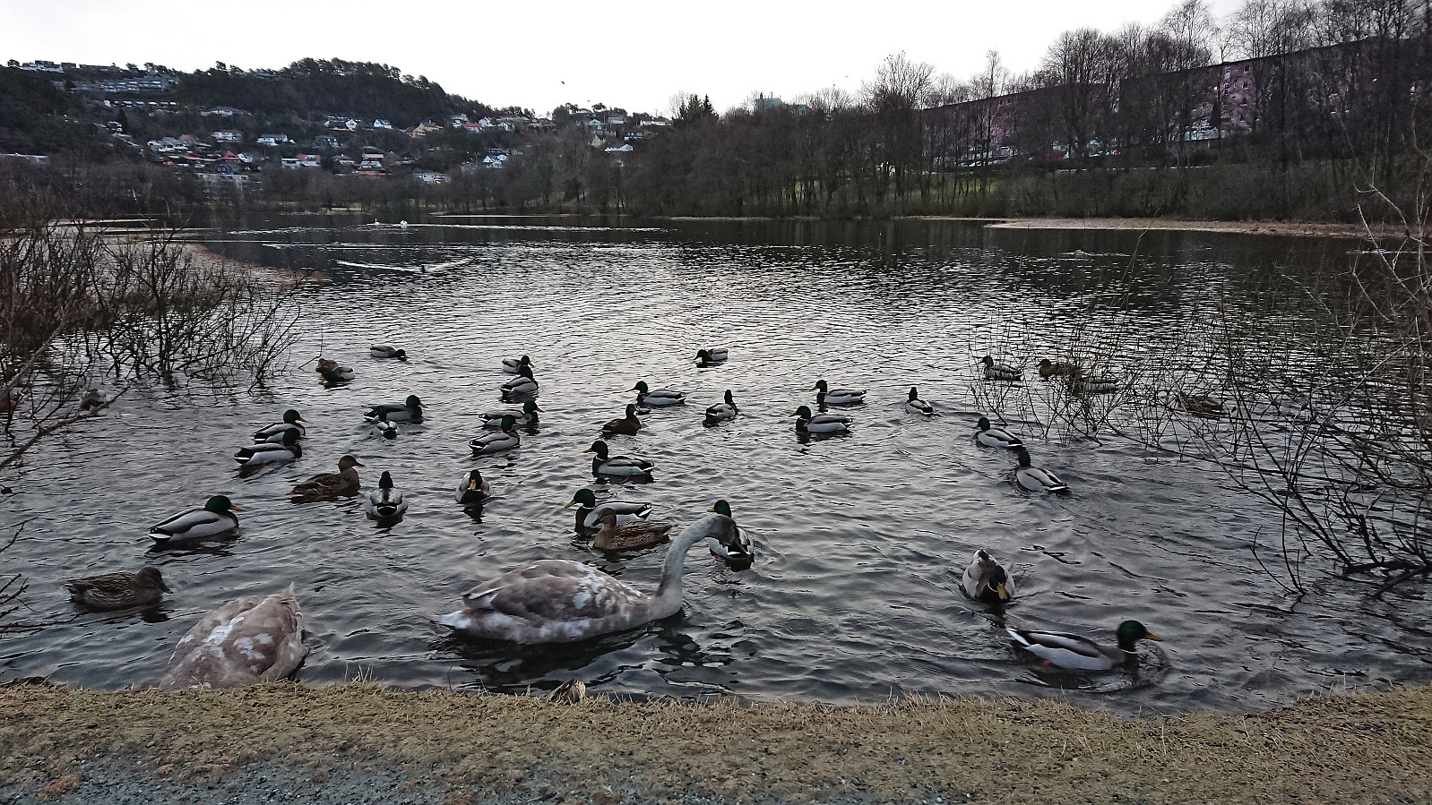 When the final day of 2022 turned out to be a rather gray one, I opted for a short hike to visit yet another small hill recently added to the Alle topper i Bergen list, namely Skulehaugen . Skulehaugen was easily accessible from southeast without getting too close to the nearest house just to the north of the summit. Afterwards, the hike was concluded by a walk around Orrtuvatnet before returning to Fyllingsdalen terminal.
Across Hellen festning
- Datum:
- 28.12.2022
- Tourcharakter:
- Wanderung
- Tourlänge:
- 0:39h
- Entfernung:
- 3,2km
 Short local hike.
Fjellveien and Sandviksbatteriet
- Datum:
- 26.12.2022
- Tourcharakter:
- Wanderung
- Tourlänge:
- 2:47h
- Entfernung:
- 12,2km
 Local hike managing to avoid most of the rain.
Hellemyrstien and Håmanen
- Datum:
- 25.12.2022
- Tourcharakter:
- Bergtour
- Tourlänge:
- 1:19h
- Entfernung:
- 5,4km
 Short local hike on a wet and cold Christmas Day.
Hellemyrstien, Rognåsen and Ørneberget
- Datum:
- 24.12.2022
- Tourcharakter:
- Bergtour
- Tourlänge:
- 1:26h
- Entfernung:
- 5,8km
 Short local hike in nice cold weather.
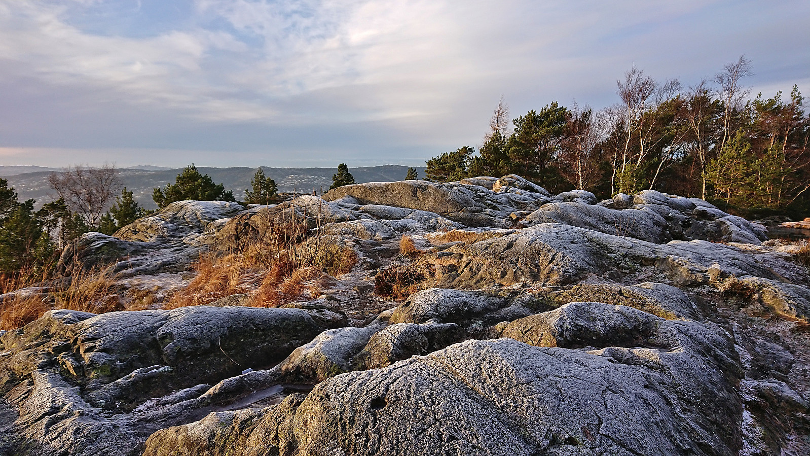
Hopsfjellet and Staupefjellet
- Datum:
- 23.12.2022
- Tourcharakter:
- Bergtour
- Tourlänge:
- 2:02h
- Entfernung:
- 5,5km
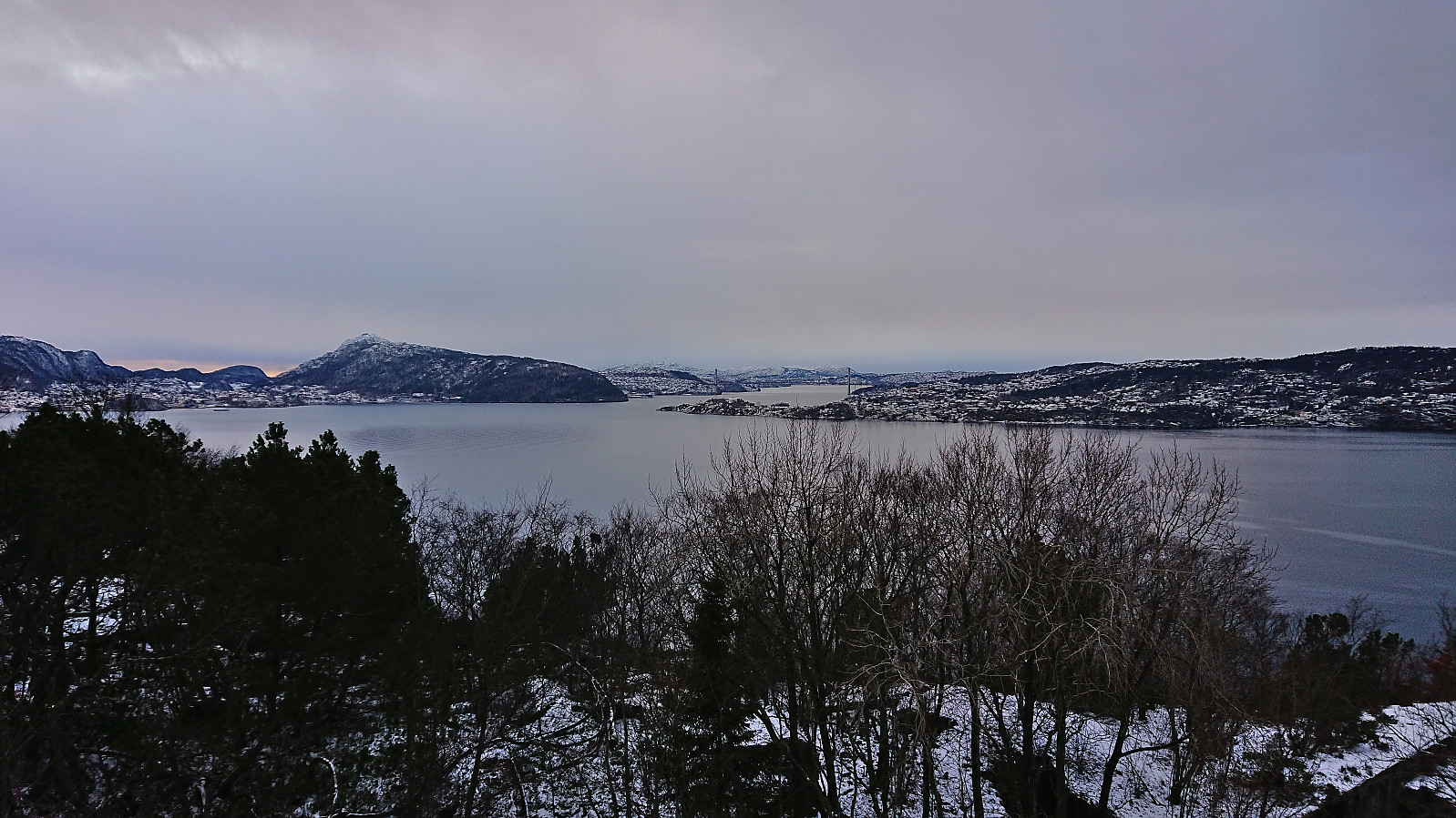
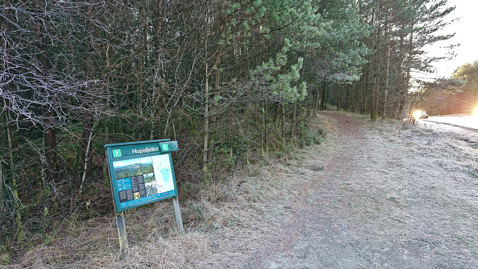 The first day of my extended Christmas holiday was spent travelling to Sveio to ascend Hopsfjellet and Staupefjellet . This included first taking the express bus (and ferry) to Heiane. Here I left the express bus and after waiting around 20 minutes continued south on a local bus. This allowed me to get off at a stop closer to the trailhead and thus greatly reduce the walking distance along the main road (especially as there is no sidewalk).
Initially, I had planned to get off at the stop called Hope, but at the last minute figured out that Flåtene would be even closer. The result was a less than 250 meters walk along the main road before reaching the marked trailhead and the small parking lot . As expected, there was no sidewalk, but thankfully there was plenty of space next to the road and for the final half there was even a railing >>>
The first day of my extended Christmas holiday was spent travelling to Sveio to ascend Hopsfjellet and Staupefjellet . This included first taking the express bus (and ferry) to Heiane. Here I left the express bus and after waiting around 20 minutes continued south on a local bus. This allowed me to get off at a stop closer to the trailhead and thus greatly reduce the walking distance along the main road (especially as there is no sidewalk).
Initially, I had planned to get off at the stop called Hope, but at the last minute figured out that Flåtene would be even closer. The result was a less than 250 meters walk along the main road before reaching the marked trailhead and the small parking lot . As expected, there was no sidewalk, but thankfully there was plenty of space next to the road and for the final half there was even a railing >>>
Skiing: Fløyen and Rundemanen
- Datum:
- 18.12.2022
- Tourcharakter:
- Langlauf
- Tourlänge:
- 3:49h
- Entfernung:
- 17,1km
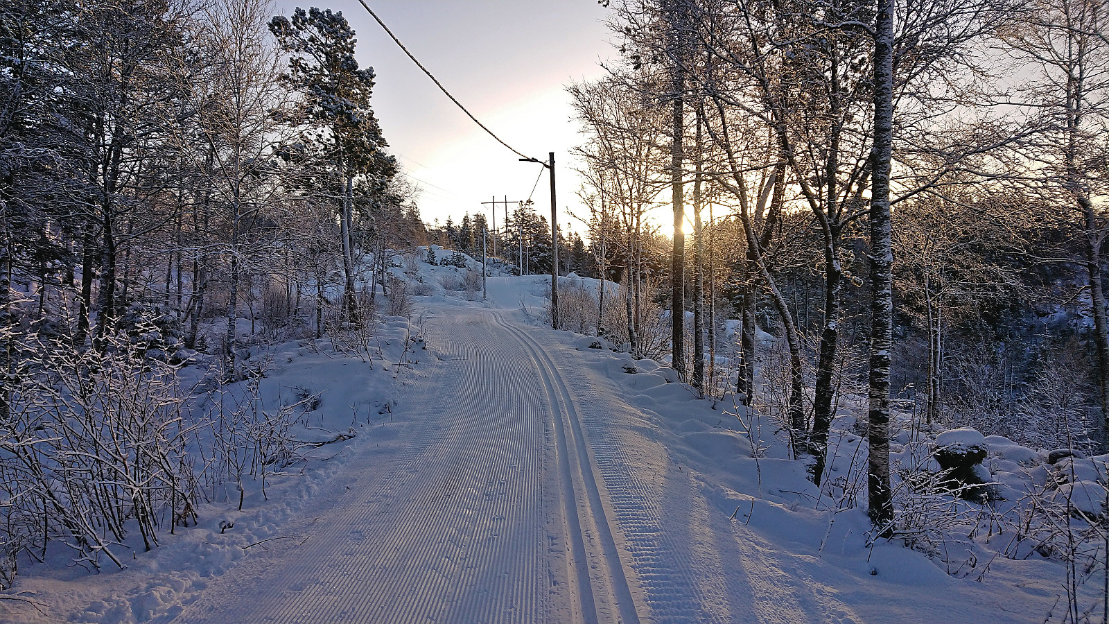 A second skiing trip at Fløyen, but this time taking Fløibanen and also including a visit of Rundemanen . Overall very good conditions for skiing and more new snow than expected. The skis stayed on until the top of Øyjorden, except for most of Hellemyrstien. However there was more ice than snow, and sometimes not a lot of that either, for the final stretch from Vannverkshuset i Skiveien to Munkebotsvatnet and from there to the start of Hellemyrstien.
Across Hellen festning
- Datum:
- 17.12.2022
- Tourcharakter:
- Wanderung
- Tourlänge:
- 0:39h
- Entfernung:
- 3,2km
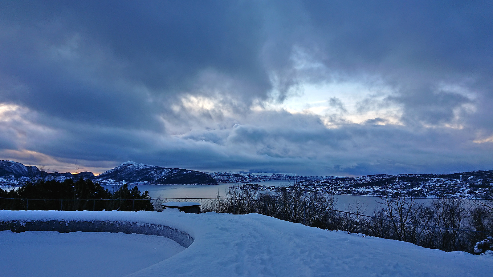 Short local Saturday hike.
Skiing at Fløyen in December!
- Datum:
- 16.12.2022
- Tourcharakter:
- Langlauf
- Tourlänge:
- 3:23h
- Entfernung:
- 14,8km
 Skiing at Fløyen in December is quite uncommon as there is usually not enough snow in Bergen at this time of the year (I had not recorded any such trips myself for the last six years). Given that the snow would most likely soon disappear, maybe already during the weekend, I decided to have a go after work on a Friday. The plan was to take Fløibanen from the city center, but I missed it by less than one minute and the next one was not until half an hour later. The trip therefore instead started by walking up to Fløyen with the skis coming on just below Skomakerdiket. Pretty good conditions for skiing overall and I more or less had the tracks to myself. Thanks to the recent new snow, some of it during the trip itself, I could even keep the skis on all the way to the top of Øyjorden.
Ørneberget and Furukammen
- Datum:
- 13.12.2022
- Tourcharakter:
- Bergtour
- Tourlänge:
- 1:06h
- Entfernung:
- 4,0km
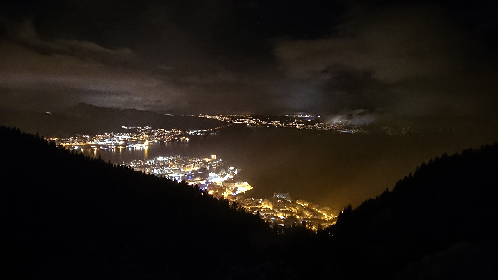
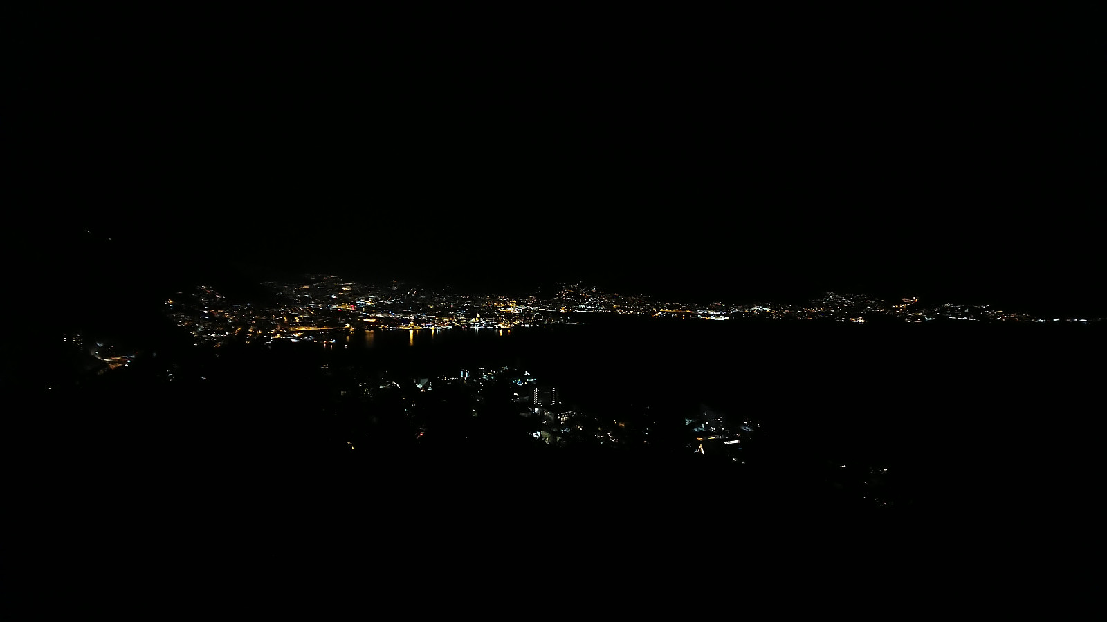 Short local evening hike in the snow. More tricky than usual given that the batteries of my headlamp died when I was 250 meters from the summit...
