Archive - Date
Archive - Activity
-
Bike trip (108)
- Bike trip - mixed (25)
- Bike trip - road (83)
-
Drive (9)
- Car drive (9)
-
Other trip (3)
- Kayaking (3)
-
Ski trip (113)
- Backcountry skiing (67)
- Cross-country skiing (46)
- Trip by foot (1844)
Collected lists
-
Utvalgte topper og turmål i Bergen
(343/344)
 99%
99% -
Alle topper i Bergen
(390/397)
98%
-
Voss ≥ 100m pf.
(96/98)
97%
-
Opptur Hordaland
(144/159)
90%
-
Stasjoner på Bergensbanen
(31/40)
77%
-
Ulvik ≥ 100m pf.
(28/38)
73%
-
Hordaland ≥ 100m pf.
(617/863)
71%
-
Mjølfjell PF > 100m
(21/31)
67%
-
Jondal ≥ 100m pf.
(15/23)
65%
-
Sunnhordland PF >= 100m
(105/186)
56%
-
Dagsturhyttene i Vestland
(33/61)
54%
-
Hordaland: Hardanger PF>=100m
(189/359)
52%
-
DNT-hytter i Hordaland
(23/45)
51%
-
Kvinnherad ≥ 100m pf.
(40/79)
50%
-
Sogndal ≥ 100m pf.
(23/81)
28%
-
Eidfjord ≥ 100m pf.
(10/42)
23%
-
Vik i Sogn ≥ 100m pf.
(10/46)
21%
-
Gulen ≥ 100m pf.
(10/54)
18%
-
DNT-hytter i Sogn og Fjordane
(8/47)
17%
-
Sogn - Sør for Sognefjorden PF>=100m
(26/159)
16%

Skiing: Steinskvanndalen
- Date:
- 13.03.2020
- Characteristic:
- Cross-country skiing
- Duration:
- 3:49h
- Distance:
- 16.3km
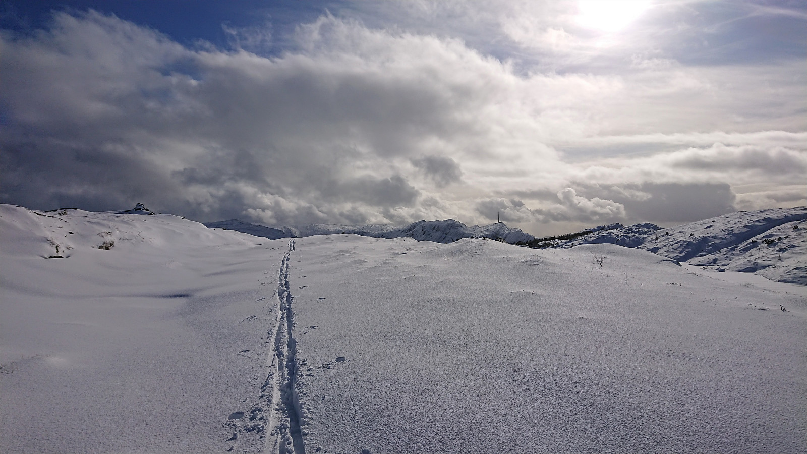
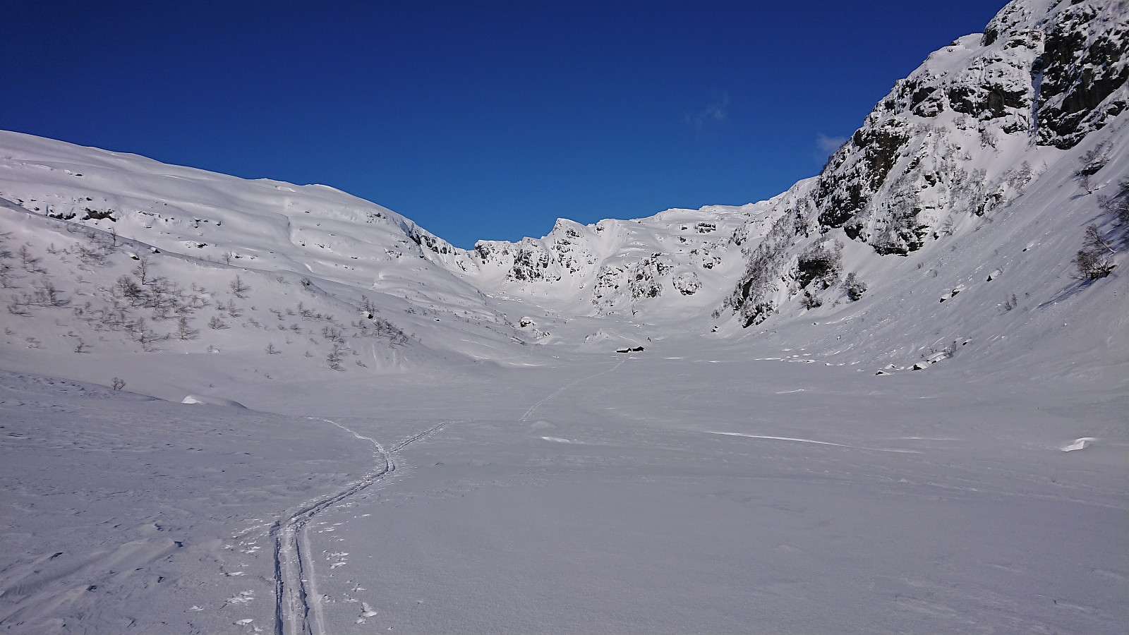 With all meetings suddenly cancelled due to the Coronavirus, I decided to instead make use of the perfect weather for a skiing trip in Steinskvanndalen, an area I had previously only visited in the summer. We parked at Løkjentunet, paid the 100 kr fee via Vipps, and from there walked a short stretch along the main road to Kvernavollen. After some initial struggles, we finally connected with the marked ski trail to Steinskvanndalen and could enjoy freshly laid ski tracks.
We continued north to Øvre Kvanndalsvatnet (the last stretch without any tracks), before turning back and reconnecting with the marked ski trail, which we then followed for a roundtrip, finally taking us back to the main road. Again, we struggled to find the best route towards the main road, first making a detour in the wrong >>>
With all meetings suddenly cancelled due to the Coronavirus, I decided to instead make use of the perfect weather for a skiing trip in Steinskvanndalen, an area I had previously only visited in the summer. We parked at Løkjentunet, paid the 100 kr fee via Vipps, and from there walked a short stretch along the main road to Kvernavollen. After some initial struggles, we finally connected with the marked ski trail to Steinskvanndalen and could enjoy freshly laid ski tracks.
We continued north to Øvre Kvanndalsvatnet (the last stretch without any tracks), before turning back and reconnecting with the marked ski trail, which we then followed for a roundtrip, finally taking us back to the main road. Again, we struggled to find the best route towards the main road, first making a detour in the wrong >>>
Hellen festning and Furukammen
- Date:
- 11.03.2020
- Characteristic:
- Hike
- Duration:
- 0:43h
- Distance:
- 3.7km
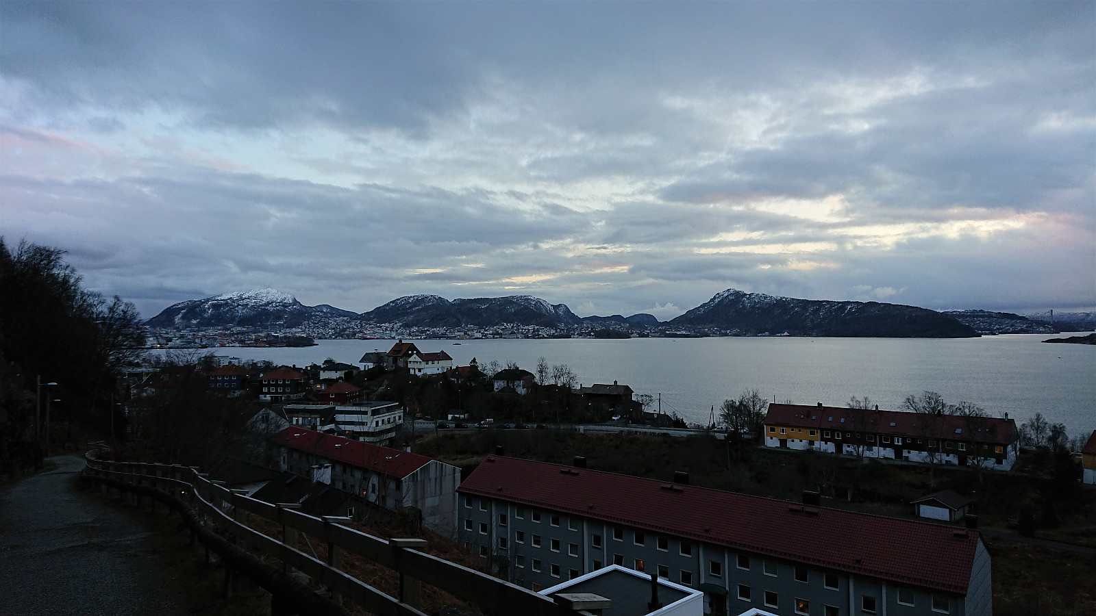
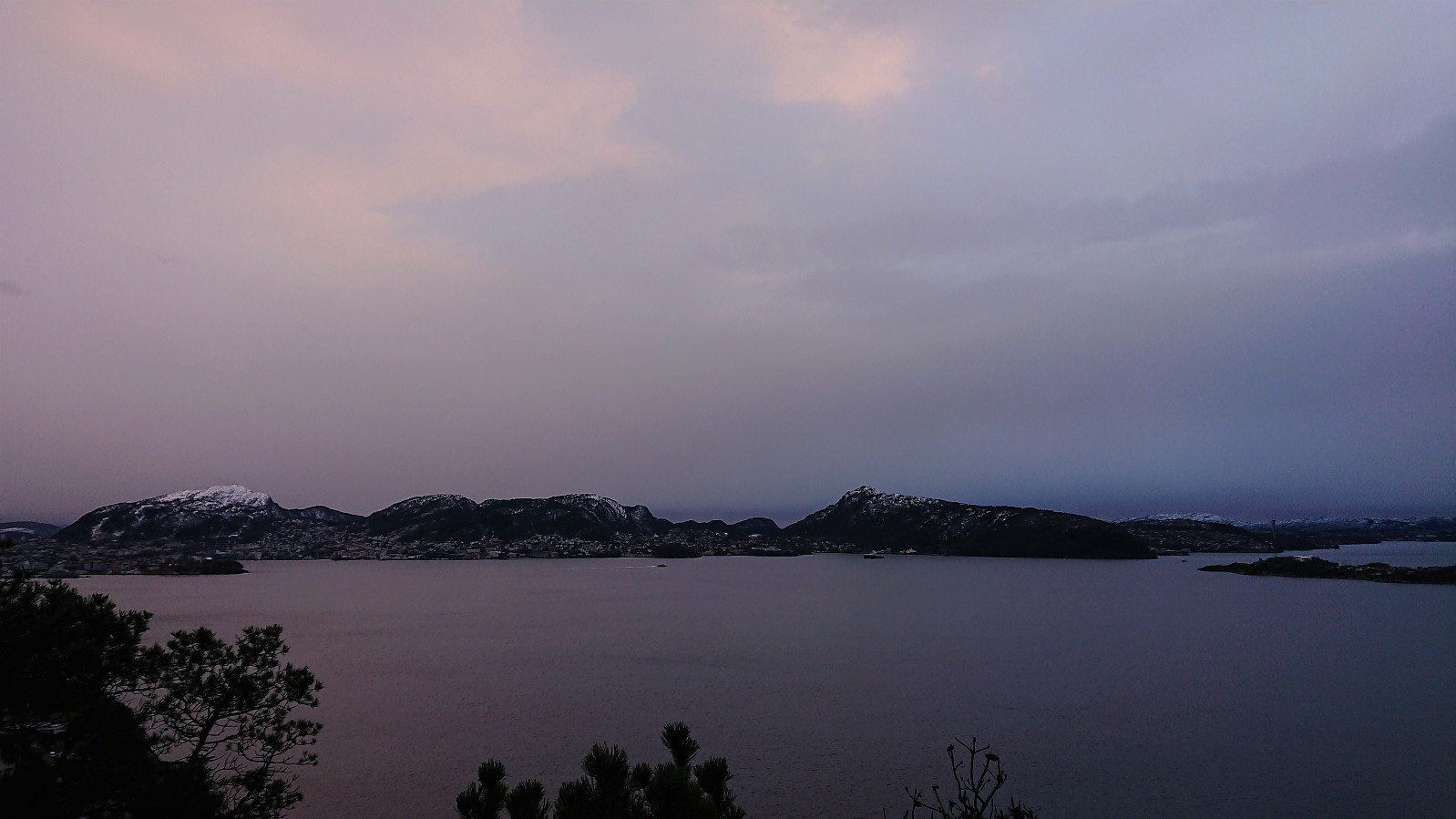
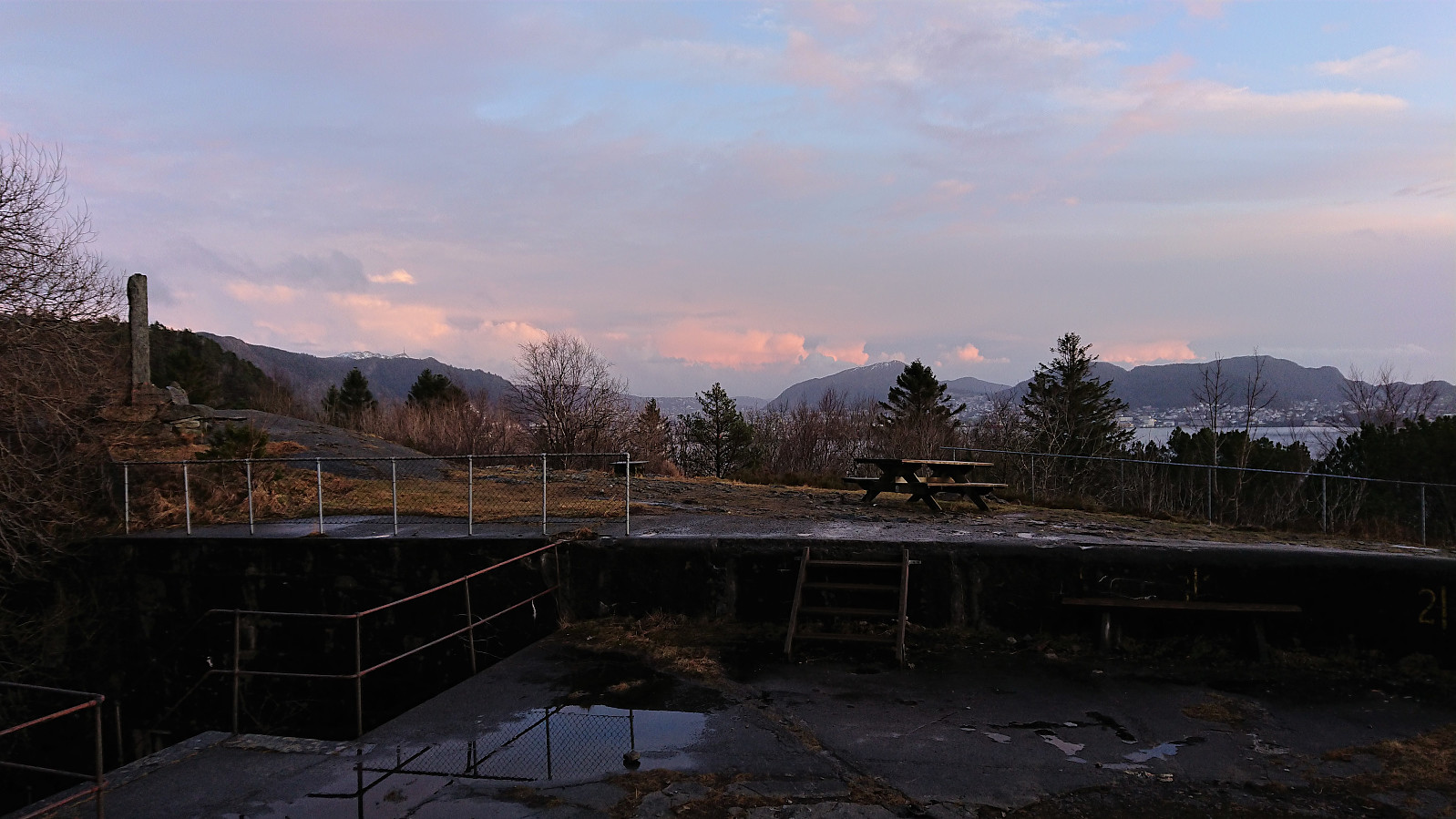 Short local hike after work. Missing the sunset at Hellen festning by less than five minutes.
Litla Gullberg from Leirvik
- Date:
- 08.03.2020
- Characteristic:
- Hillwalk
- Duration:
- 0:42h
- Distance:
- 3.3km
 Managed to squeeze in a short hike in between breakfast and checking out of the hotel. I followed various roads from the center of Leirvik to the marked trailhead for Litla Gullberg . The trail was initially very wet. Only around 200-250 meters from the gravel road to the summit though, and the quality soon improved. The summit provided excellent views southeast, but today rather limited due to the low-hanging clouds. Combined with strong winds, and a hotel check-out deadline to make, I did not stay long before returning along the same route back to Leirvik.
Dyviksåta and Utslettefjellet
- Date:
- 07.03.2020
- Characteristic:
- Hillwalk
- Duration:
- 2:28h
- Distance:
- 10.0km
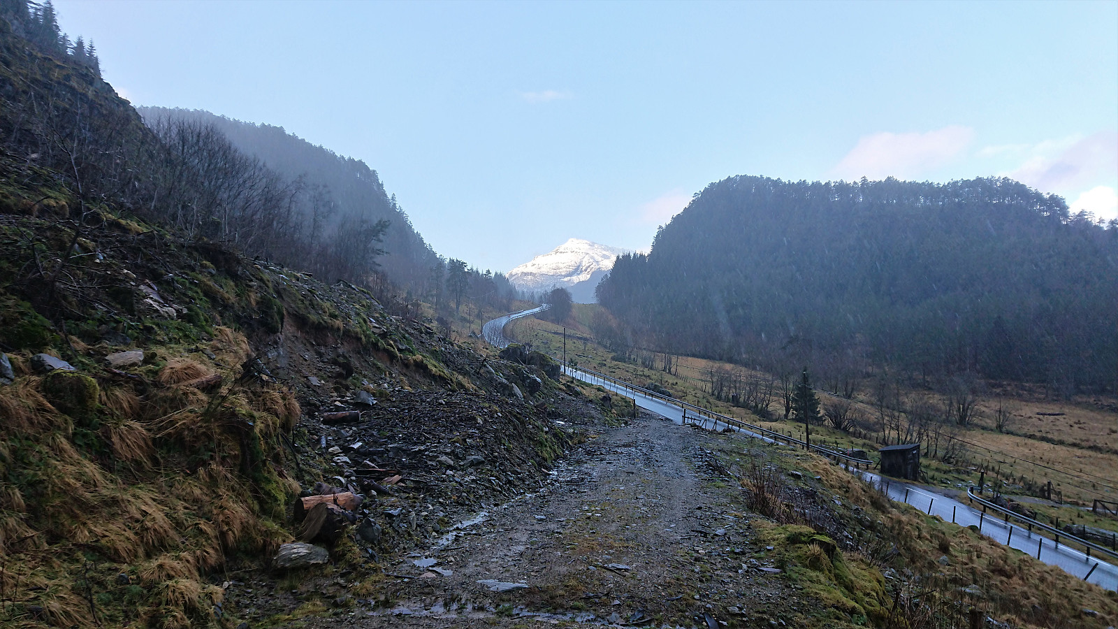
 When spending the weekend at Stord for a birthday party, I of course managed to find time for a short hike before the evening's celebrations were to commence. The poor weather resulted in nobody else wanting to join though. Securing a lift was significantly easier, and I was soon dropped off at the marked trailhead for Dyviksåta .
From there, the marked trail could easily be followed all the way to the summit, which today provided relatively limited views due to the low-hanging clouds. There was a visitor register, but it was soaked and therefore I did not attempt to sign my name. Given the increasing amounts of rain and the strong winds, I did not stay long before returning along the same trail.
Upon reaching the road, I followed it south for about 800 meters to the unmarked gravel road indicating the >>>
When spending the weekend at Stord for a birthday party, I of course managed to find time for a short hike before the evening's celebrations were to commence. The poor weather resulted in nobody else wanting to join though. Securing a lift was significantly easier, and I was soon dropped off at the marked trailhead for Dyviksåta .
From there, the marked trail could easily be followed all the way to the summit, which today provided relatively limited views due to the low-hanging clouds. There was a visitor register, but it was soaked and therefore I did not attempt to sign my name. Given the increasing amounts of rain and the strong winds, I did not stay long before returning along the same trail.
Upon reaching the road, I followed it south for about 800 meters to the unmarked gravel road indicating the >>>
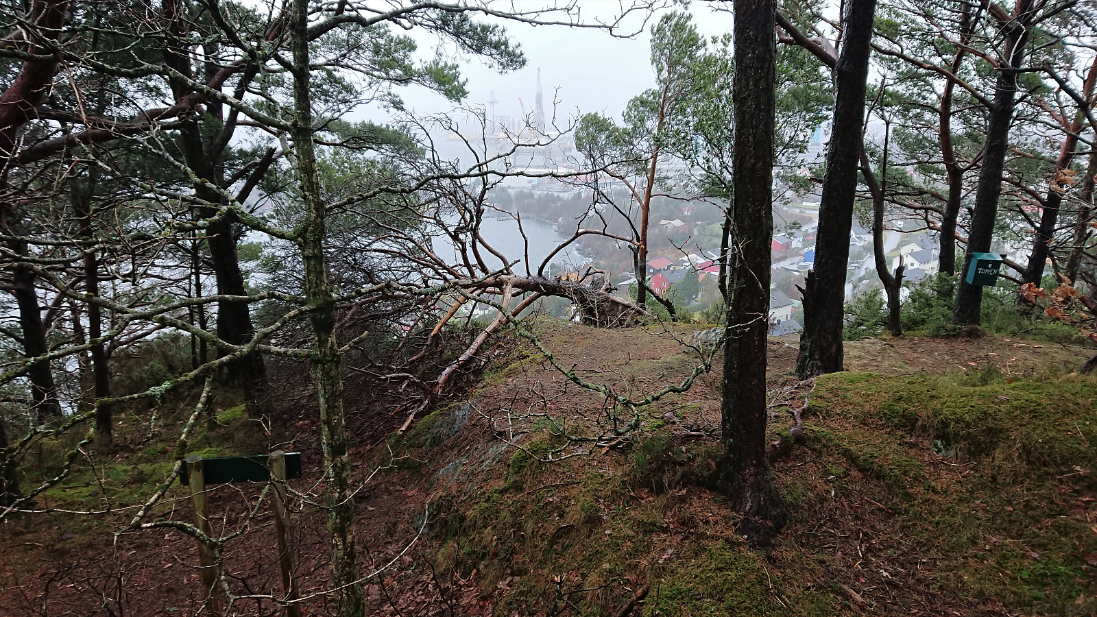
Across Hellen festning
- Date:
- 04.03.2020
- Characteristic:
- Hike
- Duration:
- 0:42h
- Distance:
- 3.6km
 Short local hike across Hellen festning.
Hellen festning
- Date:
- 03.03.2020
- Characteristic:
- Hike
- Duration:
- 0:49h
- Distance:
- 2.9km
 Short local hike to Hellefjellet and Hellen festning.
Sandviksbatteriet and Ørneberget
- Date:
- 01.03.2020
- Characteristic:
- Hillwalk
- Duration:
- 1:17h
- Distance:
- 5.4km
 Short local hike in light rain.
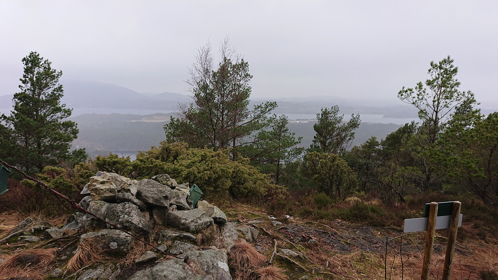
Hellefjellet, Ørneberget NV and Fagerdalsfjellet
- Date:
- 29.02.2020
- Characteristic:
- Hillwalk
- Duration:
- 1:22h
- Distance:
- 5.2km
 Part two of exploring paths to/from the viewpoint above Fagerdalsskaret. This time trying a trail that provided a connection to Fagerdalsfjellet .
Fløyen and Rundemanen
- Date:
- 28.02.2020
- Characteristic:
- Cross-country skiing
- Duration:
- 4:40h
- Distance:
- 19.9km
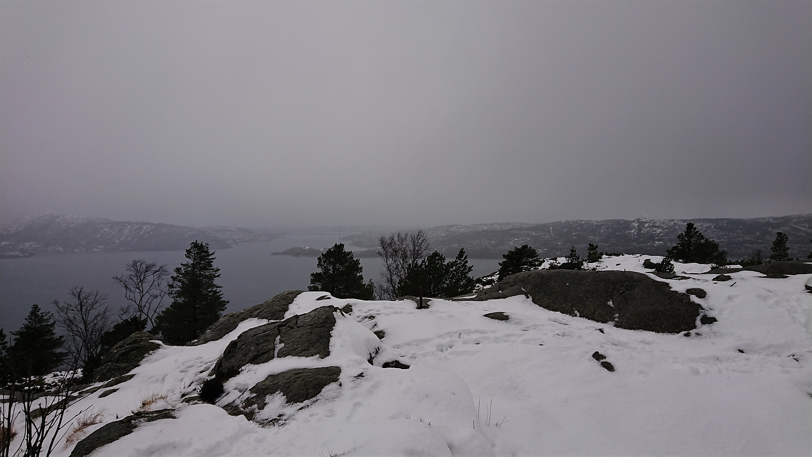
 Given the excellent winter weather, which potentially would only last for one day, I decided to take the day off and go skiing at Fløyen. More snow than expected, and I could keep the skis on all the way to the top of Øyjorden (although for the stretch along Langevatnet there were some sections with almost no snow).
The GPS decided to take a break in between Storediket and Munkebotsvatnet, i.e. I did not take the "shortcut" indicated on the map. :)
Given the excellent winter weather, which potentially would only last for one day, I decided to take the day off and go skiing at Fløyen. More snow than expected, and I could keep the skis on all the way to the top of Øyjorden (although for the stretch along Langevatnet there were some sections with almost no snow).
The GPS decided to take a break in between Storediket and Munkebotsvatnet, i.e. I did not take the "shortcut" indicated on the map. :)
Hovden, Storåsen and Russåsen
- Date:
- 23.02.2020
- Characteristic:
- Hillwalk
- Duration:
- 4:29h
- Distance:
- 13.6km
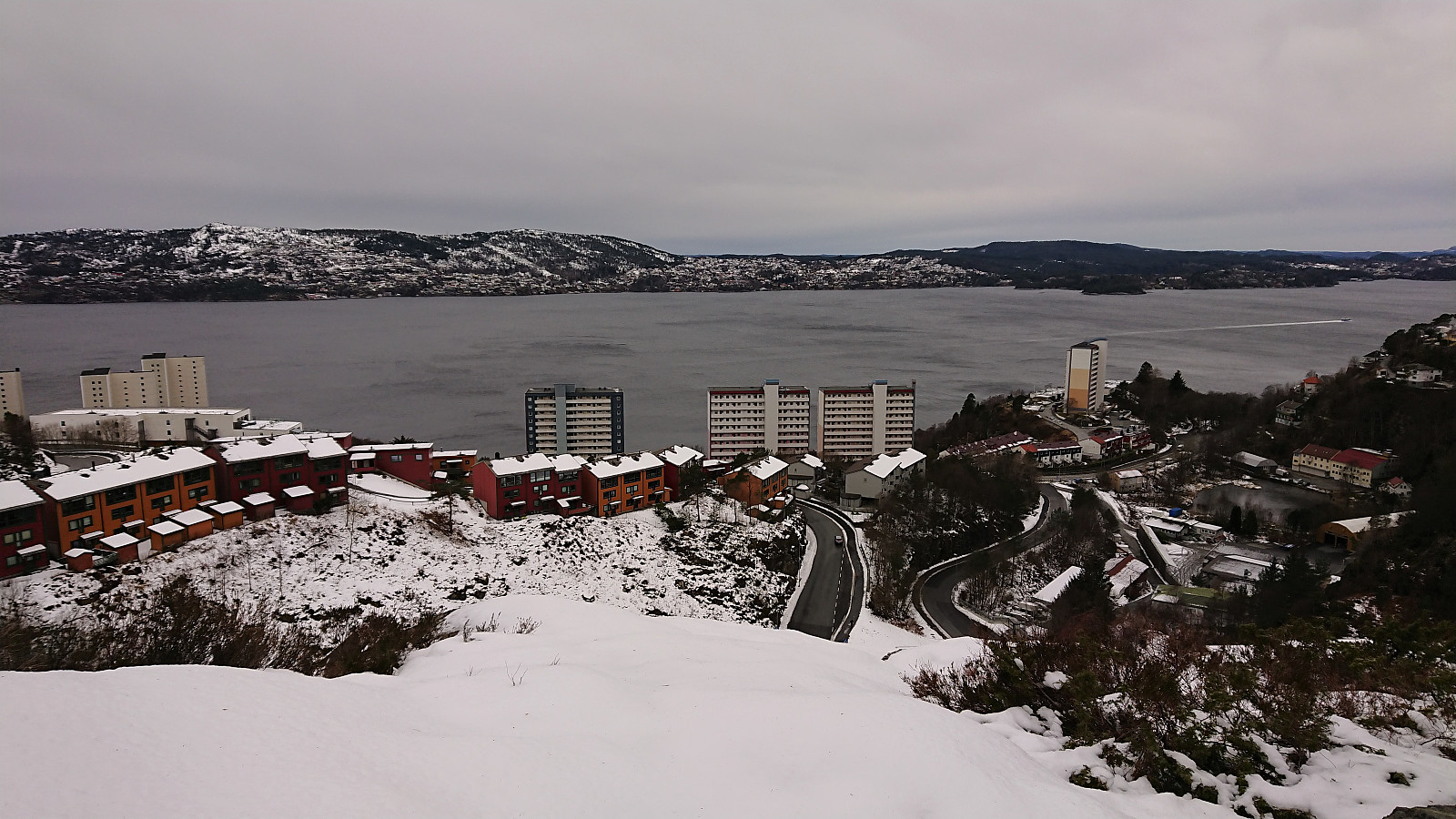
 Hovden
Started by taking the bus (and ferry) to Kilen (bus stop "Kilen kryss") and easily located the unmarked trailhead for Hovden after passing by the house with the address Hålandsvegen 1004. Shortly there were several trail options to choose from. I decided to follow what looked like the most used option, taking me east and then north, before finally turning west towards the summit.
Did not take long before I came across the very unusual trail markers, mainly consisting of various plastic road markers of different shapes and sizes, but also with other odd objects thrown in. It made for an interesting hike, but there are clearly better ways to mark trails.
The trail can most likely be followed all the way to the summit, but I lost it just as it started raining/snowing, and from there I >>>
Hovden
Started by taking the bus (and ferry) to Kilen (bus stop "Kilen kryss") and easily located the unmarked trailhead for Hovden after passing by the house with the address Hålandsvegen 1004. Shortly there were several trail options to choose from. I decided to follow what looked like the most used option, taking me east and then north, before finally turning west towards the summit.
Did not take long before I came across the very unusual trail markers, mainly consisting of various plastic road markers of different shapes and sizes, but also with other odd objects thrown in. It made for an interesting hike, but there are clearly better ways to mark trails.
The trail can most likely be followed all the way to the summit, but I lost it just as it started raining/snowing, and from there I >>>
