Archive - Date
Archive - Activity
-
Bike trip (111)
- Bike trip - mixed (25)
- Bike trip - road (86)
-
Drive (9)
- Car drive (9)
-
Other trip (3)
- Kayaking (3)
-
Ski trip (116)
- Backcountry skiing (69)
- Cross-country skiing (47)
- Trip by foot (1897)
Collected lists
-
Utvalgte topper og turmål i Bergen
(349/351)
 99%
99% -
Alle topper i Bergen
(393/400)
98%
-
Voss ≥ 100m pf.
(96/98)
97%
-
Opptur Hordaland
(144/159)
90%
-
Stasjoner på Bergensbanen
(33/40)
82%
-
Ulvik ≥ 100m pf.
(30/38)
78%
-
Hordaland ≥ 100m pf.
(624/863)
72%
-
Mjølfjell PF > 100m
(21/31)
67%
-
Jondal ≥ 100m pf.
(15/23)
65%
-
Dagsturhyttene i Vestland
(36/61)
59%
-
Sunnhordland PF >= 100m
(105/186)
56%
-
Hordaland: Hardanger PF>=100m
(196/359)
54%
-
DNT-hytter i Hordaland
(23/45)
51%
-
Kvinnherad ≥ 100m pf.
(40/79)
50%
-
Eidfjord ≥ 100m pf.
(13/42)
30%
-
Sogndal ≥ 100m pf.
(23/81)
28%
-
Gulen ≥ 100m pf.
(15/54)
27%
-
Vik i Sogn ≥ 100m pf.
(10/46)
21%
-
Sogn - Sør for Sognefjorden PF>=100m
(31/159)
19%
-
DNT-hytter i Sogn og Fjordane
(8/47)
17%

Across Hellen festning
- Date:
- 12.12.2025
- Characteristic:
- Hike
- Duration:
- 0:39h
- Distance:
- 3.2km
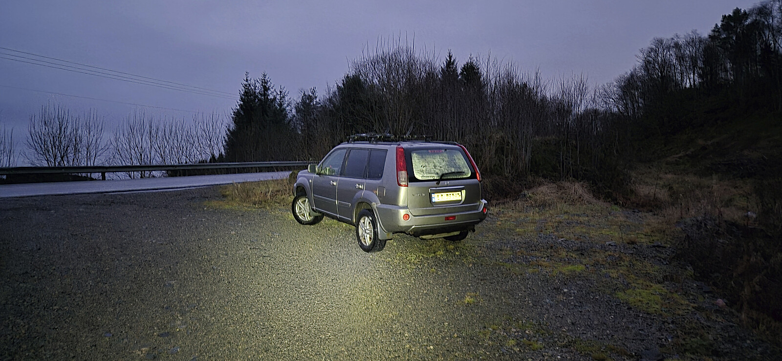
 Short local hike in light rain after work.
Langelihøgdi from Nedre Folkedal
- Date:
- 07.12.2025
- Characteristic:
- Hillwalk
- Duration:
- 3:57h
- Distance:
- 12.7km
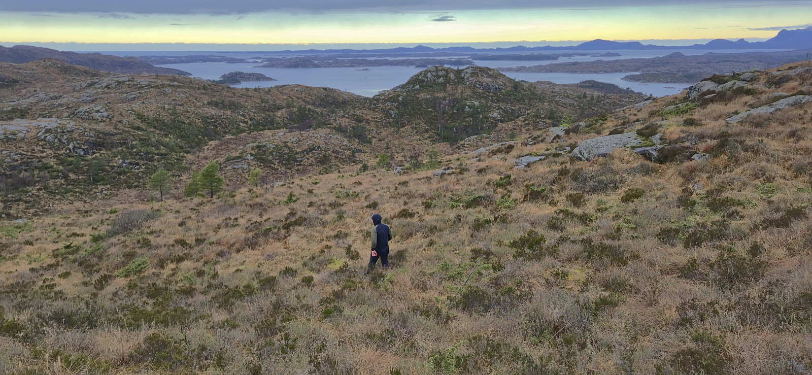
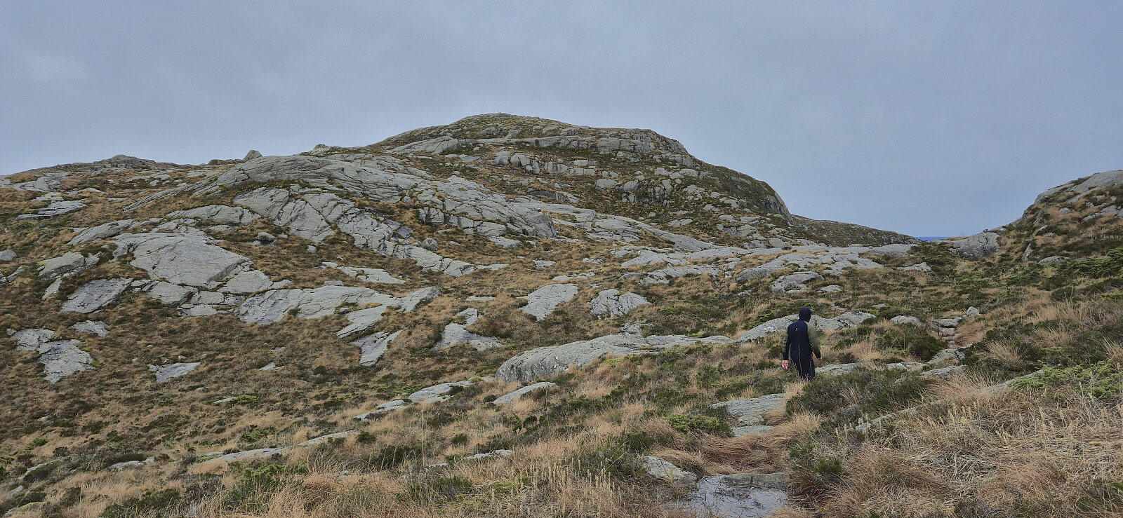
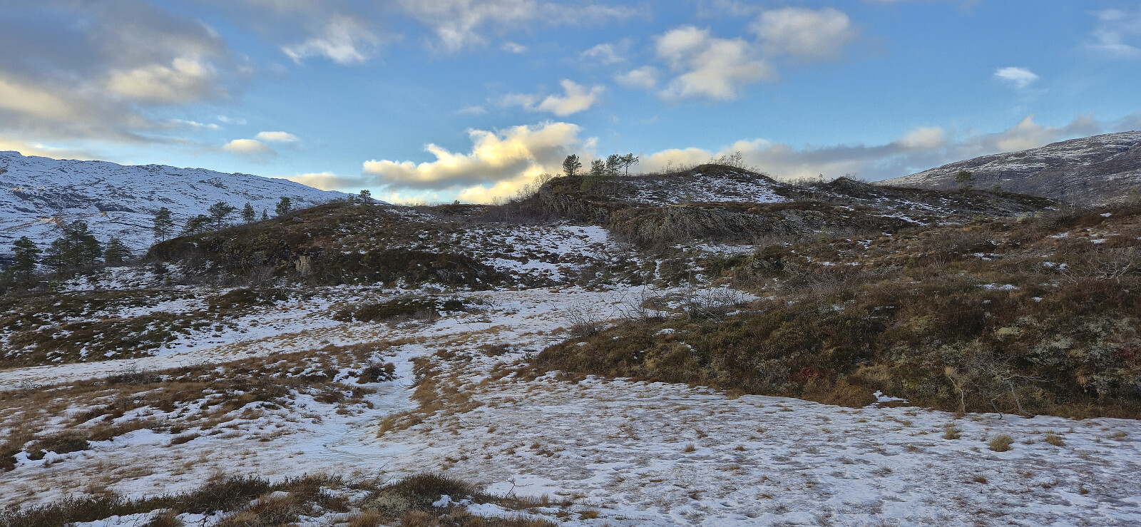 Sunday hike with the main objective of ascending Langelihøgdi , a minor summit on the Opptur Hordaland list . I started by taking the train to Voss and the bus to Folkedal, or more specifically Nedre Folkedal. Here I got off the bus and continued on foot along the paved road to Øvre Folkedal where a gravel-covered toll road led me up towards Helgastøl .
Just south of Helgastøl I left the now very icy gravel road and did my best to follow the partially hidden marked trail via Helgastøl until getting just east of Langelihøgdi. The summit could then easily be reached via a short off-trail detour.
After a short break to enjoy the excellent views to the surrounding higher peaks, I returned the same way to Helgastøl. Initially I had considered going via Kalvbakkehøgdi and Håli during the descent, but in the end I decided to not take any chances that could result in missing >>>
Sunday hike with the main objective of ascending Langelihøgdi , a minor summit on the Opptur Hordaland list . I started by taking the train to Voss and the bus to Folkedal, or more specifically Nedre Folkedal. Here I got off the bus and continued on foot along the paved road to Øvre Folkedal where a gravel-covered toll road led me up towards Helgastøl .
Just south of Helgastøl I left the now very icy gravel road and did my best to follow the partially hidden marked trail via Helgastøl until getting just east of Langelihøgdi. The summit could then easily be reached via a short off-trail detour.
After a short break to enjoy the excellent views to the surrounding higher peaks, I returned the same way to Helgastøl. Initially I had considered going via Kalvbakkehøgdi and Håli during the descent, but in the end I decided to not take any chances that could result in missing >>>
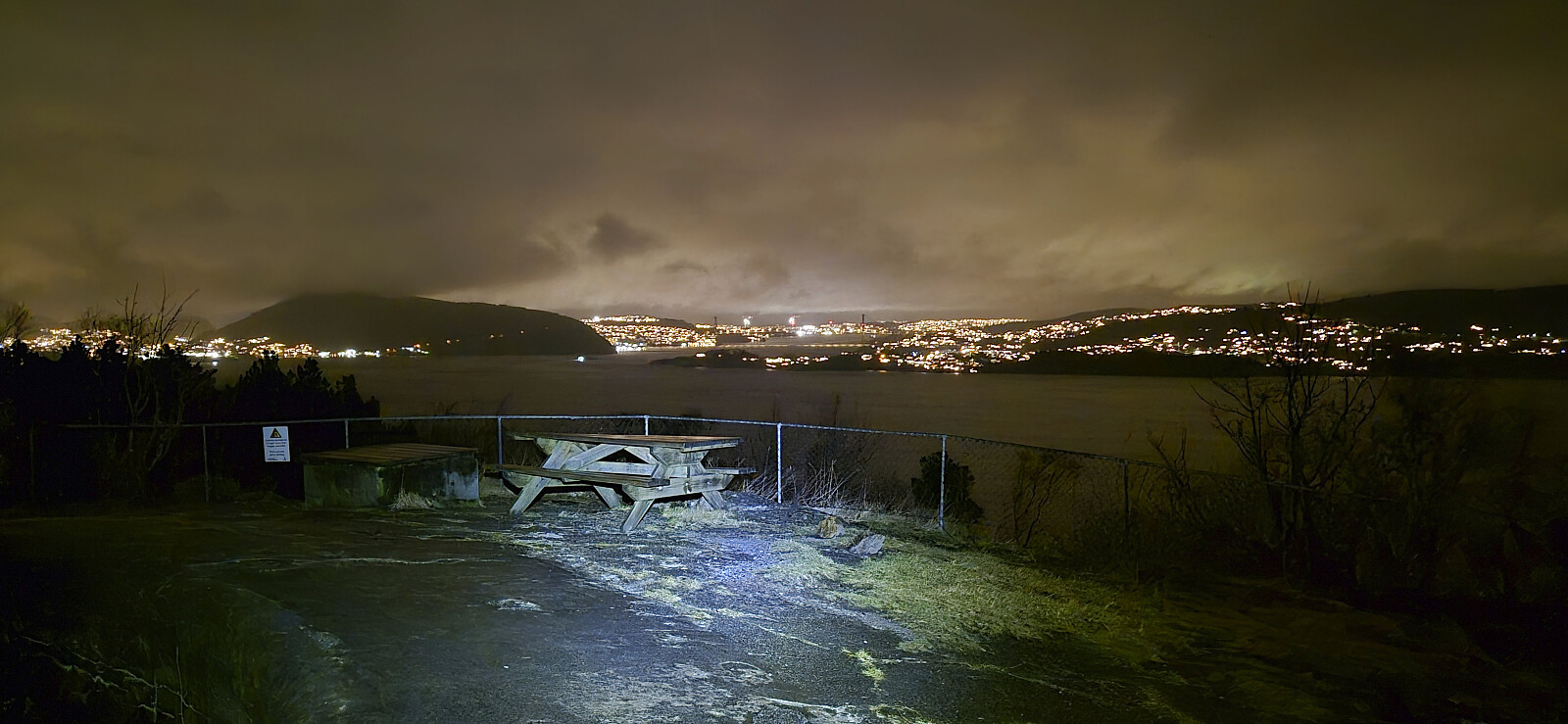
Ørneberget and Hellen festning
- Date:
- 06.12.2025
- Characteristic:
- Hillwalk
- Duration:
- 1:11h
- Distance:
- 4.6km
 Short local Saturday hike.
Across Hellen festning
- Date:
- 04.12.2025
- Characteristic:
- Hike
- Duration:
- 0:40h
- Distance:
- 3.2km
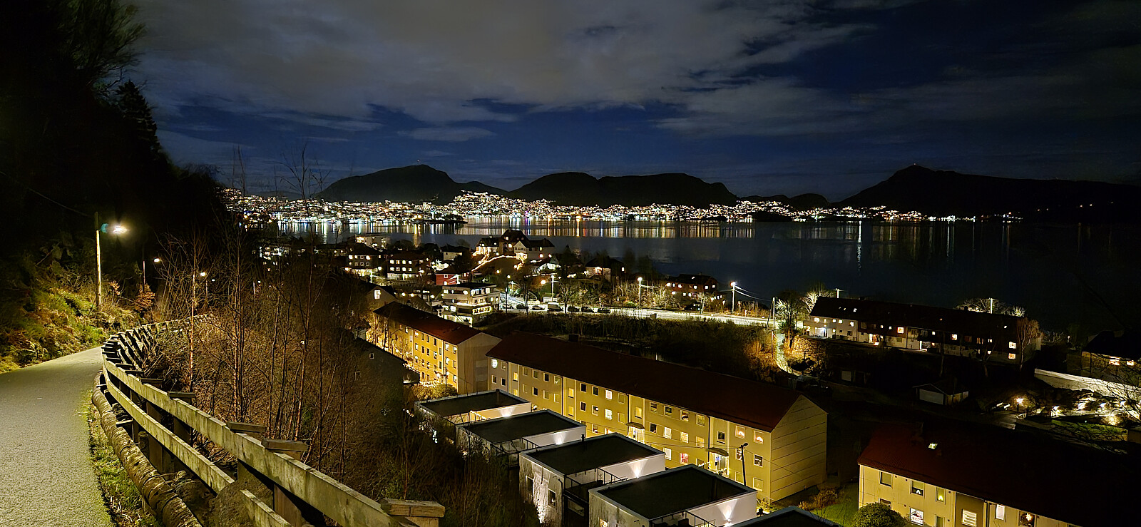 Short local evening hike.
Kistefjellet
- Date:
- 30.11.2025
- Characteristic:
- Hillwalk
- Duration:
- 0:34h
- Distance:
- 1.3km
 After completing the ascent of Orretuva , we drove the short distance south to southwest of Steine. Here we parked right next to the marked trailhead, where there was room for a couple of cars without blocking the small side road, turned in our headlamps and made our best attempt at following the marked trail to the summit of Kistefjellet .
Not the easiest trail to follow it the dark, but the reflective arm bands used to mark the trail made it slightly easier, at least when the distance between them was not too long. The highest point was in the end located without any real issues and we quickly returned the same way to the car in an attempt to catch the next ferry at Duesund.
We however arrived at Duesund just as the ferry left and had to return to Sløvågen to catch the ferry there instead, making it with maybe two minutes to spare. All >>>
After completing the ascent of Orretuva , we drove the short distance south to southwest of Steine. Here we parked right next to the marked trailhead, where there was room for a couple of cars without blocking the small side road, turned in our headlamps and made our best attempt at following the marked trail to the summit of Kistefjellet .
Not the easiest trail to follow it the dark, but the reflective arm bands used to mark the trail made it slightly easier, at least when the distance between them was not too long. The highest point was in the end located without any real issues and we quickly returned the same way to the car in an attempt to catch the next ferry at Duesund.
We however arrived at Duesund just as the ferry left and had to return to Sløvågen to catch the ferry there instead, making it with maybe two minutes to spare. All >>>
Orretuva from Fivesdal
- Date:
- 30.11.2025
- Characteristic:
- Hillwalk
- Duration:
- 1:06h
- Distance:
- 3.1km
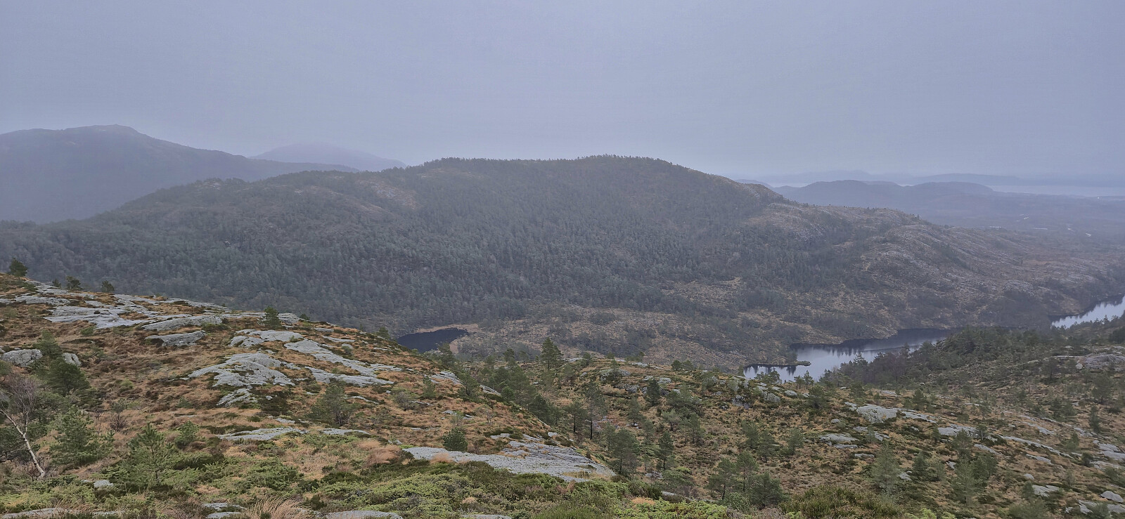
 While our ascent to Øksefjellet had been pretty easy due to the marked trail, we had failed to locate any trails to Orretuva . We therefore parked the car at a small parking lot near Fivelsdal, shortly walked east along the main road, and made our own way towards the summit. Initially it seemed as if we had been lucky and stumbled across a weak trail/track but it quickly disappeared, even though we would see traces of it during later parts of the ascent as well. Reaching the highest point was in the end still relatively straightforward.
As it was now getting dark, we did not stay long before returning more or less the same way back to the car. While the headlamps were not needed for the hike itself, we made sure to turn them on for the short walk along the paved road, as there were of course no sidewalk.
Back in the car, we drove >>>
While our ascent to Øksefjellet had been pretty easy due to the marked trail, we had failed to locate any trails to Orretuva . We therefore parked the car at a small parking lot near Fivelsdal, shortly walked east along the main road, and made our own way towards the summit. Initially it seemed as if we had been lucky and stumbled across a weak trail/track but it quickly disappeared, even though we would see traces of it during later parts of the ascent as well. Reaching the highest point was in the end still relatively straightforward.
As it was now getting dark, we did not stay long before returning more or less the same way back to the car. While the headlamps were not needed for the hike itself, we made sure to turn them on for the short walk along the paved road, as there were of course no sidewalk.
Back in the car, we drove >>>
Øksefjellet
- Date:
- 30.11.2025
- Characteristic:
- Hillwalk
- Duration:
- 0:45h
- Distance:
- 1.7km
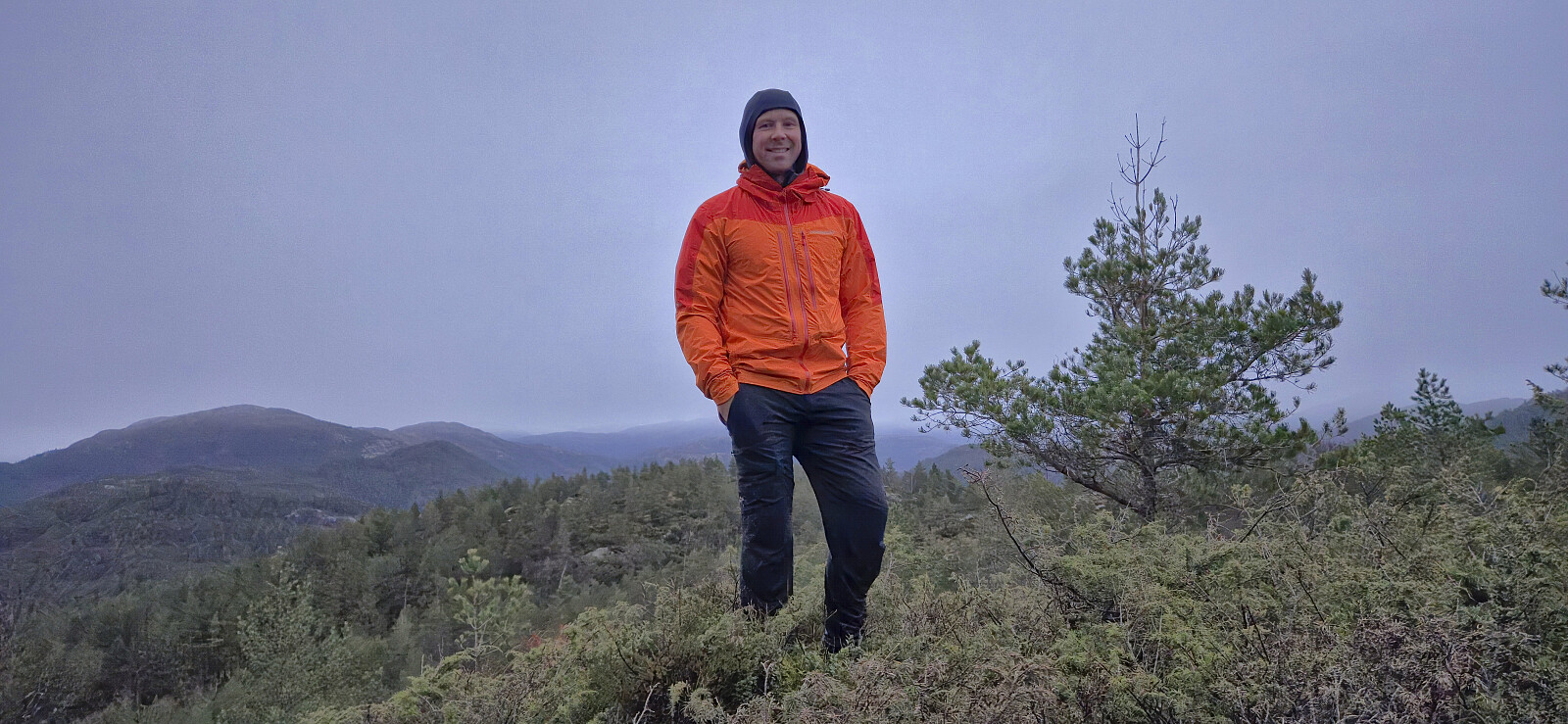
 After ascending Midtbøfjellet , we drove east where we easily located the marked trailhead for Øksefjellet . Finding a place to park required a bit more searching, but we managed to find a spot next to the road just north of the trailhead. The marked trail, although rather wet, could be followed with relative ease all the way to the summit cairn. With the rain now finally having caught up with us, we did not stay long before returning the same way and then continued south for the sixth ascent of the day, namely Orretuva .
Midtbøfjellet
- Date:
- 30.11.2025
- Characteristic:
- Hillwalk
- Duration:
- 0:31h
- Distance:
- 1.4km
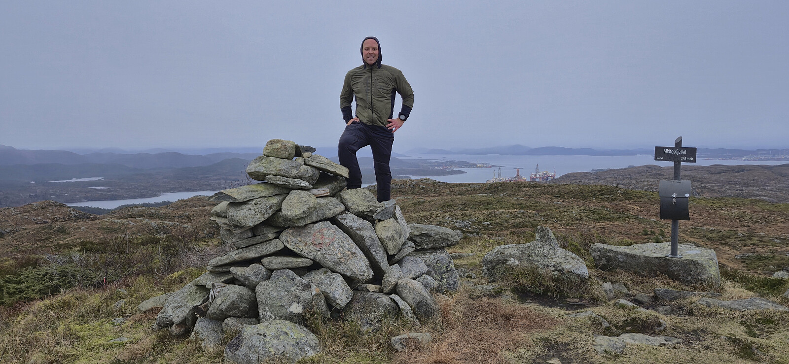 With three peaks in the bag, the last being Lifjellet , we drove south to the small parking lot west of Midtbøfjellet and quickly completed the short ascent along a marked trail to the summit before returning the same way. Note that the information sign at the parking lot said that the hike would take 1.5 hours, however it only took us around 30 minutes.
We then left Sandøyna and drove east to Brandangervegen to ascend Øksefjellet .
With three peaks in the bag, the last being Lifjellet , we drove south to the small parking lot west of Midtbøfjellet and quickly completed the short ascent along a marked trail to the summit before returning the same way. Note that the information sign at the parking lot said that the hike would take 1.5 hours, however it only took us around 30 minutes.
We then left Sandøyna and drove east to Brandangervegen to ascend Øksefjellet .
Lifjellet
- Date:
- 30.11.2025
- Characteristic:
- Hillwalk
- Duration:
- 0:42h
- Distance:
- 2.0km
 Having successfully ascended Piltevarden , we drove the short distance east to Vassvikdalen. Here we easily found parking next to the road due to a longer section where the road had recently been made wider. As we did not know of any trails to Lifjellet , we simply headed off-trail in the direction of the summit, and besides the first section being a bit cumbersome we later arrived at the summit without any real challenges. The exact location of the highest point was not obvious but it had to be in the area near the large cairn, hence we just visited all of the most likely candidates.
During our ascent we had noticed a couple of small cairns north of where we ascended and perhaps some faint traces of a trail, but as there was no real difference we ended up following the same route as used for the ascent. It should however be noted that >>>
Having successfully ascended Piltevarden , we drove the short distance east to Vassvikdalen. Here we easily found parking next to the road due to a longer section where the road had recently been made wider. As we did not know of any trails to Lifjellet , we simply headed off-trail in the direction of the summit, and besides the first section being a bit cumbersome we later arrived at the summit without any real challenges. The exact location of the highest point was not obvious but it had to be in the area near the large cairn, hence we just visited all of the most likely candidates.
During our ascent we had noticed a couple of small cairns north of where we ascended and perhaps some faint traces of a trail, but as there was no real difference we ended up following the same route as used for the ascent. It should however be noted that >>>
Piltevarden roundtrip
- Date:
- 30.11.2025
- Characteristic:
- Hillwalk
- Duration:
- 1:10h
- Distance:
- 4.3km
 After our ascent of Byrknesveten , we drove north to Mjømna where we found parking next to the Mjømna kyrkje to ascent Piltevarden . There was a sign saying that the parking lot was only for visitors of the church or the connected graveyard, but as we were not staying long and there were no other cars, we assumed it was still ok.
We had initially intended to follow the most direct route to the summit but ended up missing a fork in the marked trail early on and therefore decided to instead turn the hike into a short roundtrip. This would first take us north along the sea before later turning east and finally south to the summit, all the time along a marked trail.
From the summit we followed our intended ascent route taking us via a steep but unproblematic descent. We ended up losing the marked trail shortly after the steep descent >>>
After our ascent of Byrknesveten , we drove north to Mjømna where we found parking next to the Mjømna kyrkje to ascent Piltevarden . There was a sign saying that the parking lot was only for visitors of the church or the connected graveyard, but as we were not staying long and there were no other cars, we assumed it was still ok.
We had initially intended to follow the most direct route to the summit but ended up missing a fork in the marked trail early on and therefore decided to instead turn the hike into a short roundtrip. This would first take us north along the sea before later turning east and finally south to the summit, all the time along a marked trail.
From the summit we followed our intended ascent route taking us via a steep but unproblematic descent. We ended up losing the marked trail shortly after the steep descent >>>
