Archive - Date
Archive - Activity
-
Other winter trip (2)
- Snowshoe trip (2)
- Trip by foot (147)

Collected lists
-
Tromsø ≥ 100m pf.
(28/211)
 13%
13% -
Troms ≥ 1000m pf.
(3/36)
8%
-
Munros
(6/283)
2%

Trevardetoppen
- Date:
- 28.07.2020
- Characteristic:
- Hike
- Duration:
- 0:51h
- Distance:
- 2.0km
 Ti på Topp 2020.
Snarbyeidet til Tromsdalen
- Date:
- 16.07.2019
- Characteristic:
- Hike
- Duration:
- 18:10h
- Distance:
- 34.0km
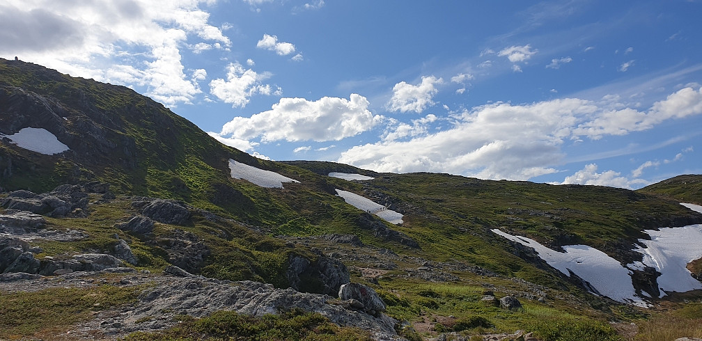
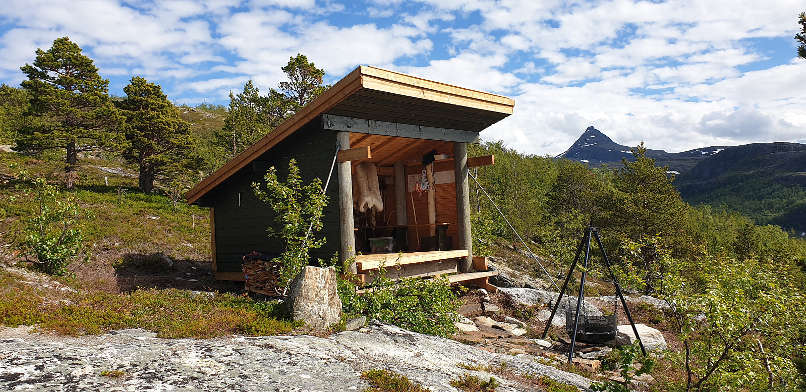
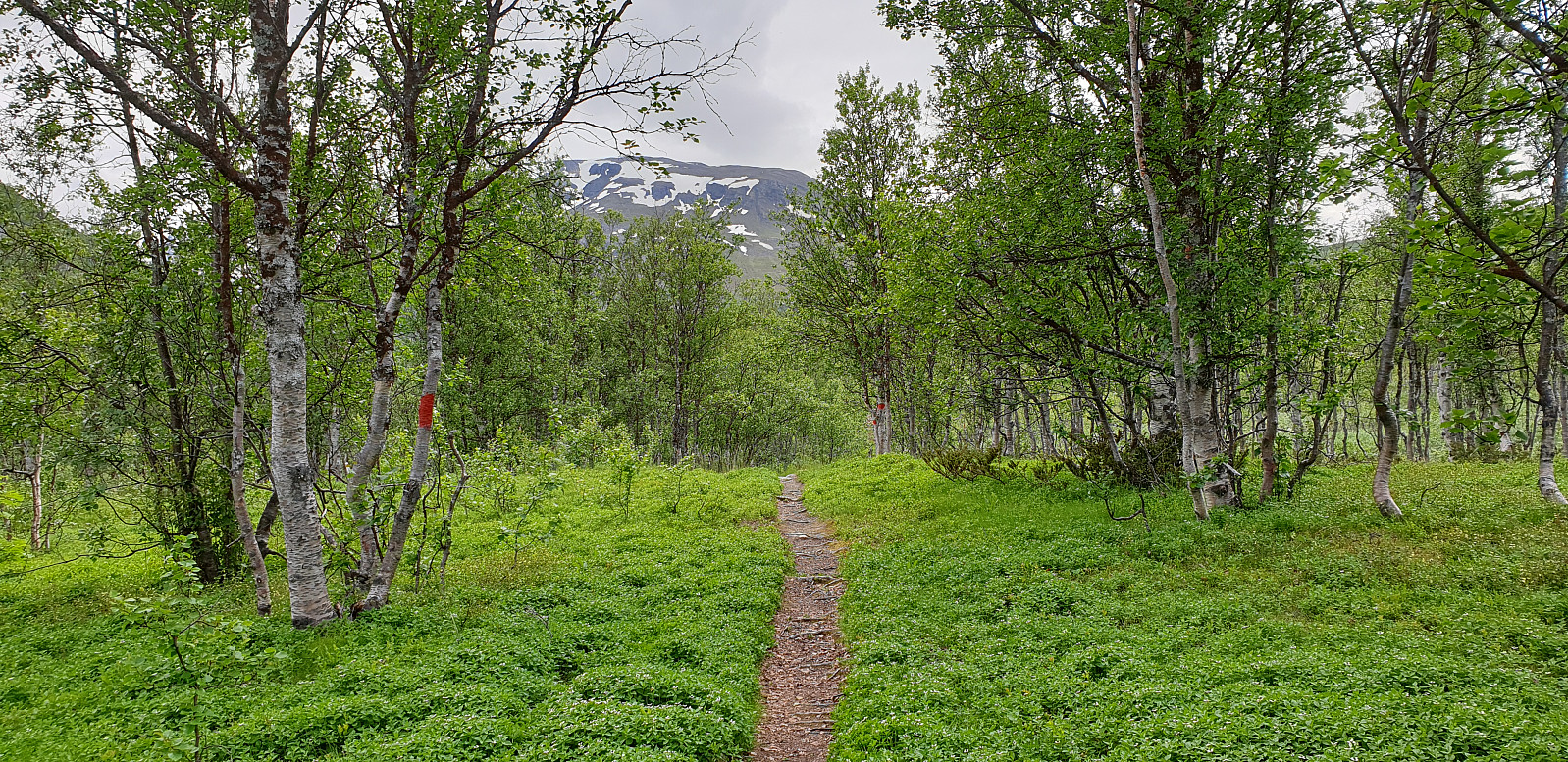 Dag 1: Snarbyeidet - Trollvassbu - Nonsbu
Misset bussen mot Oldervika, så vi haiket med tre forskjellige biler frem til parkeringsplassen ved Snarbyeidet. Fulget stien till Trollvassbu, der vi lagde litt mat før vi fortsatte mot Nonsbu. Så en flokk med opp mot 200 reinsdyr atme stien. Elvene rett ved Nonsbu hadde høgt vannstand og var litt besværlige å krysse, men vi kom frem til hytta rimelig tørre.
Dag 2: Nonsbu - Blåkollkoia - Skarvassbu
Fortsatte turen mot Blåkollkoia delvis på sti og delvis gjennom myrmark. Lagde mat i Blåkollkoia før vi fortsatte mot Skarvassbu. Flere vadesteder å krysse. Vi hadde bare ett par gummistøvler med som vi fikk bruke en i slenge for så å kaste dem over elva til neste person. Framme ved Skarvassbu ved midnatt.
Dag 3: Skarvassbu - Tromsøs geografiske >>>
Dag 1: Snarbyeidet - Trollvassbu - Nonsbu
Misset bussen mot Oldervika, så vi haiket med tre forskjellige biler frem til parkeringsplassen ved Snarbyeidet. Fulget stien till Trollvassbu, der vi lagde litt mat før vi fortsatte mot Nonsbu. Så en flokk med opp mot 200 reinsdyr atme stien. Elvene rett ved Nonsbu hadde høgt vannstand og var litt besværlige å krysse, men vi kom frem til hytta rimelig tørre.
Dag 2: Nonsbu - Blåkollkoia - Skarvassbu
Fortsatte turen mot Blåkollkoia delvis på sti og delvis gjennom myrmark. Lagde mat i Blåkollkoia før vi fortsatte mot Skarvassbu. Flere vadesteder å krysse. Vi hadde bare ett par gummistøvler med som vi fikk bruke en i slenge for så å kaste dem over elva til neste person. Framme ved Skarvassbu ved midnatt.
Dag 3: Skarvassbu - Tromsøs geografiske >>>
Sceilig Mhichíl monastery
- Date:
- 13.08.2018
- Characteristic:
- Hike
- Duration:
- 2:30h
 This was a super exciting day! It is hard to come by tickets to a landing boat tour to Sceilig Mhichíl, and even then the trips can be cancelled in the morning due to bad weather. So I was really happy to get a chance to visit this beautiful island with it's extensive bird life, dramatic scenery, rich history of celtic monks building steep stone stairs and a monastary 200 meters above sea level, as well as being the filming location of Ahch-To in the Star Wars VII & VIII films.
The trip started by getting on the Lady Clare in Portmagee and journeying the 12 km out into the Atlantic. First passing the Sceilig Bheag (lit. "Small Rock", known in English as Small Skellig) with its huge bird colonies, and then reaching the Sceilig Mhichíl (lit. "Michael's Rock", referring >>>
This was a super exciting day! It is hard to come by tickets to a landing boat tour to Sceilig Mhichíl, and even then the trips can be cancelled in the morning due to bad weather. So I was really happy to get a chance to visit this beautiful island with it's extensive bird life, dramatic scenery, rich history of celtic monks building steep stone stairs and a monastary 200 meters above sea level, as well as being the filming location of Ahch-To in the Star Wars VII & VIII films.
The trip started by getting on the Lady Clare in Portmagee and journeying the 12 km out into the Atlantic. First passing the Sceilig Bheag (lit. "Small Rock", known in English as Small Skellig) with its huge bird colonies, and then reaching the Sceilig Mhichíl (lit. "Michael's Rock", referring >>>
Movikhammaren
- Date:
- 18.07.2018
- Characteristic:
- Hike
- Duration:
- 1:33h
- Distance:
- 5.8km
 Fulgte Ti på Topp sin merkede løypa fra Kroken opp till Hammaren. Masse mygg, men fin midnattssol.
Fløya
- Date:
- 13.07.2018
- Characteristic:
- Hike
- Duration:
- 3:55h
- Distance:
- 8.0km
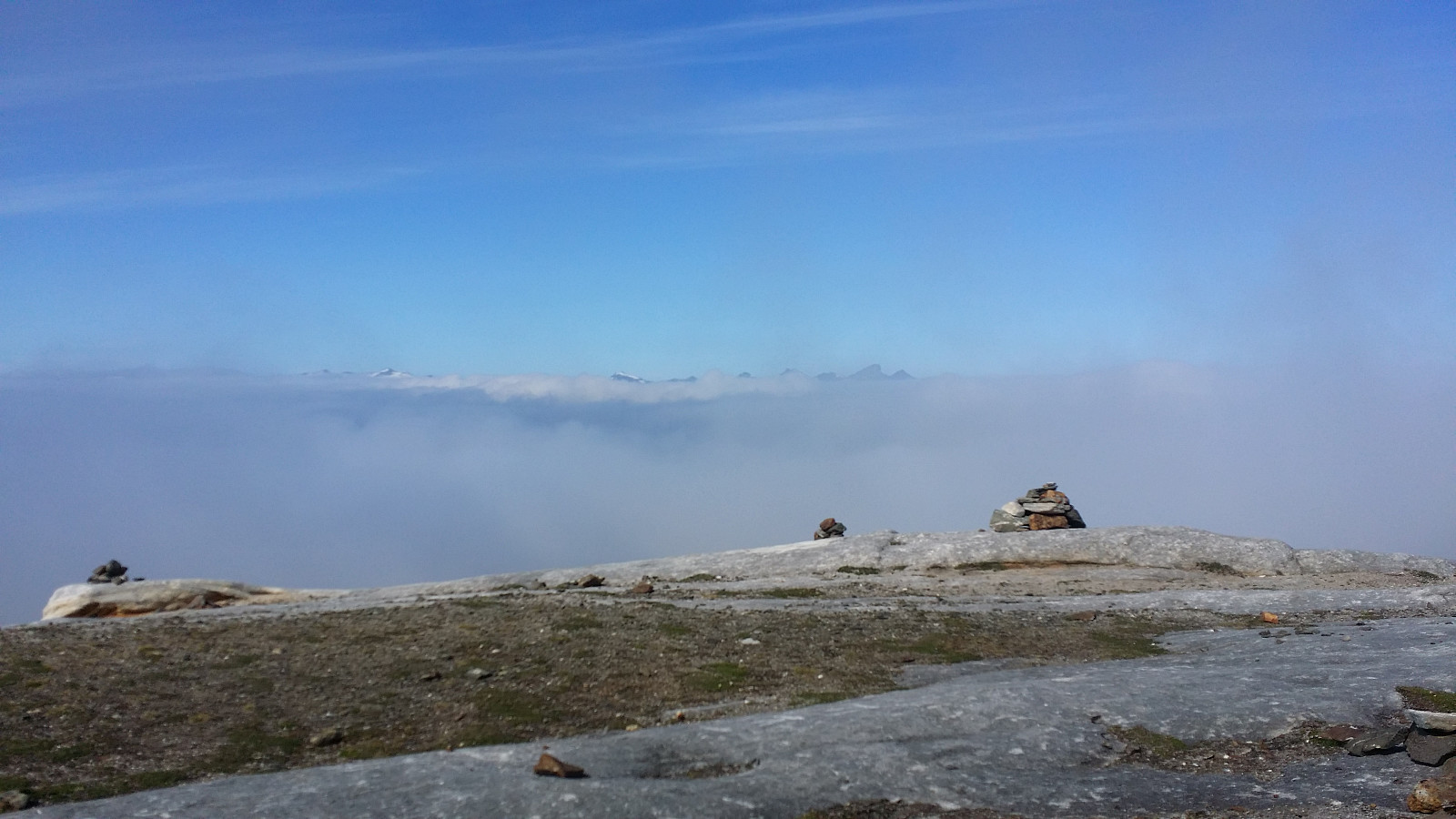 Startet turen fra parkeringsplassen ved Fjellheisen og fulgte stien sørover i retning mot Fløya. Tydelig sti helt opp over tregrensa. Nåt stien snur tilbake nordover mot Fjellheisens toppstasjon fortsatte vi på mindre stier opp til værfløya nært toppen og så videre til selve toppunktet på Fløya. Det var masse tåka så utsikten var ikkje den beste, men etter spisepause på toppen klarte vi å se Tromsøya og de aller høgste toppene på Kvaløya. Turen ned gikk tilbake til værfløya og så videre nedover forbi Steinbøhytta, utsiktspunktet på Fjellheisens toppstasjon og så ned igjen via Sherpatrappa.
Med på tur: Selvi
Startet turen fra parkeringsplassen ved Fjellheisen og fulgte stien sørover i retning mot Fløya. Tydelig sti helt opp over tregrensa. Nåt stien snur tilbake nordover mot Fjellheisens toppstasjon fortsatte vi på mindre stier opp til værfløya nært toppen og så videre til selve toppunktet på Fløya. Det var masse tåka så utsikten var ikkje den beste, men etter spisepause på toppen klarte vi å se Tromsøya og de aller høgste toppene på Kvaløya. Turen ned gikk tilbake til værfløya og så videre nedover forbi Steinbøhytta, utsiktspunktet på Fjellheisens toppstasjon og så ned igjen via Sherpatrappa.
Med på tur: Selvi

