
Eldsfjellet (19.01.2008)

Geschrieben von HHauser (Helwig Hauser)

| Startpunkt | Rossland (55m) |
|---|---|
| Endpunkt | Rossland (55m) |
| Tourcharakter | Bergtour |
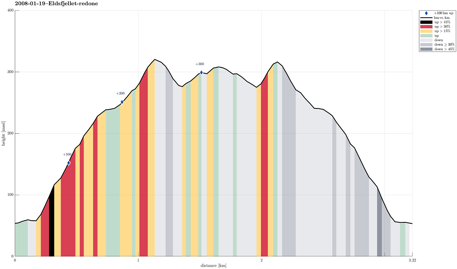
| Tourlänge | 2h 00min |
| Entfernung | 3,2km |
| Höhenmeter | 349m |
| GPS |
|
| Besteigungen | Eldsfjellet (324m) | 19.01.2008 |
|---|---|---|
| Besuche anderer PBE | Eldsfjellet p-lomme (53m) | 19.01.2008 |
Note that this track has been created a posteriori, i.e., from memory, not automatically recorded.
Trip Summary
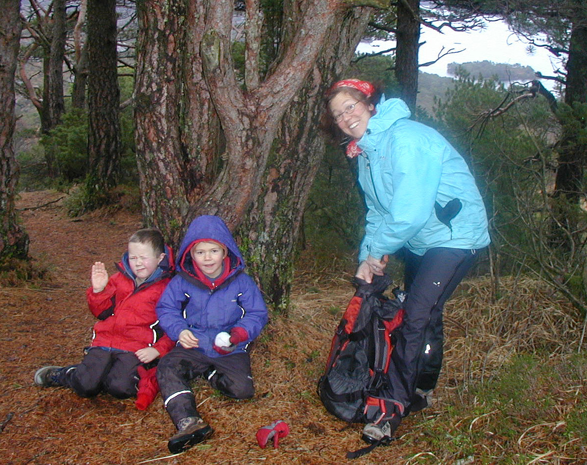
Impressive hike (with an intense hail storm!) up and down Eldsfjellet


Benutzerkommentare