
Garnes to Indre Arna via Ådnanipa (24.05.2026)

Geschrieben von hbar (Harald Barsnes)

| Startpunkt | Garnesvegen (31m) |
|---|---|
| Endpunkt | Arna stasjon (8m) |
| Tourcharakter | Bergtour |
| Tourlänge | 2h 21min |
| Entfernung | 7,0km |
| Höhenmeter | 439m |
| GPS |


|
| Besteigungen | Ådnanipa (456m) | 24.05.2026 |
|---|---|---|
| Åsheimsvarden (459m) | 24.05.2026 | |
| Besuche anderer PBE | Arna stasjon (8m) | 24.05.2026 |
| Høgåsen utsiktspunkt (318m) | 24.05.2026 | |
| Stølsvegen parkering (90m) | 24.05.2026 |
Garnes to Indre Arna via Ådnanipa
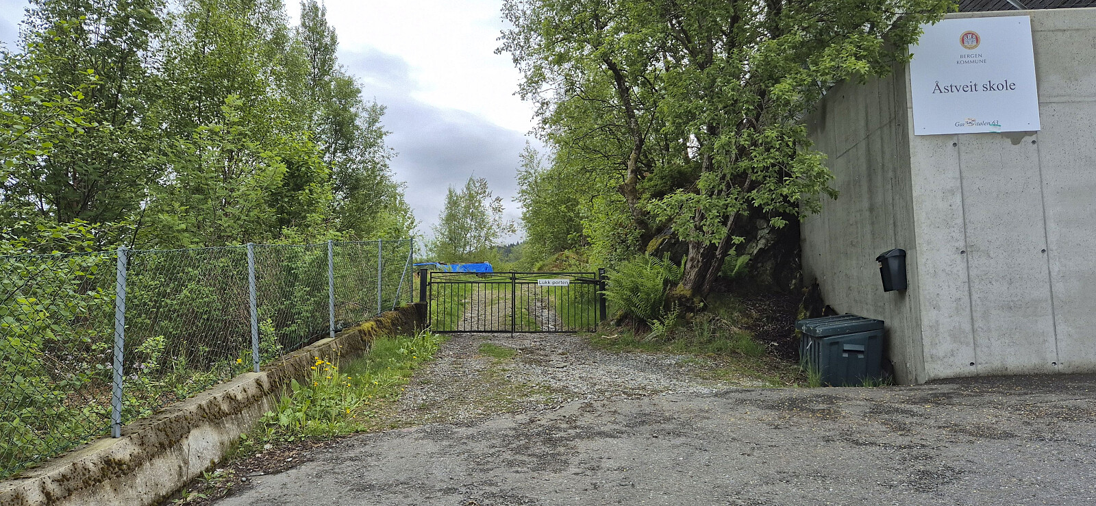
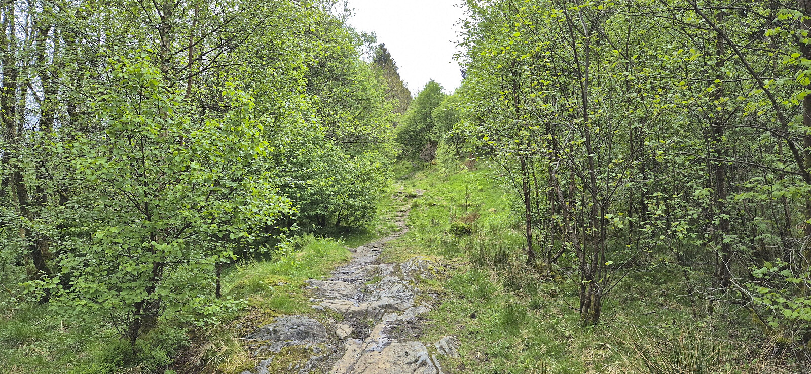
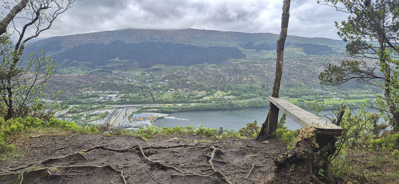
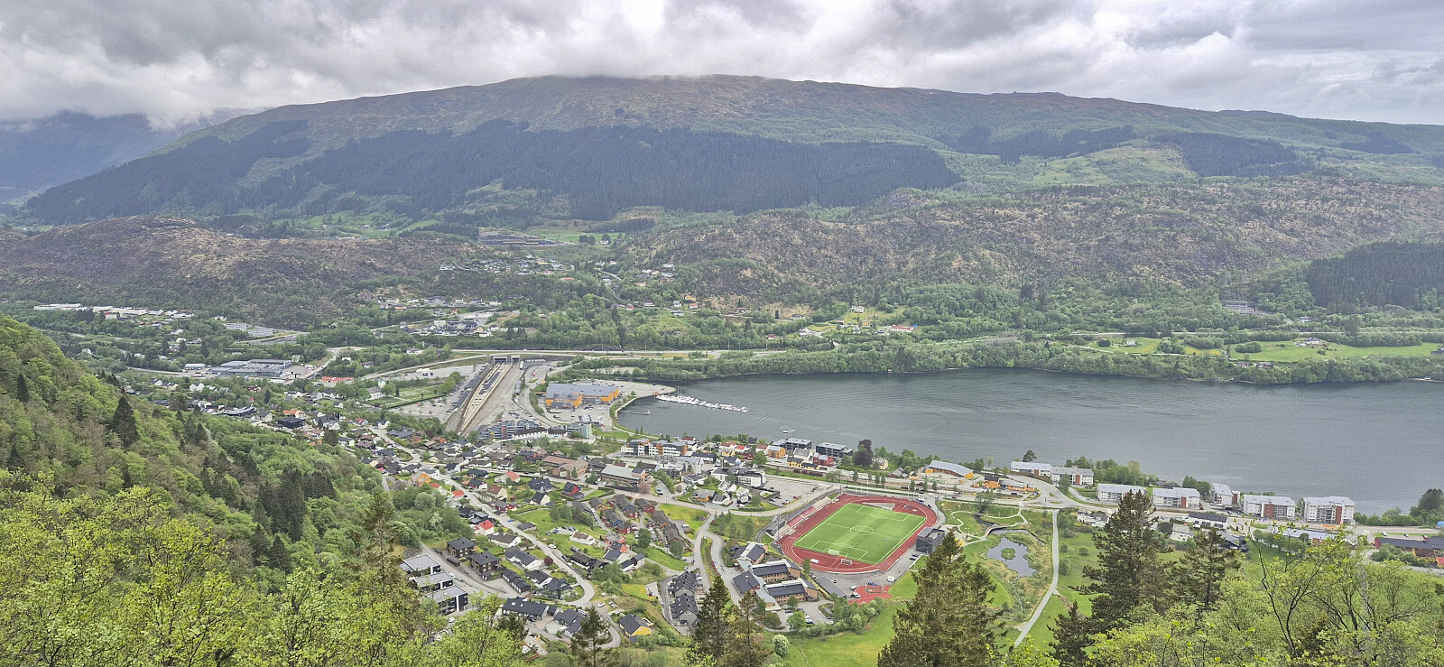
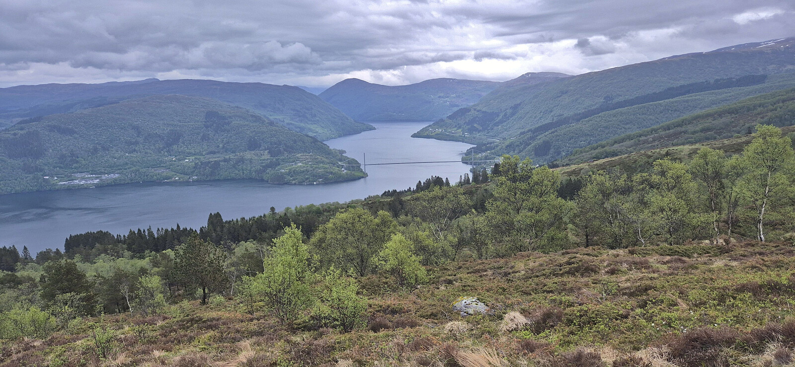
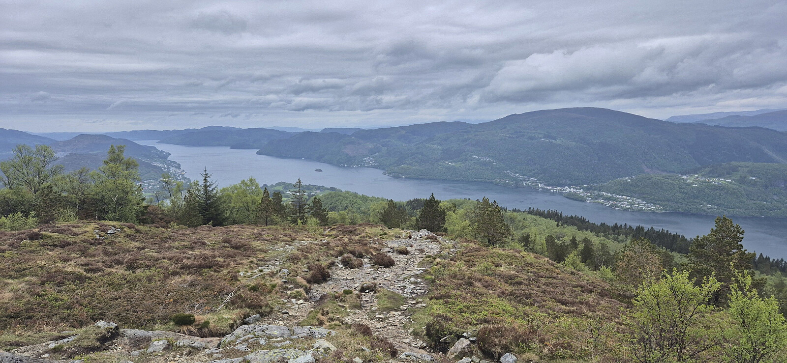
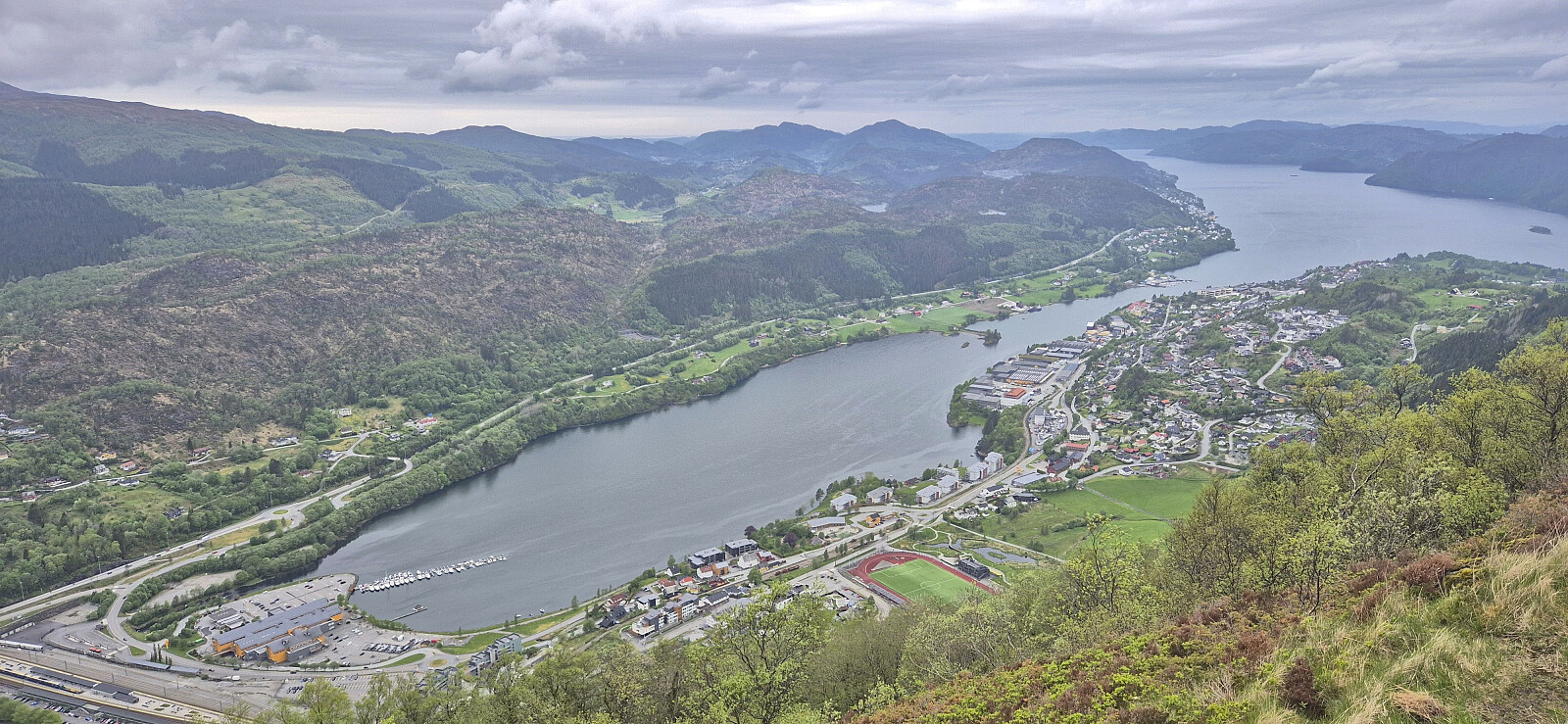
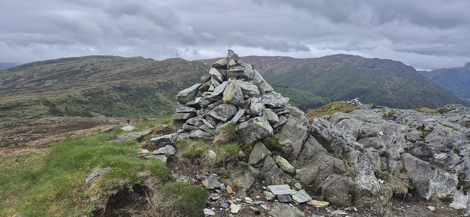
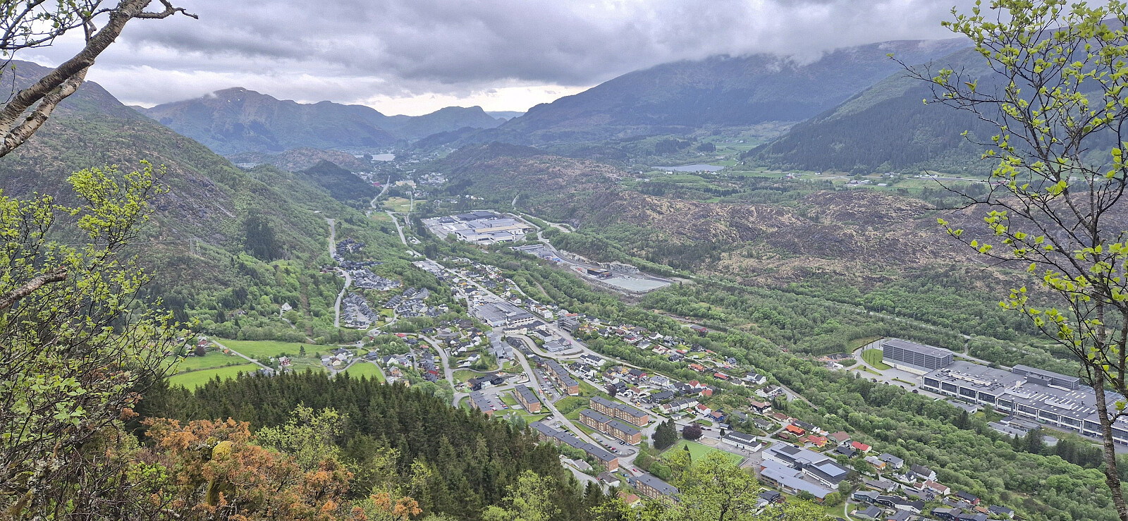
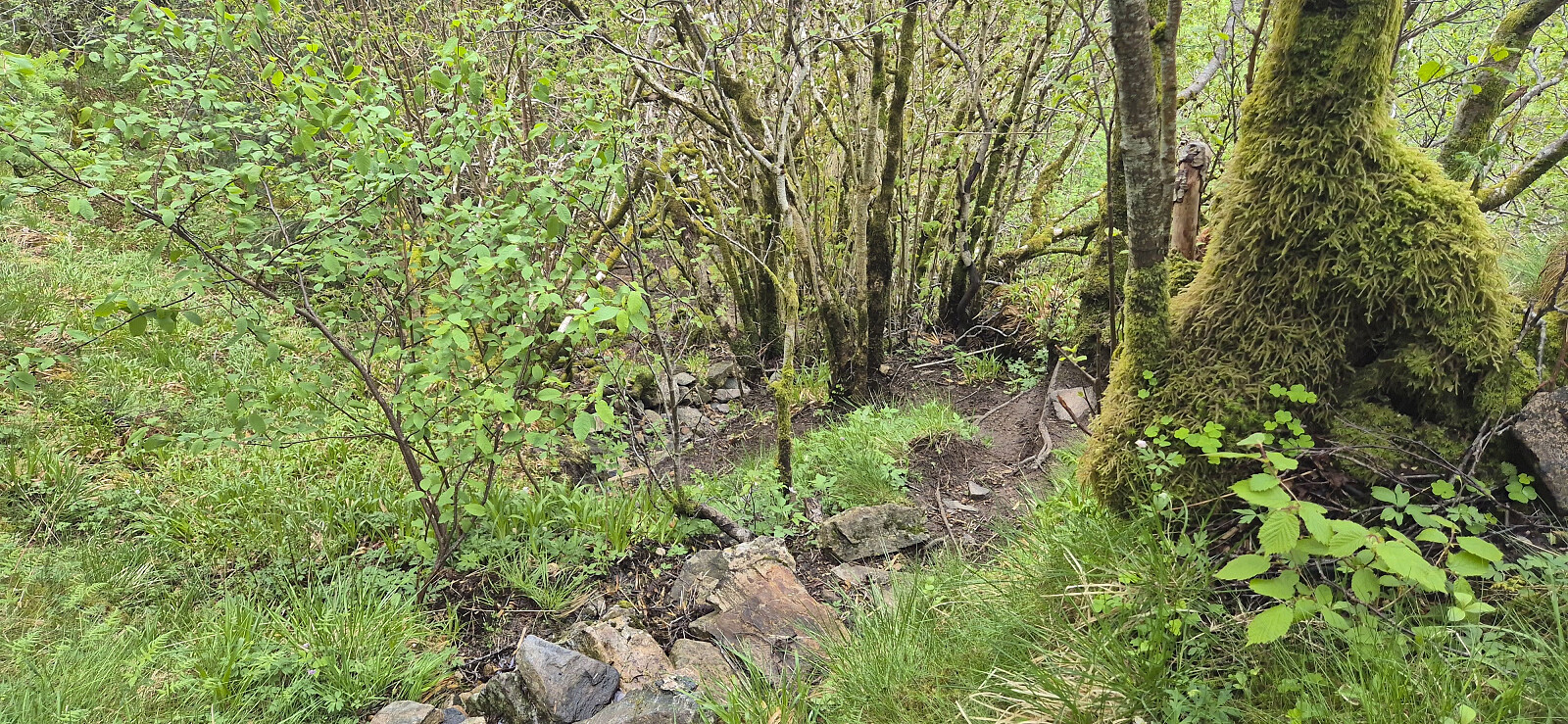
A return to Arna for a revisit of Ådnanipa via a (for me) new route from Garnes. I had also considered continuing to Skåldalsfjellet, but the cold wind made this less appealing. Instead, I descended via a steep trail that on more than one occasion bordered on scrambling. Probably easier as an ascent route.
| Startzeitpunkt | 24.05.2026 13:47 (UTC+01:00 SZ) |
| Endzeitpunkt | 24.05.2026 16:09 (UTC+01:00 SZ) |
| Gesamtzeit | 2h 21min |
| Zeit in Bewegung | 2h 15min |
| Pausenzeit | 0h 6min |
| Gesamtschnitt | 3,0km/h |
| Bewegungsschnitt | 3,1km/h |
| Entfernung | 7,0km |
| Höhenmeter | 439m |


Benutzerkommentare