
Through Wien from Hauptbahnhof (29.04.2026)

Geschrieben von HHauser (Helwig Hauser)

| Startpunkt | Wien Hauptbahnhof (200m) |
|---|---|
| Endpunkt | Eyslergasse (240m) |
| Tourcharakter | Fahrradtour Straße |
| Tourlänge | 0h 45min |
| Entfernung | 9,4km |
| Höhenmeter | 107m |
| GPS |
|
| Besuche anderer PBE | Stranzenbergbrücke (230m) | 29.04.2026 |
|---|
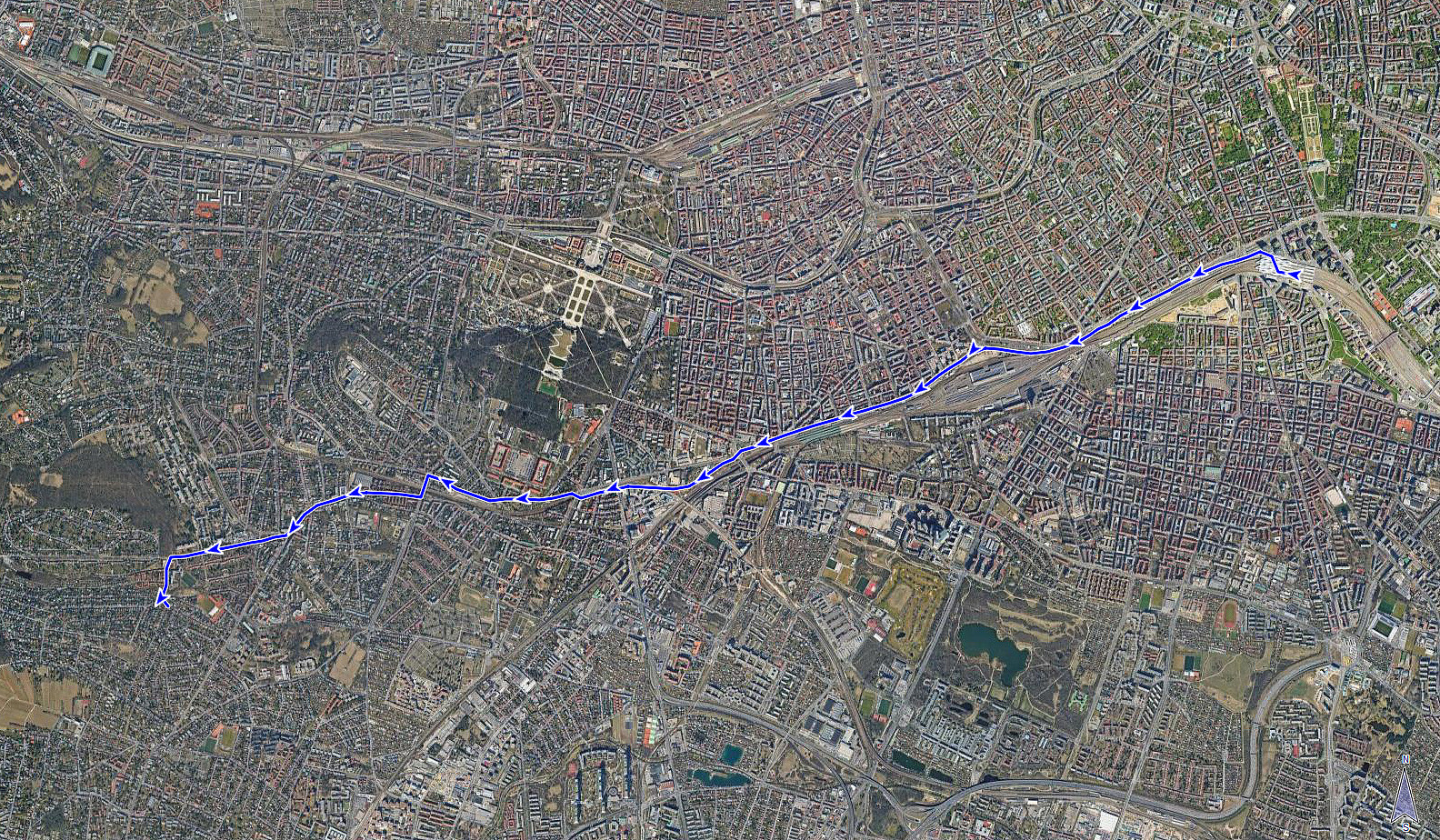
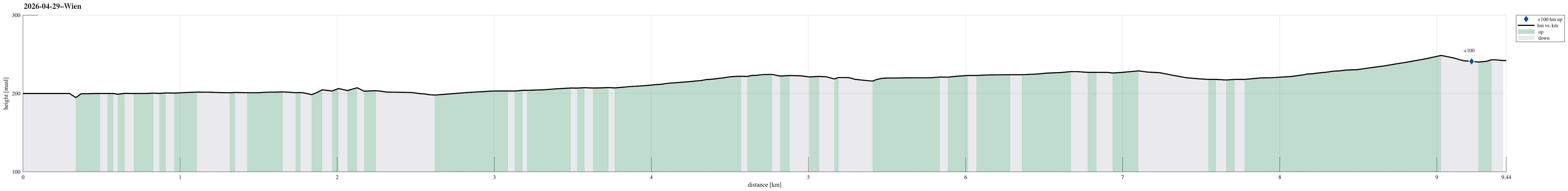
Note that this track has been created from memory, i.e., it was not recorded automatically.
Trip Summary
After first biking from Smolenice to Marchegg and then taking a train to Vienna, I still had to cover some 10km in Vienna. This worked as planned and there's nothing special to report about the route.
Useful Resources
See also the related FB-page Hiking around Bergen, Norway.


Benutzerkommentare