
Biking from Bratislava to Smolenice (26.04.2026)

Geschrieben von HHauser (Helwig Hauser)

| Startpunkt | Bratislava (135m) |
|---|---|
| Endpunkt | Smolenice (300m) |
| Tourcharakter | Fahrradtour gemischt |
| Tourlänge | 6h 00min |
| Entfernung | 76,7km |
| Höhenmeter | 946m |
| GPS |
|
| Besuche anderer PBE | Kamenná kalvária (210m) | 26.04.2026 |
|---|---|---|
| Smolenický castle (300m) | 26.04.2026 | |
| Vahadlová studňa (190m) | 26.04.2026 |

Trip Summary
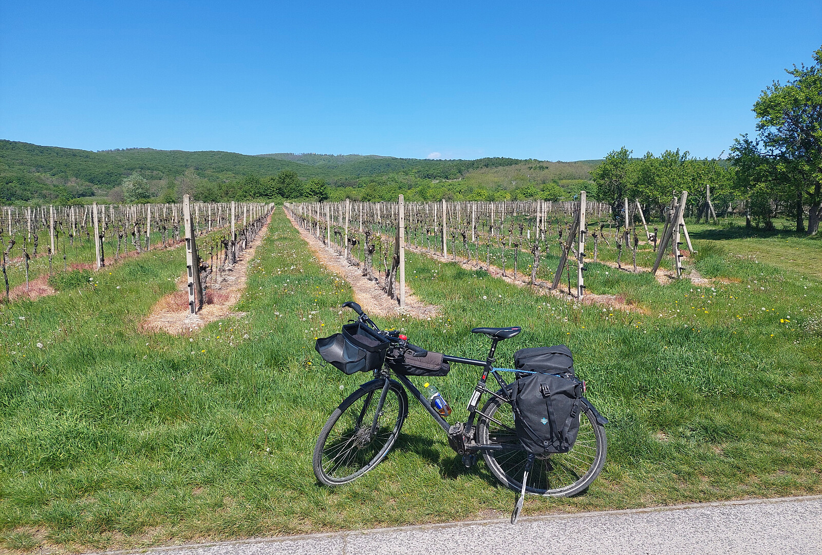
After first biking through Vienna, I then took the boat (TwinCityLiner) from Vienna to Bratislava. From there, I had planned to bike to Smolenice in the northeast of Bratislava, following the southeastern feet of the Carpartian mountains. After arriving between the SNP bridge and Starý (old) bridge, I first had to find my way through Bratislava. Relatively soon, I found myself on Špitálska, before then continuing on Krížna and Vajnorská towards the northeast. Since it was Sunday in the morning, the traffic was limited and biking along these major roads was just fine. I then took a turn left onto Jarošova, before soon turning right, again (onto Racianska). Following Racianska, which is one of the main roads out of Bratislava towards the north, I quickly made the necessary kilometers to get out of Bratislava. Once near Raca, I then decided to leave Racianska and find a route, which is better suited for cyclists (I really wished to avoid Racianska outside of any city limits). I found a proper route, parallel to Racianska, following Kubacova, a bit further towards the northwest of Racianska. At the northeastern end of Raca, I eventually ended up on a side road to Púchovská, i.e., the continuation of Racianska, which also is dedicated to cyclists. A bit further to the northeast, I came to Svätý Jur, where I had to do some detours to follow the bike route. After leaving Svätý Jur towards the northeast, I again cycled along a side road of main road Krajinská cesta. While this side road was not completely paved, it still brought me nicely northwards (towards Grinava). My ahead of time map study had then suggested to follow some field road connection to Limbach, further north, instead of continuing parallel to the main road to Pezinok. After first not finding this connection right away, I then found it, making some moderately steep height meters on my way over to Limbach. From Limbach, the plan was then to surround Pezinok in its west, following some track which were also meant to be part of a bike route. This worked well and soon I found myself north of Pezinok. Crossing through Cajla, I headed eastwards to Vinosady. To get there, I had to conquer a stretch, which (on the one hand) was marked to be part of a bike route, while (on the other hand) turned out to be a rough field road. After passing through Vinosady, the next goal was Modra. Following a nice bike trail, first, I then followed some signs that suggested a turn to the left, followed by a significant ascent, steeply upwards. While this brought me to a nice vista point, near Kamenná kalvária, I afterwards was surprised why the "bike route" would include this (rather uncessary seeming) steep climb up to Kamenná kalvária, first, and then down again into Modra. After then cycling northwards along the main square of Modra, I then got fooled by another sign, promising a nice bike route. While the bike route indeed turned out to be very nice, it unfortunately led me into the completely wrong direction (southwards instead of northwards)! It then also took me a while, before I recognized how wrong this route was (after all, it was also going nicely downhill with the wind in my back). Only after quite a bit into the wrong direction, I then stopped to double-check and make a new plan. :-| Yet again projecting trust into the bike routes, which I had looked up ahead of time, I found a "connection", which was supposed to bring back on track further northwards. Well, well. Before eventually making to road 504 quite a bit further north, I had to navigate some quite adventurous field roads (maybe something for mountain bikes, clearly a bit of a stretch for a trecking bike). Road 504 then brought me to Králová, where I eventually reconnected with road 502 and my trip to Smolenice along it. Following this road, I then made it to Dubová and thereafter to Castá. From there, it was through Dolany to Dolné Orešany, where some road signs indicated that the continuation along road 502 to Smolenice may be blocked. In Horné Orešany, I indeed faced quite a bit of road work, which slowed my progress further northwards. Soon afterwards, however, I could the bridge over to Smolenice, where I arrived at the castle quite a bit exhausted (basically all my trip, I had faced strong head winds, and cycling along the feet of the Carpartian mountains also had meant that a significant sum of height meters had to be traversed, carrying all my luggage for three days with me). As soon as I arrived at the castle in Smolenice, however, I quickly forgot the strains of the bike trip, enjoying the rest of the day in nice company! :-)
Photos
Selected photos are available as Google photo album.
Useful Resources
The TwinCityLiner is an interesting alternative option to get from Vienna to Bratislava (or the other way around).


Benutzerkommentare