
Hauggjelsvarden from Sædalen via Erdalsvarden (14.02.2026)

Geschrieben von hbar (Harald Barsnes)

| Startpunkt | Nye Sædalsveien (150m) |
|---|---|
| Endpunkt | Nye Sædalsveien (150m) |
| Tourcharakter | Bergtour |
| Tourlänge | 4h 33min |
| Entfernung | 11,8km |
| Höhenmeter | 682m |
| GPS |
|
| Besteigungen | Byfjellenes høyeste punkt (674m) | 14.02.2026 |
|---|---|---|
| Hauggjelsvarden (673m) | 14.02.2026 | |
| Krossen (397m) | 14.02.2026 | |
| Besuche anderer PBE | Erdalsvarden (458m) | 14.02.2026 |
| Gimle (597m) | 14.02.2026 | |
| Indre Sædal p-plass (165m) | 14.02.2026 | |
| Noreg (634m) | 14.02.2026 | |
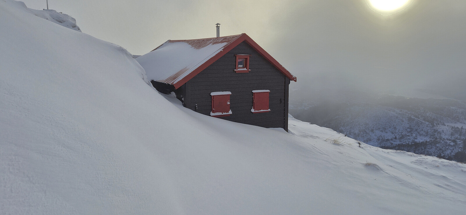
| Turnerhytten (642m) | 14.02.2026 | |
| Valhal (645m) | 14.02.2026 |
Hauggjelsvarden from Sædalen via Erdalsvarden
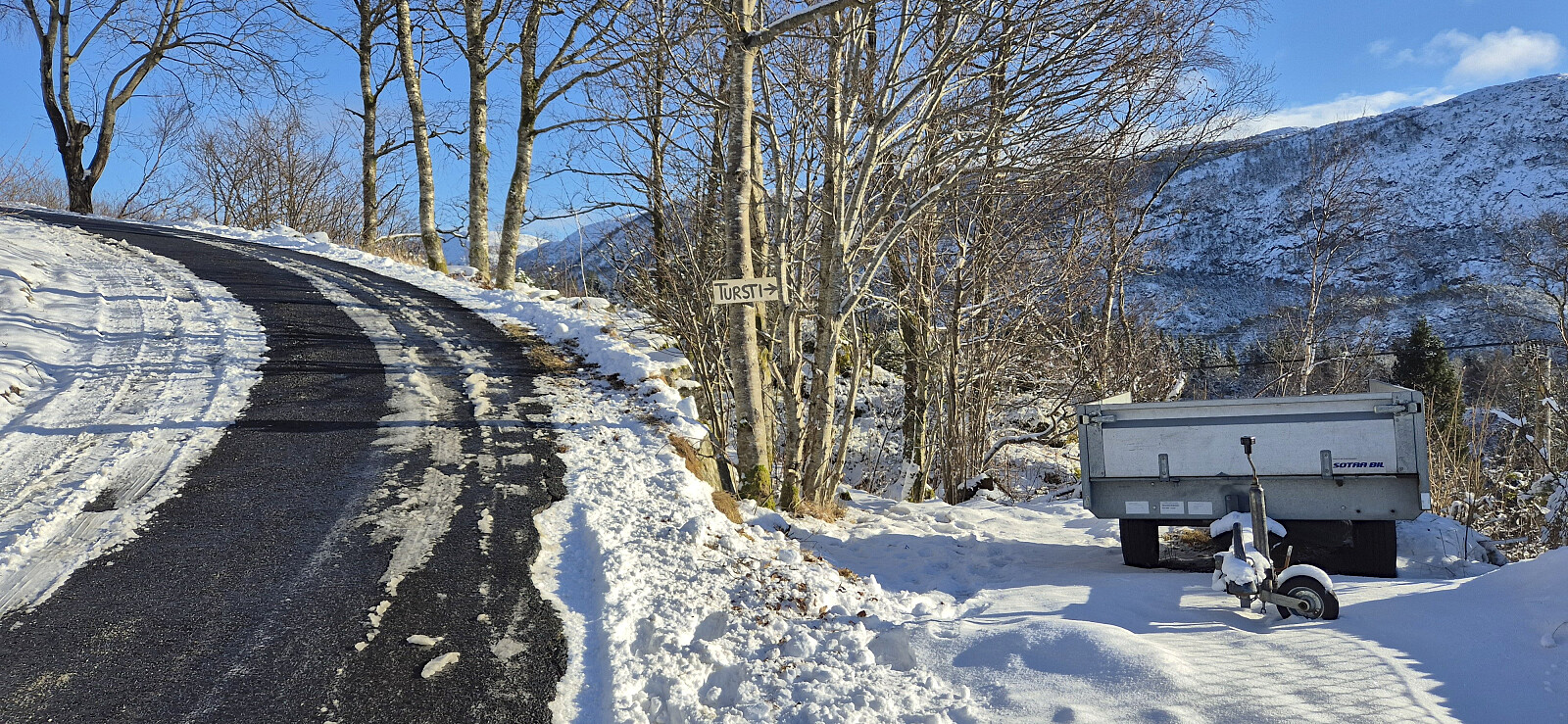
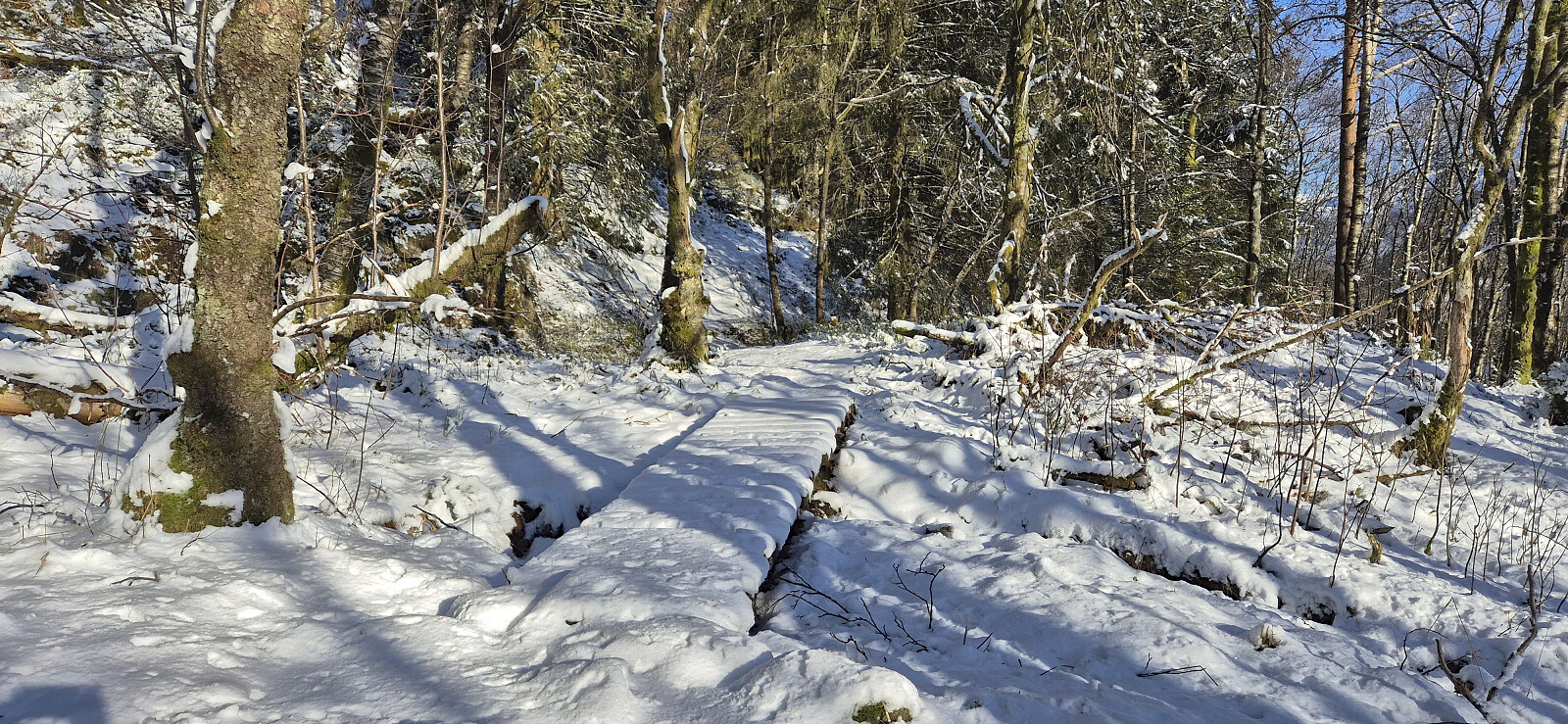
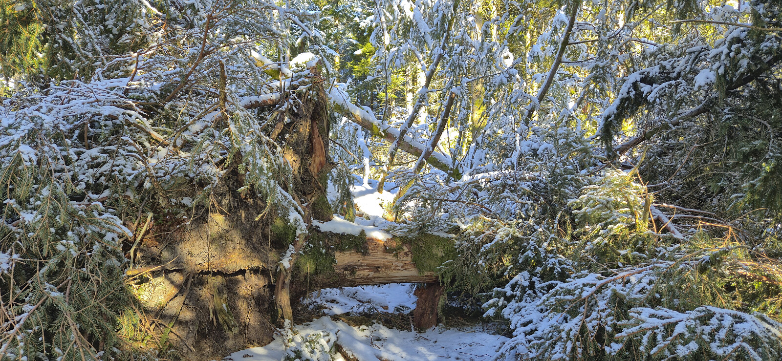
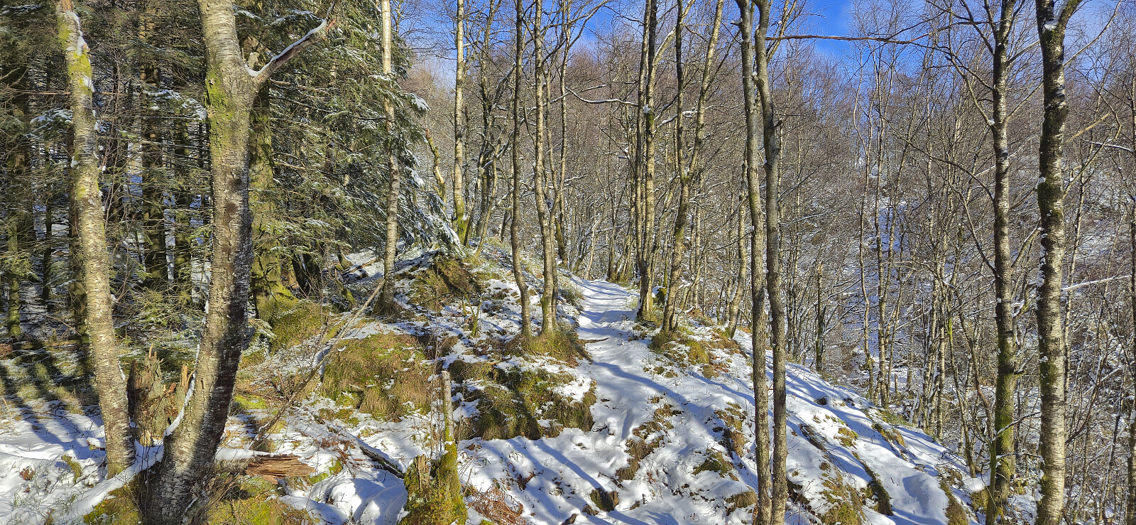
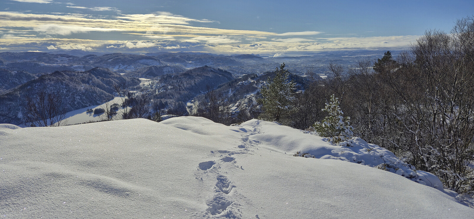
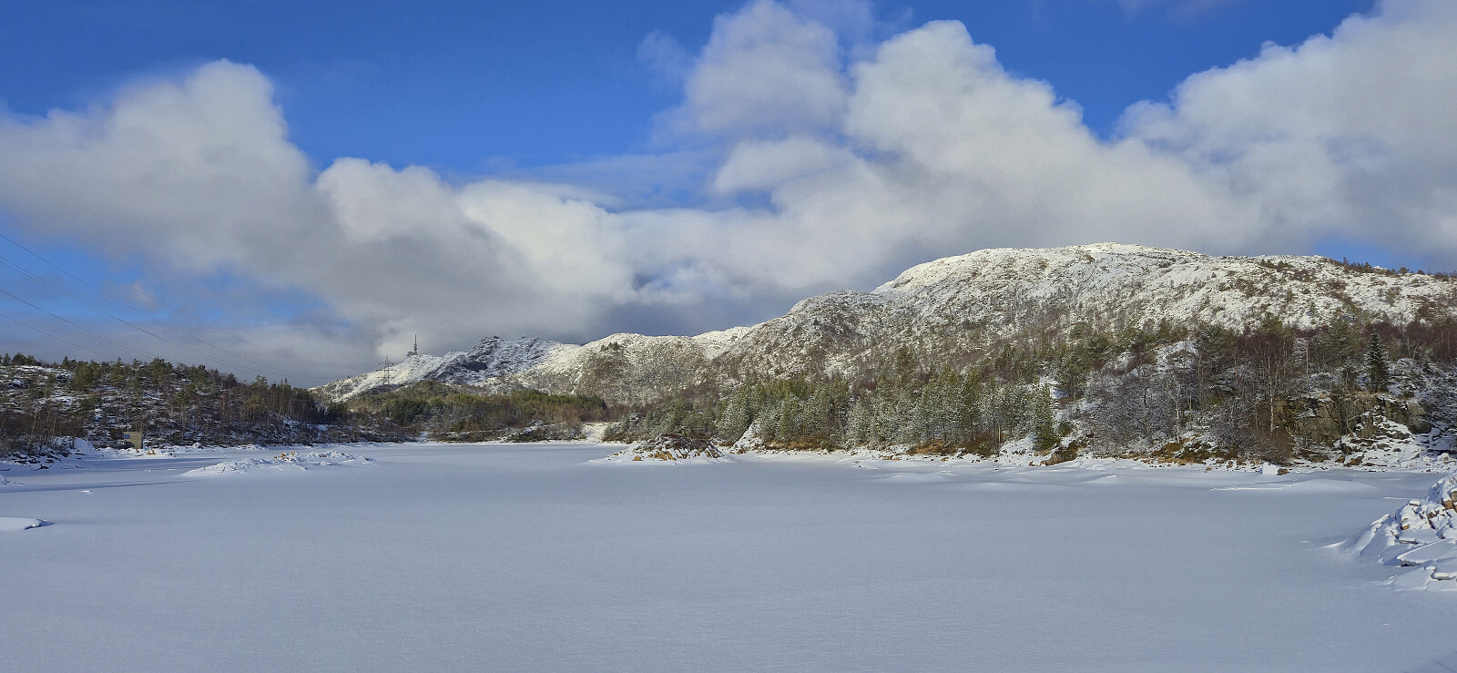
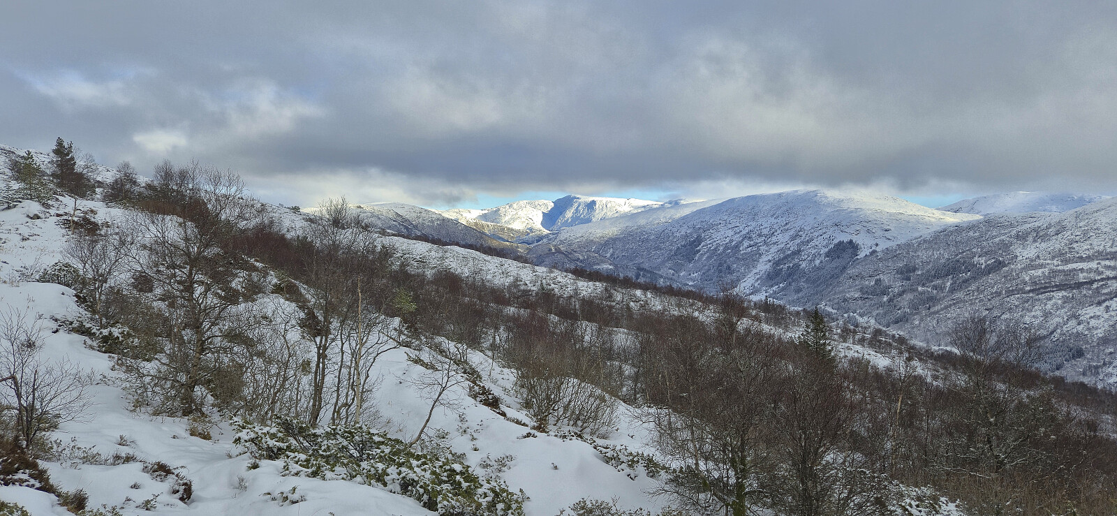
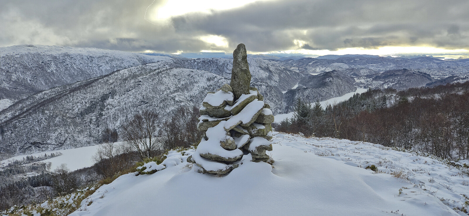
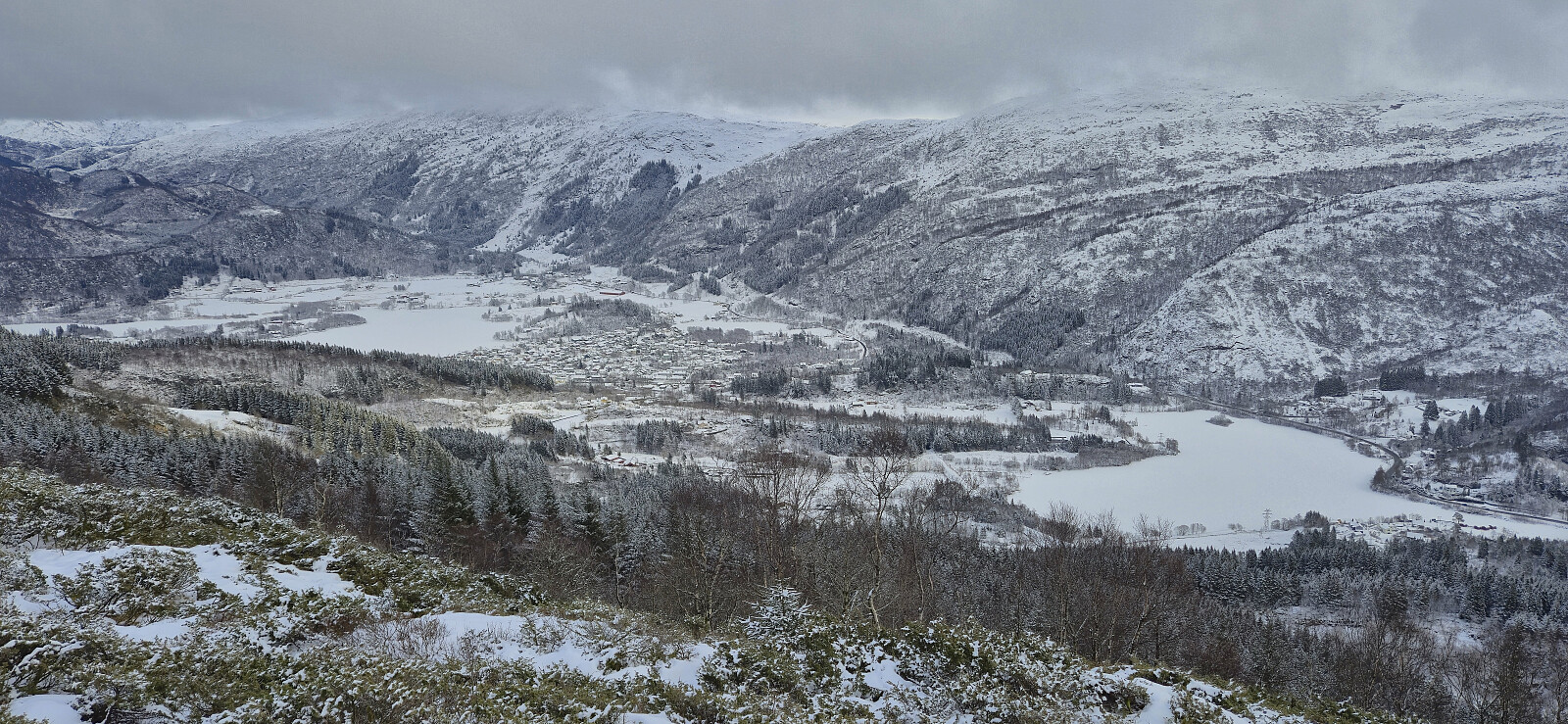
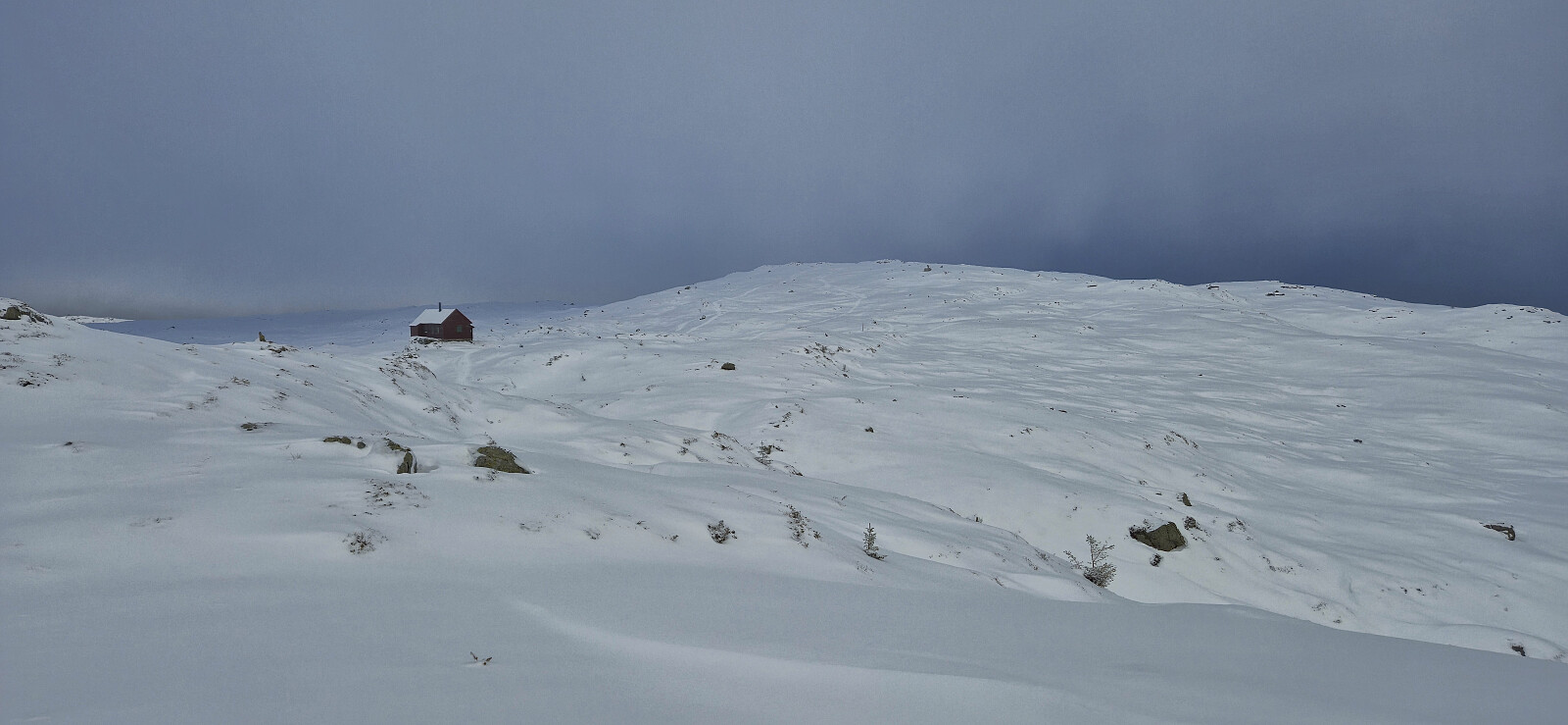
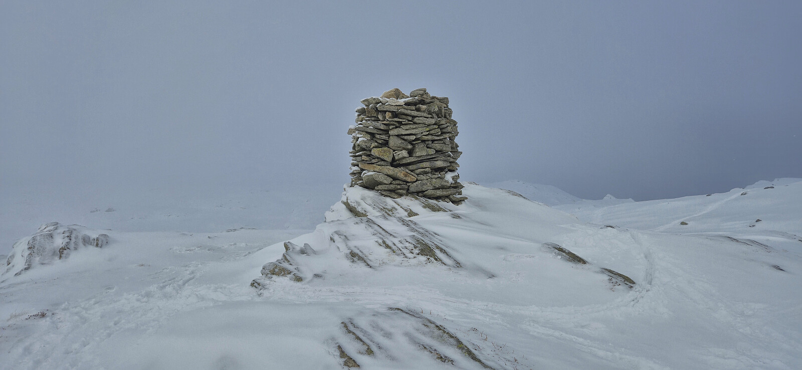
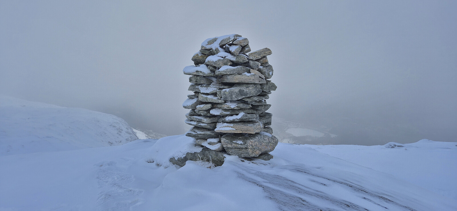
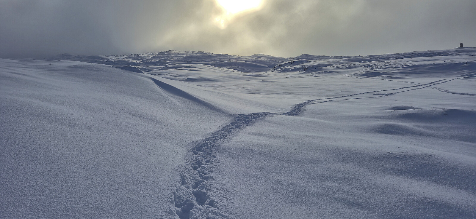
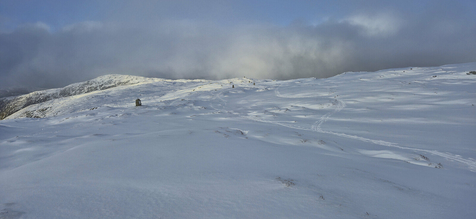
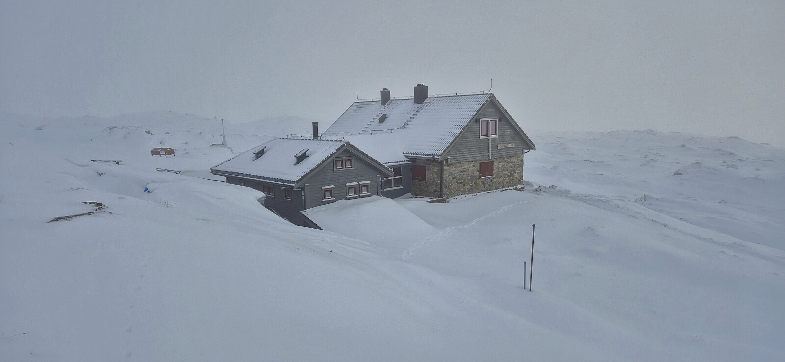
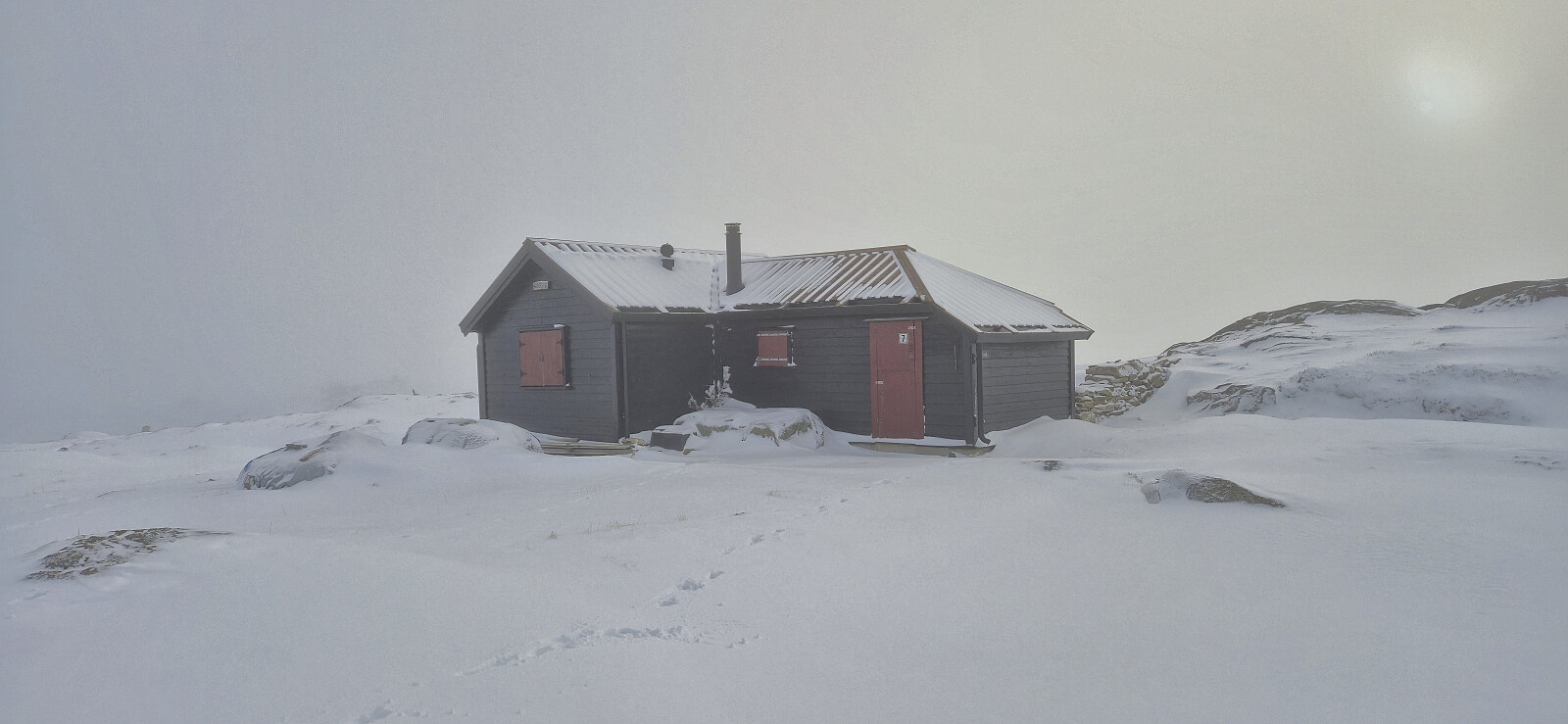
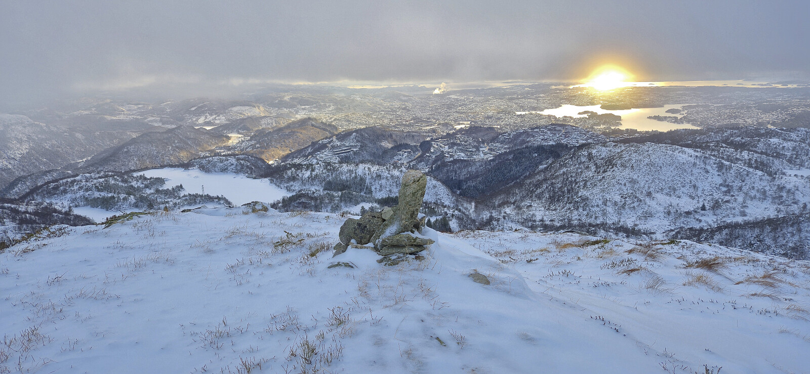
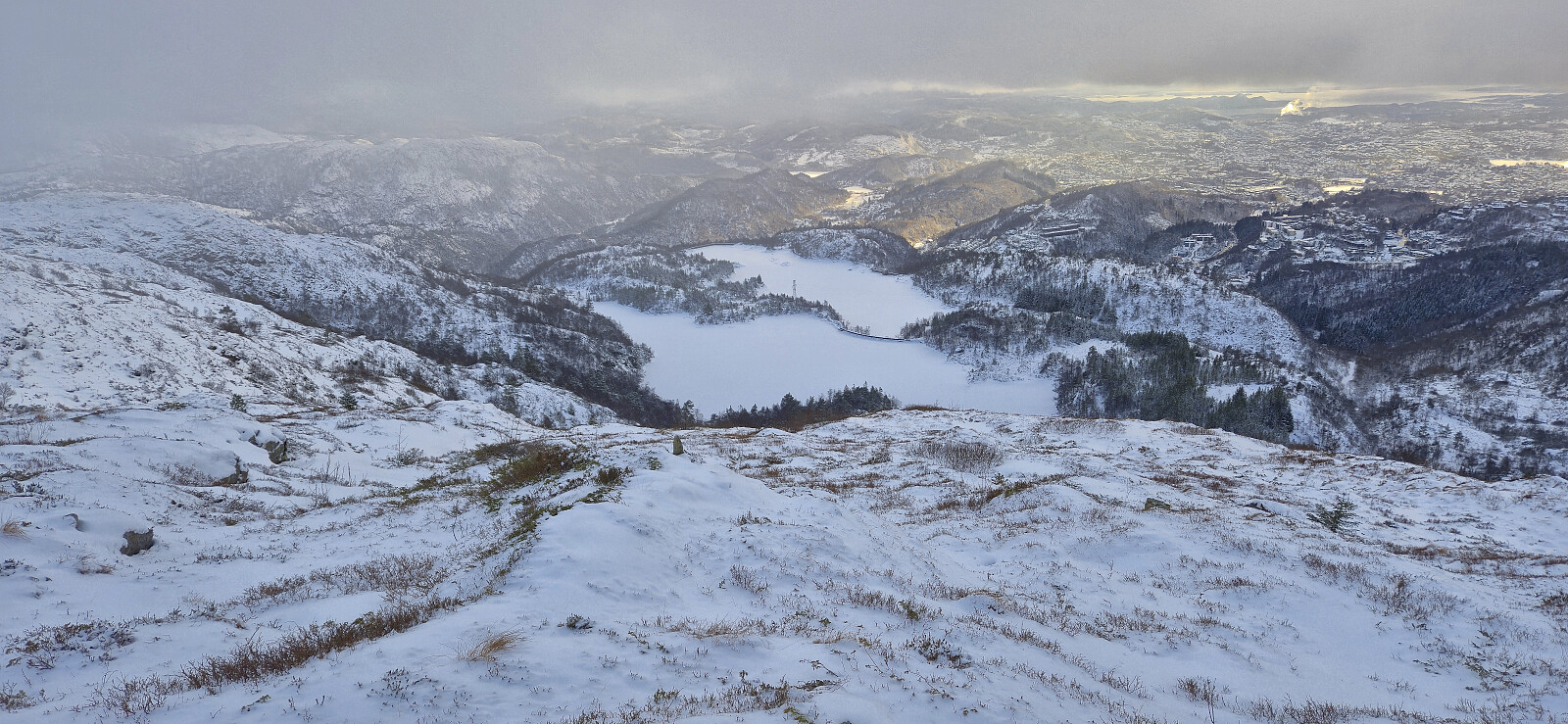
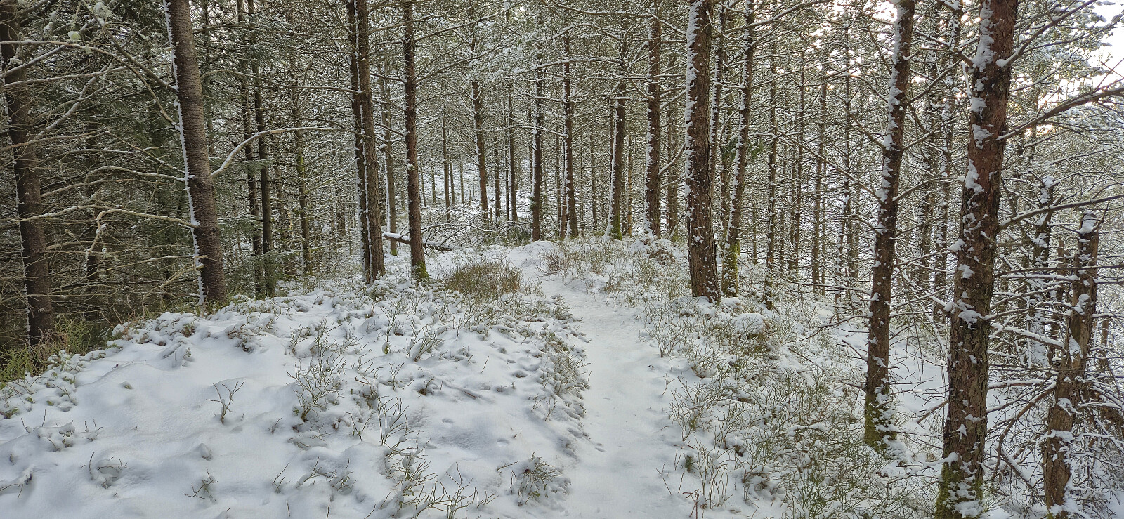
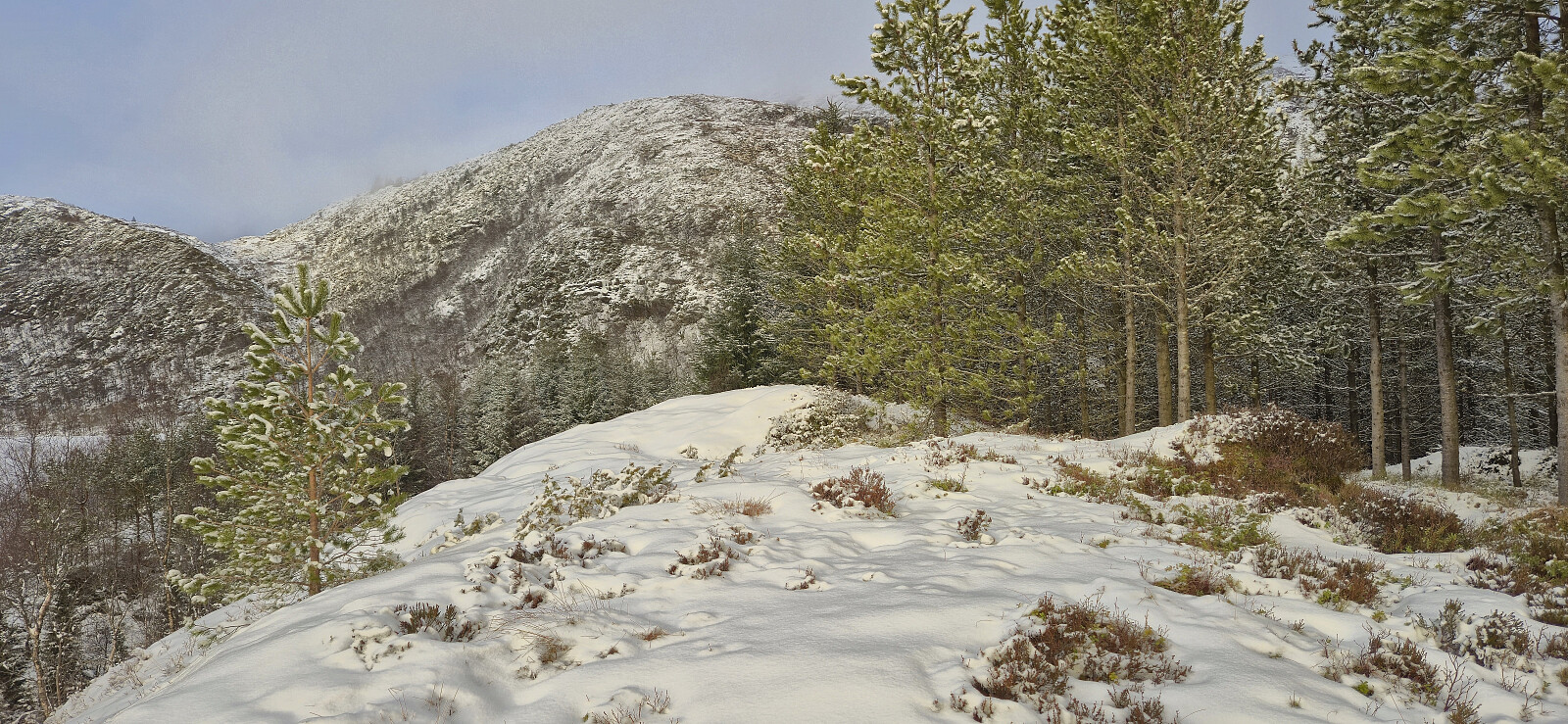
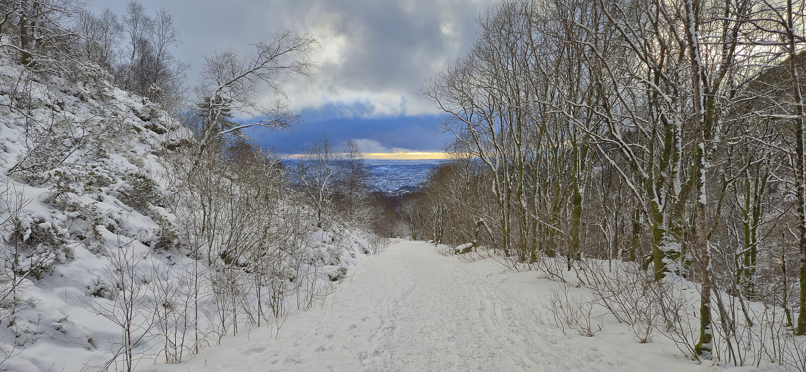
Saturday hike in fresh snow exploring a new route to Hauggjelsvarden via Erdalsvarden. The trailhead from Helldalslia was marked however the trail itself was not always easy to follow, largely due to the snow but also due to lots of fallen trees partially blocking the way. How closely I later followed the trail towards Erdalsvarden I'm not sure but I think I did pretty good. From Erdalsvarden I headed off-trail towards Valhal and then continued to Byfjellenes høyeste punkt and Hauggjelsvarden, before circling back to Turnerhytten and descending via a (for me) new route passing by Gimle. During the descent, I made a quick visit of Krossen where I was able to follow a trail almost to the highest point that also continued to the gravel road to the south. The hike was finally concluded with a light jog down the gravel road in order to return to Sædalen in time for the bus back to the city center.
| Startzeitpunkt | 14.02.2026 12:19 (UTC+01:00) |
| Endzeitpunkt | 14.02.2026 16:53 (UTC+01:00) |
| Gesamtzeit | 4h 33min |
| Zeit in Bewegung | 4h 03min |
| Pausenzeit | 0h 30min |
| Gesamtschnitt | 2,6km/h |
| Bewegungsschnitt | 2,9km/h |
| Entfernung | 11,8km |
| Höhenmeter | 682m |


Benutzerkommentare