
Botnahaugen, Ørnahaugen and Straumsfjellet (07.02.2026)

Geschrieben von hbar (Harald Barsnes)

| Startpunkt | Sandeide terminal (7m) |
|---|---|
| Endpunkt | Loddefjord terminal (3m) |
| Tourcharakter | Bergtour |
| Tourlänge | 2h 20min |
| Entfernung | 7,4km |
| Höhenmeter | 298m |
| GPS |
|
| Besteigungen | Botnahaugen (23m) | 07.02.2026 |
|---|---|---|
| Straumsfjellet (111m) | 07.02.2026 | |
| Ørnahaugen (66m) | 07.02.2026 | |
| Besuche anderer PBE | Hetlevikstraumen bro (3m) | 07.02.2026 |
Botnahaugen, Ørnahaugen and Straumsfjellet
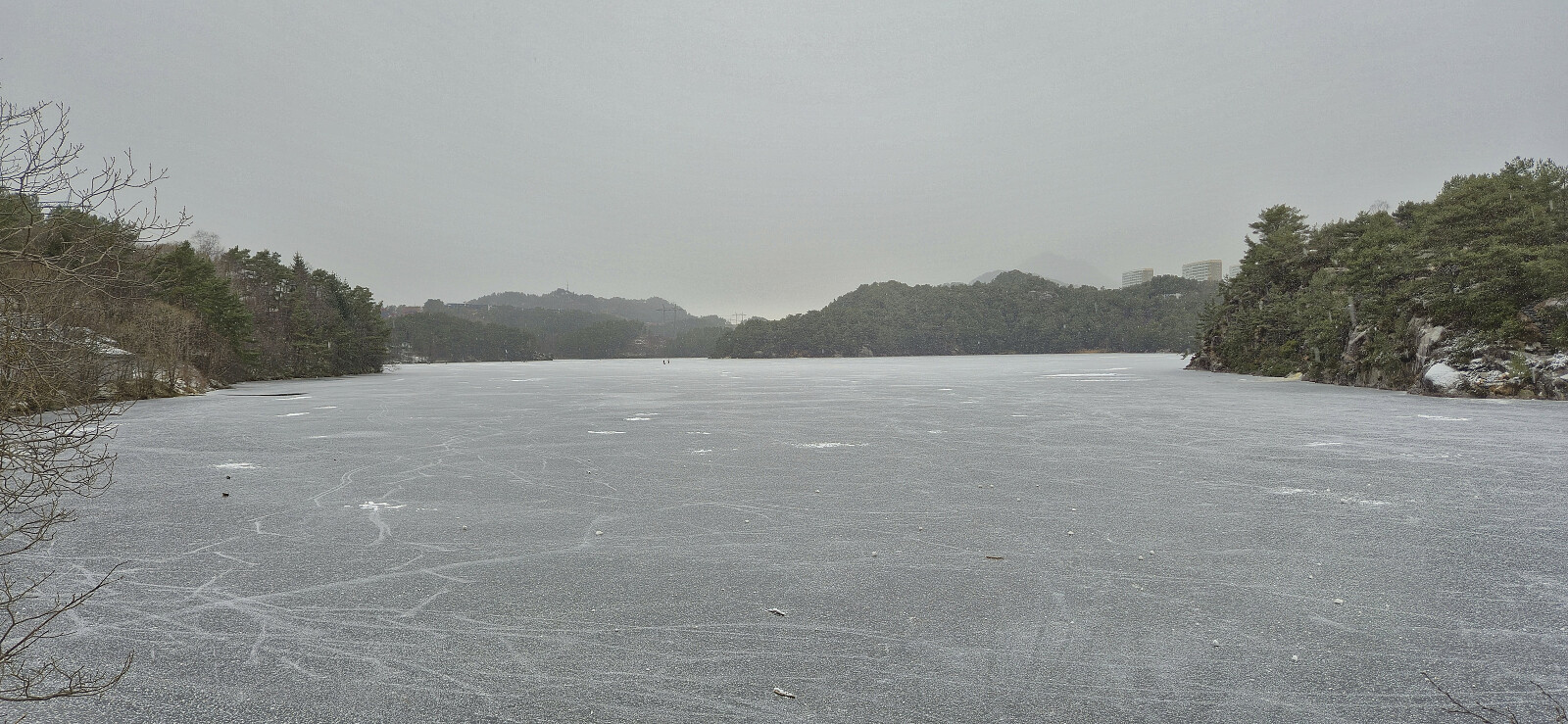
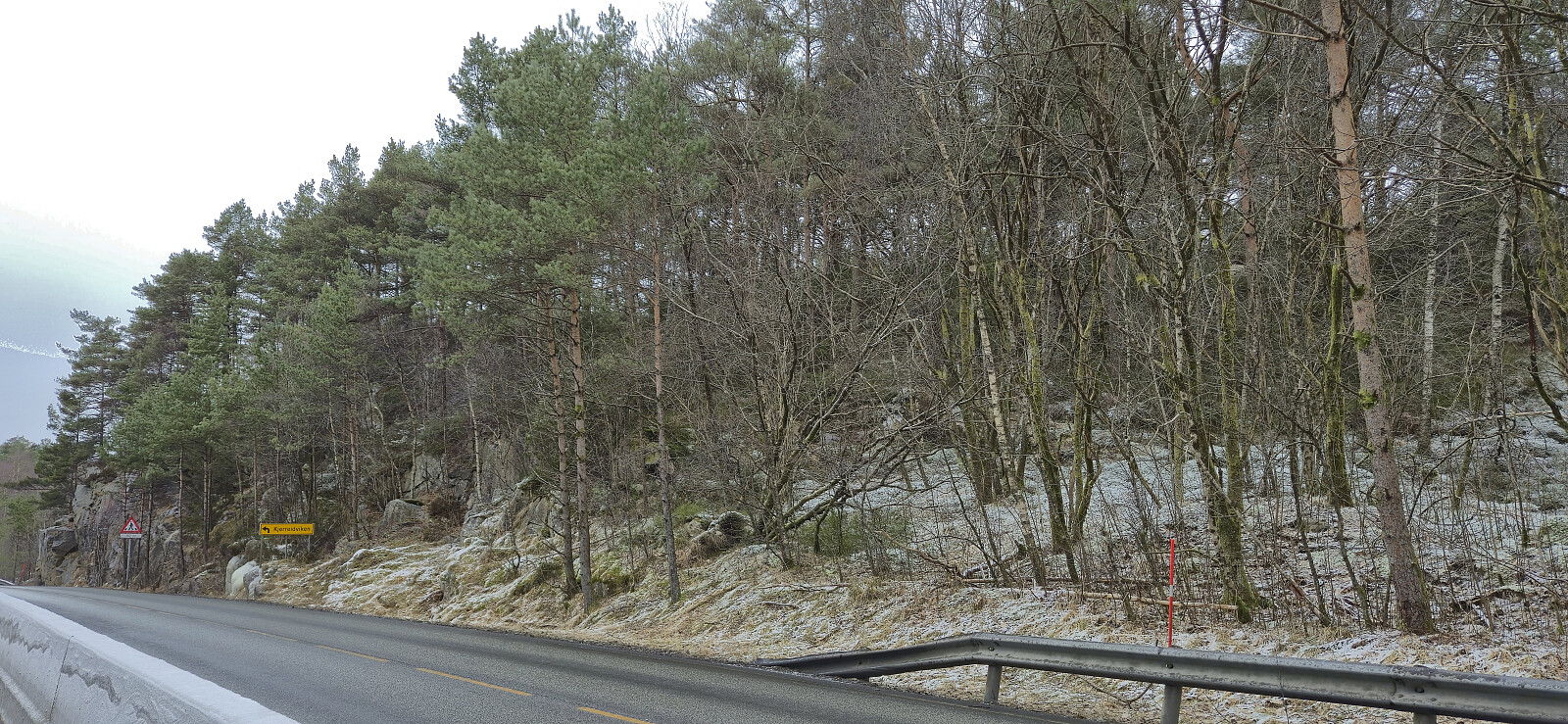
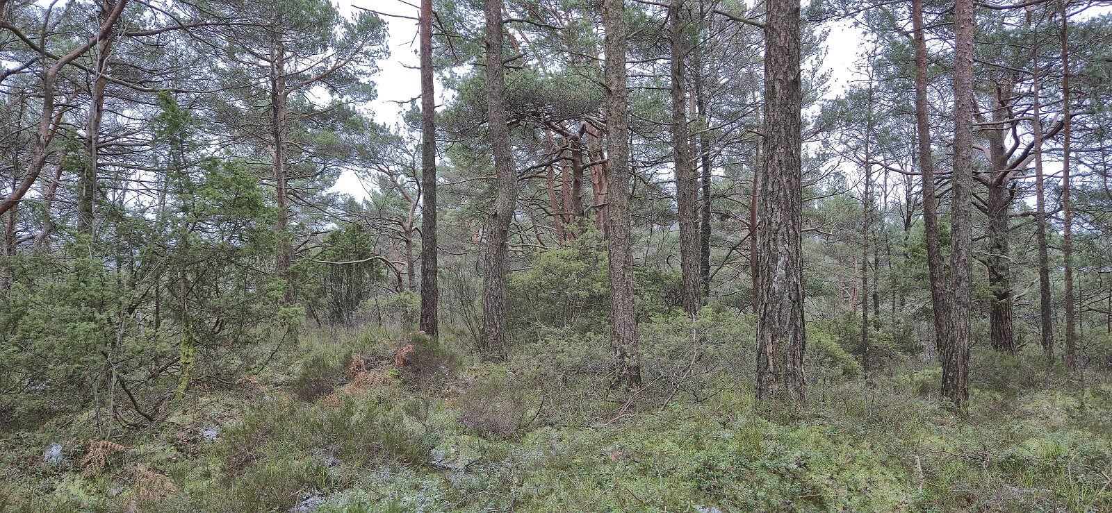
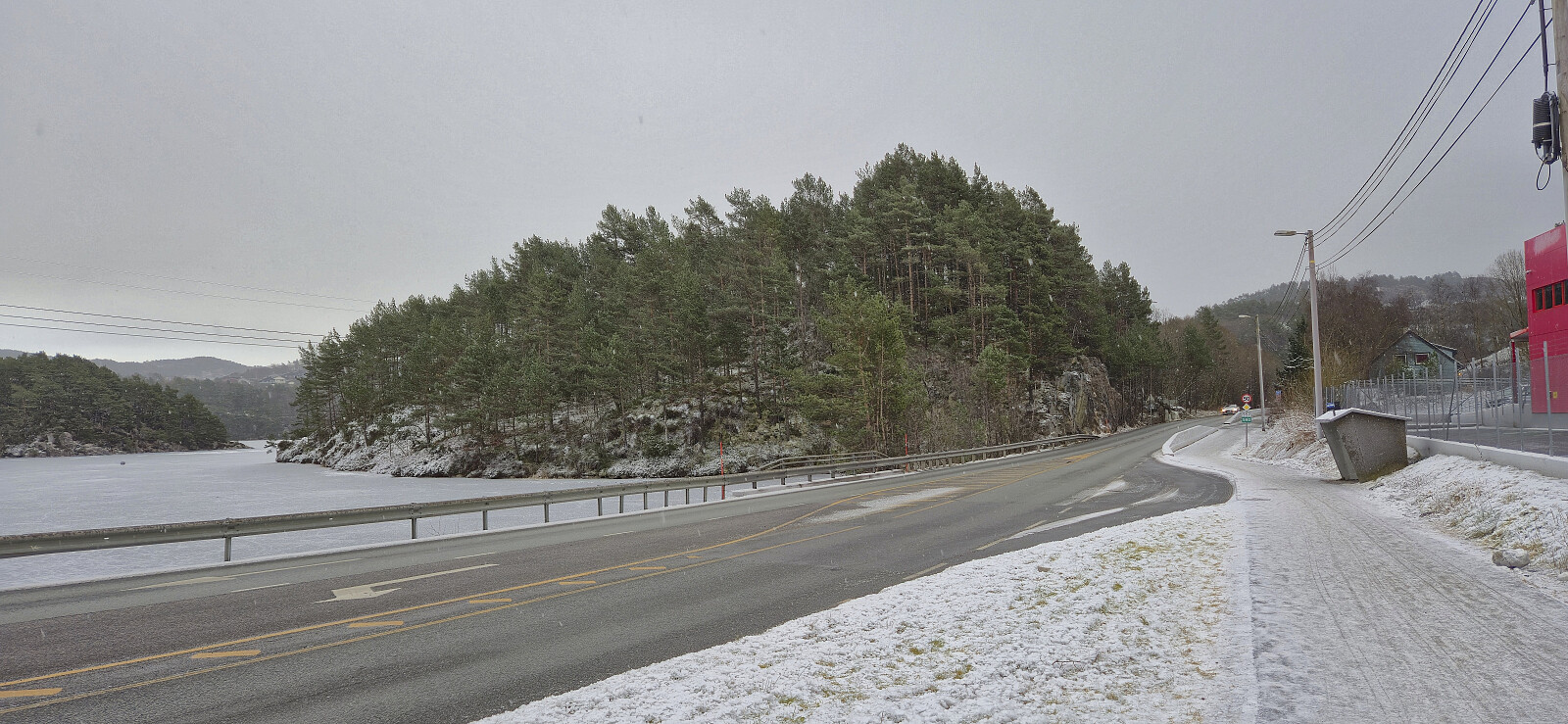
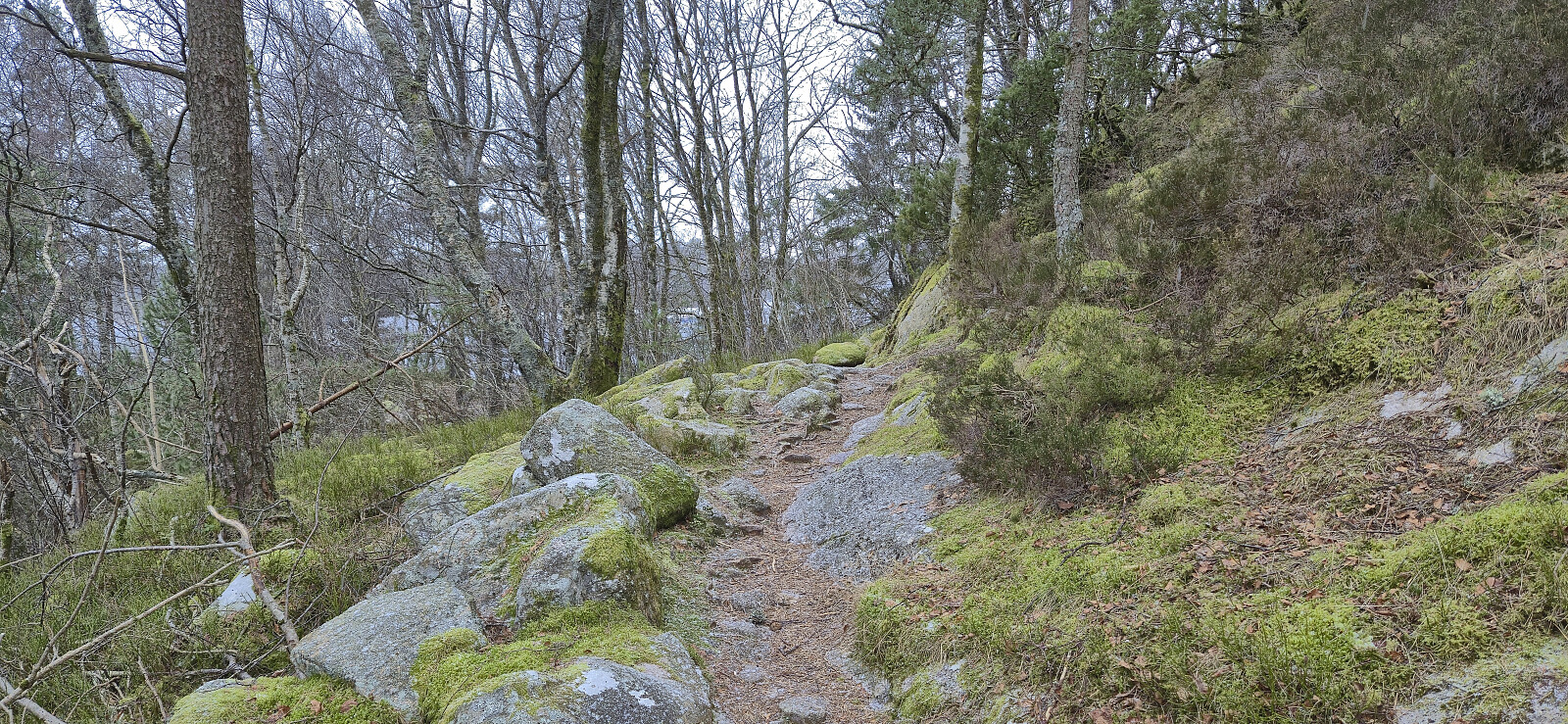
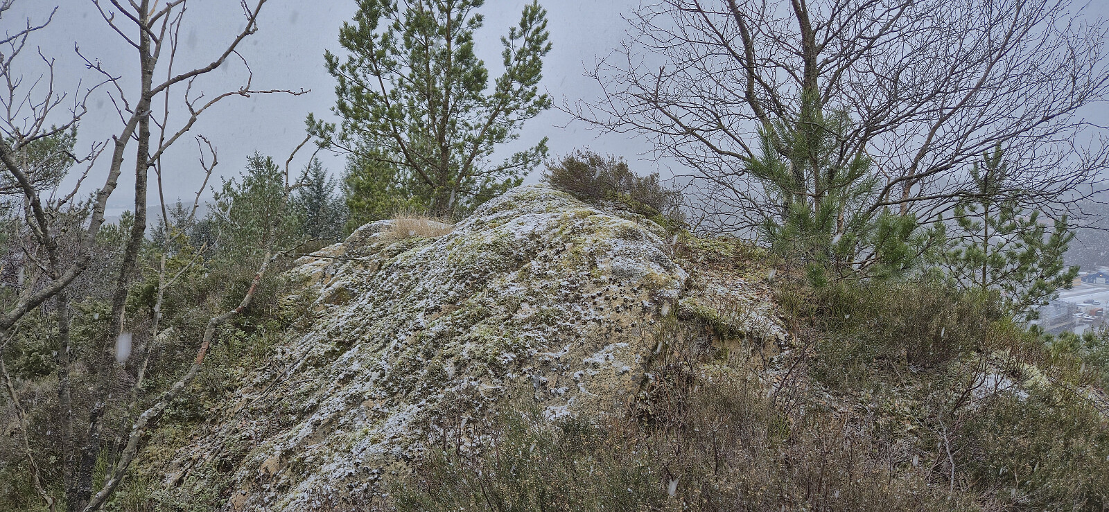
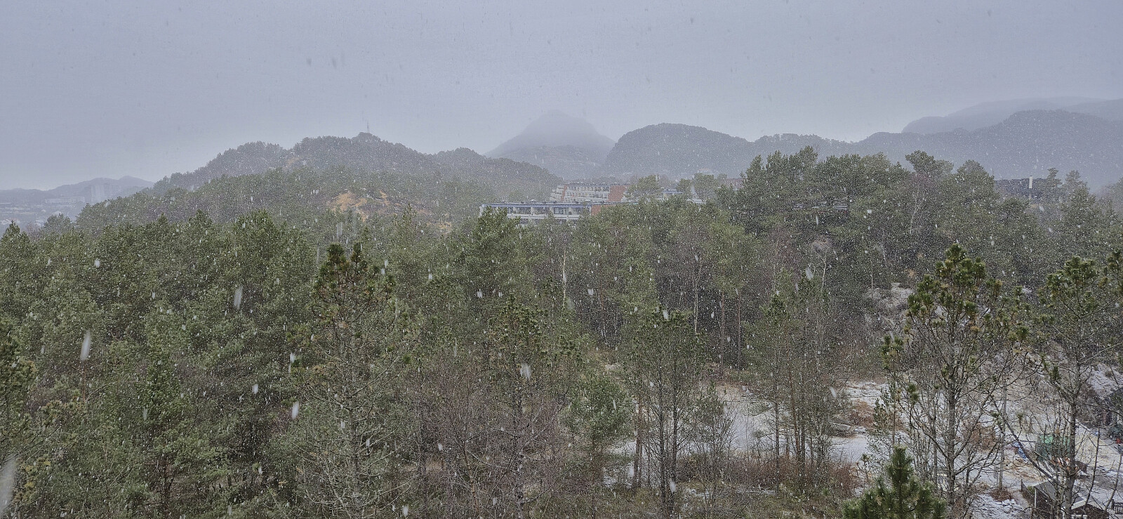
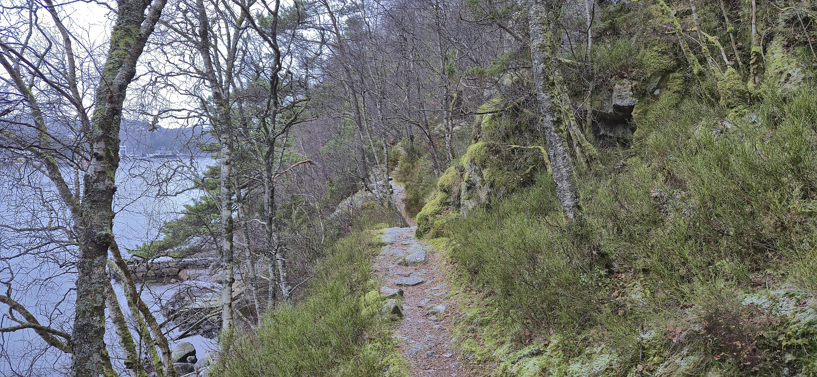
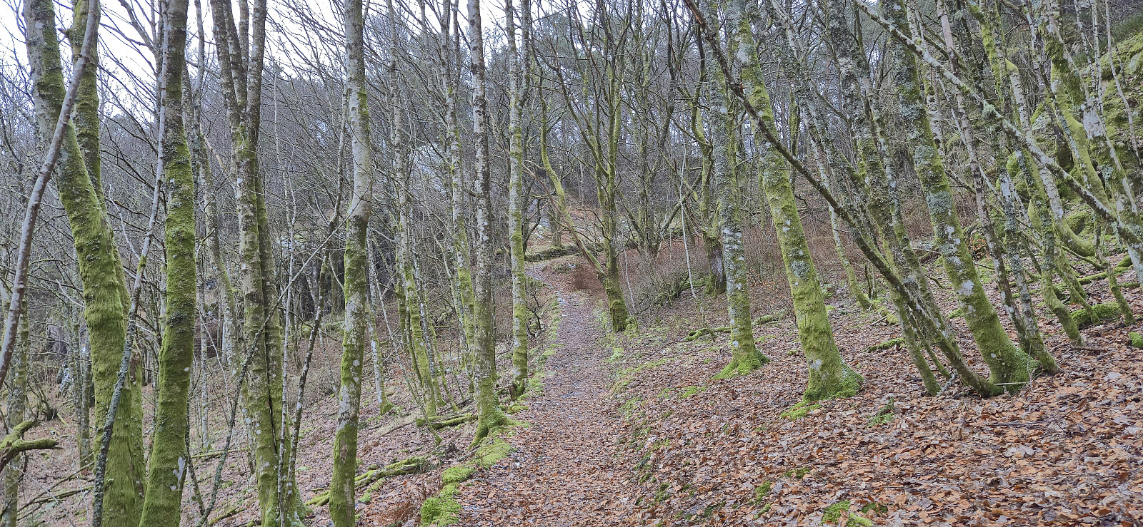
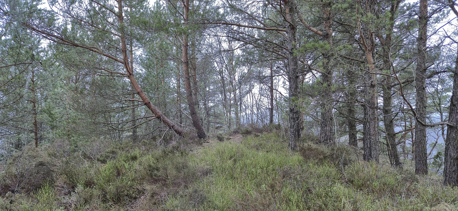
Short Saturday hike in light snow and rain exploring the area on the eastern side of Mathopsvågen. Overall a nice hike along decent trails with great views, although the off-trail ascent of Botnahaugen can be skipped without missing anything. Ørnahaugen was on the other hand a positive surprise.
| Startzeitpunkt | 07.02.2026 12:57 (UTC+01:00) |
| Endzeitpunkt | 07.02.2026 15:17 (UTC+01:00) |
| Gesamtzeit | 2h 20min |
| Zeit in Bewegung | 2h 12min |
| Pausenzeit | 0h 7min |
| Gesamtschnitt | 3,2km/h |
| Bewegungsschnitt | 3,3km/h |
| Entfernung | 7,4km |
| Höhenmeter | 298m |


Benutzerkommentare