
Ådnagavlen from Eide to Seim (29.12.2025)

Geschrieben von hbar (Harald Barsnes)

| Startpunkt | Granvin terminal (18m) |
|---|---|
| Endpunkt | Seim (32m) |
| Tourcharakter | Bergtour |
| Tourlänge | 3h 49min |
| Entfernung | 12,7km |
| Höhenmeter | 569m |
| GPS |
|
| Besteigungen | Ådnagavlen (420m) | 29.12.2025 13:18 |
|---|---|---|
| Besuche anderer PBE | Eide skyttergraver (42m) | 29.12.2025 11:58 |
| Flatneset (94m) | 29.12.2025 12:12 | |
| Øykjaskår (147m) | 29.12.2025 12:22 | |
| Ådnagavlen turbokkasse (414m) | 29.12.2025 13:10 | |
| Nesheim stasjon (27m) | 29.12.2025 15:06 |
Ådnagavlen from Eide to Seim

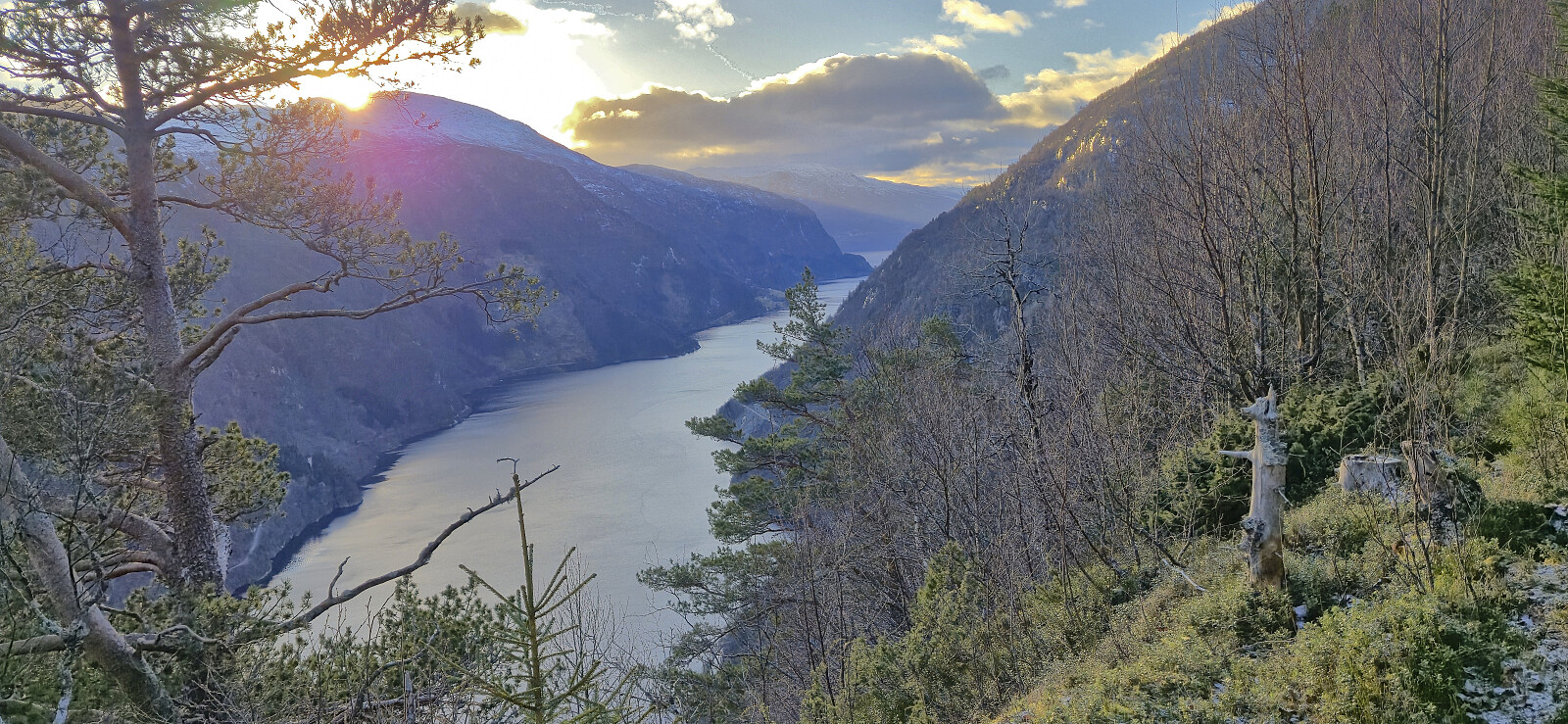
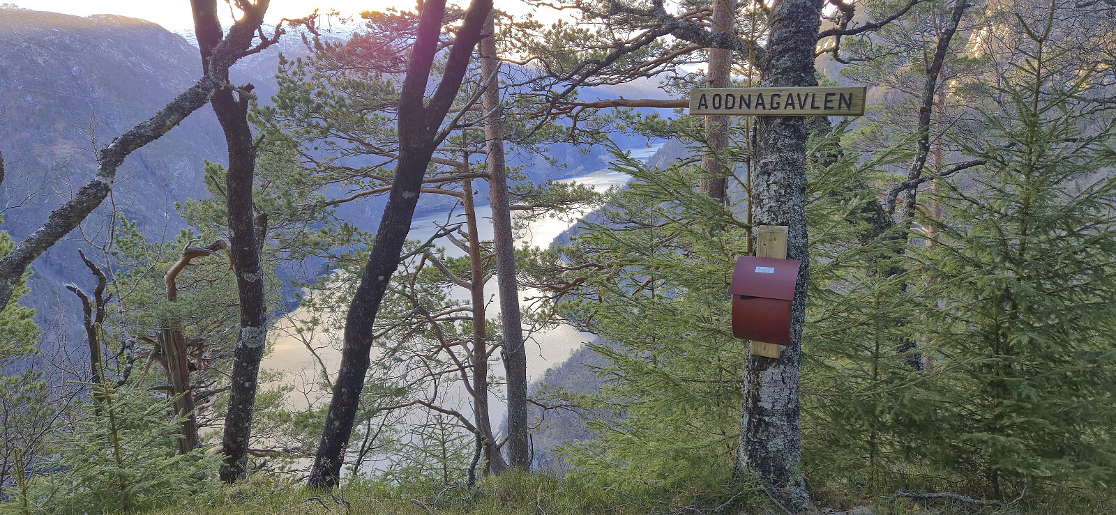
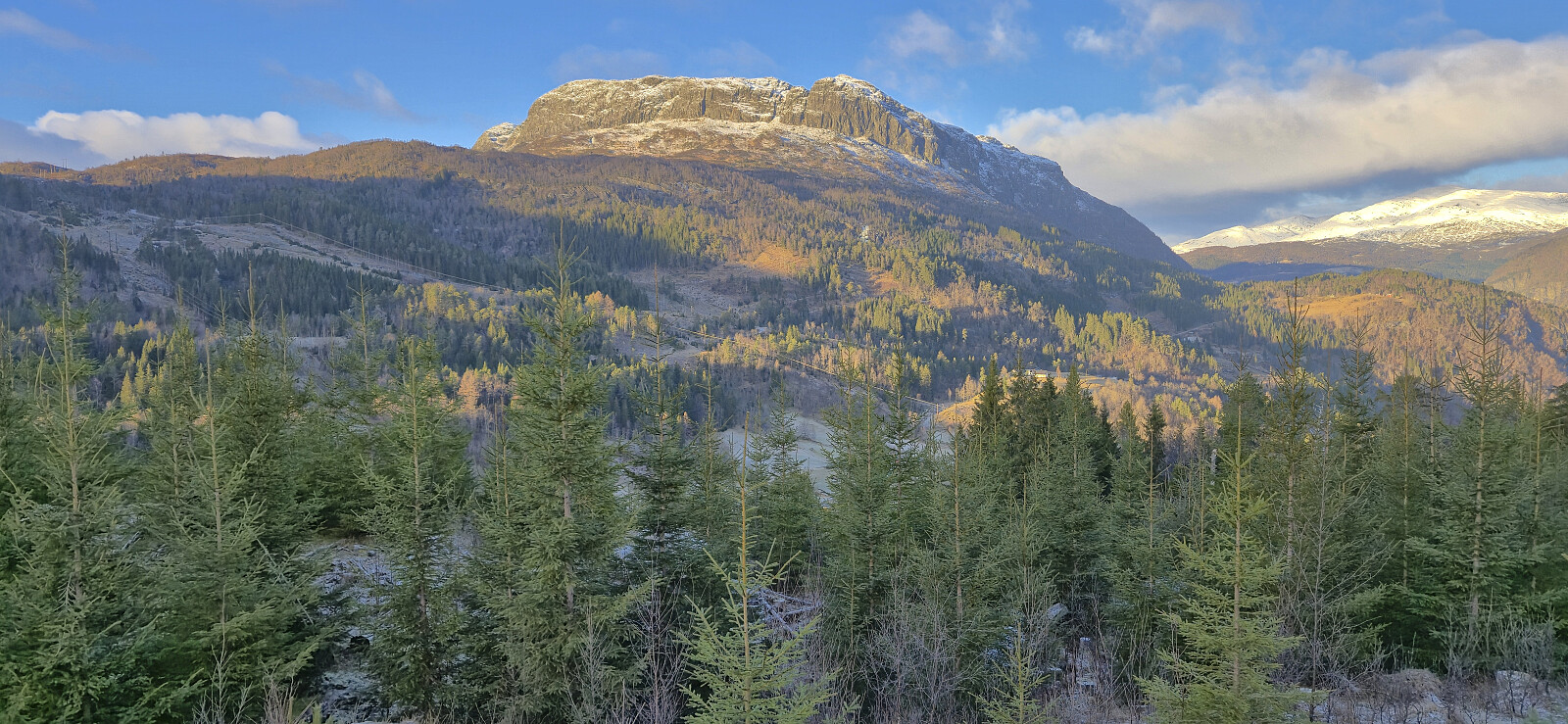
With a vertical separation of 99.5, Ådnagavlen is just shy of the 100 meters required to be part of the Hordaland ≥ 100m pf. list, and (partly) as a result it only had one previous ascent registered on PB. When preparing for my hike, I initially struggled to find any details regarding recommended trails from Eide. This however changed when learning that the locals refer to the peak as Aodnagavlen, with the most useful resource being a route description (in Norwegian) from Granvin Turlag.
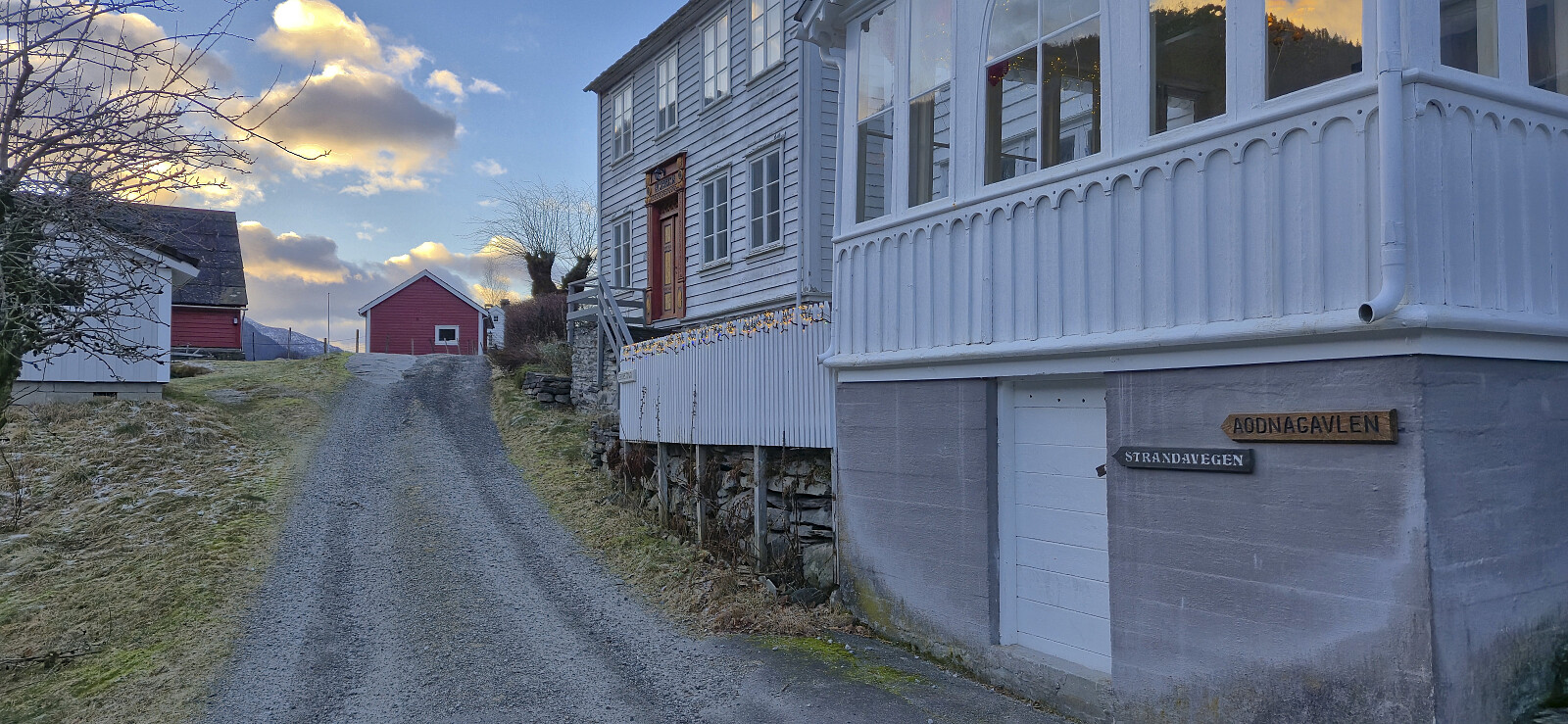
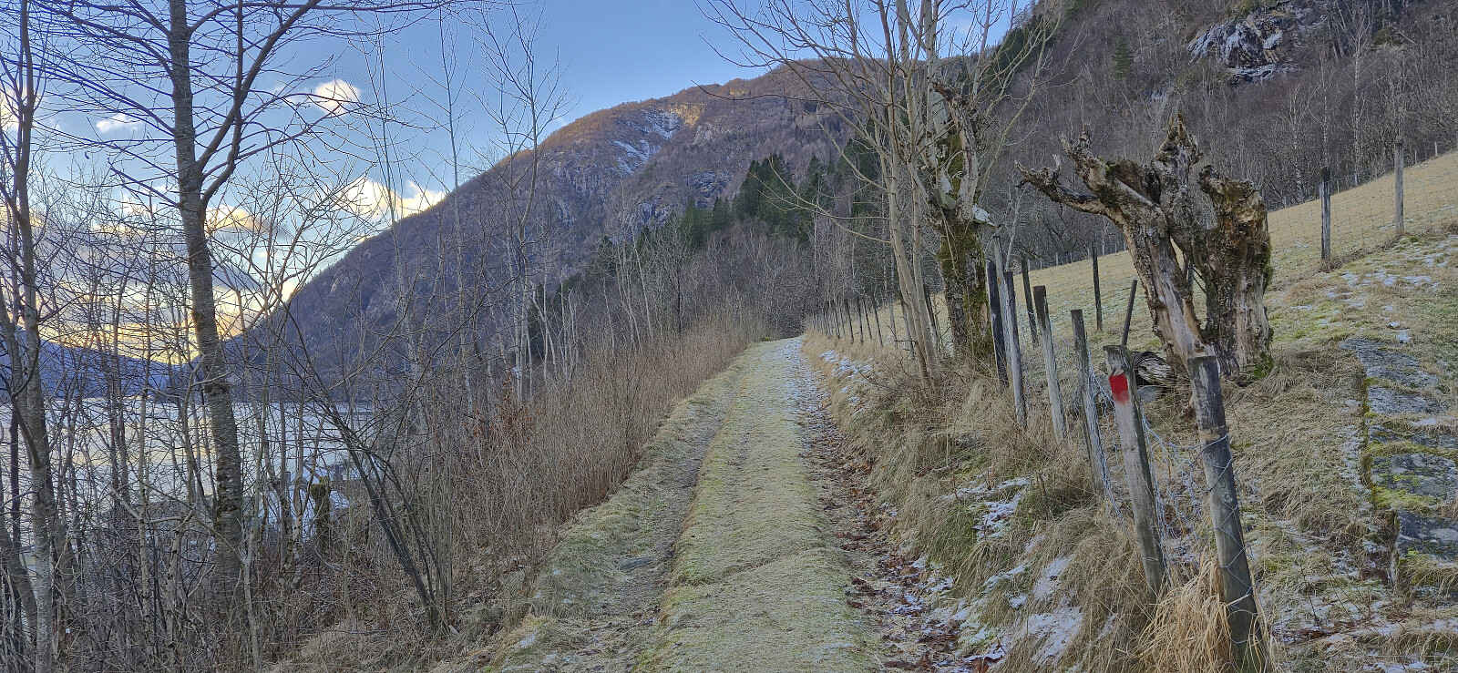
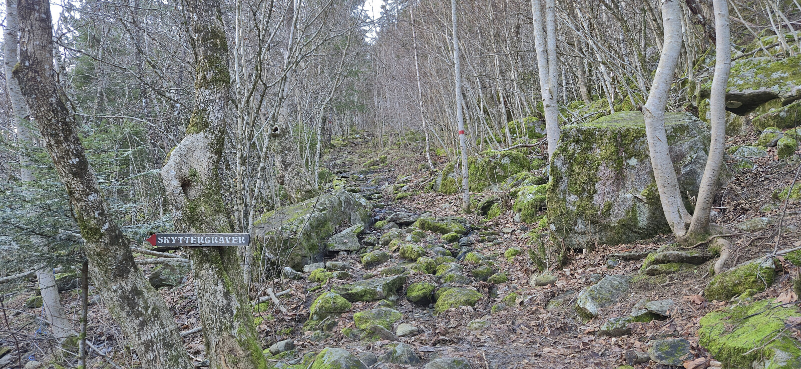
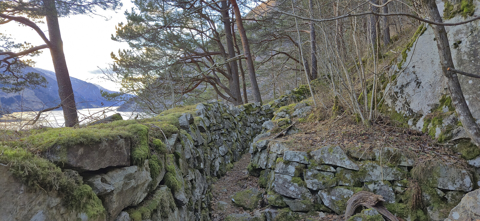
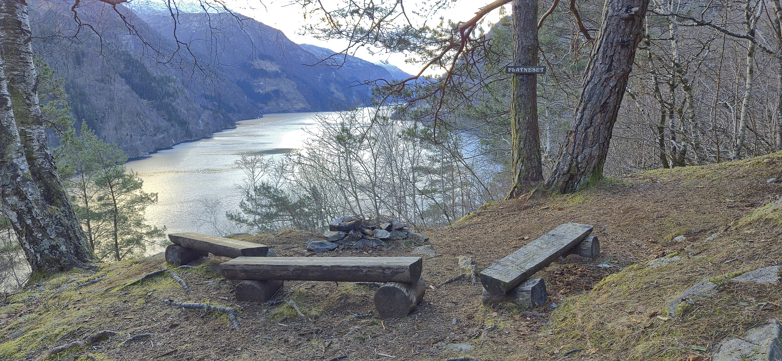
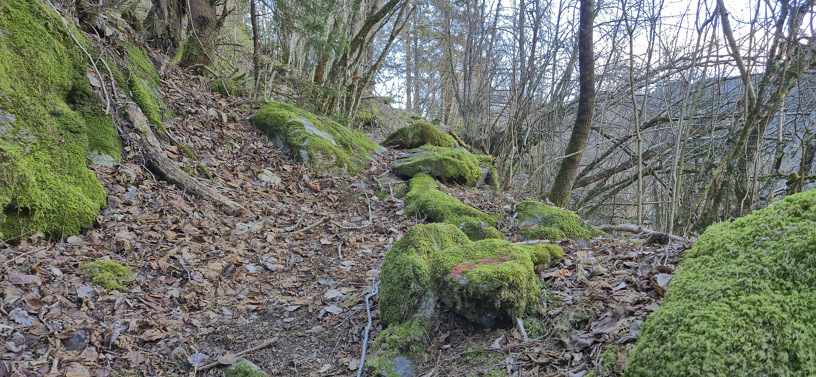
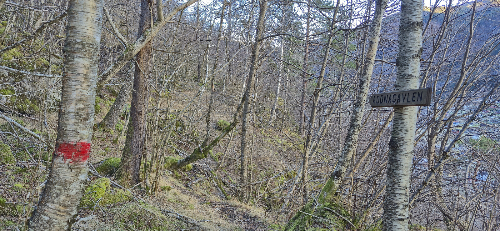
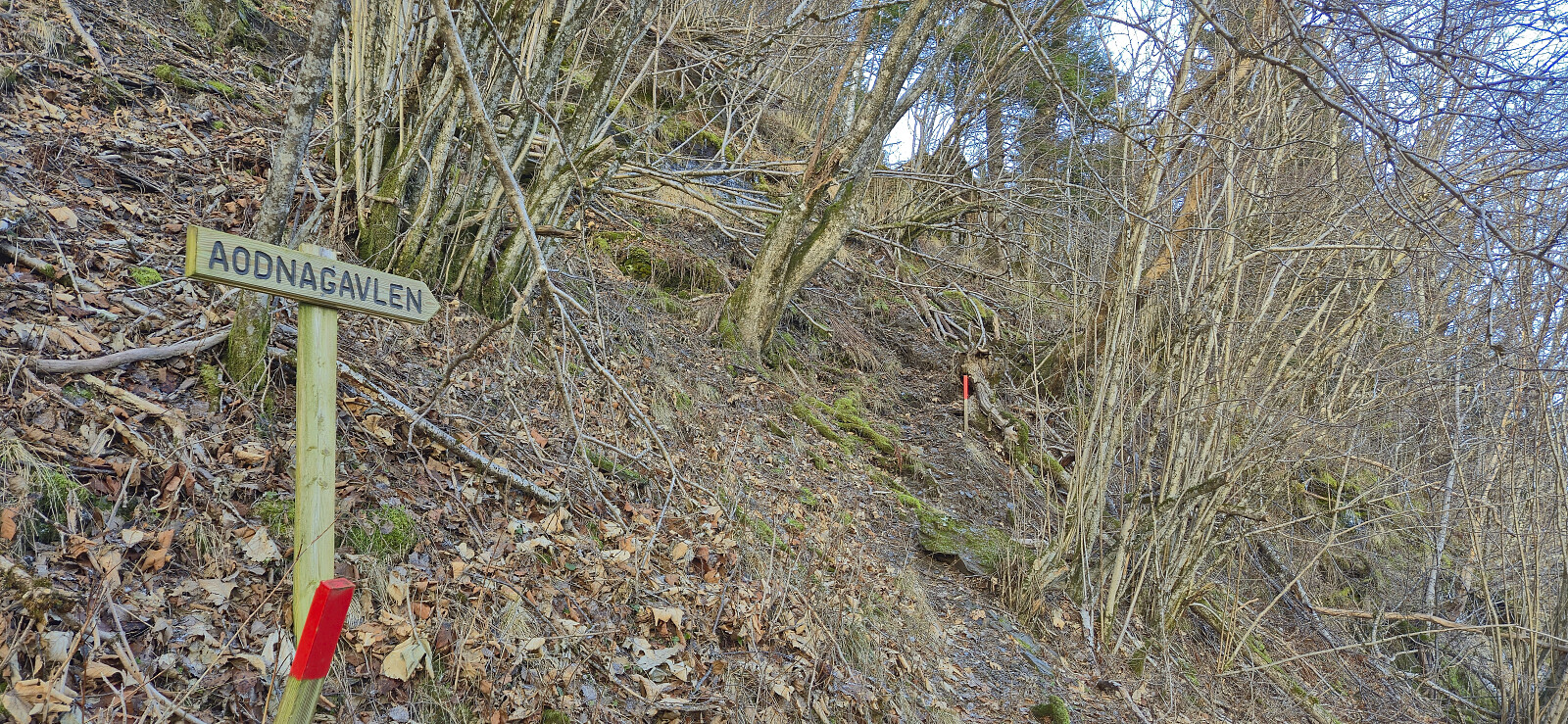
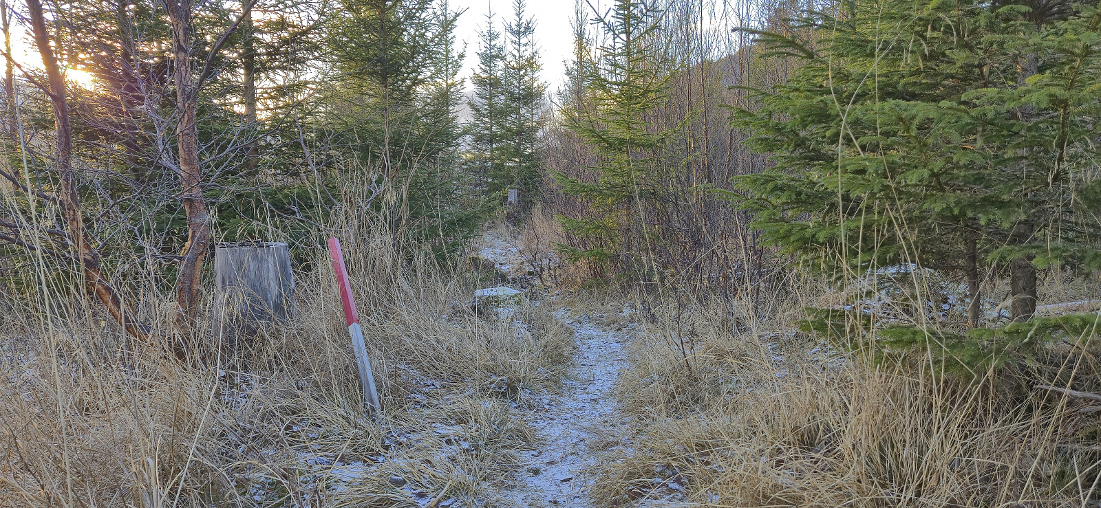
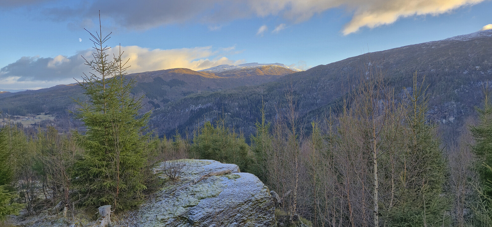
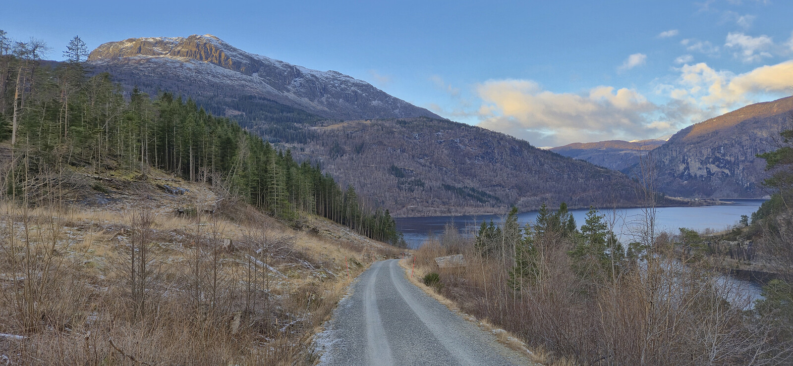
After taking the train to Voss and the bus to Granvin terminal, I continued southwest along the main road to Jaunsen Gjestgjevarstad where I came across the first sign for Aodnagavlen. From there on it was relatively straightforward to follow the red trail markers. As recommended in the route description I however left the marked trail for a short detour along the impressive world war II trenches south of the trail, before following yellow plastic markers to reconnect with the main trail near Flatneset.
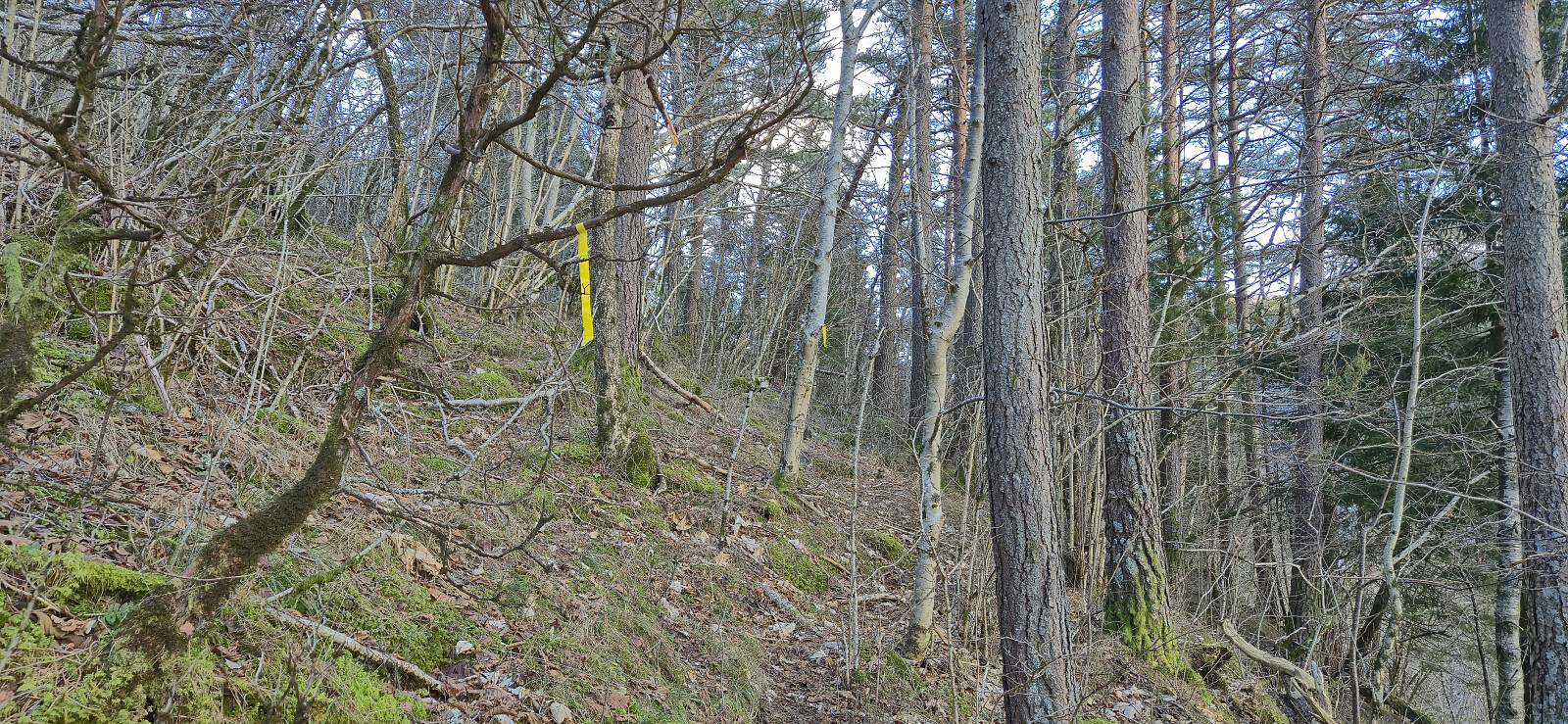
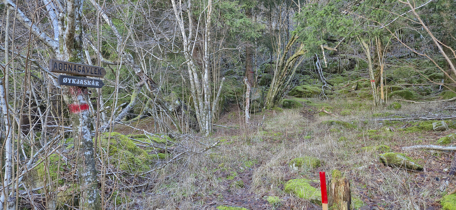
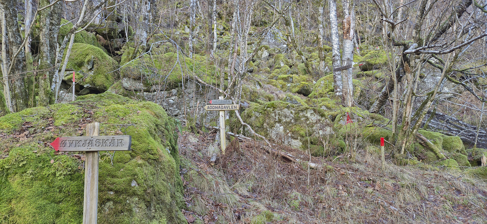
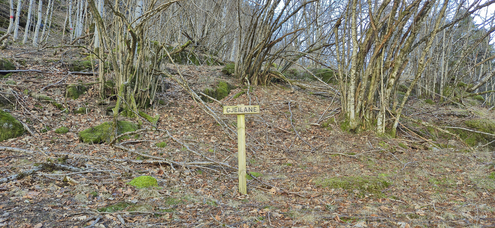
From the benches at Flatneset, the trail shortly ascended north before turning east to Øykjaskår where there was a visitor register. Another sign for Aodnagavlen and more red trail markers then took me further east. Here the trail was descending more than I had expected, but just as I started to consider turning back to see if I had missed a fork in the trail, I came across a crossroads with not one, but two trails marked with Aodnagavlen.
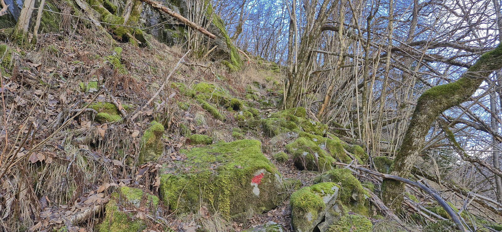
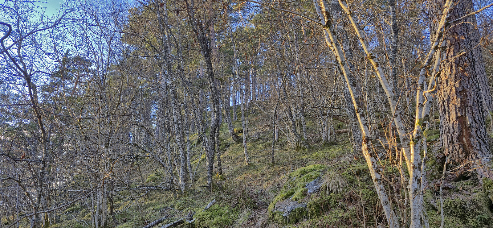
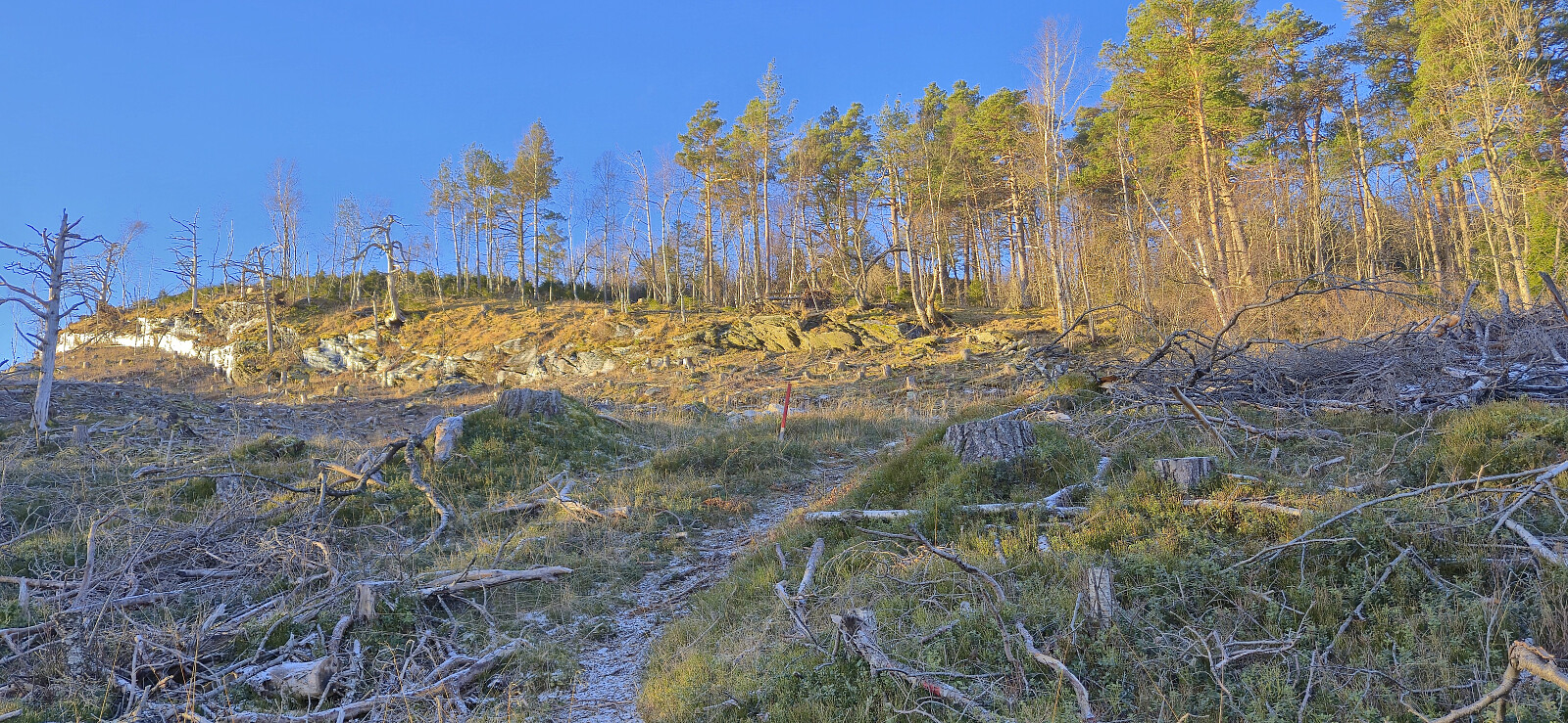
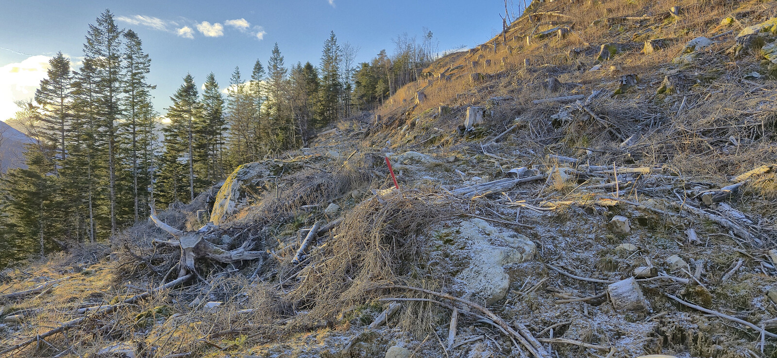
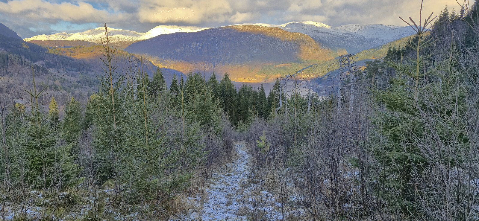
As the above-mentioned route description did not provide any hints as to which was the recommended option, I randomly picked the one heading via Gjeilane, and at least this one could be followed without any problems until the terrain levelled off northeast of the summit. Here I had to pass through an area with recent logging activity which resulted in briefly losing the markers, but upon relocating them the trail could be easily followed to a visitor register southwest of the summit.
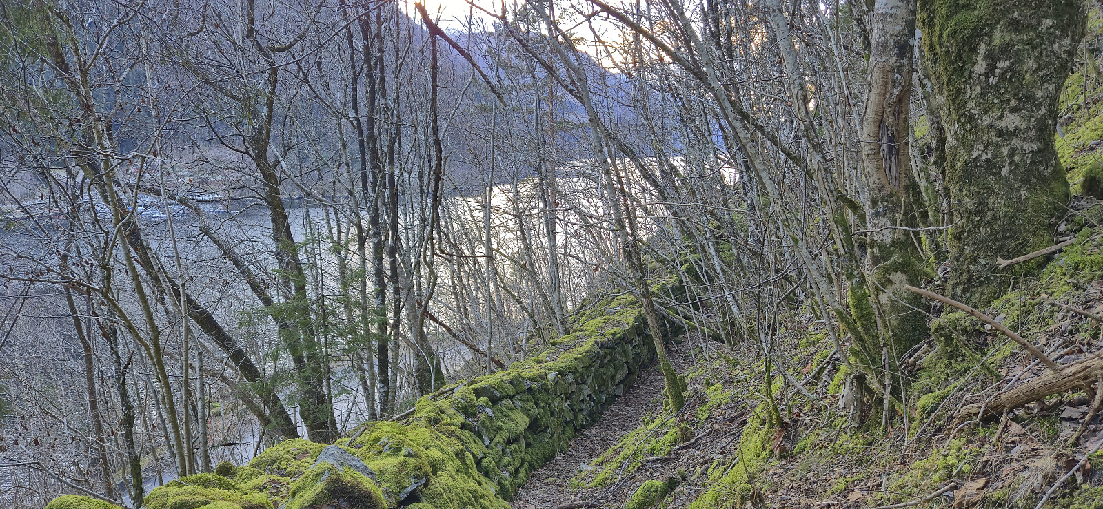
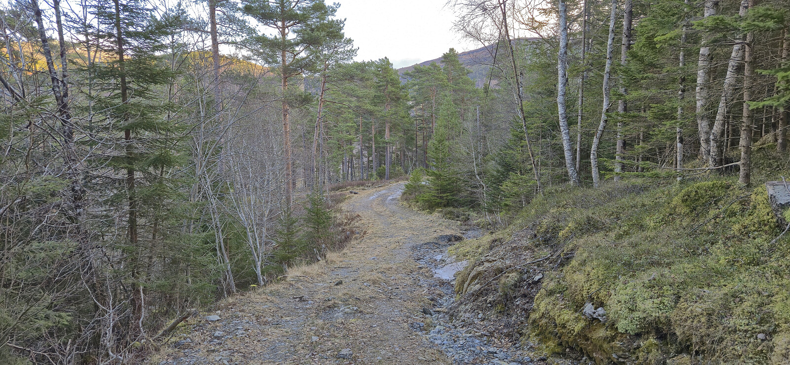
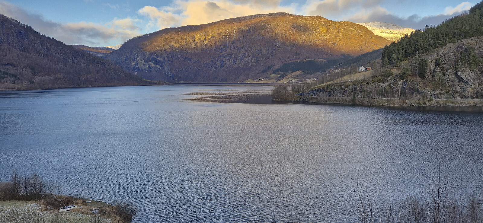
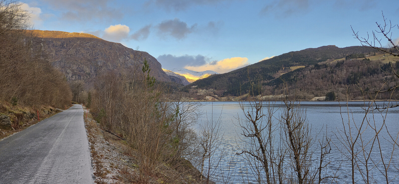
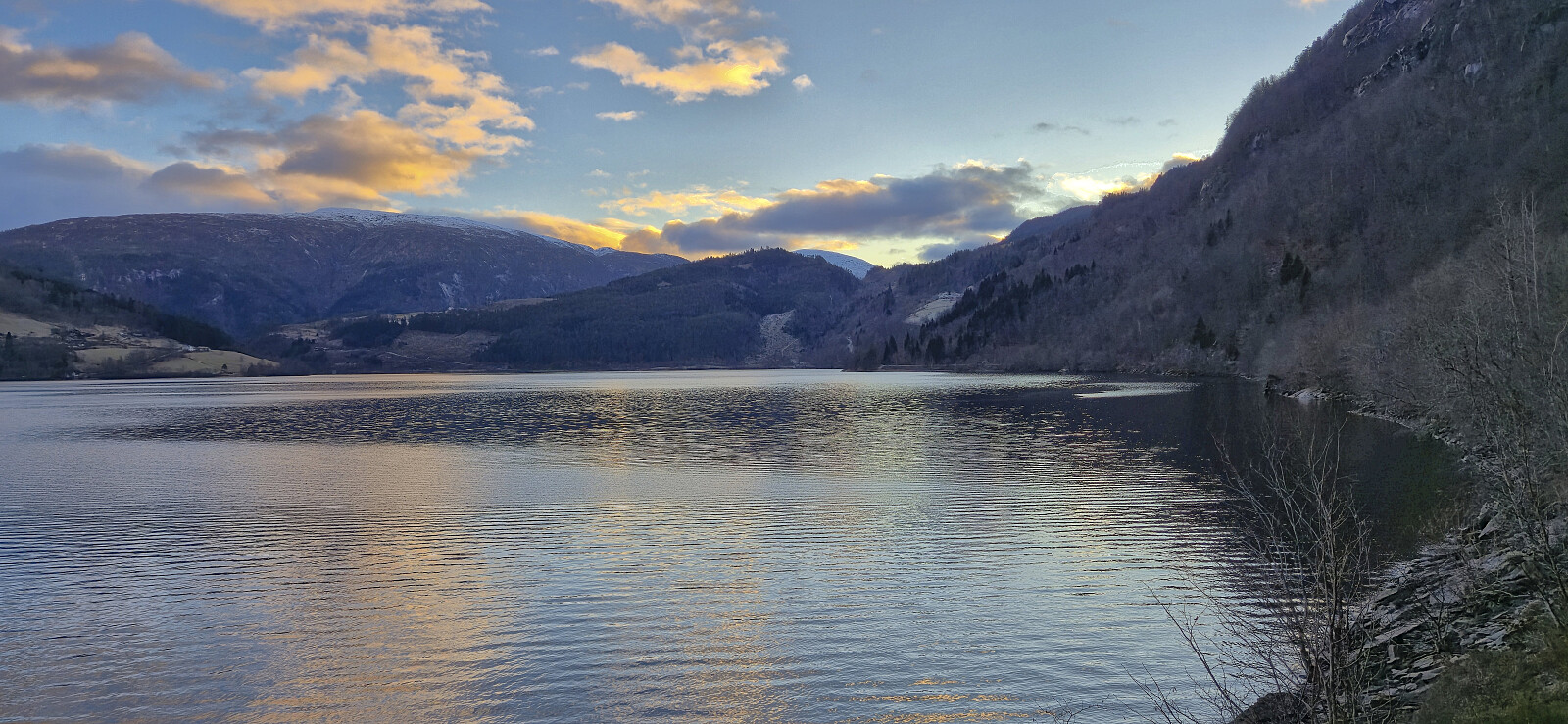
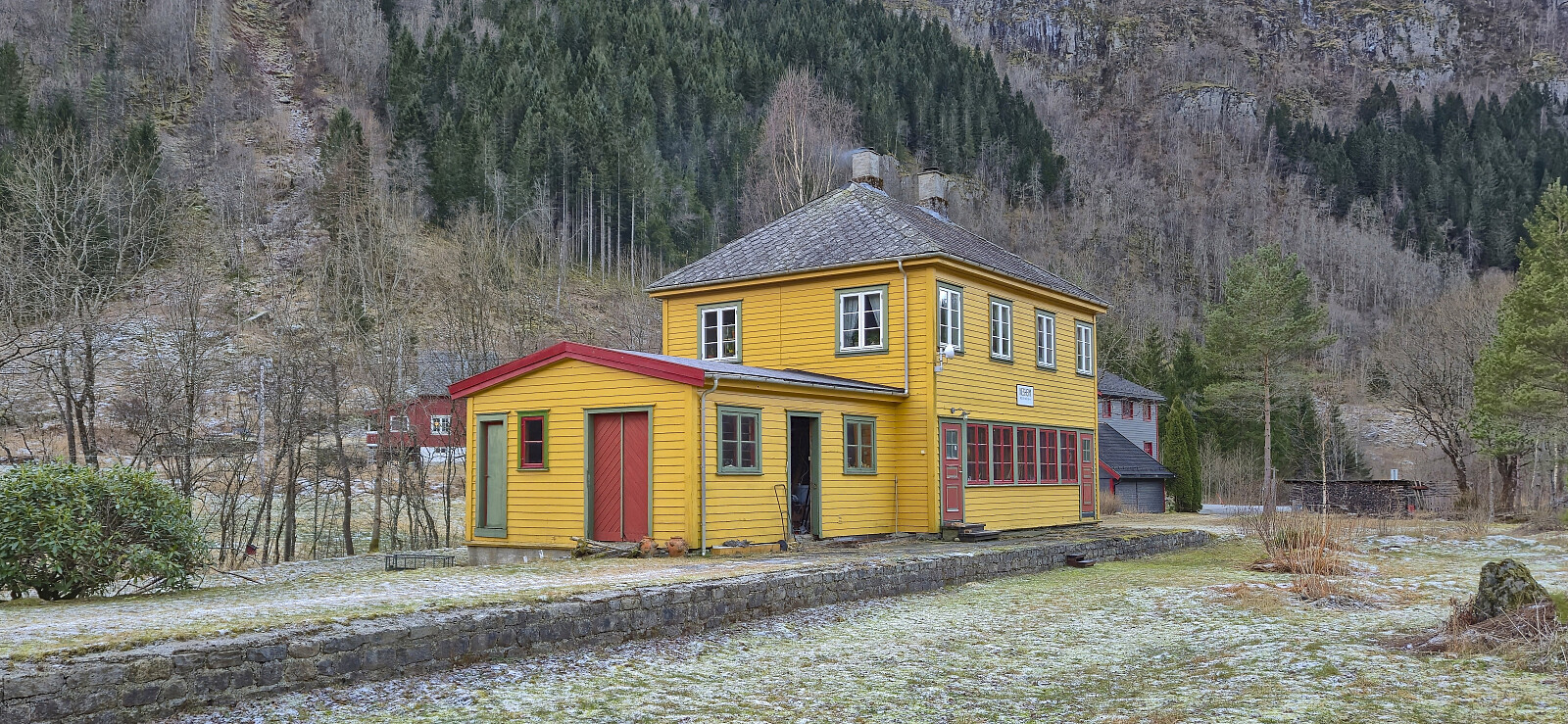
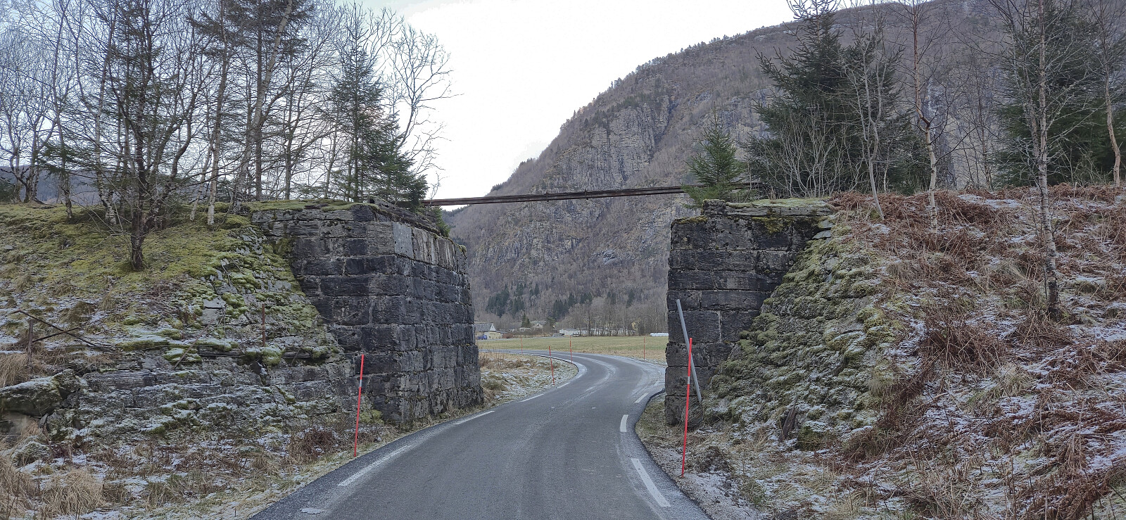
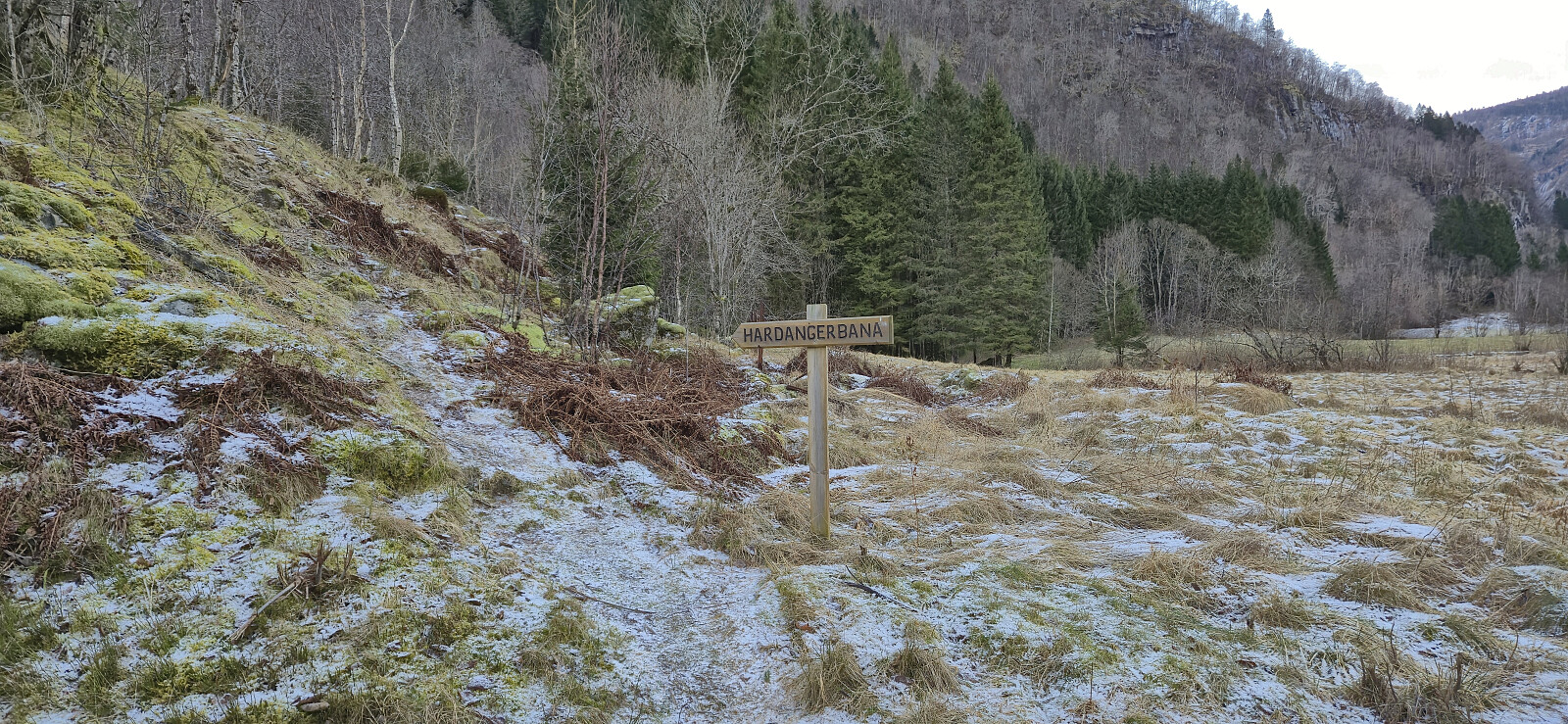
After a quick detour to the highest point I returned to the marked trail and followed it northeast where it later turned into a tractor road leading me to the gravel road north of Nestås. Here I could have completed the roundtrip by returning to Granvin, but I still had plenty of time for the planned bus and instead walked along the cycling and walking path on the westside of Granvinsvatnet to Seim. This took me along the route of the discontinued Hardangerbana, with the most visible evidence being the old station building at Nesheim. I also had a quick look at what was left of the track north of the station.
In summary, a great hike with excellent views and with a bit of history as a bonus.


| Startzeitpunkt | 29.12.2025 11:43 (UTC+01:00) |
| Endzeitpunkt | 29.12.2025 15:33 (UTC+01:00) |
| Gesamtzeit | 3h 49min |
| Zeit in Bewegung | 3h 15min |
| Pausenzeit | 0h 34min |
| Gesamtschnitt | 3,3km/h |
| Bewegungsschnitt | 3,9km/h |
| Entfernung | 12,7km |
| Höhenmeter | 568m |
Note: The GPS took a break from shortly after the crossroads east of Øykjaskår until just before the terrained levelled off. This part of the route has therefore been recreated from memory and may not be 100% correct, however the marked trail was easy to follow and the track should not really be needed anyway.


Benutzerkommentare