
Piltevarden roundtrip (30.11.2025)

Geschrieben von hbar (Harald Barsnes)

| Startpunkt | Mjømna kirke p-plass (3m) |
|---|---|
| Endpunkt | Mjømna kirke p-plass (3m) |
| Tourcharakter | Bergtour |
| Tourlänge | 1h 10min |
| Entfernung | 4,3km |
| Höhenmeter | 238m |
| GPS |
|
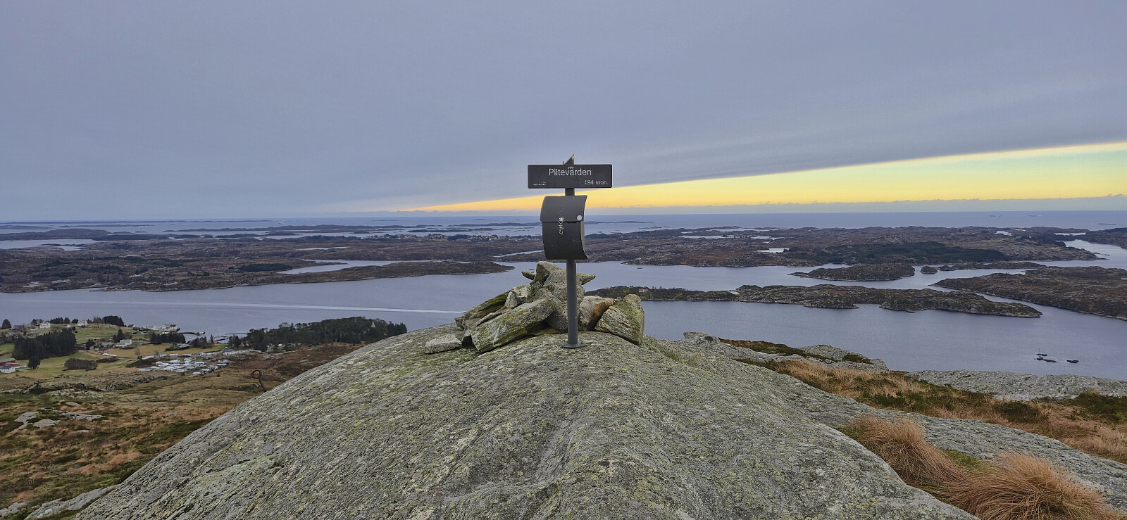
| Besteigungen | Piltevarden (194m) | 30.11.2025 11:47 |
|---|
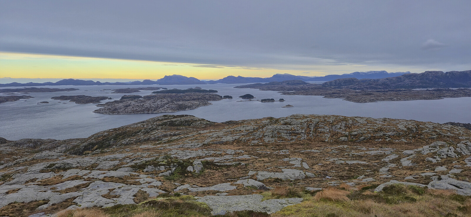
Piltevarden roundtrip
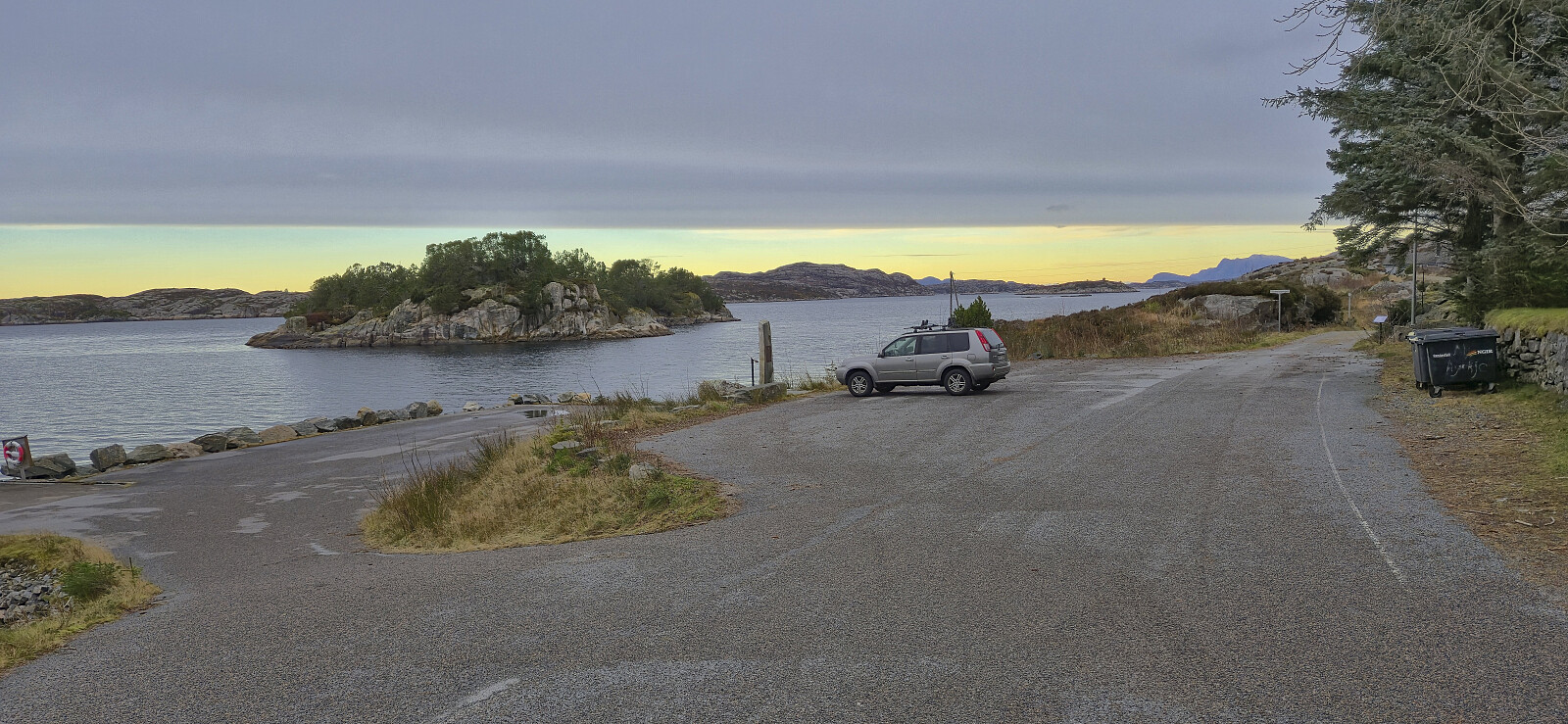
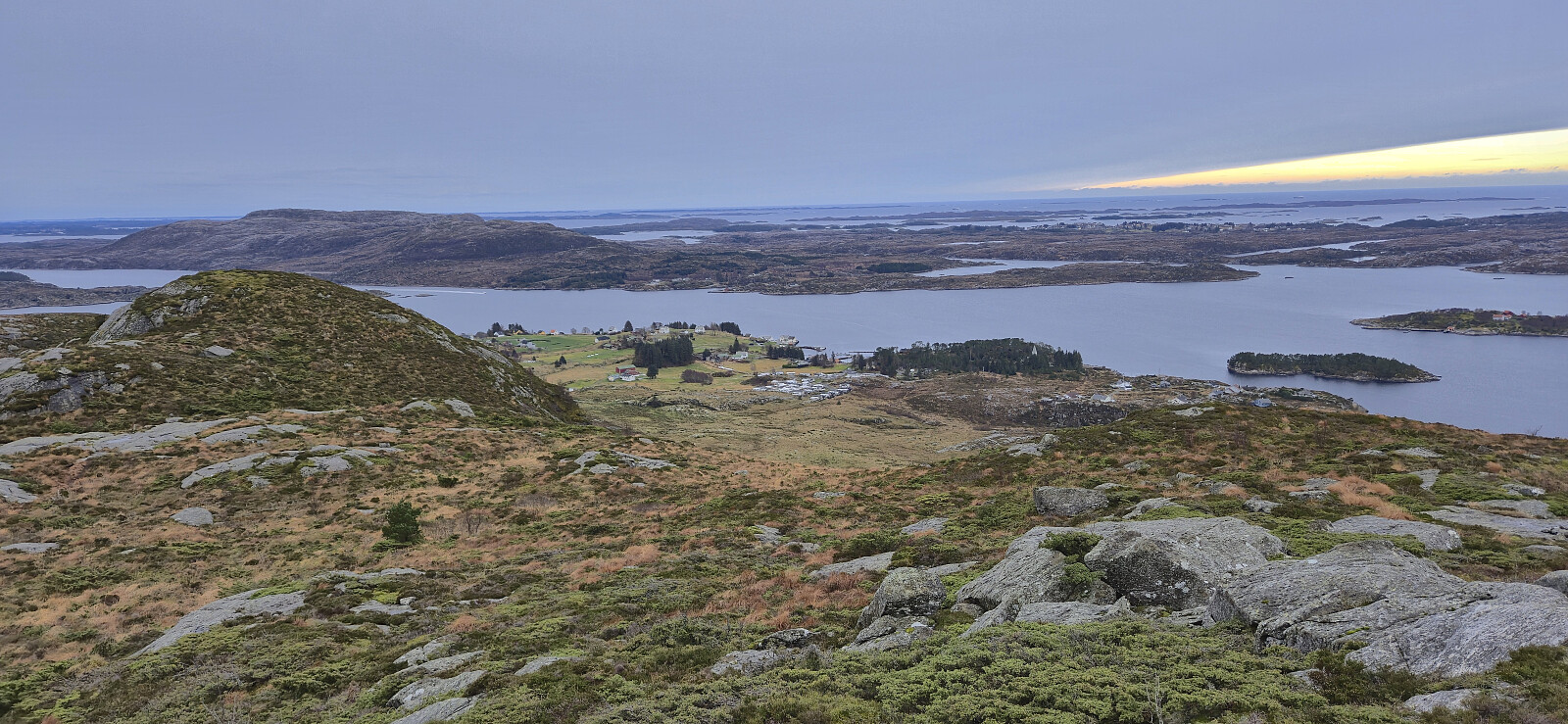
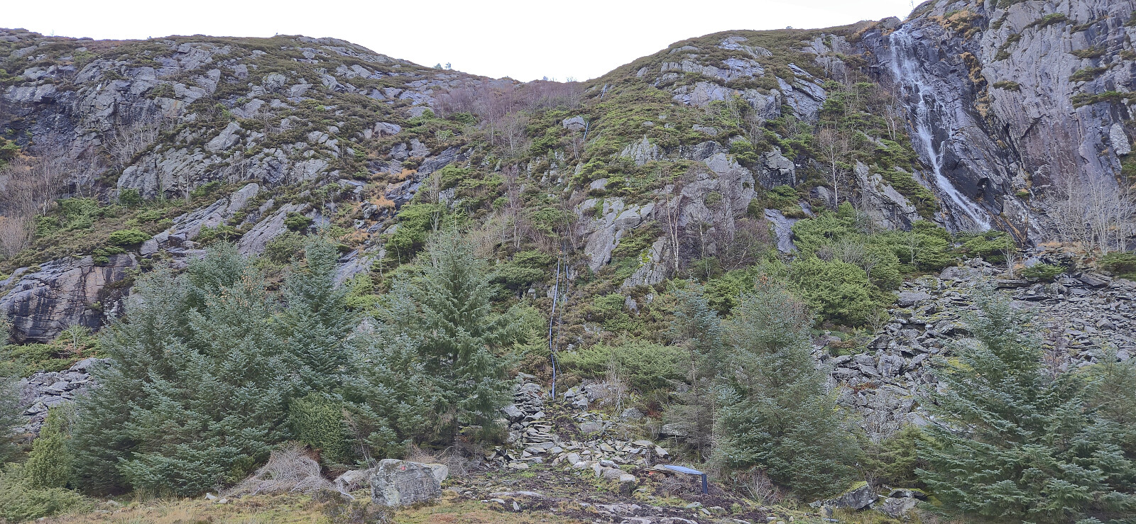
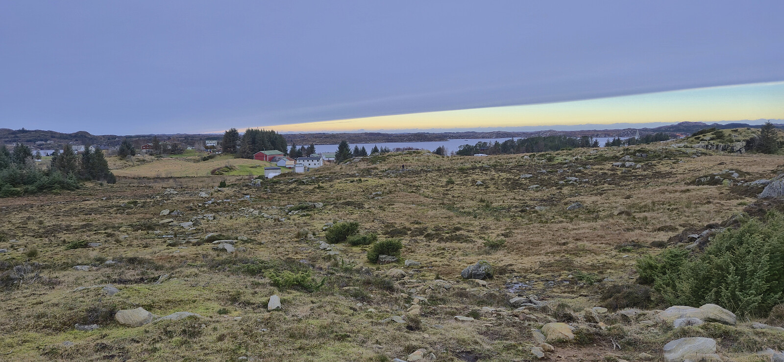
After our ascent of Byrknesveten, we drove north to Mjømna where we found parking next to the Mjømna kyrkje to ascent Piltevarden. There was a sign saying that the parking lot was only for visitors of the church or the connected graveyard, but as we were not staying long and there were no other cars, we assumed it was still ok.
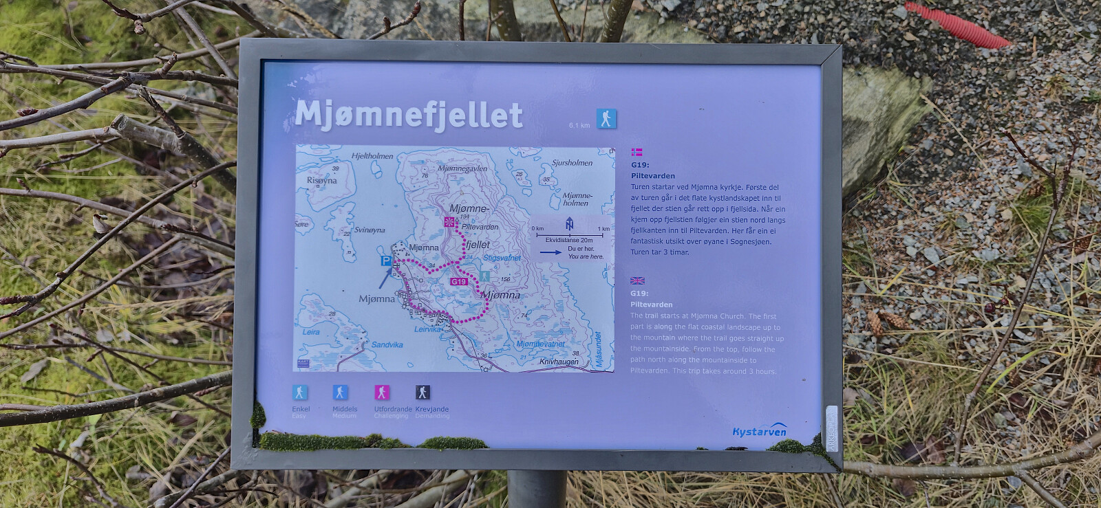
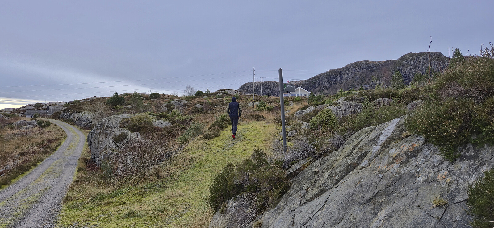
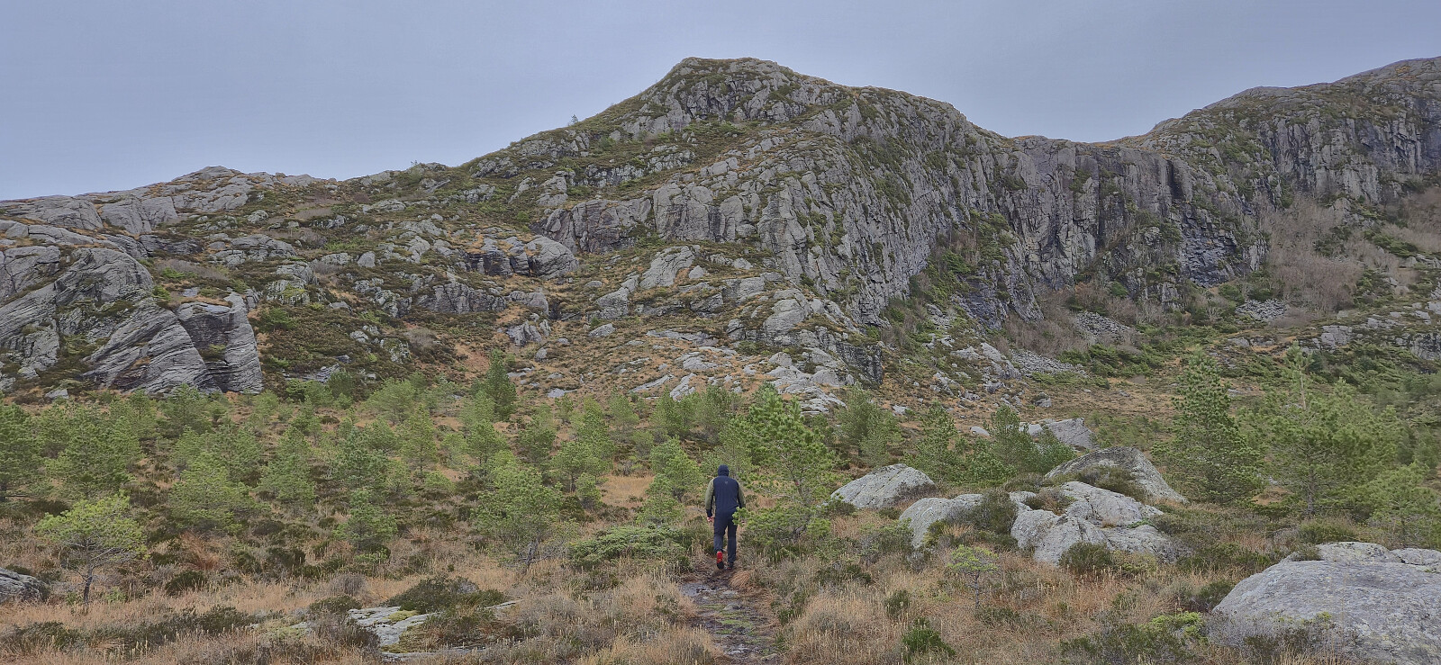
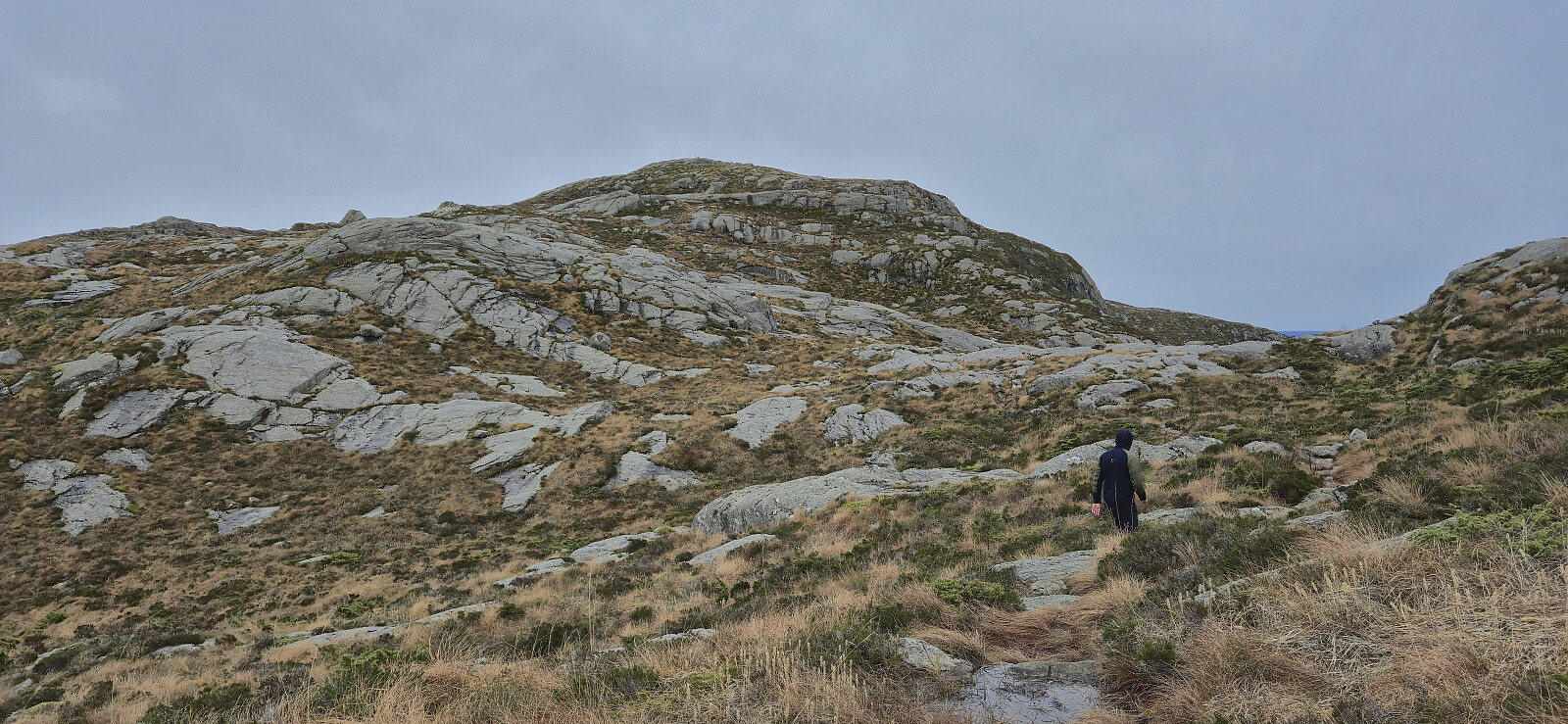
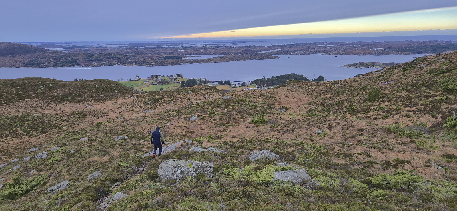
We had initially intended to follow the most direct route to the summit but ended up missing a fork in the marked trail early on and therefore decided to instead turn the hike into a short roundtrip. This would first take us north along the sea before later turning east and finally south to the summit, all the time along a marked trail.
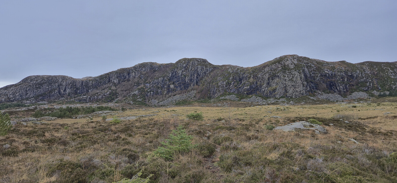
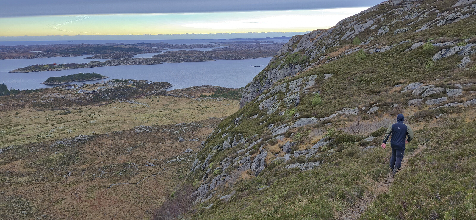
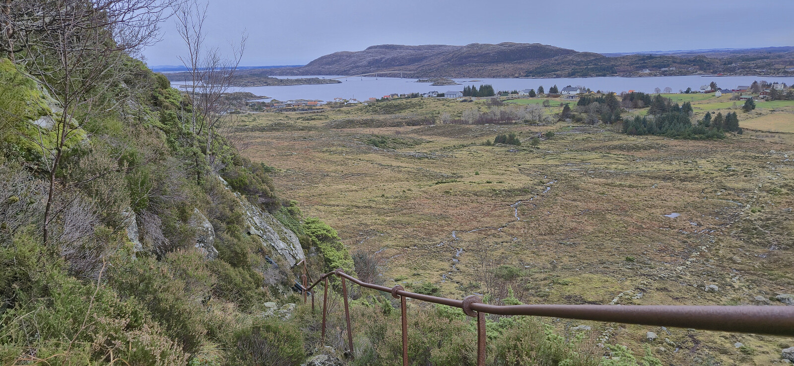
From the summit we followed our intended ascent route taking us via a steep but unproblematic descent. We ended up losing the marked trail shortly after the steep descent but at that point we could easily connect with the paved road which we then followed back to the car. Next, we drove east to Vassvikdalen to ascend Lifjellet.
| Startzeitpunkt | 30.11.2025 11:10 (UTC+01:00) |
| Endzeitpunkt | 30.11.2025 12:21 (UTC+01:00) |
| Gesamtzeit | 1h 10min |
| Zeit in Bewegung | 1h 06min |
| Pausenzeit | 0h 4min |
| Gesamtschnitt | 3,7km/h |
| Bewegungsschnitt | 3,9km/h |
| Entfernung | 4,3km |
| Höhenmeter | 237m |


Benutzerkommentare