
Folgefonna to Jondal via Storafjellet and Grytingsfjellet (02.08.2025)

Geschrieben von hbar (Harald Barsnes)

| Startpunkt | Fonna Skisenter p-plass (1.198m) |
|---|---|
| Endpunkt | Jondal fergekai (2m) |
| Tourcharakter | Bergtour |
| Tourlänge | 6h 58min |
| Entfernung | 23,8km |
| Höhenmeter | 756m |
| GPS |
|
| Besteigungen | Storafjellet (1.132m) | 02.08.2025 12:44 |
|---|---|---|
| Grytingsfjellet (1.091m) | 02.08.2025 14:44 | |
| Besuche anderer PBE | Fonna Skisenter p-plass (1.198m) | 02.08.2025 10:56 |
| Hestadalen p-plass (851m) | 02.08.2025 11:50 | |
| Kvålsbotnen (760m) | 02.08.2025 15:35 | |
| Fonnavegen (328m) | 02.08.2025 16:33 |
Folgefonna to Jondal via Storafjellet and Grytingsfjellet
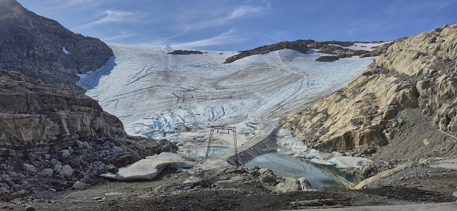
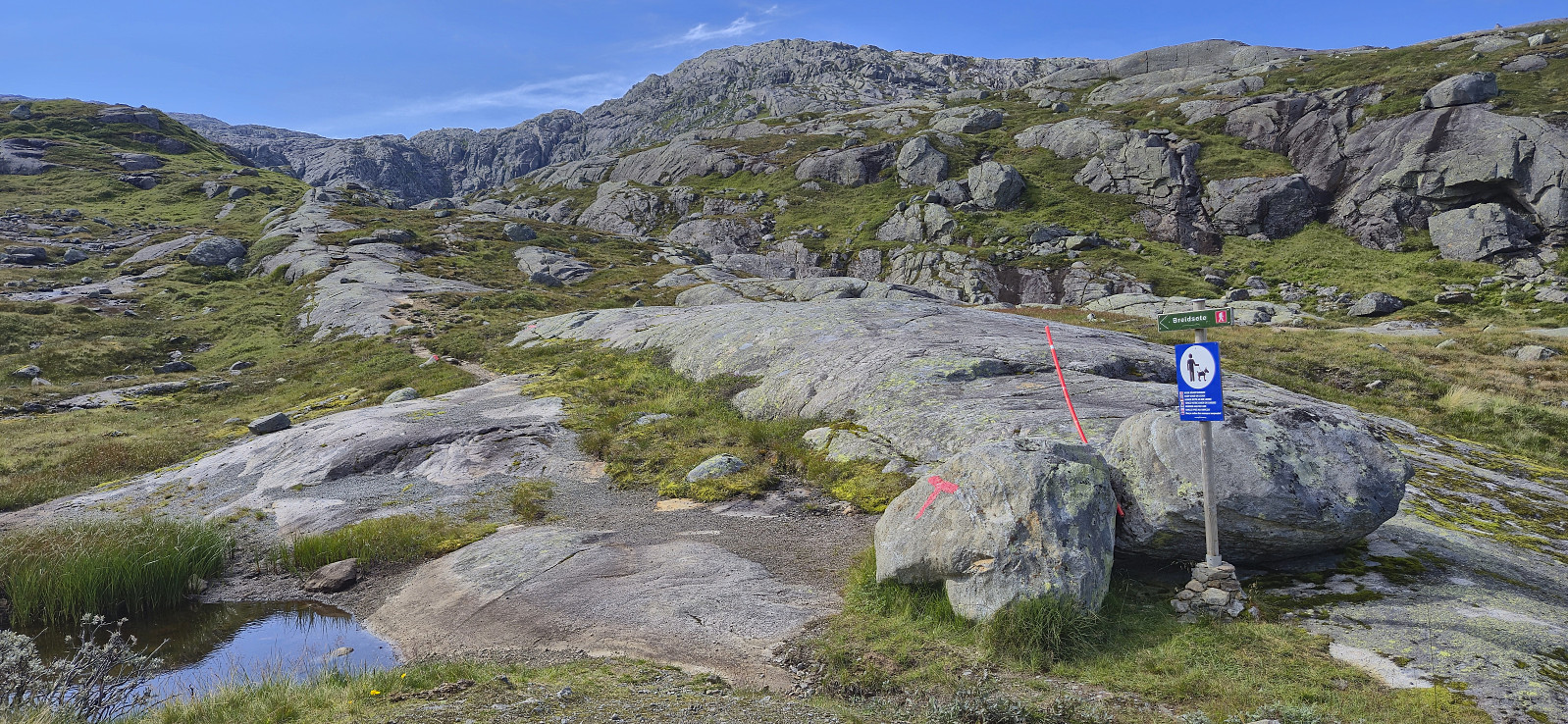
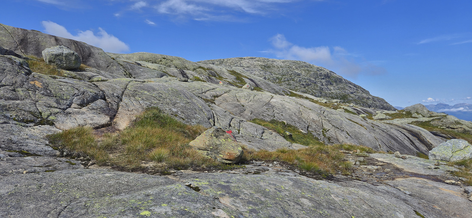
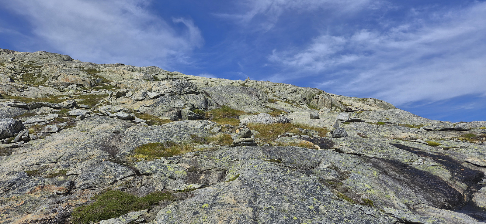
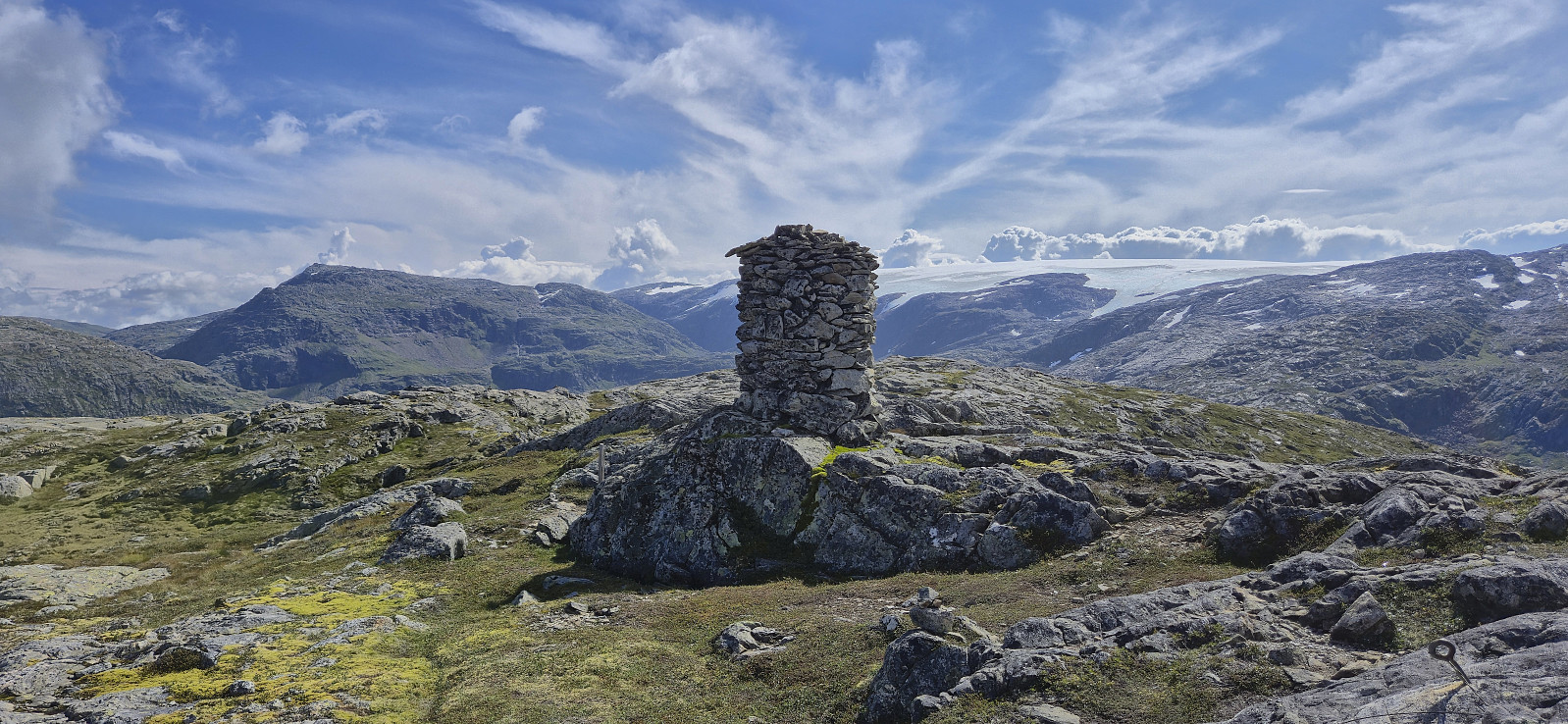
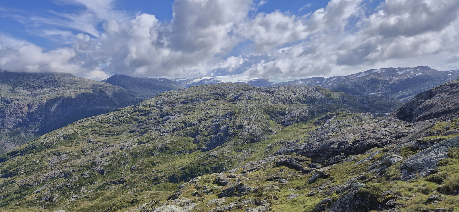
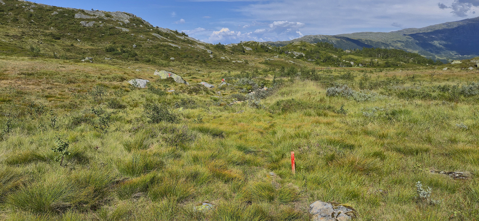
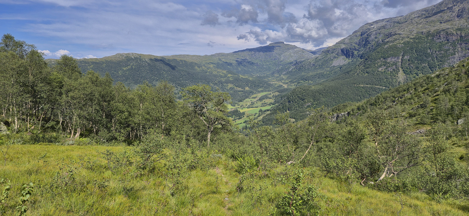
I started my journey by taking the bus to Norheimsund, the passenger ferry to Herand and finally a second bus via Jondal up to Folgefonna Skisenter. From the parking lot at the ski center I returned along the paved road down to Hestadalen p-plass. Here I continued on a trail marked with red T's towards Breidsete before shortly starting my off-trail ascent to Storafjellet. Or so I thought. Very quickly I however came across another trail marked with small cairns that led me all the way to the summit, hence it ought to be possible to stay on a trail all the way from the paved road.
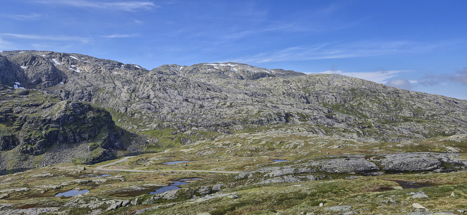
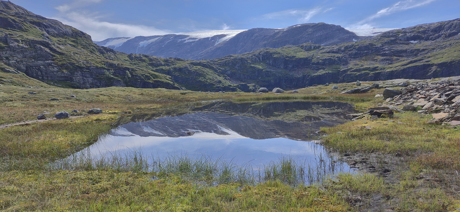
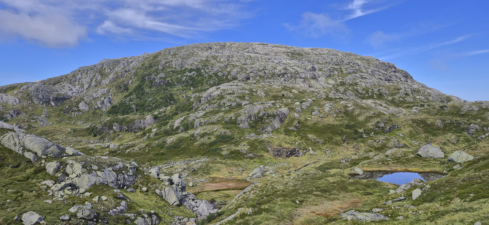
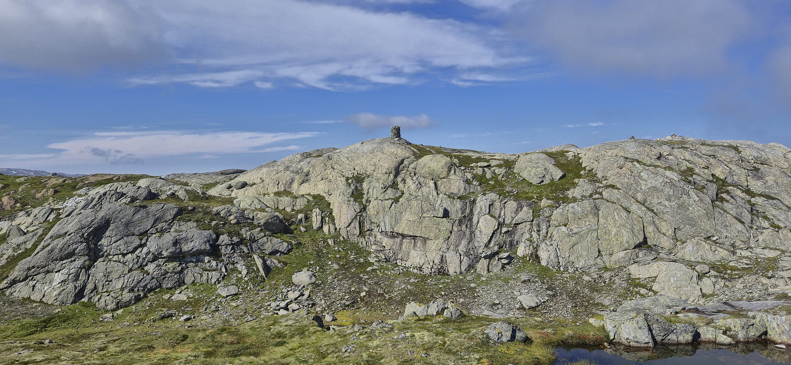
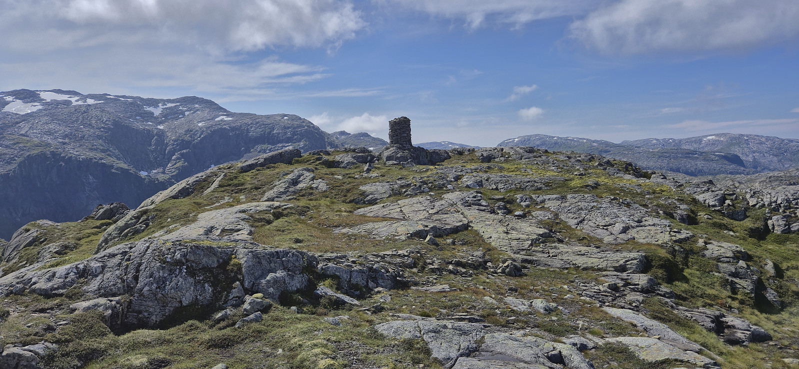
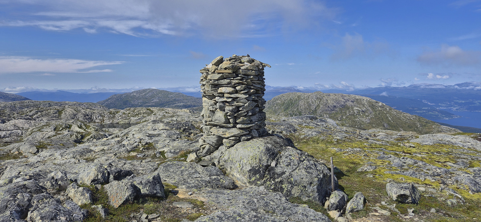
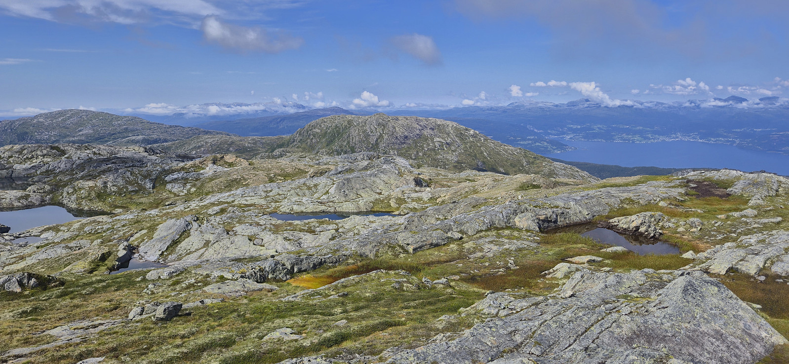
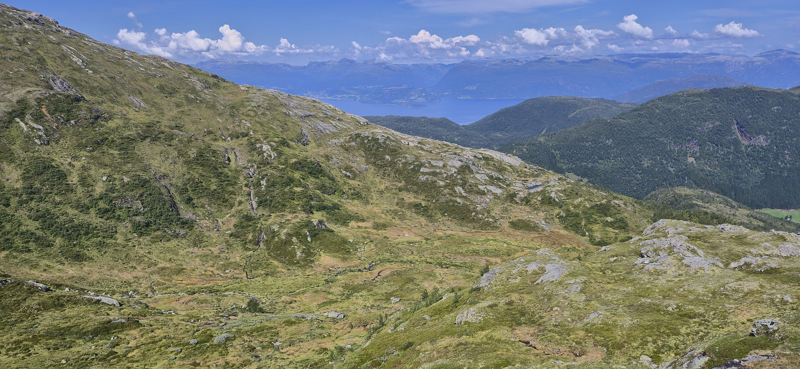
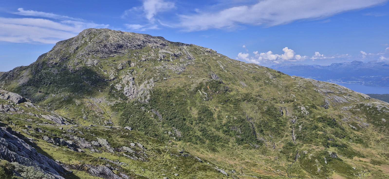
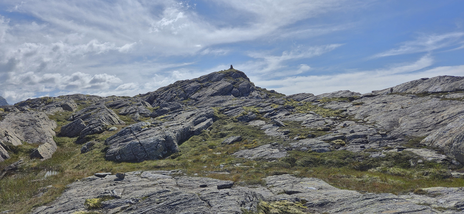
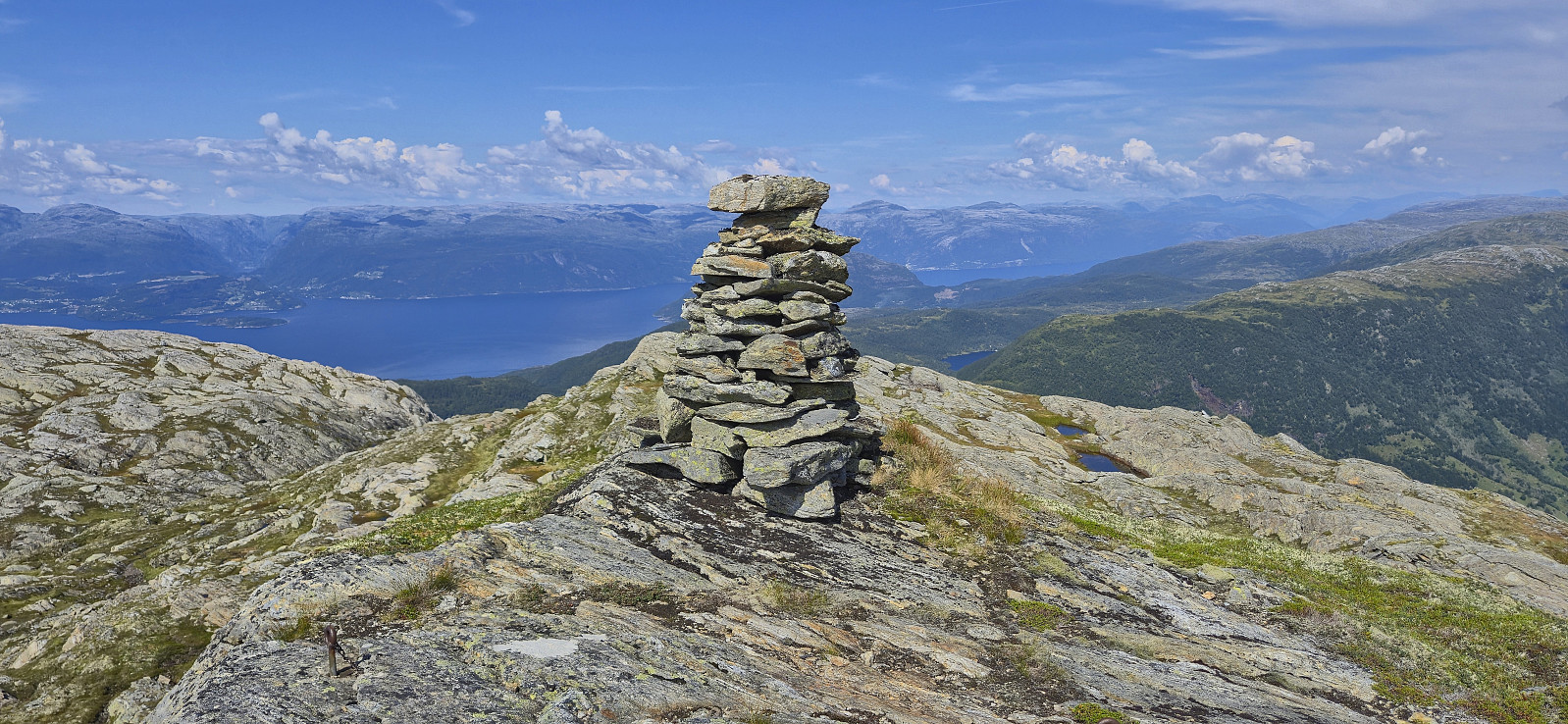
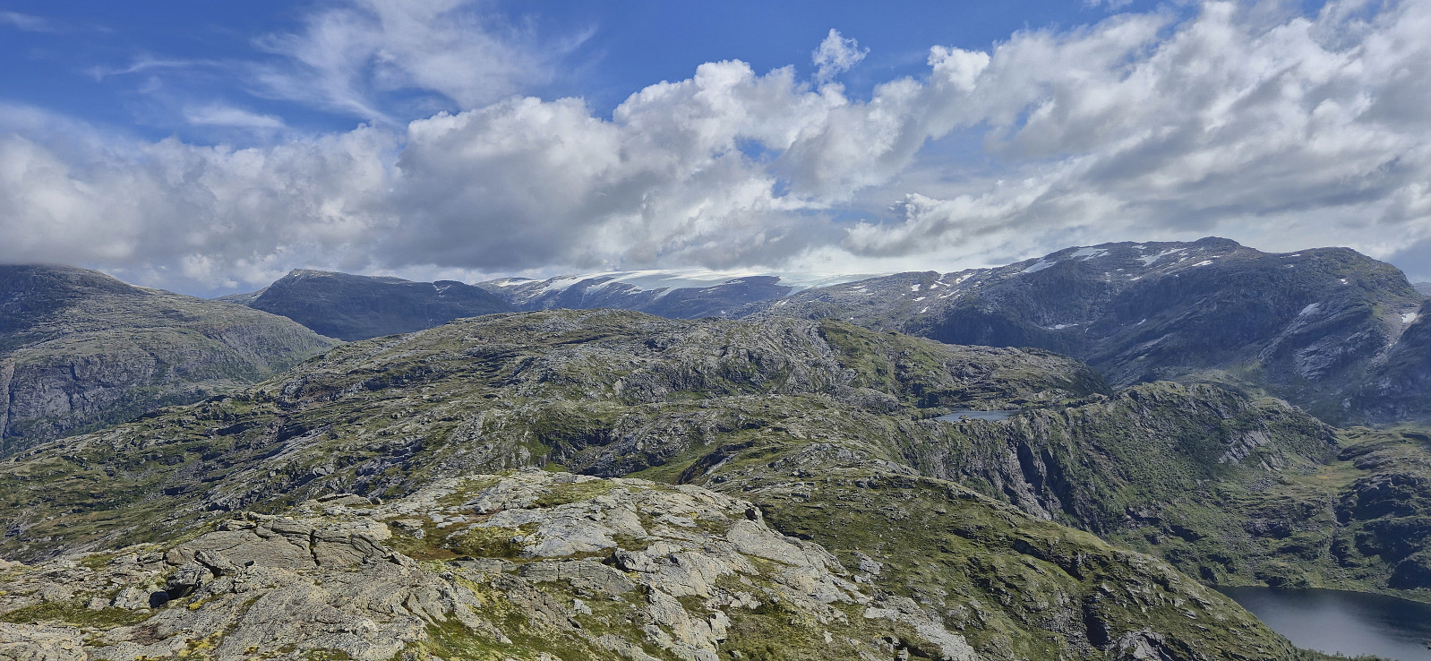
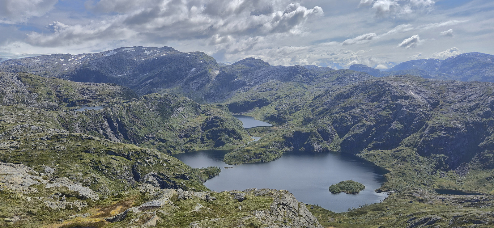
After a short break at the summit to take in the excellent views, I continued northwest to Grytingsfjellet. No trails or cairns marking the way here as far as I could tell. Lots of minor ups and downs and one or two steeper sections that had to be carefully navigated, but with one exception, where a tiny bit of backtracking was required, I managed to find a relatively easy route into the valley between the two peaks. Here I had another break before completing the final off-trail ascent to the summit, which was straightforward and did not present any challenges.
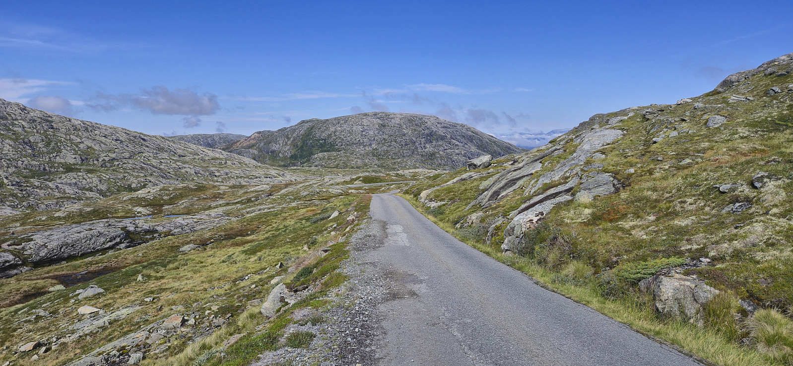
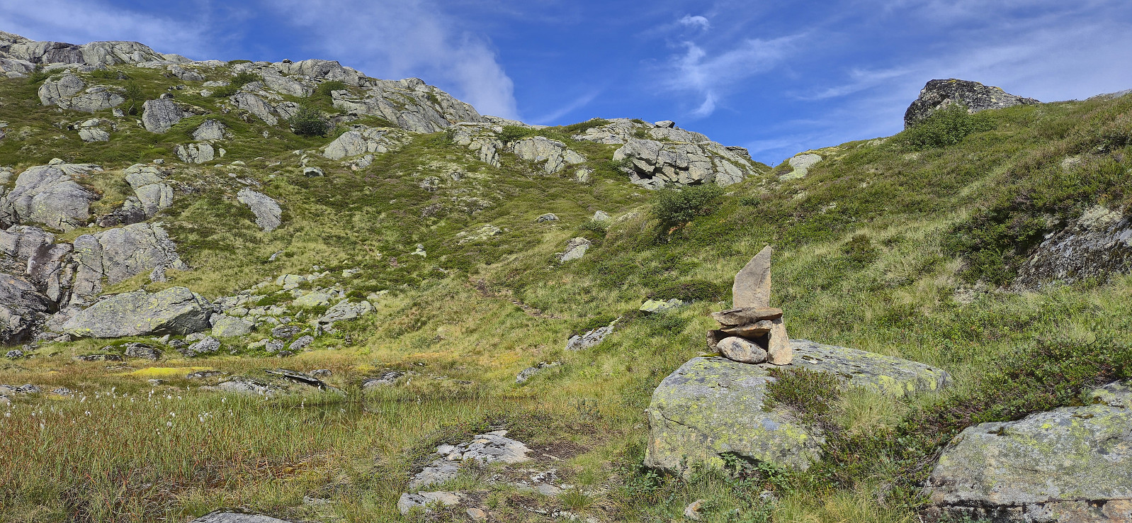
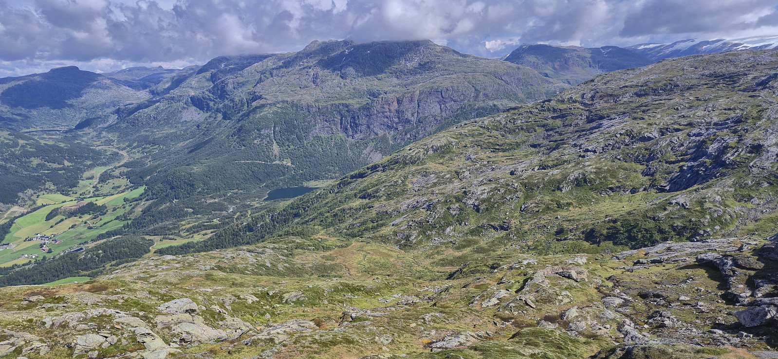
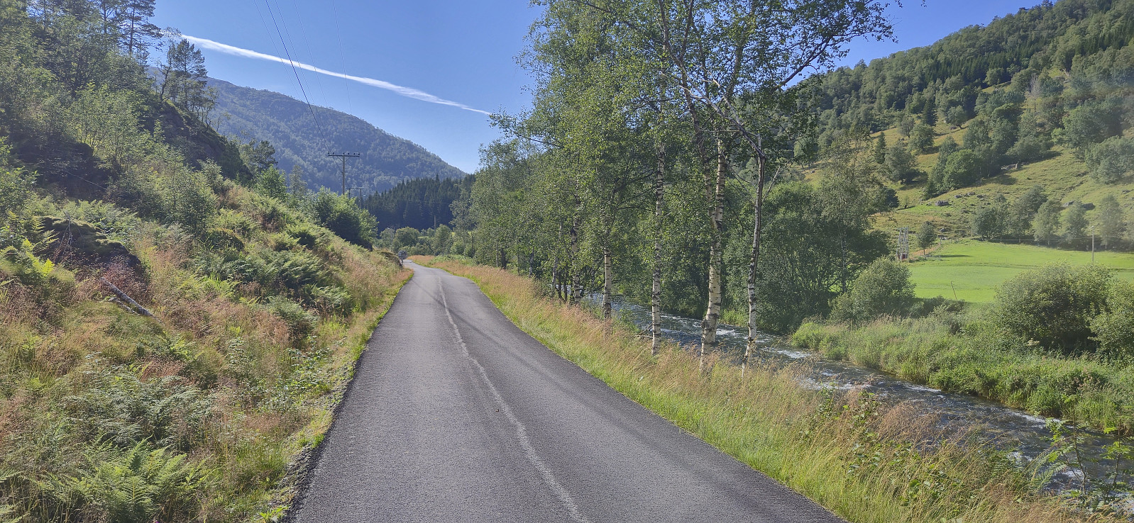
I returned the same way to connect with the marked trail in the valley and then proceeded to follow the trail northeast to the paved road. When getting to the road I had two choices: (i) either walk 2 km to the nearest bus stop, wait there for half an hour, take the bus to Jondal, and wait another hour for the ferry, or (ii) walk the full 10 km to Jondal to get there just in time for the ferry. I decided on the latter, which I at times regretted during the long walk to Jondal, although the views along the way were quite nice.
Upon arriving at Jondal I still had plenty of time to buy an ice cream before getting on the ferry. While on the ferry I took the chance to get on the bus coming from Odda, which then transported me back to Bergen via Norheimsund.
In summary, an excellent hike with spectacular views that can be highly recommended.
| Startzeitpunkt | 02.08.2025 10:56 (UTC+01:00 SZ) |
| Endzeitpunkt | 02.08.2025 17:55 (UTC+01:00 SZ) |
| Gesamtzeit | 6h 58min |
| Zeit in Bewegung | 6h 18min |
| Pausenzeit | 0h 40min |
| Gesamtschnitt | 3,4km/h |
| Bewegungsschnitt | 3,8km/h |
| Entfernung | 23,8km |
| Höhenmeter | 756m |


Benutzerkommentare