
Aksdalsneset to Skånevik (19.07.2025)

Geschrieben von hbar (Harald Barsnes)

| Startpunkt | Aksdalsneset (9m) |
|---|---|
| Endpunkt | Skånevik Fjordhotel (4m) |
| Tourcharakter | Bergtour |
| Tourlänge | 7h 47min |
| Entfernung | 19,5km |
| Höhenmeter | 1.402m |
| GPS |
|
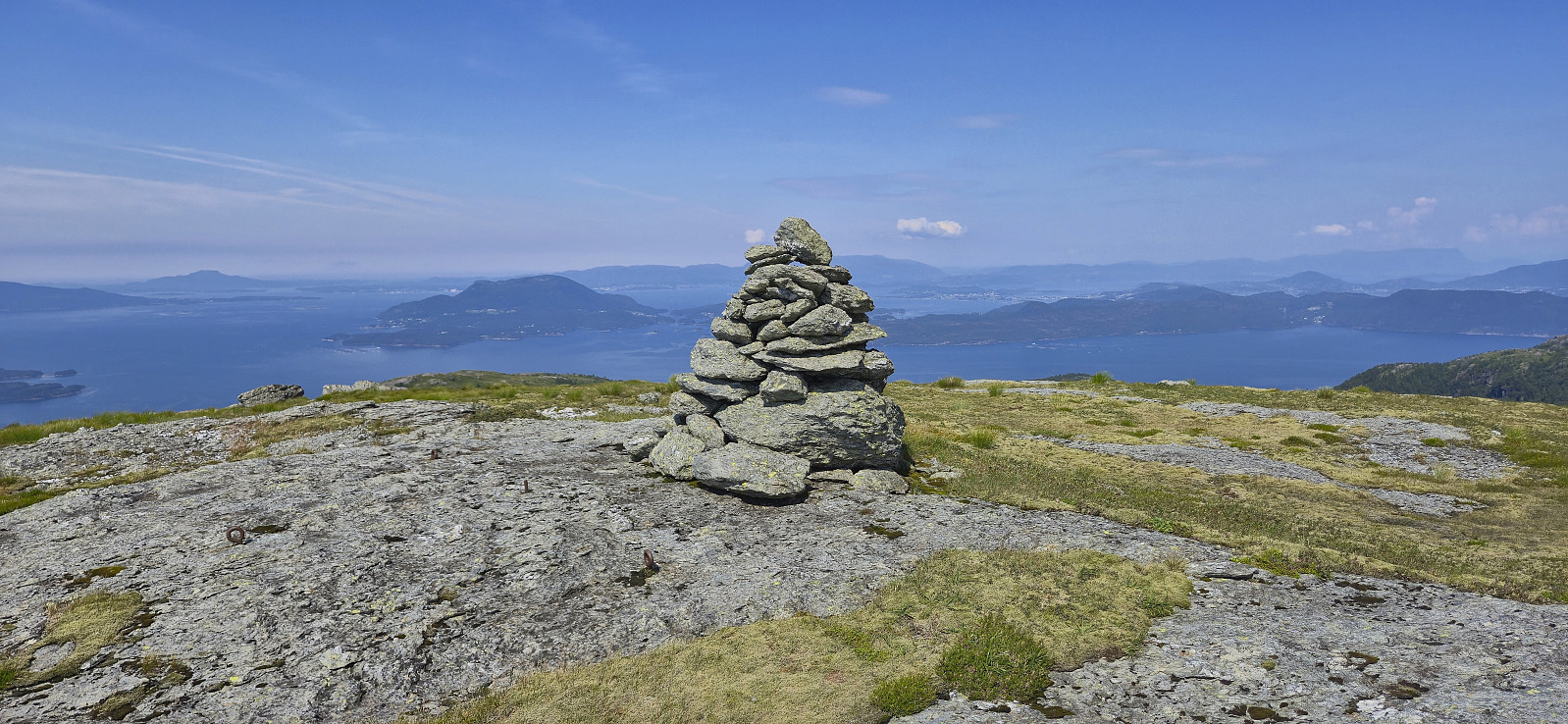
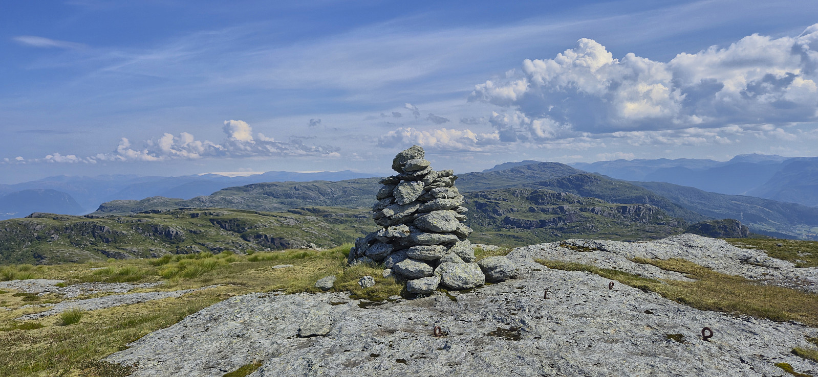
| Besteigungen | Børkjenesnuten (635m) | 19.07.2025 10:16 |
|---|---|---|
| Sauanuten (497m) | 19.07.2025 11:25 | |
| Gaddanuten (622m) | 19.07.2025 12:26 | |
| Håfjellet (582m) | 19.07.2025 14:03 |
Aksdalsneset to Skånevik

After arriving late in Skånevik the day before and spending the night at Skånevik Fjordhotel, I got up early to catch the 08:30 bus from Skånevik to Aksdalsneset. Note that the bus had to be ordered by calling Skyss at least one day in advance. Also, it was not actually a bus, but a rather a taxi. In other words, if you have not called in advance, you may risk being left behind at the bus stop, or that there is no taxi showing up in the first place.
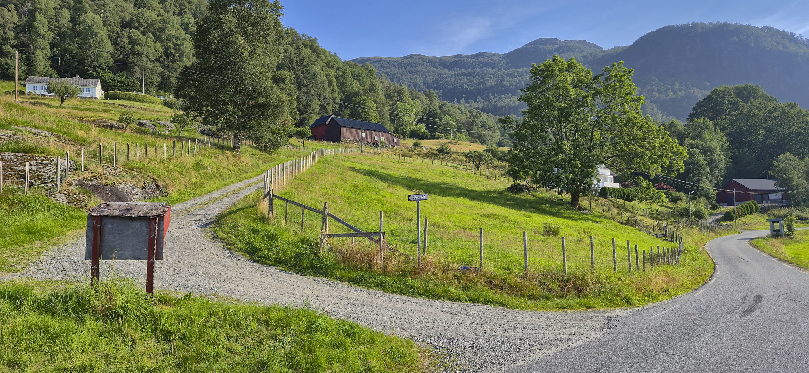
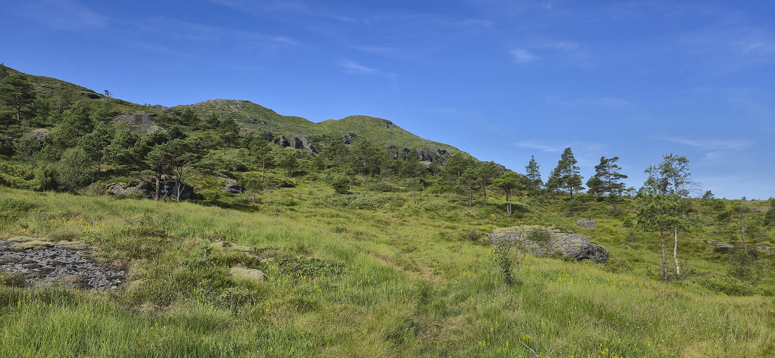
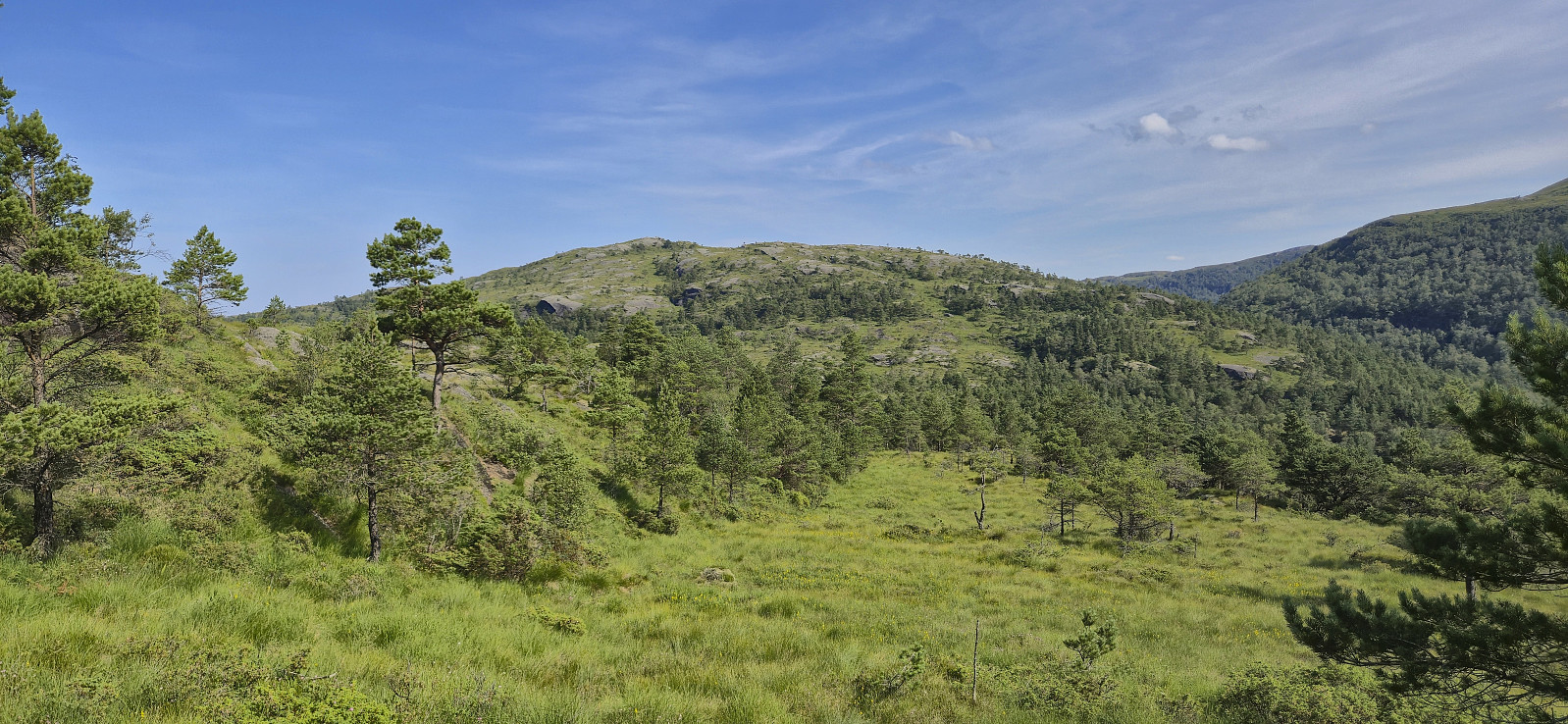
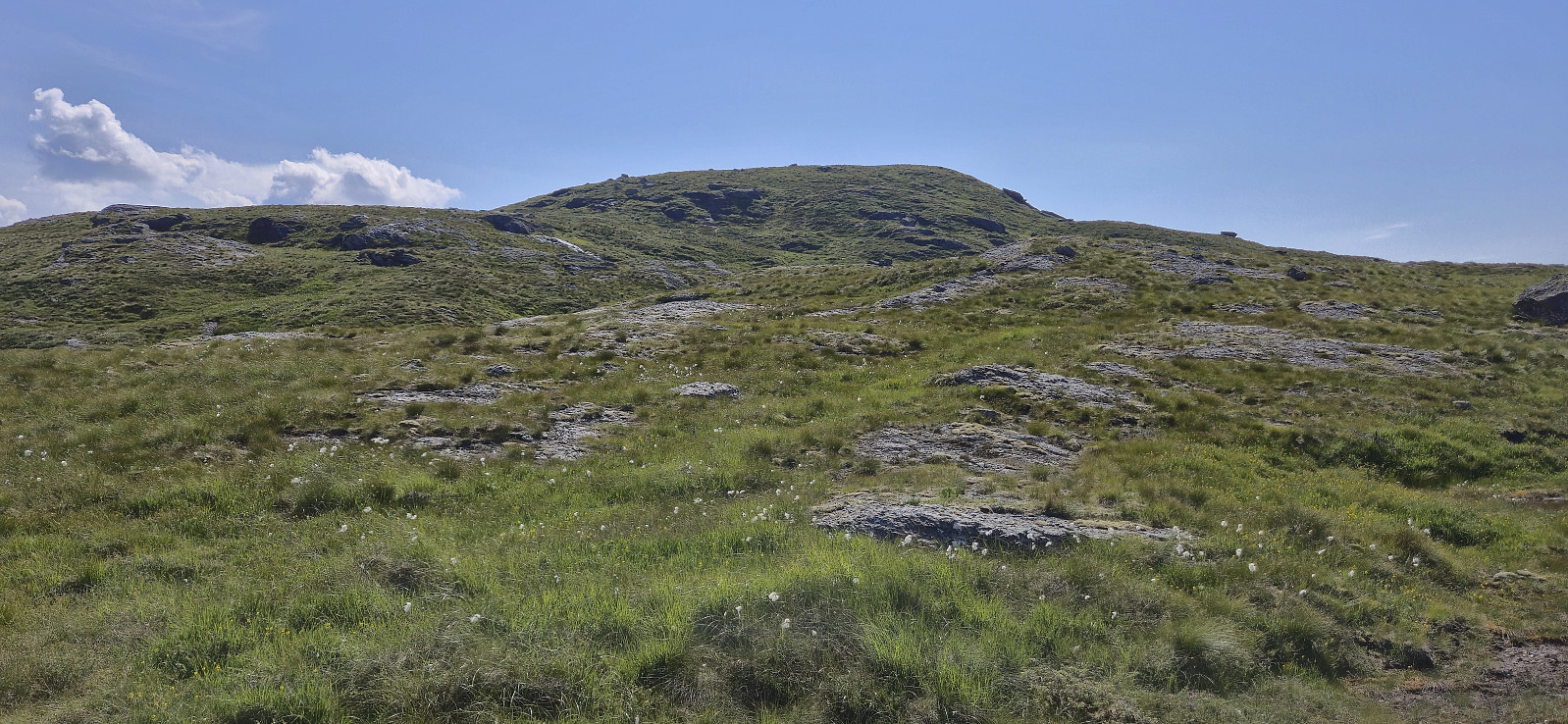
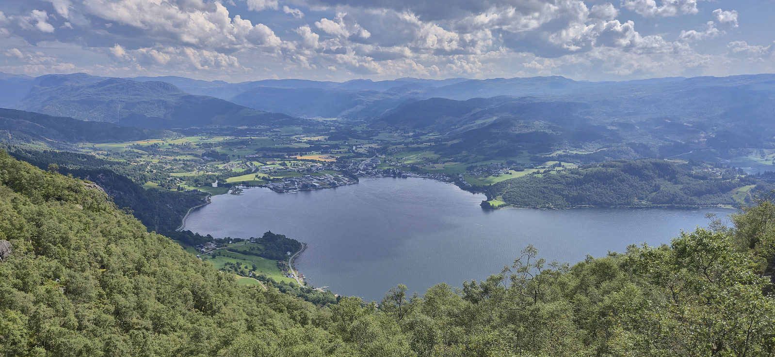
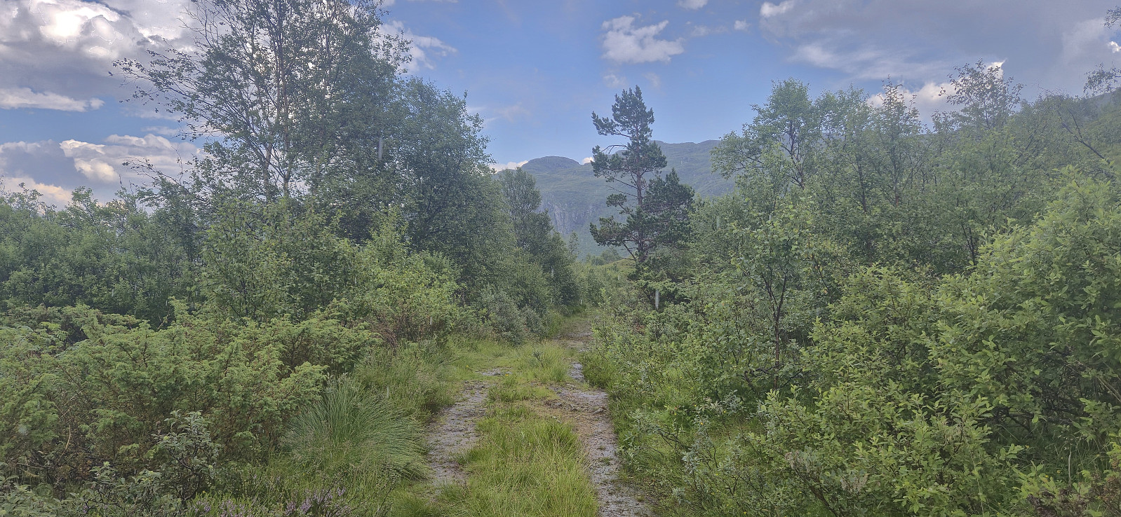
I got dropped off at Aksdalsneset from where I had come across a hiking suggestion at ut.no indicating what looked like a nice route to the summit of Børkjenesnuten. First I followed a gravel road that quickly turned into a tractor road taking me up to the unmarked trailhead.
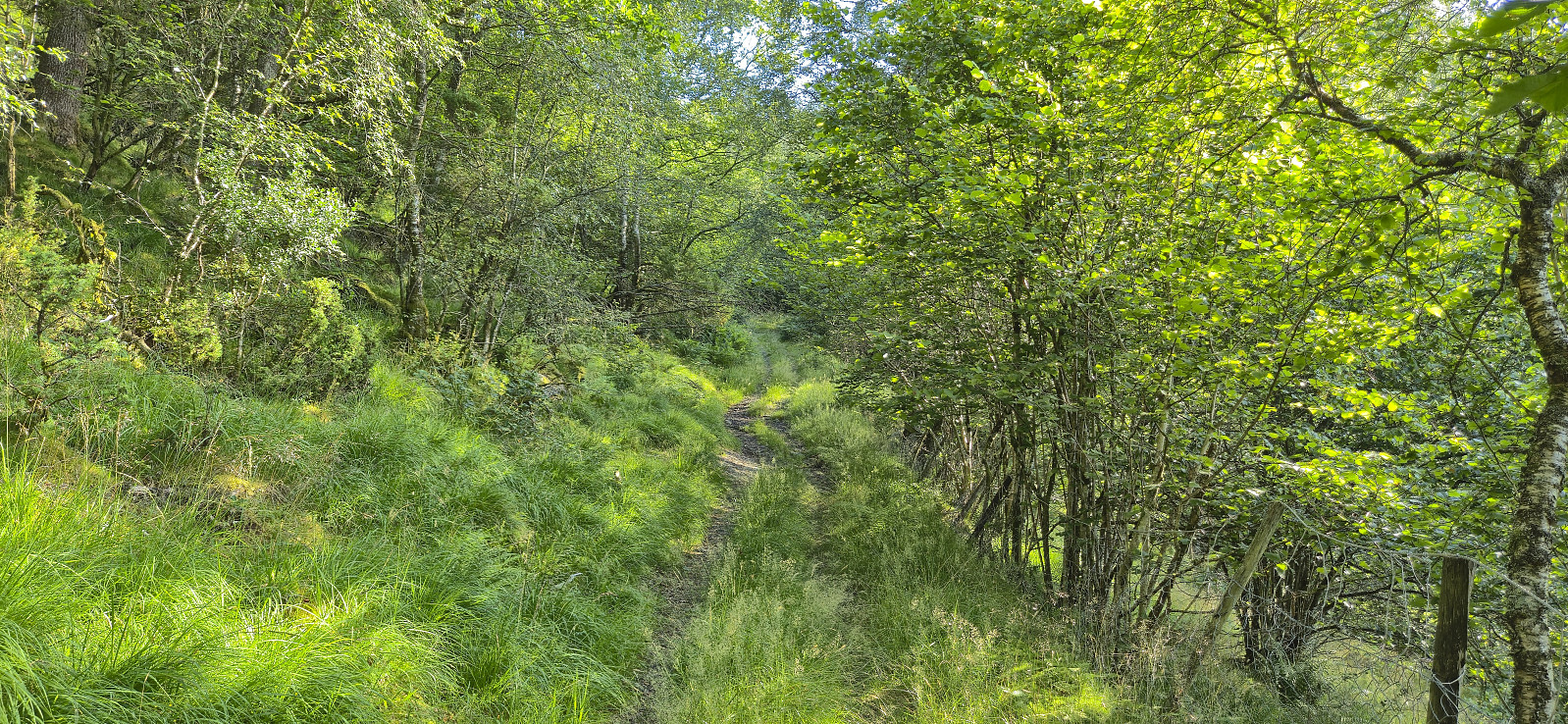
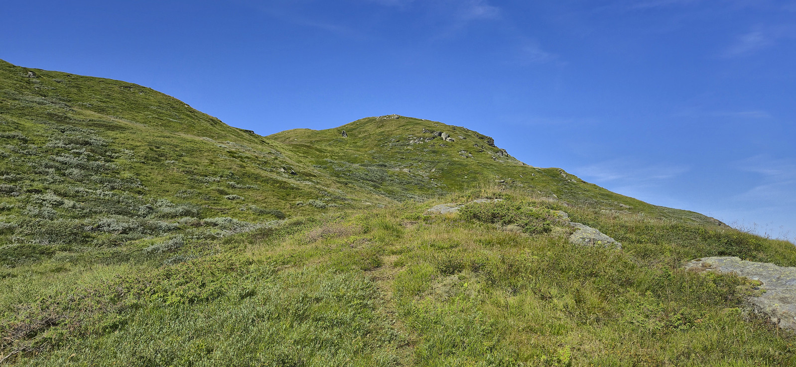
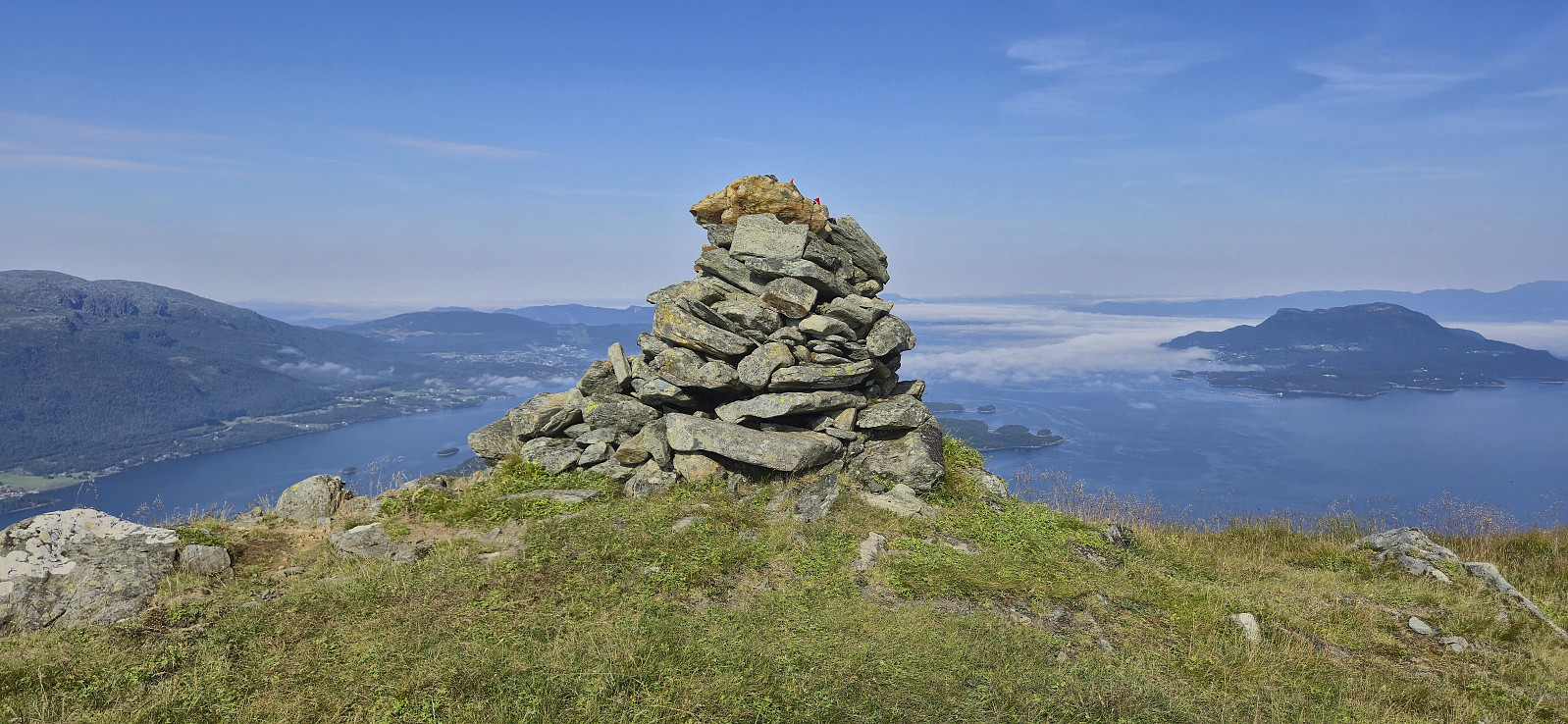
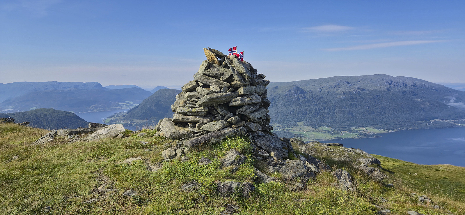
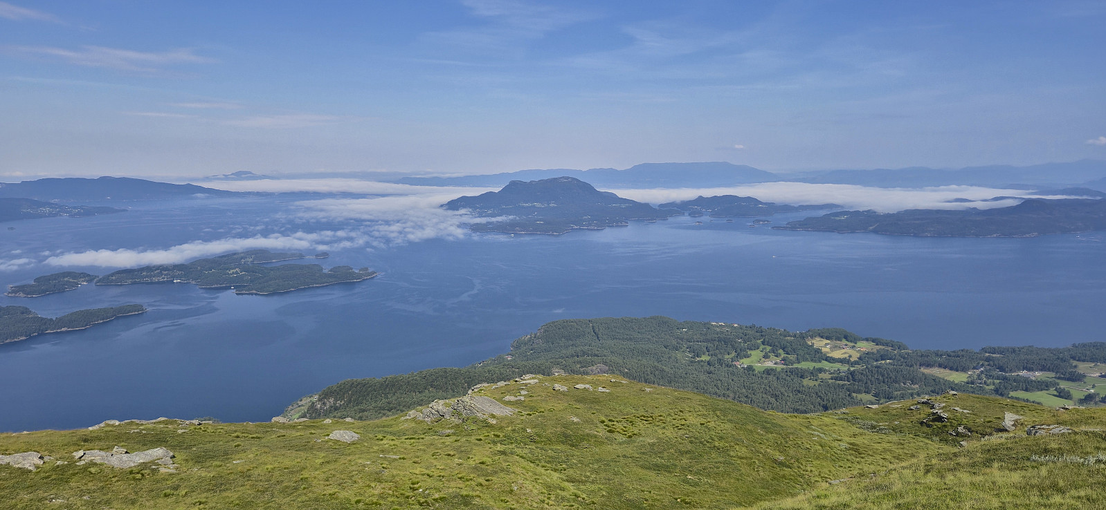
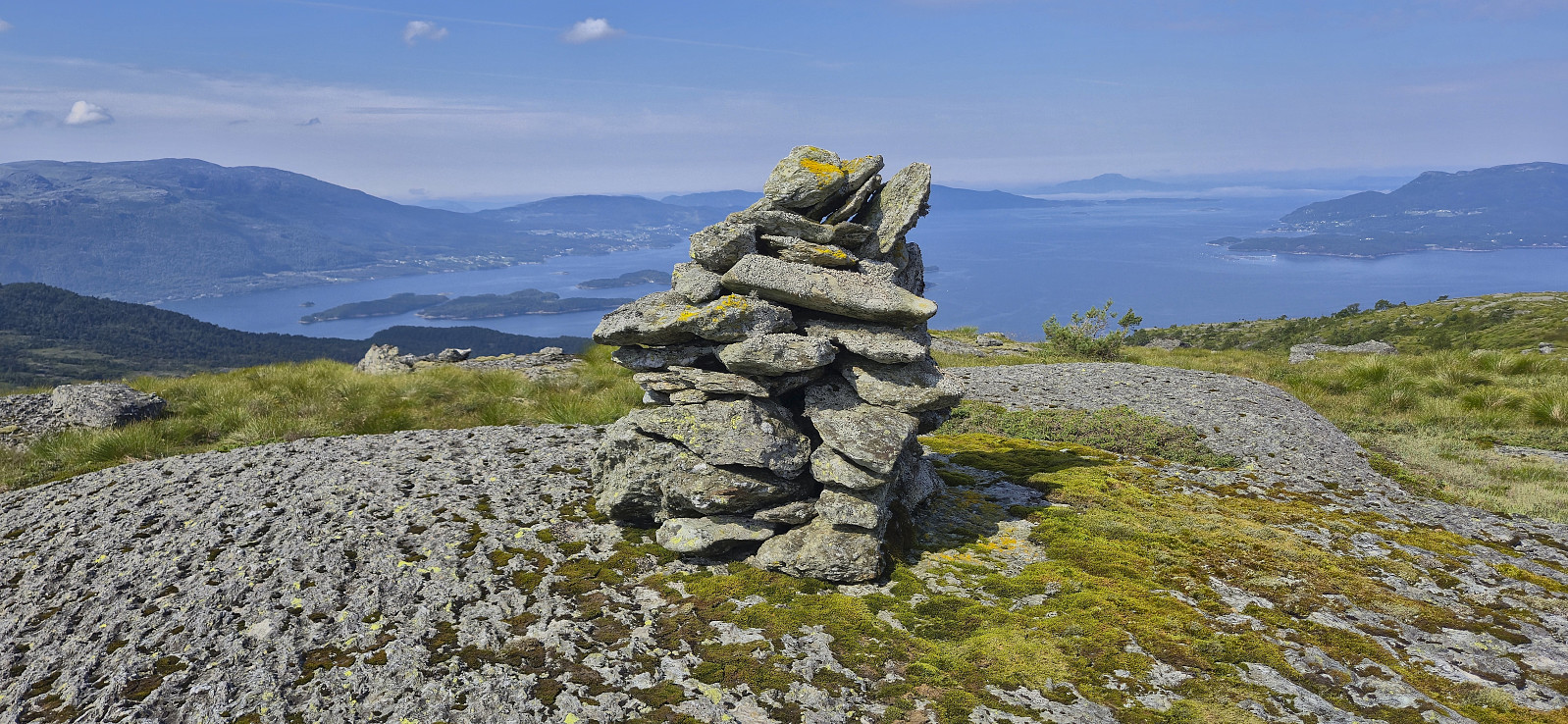
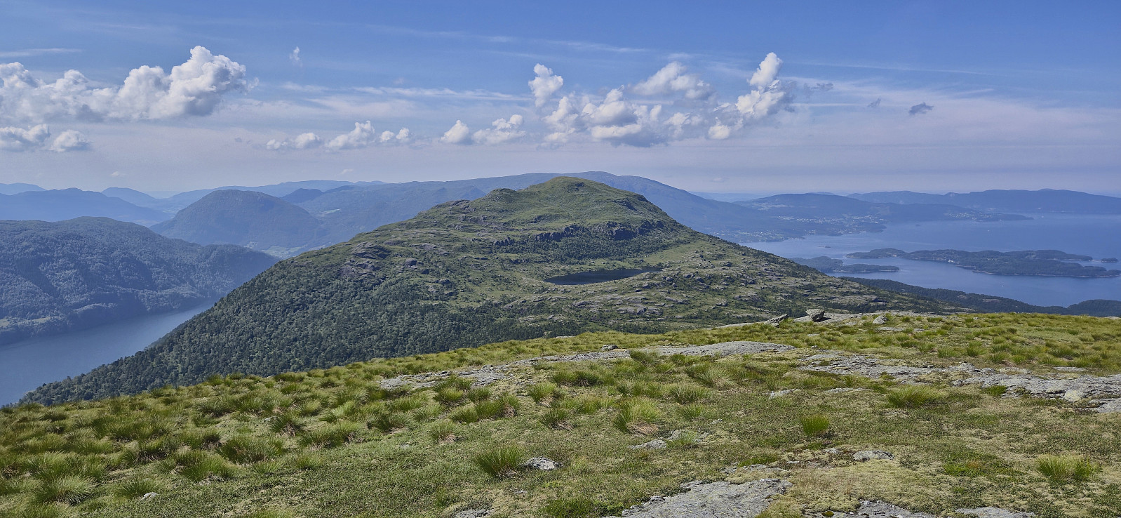
The start of the trail was easy to miss but after crossing a wet area early on it was overall straightforward to follow until getting near Vasstølsvatnet. Here the trail turned weaker, but with the occasional small cairn showing the way. For the final section towards the false summit east of the real one, I briefly lost the trail altogether but by then the direction was pretty obvious anyway. In the end, the summit was reached without any issues and provided spectacular panoramic views.
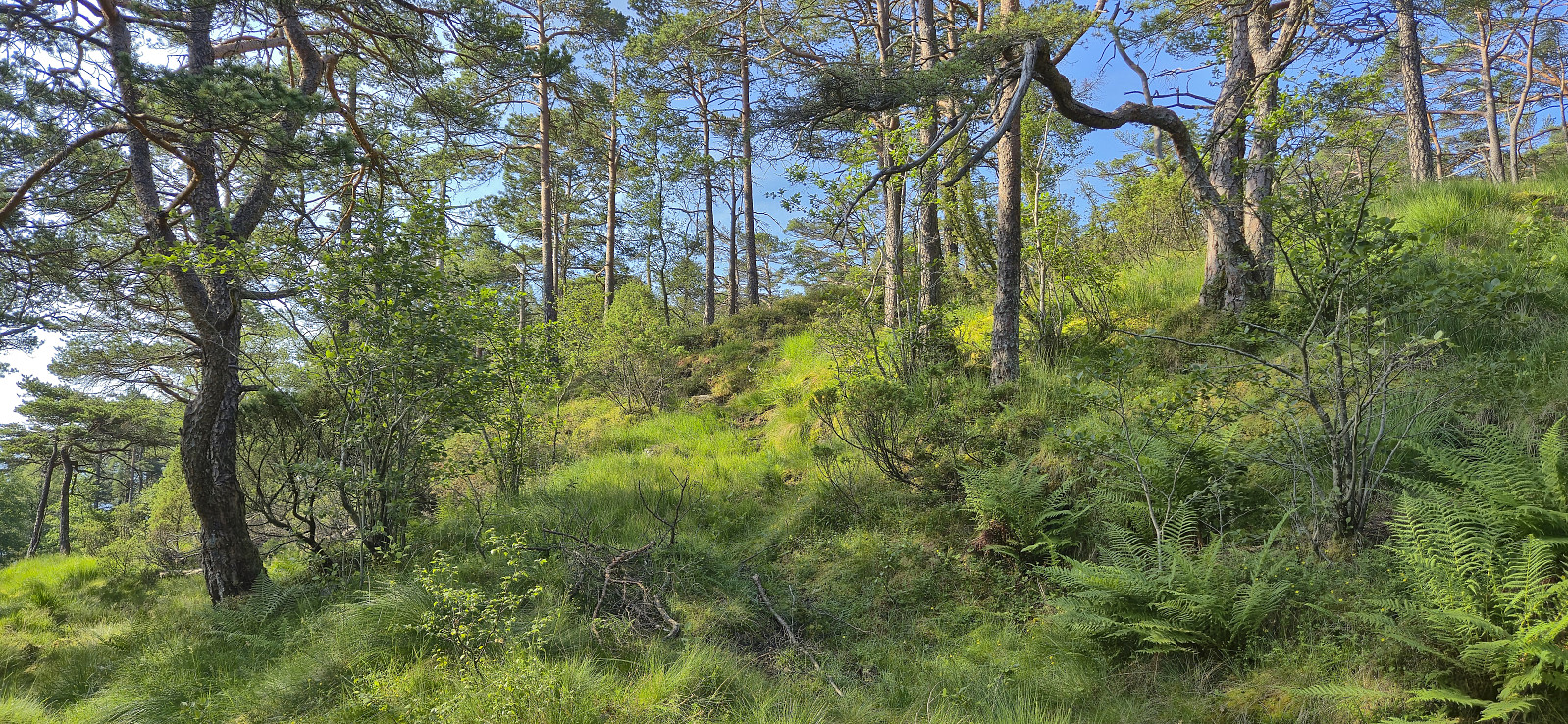
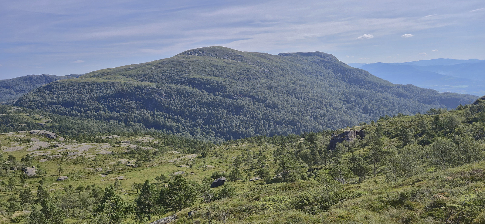
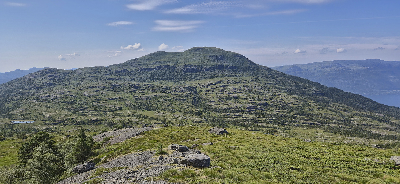
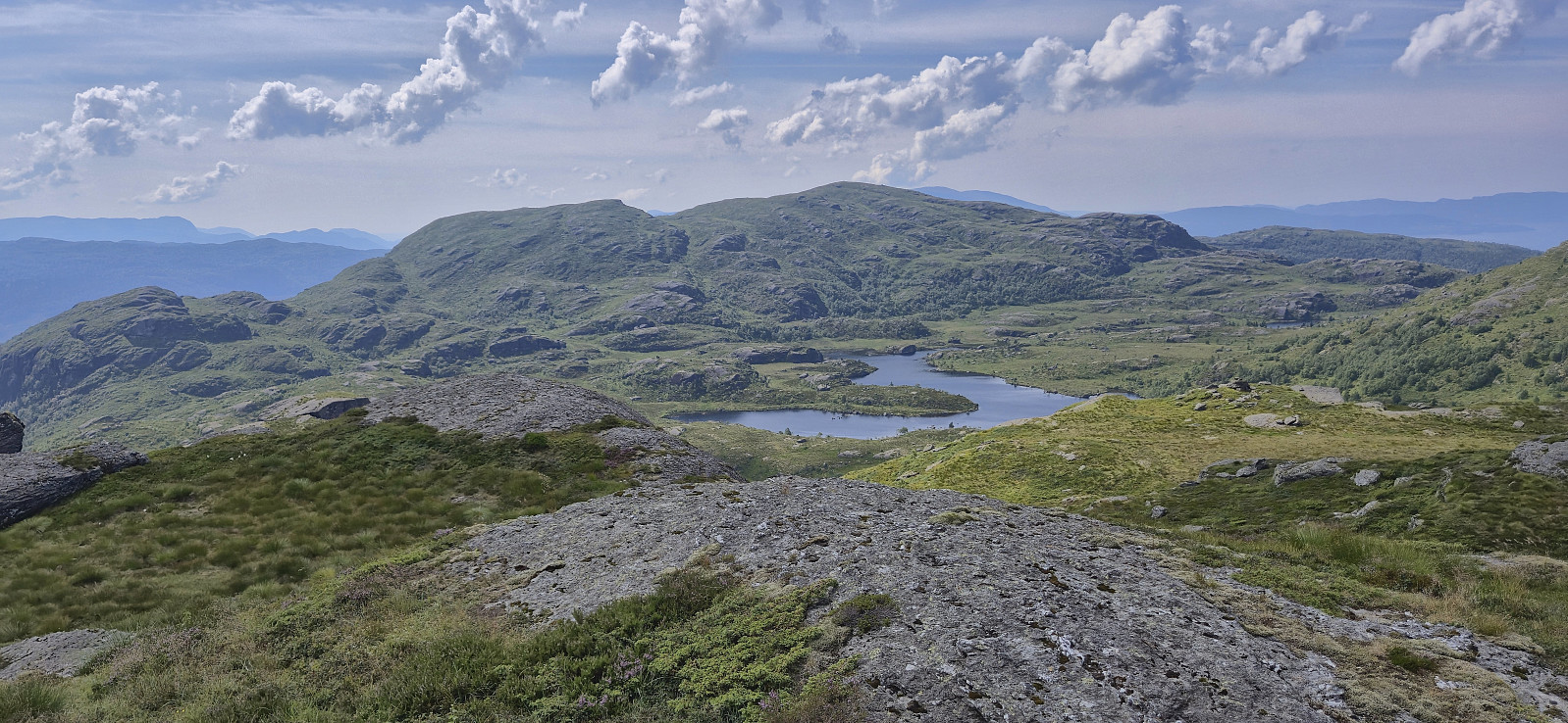
After a break to enjoy the views, I returned the same way to Vasstølsvatnet and then followed a very weak trail/track north to Sauanuten. Even though the map here indicated a partial trail, I did not see many traces of it, but at least it provided an easy route to the summit and limited fighting with the undergrowth.
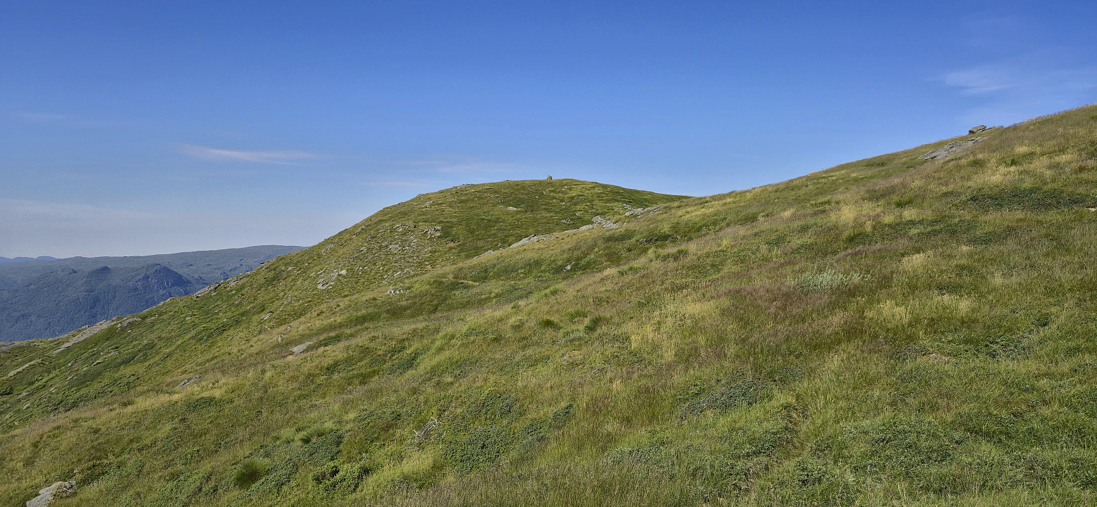
I quickly turned my attention to Gaddanuten and managed to find a relatively easy off-trail descent into Aksdalsskardet. The map once again indicated partial trails for the ascent to Gaddanuten but those I came across looked more like deer tracks and it felt more like an off-trail ascent. Only the first section however required a bit of easy route-finding. From there on it was straightforward to reach the summit.
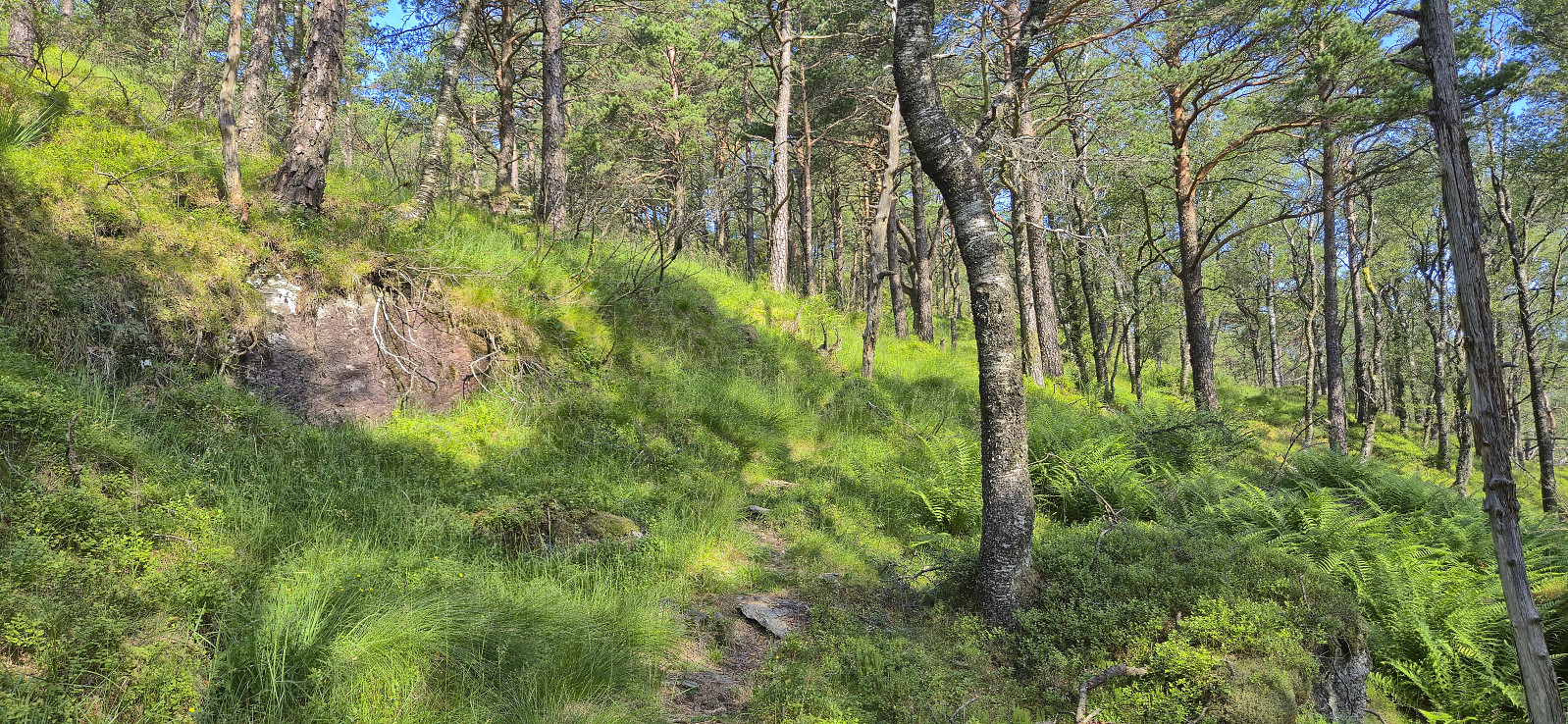
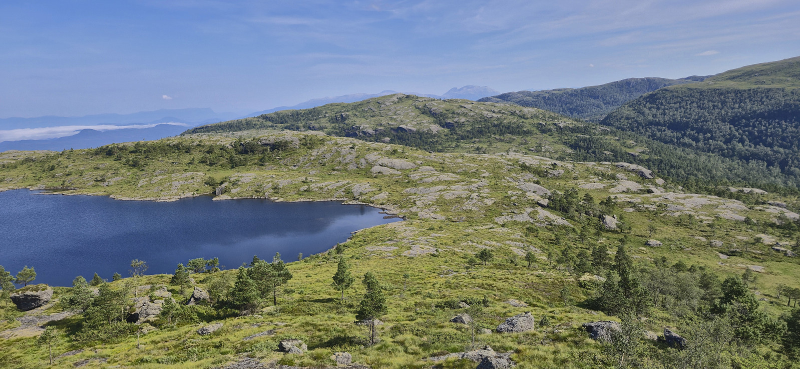
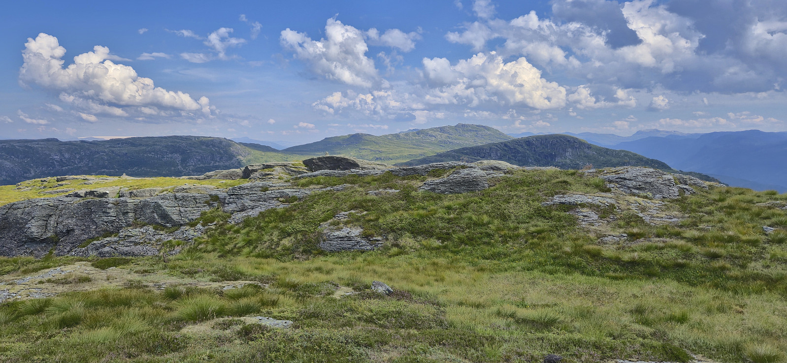
From Gaddanuten, my plan had been to connect with the trail east of the summit and simply follow it towards Håfjellet. However, even though this trail was indicated to be of the more visible type, it had the same issues as the trails around Sauanuten and the ascent to Gaddanuten, i.e. it was very weak and at most times not visible. For simplicity, I decided to still follow the plan and at least it provided a relatively easy route to follow. In the end, Håfjellet was therefore also reached without any real challenges.
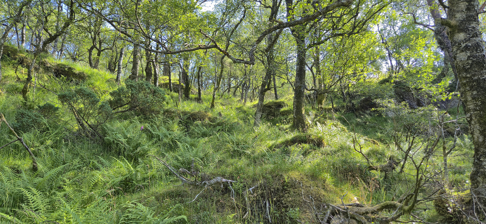
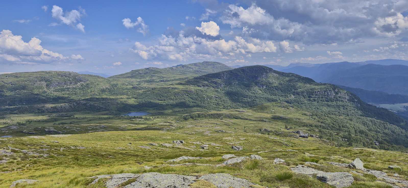
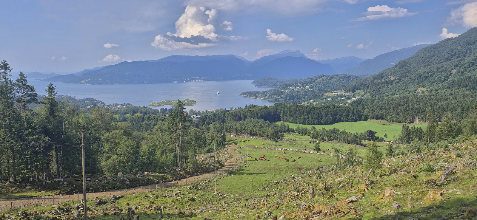
When planning the hike, I had considered to maybe also include Hovlandsskuten, but due to the overall lack of proper trails, and darkening clouds in the distance with the potential for thunderstorms, I decided to leave Hovlandsskuten for tomorrow and headed more directly towards Skånevik. Once more, I wanted to follow the trails indicated on the map but as expected the quality was not the best, if the trails could be spotted at all.
When rounding west of Hegelihaugen it started raining. Although thankfully without any lightning, I still quickly aimed for the tractor road east of Tjellevatna to get down from potentially exposed terrain. The rain did not last long and I dried up pretty good during the final descent along the gravel road to Skånevik.
To conclude, hiking from Aksdalsneset to Skånevik is definitely possible and provides excellent views along the way, just don't expect too much in terms of trail quality.


| Startzeitpunkt | 19.07.2025 08:57 (UTC+01:00 SZ) |
| Endzeitpunkt | 19.07.2025 16:45 (UTC+01:00 SZ) |
| Gesamtzeit | 7h 47min |
| Zeit in Bewegung | 6h 37min |
| Pausenzeit | 1h 10min |
| Gesamtschnitt | 2,5km/h |
| Bewegungsschnitt | 2,9km/h |
| Entfernung | 19,5km |
| Höhenmeter | 1.402m |


Benutzerkommentare