
Hattråsen and Smørkisfjellet (08.02.2025)

Geschrieben von hbar (Harald Barsnes)

| Startpunkt | Kalandseidet (74m) |
|---|---|
| Endpunkt | Kaland (58m) |
| Tourcharakter | Bergtour |
| Tourlänge | 2h 16min |
| Entfernung | 8,7km |
| Höhenmeter | 383m |
| GPS |
|
| Besteigungen | Hattråsen (312m) | 08.02.2025 14:20 |
|---|---|---|
| Smørkisfjellet (334m) | 08.02.2025 14:41 |
Hattråsen and Smørkisfjellet
A return to Kalandseidet to visit two recent additions to the Alle topper i Bergen list.
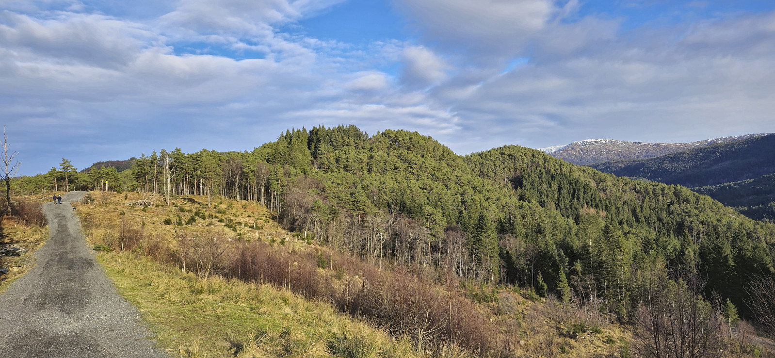
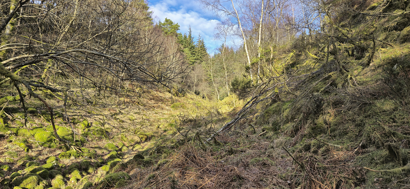
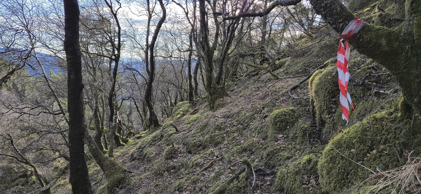
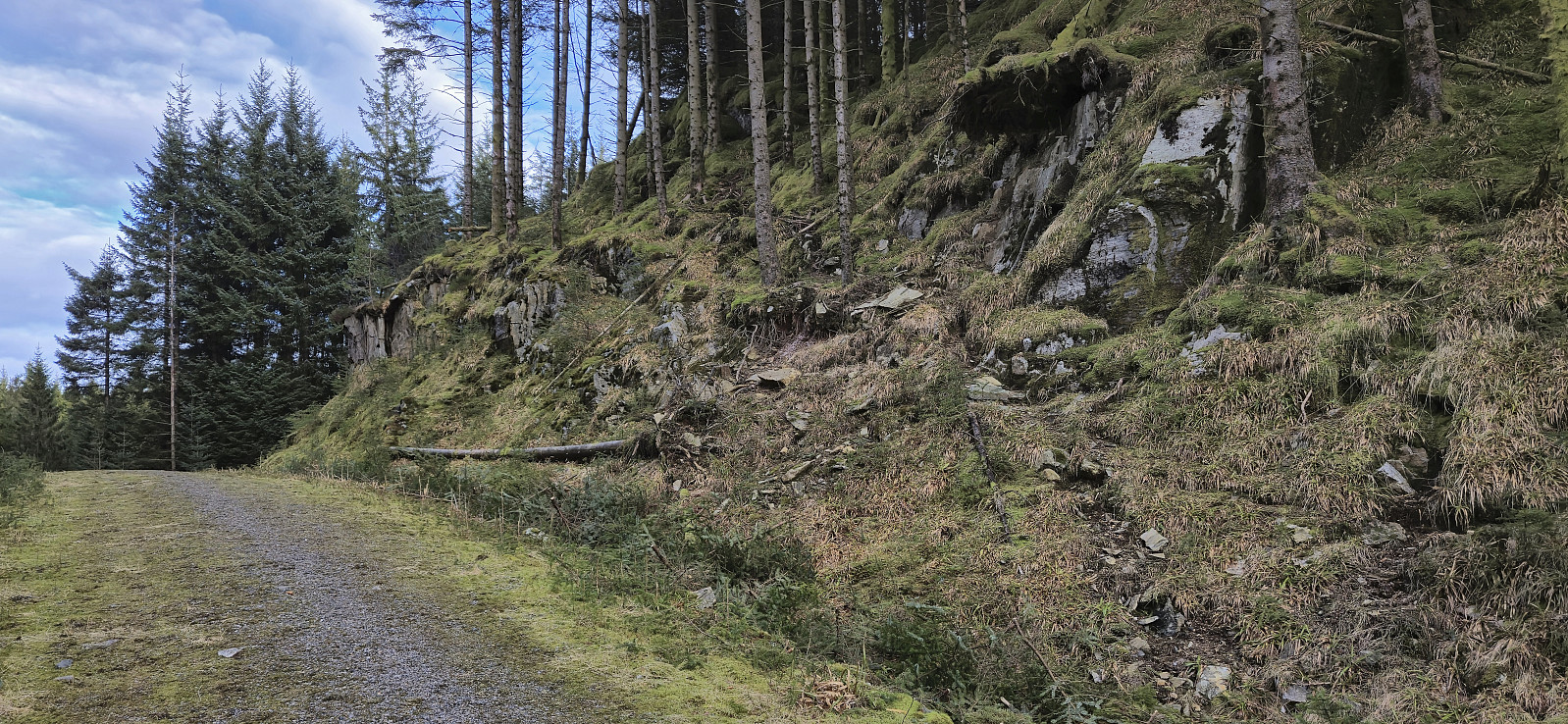
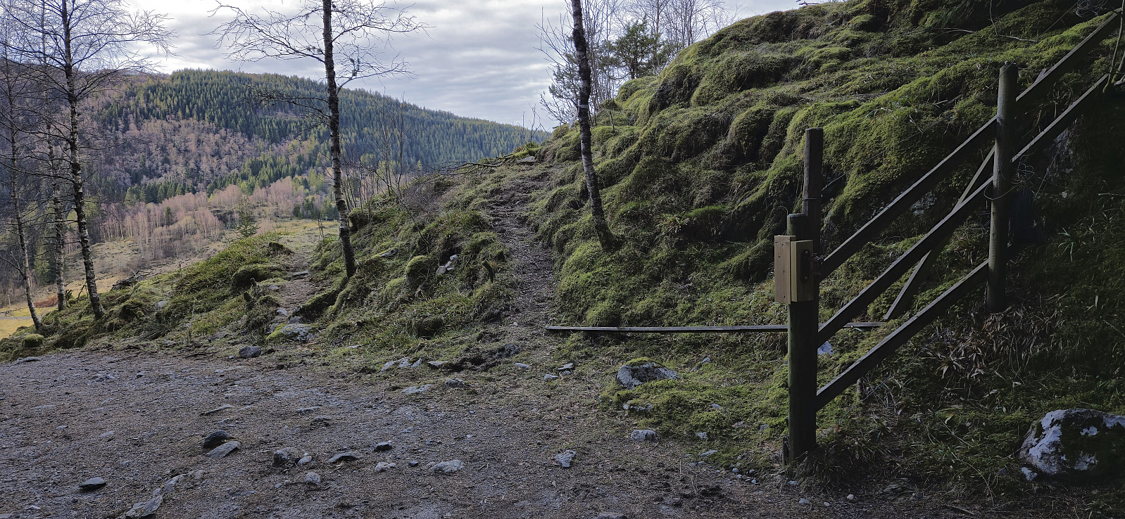
From the bus stop I followed the various roads to Hattråsdalen, only making a short detour to Styrshaugen, and then headed off-trail up the valley east of the summit of Hattråsen. Here I came across a trail marked with red and white plastic ribbons that took me almost to the summit.
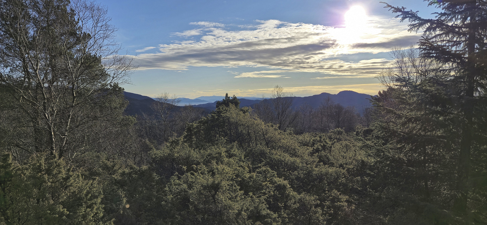
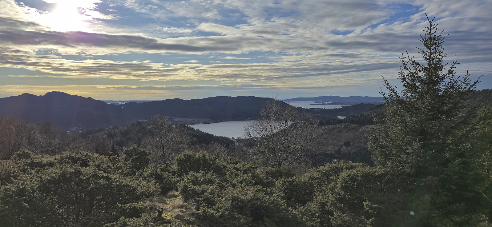
But when the trail started descending south along the ridge, I instead headed off-trail to the summit which, despite a minor fight with the many juniper bushes, was reached without any real issues. The summit provided views to the south but slightly better views could be obtained from just south of the highest point.
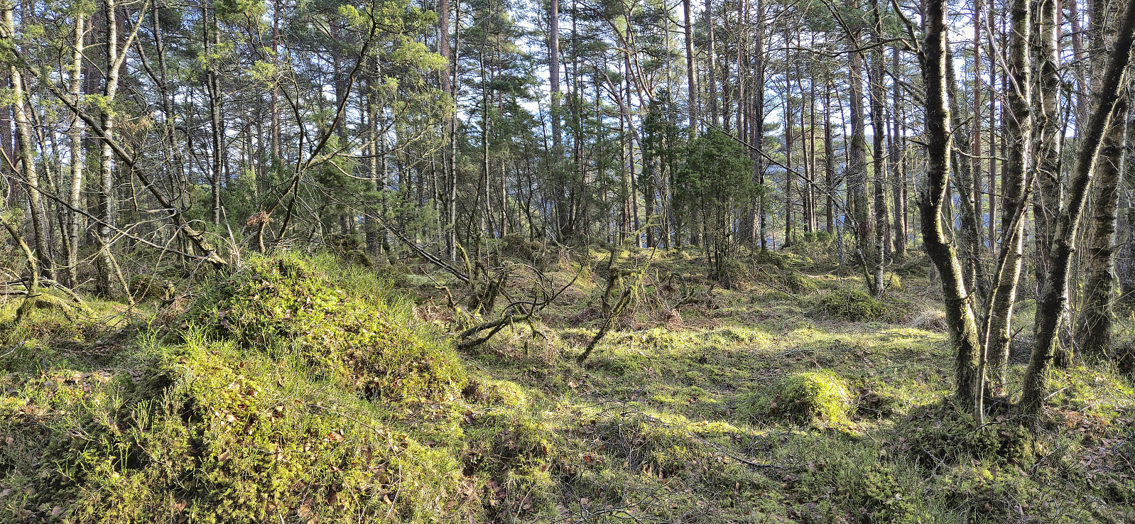
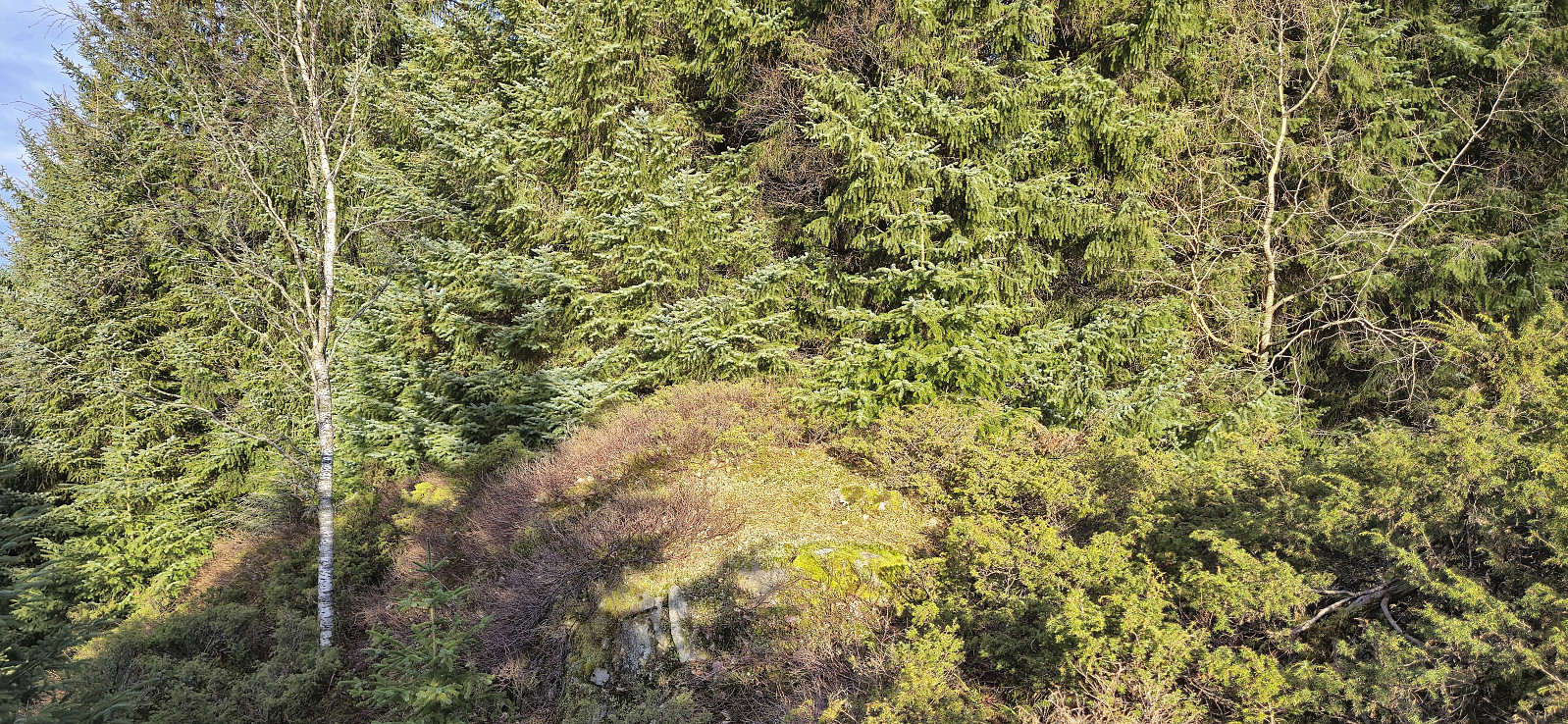
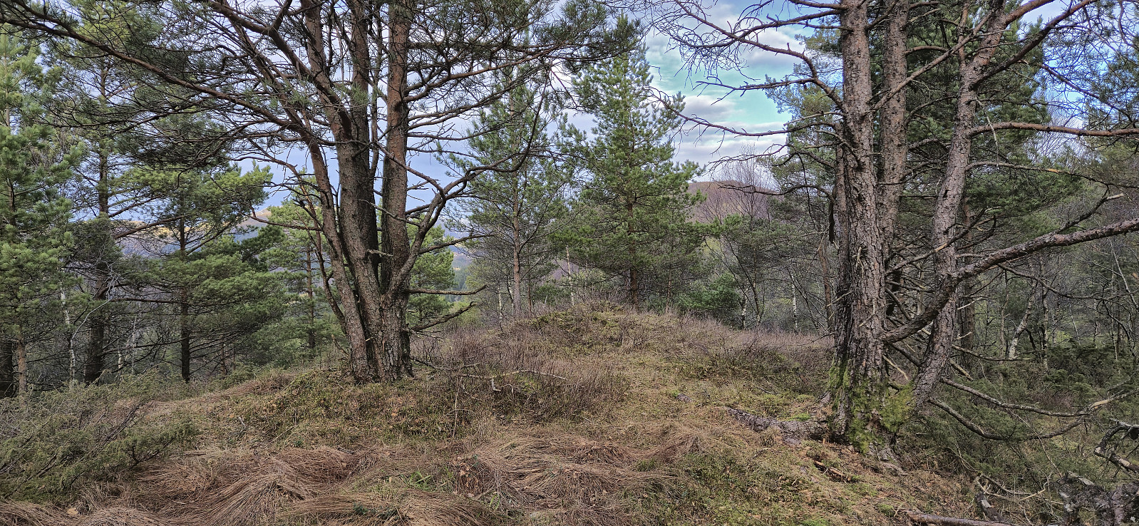
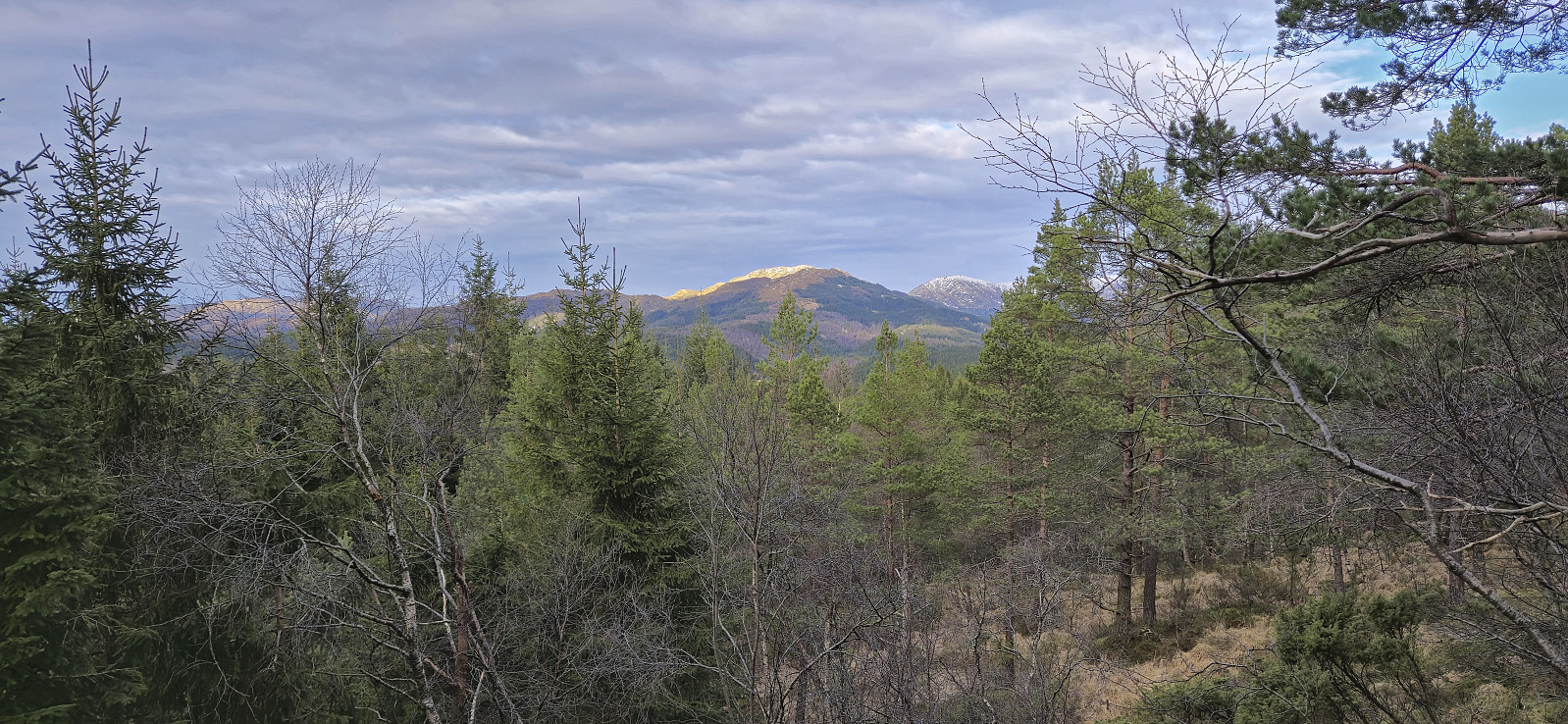
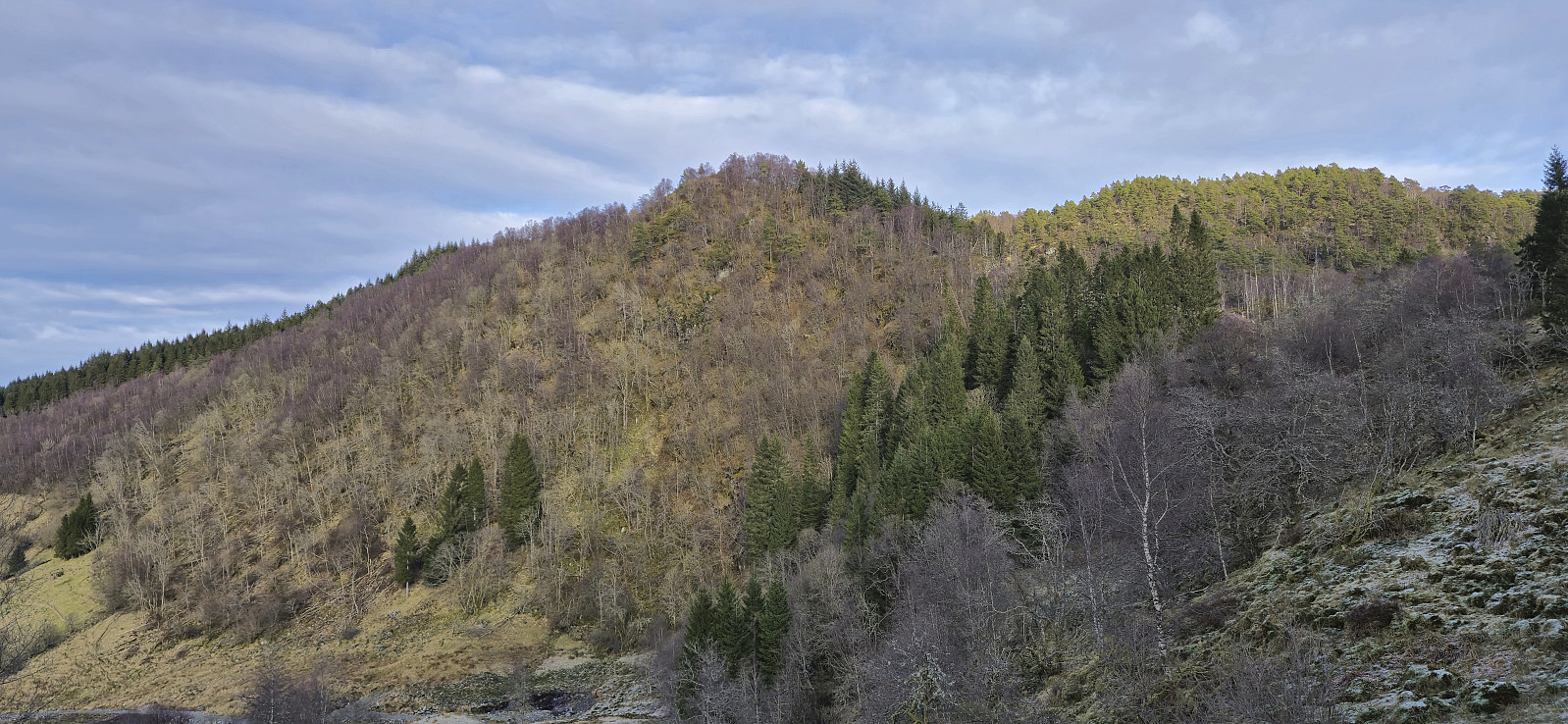
I returned to the marked trail and proceeded to briefly follow it north in order to reconnect with the gravel road. But again the markers headed in the wrong direction and I instead found my own way. I did not stay long on the gravel road though and soon followed a deer track to the summit of Smørskisfjellet. Limited views from the summit, although Livarden could be spotted between the trees.
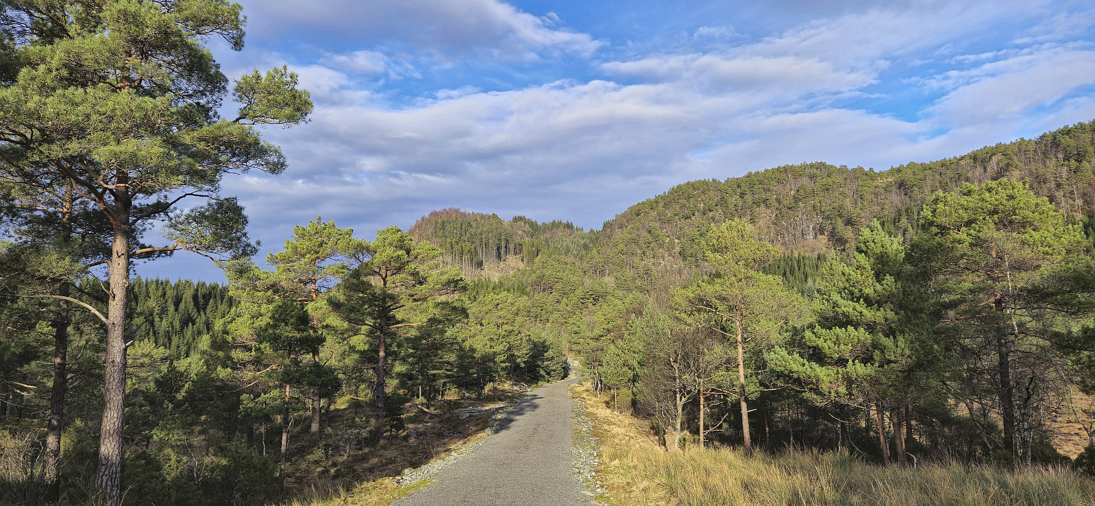
The hike was completed by returning to the gravel road and then following it south and west to Bontveitvegen, and finally back to the main road at Kaland for the bus back to the city center.
| Startzeitpunkt | 08.02.2025 13:04 (UTC+01:00) |
| Endzeitpunkt | 08.02.2025 15:20 (UTC+01:00) |
| Gesamtzeit | 2h 16min |
| Zeit in Bewegung | 2h 13min |
| Pausenzeit | 0h 2min |
| Gesamtschnitt | 3,9km/h |
| Bewegungsschnitt | 3,9km/h |
| Entfernung | 8,7km |
| Höhenmeter | 382m |


Benutzerkommentare