
Vågahovda (08.12.2024)

Geschrieben von hbar (Harald Barsnes)

| Startpunkt | Sundvorvegen (47m) |
|---|---|
| Endpunkt | Sundvorvegen (47m) |
| Tourcharakter | Bergtour |
| Tourlänge | 1h 02min |
| Entfernung | 1,8km |
| Höhenmeter | 146m |
| GPS |
|
| Besteigungen | Vågahovda (178m) | 08.12.2024 15:10 |
|---|
Vågahovda
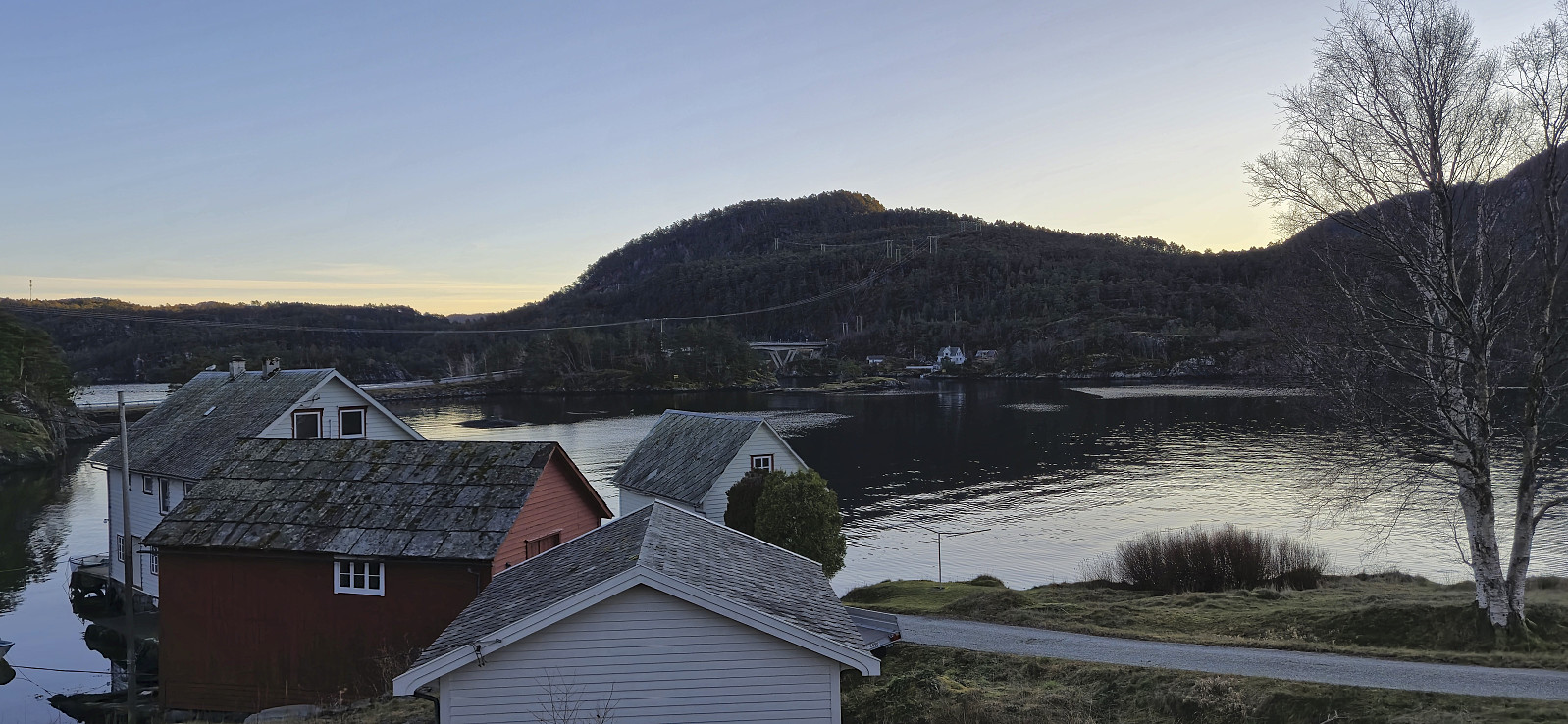
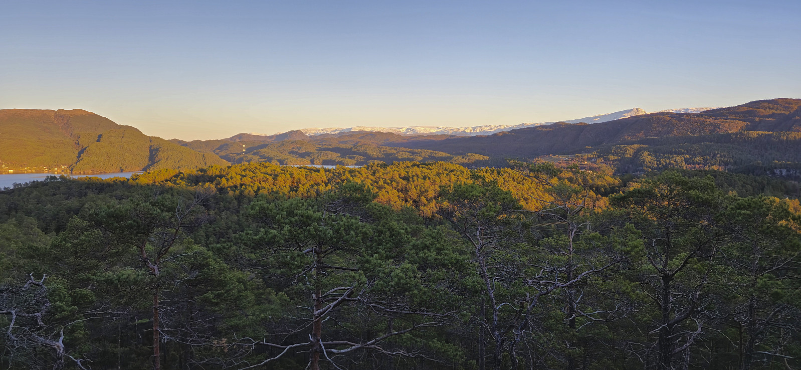
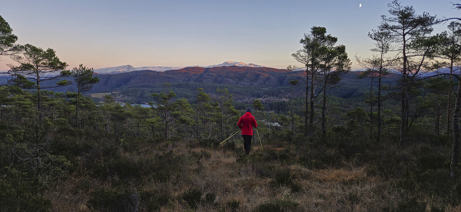
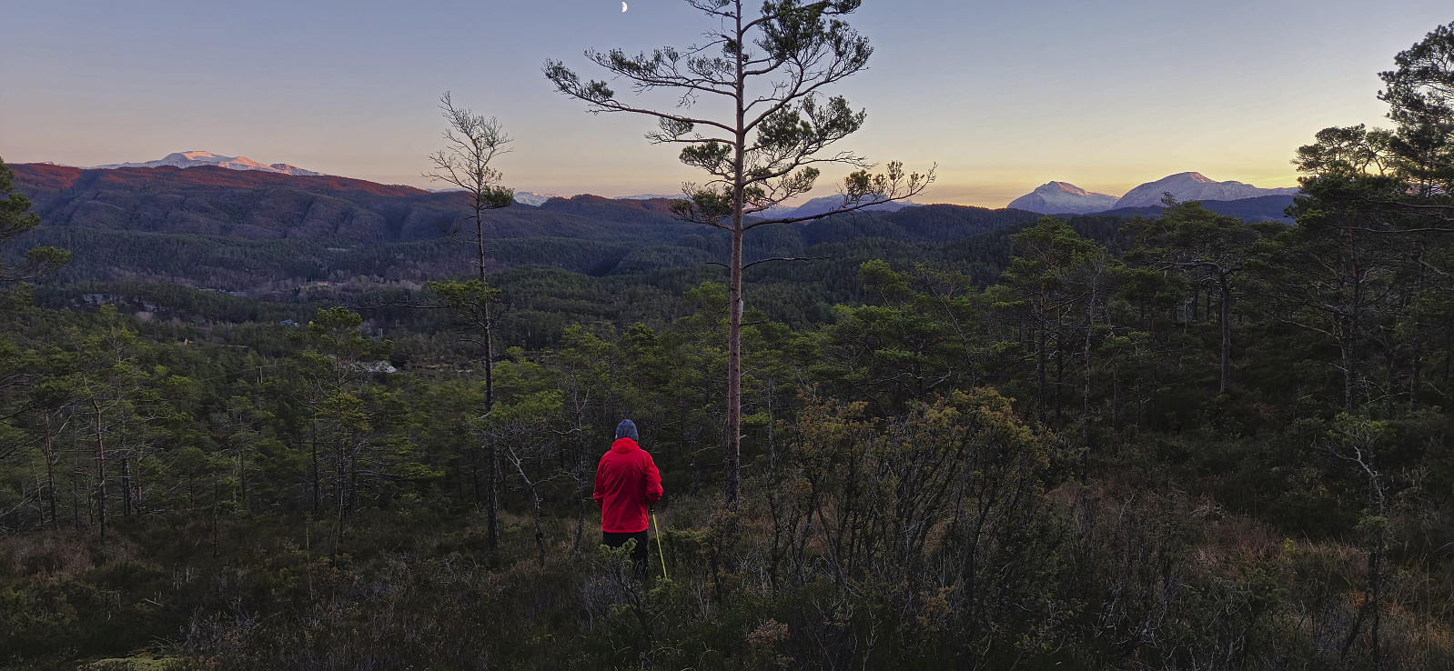
After our ascent of Røyrfjellet Øst, Petter and I drove south to Bjørnafjorden for a visit of Vågahovda - a recent addition to the Bjørnafjorden ≥ 100m pf. list with no previously reported ascents. We found parking at the start of Austefjordvegen just southeast of the summit and after crossing the main road we began our ascent.
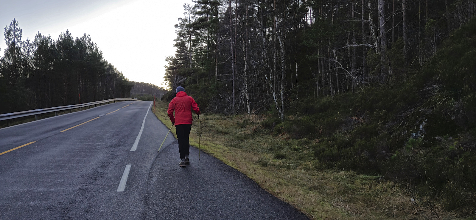
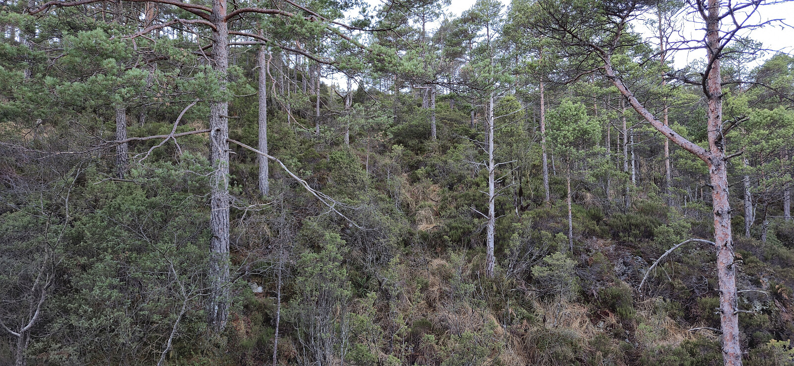
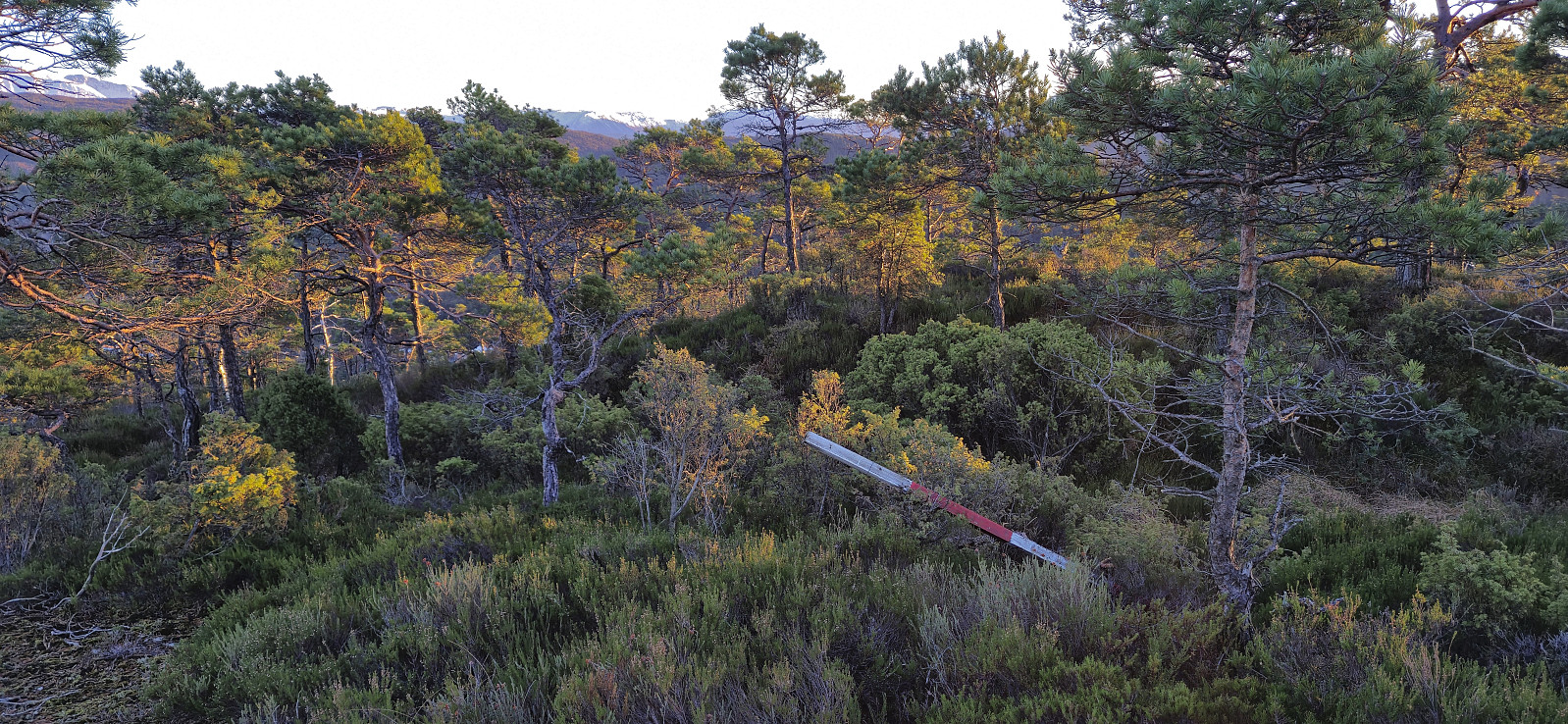
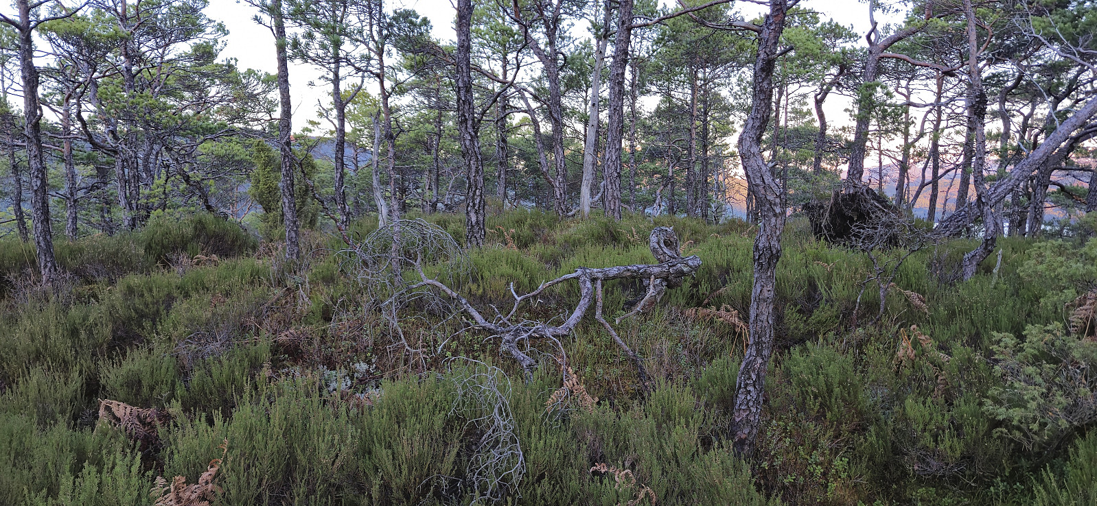
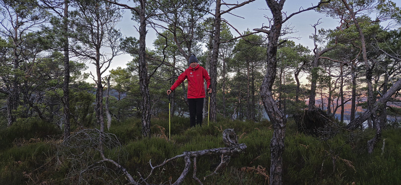
No trails but there were plenty of deer tracks making the progress relatively straightforward. On our way to the highest point we made a short detour to where Vågahovda was indicated on the map. Here we came across a fallen trig marker. From there we completed the rest of the distance to the summit, or rather summits, as there were at least two options. There is also a third option about 100 meters to the west, however the lidar data indicates that this point is around 20 cm lower (but may still be worth a visit due to potentially better views?). We descended along more or less the same route but avoided most of the unnecessary minor ups and downs from the ascent.
In summary, Vågahovda can be easily ascended but is clearly more of an acquired taste and not a peak most hikers will feel the urge to visit.
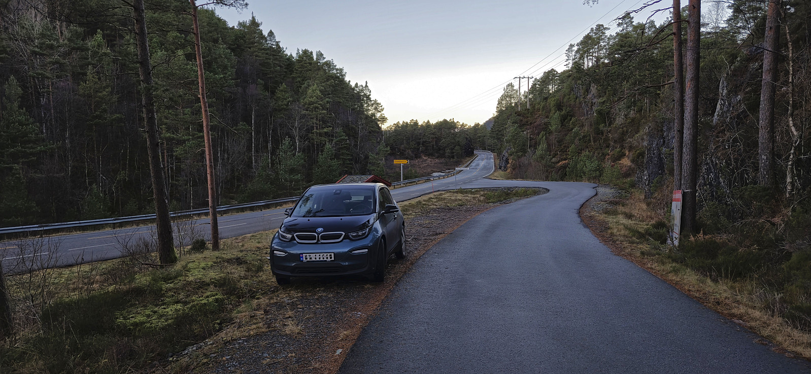
Satisfied with two new peaks in the bag, and a recompletion of no less than four lists, we started the drive back to Bergen. Our plan involved a pitstop in Eikelandsosen to charge the electric car, but with one charging station out of order and another requiring a cable that we did not possess, we had to instead bet everything on making it to the charging station at Trengereid.
But upon arriving at Bjørkheim we had to conclude that this would not be possible and thus made a stop at the gas station. Here they did not have a charging station but we could use a standard power outlet at the back. Apparently, we were not the first visitors with this particular problem. :)
Around 45 minutes later, we decided to make an attempt at reaching the charging station at Trengereid, with the steep ascent to Gullbotn being the main challenge. It quickly became clear that it would be a close call with the number of estimated km left dropping very quickly. When we made it to the highest point and started rolling down the hill to Trengereid the screen indicated max 2 km left! After 15 minutes of proper charging we could finally complete the drive to Bergen.
Takk for en flott og innholdsrik dag, Petter!
| Startzeitpunkt | 08.12.2024 14:35 (UTC+01:00) |
| Endzeitpunkt | 08.12.2024 15:38 (UTC+01:00) |
| Gesamtzeit | 1h 02min |
| Zeit in Bewegung | 0h 57min |
| Pausenzeit | 0h 4min |
| Gesamtschnitt | 1,8km/h |
| Bewegungsschnitt | 1,9km/h |
| Entfernung | 1,8km |
| Höhenmeter | 145m |


Benutzerkommentare