
Hatten, Snaufjellet and Dalsfjellet (08.06.2024)

Geschrieben von hbar (Harald Barsnes)

| Startpunkt | Nordbygda skule (56m) |
|---|---|
| Endpunkt | Nordbygda skule (56m) |
| Tourcharakter | Bergtour |
| Tourlänge | 3h 31min |
| Entfernung | 9,1km |
| Höhenmeter | 708m |
| GPS |
|
| Besteigungen | Hatten (370m) | 08.06.2024 15:45 |
|---|---|---|
| Snaufjellet, SØ (284m) | 08.06.2024 16:17 | |
| Snaufjellet (425m) | 08.06.2024 16:45 | |
| Dalsfjellet (356m) | 08.06.2024 17:20 |
Hatten, Snaufjellet and Dalsfjellet
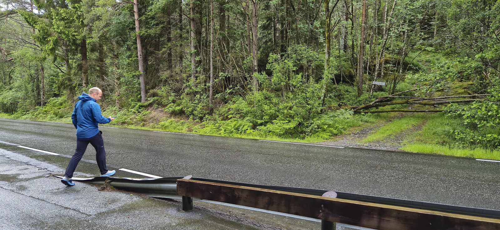
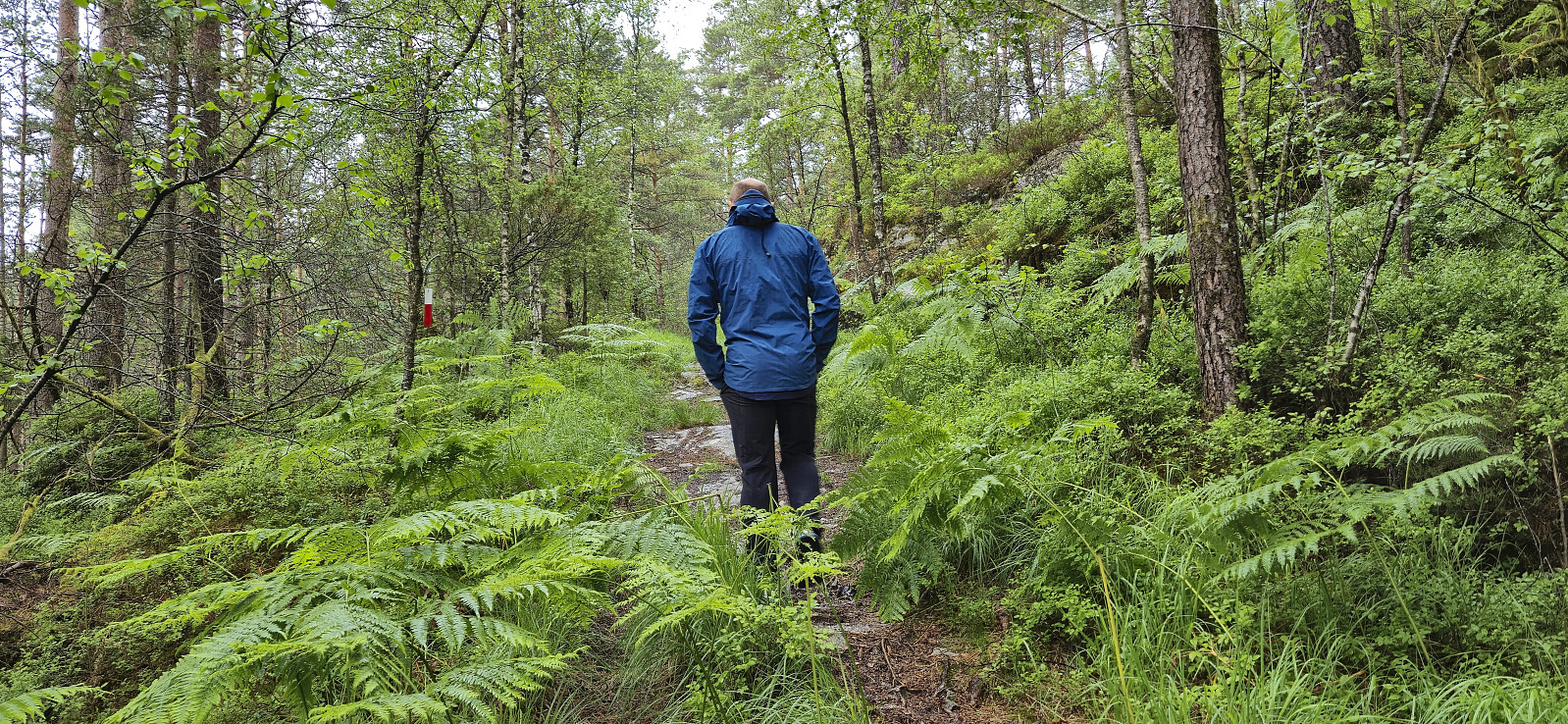
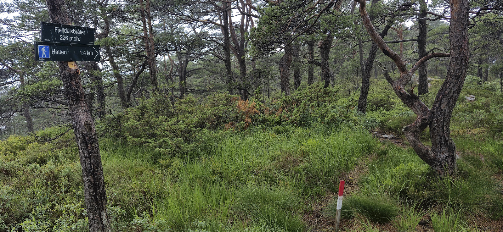

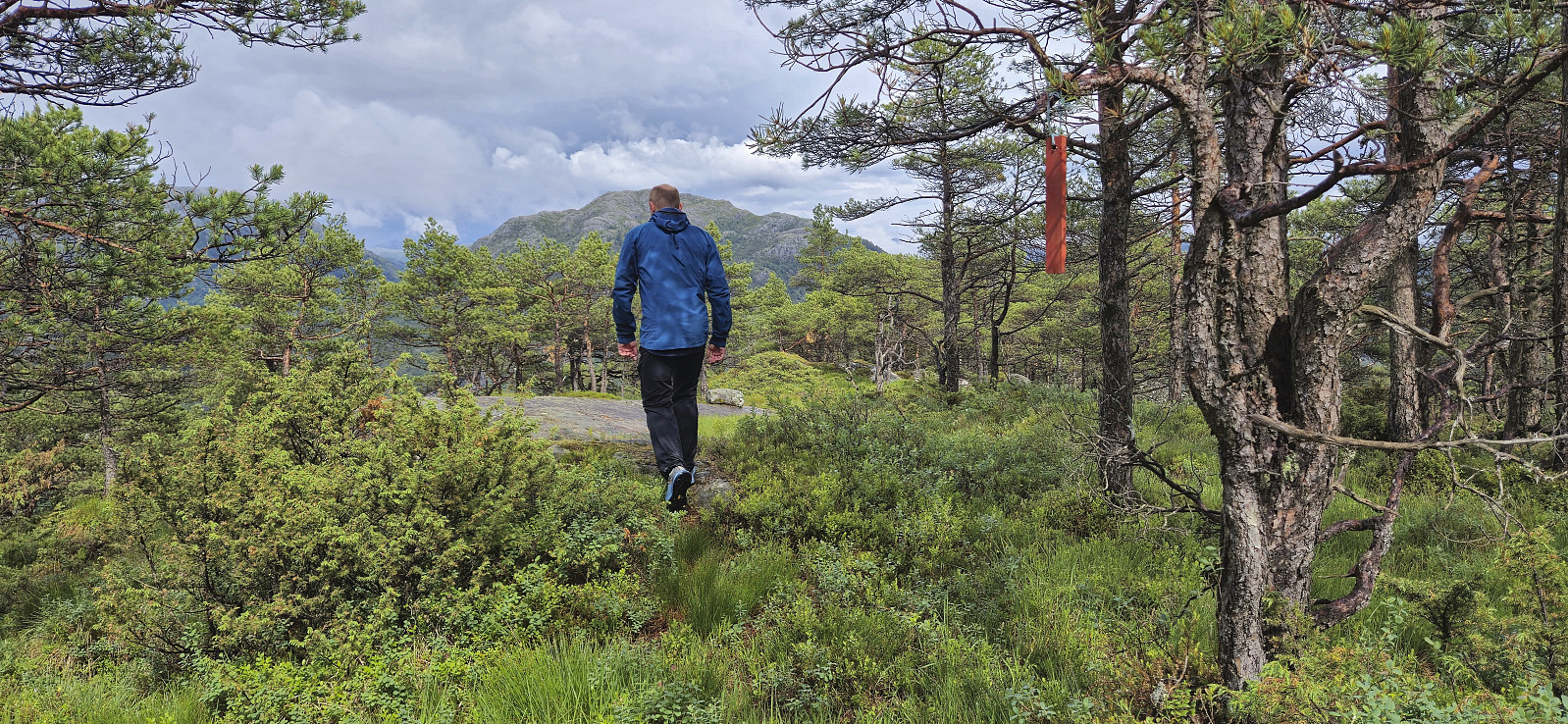

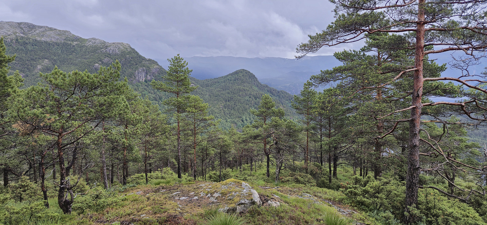
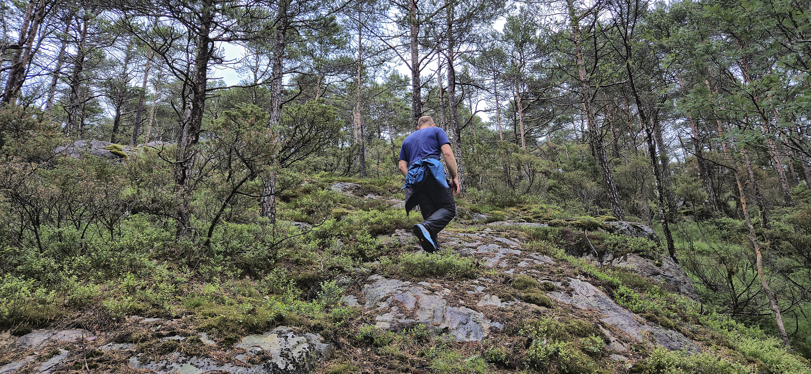
During the drive south from the ascent of Merkesholten, the rain had picked up in intensity and when we parked next to Nordbygda skule we even waited a couple of minutes in the car with the hope that the conditions would improve. But in the end we could not wait all day and left the car to start the final hike of the day. As it later turned out it would not take long before the rain would stop anyway. After a short walk west along the main road we crossed the road and located the marked trailhead for Hatten. From there it was simply a matter of following the winding marked trail all the way to the summit, or rather to a vantage point just west of the summit. The summit, or maybe more correctly the summit area, as there were at least three potential highest points to choose from, was located around 50 meters to the east.
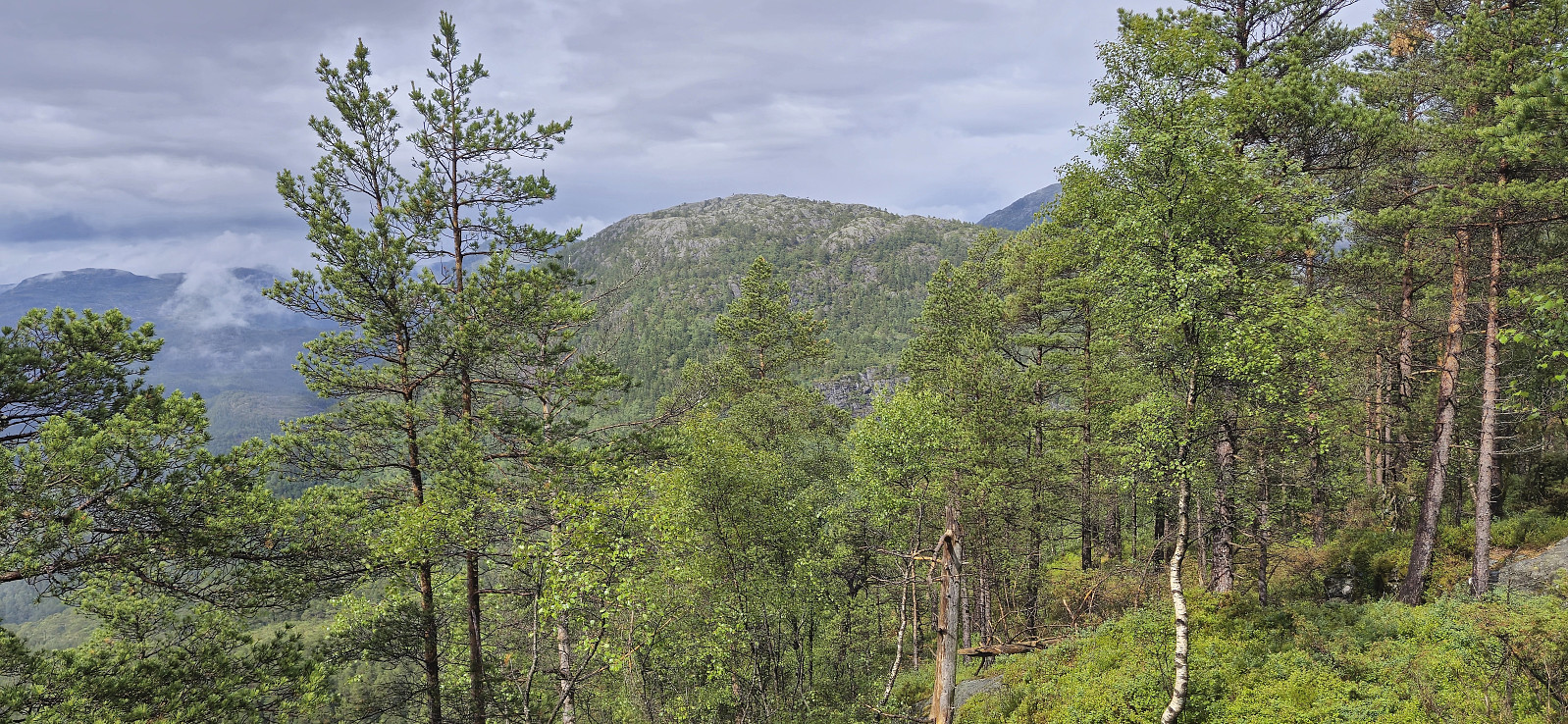
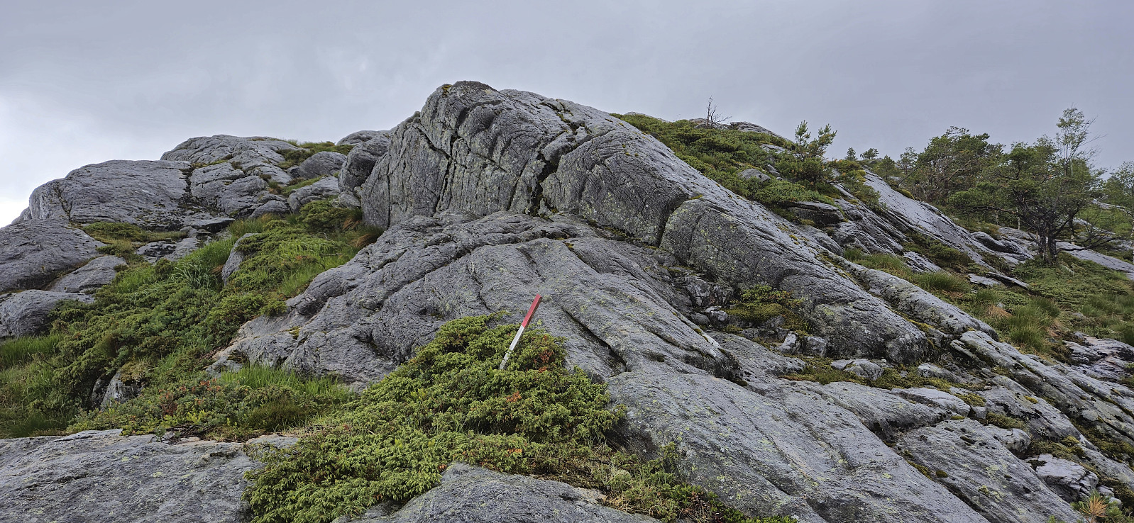
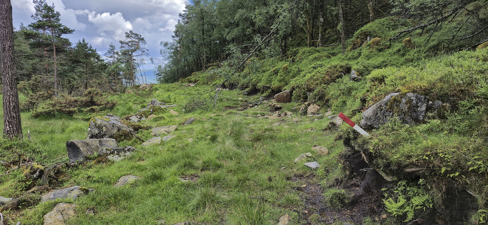
After visiting all of the most likely candidates for the highest point, we continued northeast along the ridge in order to later turn northwest and ascend Snaufjellet. For this part of the hike we had found inspiration from elbow's trip report where he followed a similar route. But like him we also struggled to locate and follow the trail markers, both the old white ribbons and the newer red wooden ones. The trail itself was also very weak, if visible at all, and for much of the descent we therefore had to find our own way.
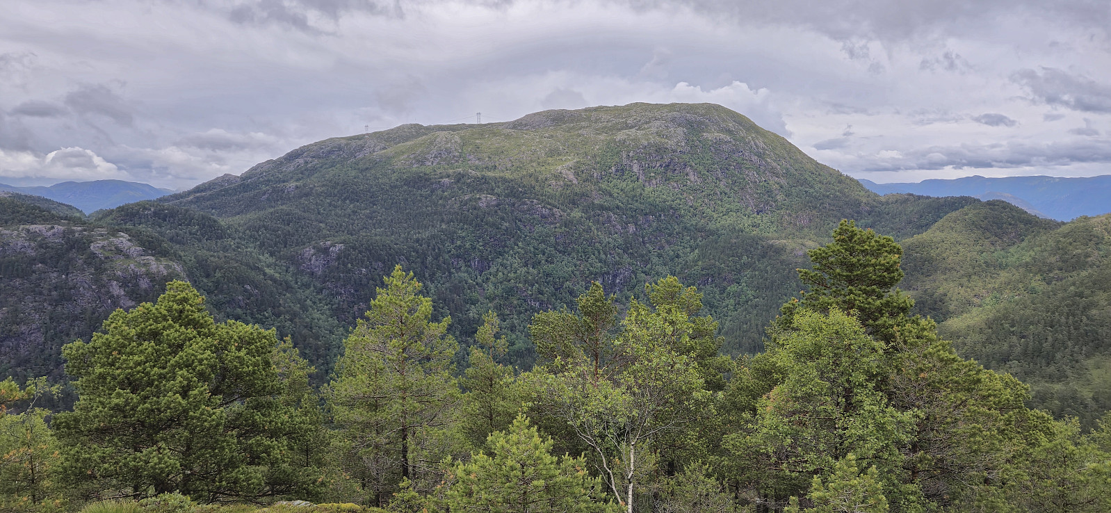
The red trail markers would however later reappear and we could shortly follow these but when we wanted to turn north/northwest to start the ascent of Snaufjellet the marked trail continued descending in the direction of Molland on the south side of Snaufjellet, SØ. We therefore left the markers and instead followed elbow's track via Snaufjellet, SØ. There was a trail here as well though and there was even the occasional old white marker, although we were not always sure whether we were on the trail or not. In total, it did however make it relatively easy to make progress towards the summit.
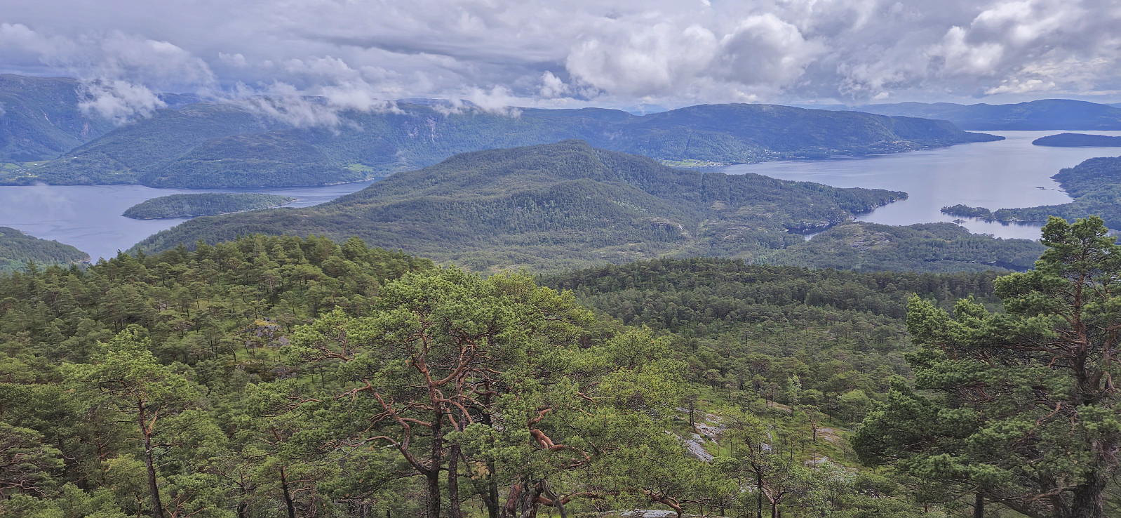
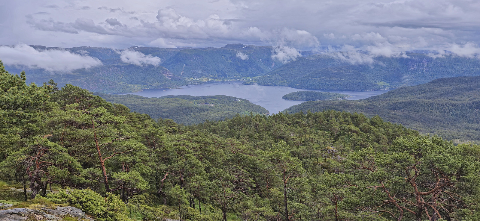
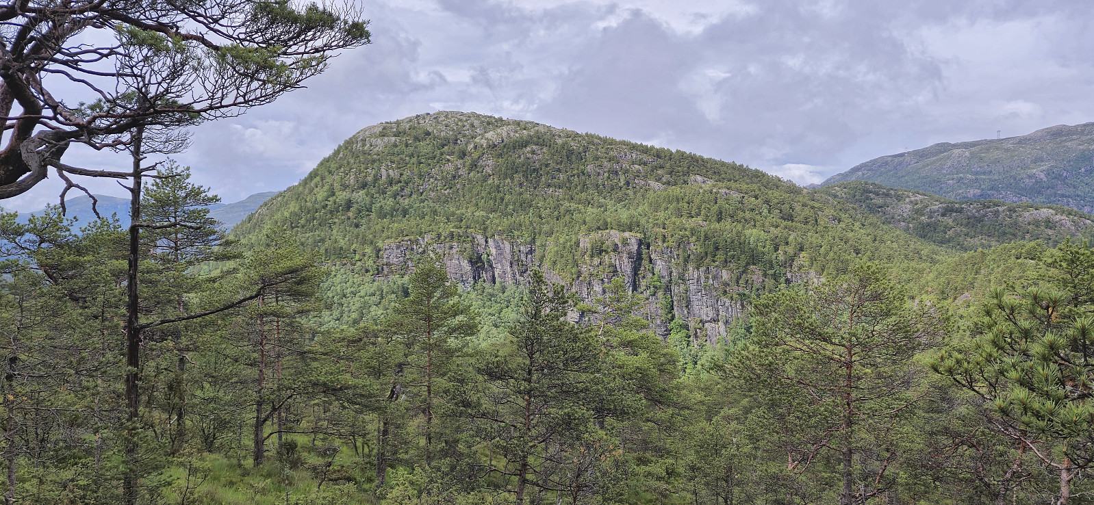
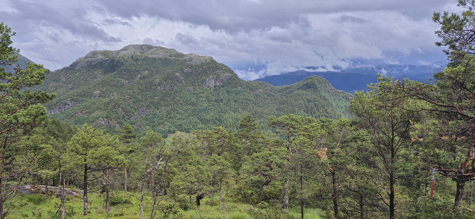
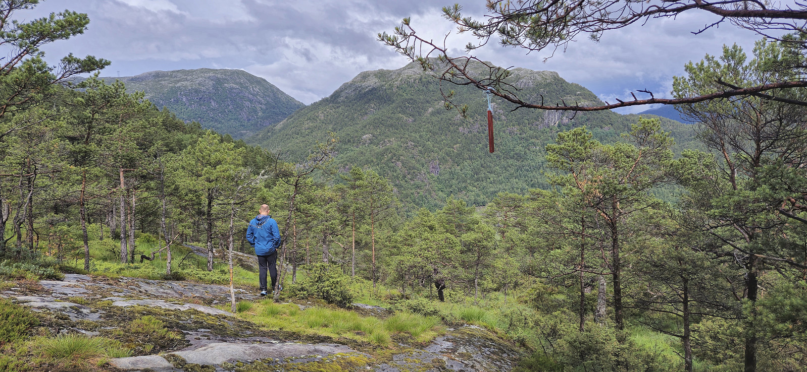
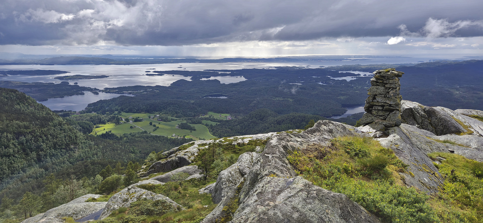
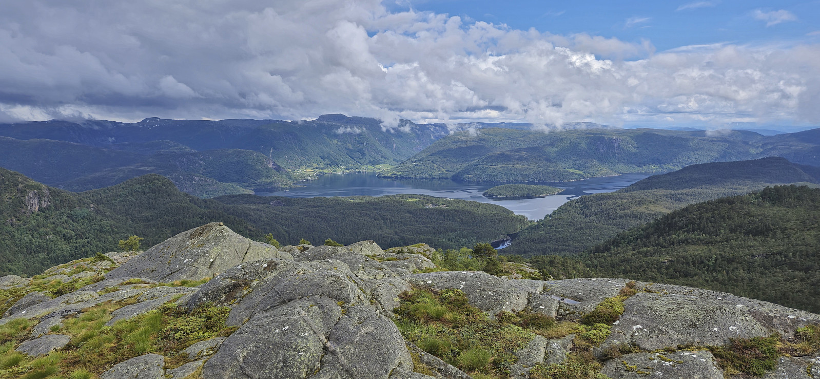
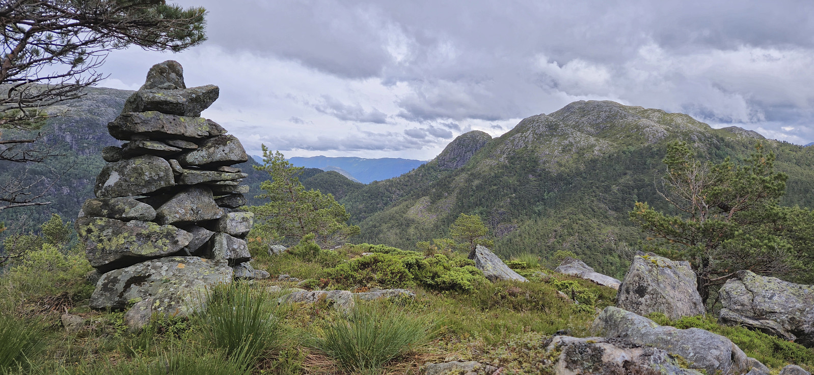
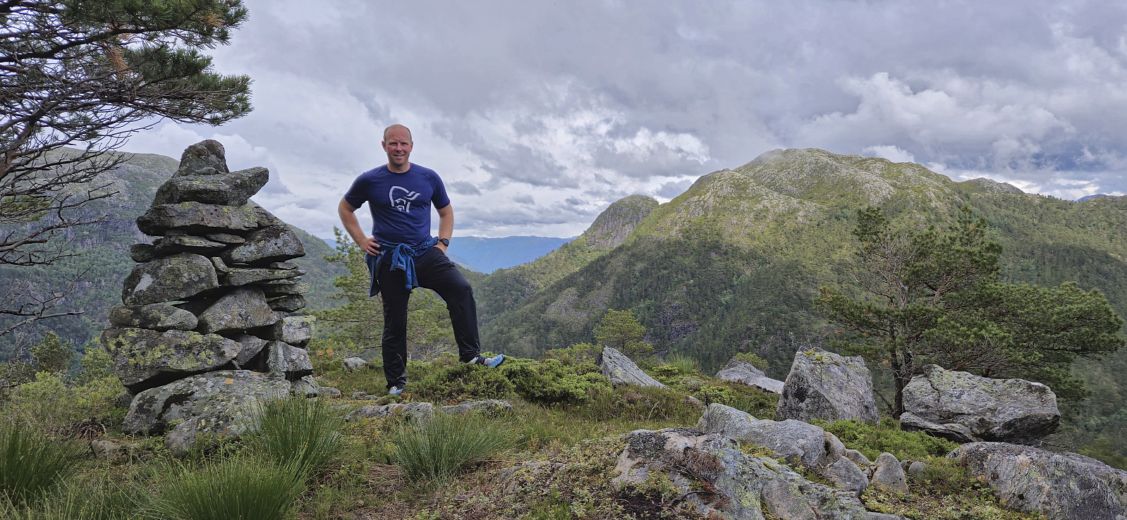
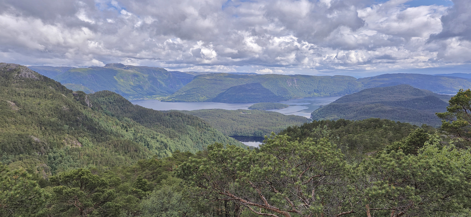
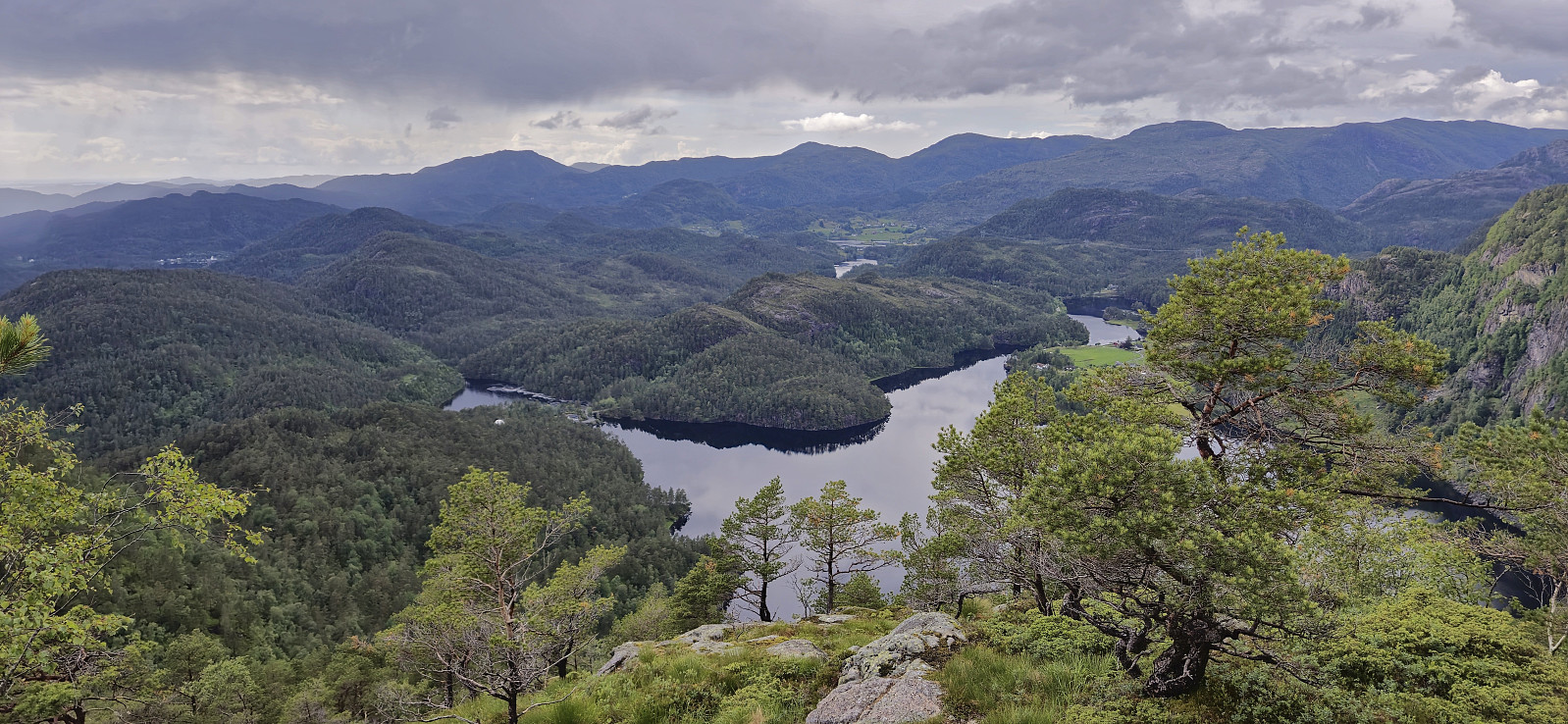
As we approached the summit a trail/route marked with the familiar red wooden markers suddenly appeared from the west, but where this trail comes from is unclear to us. Maybe from Hindevatnet west of the summit? In any case, at this point we really did not need any markers to locate the large Snaufjellet summit cairn. Excellent panoramic views from the summit that were made even better by the low-hanging clouds starting to disappear and the sun making a brief return.
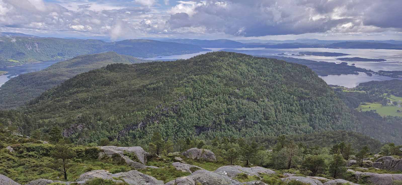
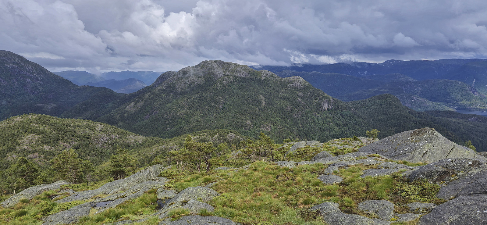
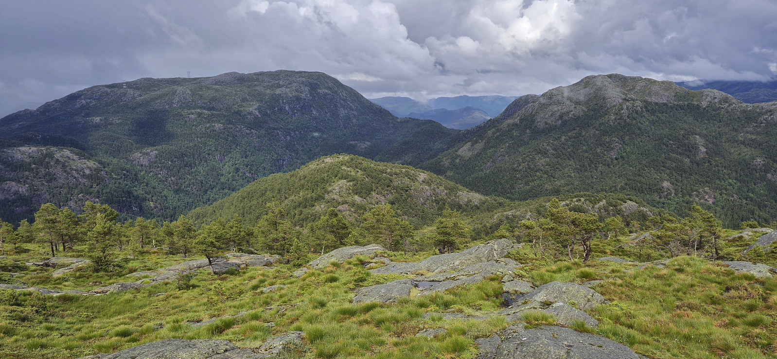
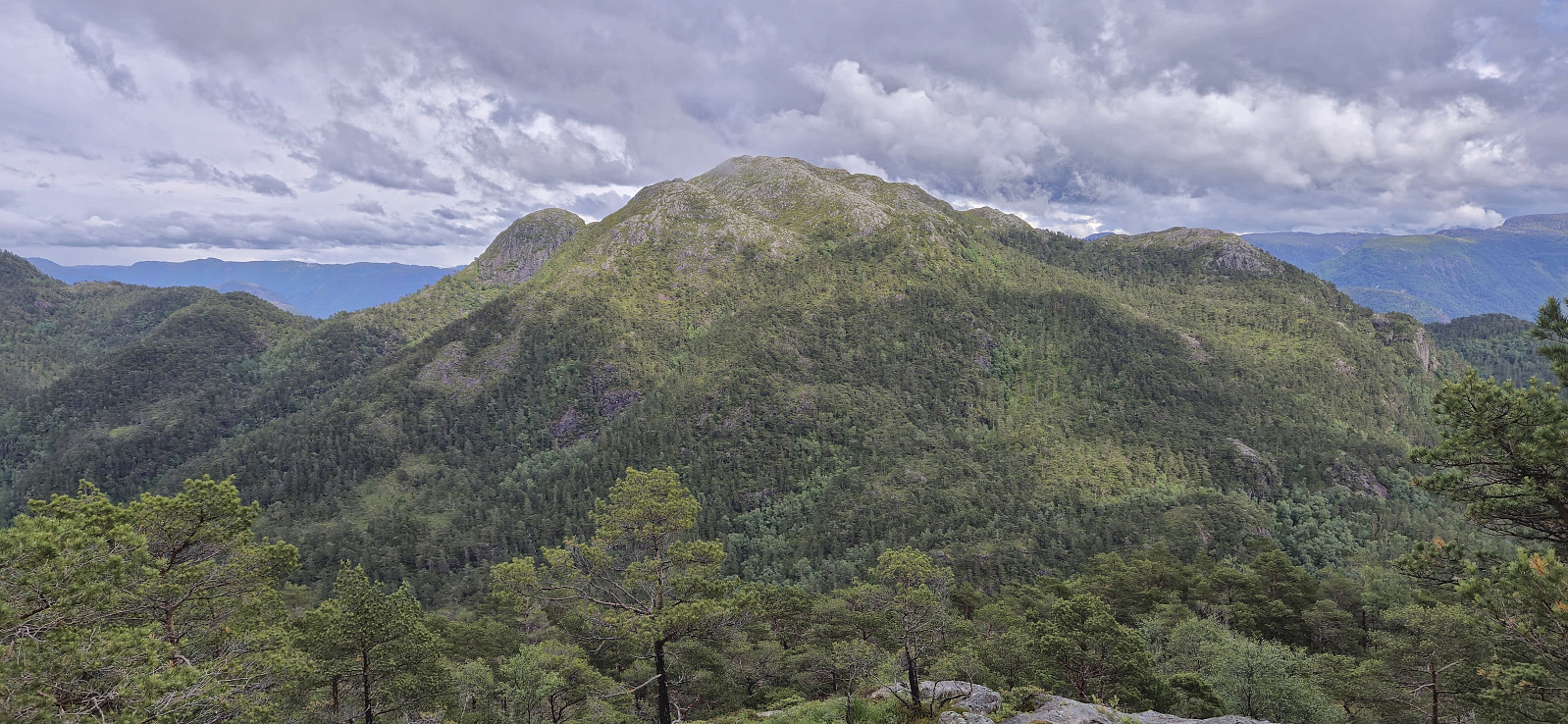
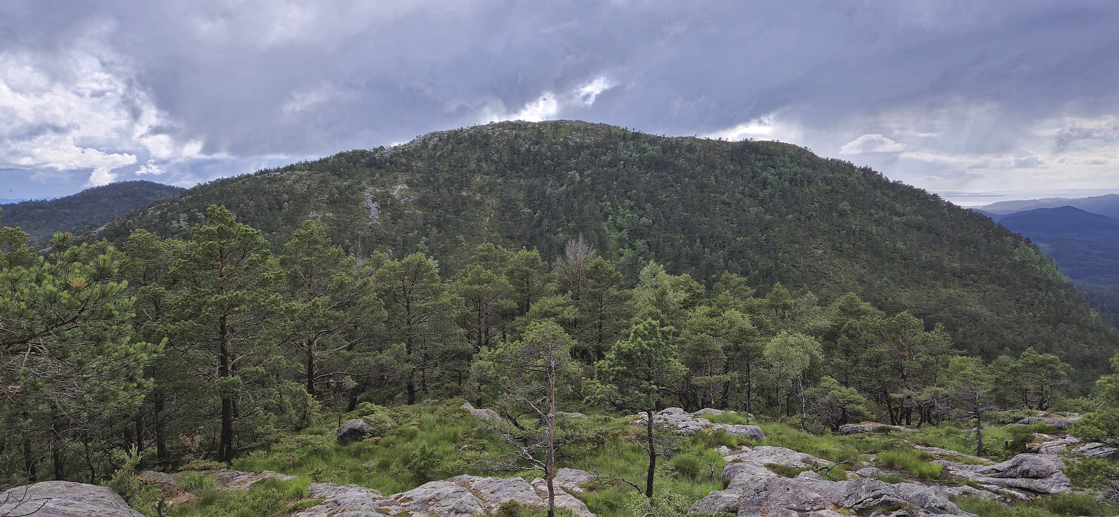
We now turned our attention to the final goal of the day: Dalsfjellet. From Snaufjellet we headed straight down into Breidskaret, not bothering to look for trails or expecting there to be any, and from there could easily ascend along the ridge from the west, partly following various animal tracks. The Dalsfjellet summit provided better views than expected and even had its own summit cairn. After a couple of pictures we returned the same way to Breidskaret.
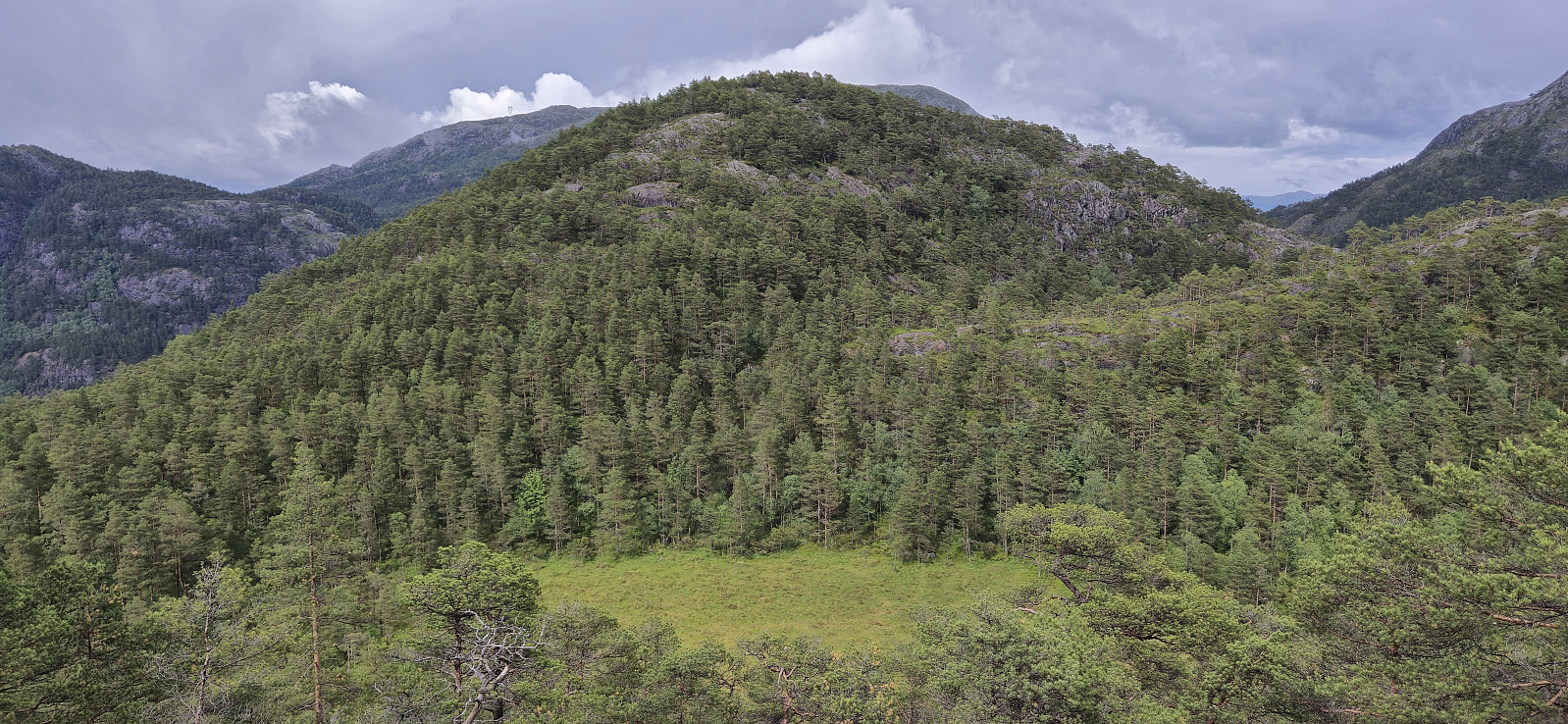
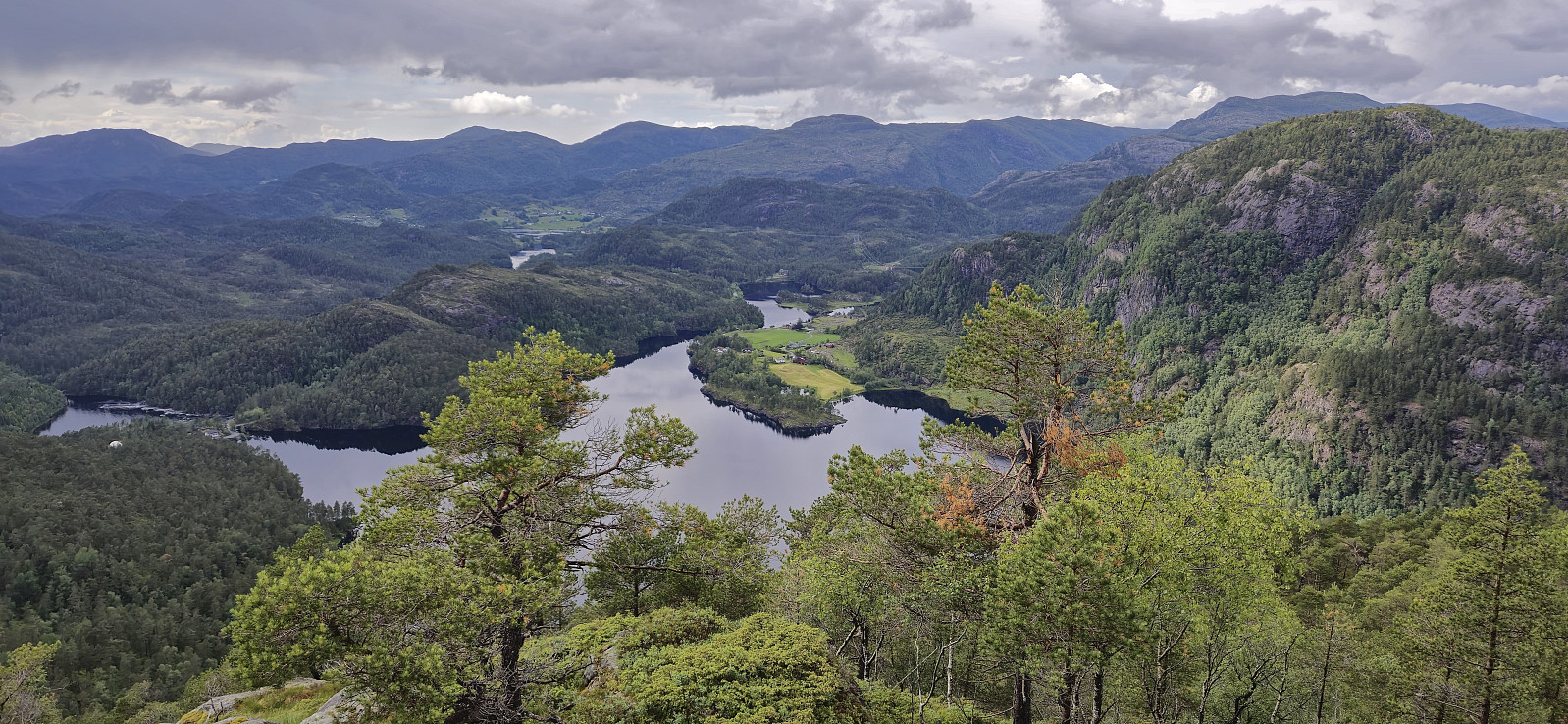
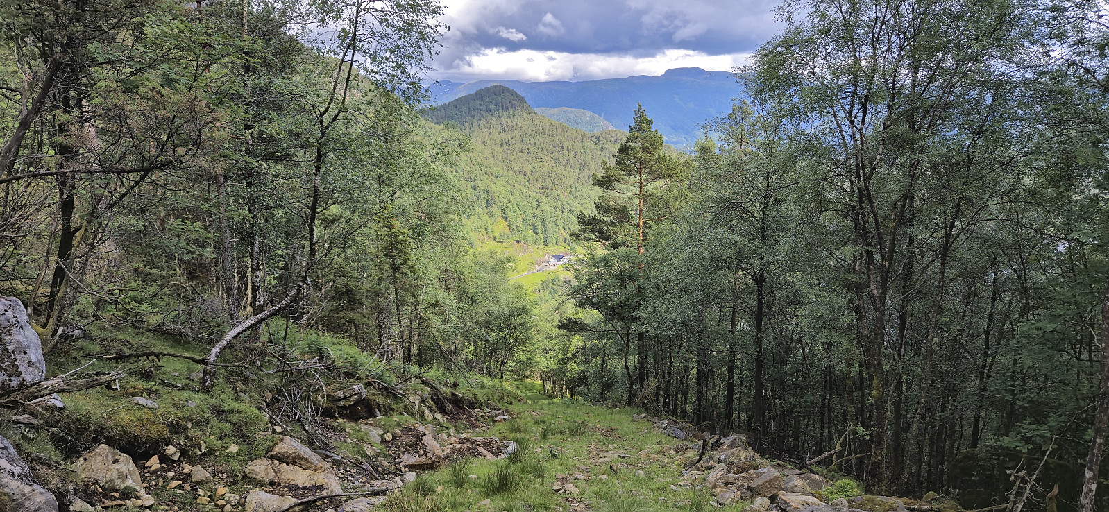
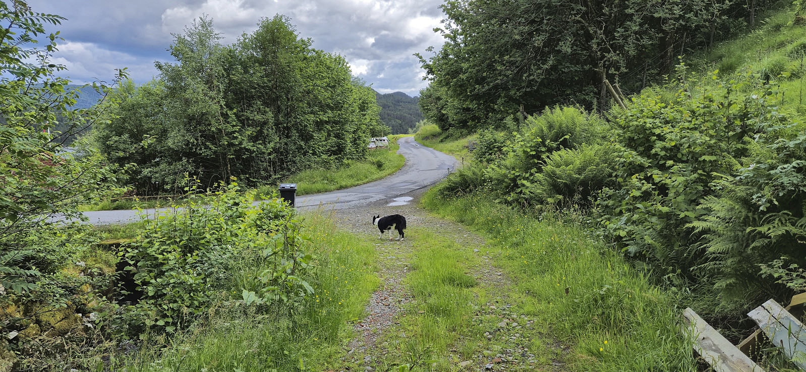
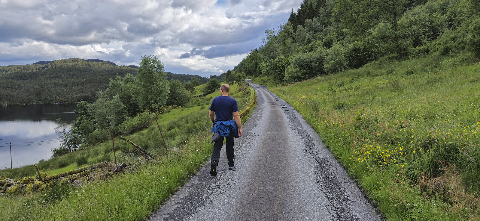
Our plan had been to end the hike via an off-trail descent southeast to Molland. However, when we got to the start of the assumed off-trail ascent we came across a relatively new tractor road, there was even a single trail marker, that would much more easily take us down to Molland. I guess that in order to correct for this we instead had some minor issues at the very end. First, a tiny bit of backtracking was required as we got away from the tractor road, and finally, by a barking dog blocking our way to the main road. Thankfully, both challenges could be solved without much trouble and we were finally on the last leg of the hike, the roughly 2 km walk along the paved roads back to Nordbygda skule, thus completing our second 7-mountains hike in Masfjorden (17.2 km, 1385 meters ascent)!
Takk for nok en strålende turdag i Masfjorden, Endre!

| Startzeitpunkt | 08.06.2024 14:50 (UTC+01:00 SZ) |
| Endzeitpunkt | 08.06.2024 18:22 (UTC+01:00 SZ) |
| Gesamtzeit | 3h 31min |
| Zeit in Bewegung | 3h 13min |
| Pausenzeit | 0h 18min |
| Gesamtschnitt | 2,6km/h |
| Bewegungsschnitt | 2,8km/h |
| Entfernung | 9,1km |
| Höhenmeter | 708m |


User comments