
Melshovden (08.06.2024)

Geschrieben von hbar (Harald Barsnes)

| Startpunkt | Rambjørg (59m) |
|---|---|
| Endpunkt | Rambjørg (59m) |
| Tourcharakter | Bergtour |
| Tourlänge | 0h 52min |
| Entfernung | 2,2km |
| Höhenmeter | 207m |
| GPS |
|
| Besteigungen | Melshovden (257m) | 08.06.2024 11:50 |
|---|
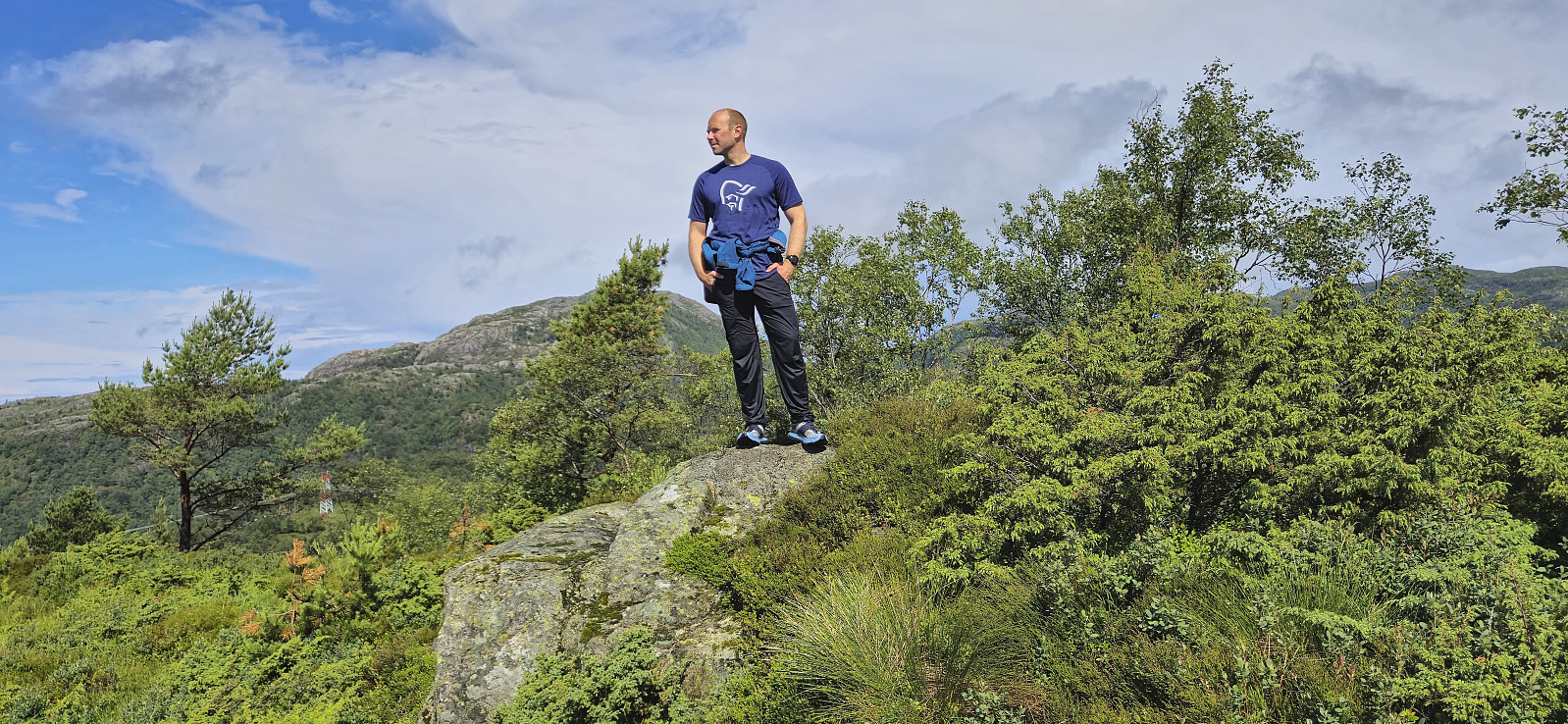
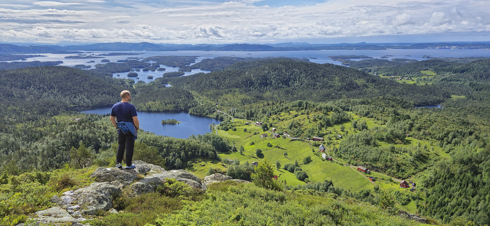
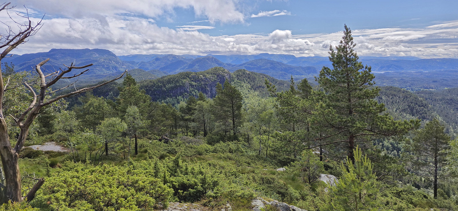
Melshovden
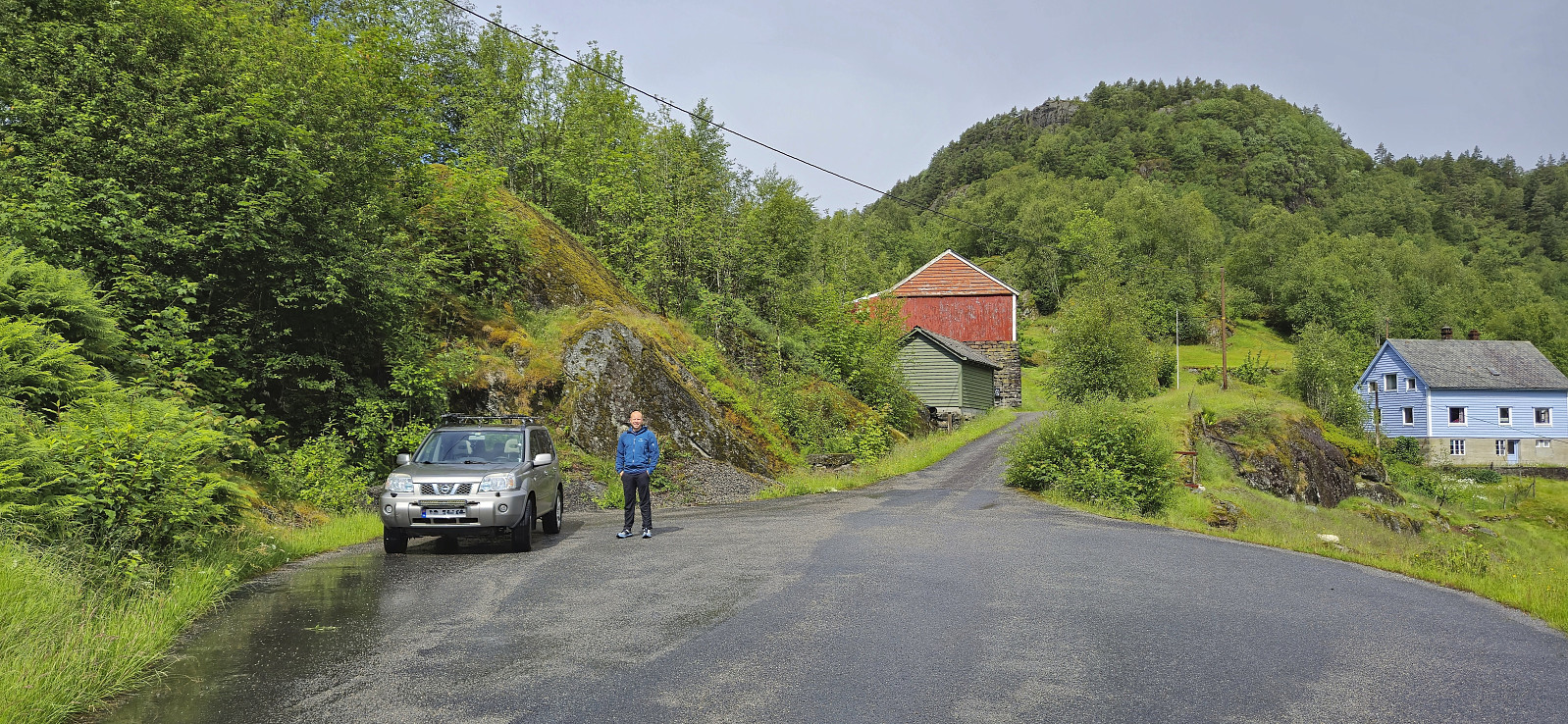
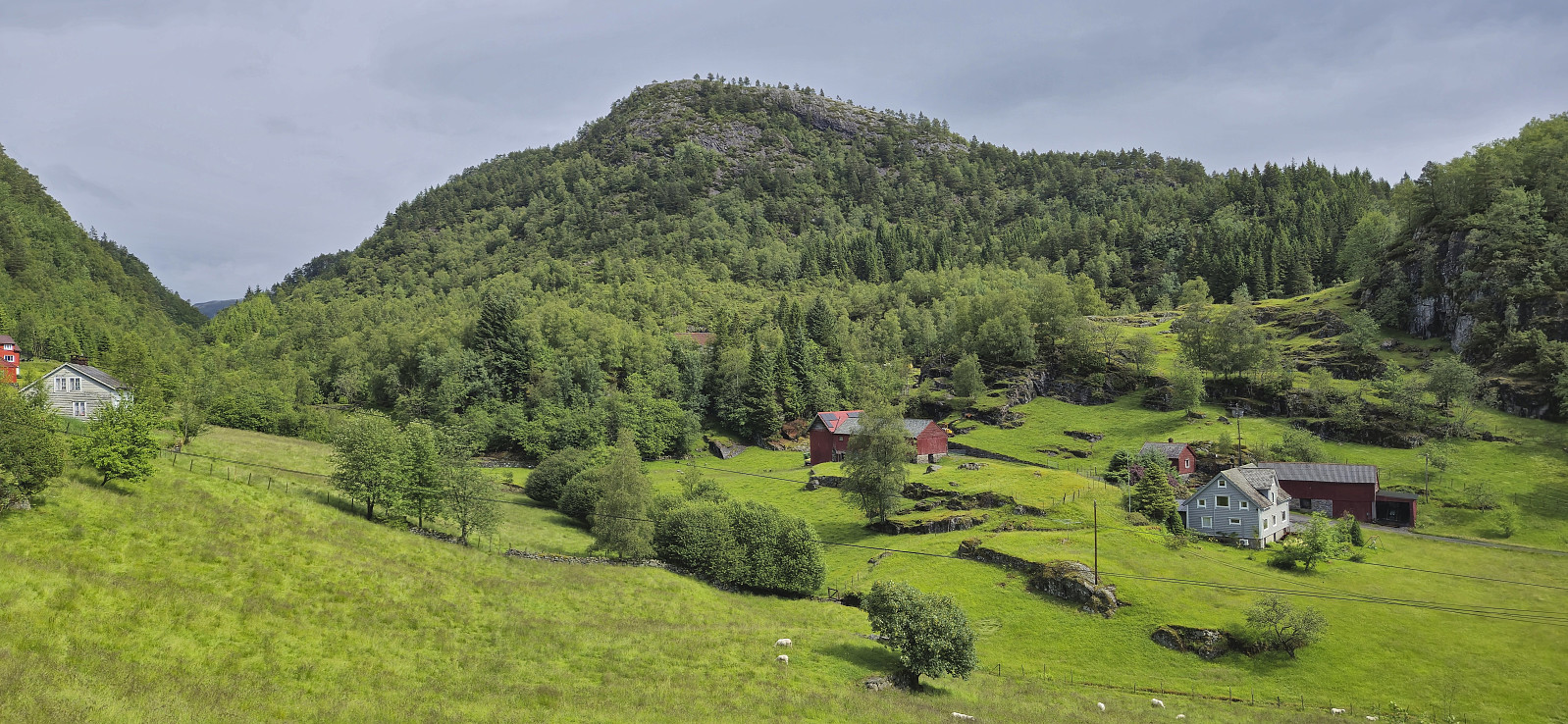
After the short drive from Ytre Haugsdal and our ascent of Svelikulten, we found parking next to the road at Rambjørg and from there followed a tractor road north. To our surprise the rain, which according to the forecast was supposed to last all day, had now been replaced by sunshine and we definitely did not complain.
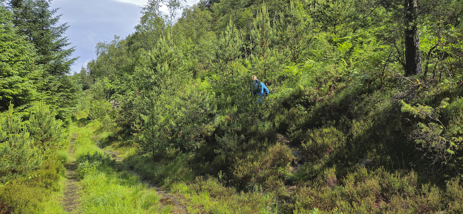
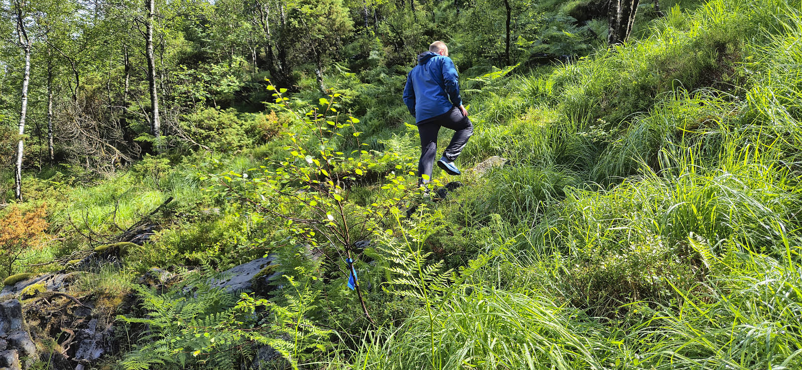
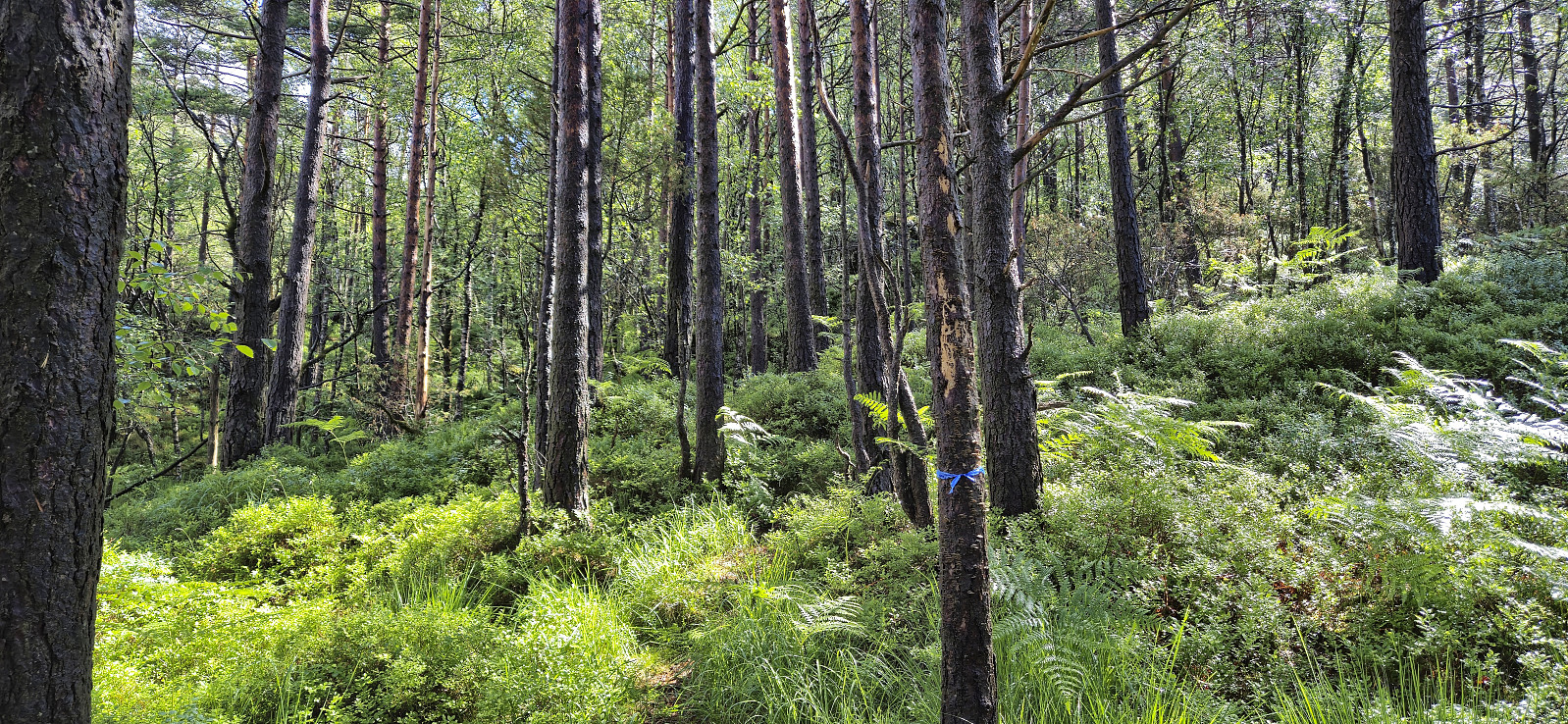
The steep trail up to the summit of Melshovden was marked with blue ribbons but the trailhead could still easily have been missed if it weren't for the GPS tracks from previous trip reports. The trail itself was also partly hidden underneath the tall grasses and ferns but was still relatively easy to follow. Excellent views from the summit and overall a nice short hike that can be recommended.
We returned the same way and then drove a short distance south to ascend Beinvedfjellet.
| Startzeitpunkt | 08.06.2024 11:27 (UTC+01:00 SZ) |
| Endzeitpunkt | 08.06.2024 12:19 (UTC+01:00 SZ) |
| Gesamtzeit | 0h 52min |
| Zeit in Bewegung | 0h 43min |
| Pausenzeit | 0h 9min |
| Gesamtschnitt | 2,5km/h |
| Bewegungsschnitt | 3,0km/h |
| Entfernung | 2,2km |
| Höhenmeter | 206m |


Benutzerkommentare