
Five summits southeast of Grindaflethytta from Brandset (09.03.2024)

Geschrieben von hbar (Harald Barsnes)

| Startpunkt | Brandset p-plass (570m) |
|---|---|
| Endpunkt | Brandset p-plass (570m) |
| Tourcharakter | Tourenskilauf |
| Tourlänge | 11h 29min |
| Entfernung | 41,4km |
| Höhenmeter | 2.034m |
| GPS |
|
| Besteigungen | Kaldanuten (1.437m) | 09.03.2024 |
|---|---|---|
| Raudeggi (1.313m) | 09.03.2024 | |
| Såta (1.314m) | 09.03.2024 | |
| Såteggi (1.399m) | 09.03.2024 | |
| Såteggi Nord (1.426m) | 09.03.2024 | |
| Besuche anderer PBE | Brandset p-plass (570m) | 09.03.2024 |
| Grindaflethytta (1.090m) | 09.03.2024 |
Five summits southeast of Grindaflethytta from Brandset
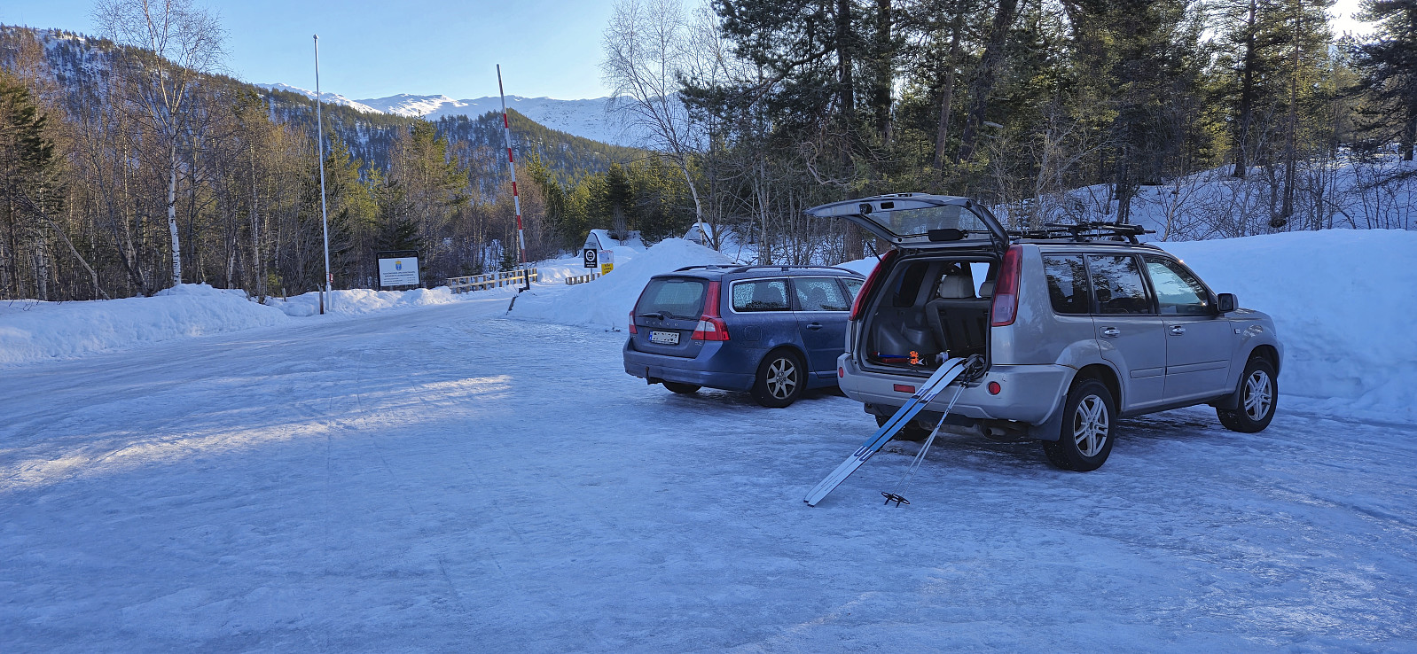


In order to make the most out of the excellent weather, and due to road work at Dalseide, Endre picked me up at my place just before six in the morning and together we drove to Brandset at Voss, only having to wait around ten minutes before we could pass through Dalseidtunnelen at 07:00. We arrived at the parking lot at Brandset around 08:30 and it did not take long before we were ready to start skiing.
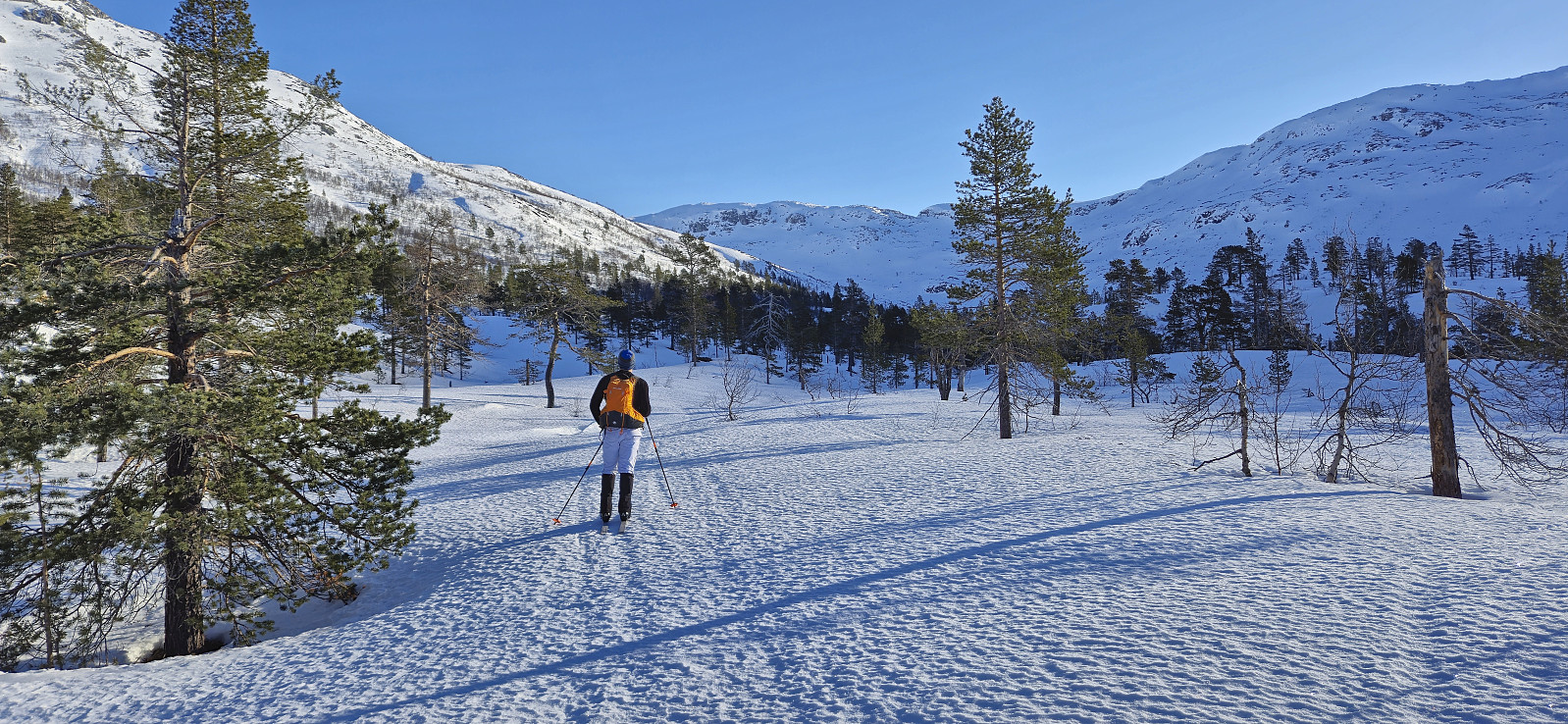
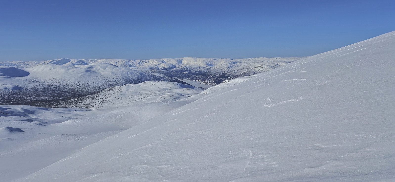
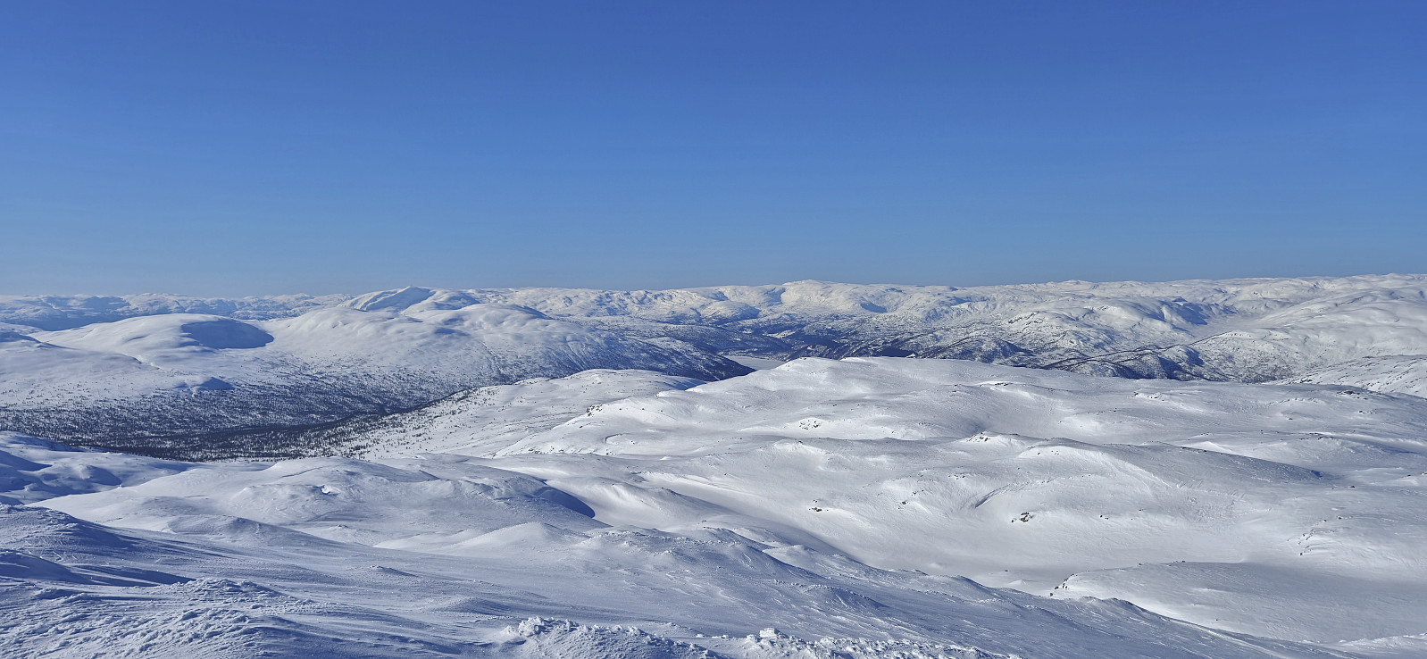
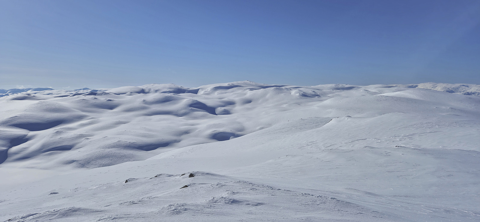
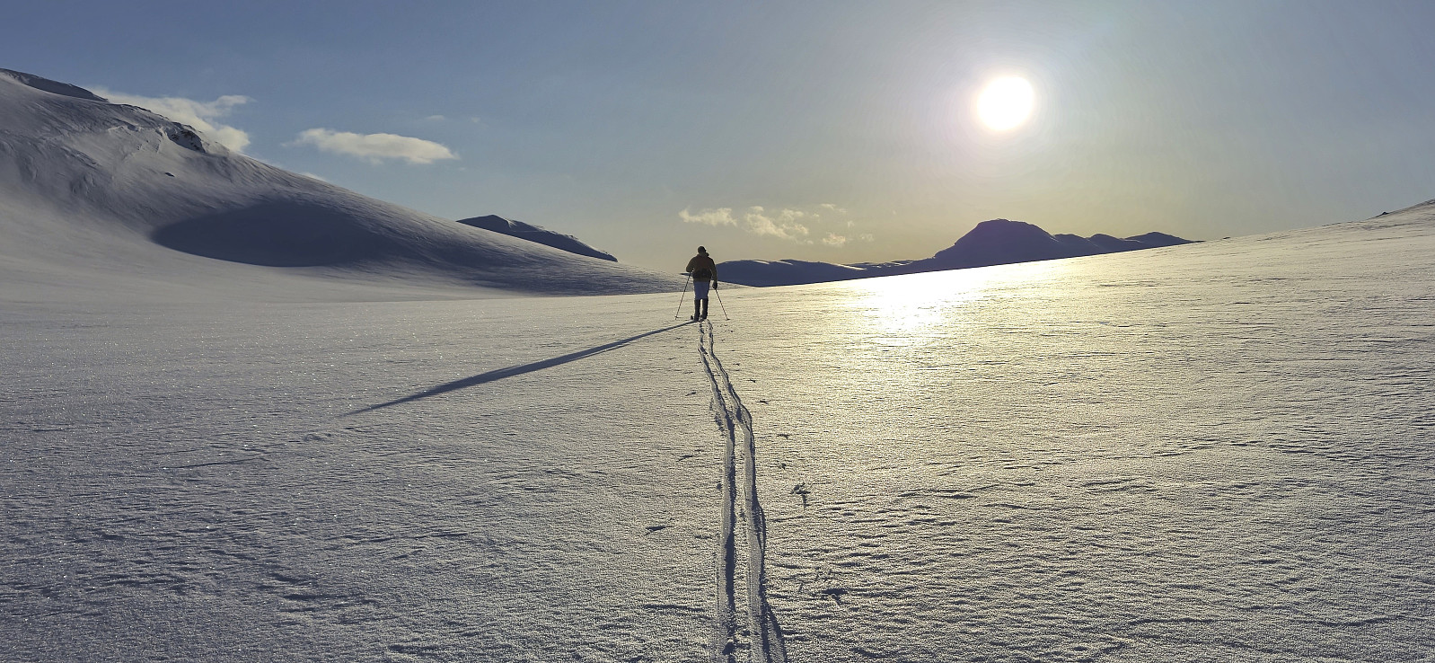
We started by following the icy road into Bjørndalen before leaving the scooter trails behind and making our own way up towards Bjørndalsvatnet. Below roughly 1100 meters the snow was very hard, more ice than snow, but higher up the conditions gradually improved and we therefore had pretty good skiing conditions for the majority of the trip.
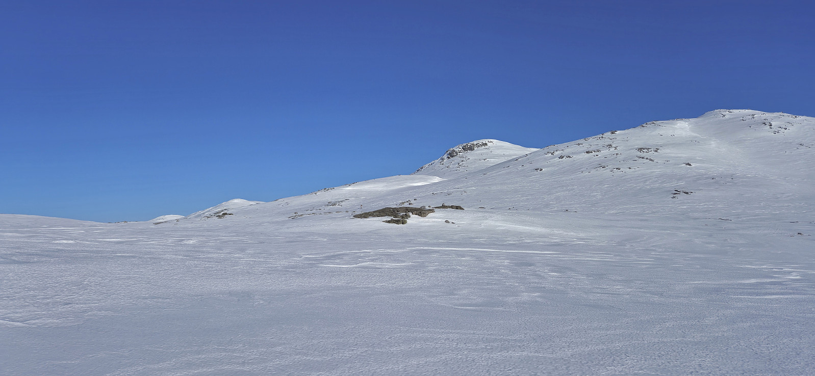
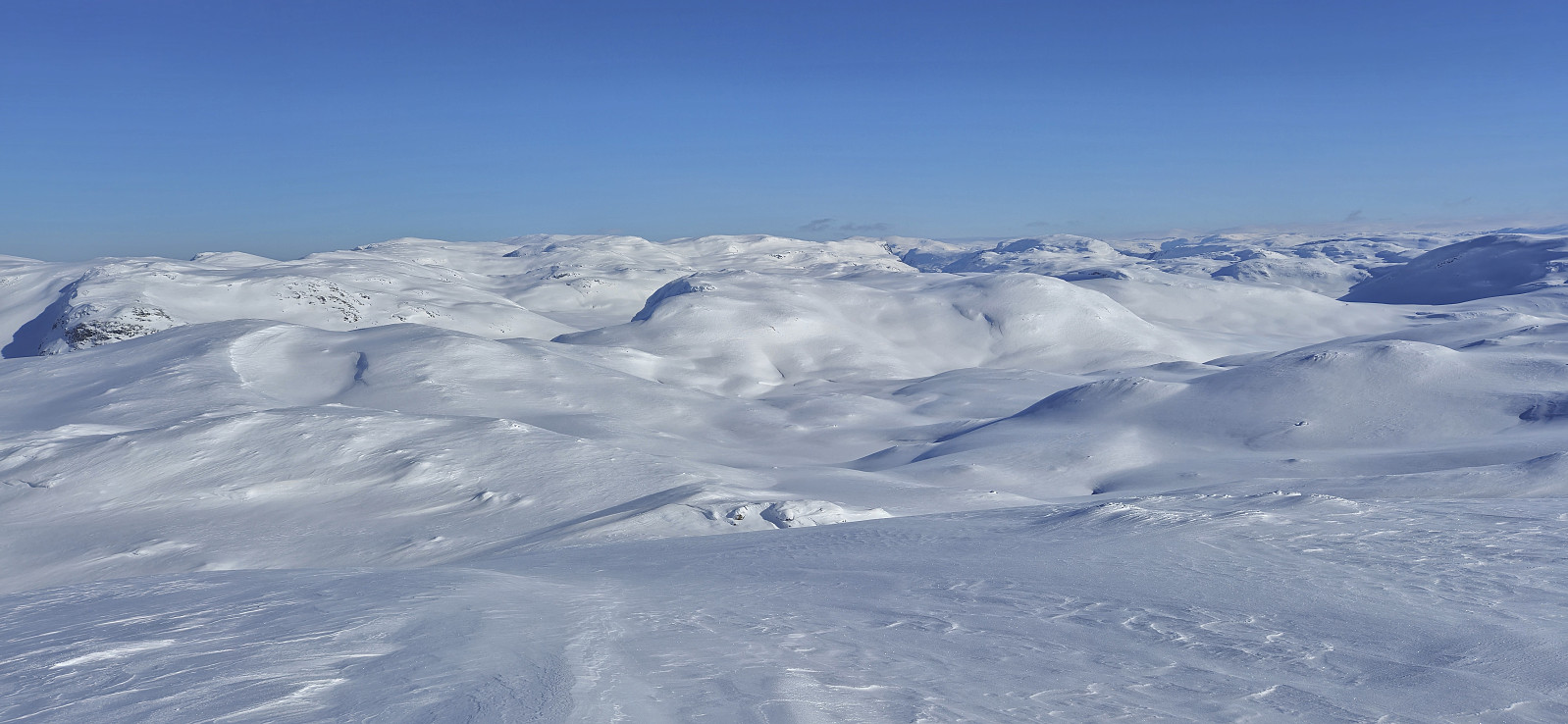
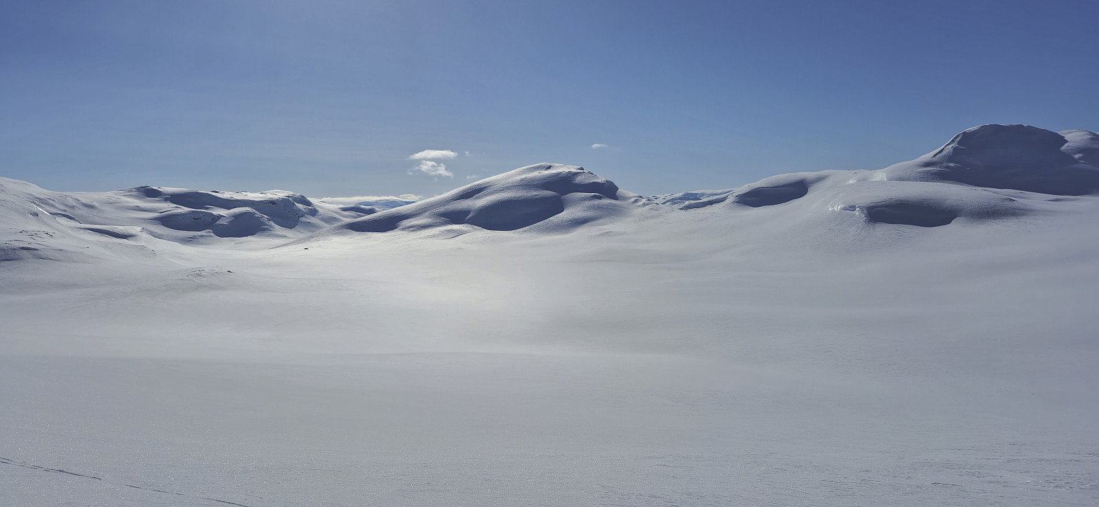
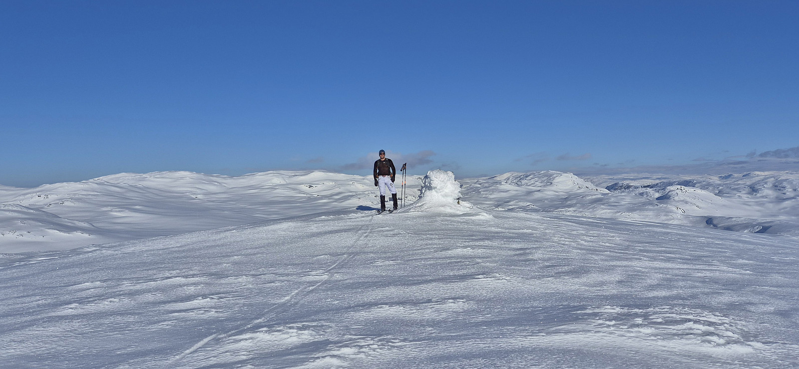
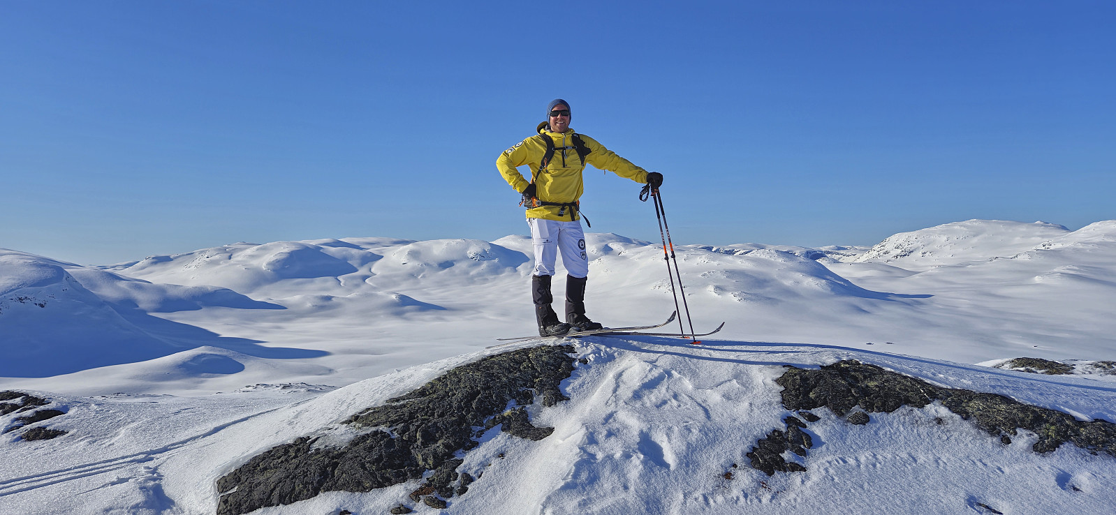
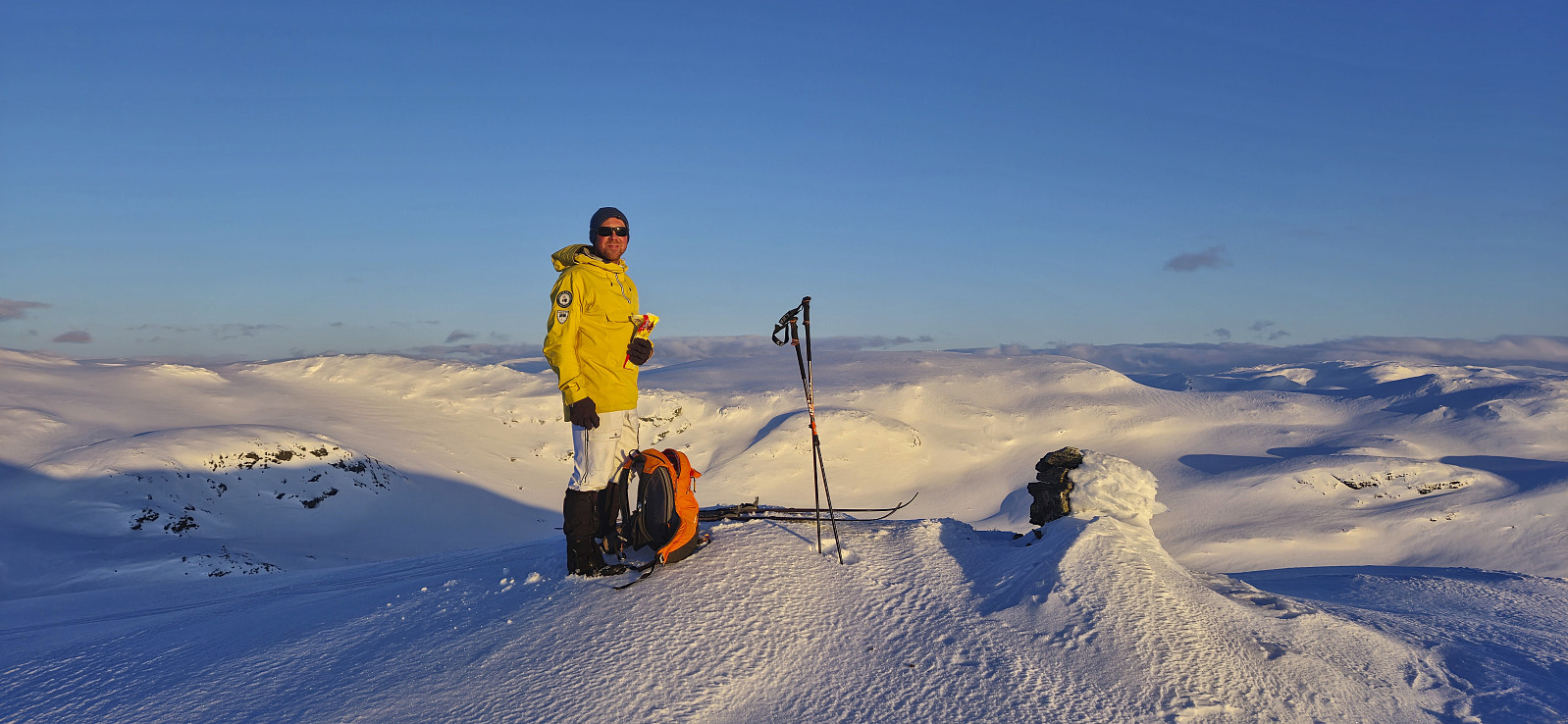
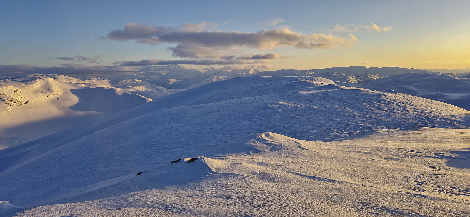
After a short break west of Bjørndalsvatnet we completed the final ascent to the summit of Kaldanuten where we could enjoy the excellent views and finally get an overview of the rest of the planned roundtrip. Due to a cold wind we however did not stay long and quickly removed the climbing skins and continued towards Såteggi.
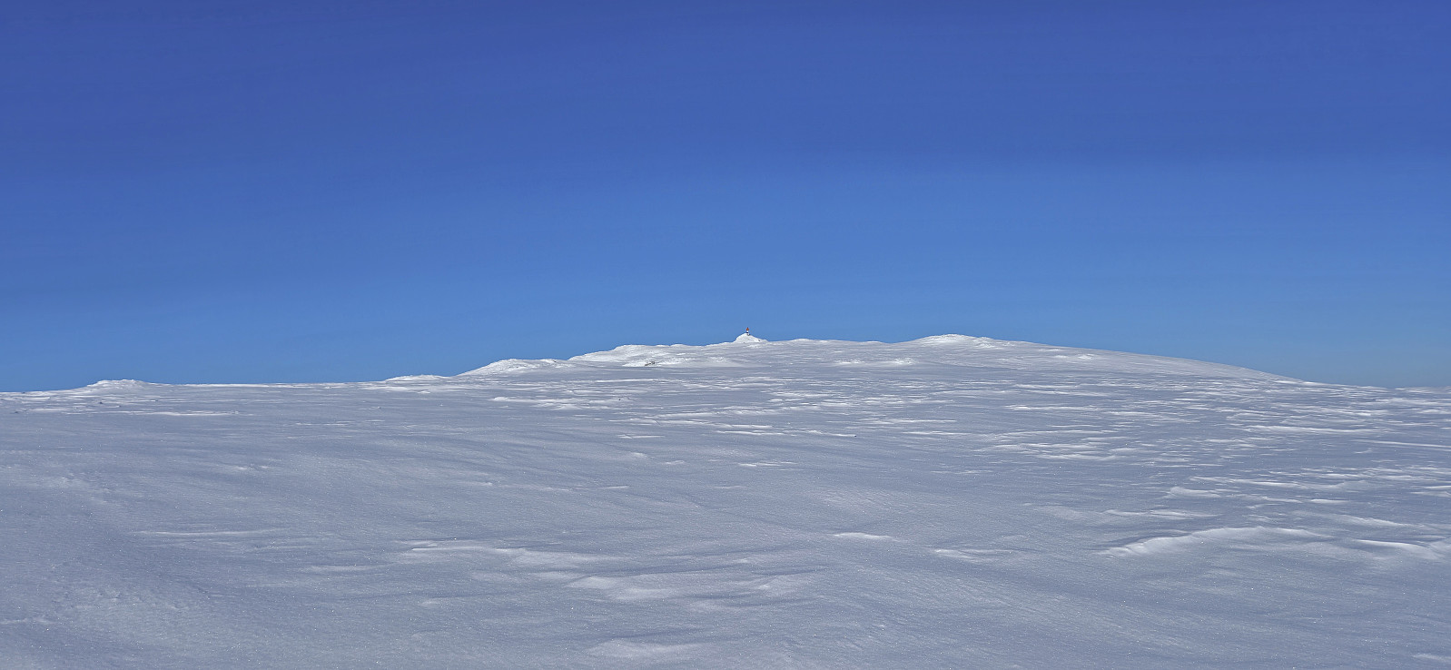
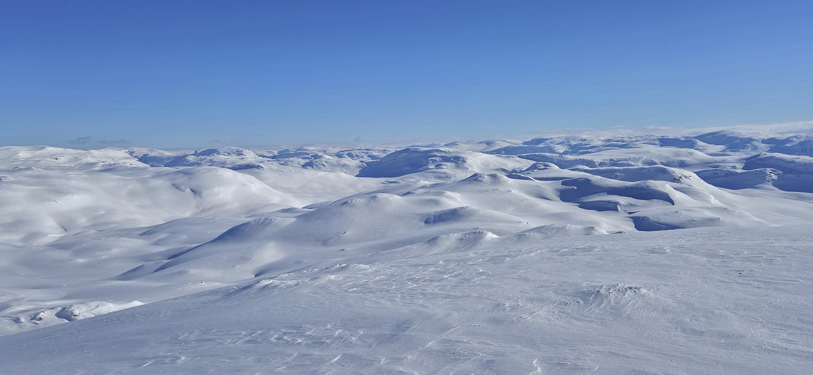
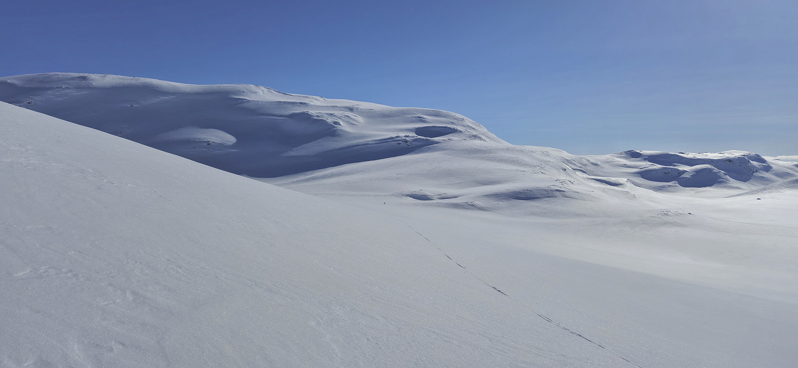
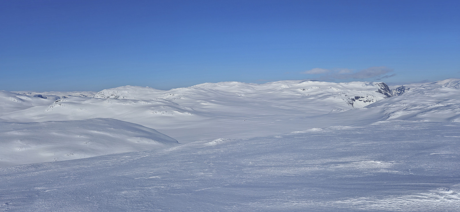
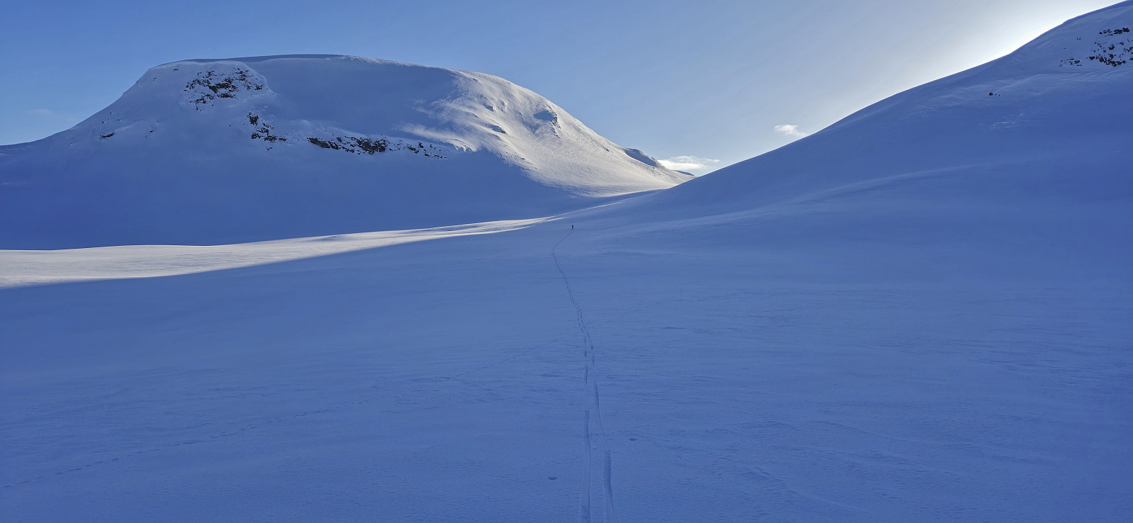
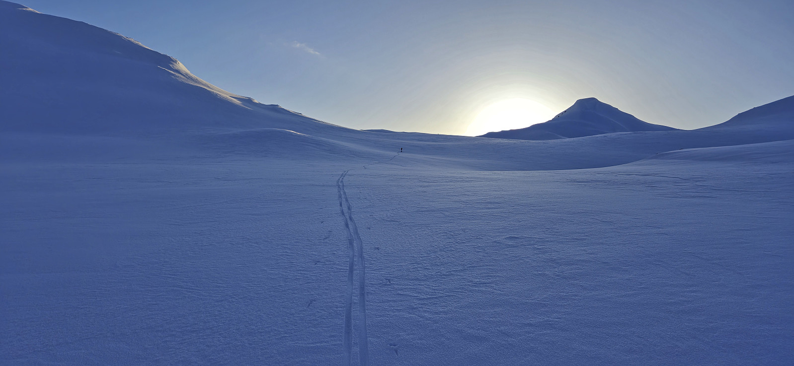
Getting from Kaldanuten to the summit of Såteggi was straightforward and did not present any challenges. From Såteggi we continued east to Gindafletskaret before turning south to Såteggi Nord. Besides a very short ascent between the 1379 and 1377 hills southeast of Såteggi, this stretch was only downhill and we shortly arrived at the start of the ascent to Såteggi Nord. Here we had another short break before heading for the summit. By ascending from the northwest and then turning northeast towards the highest point, this ascent was again straightforward.
At Såteggi Nord I briefly considered turning back and starting the return trip to Brandset and let Endre complete the planned roundtrip on his own, but thankfully he managed to convince me to continue, partly by suggesting a potential shortcut down to the marked ski trail to the east. His shortcut was a success and saved us a lot of time, although our exact route may not be the best option under more challenging snow conditions where other routes probably should be explored instead.
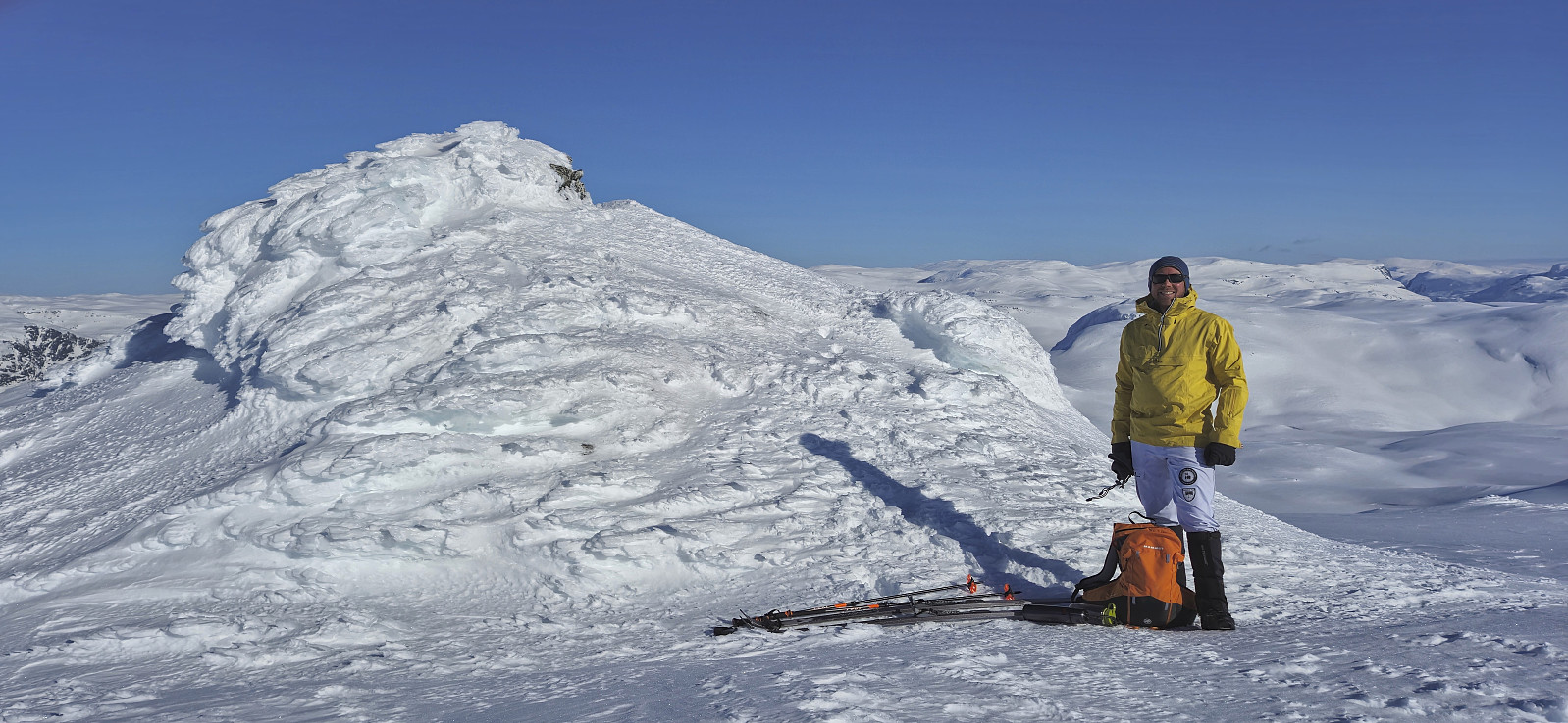
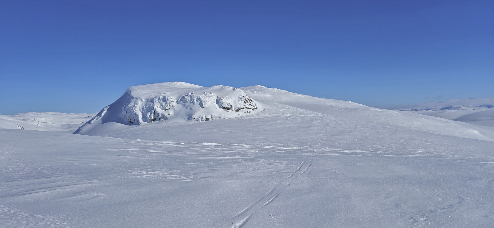
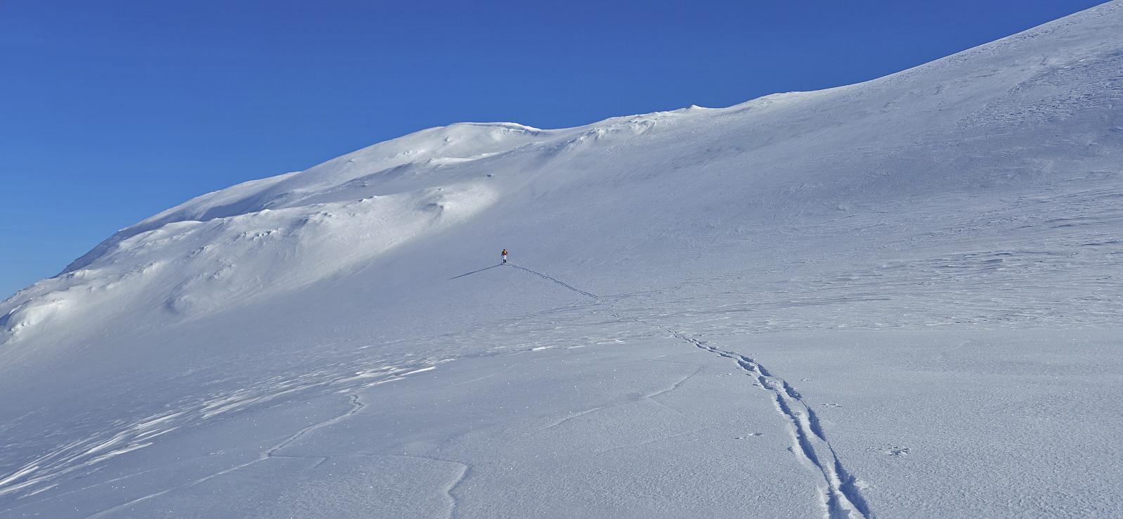
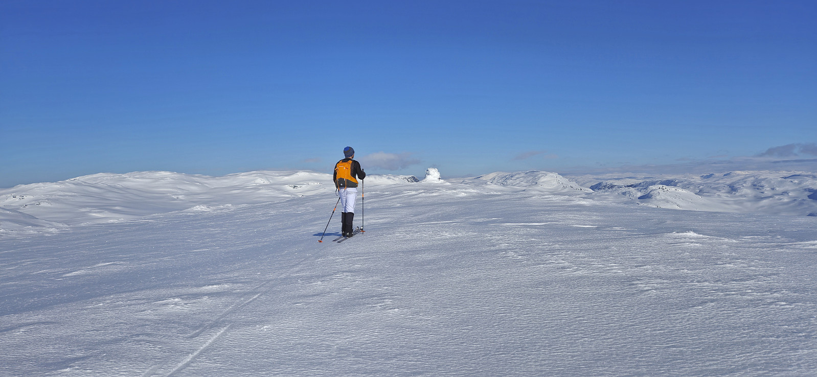
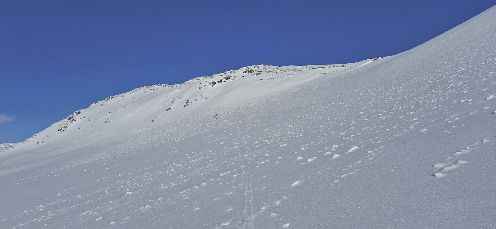
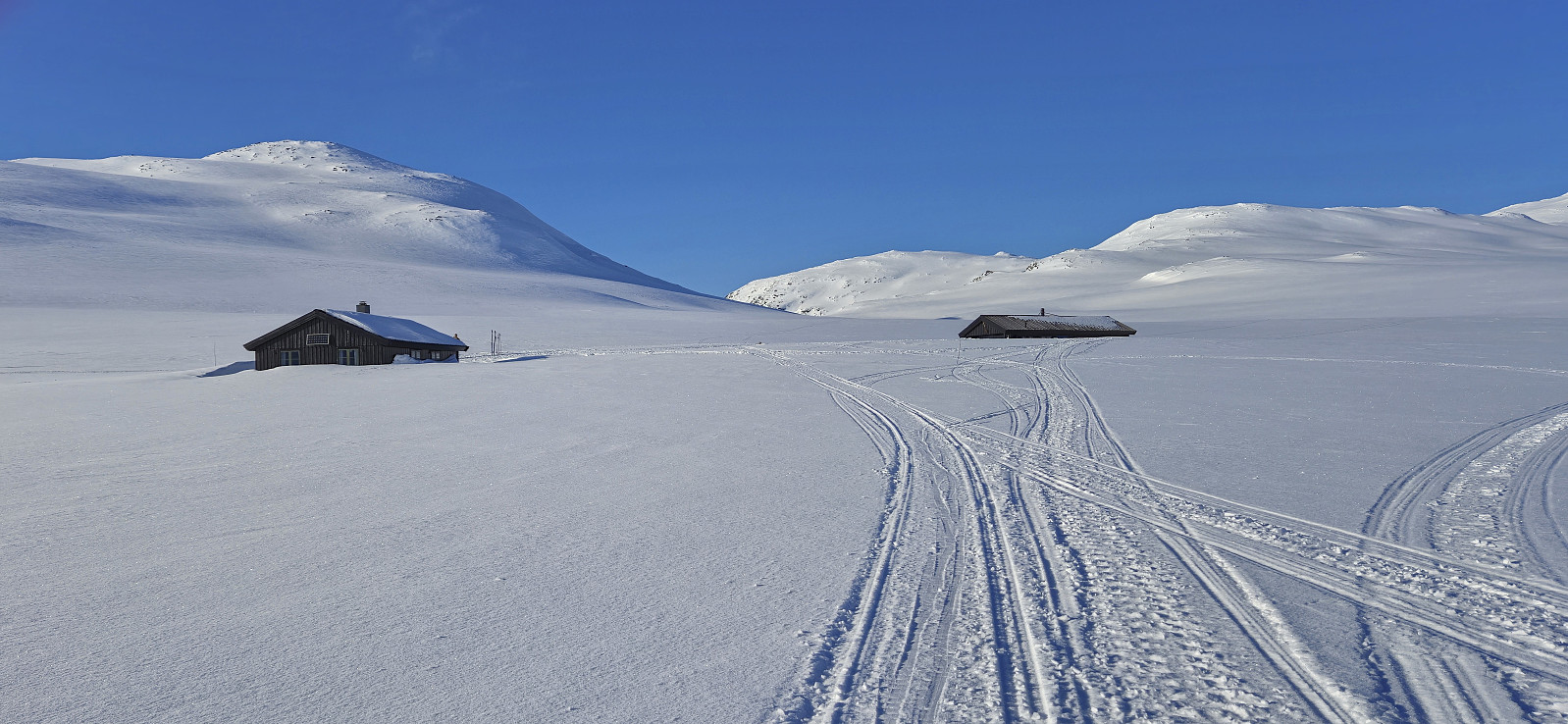
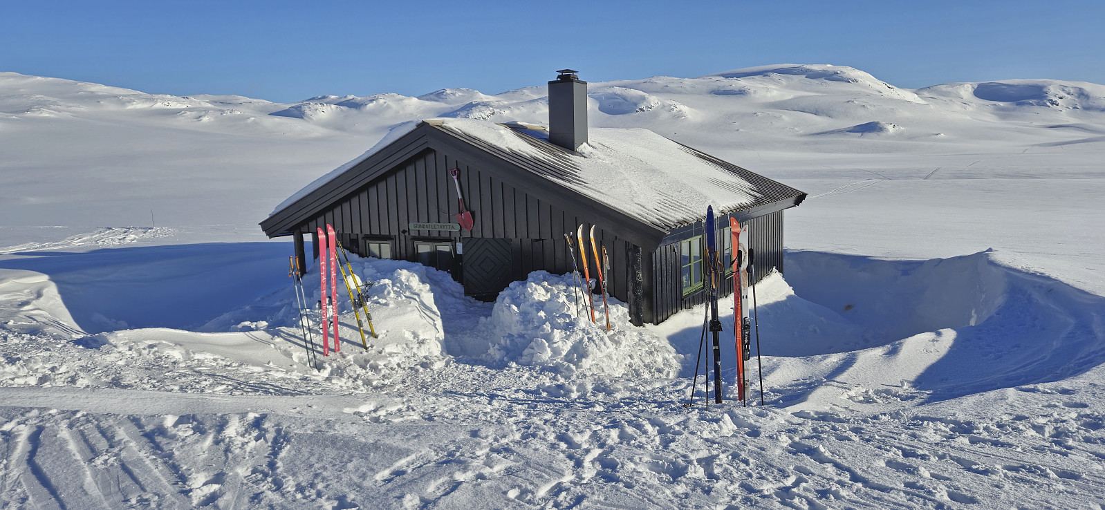
We crossed the ski trail marked with wooden sticks and headed directly for Raudeggi, saving time by ascending via Raudeggskaret. This route should be ok under most conditions but if in doubt it is also possible to ascend via the ridge from the south. After a quick visit of the highest point we once again took of the climbing skins and skied down to Grindaflethytta.
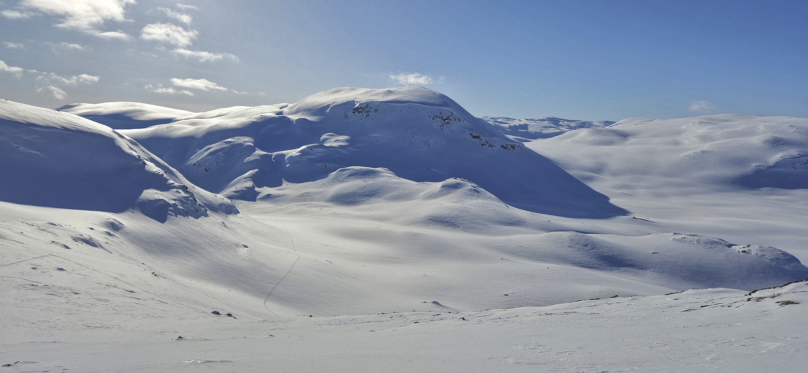
At the cabin we had a short break talking to the only other people we saw for the entire day, all part of a trip organized by DNT Fjellsport Bergen. They were going to spend the night at the cabin. We however were returning to Brandset and after whishing them "God tur!" we turned south and headed for Såteskaret and our final goal: Såta.
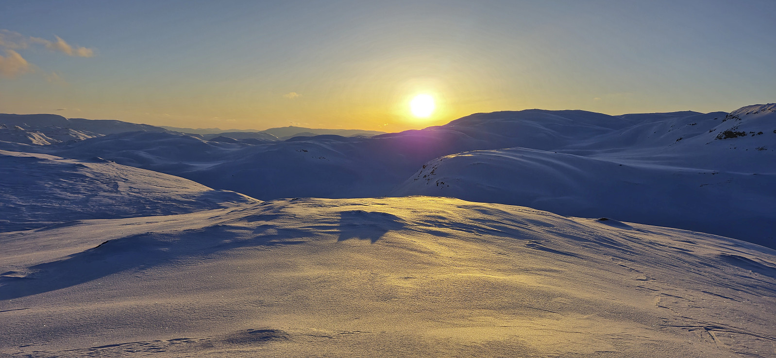
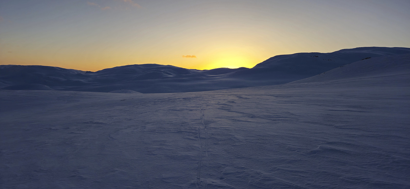
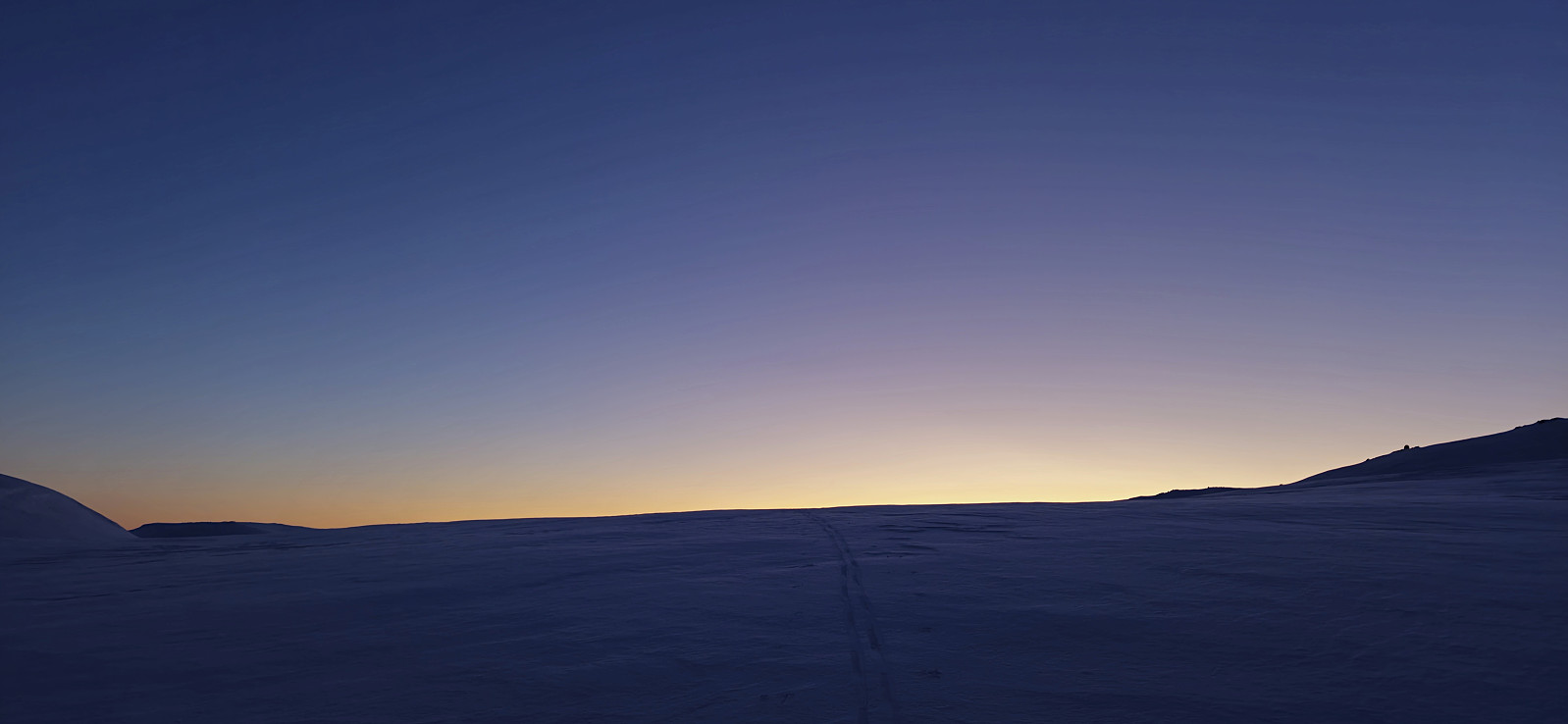
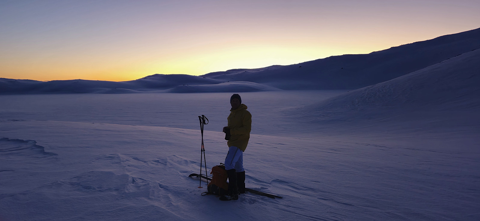
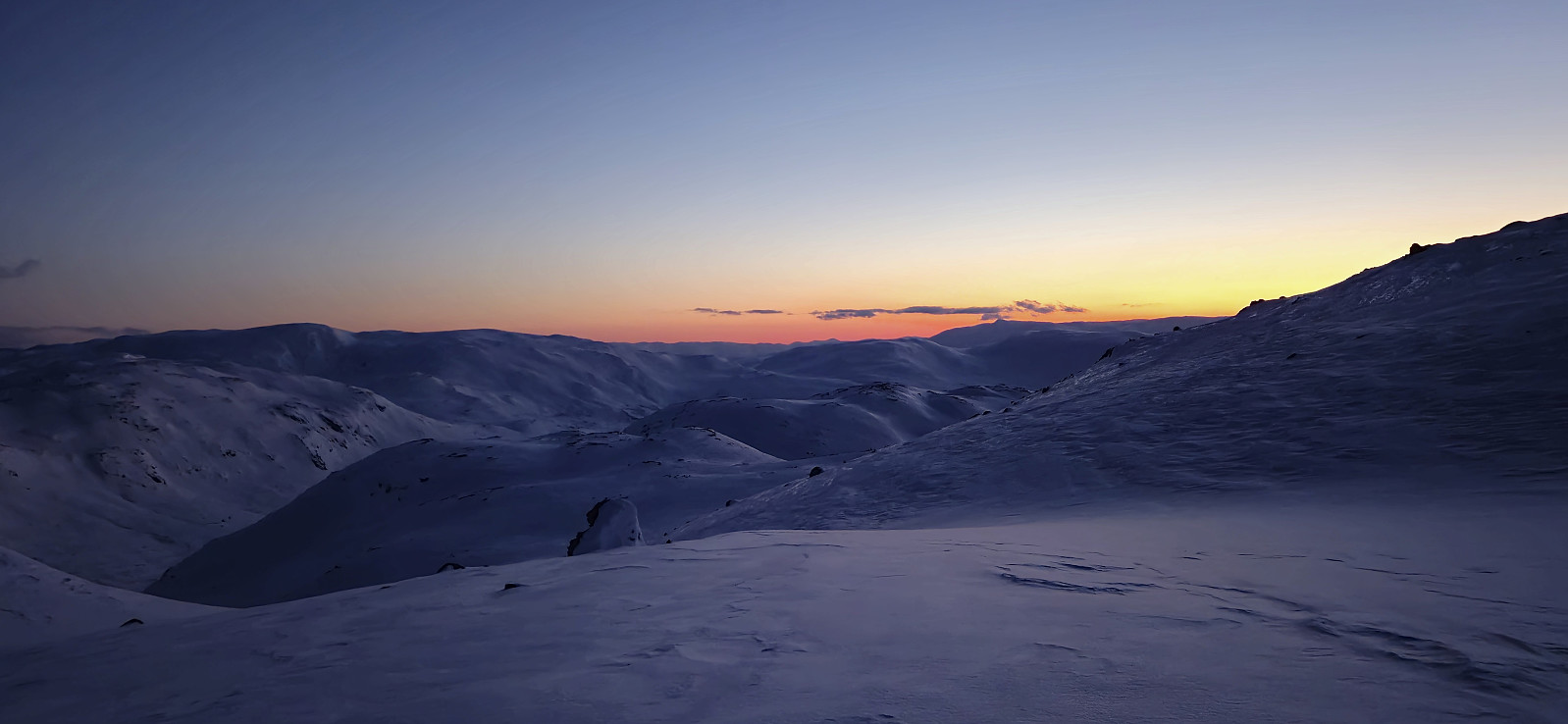
Ascending Såta from the north was relatively steep but did not present any real issues and from the summit we could enjoy the start of the sunset. From the summit we continued south/southeast before starting the final ascent up to Bjørndalsvatnet. Here we put on our headlamps and started the descent back to the parking lot. The conditions were icy but overall the surfaces were relatively flat and thus we did not have any problems. However, both of us almost fell towards the very end when we reached the ice-covered road spiked with gravel.
In summary, an excellent long skiing trip that can be recommended. Takk for turen, Endre!
| Startzeitpunkt | 09.03.2024 08:35 (UTC+01:00) |
| Endzeitpunkt | 09.03.2024 20:05 (UTC+01:00) |
| Gesamtzeit | 11h 29min |
| Zeit in Bewegung | 8h 47min |
| Pausenzeit | 2h 42min |
| Gesamtschnitt | 3,6km/h |
| Bewegungsschnitt | 4,7km/h |
| Entfernung | 41,4km |
| Höhenmeter | 2.033m |


Benutzerkommentare