
Birkelandsfjellet (16.12.2023)

Geschrieben von hbar (Harald Barsnes)

| Startpunkt | Valle (149m) |
|---|---|
| Endpunkt | Lilletvedt/Litleveiten (85m) |
| Tourcharakter | Bergtour |
| Tourlänge | 1h 03min |
| Entfernung | 3,4km |
| Höhenmeter | 150m |
| GPS |
|
| Besteigungen | Birkelandsfjellet (280m) | 16.12.2023 |
|---|---|---|
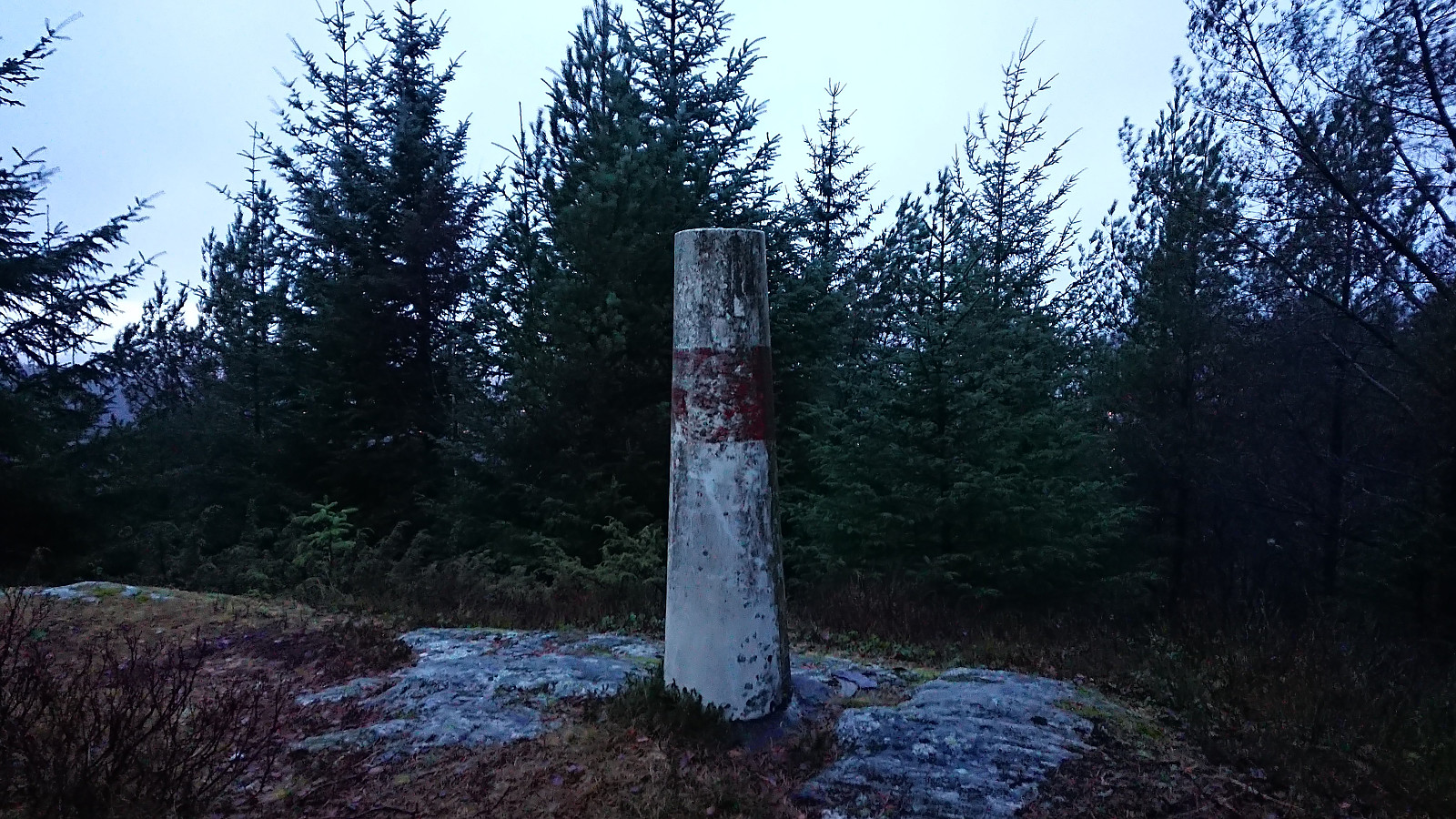
| Besuche anderer PBE | Birkelandsfjellet søyle (264m) | 16.12.2023 |
Birkelandsfjellet
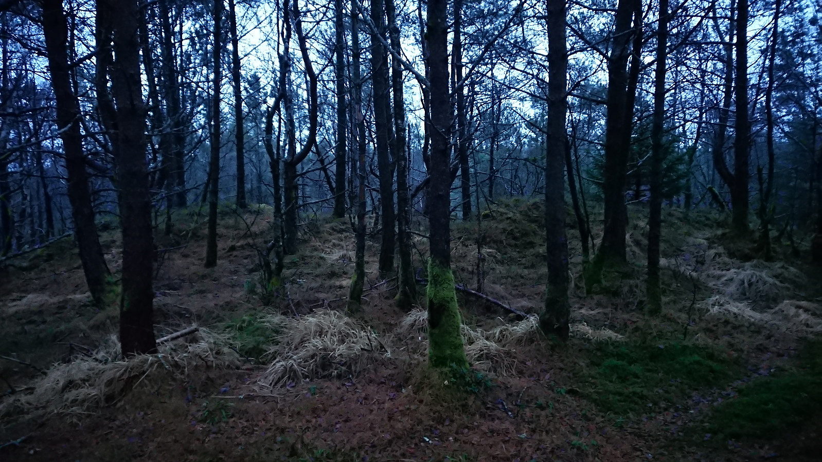
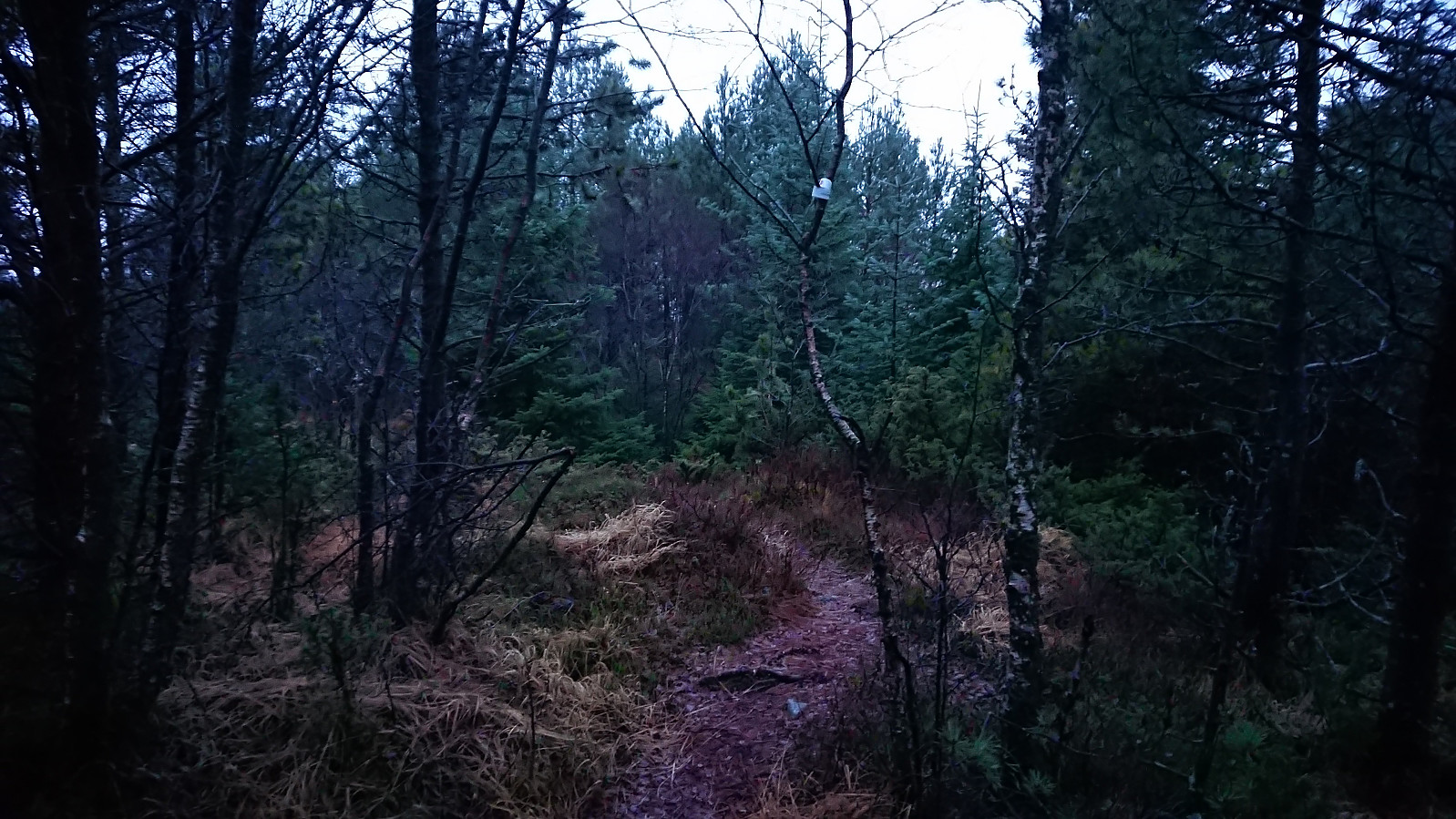
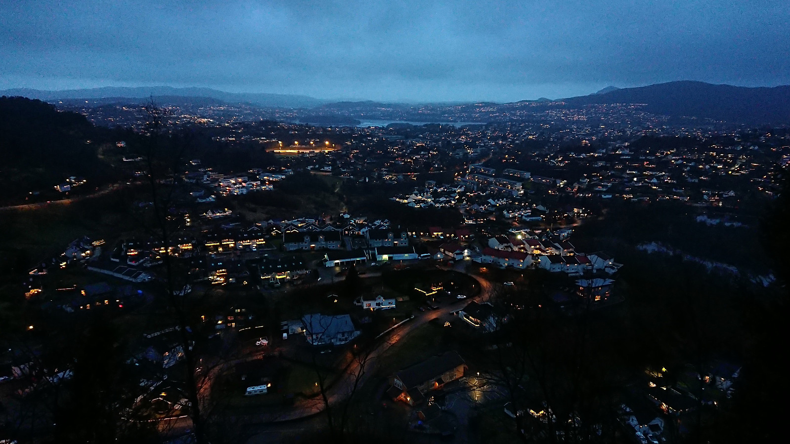
A return to Birkelandsfjellet for a visit of the trig marker west of the summit. It had been raining all day, but I managed to find a short opening just before it got dark. However, I had not fully considered that the limited light would be further reduced by the dense forest, and therefore did not bring my headlamp. As a result, the steep descent to Kirkebirkeland ended up being slightly more challenging than expected.
| Startzeitpunkt | 16.12.2023 14:58 (UTC+01:00) |
| Endzeitpunkt | 16.12.2023 16:01 (UTC+01:00) |
| Gesamtzeit | 1h 03min |
| Zeit in Bewegung | 1h 01min |
| Pausenzeit | 0h 2min |
| Gesamtschnitt | 3,3km/h |
| Bewegungsschnitt | 3,4km/h |
| Entfernung | 3,4km |
| Höhenmeter | 149m |


Benutzerkommentare