
Taket, Vardadalsbu and Eldhusfjellet (20.08.2023)

Geschrieben von hbar (Harald Barsnes)

| Startpunkt | Steinsland (133m) |
|---|---|
| Endpunkt | Steinsland (133m) |
| Tourcharakter | Bergtour |
| Tourlänge | 7h 50min |
| Entfernung | 18,2km |
| Höhenmeter | 1.577m |
| GPS |
|
| Besteigungen | Eldhusfjellet (1.206m) | 20.08.2023 |
|---|---|---|
| Taket (1.211m) | 20.08.2023 | |
| Besuche anderer PBE | Vardadalsbu (888m) | 20.08.2023 |
Taket, Vardadalsbu and Eldhusfjellet

After Friday's long hike from Hamlagrøvatnet to Norheimsund I was not really planning on more long hikes this weekend. However, when petter (Petter Bjørstad) contacted me and asked if I wanted to go hiking on Sunday I of course could not resist and quickly said yes. We decided on Modalen and an attempt at visiting three of the four peaks that Petter had not yet visited in this area.
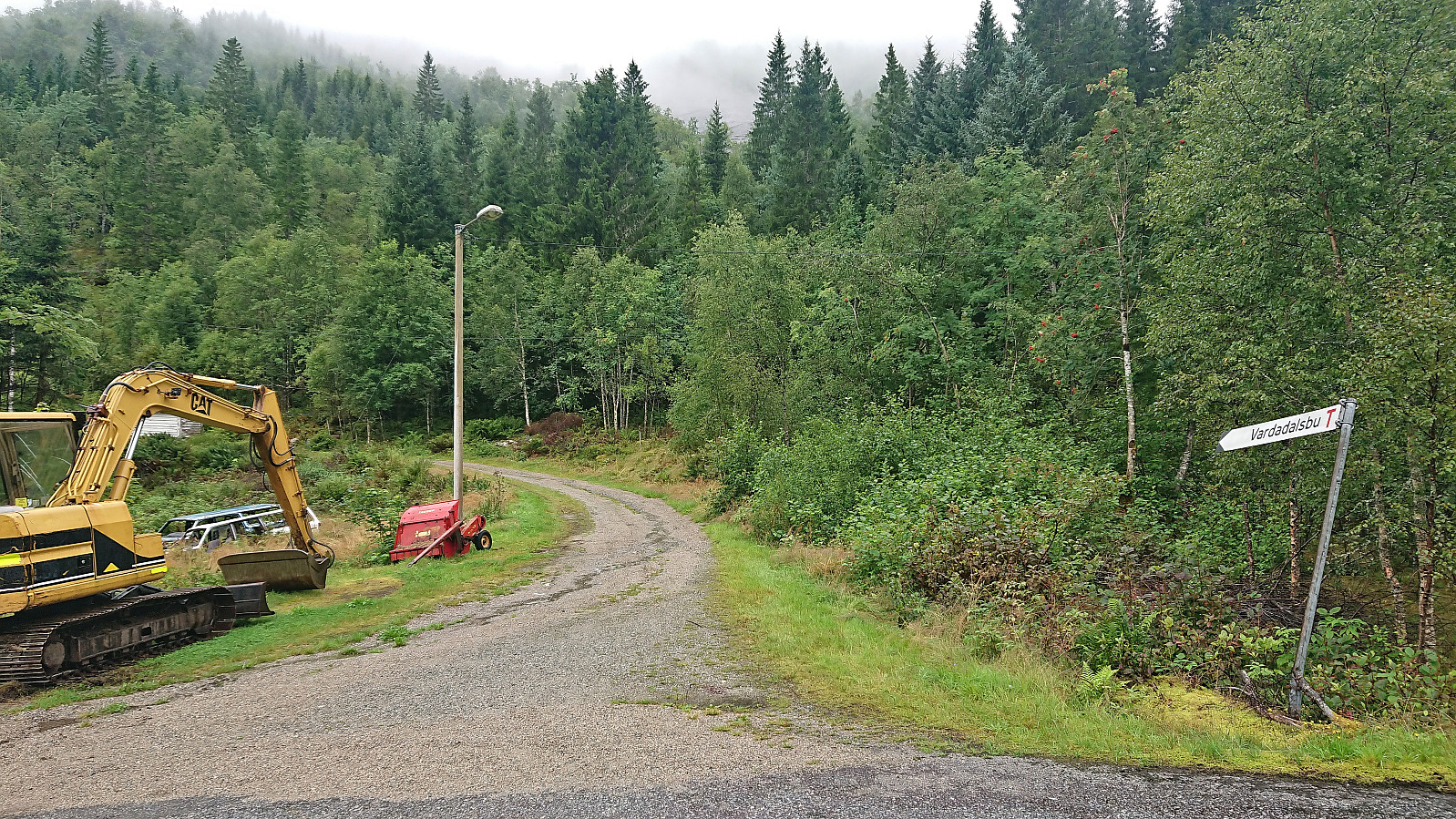
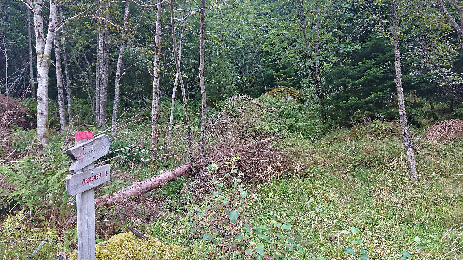
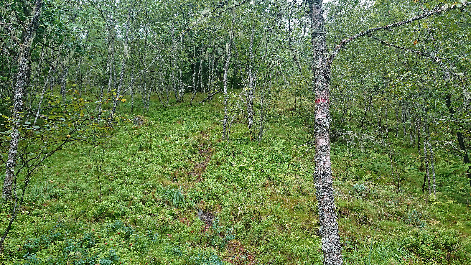
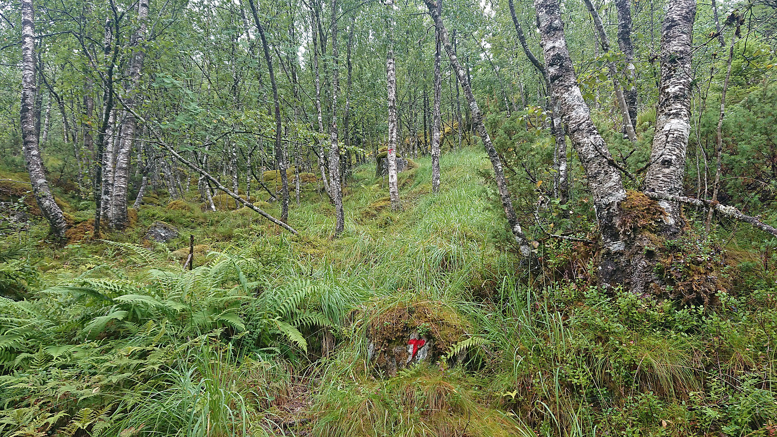
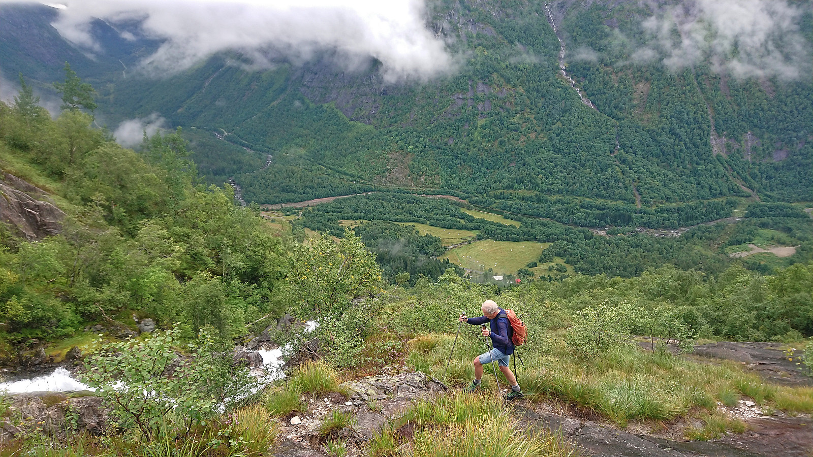
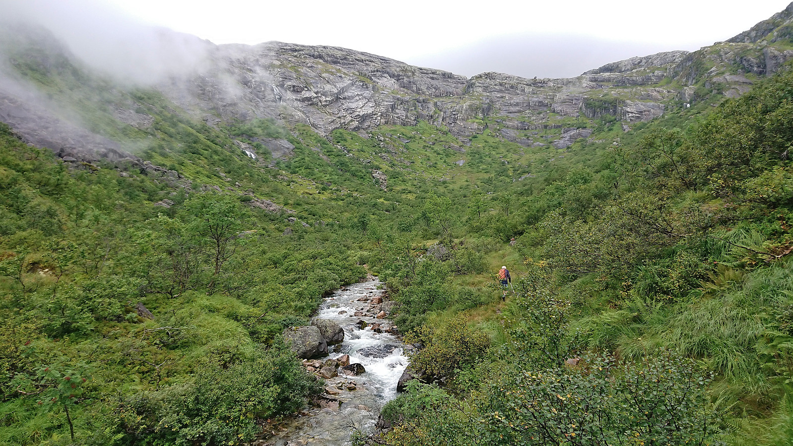
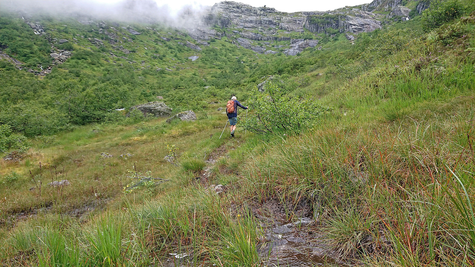
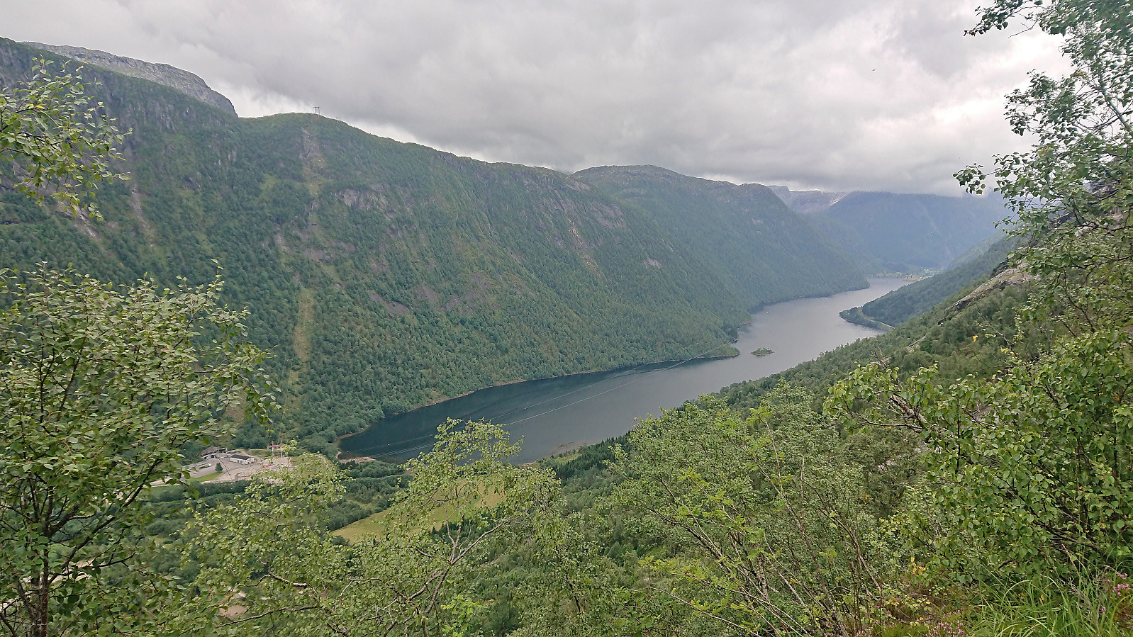
Petter picked me up at 07:30 and after a 1.5 hours drive we arrived at Steinsland where we found parking right next to the marked trailhead for Vardadalsbu. While the trailhead was marked, the trail quality was low. In fact, early on we were wondering if we were on a trail at all. Soon the familiar red trail markers however started appearing, and while the trail was still weak, it could now be followed without too much difficulty.
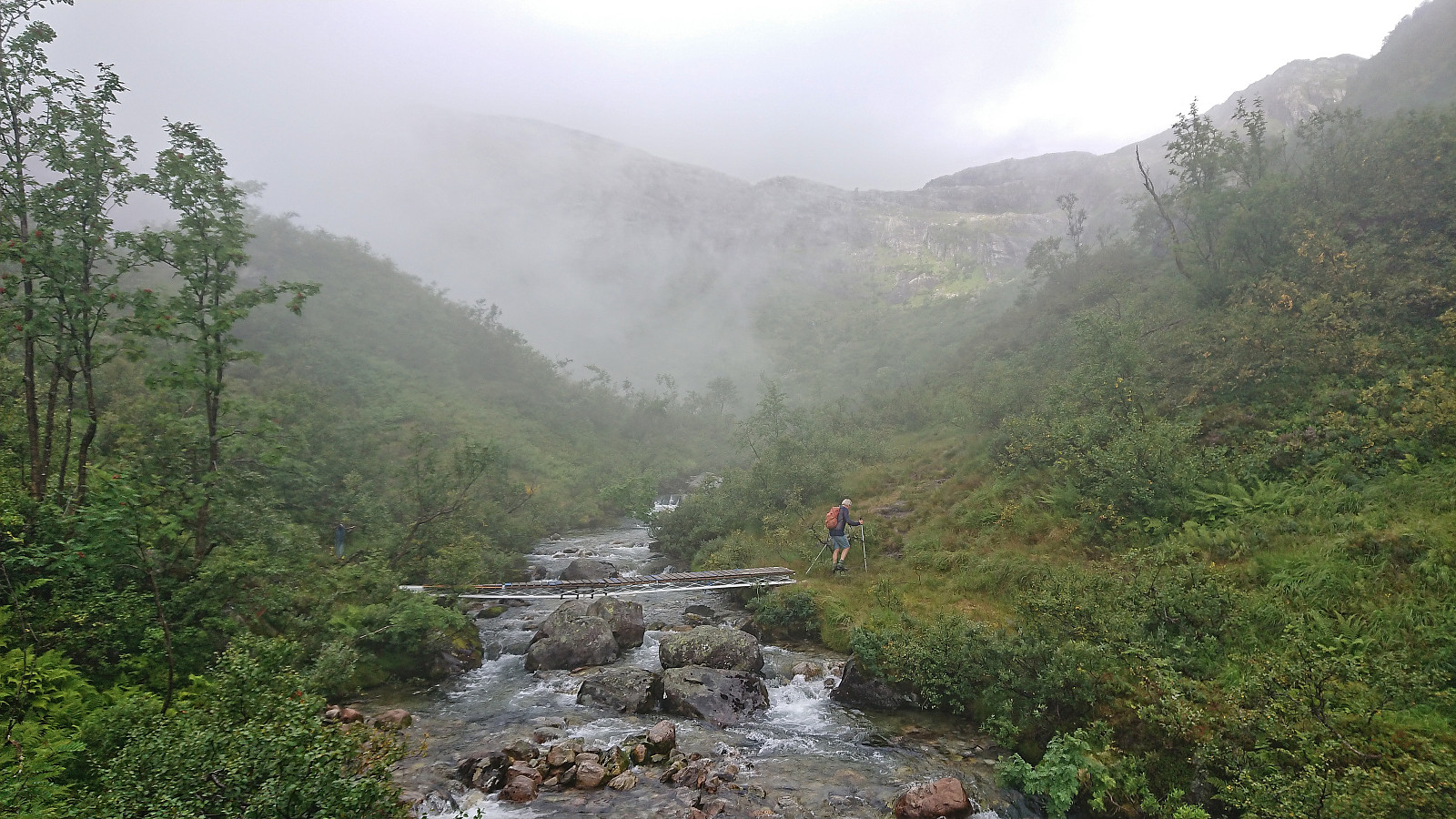
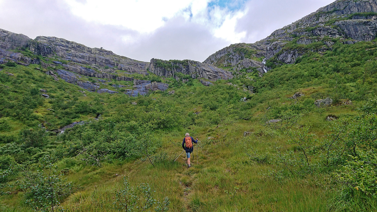
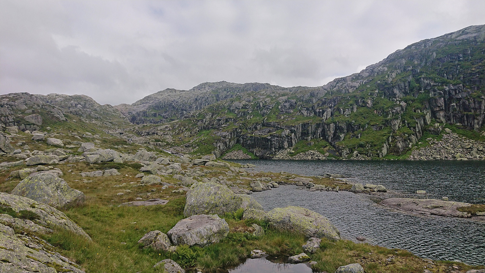
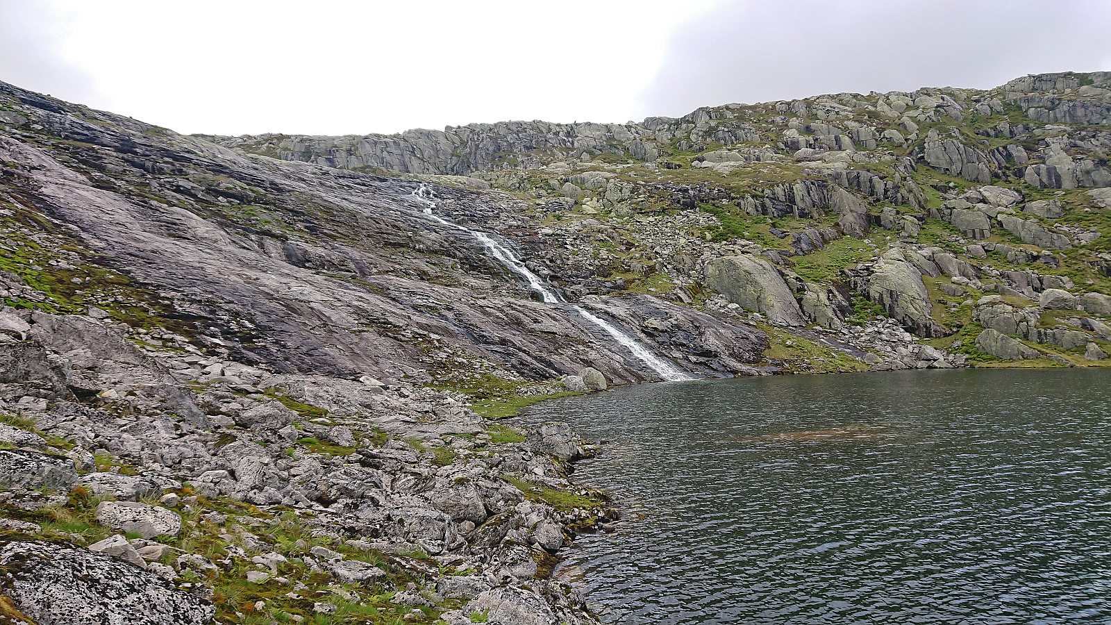
The trail was quite steep though. From the trailhead the trail climbed around 450 meters for the first kilometer up to Kvernhusbotnen. After crossing Kvernhuselva via a bridge, the terrain shortly levelled off before the trail ascended up to around 920 meters next to Kvernhusbotnvatnet.
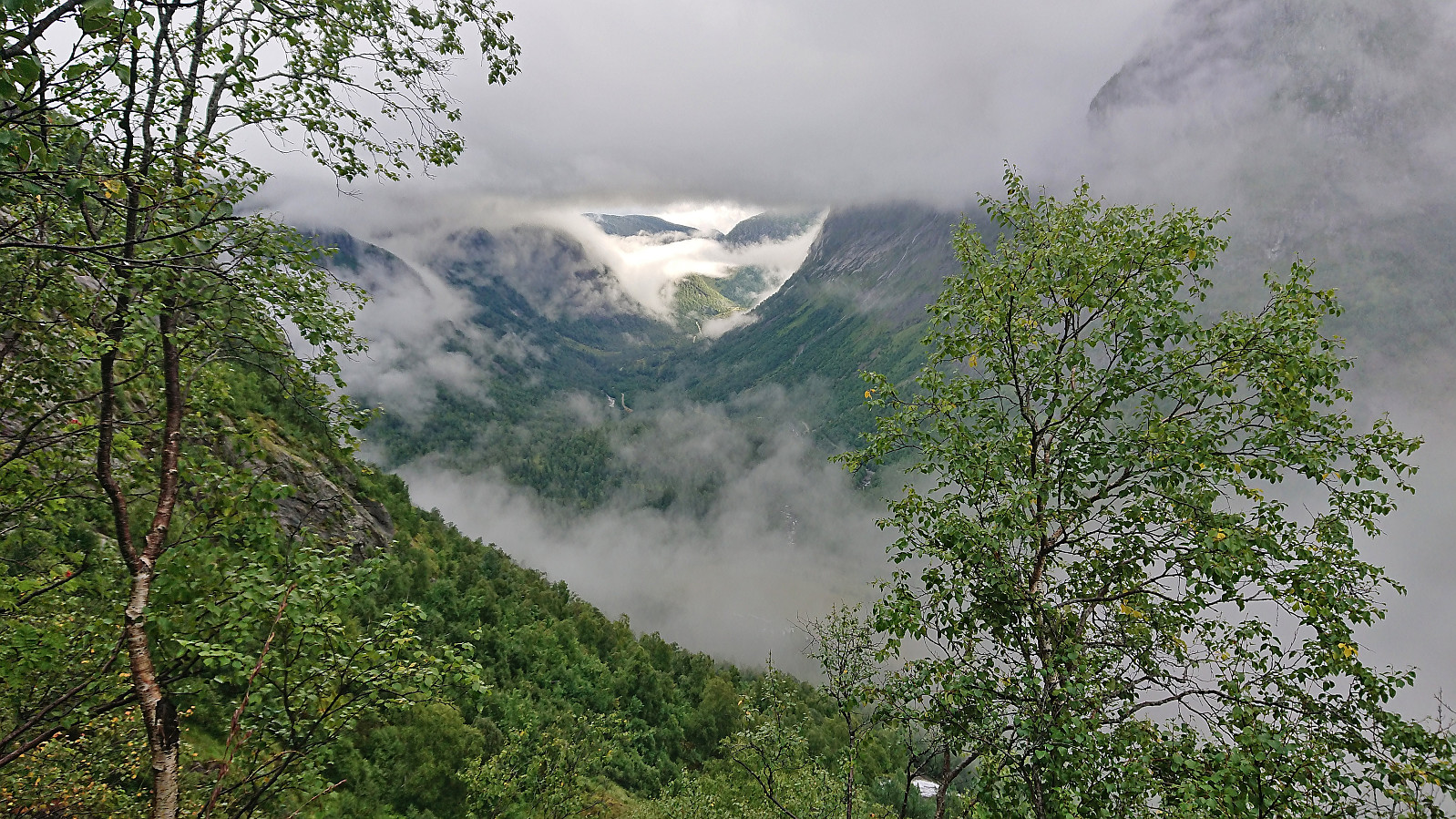
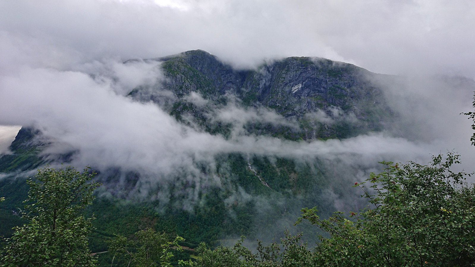
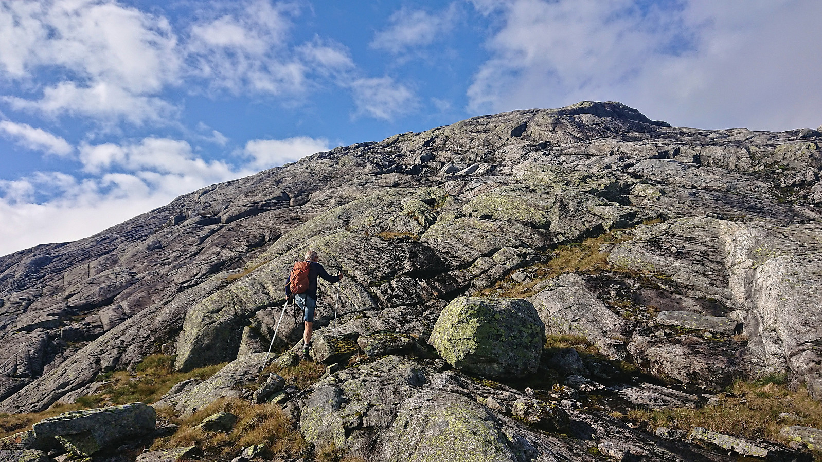
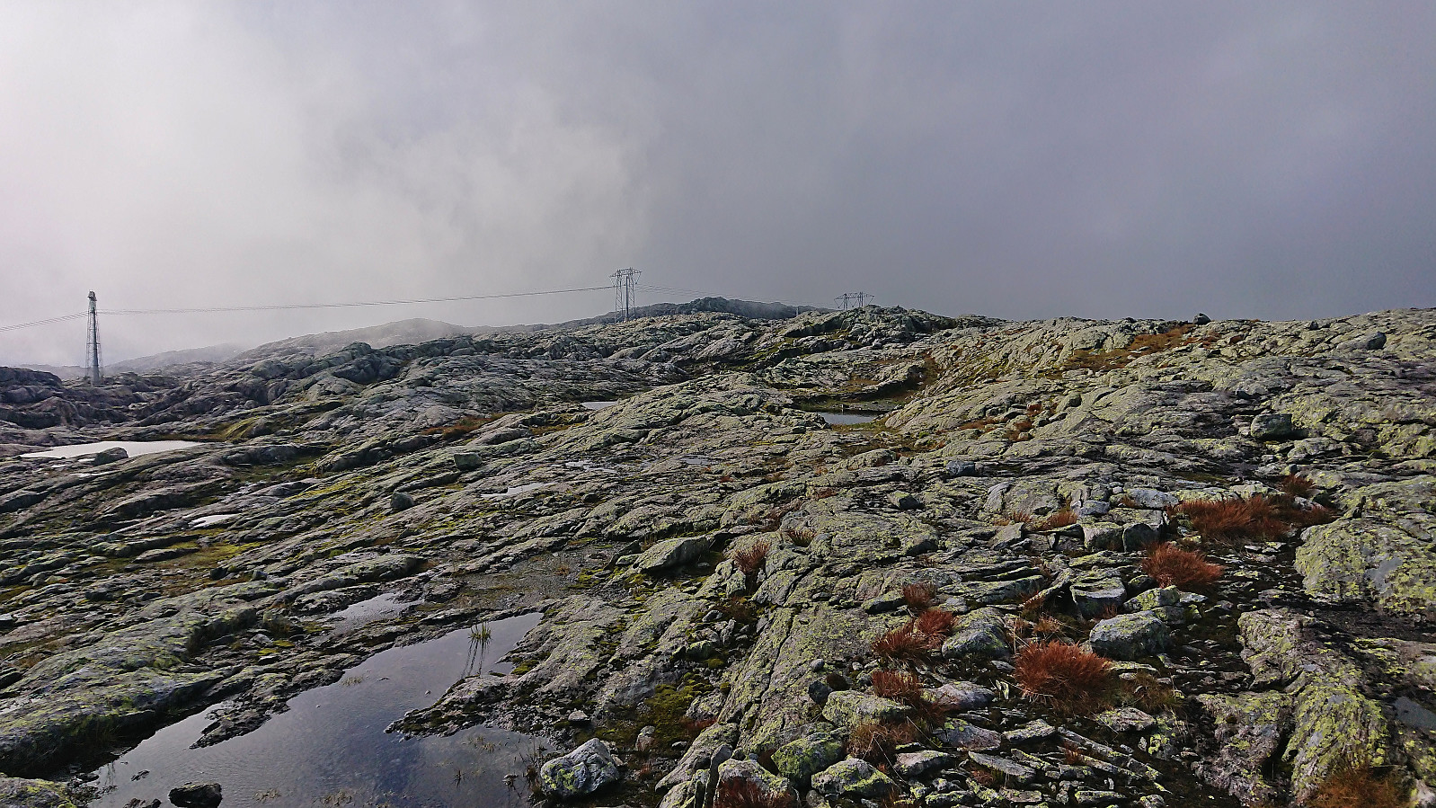
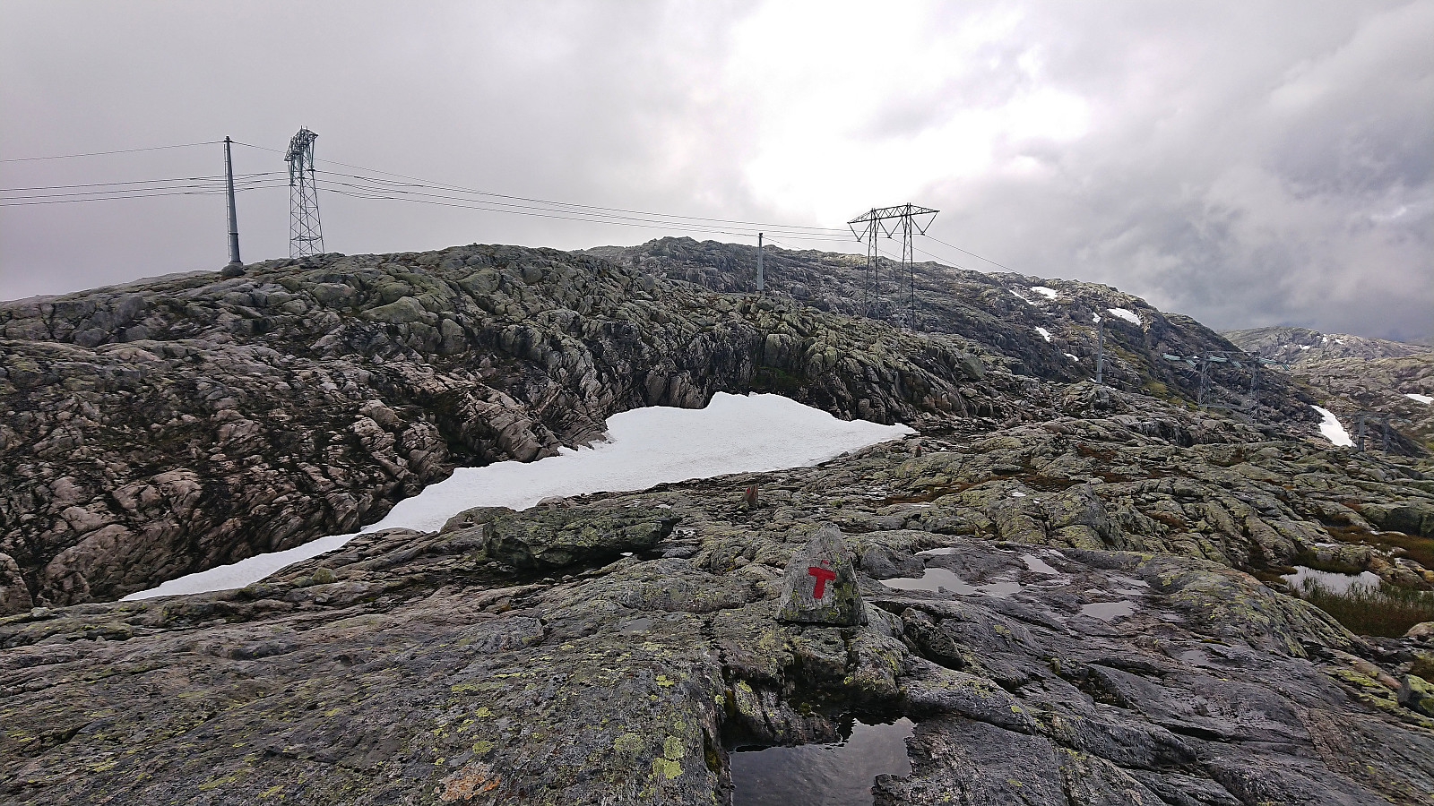
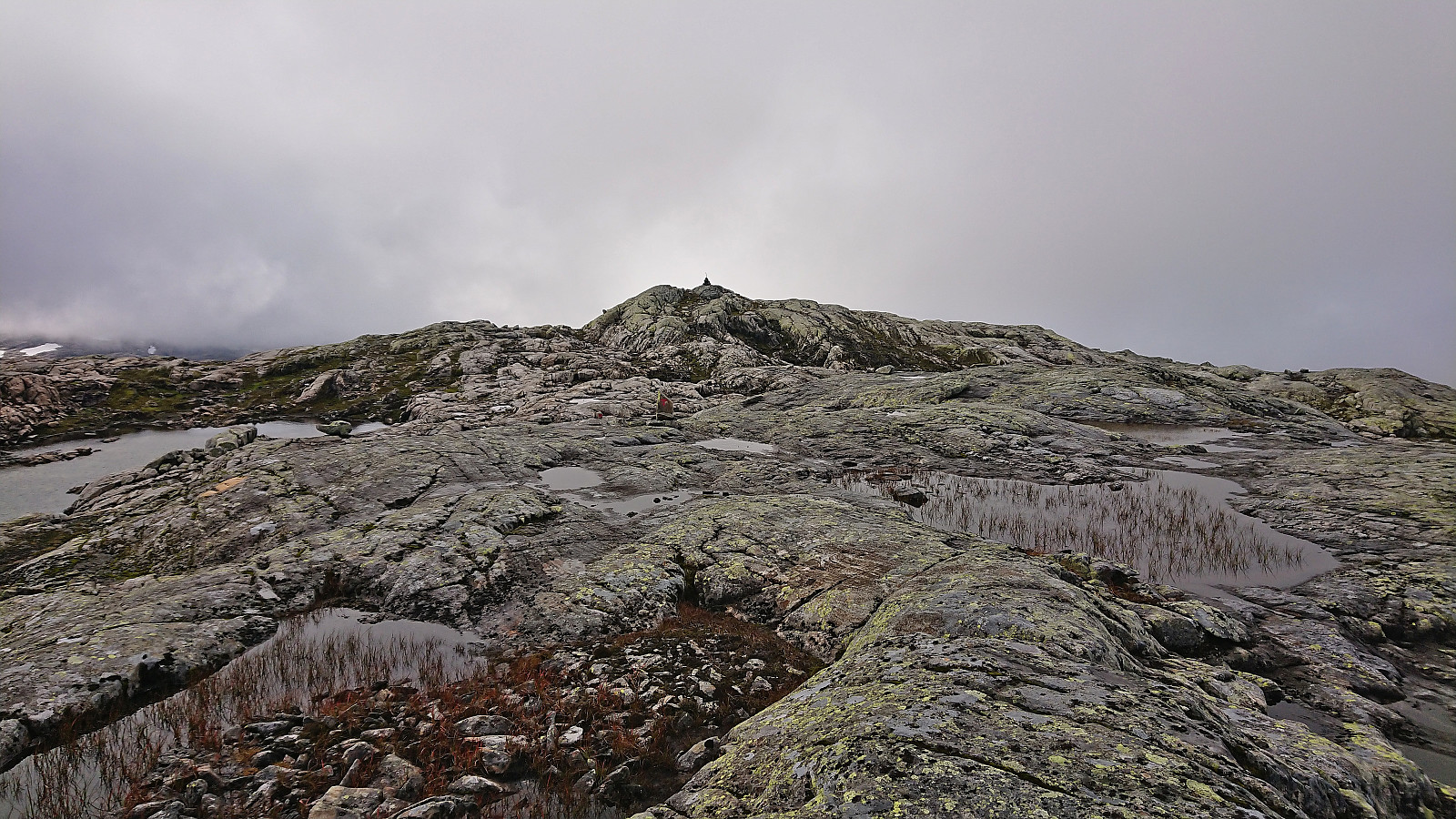
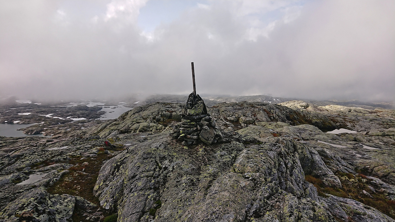
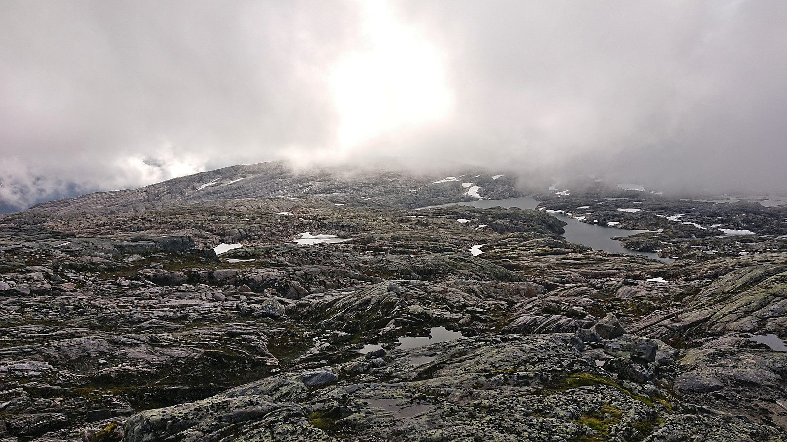
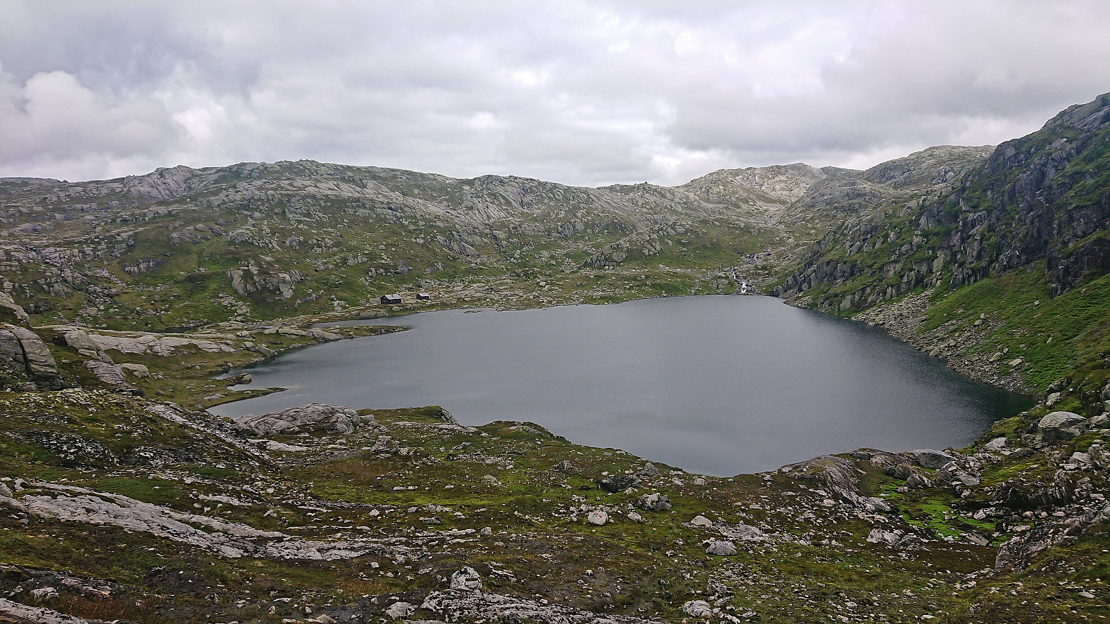
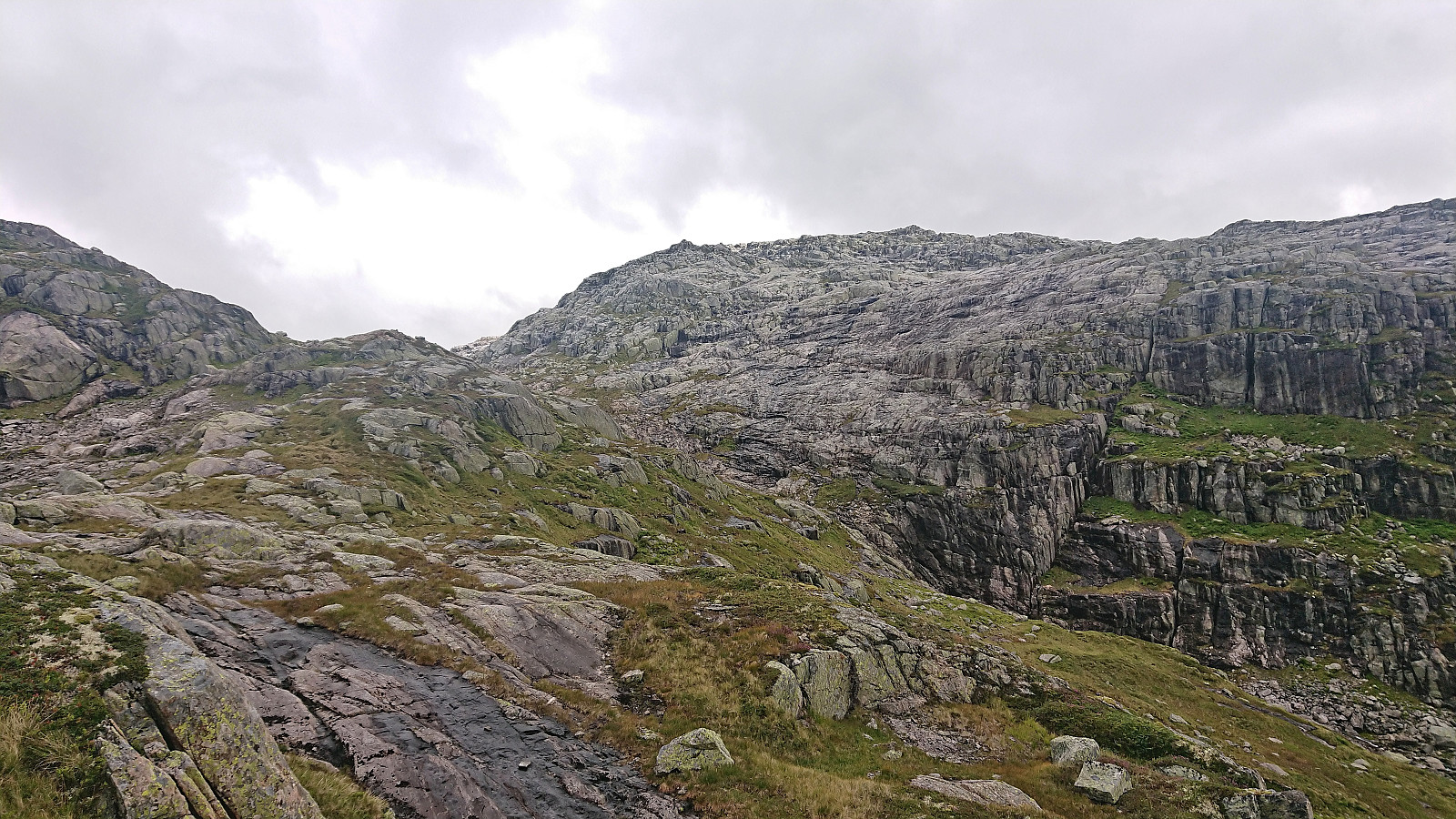
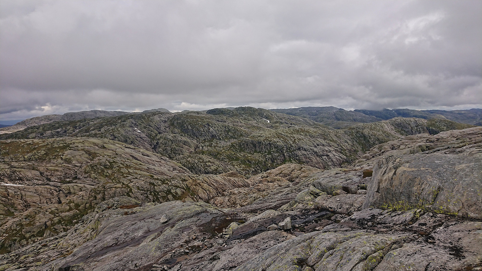
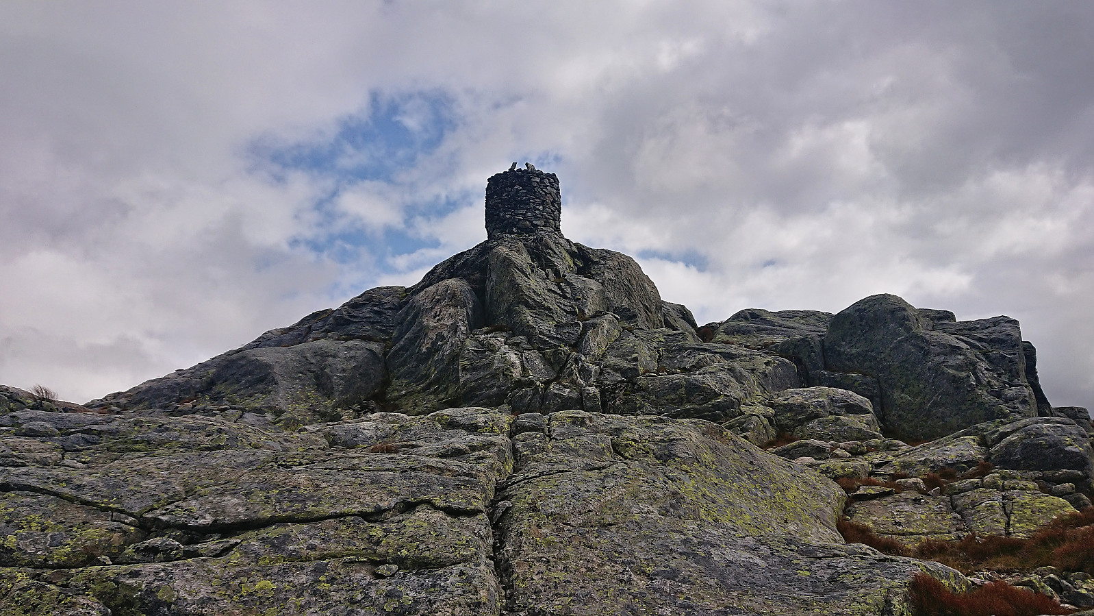
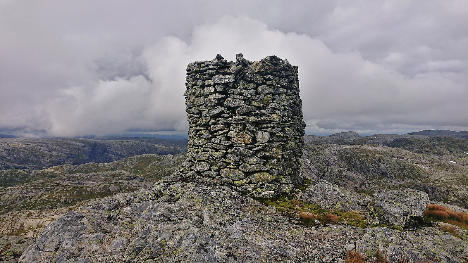
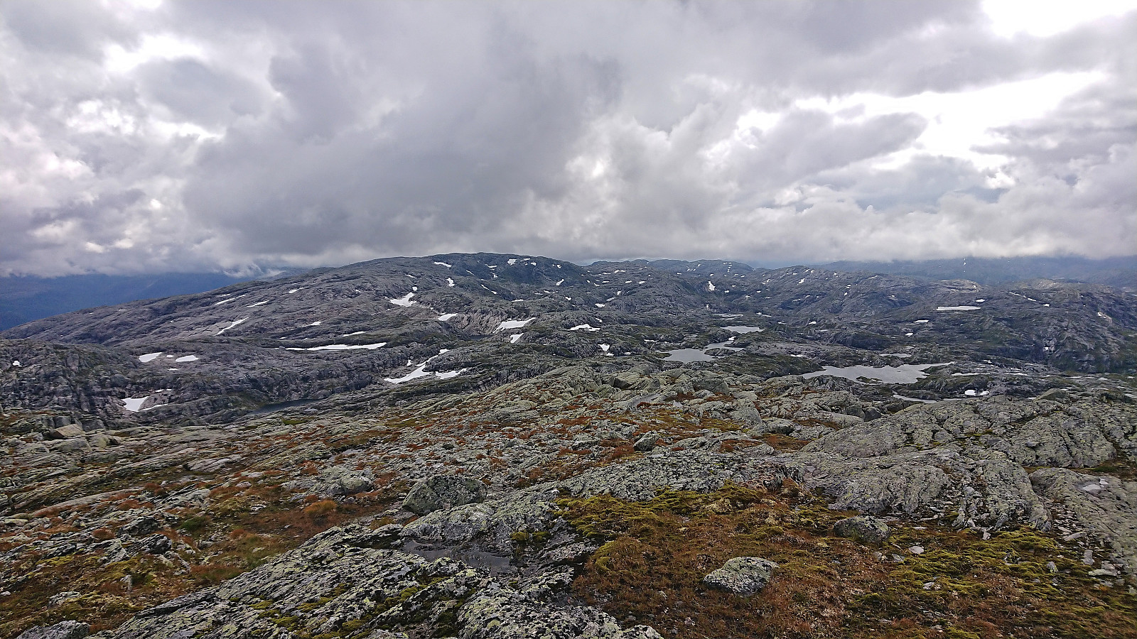
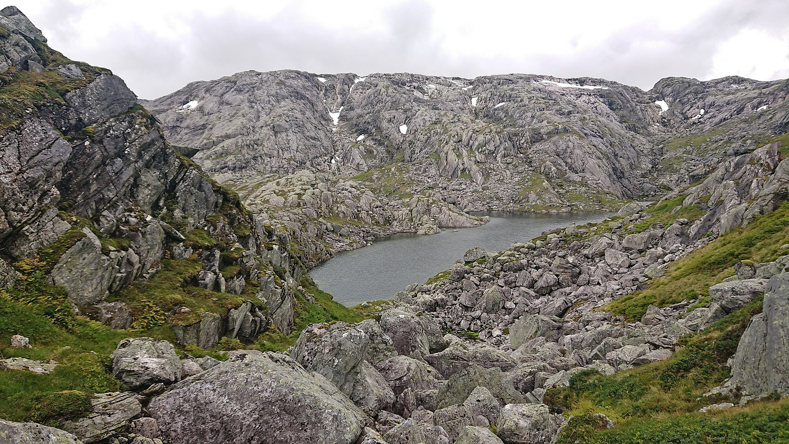
At Kvernhusbotnvatnet we left the marked trail and ascended off-trail towards the 1167 point north of Taket. This required some route finding at the start but was otherwise straightforward. Upon reaching the ridge we could finally spot the summit of Taket in the distance. Shortly before passing under the overhanging power lines we connected with a marked trail which we proceeded to followed all the way to the summit. Limited views from the summit today due to the low-hanging clouds. We therefore did not stay long before returning north along the marked trail.
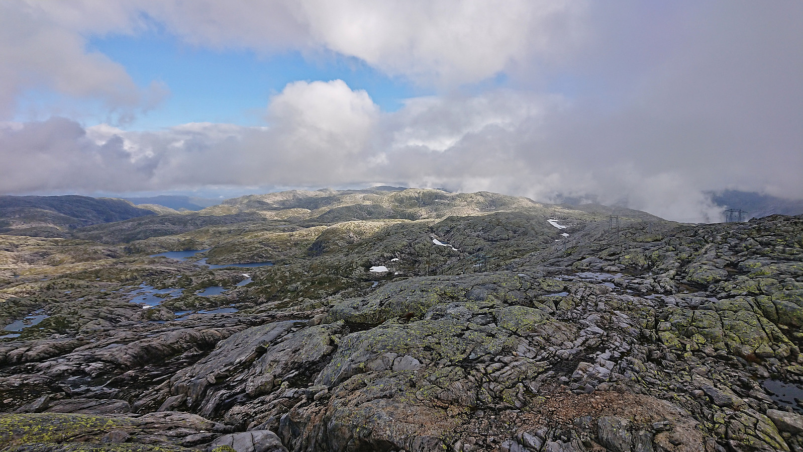
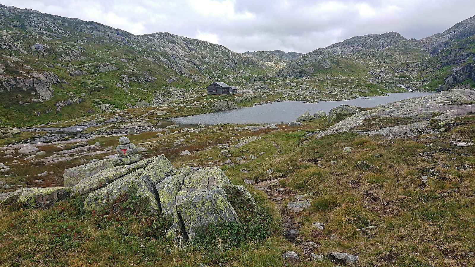
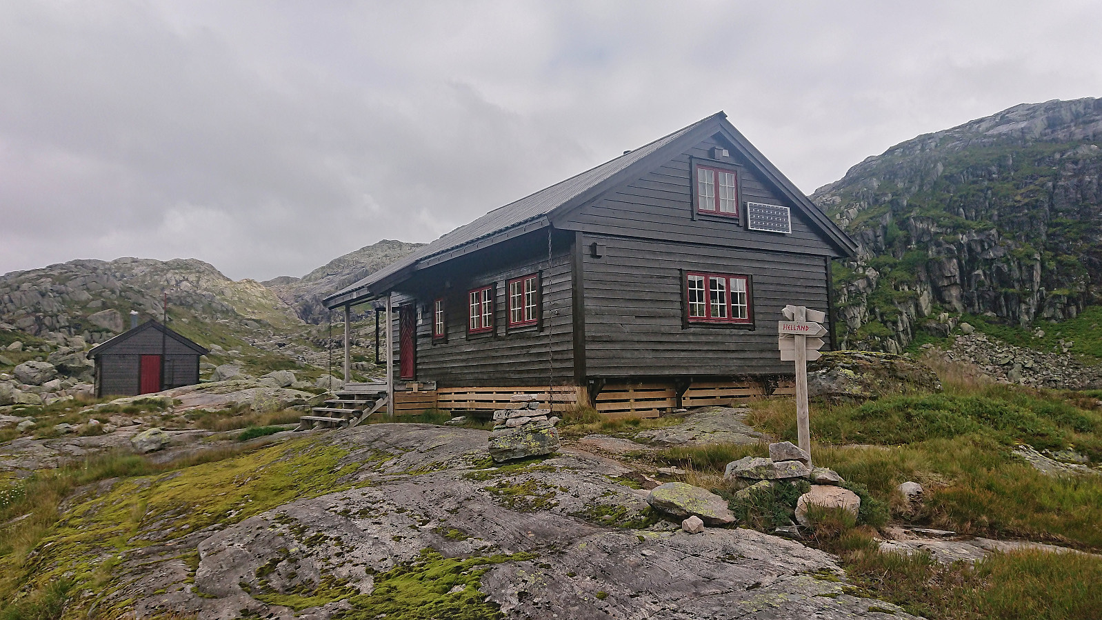
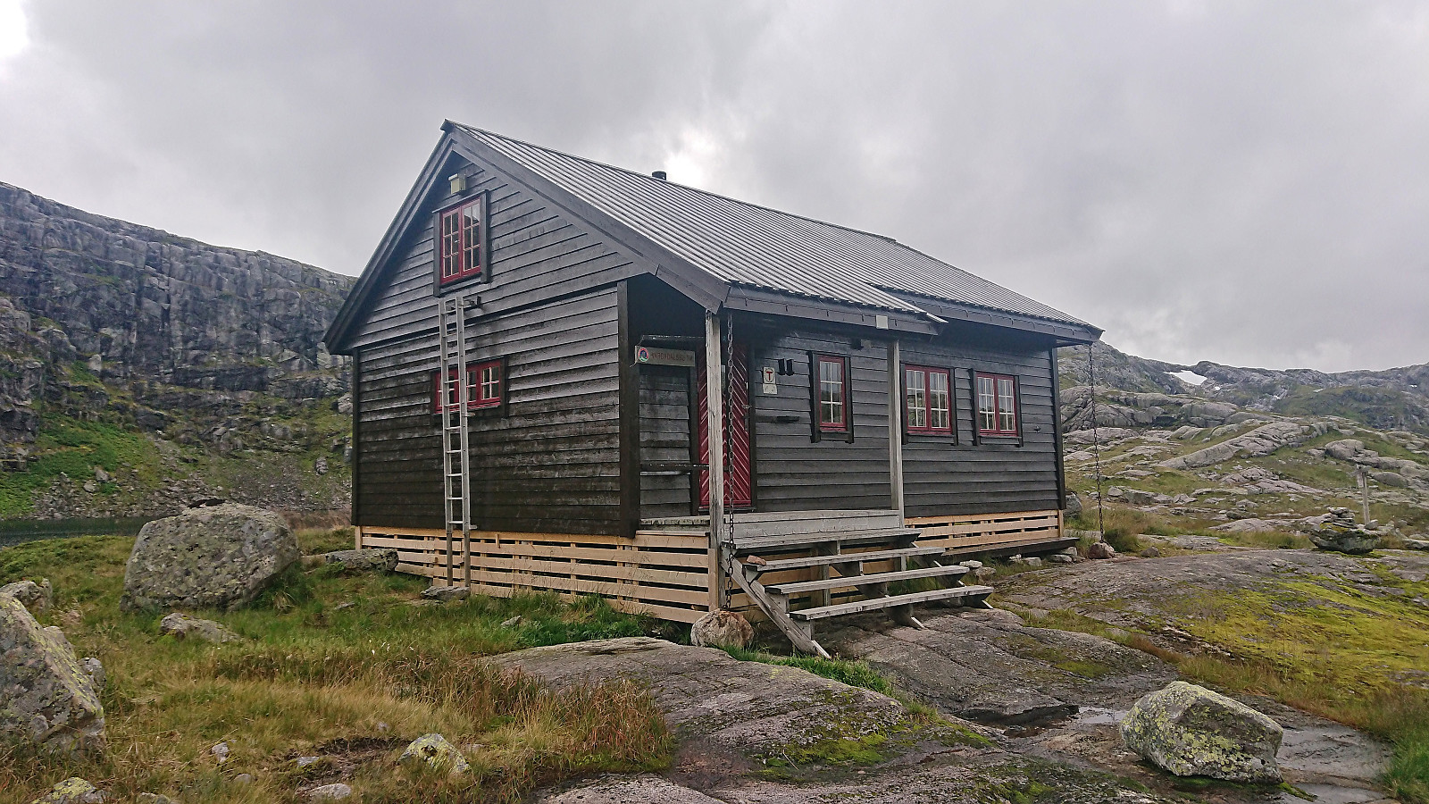
Our initial plan had been to visit three of the four peaks Petter had left in Modalen, but we now realized that this would take us too long (as Petter had other engagements in the evening). Ascending Vest for Vestrebotn therefore had to wait for another day. I however still wanted to include a short visit of Vardadalsbu. We therefore split up, with Petter heading straight for Eldhusfjellet while I continued on the marked trail to Vardadalsbu.
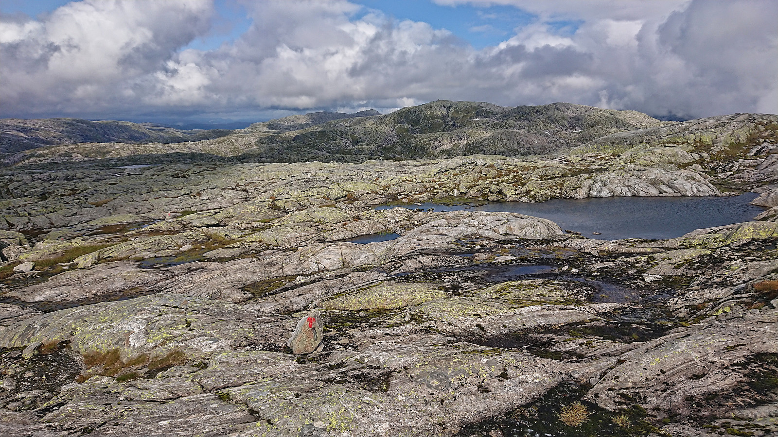
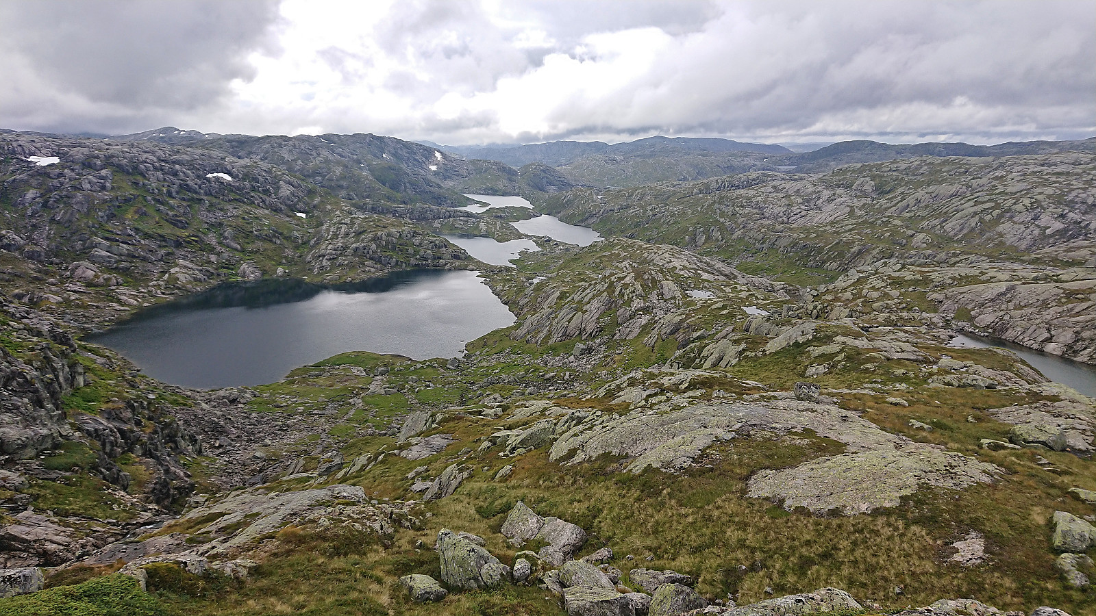
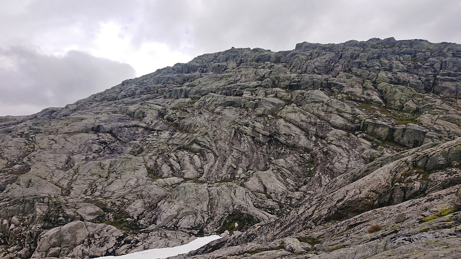
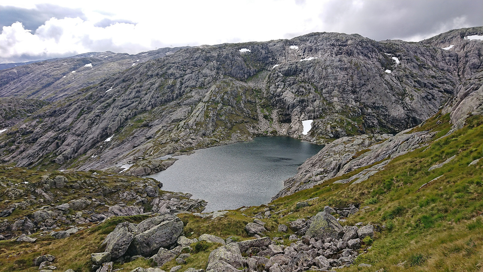
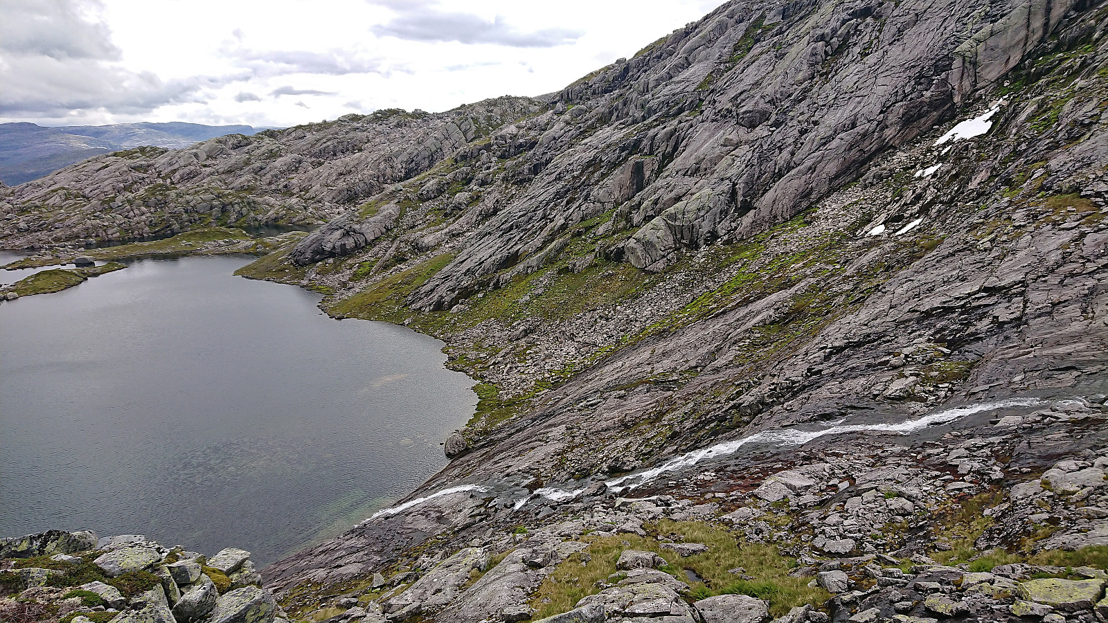
For Petter not to wait too long at the summit, I tried to increase my speed, however the trail to Vardadalsbu included more up and down than I had hoped for. The numerous slippery surfaces did not help either. When getting to Vardadalsbu I therefore immediately continued northeast along Vardadalstjørnene before starting my ascent of Eldhusfjellet. The final ascent looked steep from a distance, but in the end I did not have any difficulty finding a route that only required easy scrambling. The many slippery surfaces were actually more challenging than the steepness.
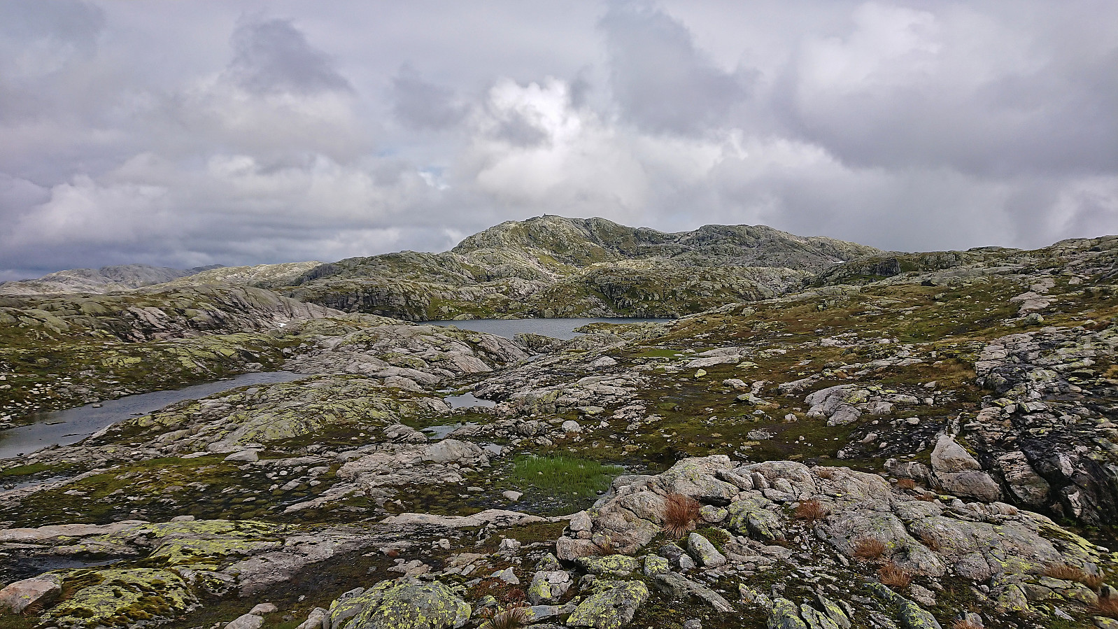
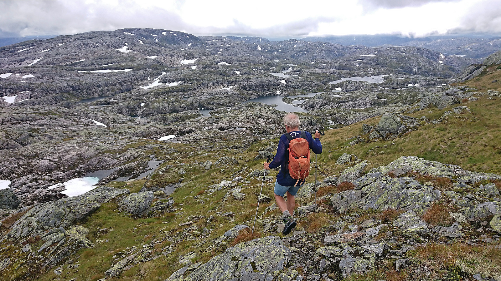
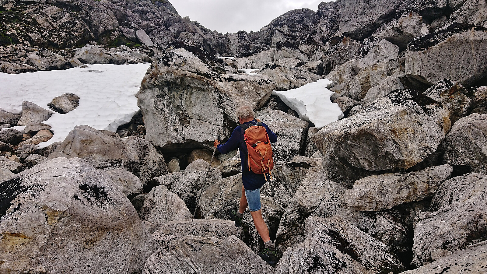
At the summit, Petter had been waiting for around 15 minutes and was eager to start the descent. Instead of returning south via Petter's ascent route, which had not been a great success, we headed southeast along the ridge before passing south between the two Sylvbergtjørnane. From there we ascended southwest via a pass filled with large boulders to finally arrive back on the marked trail next to Kvernhusbotnvatnet. All that remained was then to follow the steep trail back down to the car.
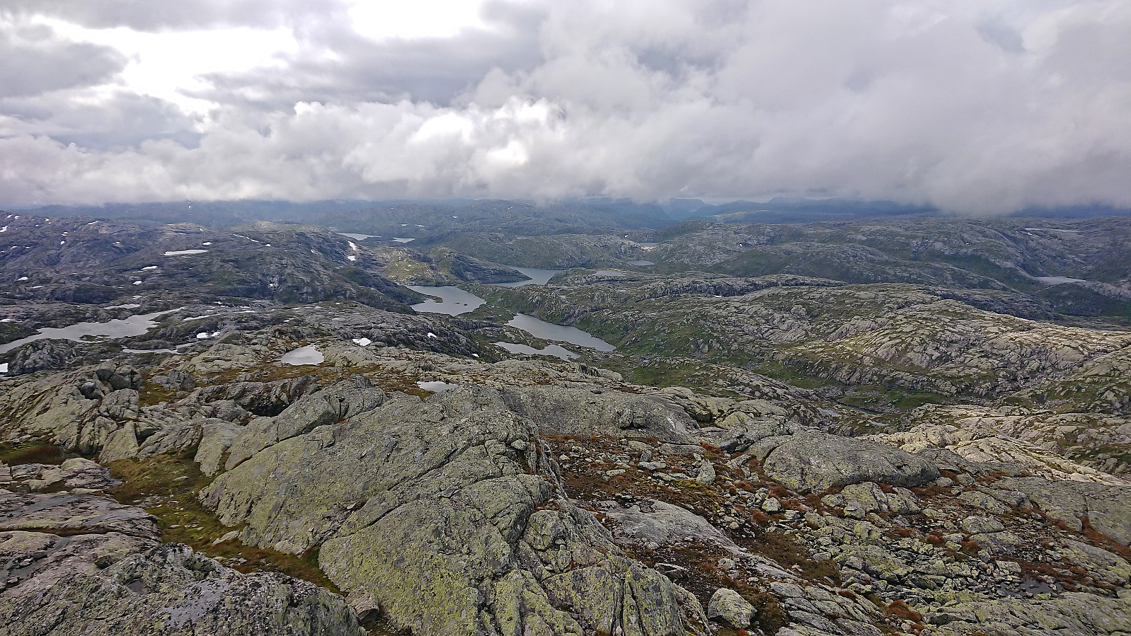
To conclude, while the steep marked trail from Steinsland to Kvernhusbotnvatnet definitely did not live up to the expectations with regards to trail quality, the rest of the hike was very nice and included lots of excellent views which more than made up for the wet and muddy start of the hike.


| Startzeitpunkt | 20.08.2023 09:12 (UTC+01:00 SZ) |
| Endzeitpunkt | 20.08.2023 17:03 (UTC+01:00 SZ) |
| Gesamtzeit | 7h 50min |
| Zeit in Bewegung | 7h 13min |
| Pausenzeit | 0h 36min |
| Gesamtschnitt | 2,3km/h |
| Bewegungsschnitt | 2,5km/h |
| Entfernung | 18,2km |
| Höhenmeter | 1.577m |


Benutzerkommentare