
Bogsnesåsen (04.06.2023)

Geschrieben von hbar (Harald Barsnes)

| Startpunkt | Bogsnesåsen p-plass (2m) |
|---|---|
| Endpunkt | Bogsnesåsen p-plass (2m) |
| Tourcharakter | Bergtour |
| Tourlänge | 0h 41min |
| Entfernung | 3,1km |
| Höhenmeter | 138m |
| GPS |
|
| Besteigungen | Bogsnesåsen (124m) | 04.06.2023 |
|---|---|---|
| Besuche anderer PBE | Bogsnesåsen p-plass (2m) | 04.06.2023 |
Bogsnesåsen
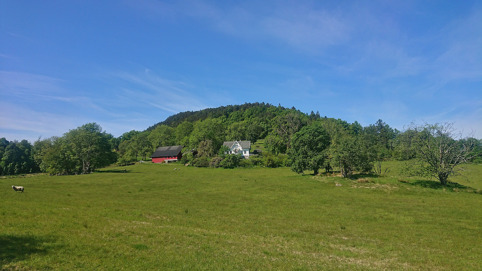
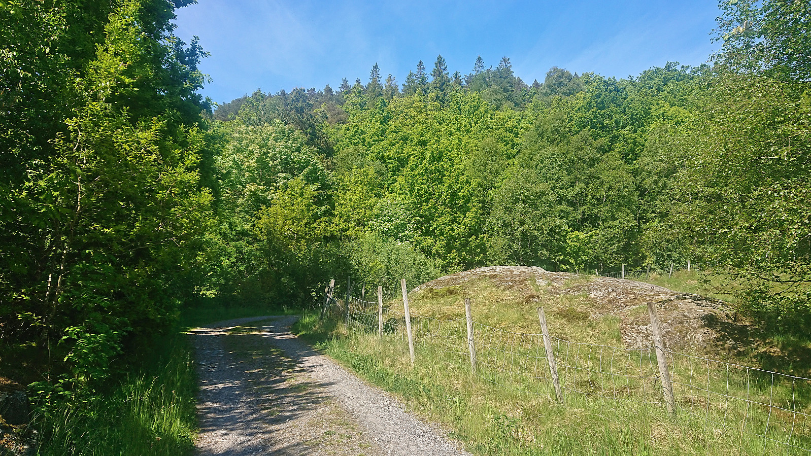
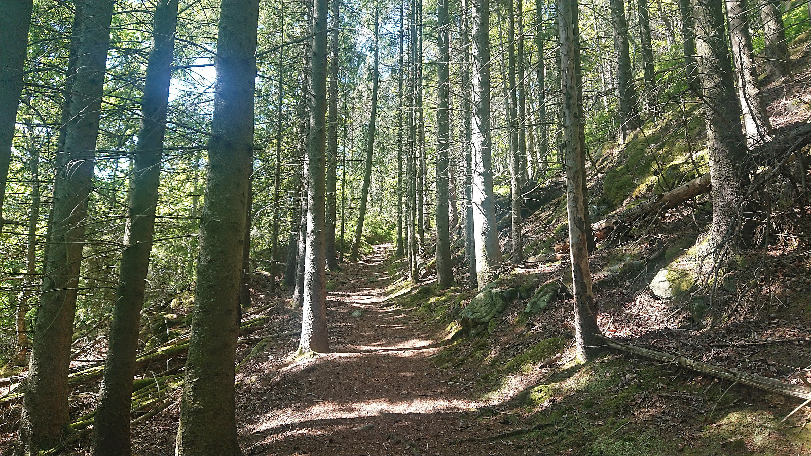
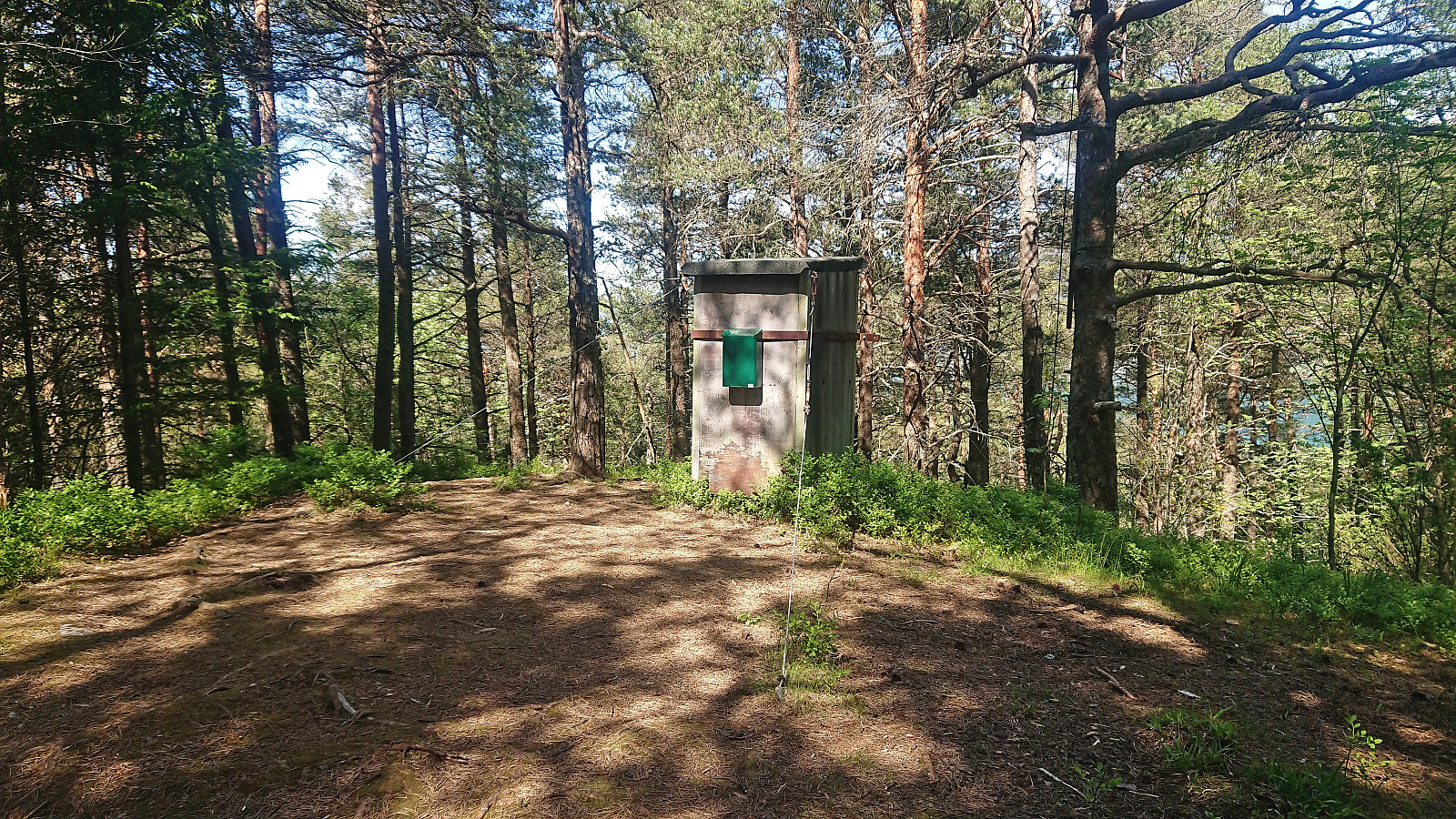
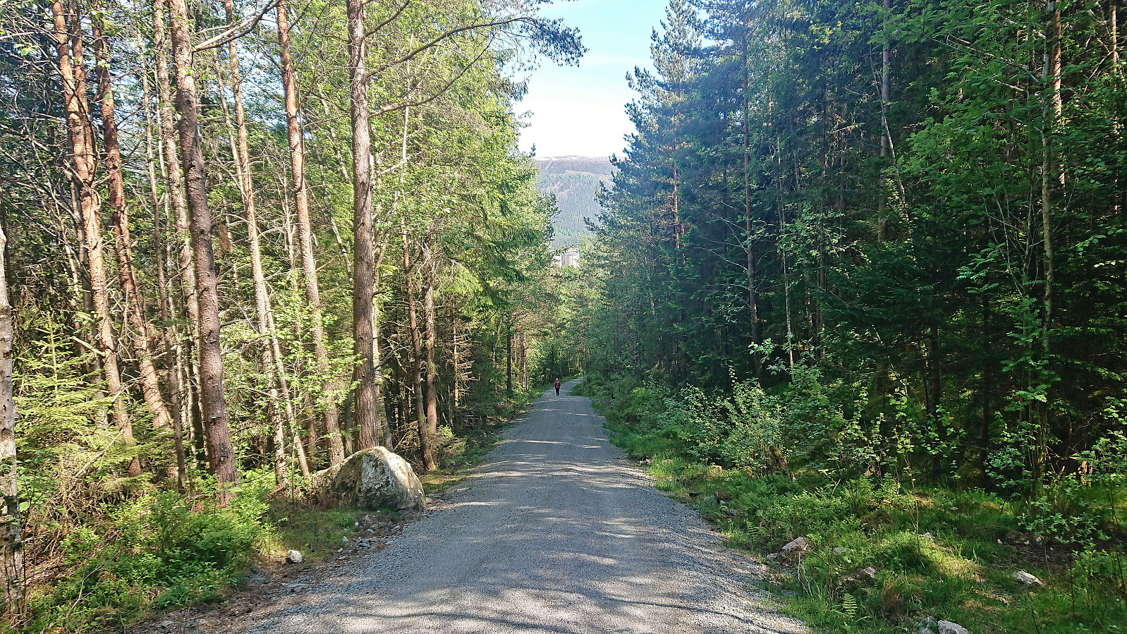
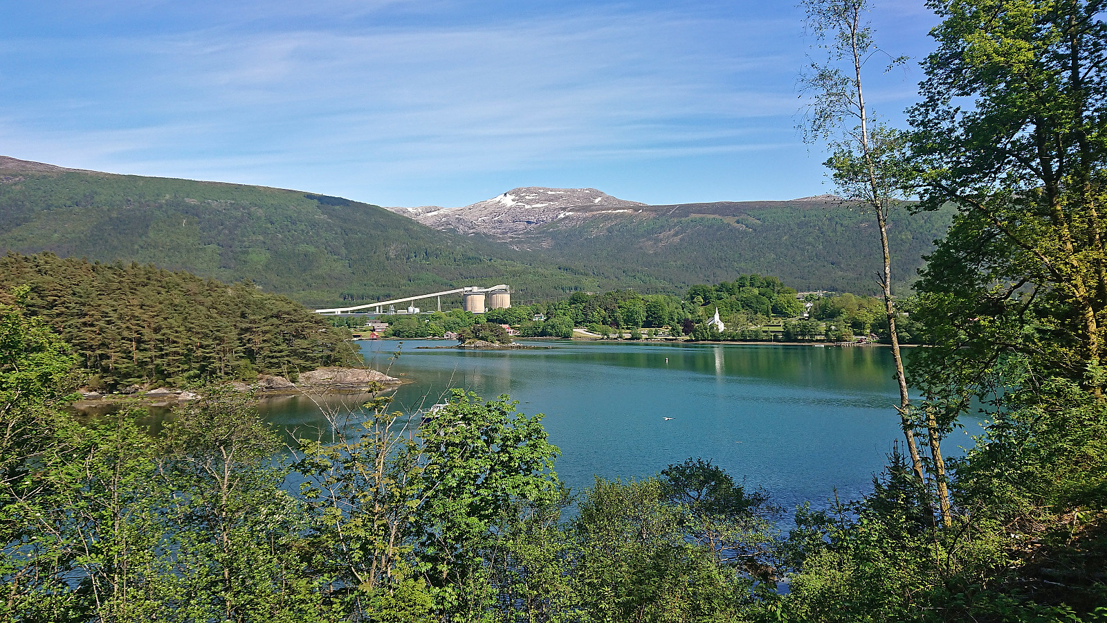
After the visit of Kaldestadåsen, we had initially hoped to also have the time for a visit of Vikefjell, but in order to not take any chances with the ferry, we decided to instead just had straight for Bogsnesåsen. We parked at the small parking lot just southeast of the summit and briefly walked west along the paved road before following a gravel road to the unmarked trailhead. The trail was also unmarked but easy to follow and it did not take long before we arrived at a rather uninteresting summit with very limited views. Hence we did not stay long before descending.
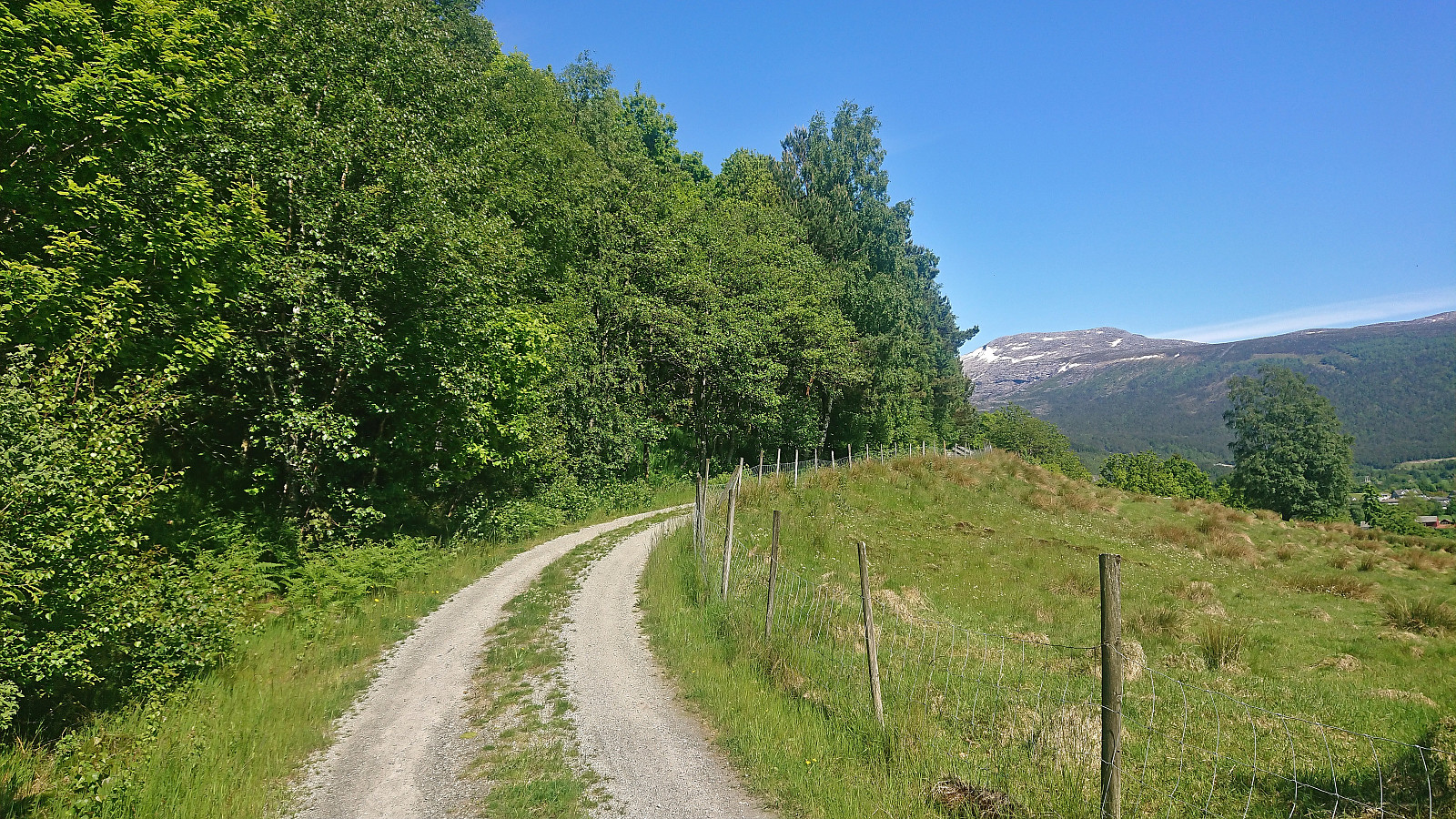
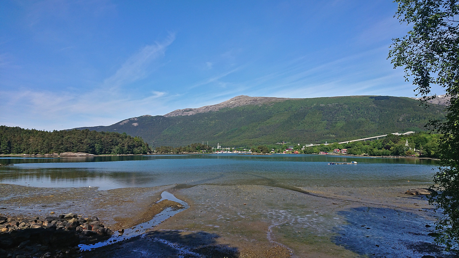
Shortly after, we concluded that an earlier ferry from Årsnes, which had been considered at the start of the ascent, would not be possible after all. At the first opportunity we therefore turned north to extend the hike and explore the area further. (Note that if this is the plan from the beginning, you can simply continue north directly from the summit.) North of the summit we connected with a gravel road that took us back to the parking lot.
All that remained was then the long drive back to Bergen to conclude a very successful day of peak bagging in Kvinnherad with seven new peaks in total. Takk for turen, Petter!
| Startzeitpunkt | 04.06.2023 15:30 (UTC+01:00 SZ) |
| Endzeitpunkt | 04.06.2023 16:11 (UTC+01:00 SZ) |
| Gesamtzeit | 0h 41min |
| Zeit in Bewegung | 0h 40min |
| Pausenzeit | 0h 1min |
| Gesamtschnitt | 4,4km/h |
| Bewegungsschnitt | 4,6km/h |
| Entfernung | 3,1km |
| Höhenmeter | 137m |


Benutzerkommentare