
Raunefjellet from Gamlesæter (28.05.2023)

Geschrieben von hbar (Harald Barsnes)

| Startpunkt | Gamlesæter (83m) |
|---|---|
| Endpunkt | Gamlesæter (83m) |
| Tourcharakter | Bergtour |
| Tourlänge | 6h 42min |
| Entfernung | 19,3km |
| Höhenmeter | 1.234m |
| GPS |
|
| Besteigungen | Raunefjellet (826m) | 28.05.2023 |
|---|---|---|
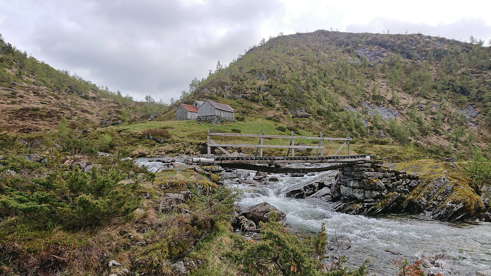
| Besuche anderer PBE | Eiterdalen (388m) | 28.05.2023 |
| Eiterdalen bro (379m) | 28.05.2023 | |
| Svartholet (215m) | 28.05.2023 |
Raunefjellet from Gamlesæter
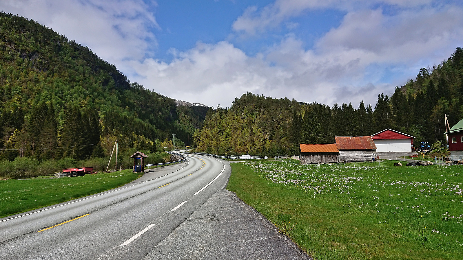
Modalen is not the most easily accessible area by public transport. Therefore, the natural starting point for a hike to Raunefjellet, i.e. the gravel road heading north from Stølen just southwest of the summit, was not an option for me and I instead had to start from Gamlesæter in Romarheimsdalen. This would result in a significantly longer hike but at least around half of it would be on trails.
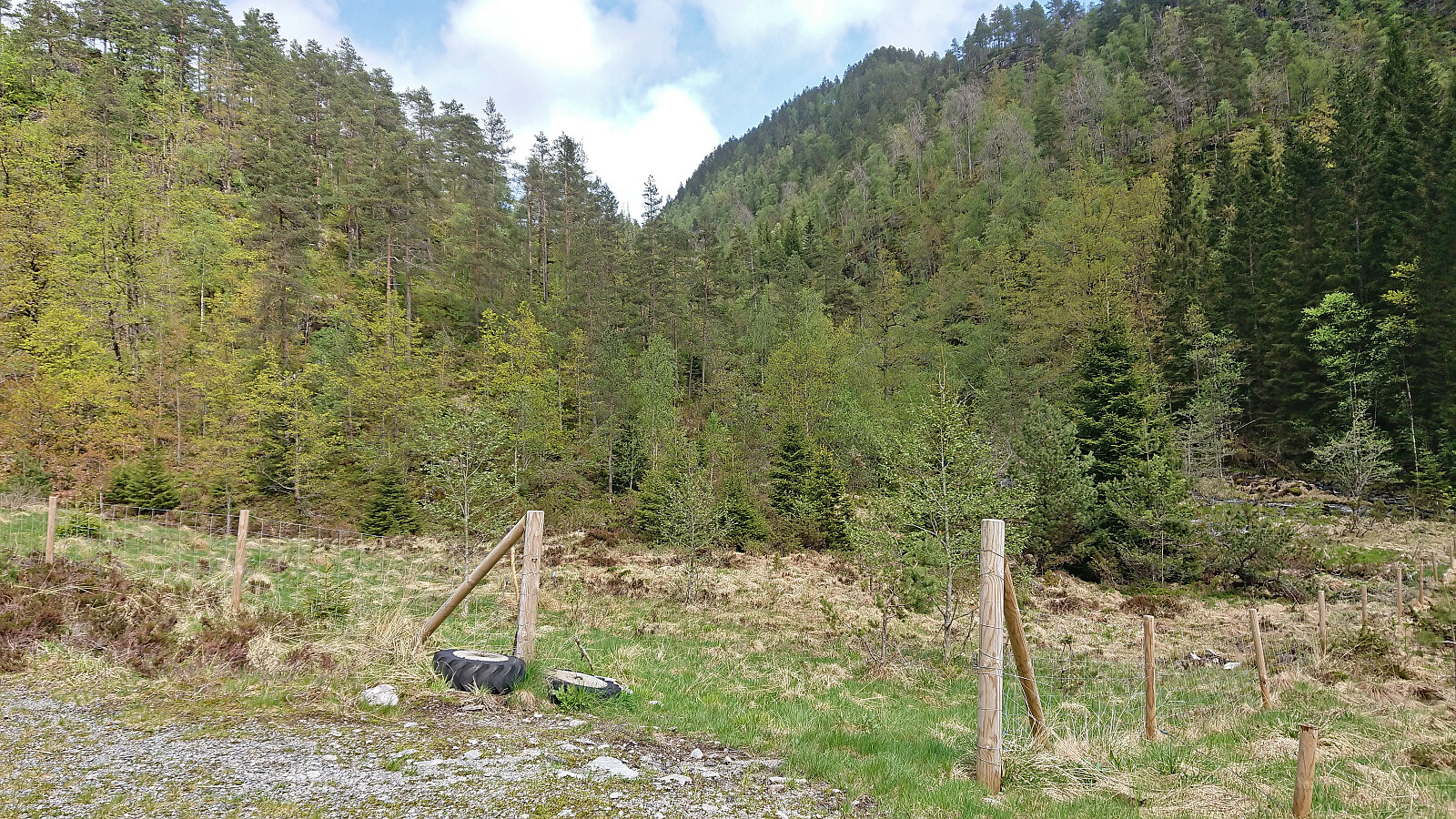
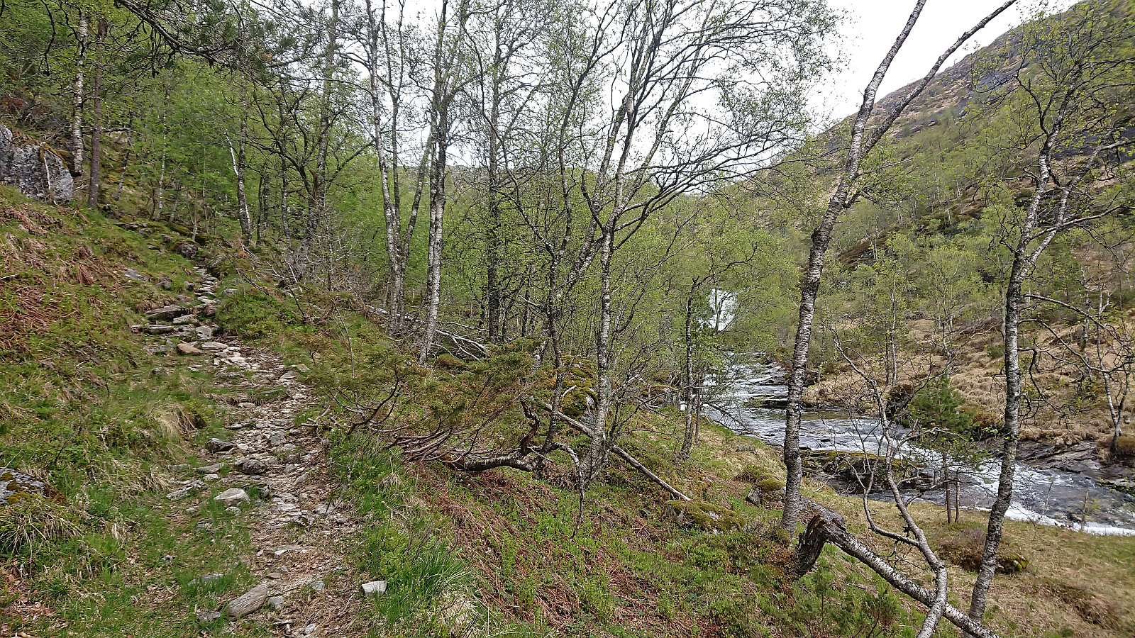
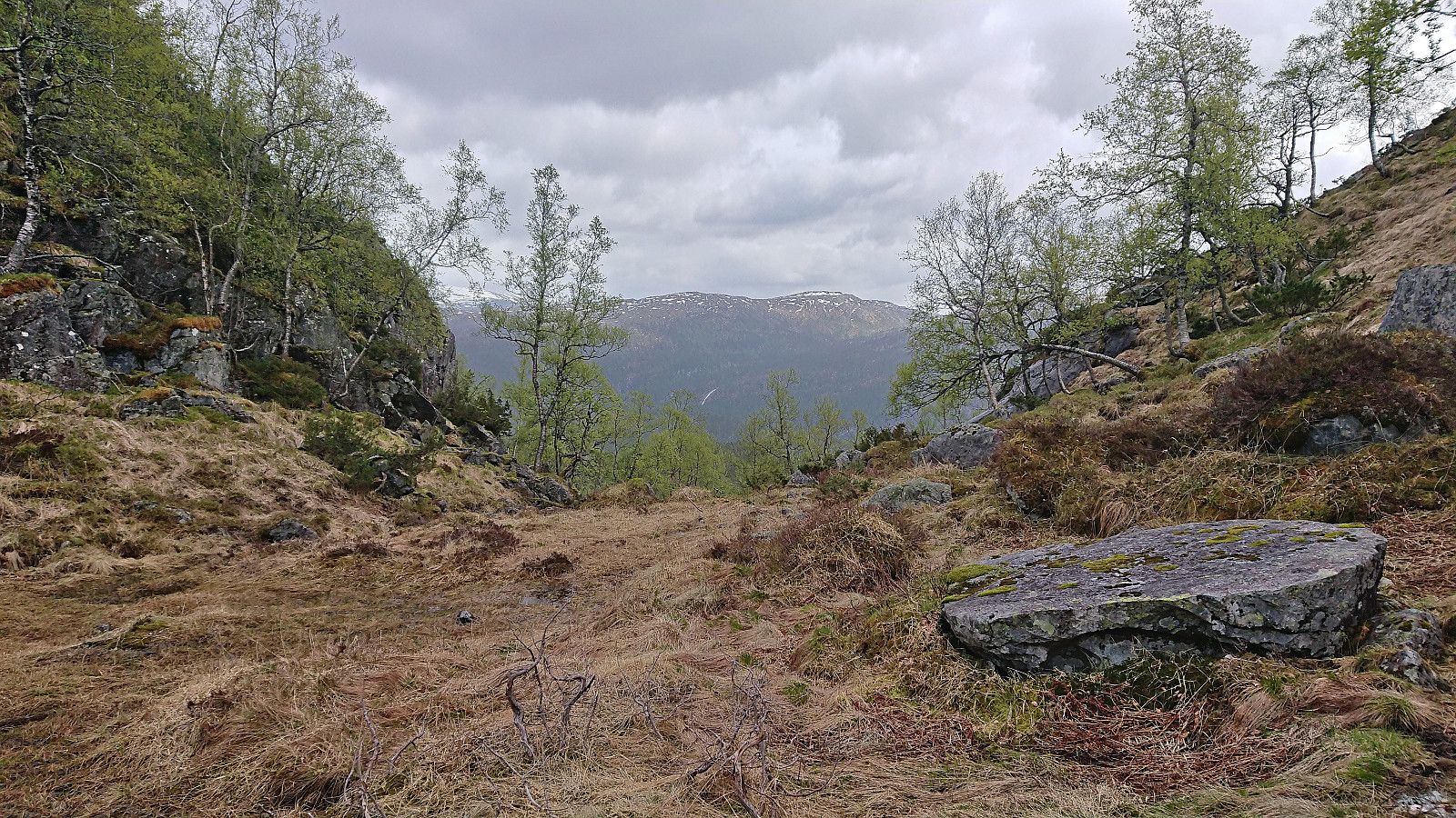
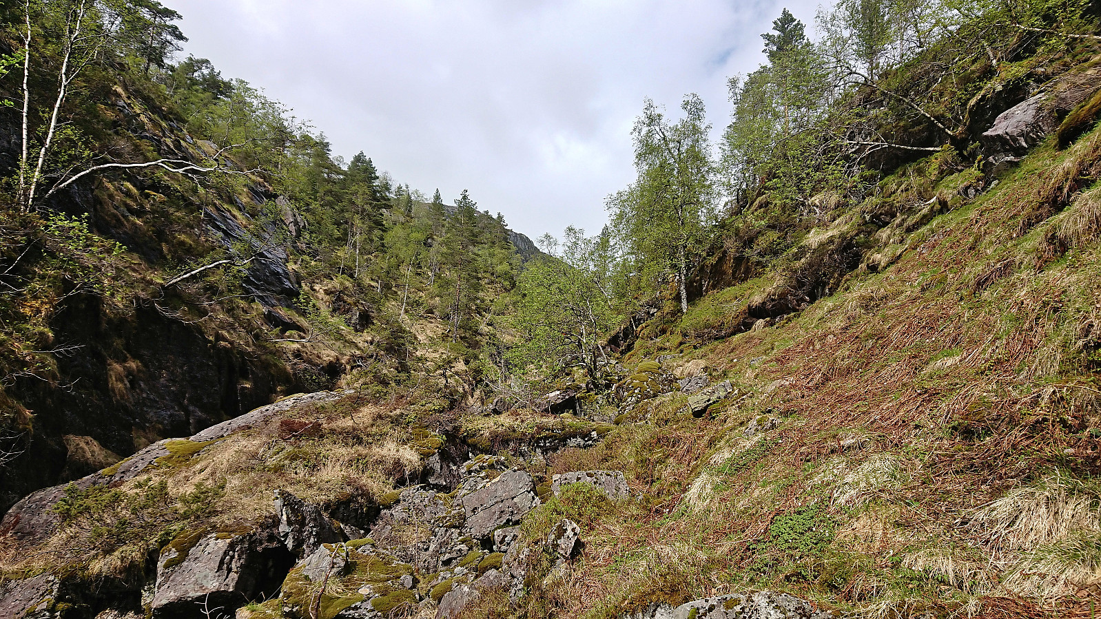
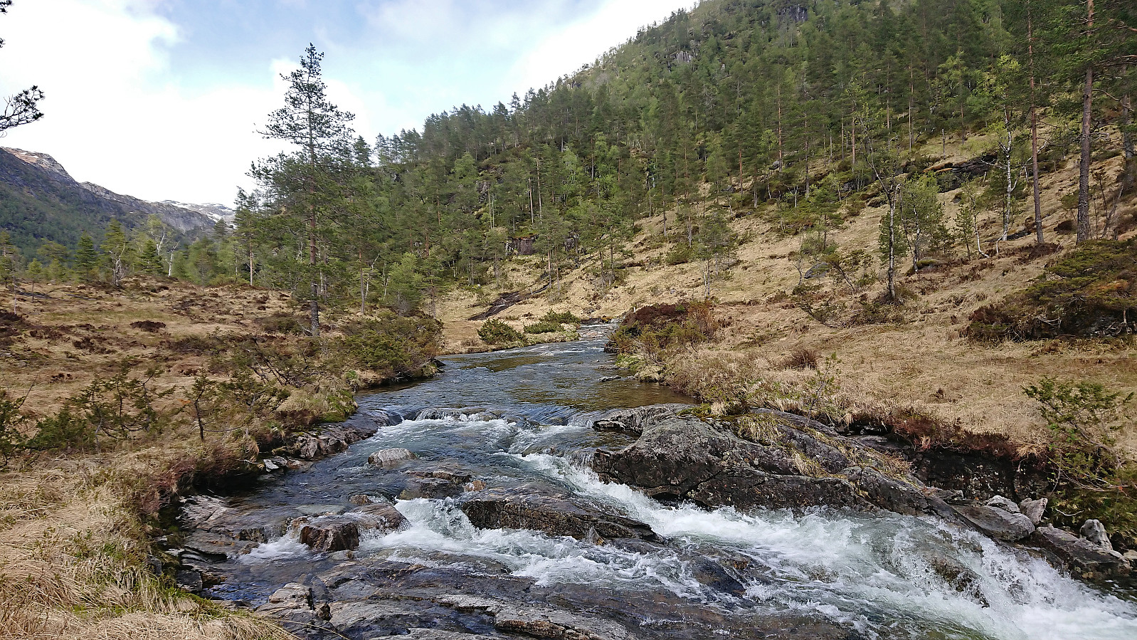
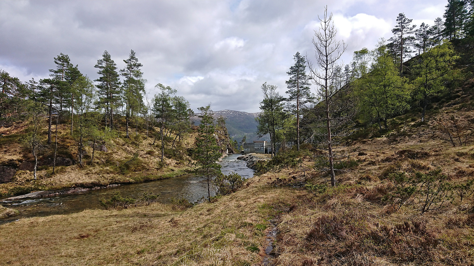
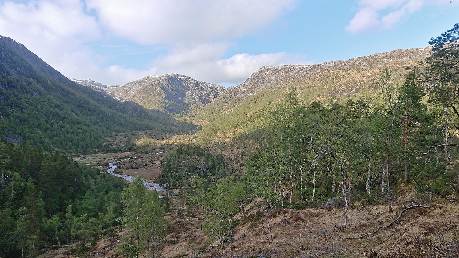
I started by taking the express bus to Gamlesæter and from there followed the unmarked trails via Langedalen to Svartholet. Decided to take off my boots when crossing the small river just west of the cabin as it was deeper than on my last visit three years earlier. After putting my boots back on I continued east to Eiterdalen. Until now I had been able to follow a trail, although a rather wet and muddy one, however at Eiterdalen the trail pretty much disappeared and of the trail the map indicated up Dalaskaret I only saw weak traces.
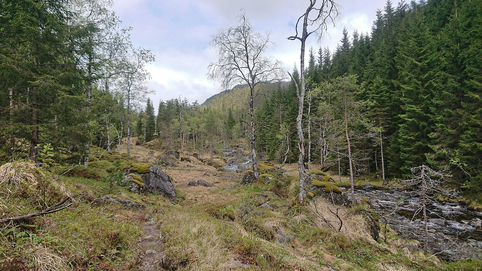
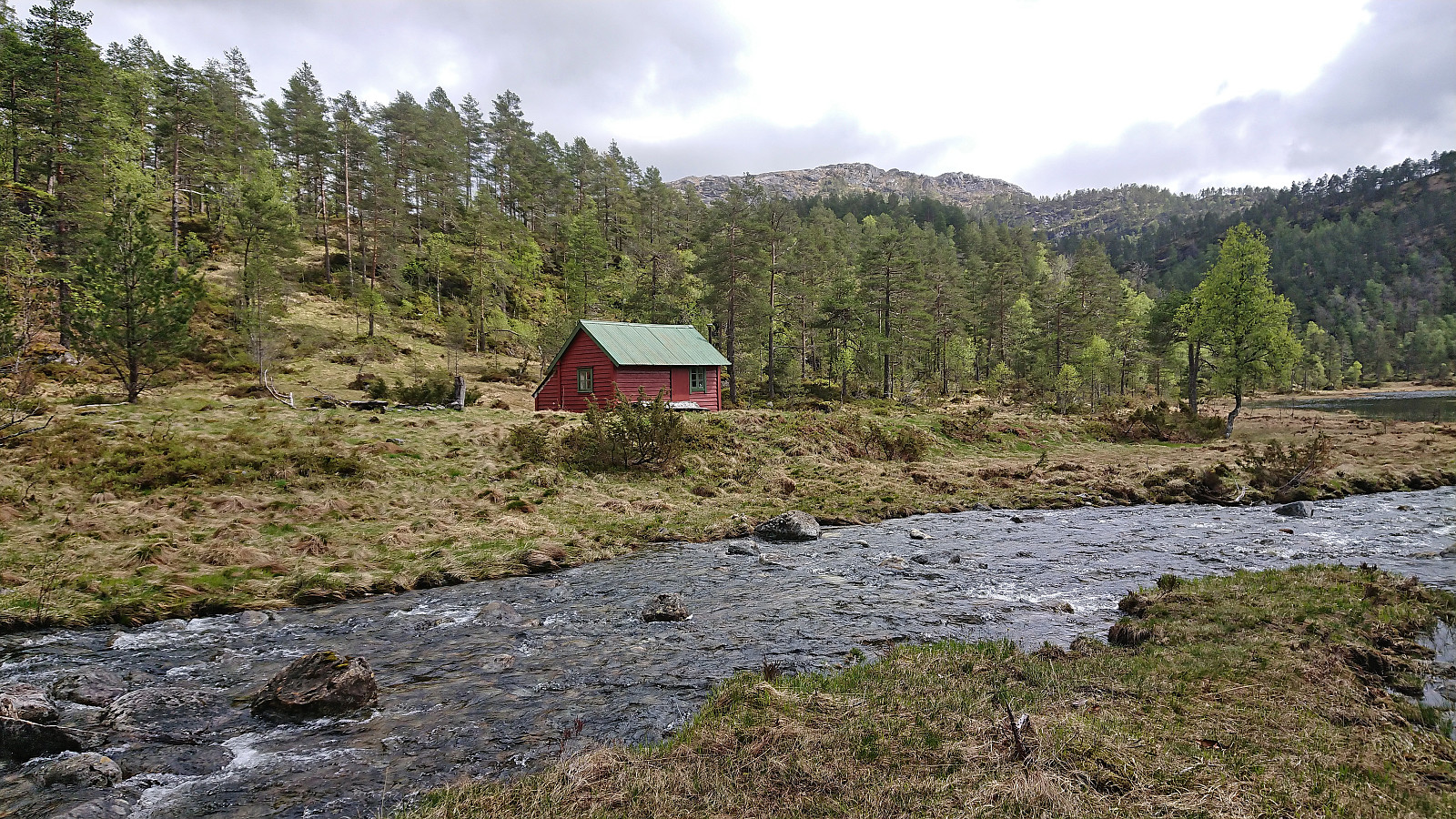
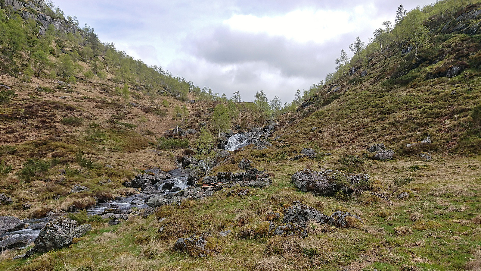
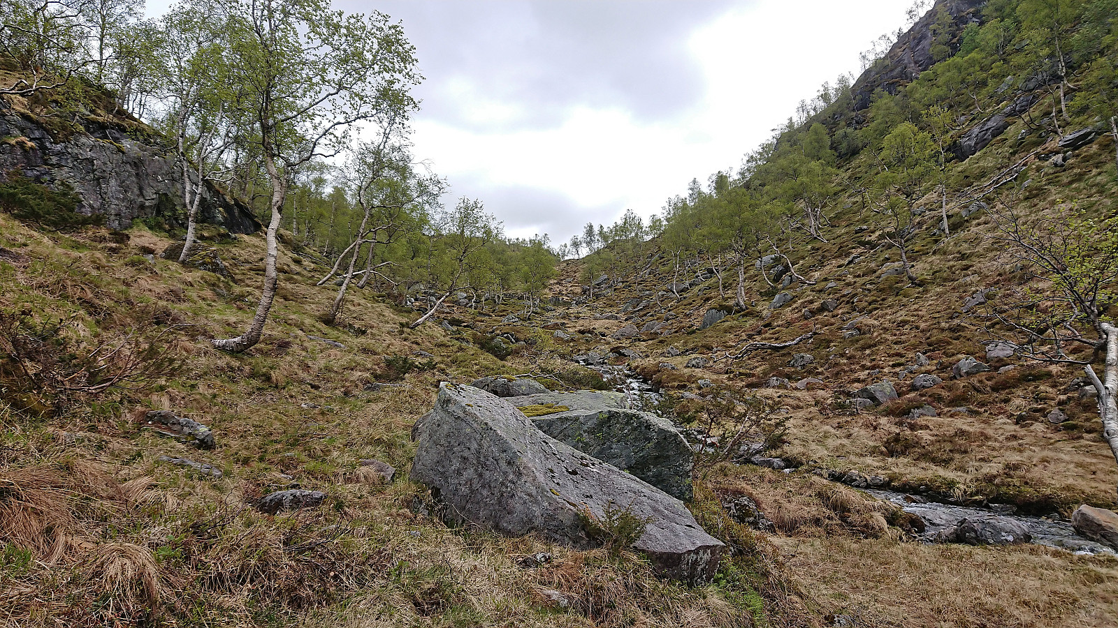
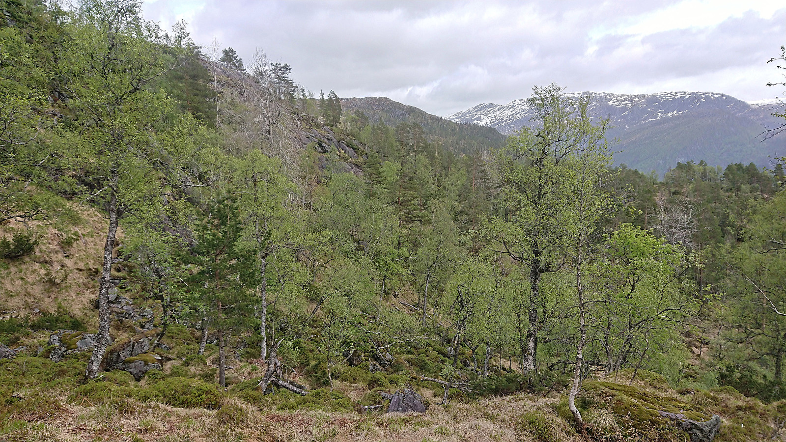
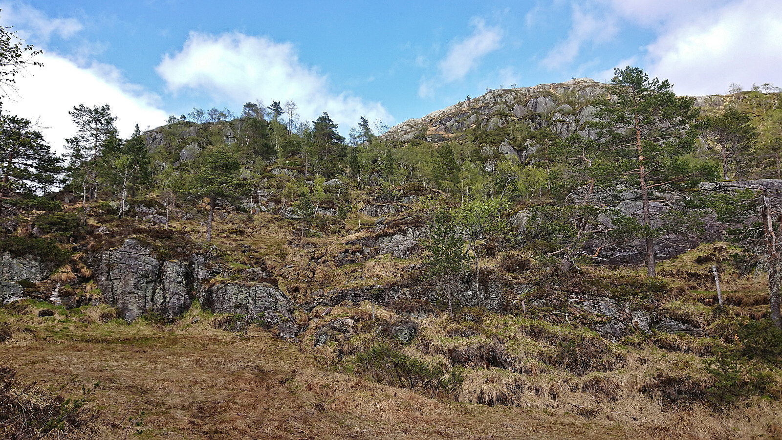
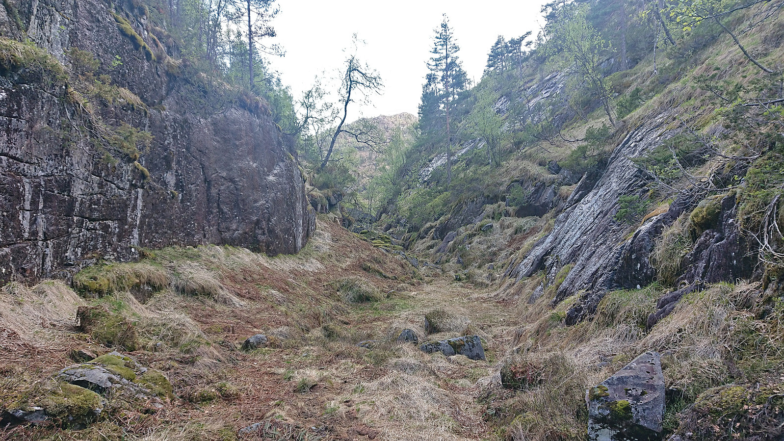
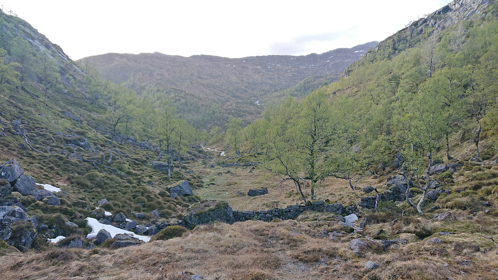
From the top of Dalaskaret I descended south before turning northeast into a narrow gorge to arrive at the top of Kroksdalen. This was overall straightforward and I was soon descending into Stølsdalen and approaching the next obstacle, namely the crossing of Nottveitelva. This would turn out more difficult than expected, but after one abandoned attempt (due to the river being too deep and slippery with the boots off) and one unnecessary detour to the unfinished dam further south (which in any case could not be used to cross the river), I gave up on staying dry and simply powered across with my boots on at a relatively shallow part of the river.
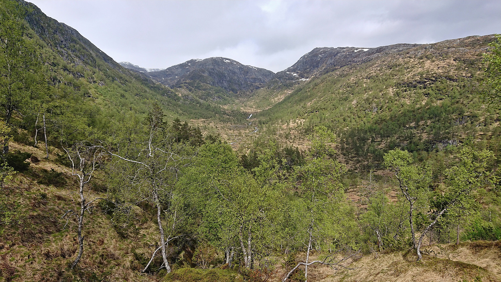
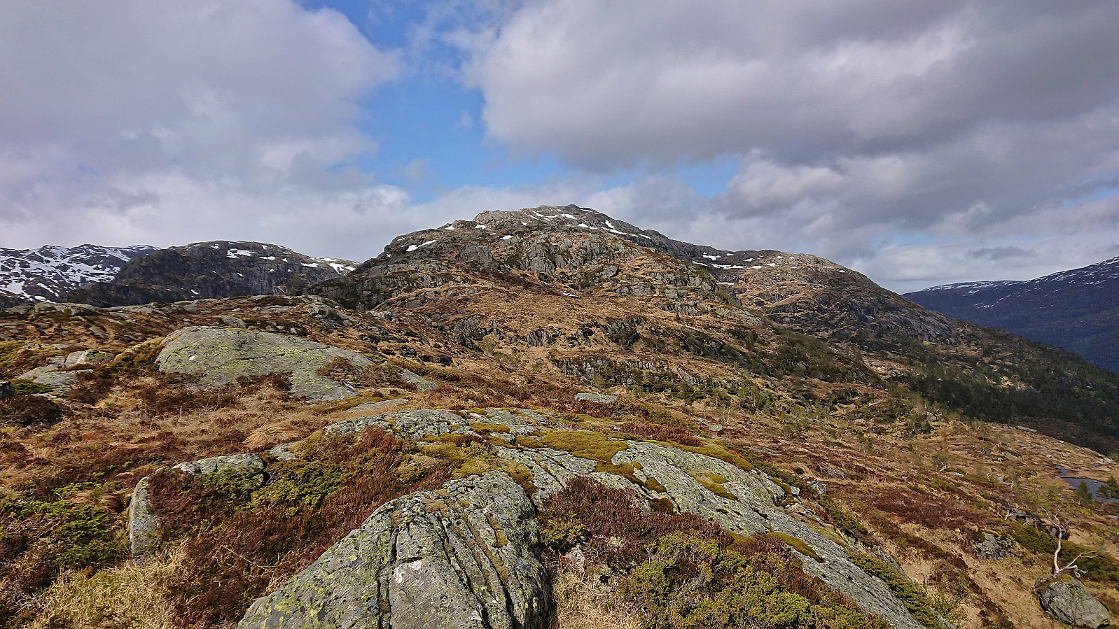
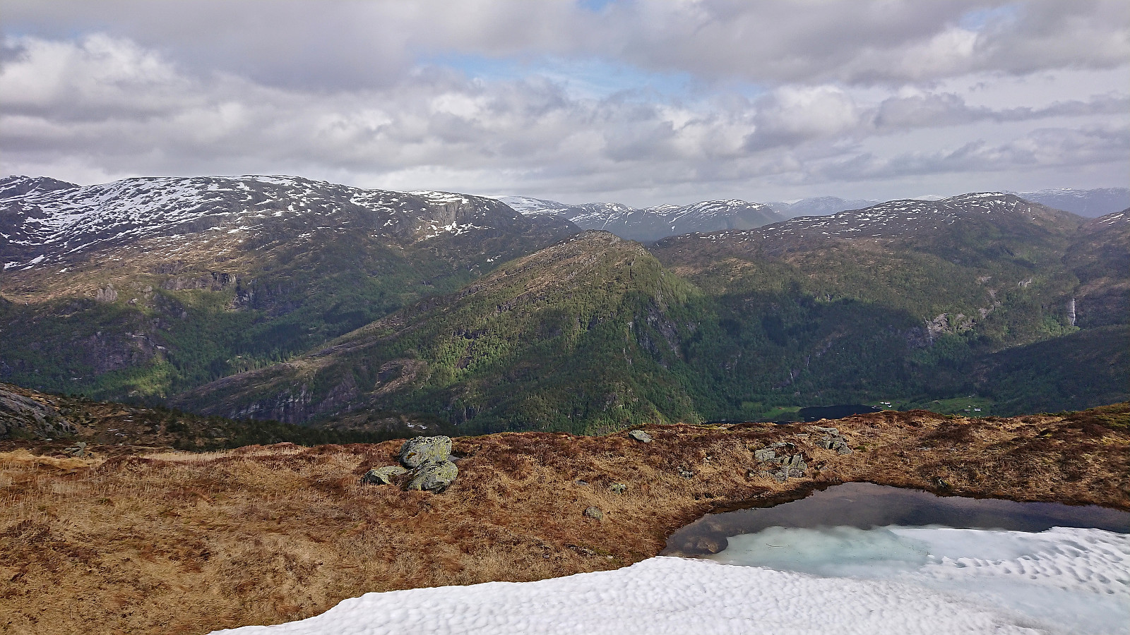
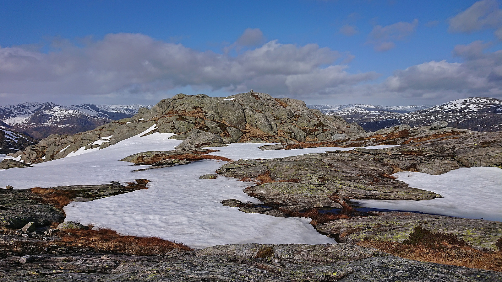
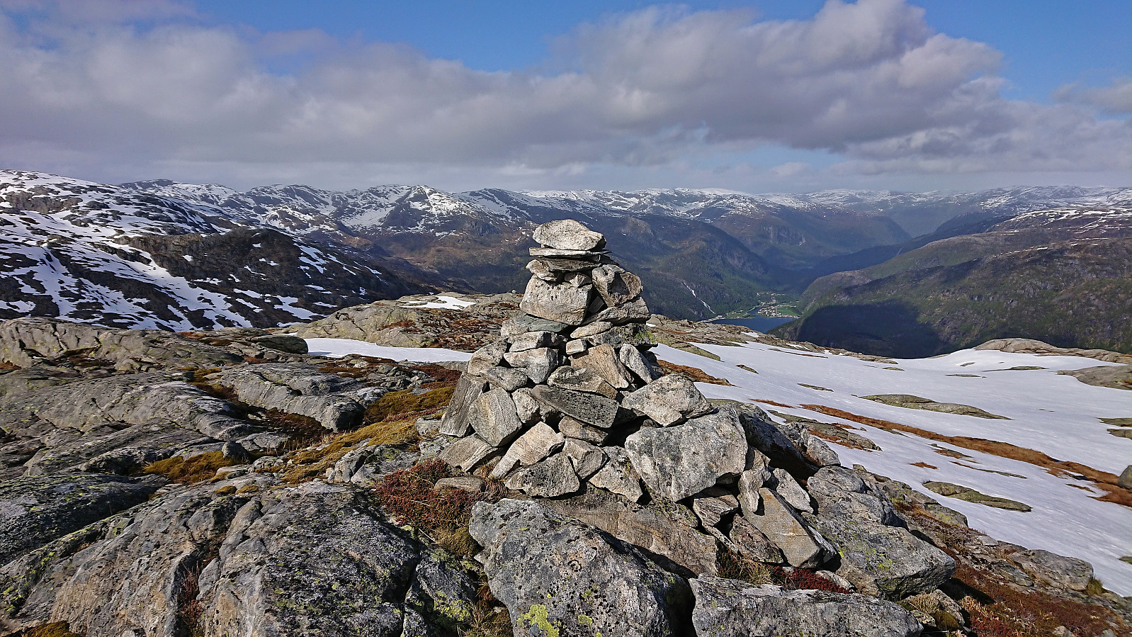
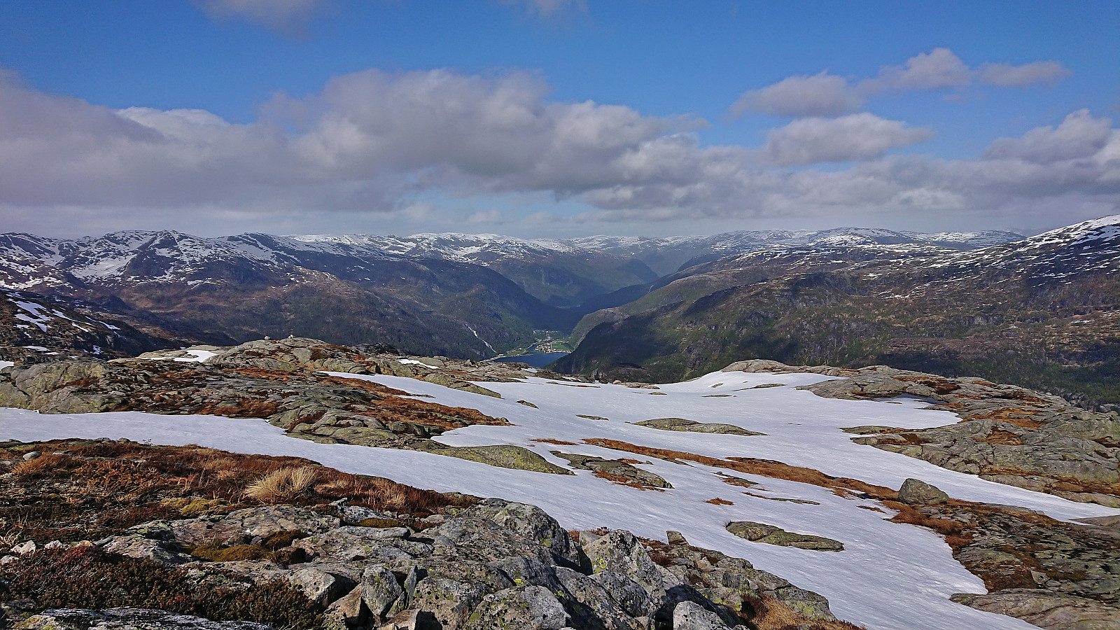
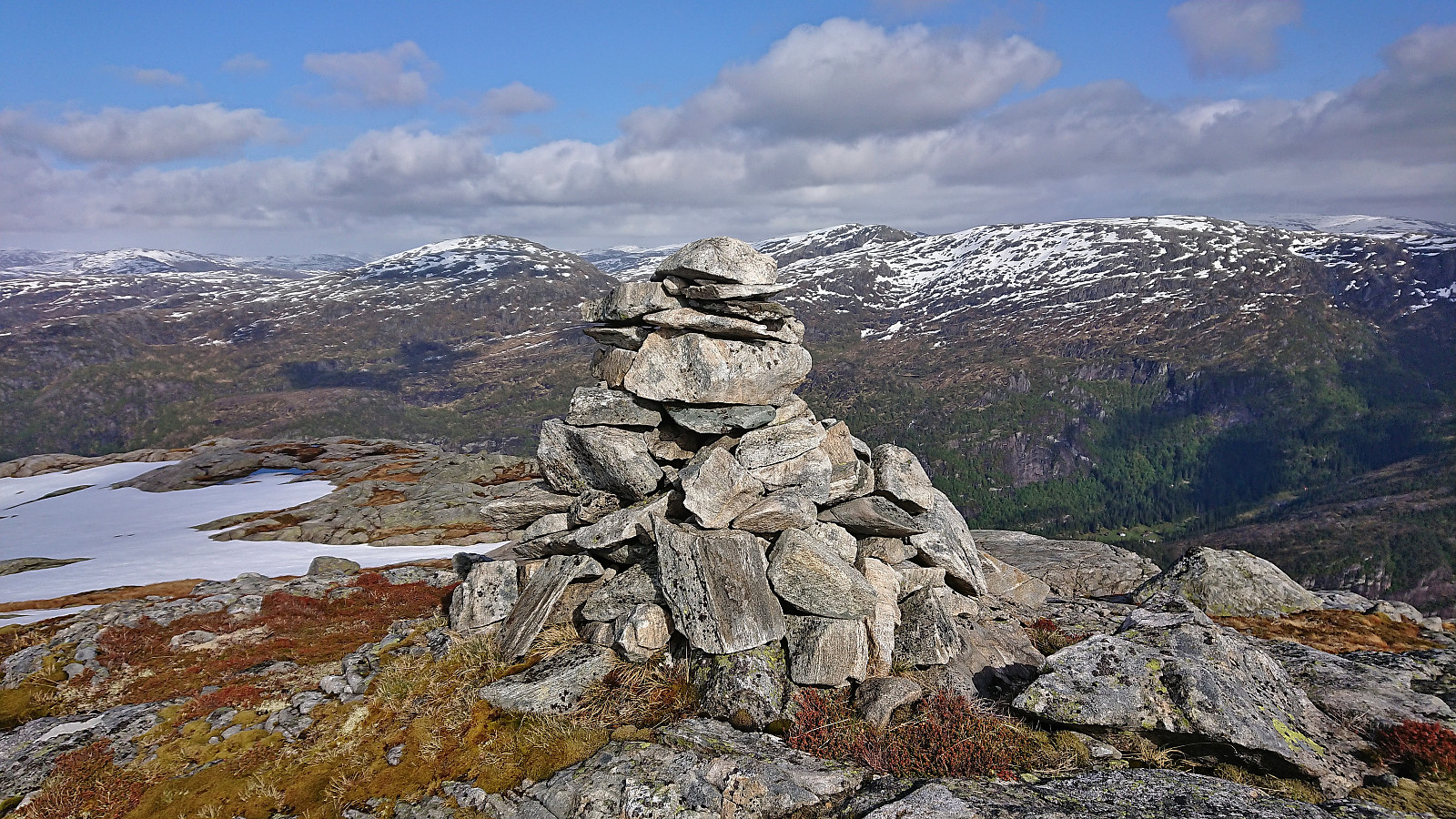
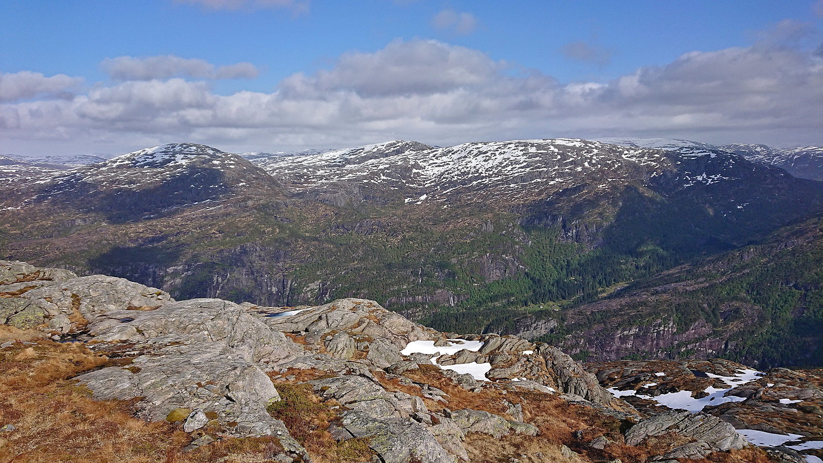
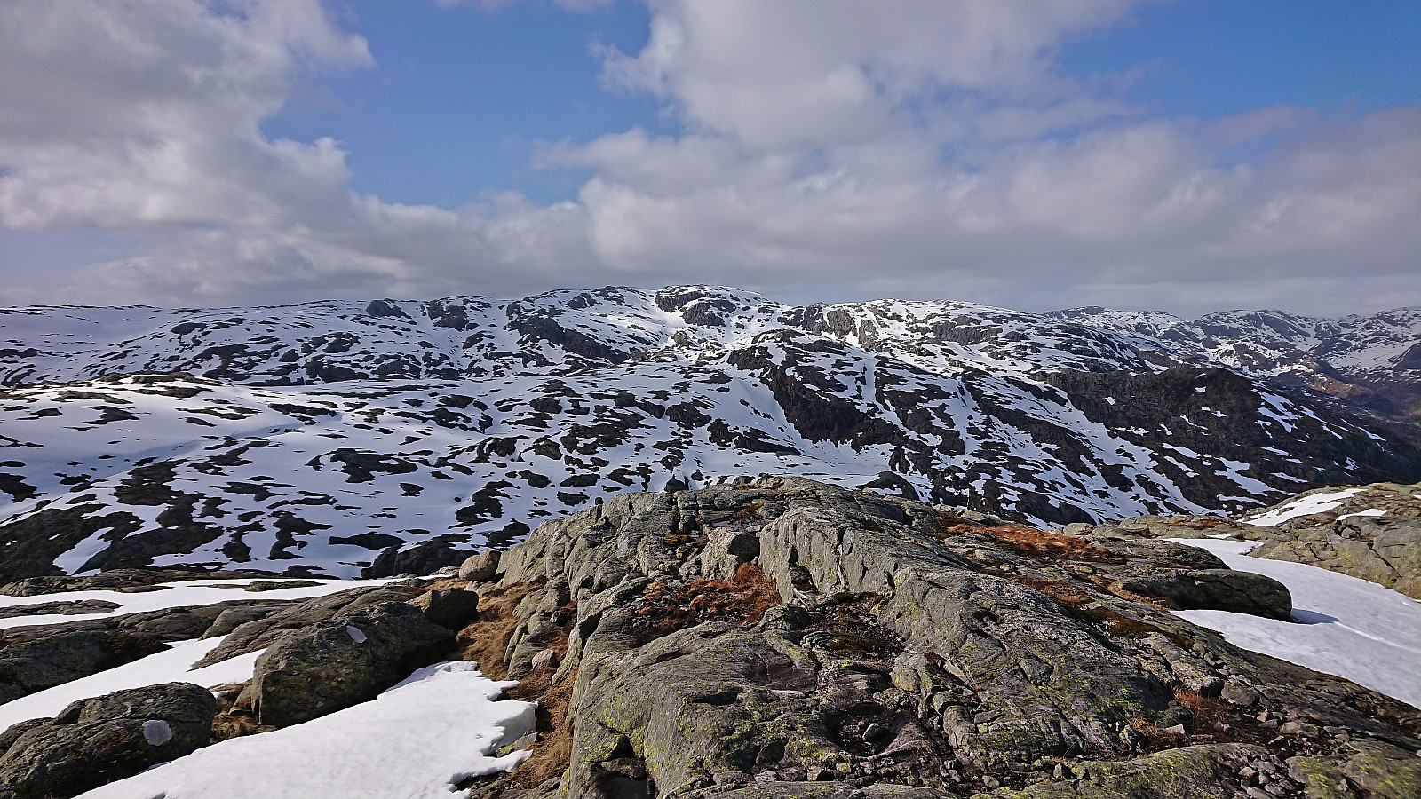
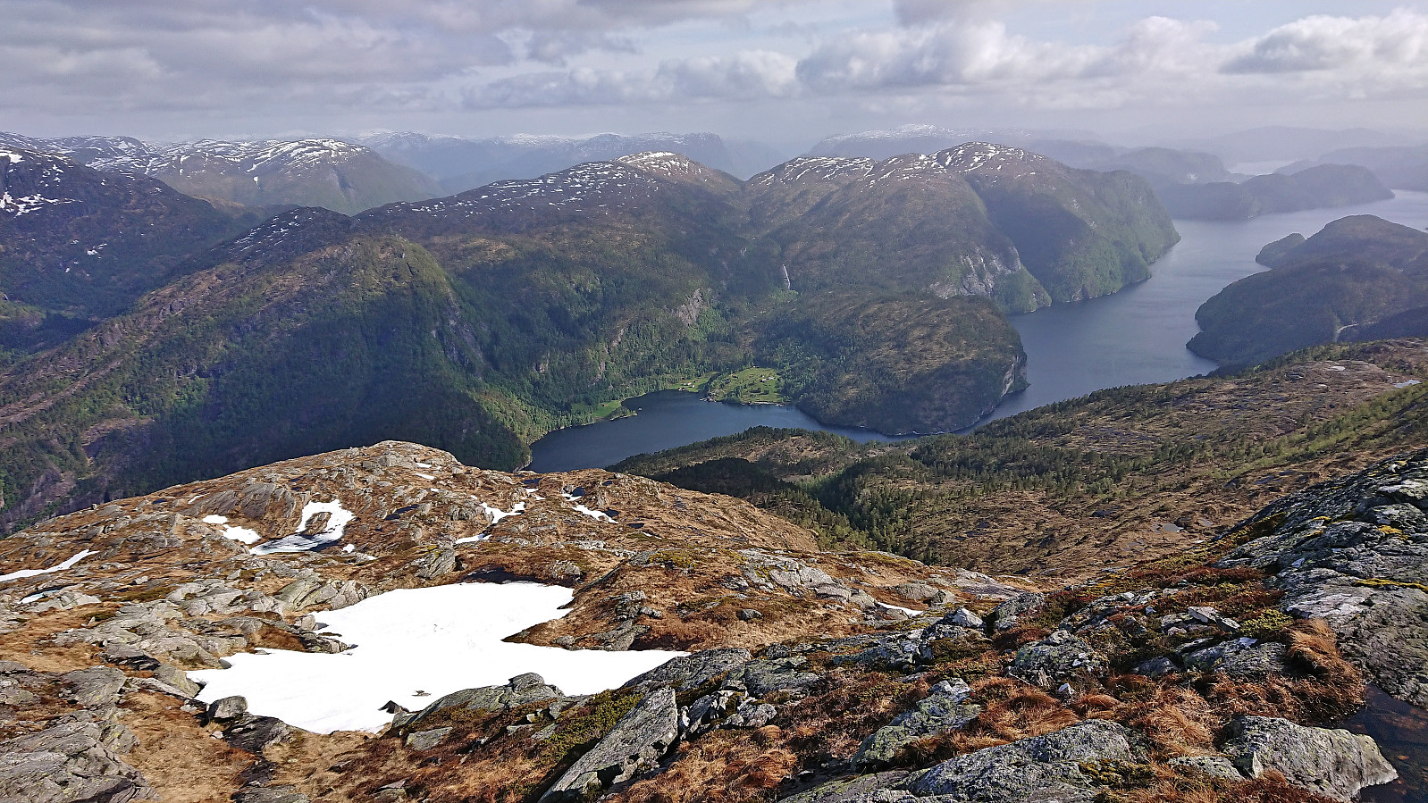
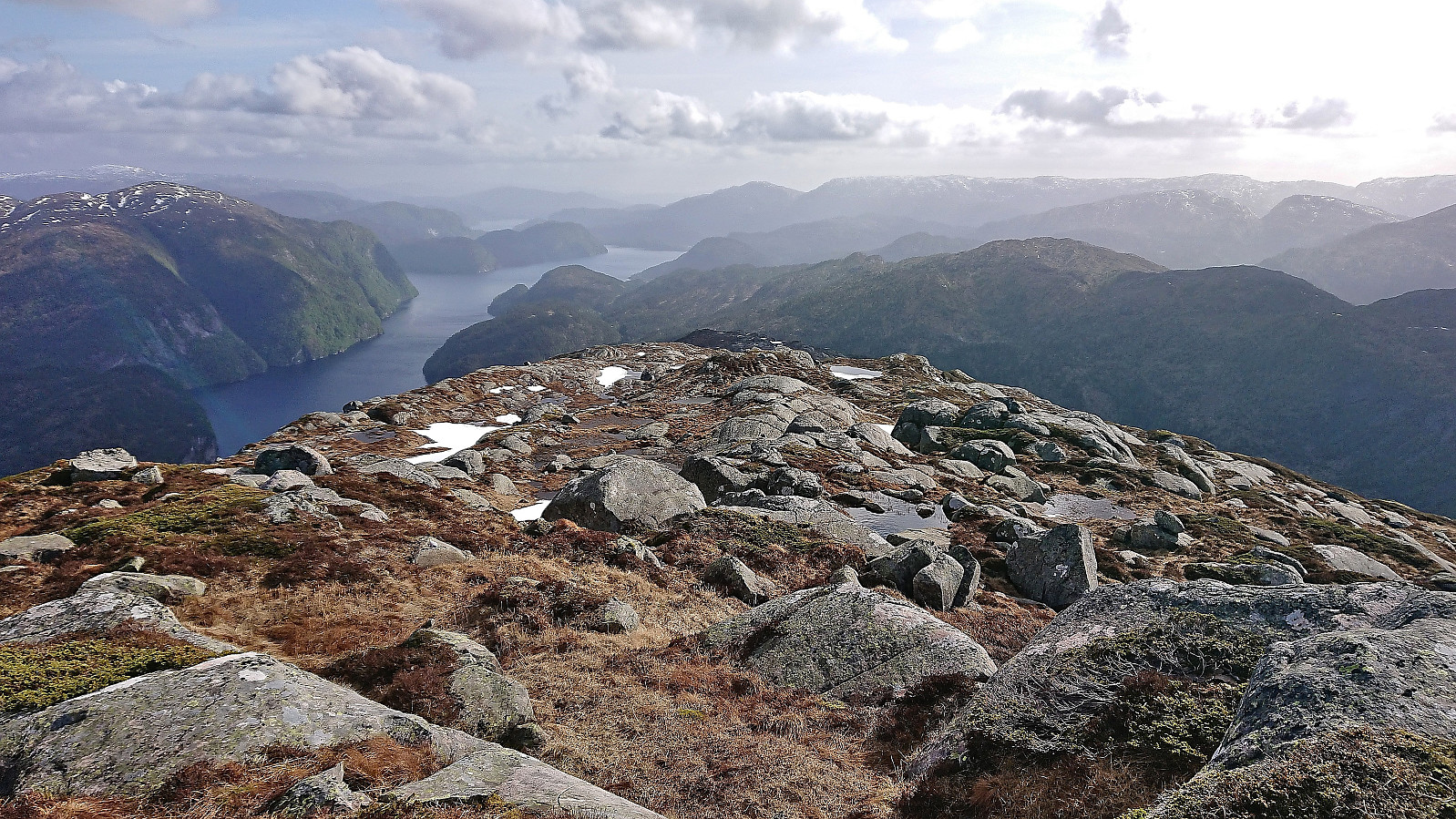
After finally having reached the other side of the river the remaining ascent to the summit of Raunefjellet was overall straightforward and did not present any real challenges. There were plenty of deer tracks that could be followed and these more or less naturally avoided the few steep areas along the way. Thankfully there were also only smaller patches of snow and I therefore made good progress. The summit provided excellent views, especially northeast to Mo and south and southwest across Mofjorden and Romarheimsfjorden.
From the summit I returned to Gamlesæter along more or less the same route, making sure that I maintained the required speed to get to the bus stop in time for the bus back to Bergen, which I did with around 10-15 minutes to spare (plus an additional 5 minutes due to a slightly delayed bus).
To conclude, while most hikers will probably ascend Raunefjellet using the shorter route via the gravel road from the southeast, the longer hike from Gamlesæter can definitely be recommended as an alternative. As a bonus you get to enjoy the nice walk along the river on your way to Eiterdalen and can perhaps even try out what has previously been selected as Norway's finest bathing location. :)
Bonus tip: If you have monthly bus pass I recommend checking out Skyss billettar på ekspressbuss to avoid having to pay full price on the express bus.
| Startzeitpunkt | 28.05.2023 13:48 (UTC+01:00 SZ) |
| Endzeitpunkt | 28.05.2023 20:30 (UTC+01:00 SZ) |
| Gesamtzeit | 6h 42min |
| Zeit in Bewegung | 6h 04min |
| Pausenzeit | 0h 37min |
| Gesamtschnitt | 2,9km/h |
| Bewegungsschnitt | 3,2km/h |
| Entfernung | 19,3km |
| Höhenmeter | 1.233m |


Benutzerkommentare