
Tveitalifjellet, Emberlandsnipen and Nipaståvo (13.11.2022)

Geschrieben von hbar (Harald Barsnes)

| Startpunkt | Haukås terminal (22m) |
|---|---|
| Endpunkt | Rød v/Tittelsnesvegen (10m) |
| Tourcharakter | Bergtour |
| Tourlänge | 4h 16min |
| Entfernung | 19,3km |
| Höhenmeter | 609m |
| GPS |
|
| Besteigungen | Emberlandsnipen (271m) | 13.11.2022 |
|---|---|---|
| Tveitalifjellet (161m) | 13.11.2022 | |
| Besuche anderer PBE | Nipaståvo (157m) | 13.11.2022 |
| Sætre p-plass (47m) | 13.11.2022 |
Tveitalifjellet, Emberlandsnipen and Nipaståvo


My plans to go hiking at Voss had to be changed when massive amounts of rainfall resulted in one of the largest floods in that area in modern history. In order to avoid any issues with blocked roads or cancelled trains, I therefore decided to instead head south for two new summits in Sveio.
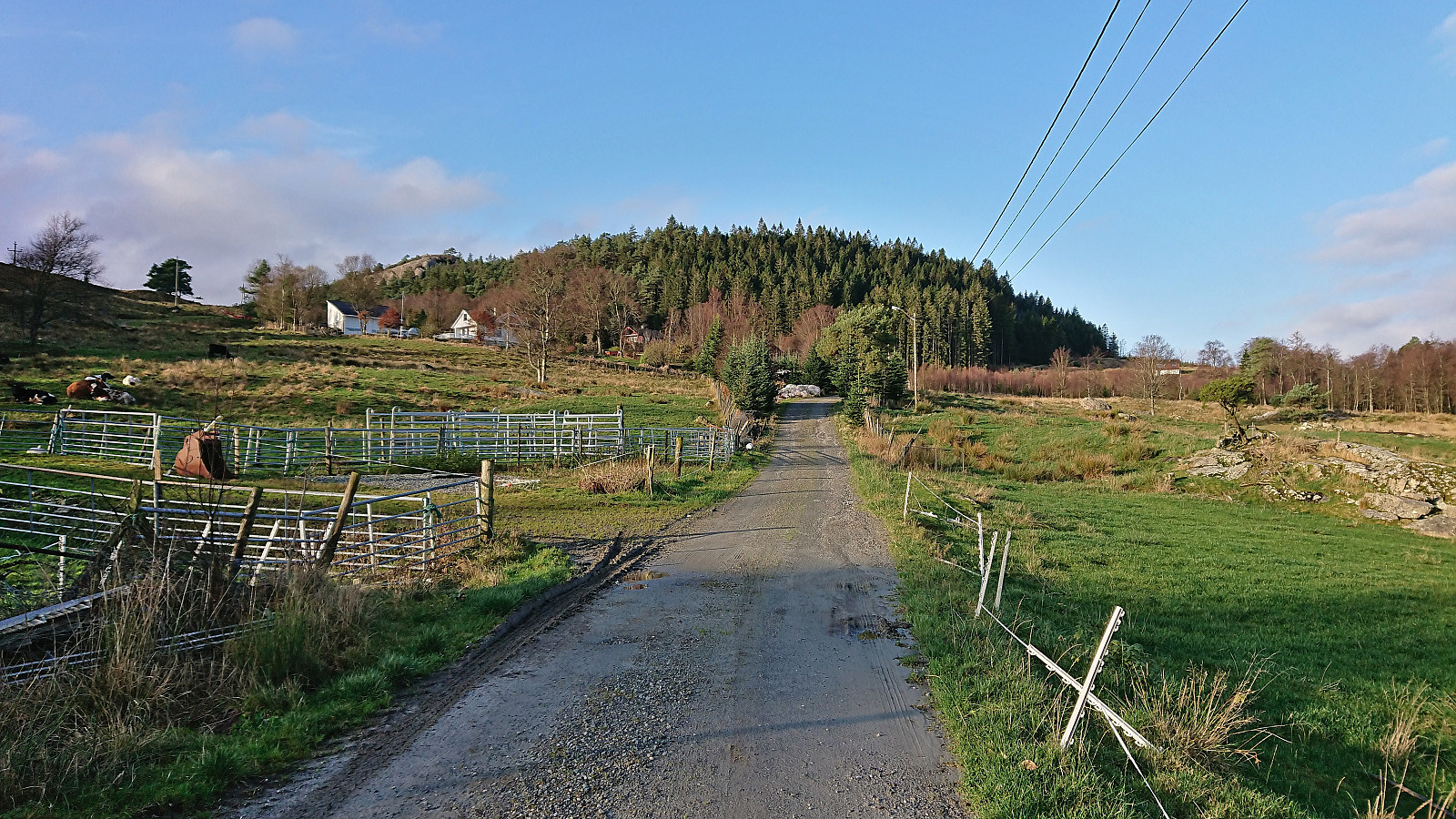
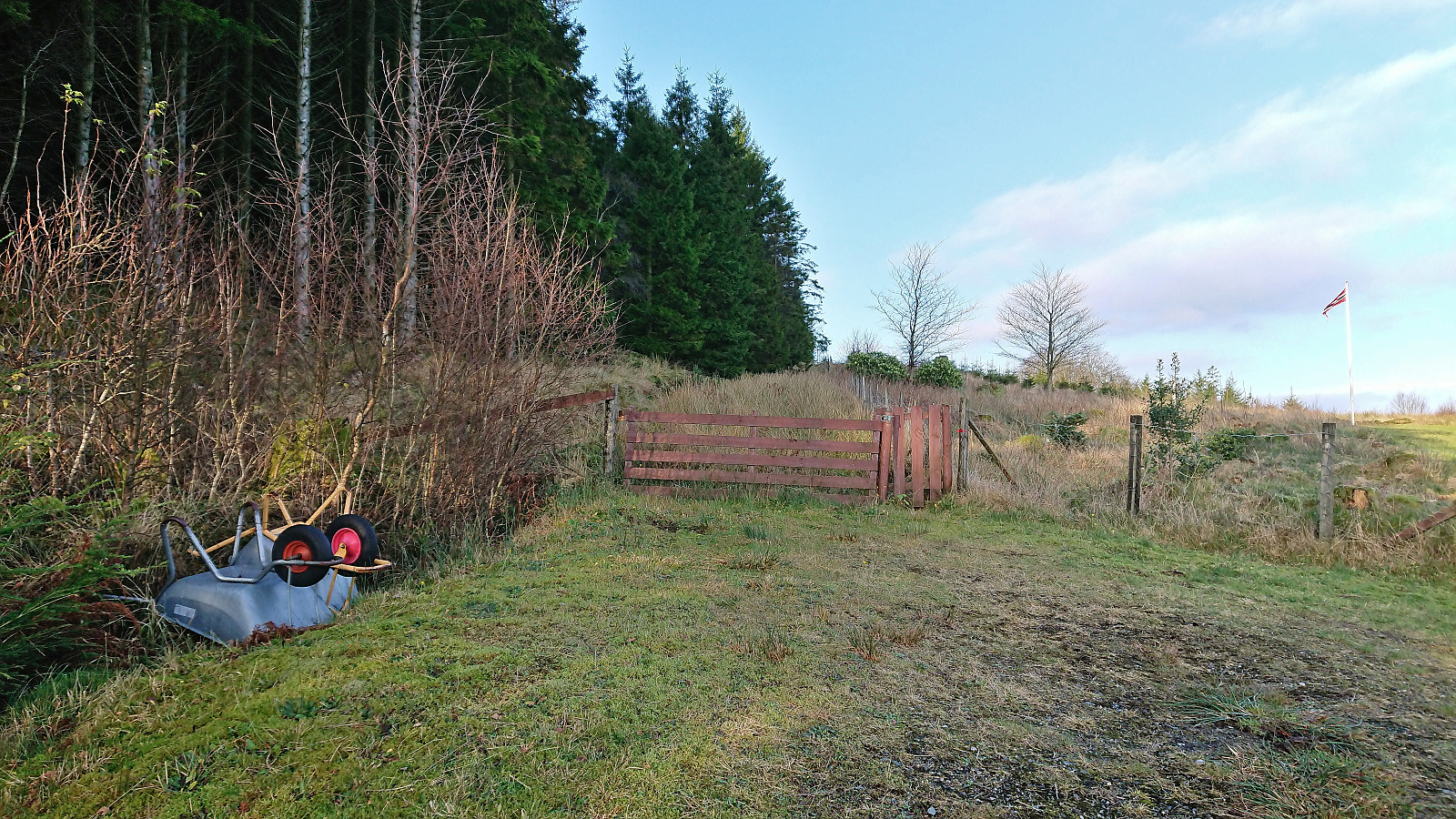
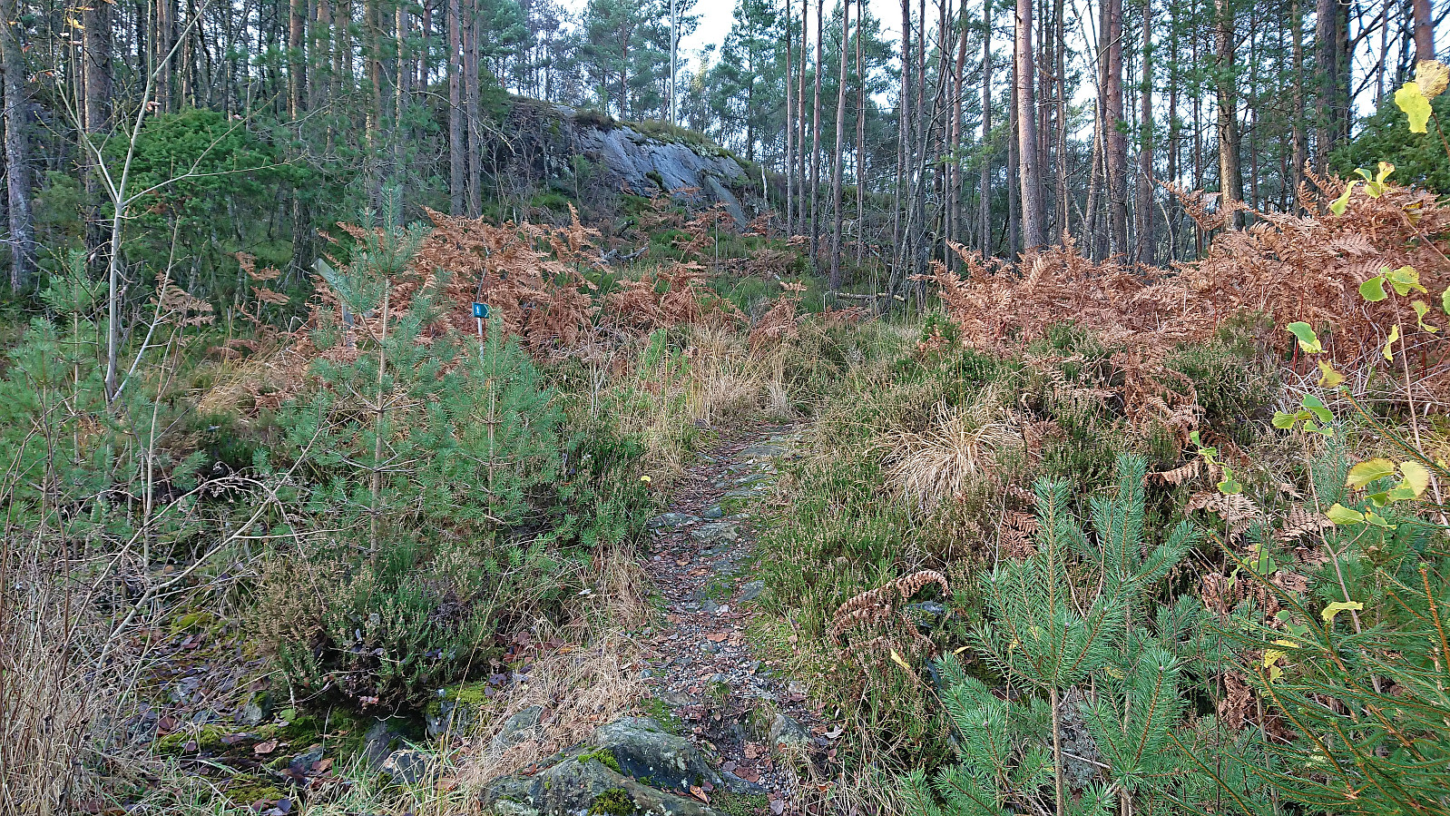
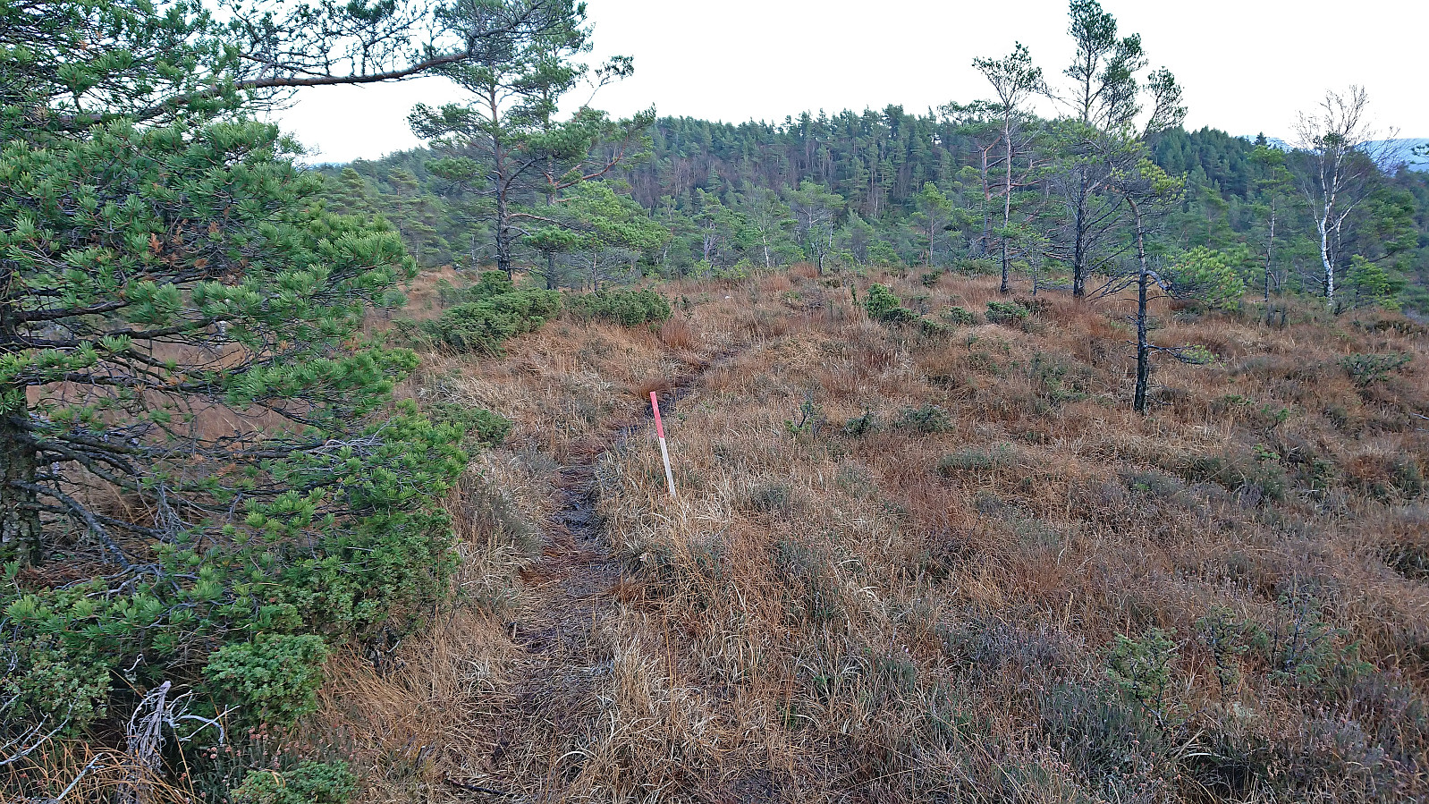
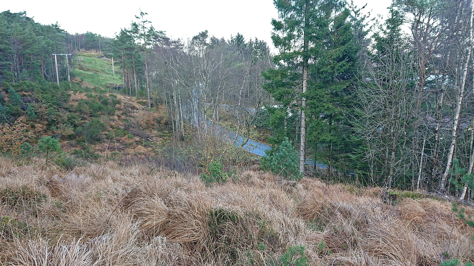
First up was Tveitalifjellet. After getting off the bus from Bergen at Haukås terminal, I walked the short distance back along the sidewalk before taking the gravel road up to Tveita. When the road ended just east of the summit, I passed through a gate and tried to follow the red plastic trail markers, but after one marker at the gate and a second when entering between the trees, I did not spot more until the terrain levelled off after the first short steep ascent. From there on there were several additional markers, but due to the trail itself being quite weak, I only partially followed them as reaching the summit was in any case straightforward.
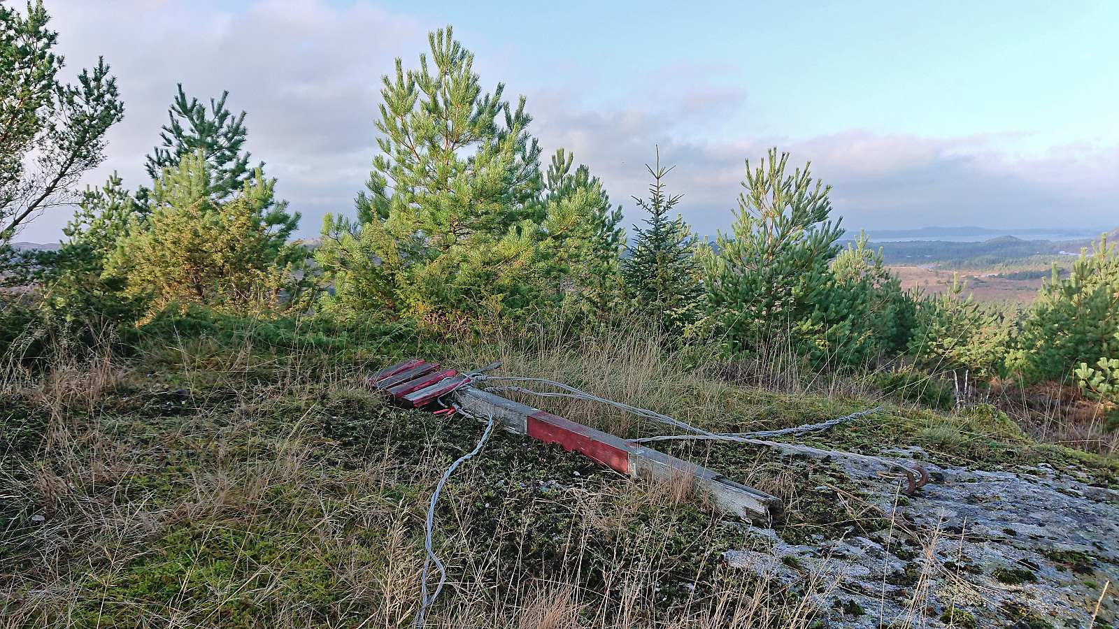
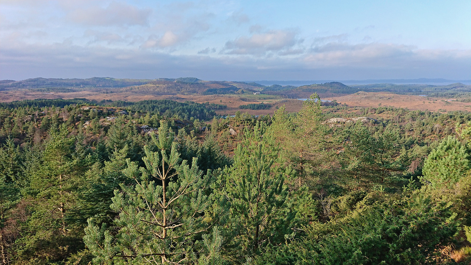
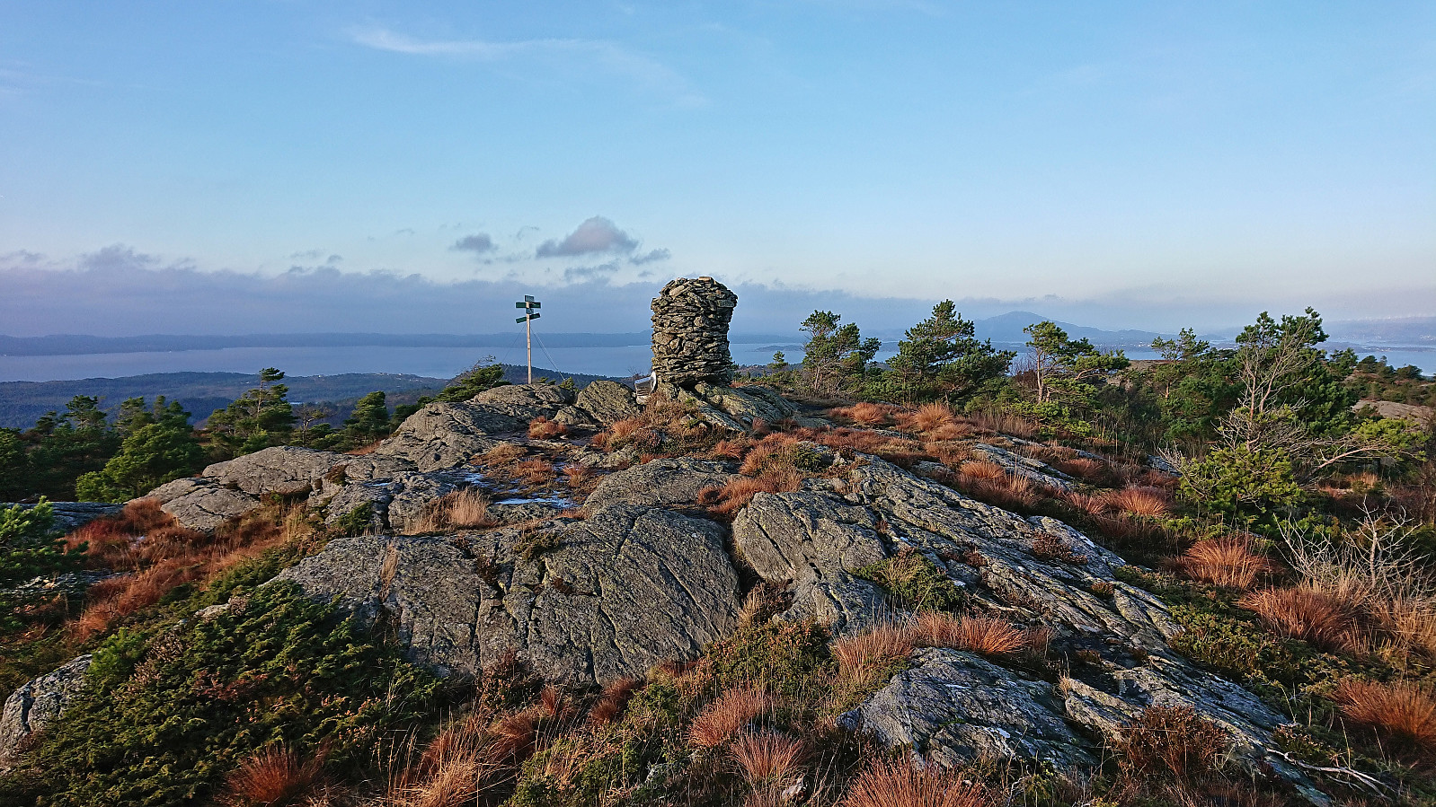
The trig maker at the summit that had been standing up in previous trip reports was now on the ground and the views were clearly diminishing due to the rapidly growing vegetation. However, the views were not quite gone yet and by moving around a bit I could still see far in all directions. When doing this I also spooked a dear that quickly ran away.
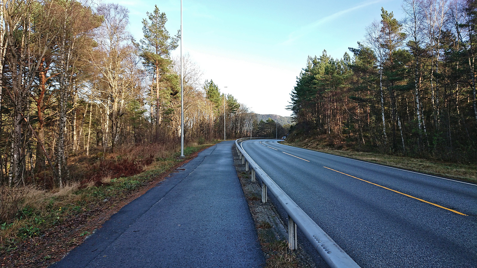
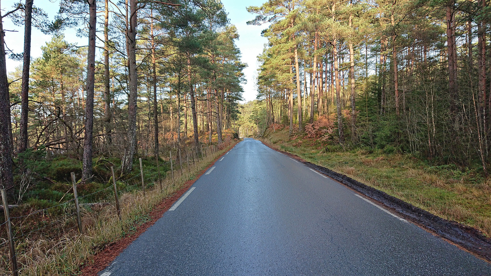
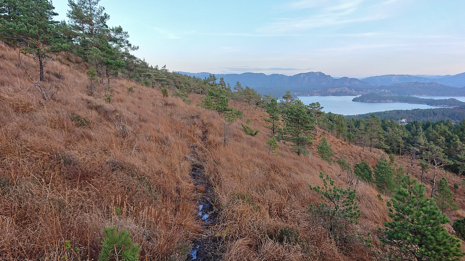
With the first summit in the bag, I returned to the gravel road (finding more red trail markers upon my descent, even via an alternative viewpoint southeast of the summit, still lost them before getting to the gate though) and took an alternative route to reconnect with the main road, which I then proceeded to follow northeast to Rød, still on a very nice cycling and walking path. Next, I followed the smaller road north towards the marked trailhead for Emberlandsnipen.
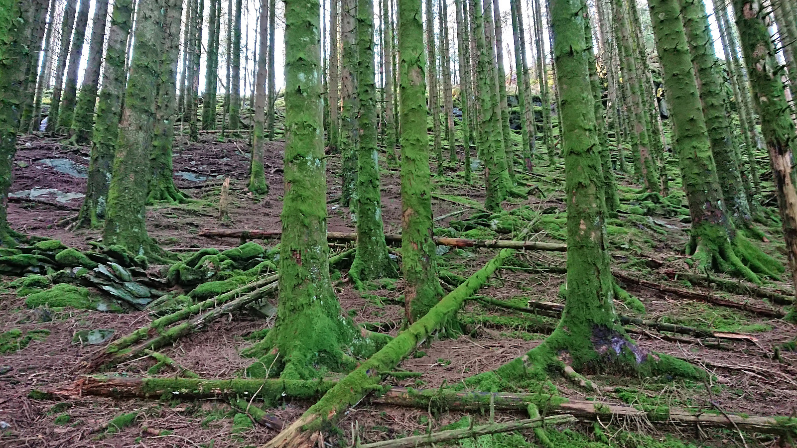
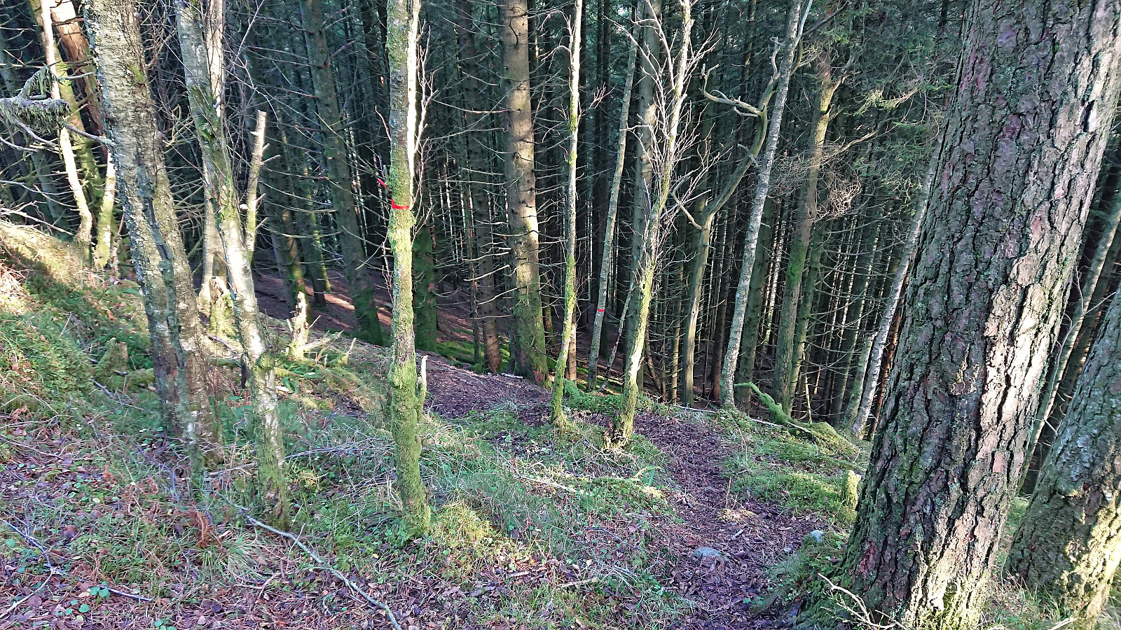
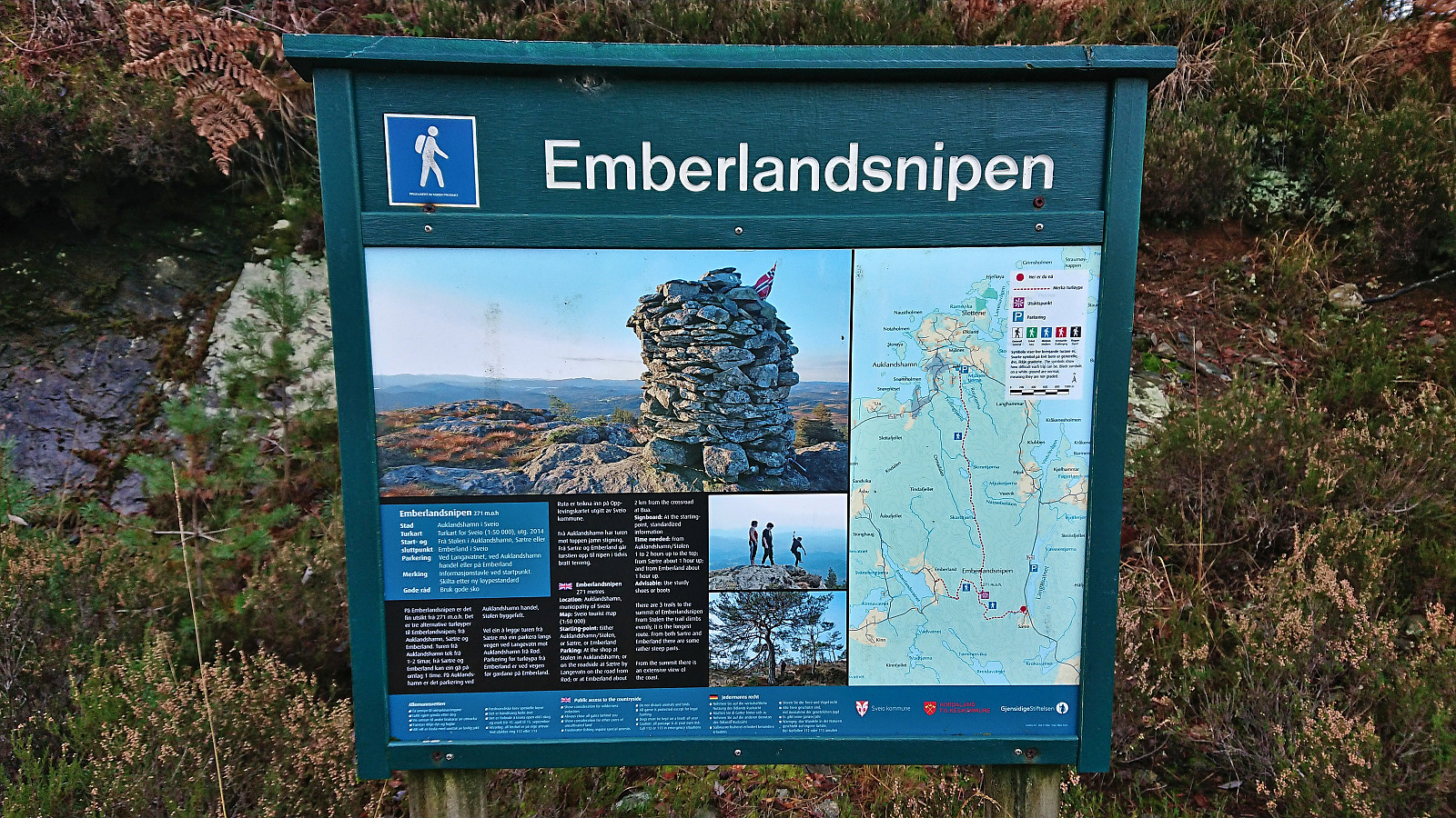
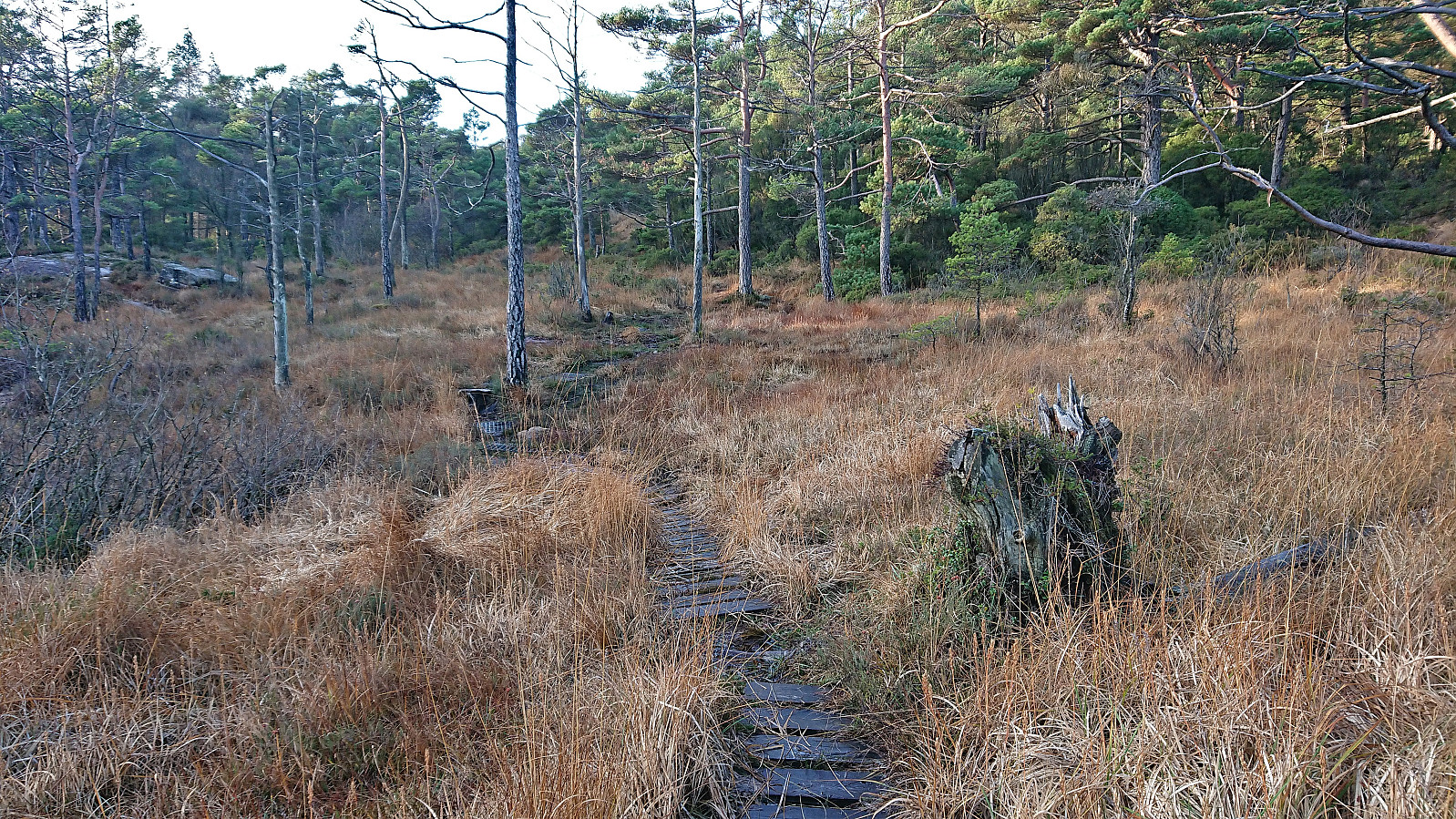
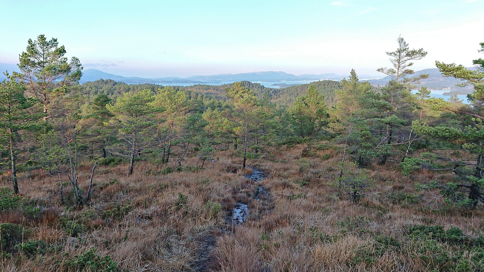
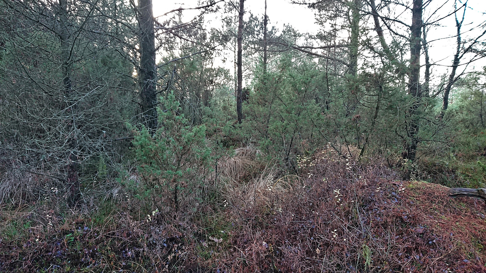
The trail to Emberlandsnipen was overall quite wet and muddy, although with some nicer sections along the way, and included a short steeper section towards the end bordering on light scrambling. At some point the trail had been marked with red pain, but of this there were generally only weak traces, however it was relatively straightforward to follow and did include a sign at the only point at which one might otherwise have taken the wrong turn.
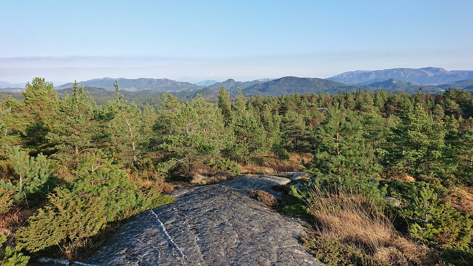
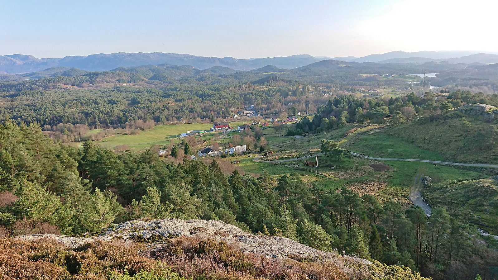
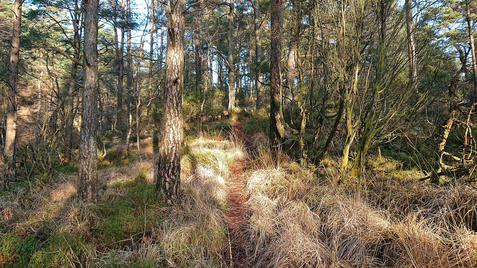
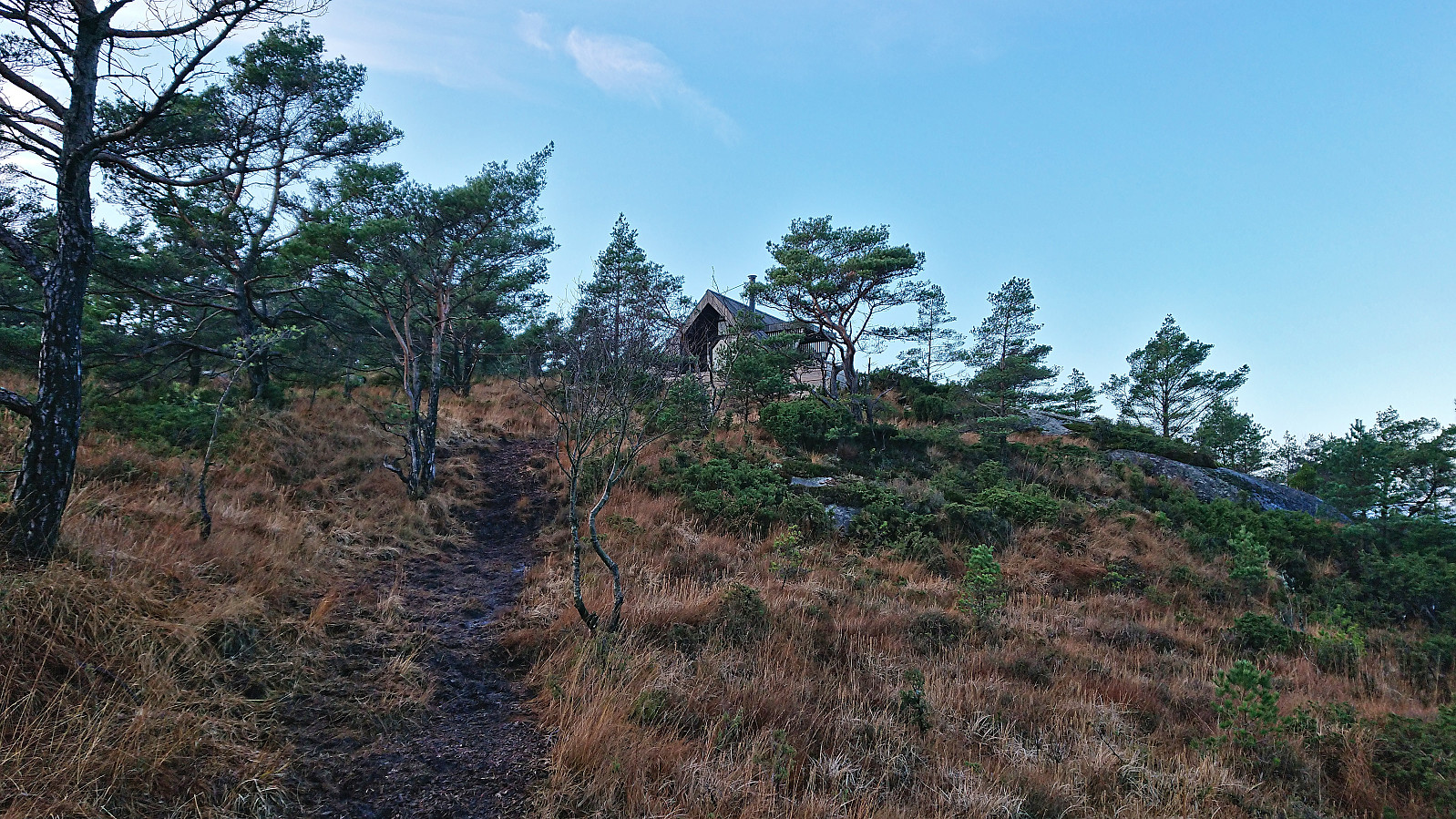
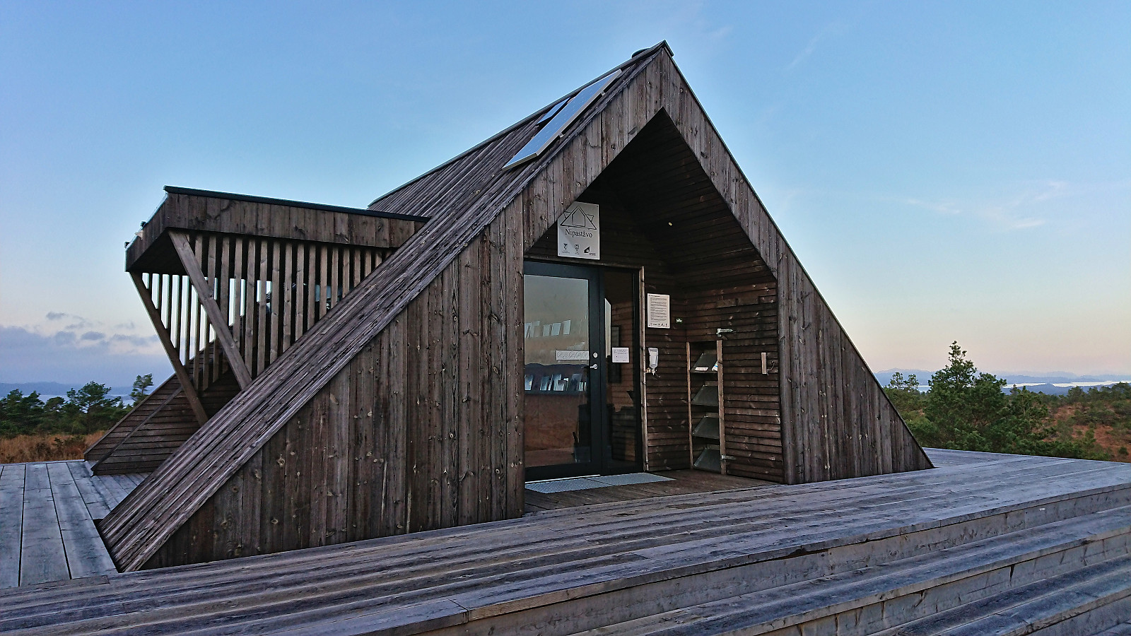
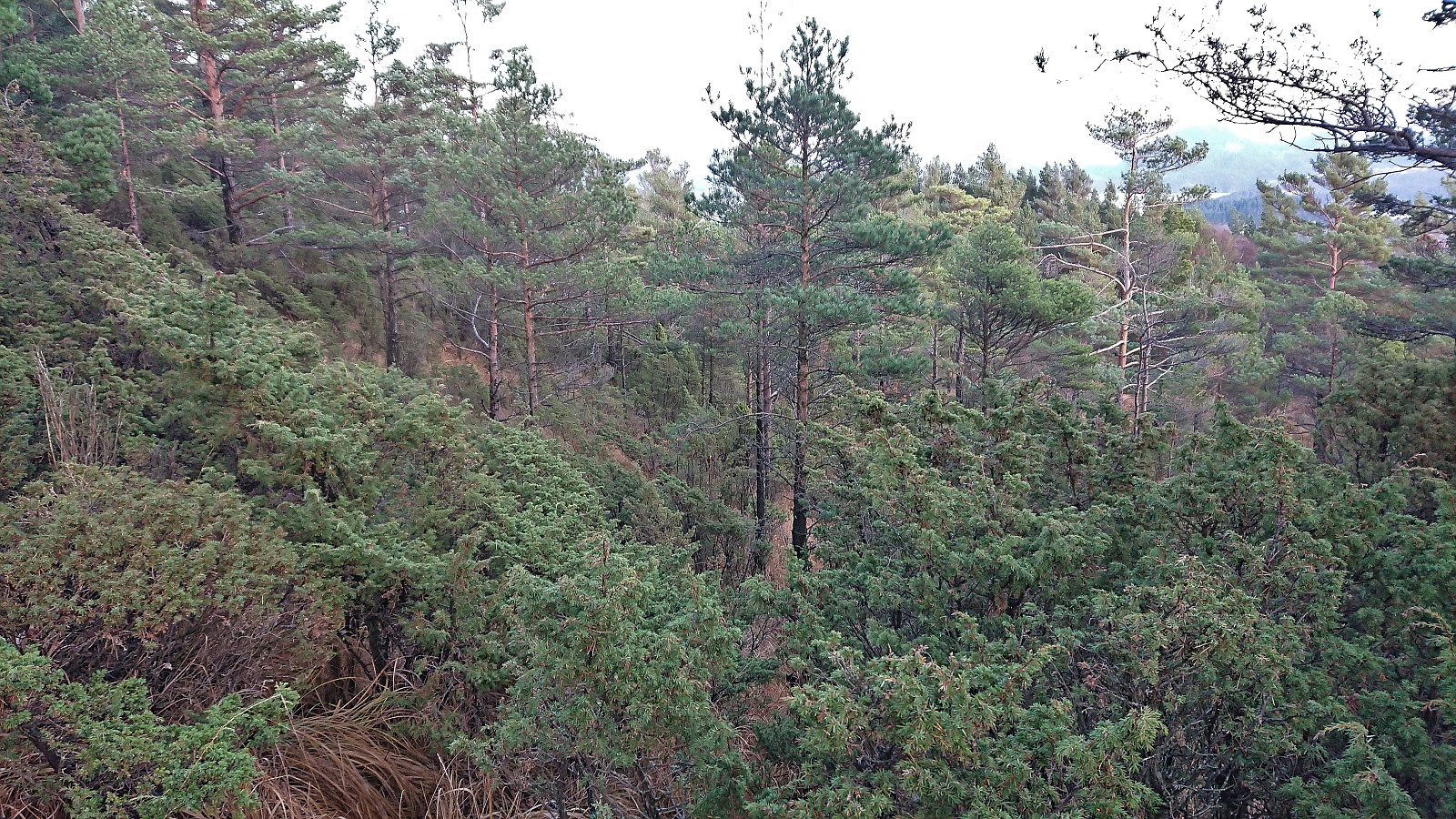
Emberlandsnipen provided excellent panoramic views, I however did not stay long as I wanted to have a go at also visiting Nipaståvo and still return to the main road at Rød in time for the bus back to Bergen. I therefore picked up the pace and continued north along a wet and muddy trail, mainly descending, and arrived at Nipaståvo in less than half an hour.
My initial plan had been to return the same way via Emberlandsnipen, but reascending the poor trail was not very tempting. Instead, I had a go at a trail heading east from Nipaståvo marked for Mjuko, hoping that it would take me to the road near Vestvik, as there was no Mjuko to be found on the map. In the worst case the trail would only take me to the minor summit called Mjuk, which was the only similar name I could find on the map, and I would have to find my own way from there.
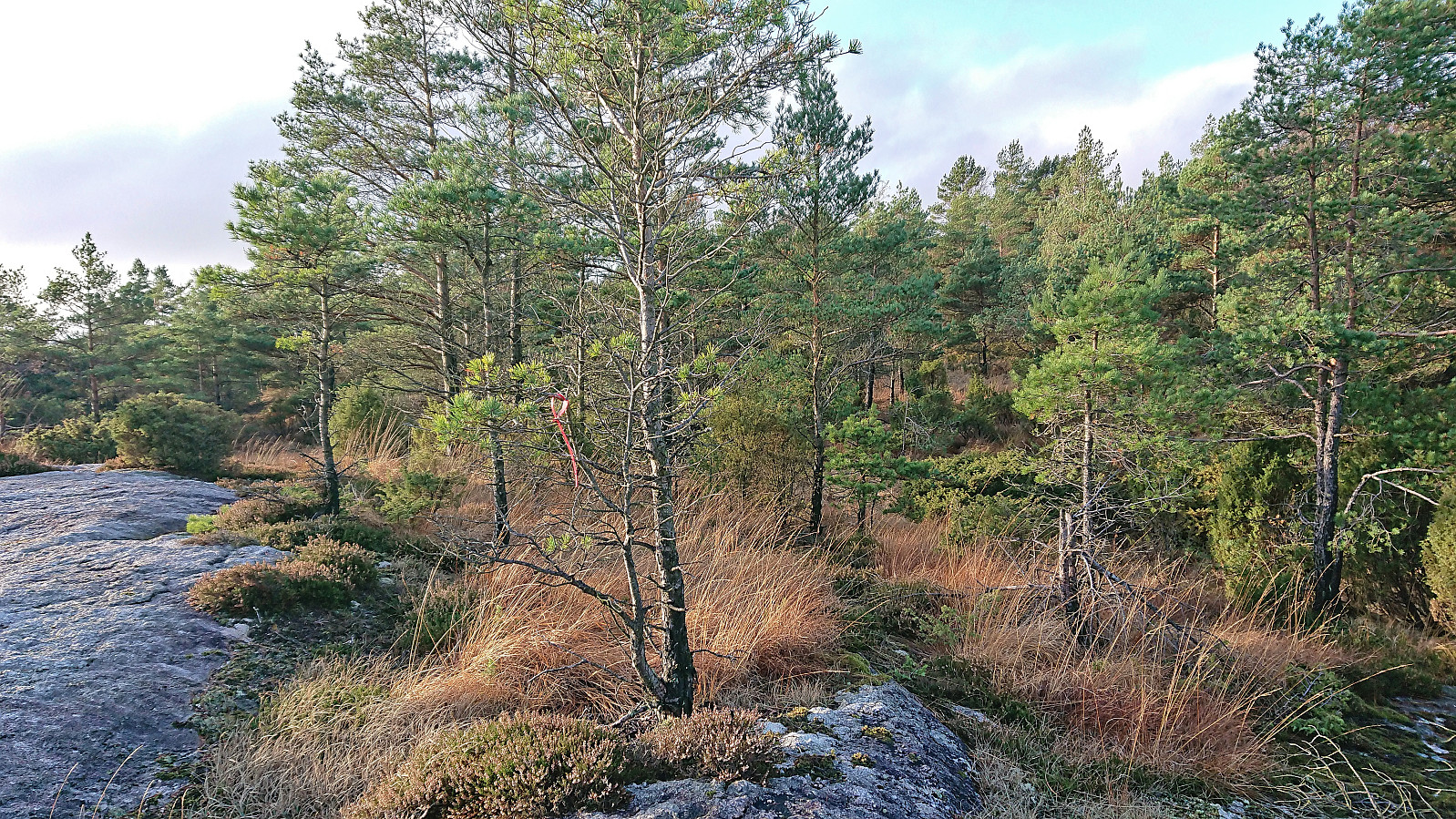
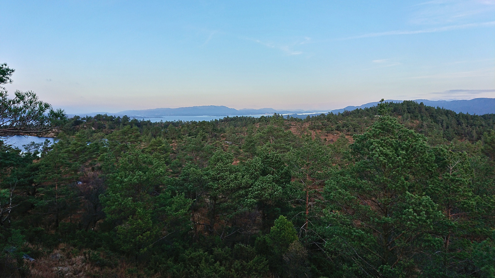
It started out well enough. The trail was even marked with red sticks, and I soon arrived south of Mjuk, where I made the short detour to the overall uninteresting summit with very limited views. Shortly after returning to the trail, the trail started ascending and heading north. Knowing that every meter in that direction would take me further away from the bus stop at Rød, and not knowing how far in the wrong direction it would take me, I abandoned the marked trail and instead headed off-trail more directly towards the road.
The map did indicate a weak trail in this direction, but of this I saw little to no trace and at best I was following a deer track. This route did not present any real challenges though and I soon arrived at the road, which I then followed south to Rød to conclude the hike at the bus stop by the main road.
In summary, a nice hike with great views from both summits and a rare occasion at which the walking in between the trails, i.e. on the sidewalks and along the roads, was maybe more enjoyable than the overall wet and muddy trails, especially for Emberlandsnipen and Nipaståvo.
Upon returning home, I found out that perhaps I should have stuck with the trail marked for Mjuko after all, as it would have taken me to “Eikeland kapell” around 700 meters north from where my off-trail route connected with the road. See more details here.


| Startzeitpunkt | 13.11.2022 12:08 (UTC+01:00) |
| Endzeitpunkt | 13.11.2022 16:25 (UTC+01:00) |
| Gesamtzeit | 4h 16min |
| Zeit in Bewegung | 4h 12min |
| Pausenzeit | 0h 4min |
| Gesamtschnitt | 4,5km/h |
| Bewegungsschnitt | 4,6km/h |
| Entfernung | 19,3km |
| Höhenmeter | 608m |


Benutzerkommentare