
Veten and Sandvikehorga (23.04.2022)

Geschrieben von hbar (Harald Barsnes)

| Startpunkt | Vetla Svartavatnet p-lomme (288m) |
|---|---|
| Endpunkt | Vetla Svartavatnet p-lomme (288m) |
| Tourcharakter | Bergtour |
| Tourlänge | 2h 54min |
| Entfernung | 5,9km |
| Höhenmeter | 461m |
| GPS |
|
| Besteigungen | Sandvikehorga (534m) | 23.04.2022 |
|---|---|---|
| Veten (475m) | 23.04.2022 | |
| Besuche anderer PBE | Vetla Svartavatnet p-lomme (288m) | 23.04.2022 |
Veten and Sandvikehorga

A visit to Varaldsøy had been on my list for a while. However, it is a bit tricky to get to with public transportation, so when petter (Petter Bjørstad) asked if I was interested in going hiking the upcoming weekend I suggested Varaldsøy as an option, and given that Petter had three summits yet to visit on the island he was quick to agree.
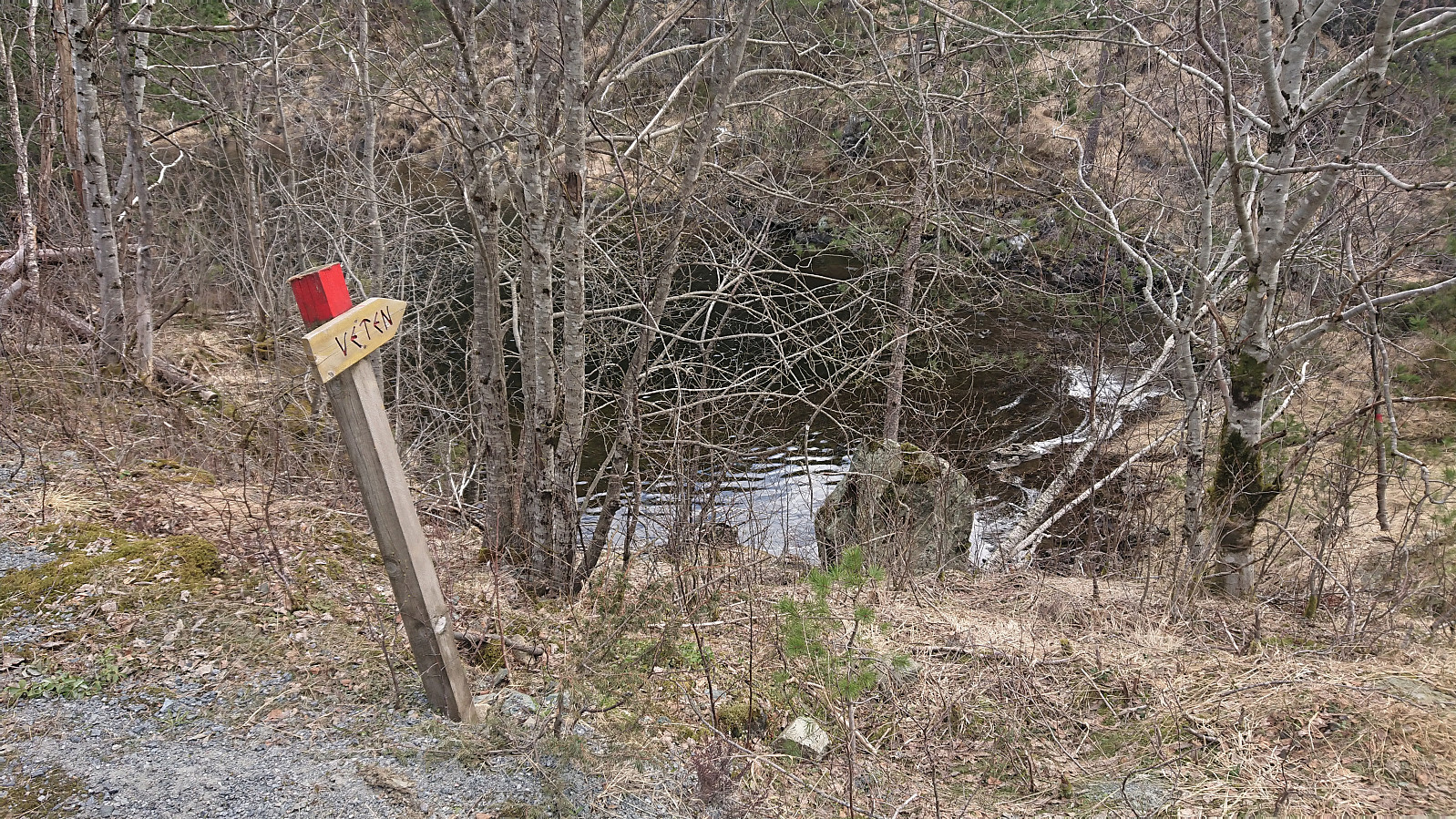
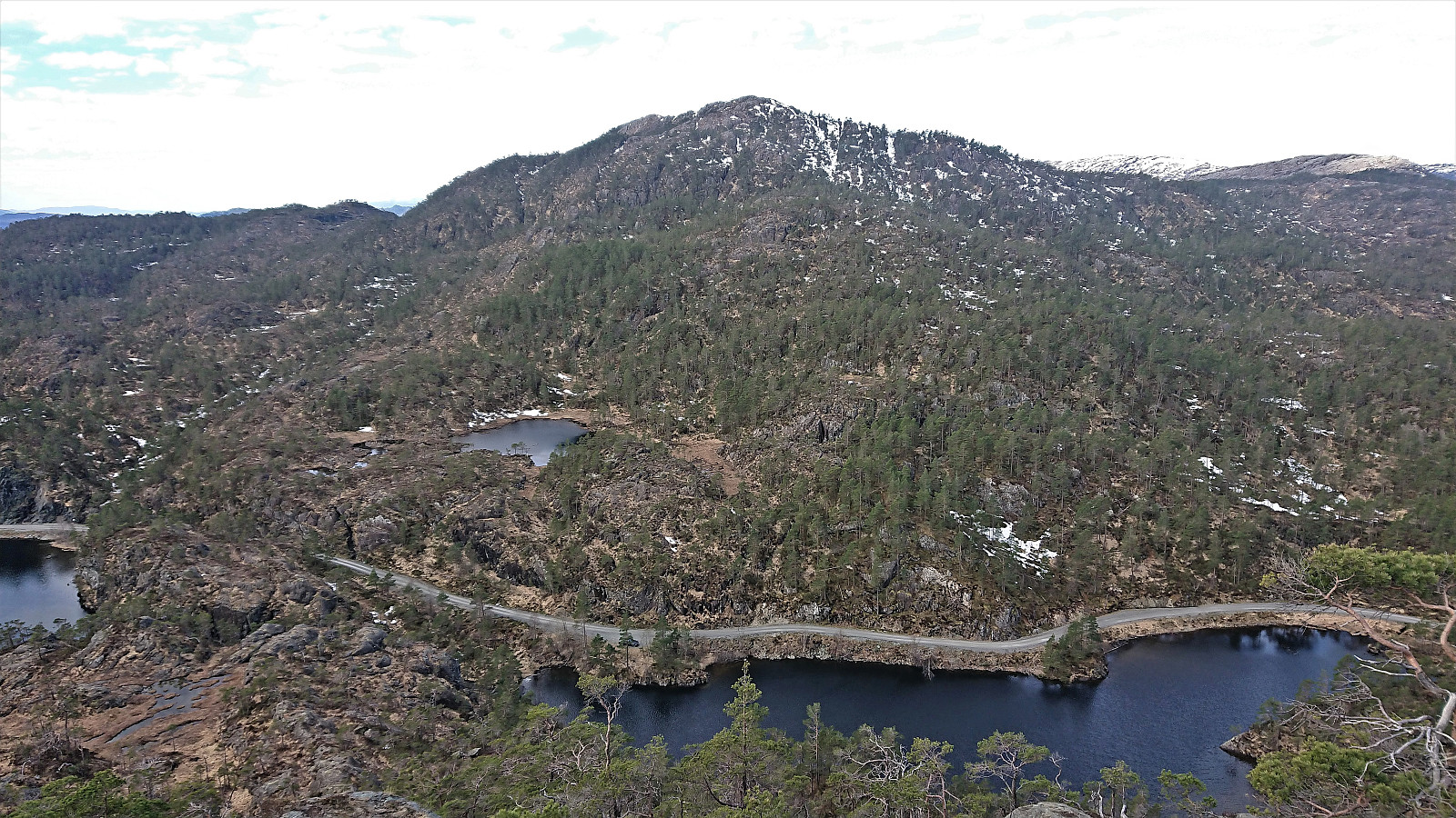
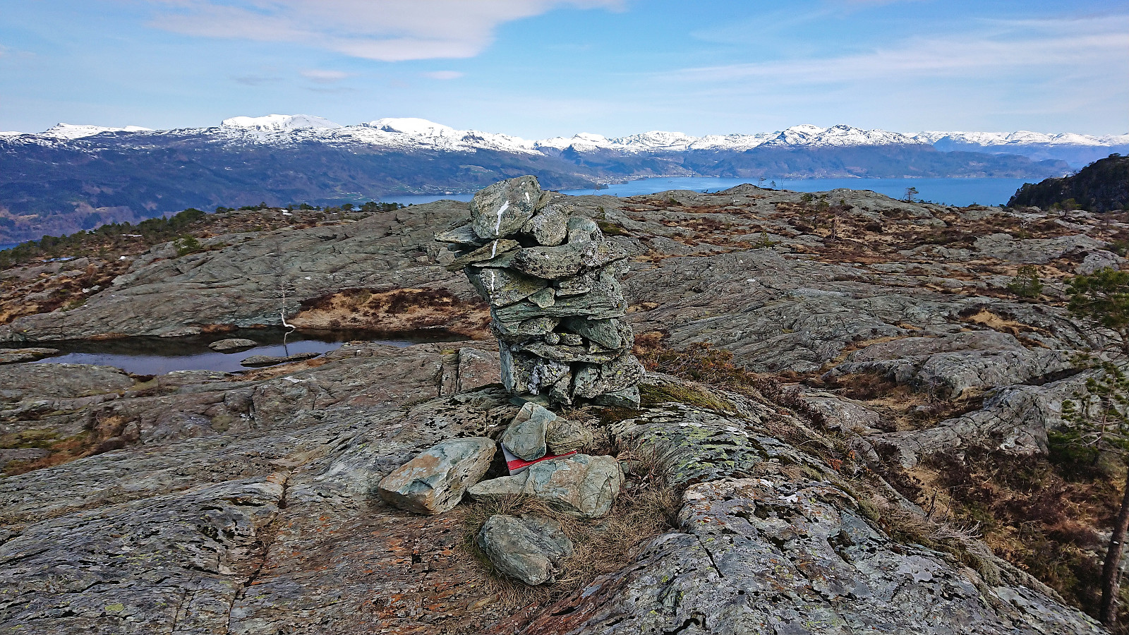
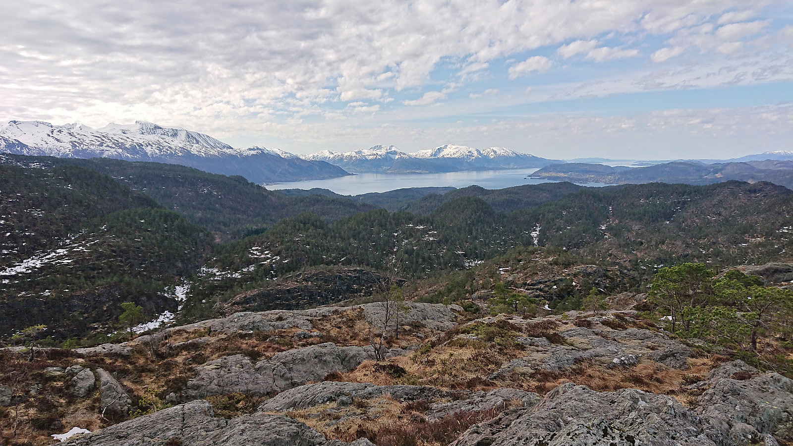
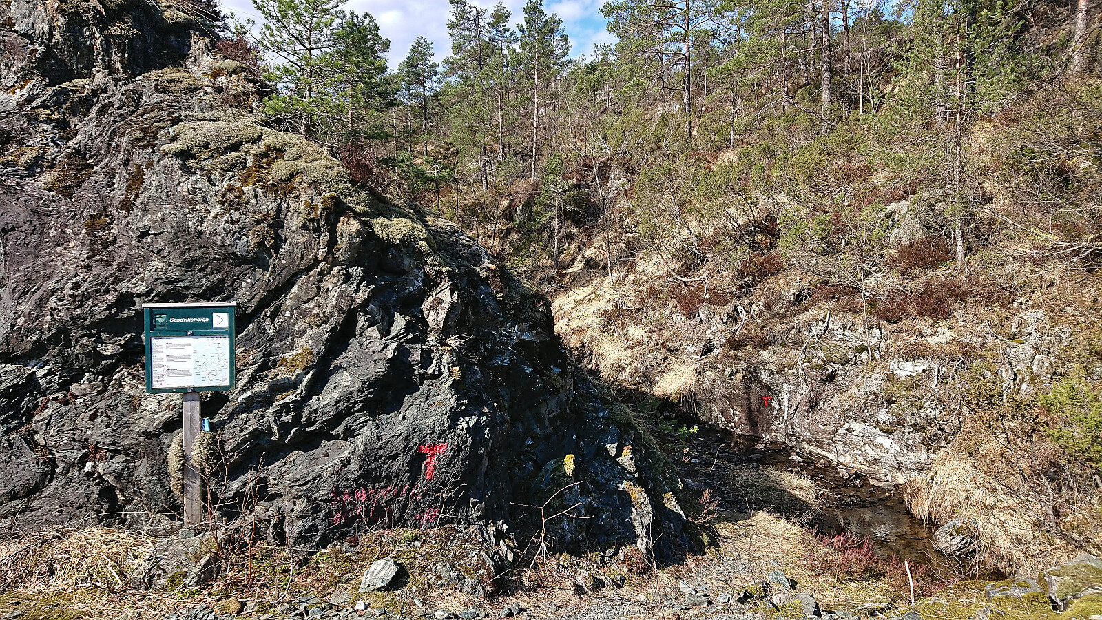
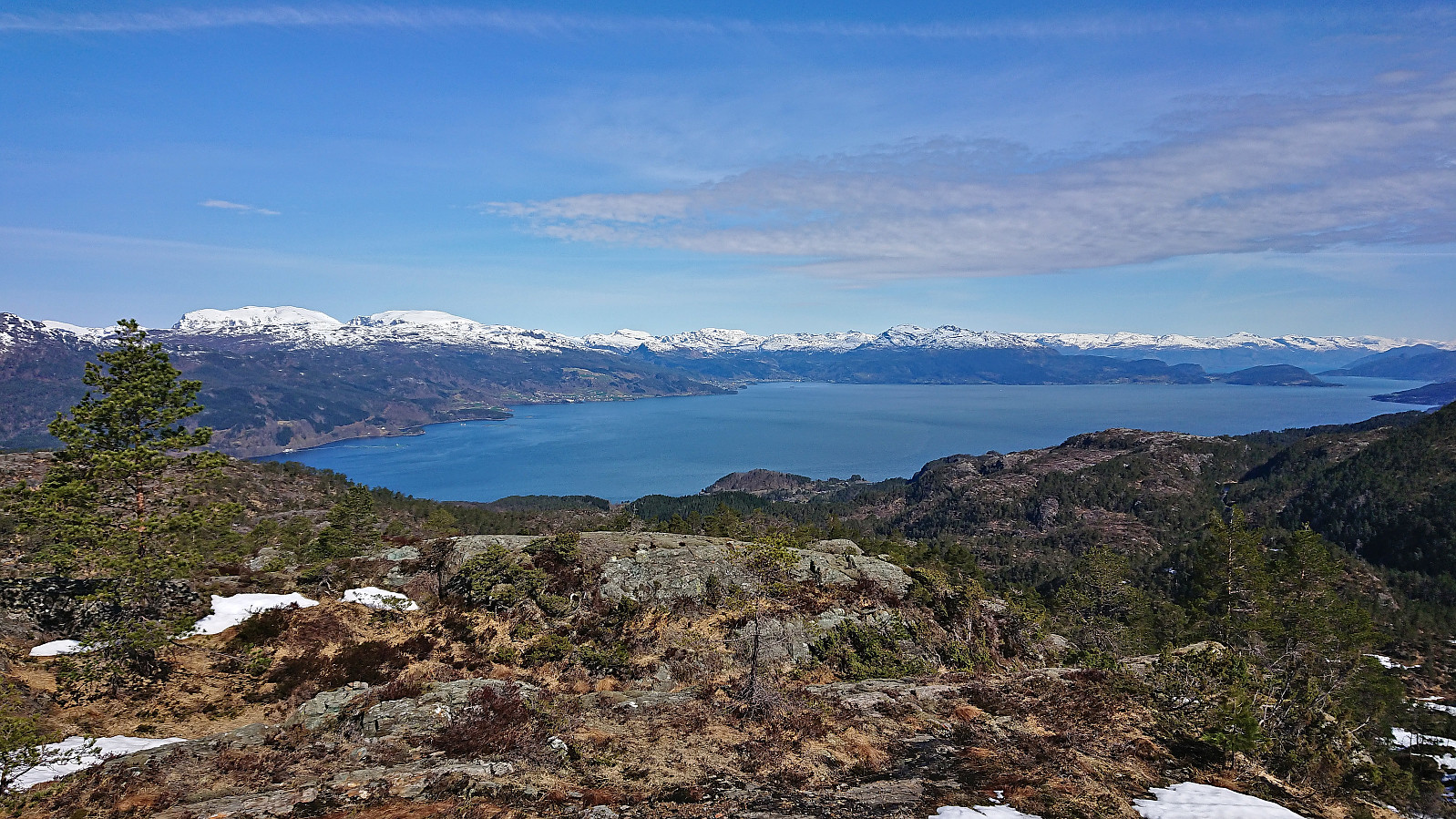
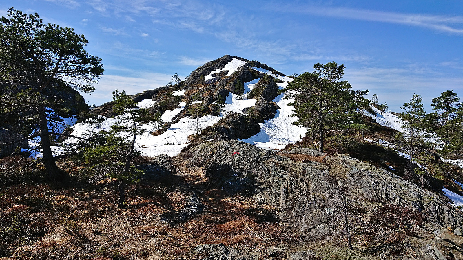
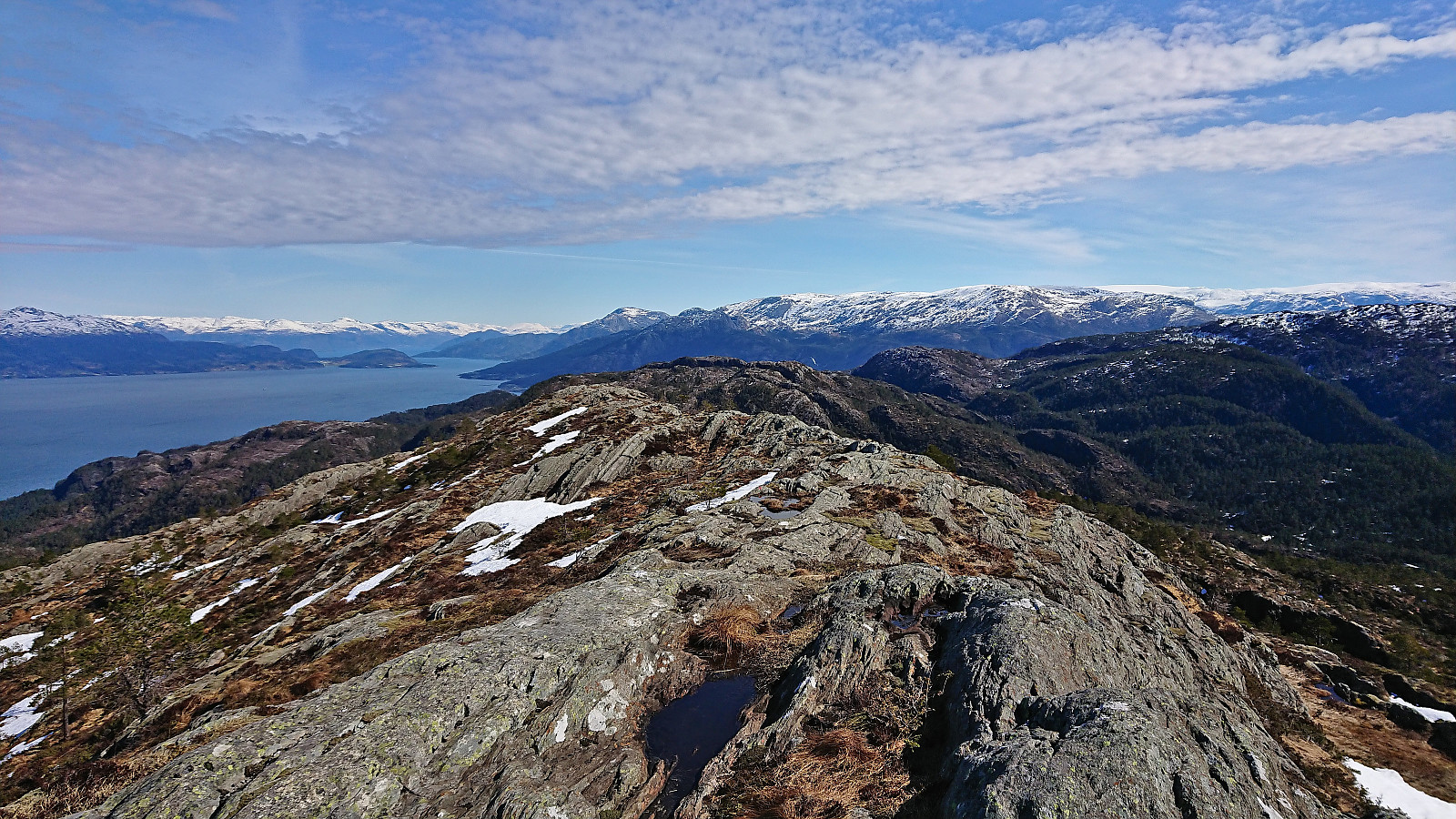
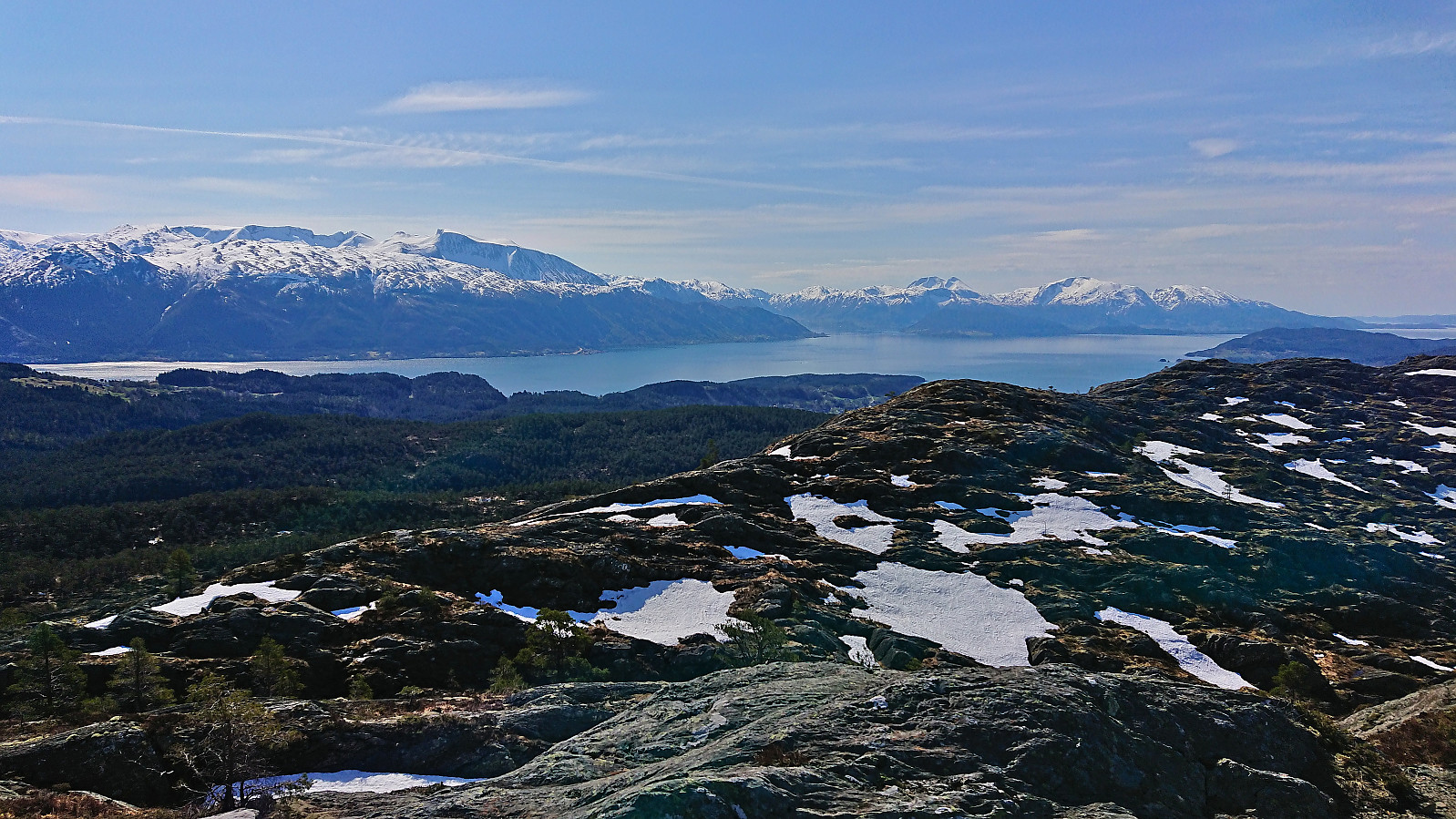
Upon arriving at Varaldsøy, we decided to start with Veten (which for some reason is called Vetan on PB) and Sandvikehorga, and thus drove to the small parking lot at the southern end of Vetla Svartavatnet. Here there was room for a couple of cars next to the gravel road and the marked trailhead was easily located. The very nice trail could be followed all the way to the summit without any real challenges except for the occasional very light scrambling. The summit provided excellent panoramic views only partly reduced by the sun not yet having fully emerged from behind the clouds.
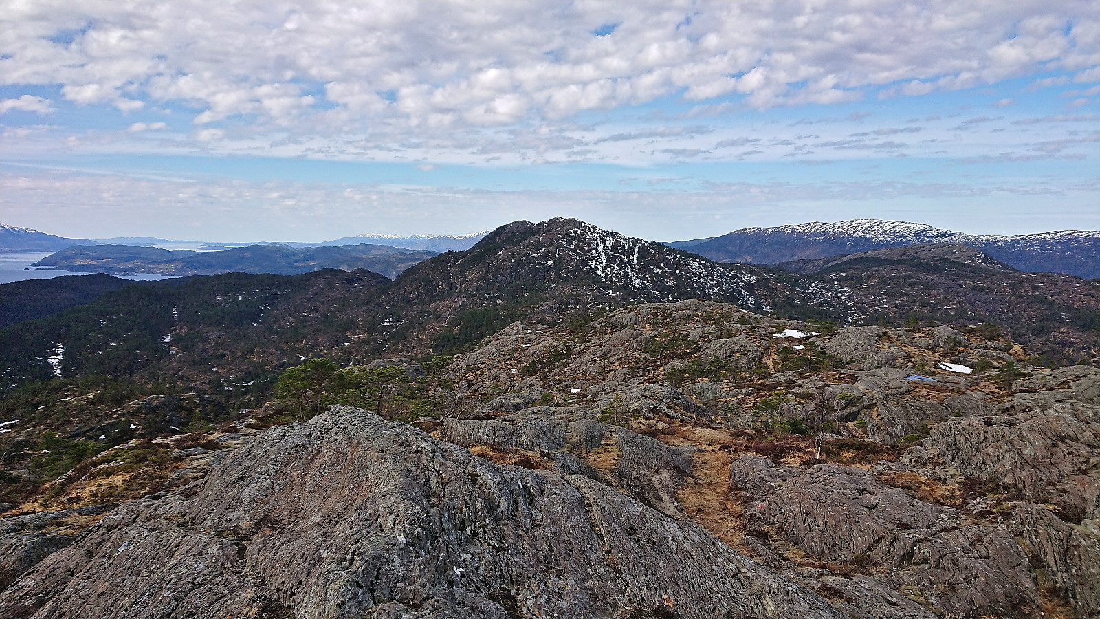
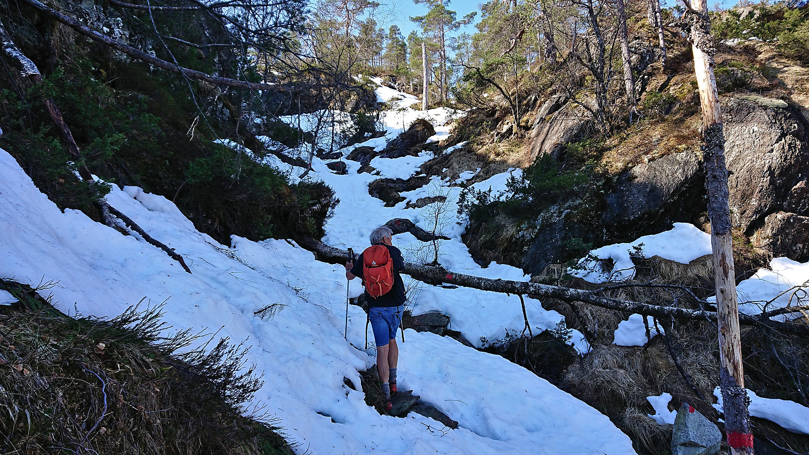
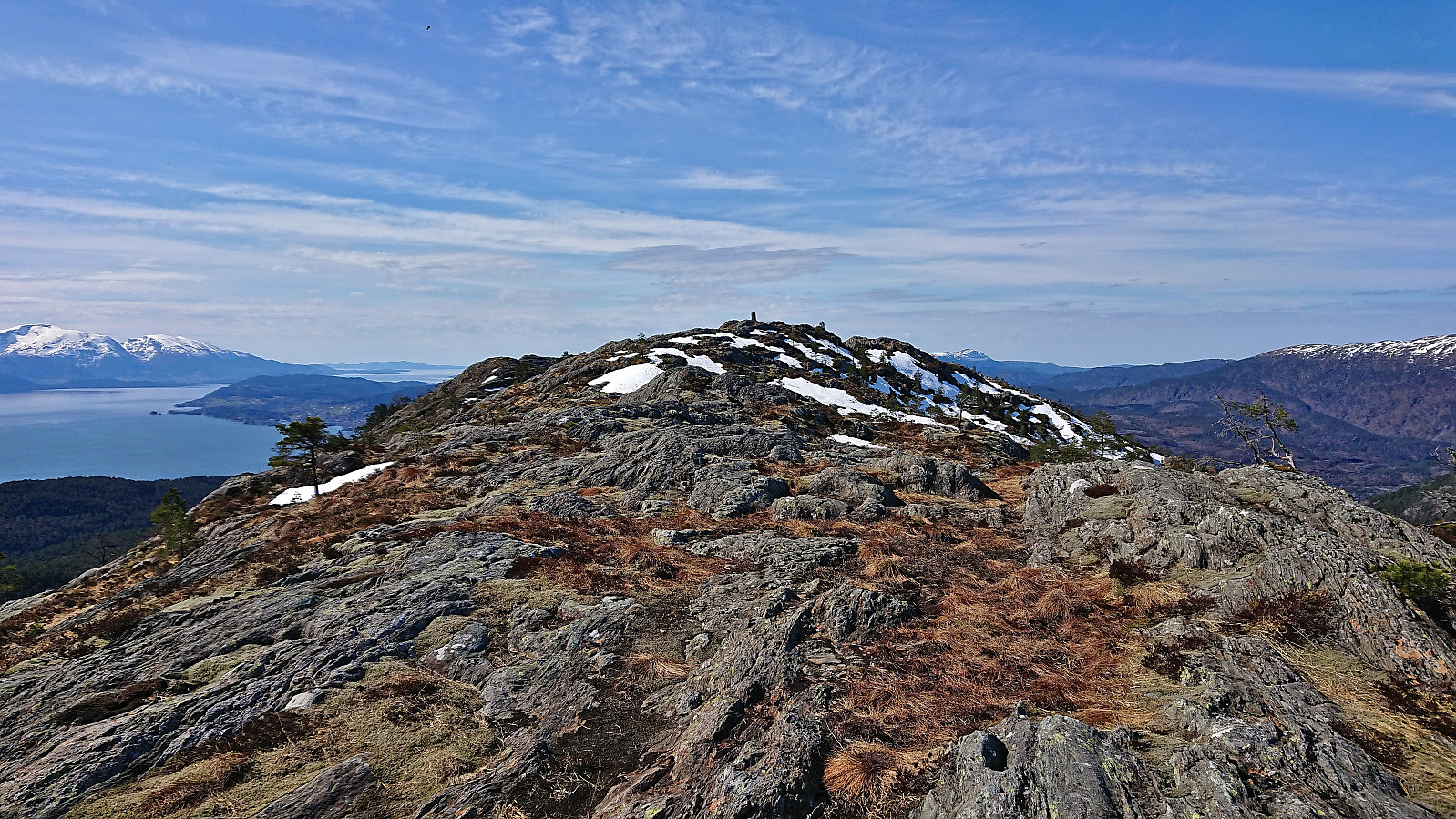
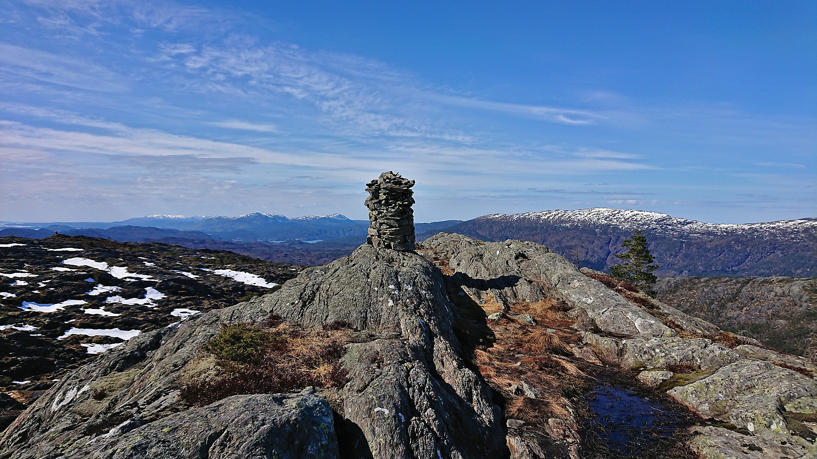
We descended along the same route and then took a short walk along the road to the marked trailhead for Sandvikehorga. The marked trail was generally easy to follow, but was overall much wetter than the trail to Veten. When the trail turned southwest towards the summit it was also covered by snow which made the ascent slightly more tricky, and we soon had to give up keeping out feet dry. The snow however pretty much disappeared as we approached the summit, which provided spectacular views in all directions. After a short break at the summit, we descended along the same route and returned to the car.
In summary, two excellent short hikes along marked trails that can both be very highly recommended. Probably best to wait with Sandvikehorga until all of the snow has melted though.
| Startzeitpunkt | 23.04.2022 09:59 (UTC+01:00 SZ) |
| Endzeitpunkt | 23.04.2022 12:53 (UTC+01:00 SZ) |
| Gesamtzeit | 2h 54min |
| Zeit in Bewegung | 2h 20min |
| Pausenzeit | 0h 34min |
| Gesamtschnitt | 2,0km/h |
| Bewegungsschnitt | 2,5km/h |
| Entfernung | 5,9km |
| Höhenmeter | 460m |


Benutzerkommentare