
Rødsaksla (03.08.2021)

Geschrieben von hbar (Harald Barsnes)

| Startpunkt | Rød (46m) |
|---|---|
| Endpunkt | Salbu (24m) |
| Tourcharakter | Bergtour |
| Tourlänge | 1h 43min |
| Entfernung | 4,3km |
| Höhenmeter | 181m |
| GPS |
|
| Besteigungen | Rødsaksla (184m) | 03.08.2021 |
|---|
Rødsaksla
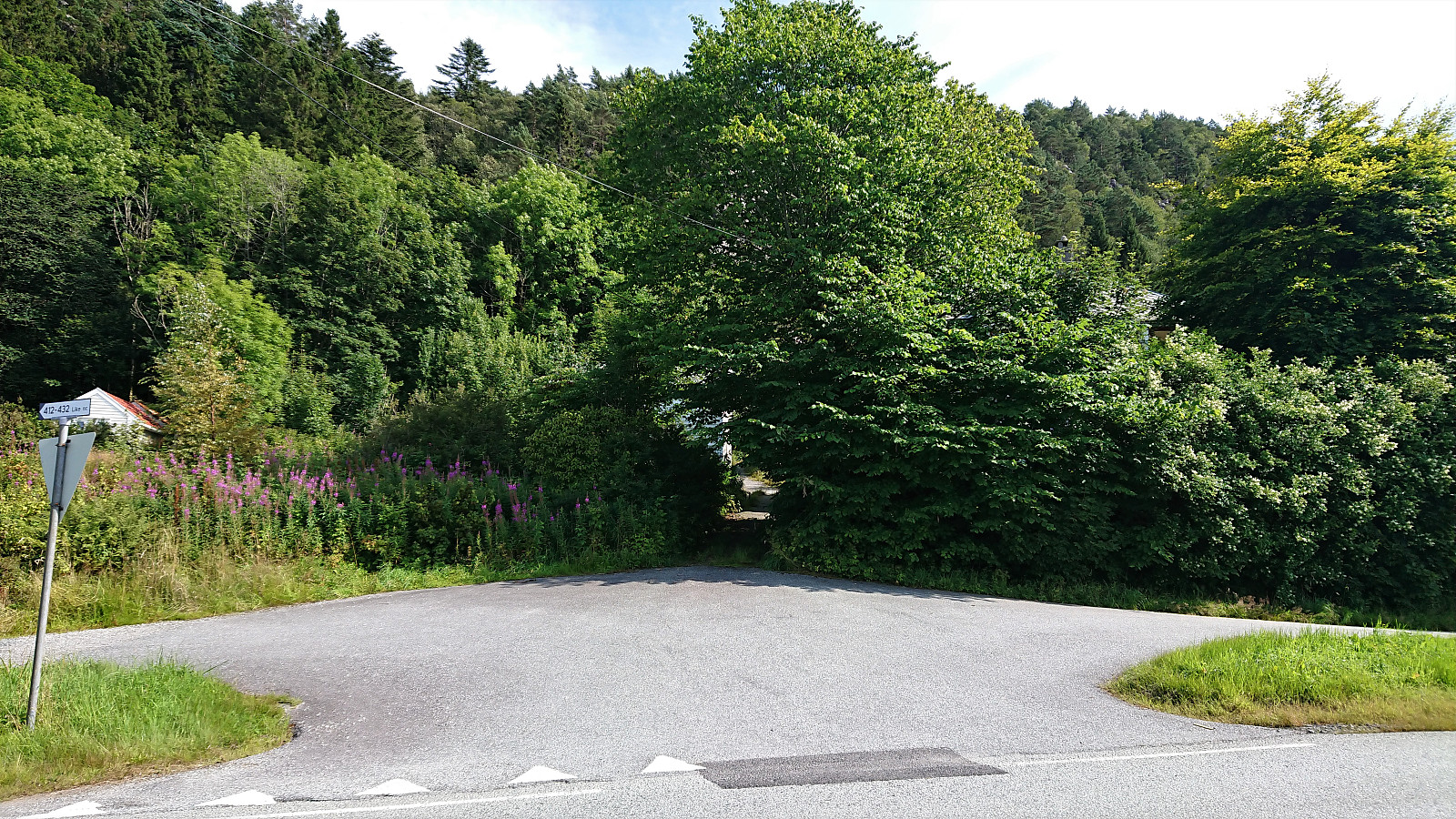
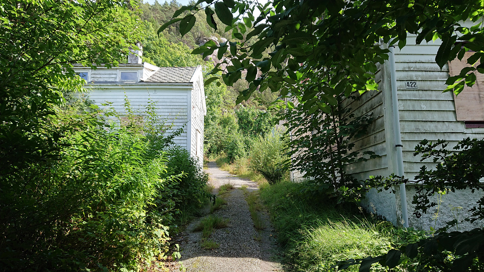
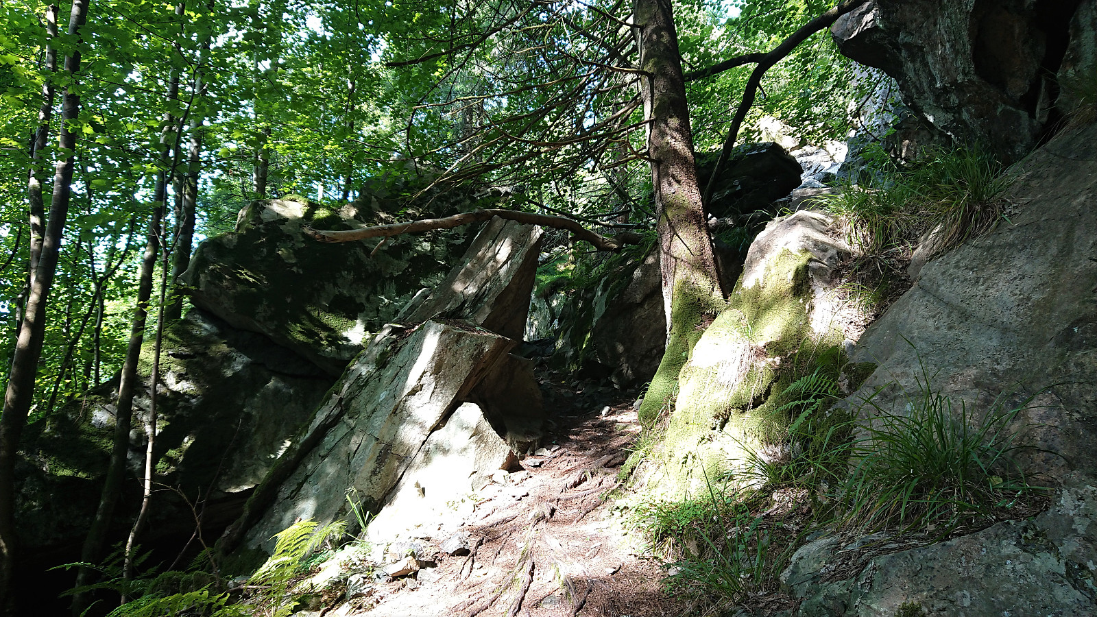
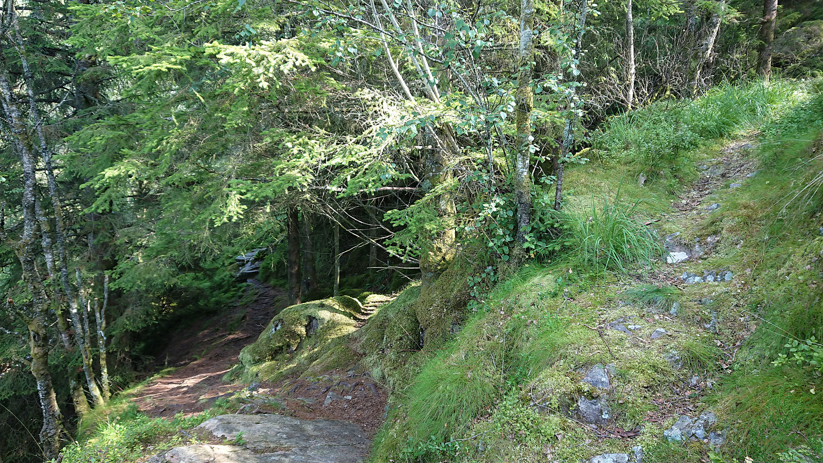
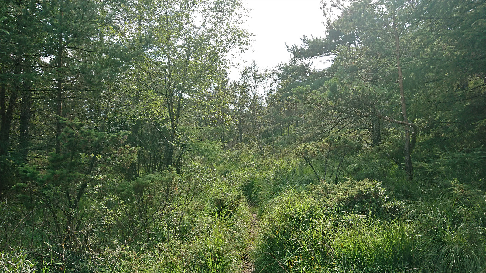
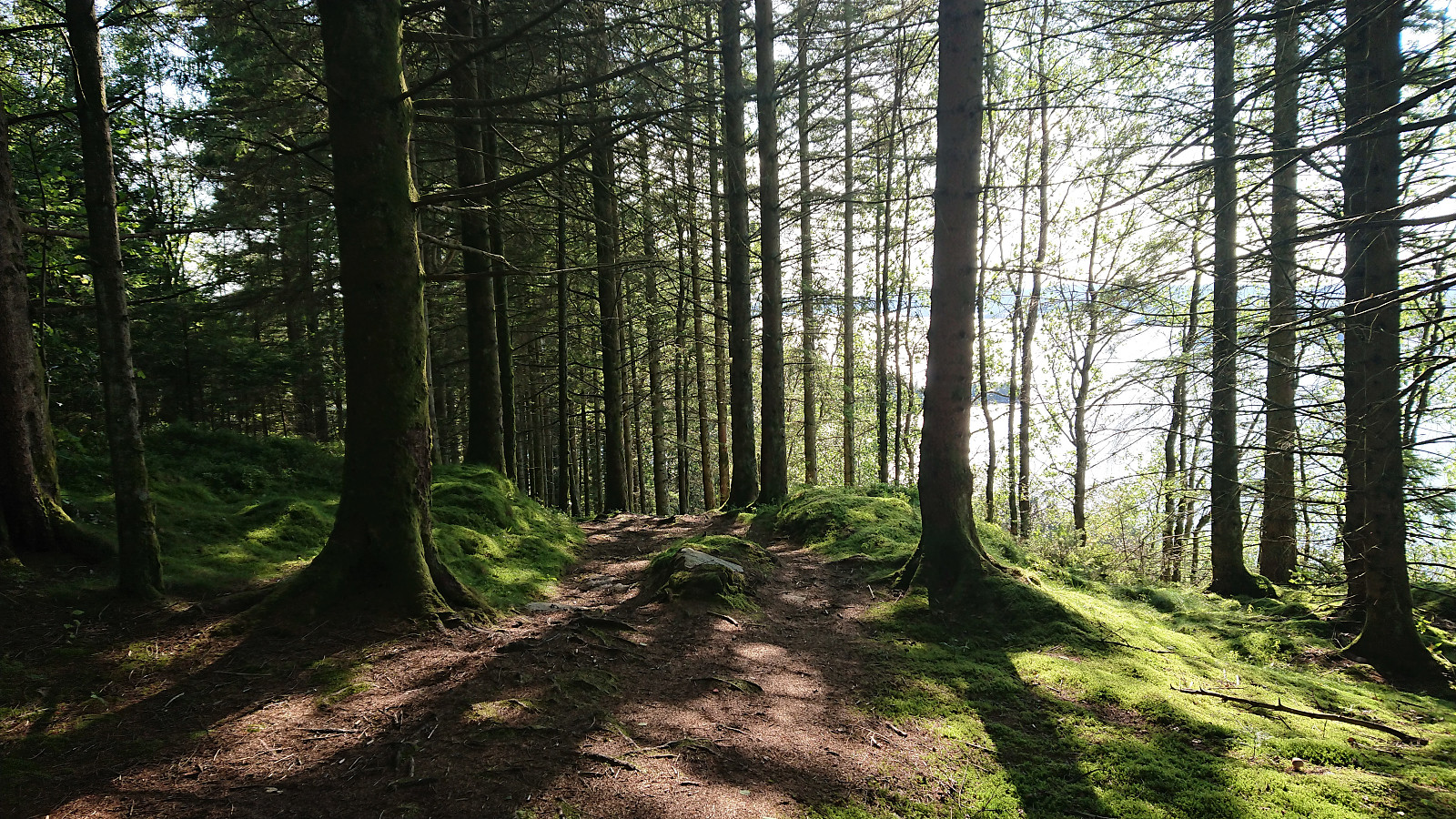
Afternoon hike with the goal of visiting Rødsaksla, a minor summit on the Alle topper i Bergen list. I started by taking the bus to Rød, where I for some reason thought that I ought to get off at the bus stop referred to as "Rød nord, Bergen", while the correct one would have been "Rød sør, Bergen" which is located right next to the trailhead. But after a short 500 meters walk along the road I arrived at the unmarked trailhead discovered by knutsverre (Knut S. Andersen) and Astrid (Astrid S. Andersen) on their hike to Rødsaksla a couple of months earlier.
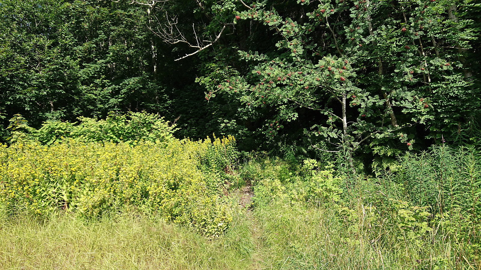
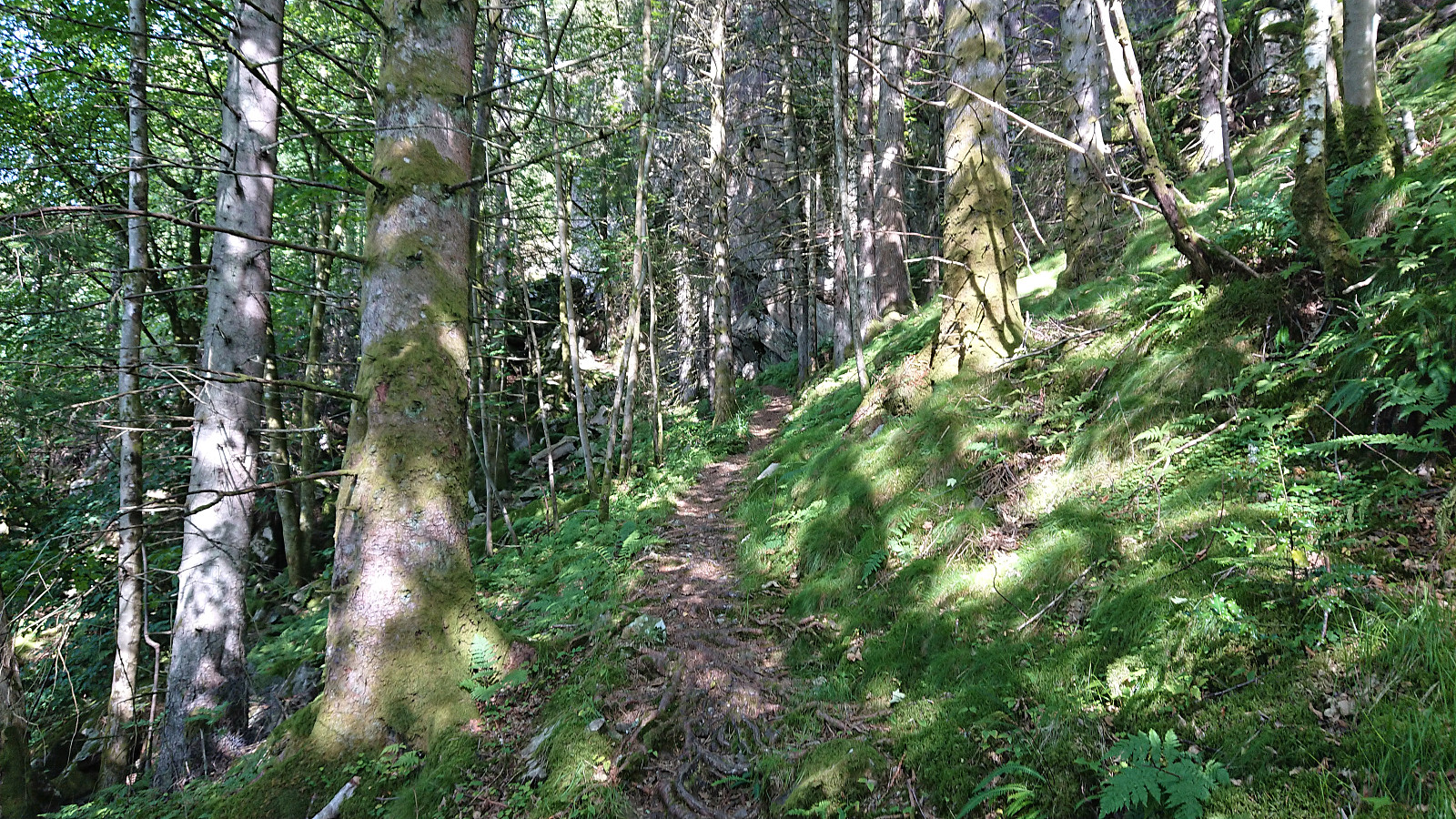
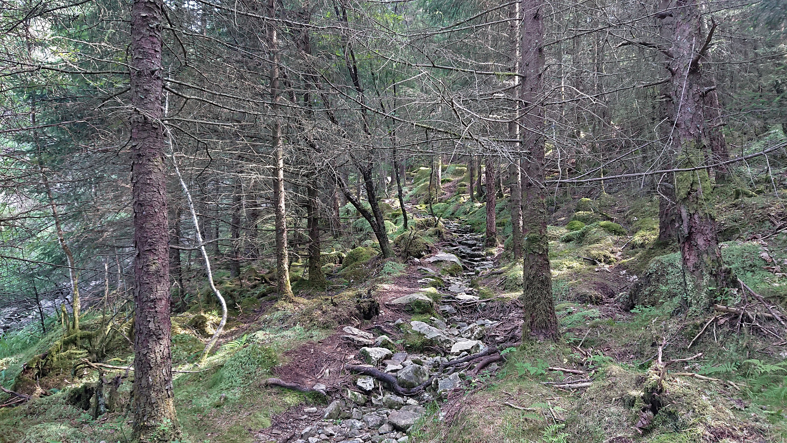
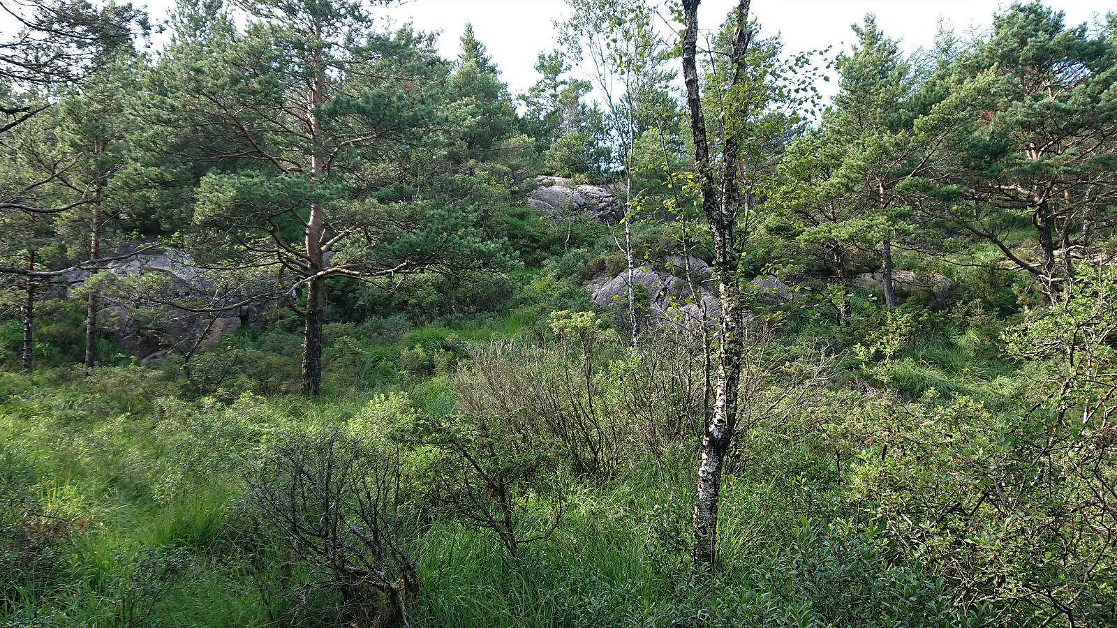
This resulted in it being straightforward to get pretty close to the summit, even though the trail turned rather weak towards the end. (Note that as the GPS track indicates, I also made a short attempt at a more direct shortcut by following an alternative trail early on. But decided to return to the main trail when the alternative trail ended in a wet area. However, if picked up at the other side it may still be a route to the summit.) When the weak trail started descending, I simply headed off-trail in the direction of the summit, partially following what I think was most likely a deer track.
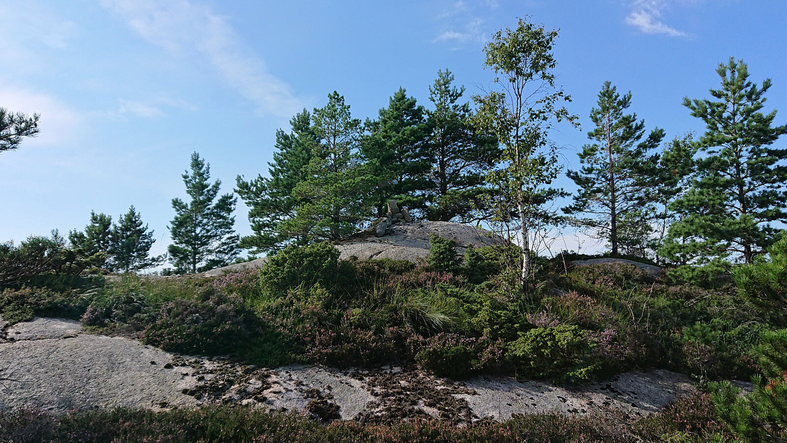
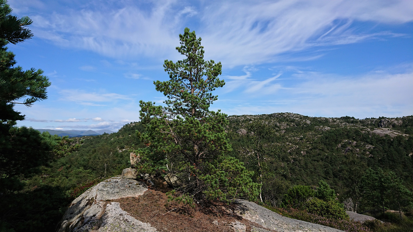
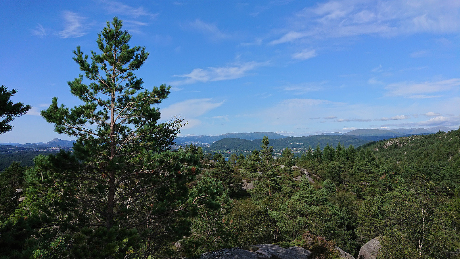
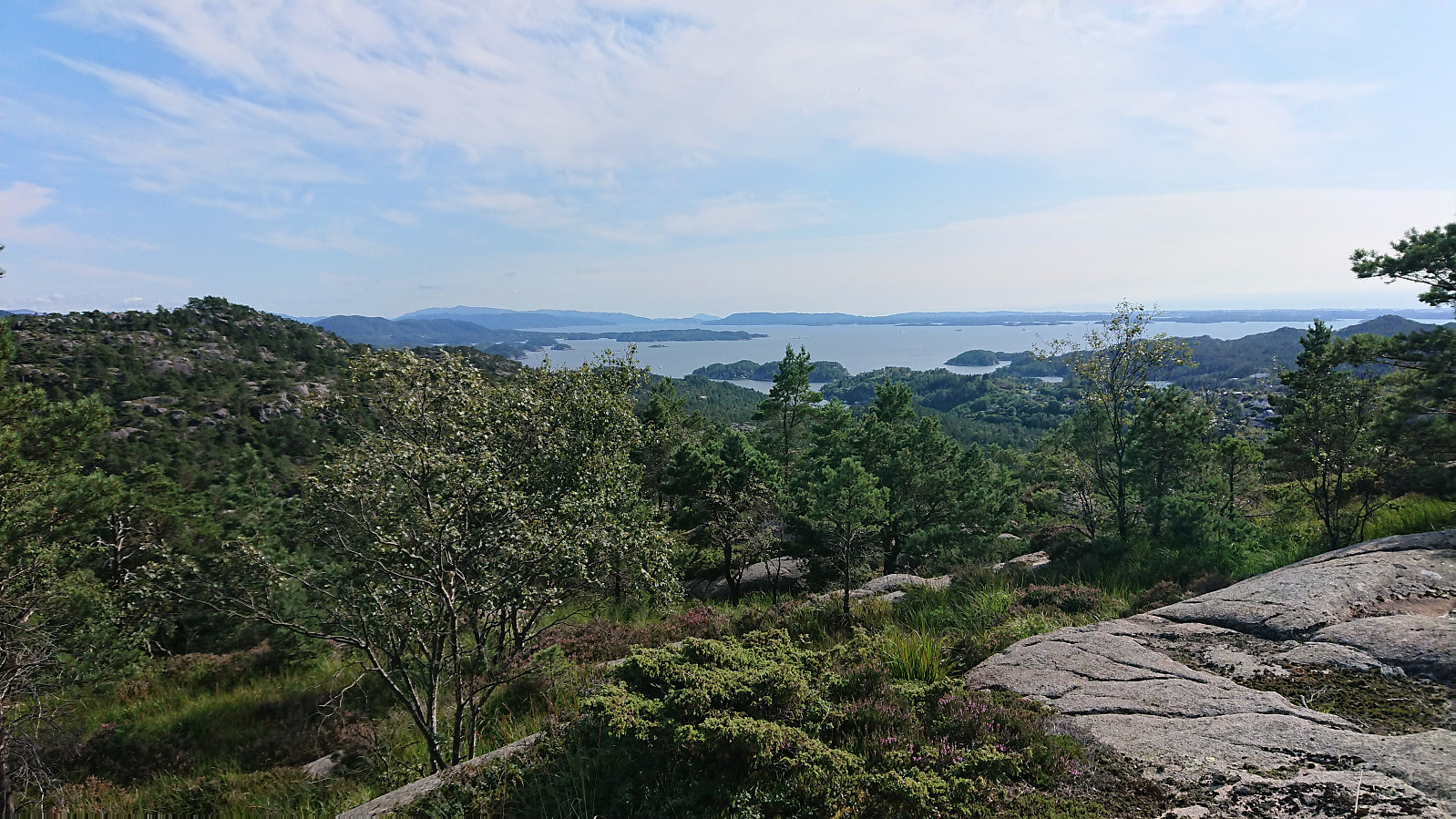
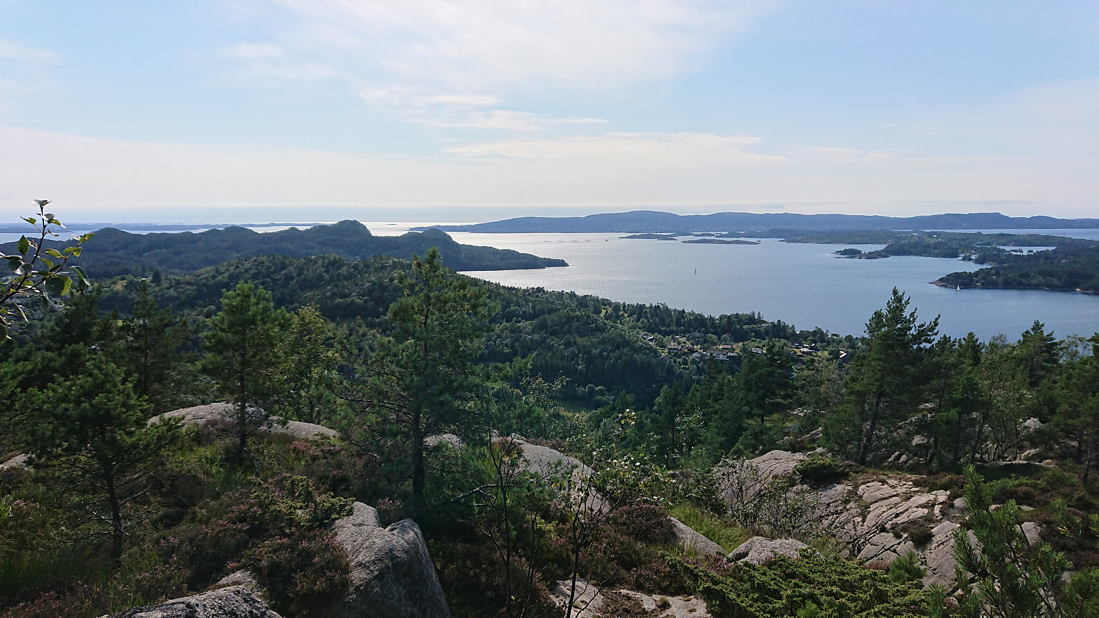
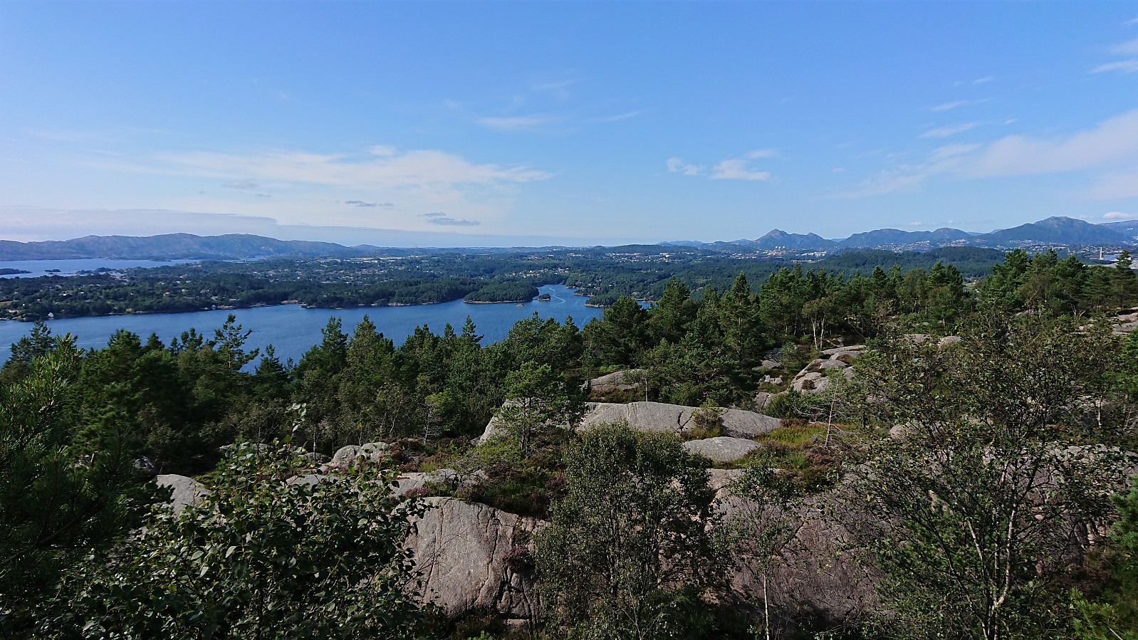
In the end, the summit was reached without any real difficulties and provided much better views than expected, and even had its own cairn. Pretty sure this peak does not see many visitors though given the reduced accessibility towards the end and the fact that similar or better views can more easily be obtained from other peaks in the area.
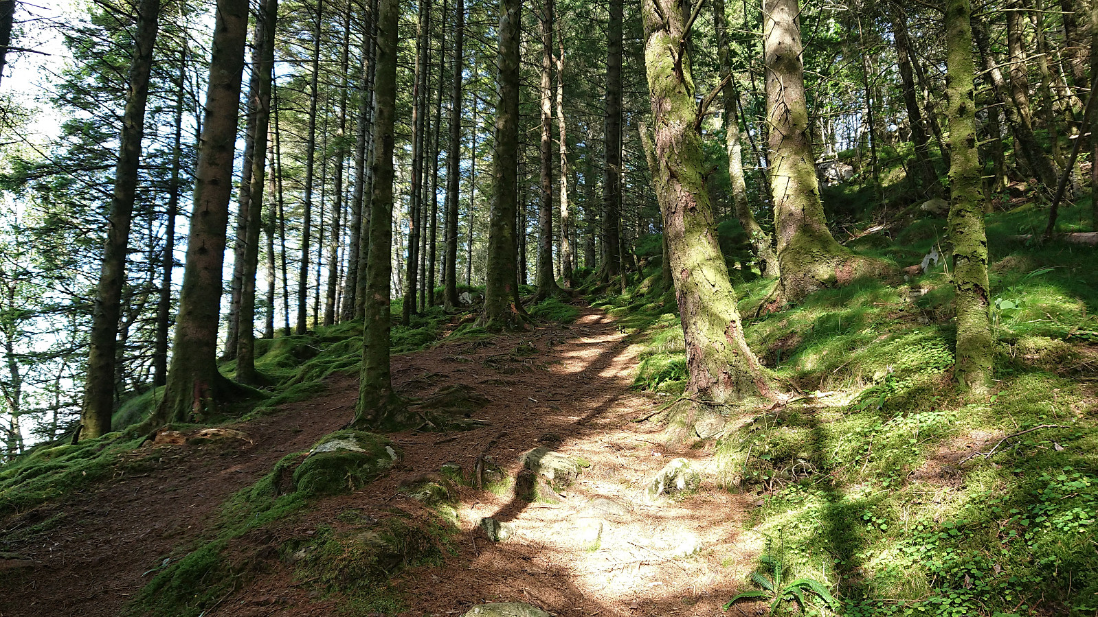
After a break at the summit enjoying the views, I returned along pretty much the same route. I was however a bit too early for the bus at "Rød sør, Bergen", and ended up walking to Salbu before hopping on the bus back home. Overall, a hike that was more or less as expected, with the nice trail at the start being the highlight.
| Startzeitpunkt | 03.08.2021 15:59 (UTC+01:00 SZ) |
| Endzeitpunkt | 03.08.2021 17:42 (UTC+01:00 SZ) |
| Gesamtzeit | 1h 43min |
| Zeit in Bewegung | 1h 25min |
| Pausenzeit | 0h 18min |
| Gesamtschnitt | 2,5km/h |
| Bewegungsschnitt | 3,0km/h |
| Entfernung | 4,3km |
| Höhenmeter | 181m |


Benutzerkommentare