
To Mount Svarttinden and Mount Jamtetinden (05.06.2021)

Geschrieben von Solan (Atle Solholm)

| Startpunkt | Lundeplassen (170m) |
|---|---|
| Endpunkt | Lundeplassen (170m) |
| Tourcharakter | Wanderung |
| Tourlänge | 4h 32min |
| Entfernung | 12,8km |
| Höhenmeter | 1.201m |
| GPS |
|
| Besteigungen | Jamtetind (1.101m) | 05.06.2021 |
|---|---|---|
| Svarttinden (1.094m) | 05.06.2021 | |
| Besuche anderer PBE | Skardselva badeplass (180m) | 05.06.2021 13:16 |
| Lundeplassen parkering (170m) | 05.06.2021 13:16 |
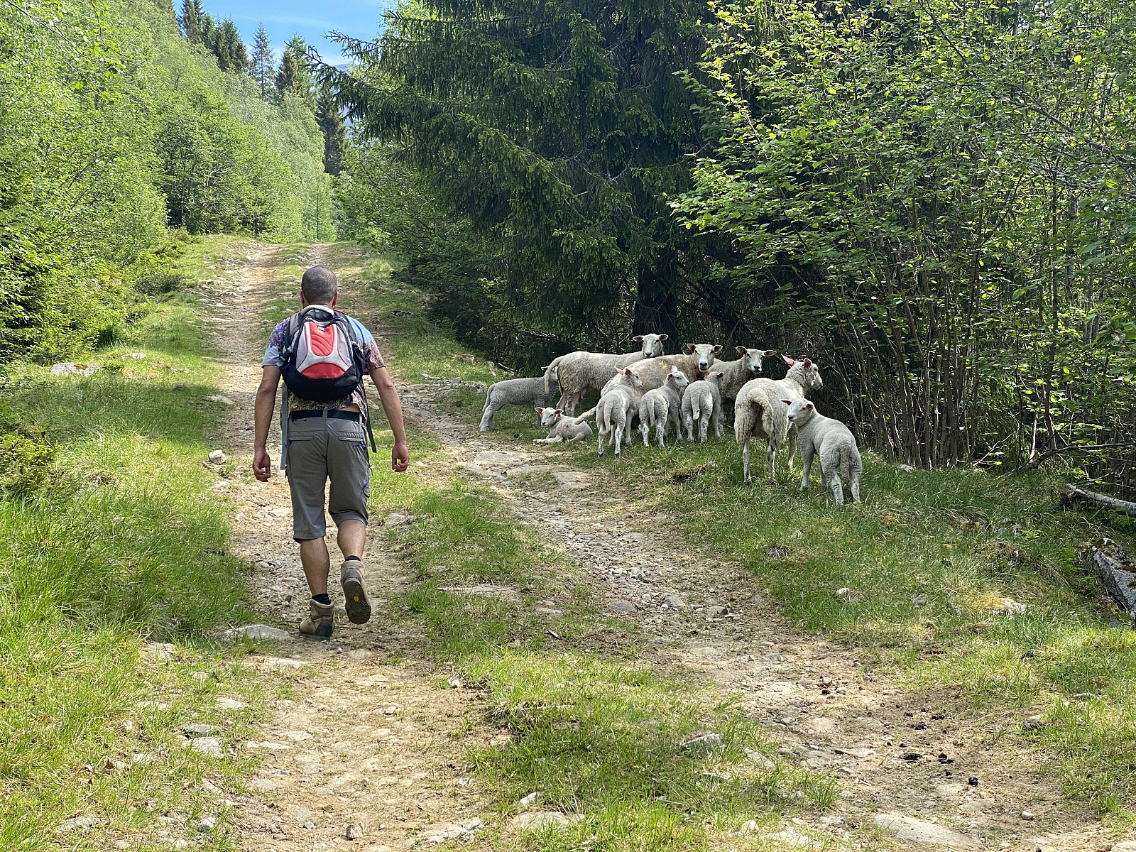
On this day we drove to the Valley of Vistdal in the eastern part of the county of Møre & Romsdal, intending to hike to a peak called Svarttinden [i.e. "The Black Peak"]. We followed some online instructions that my son had found for this particular trek, and left the county road for a gravel road about midway in the valley (see map). We followed this road past a farm or two and into the forrest; where we parked at a large clearing in the forrest where the forrest road made its first hairpin-bend.
![Image #3: Once you're above the forrrest, Mount Svarttinden [1094 m.a.m.s.l.] comes into view.](https://images2.peakbook.org/images/14939/Solan_20210814_61181f4890a87.jpg?p=xtralarge)
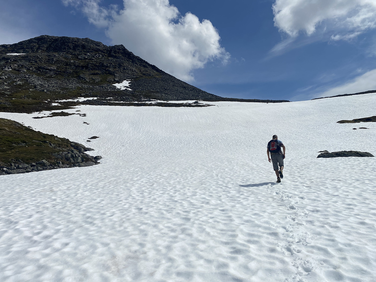
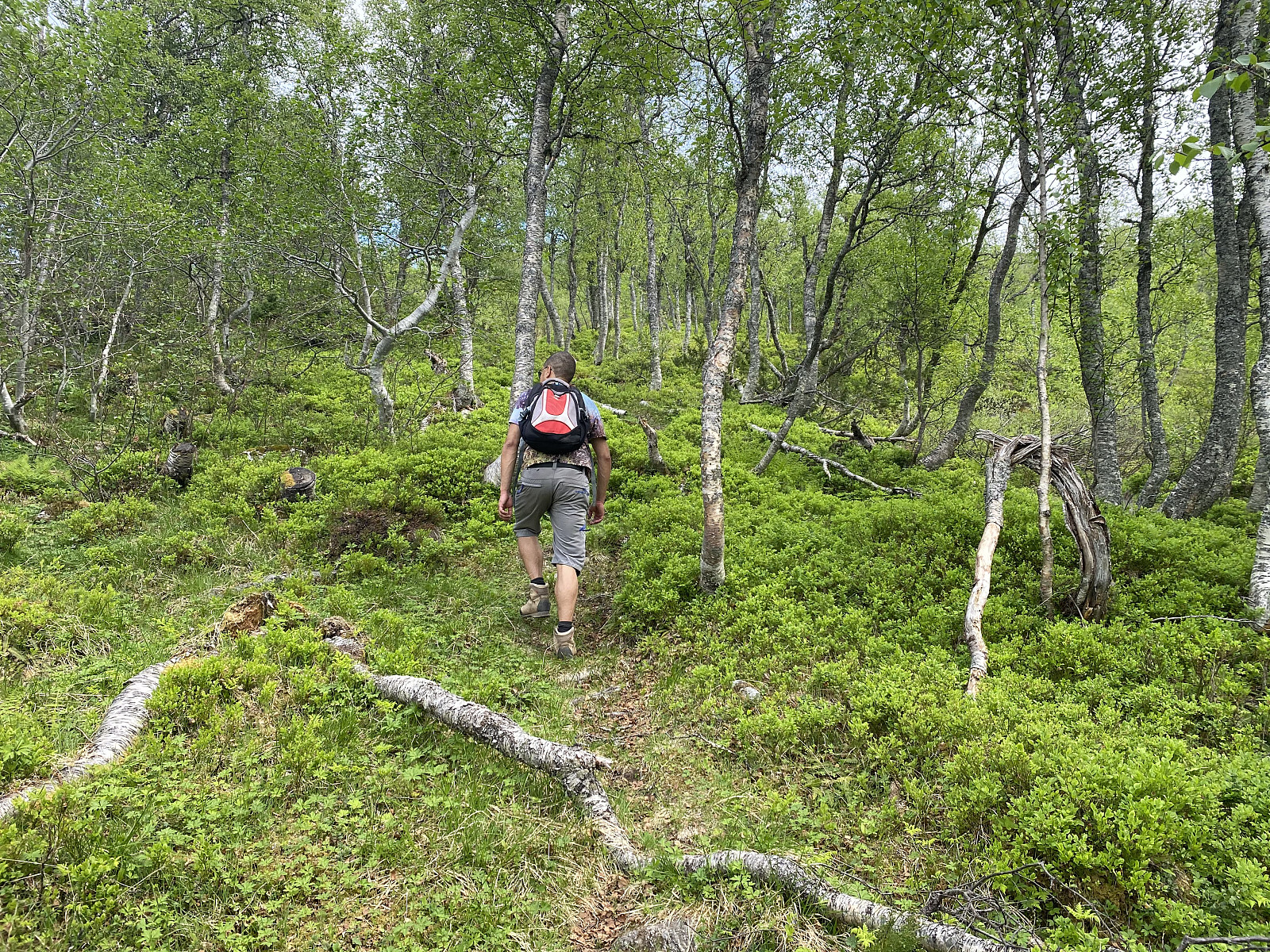
This parking lot is located at about 170 m.a.m.s.l., and from there the gravel road climbs up the mountain side to about 500 m.a.m.s.l., making a total of 8 hairpin bends; and where the road ends, the trail continues as an ordinary forrest path. We followed the road and then the trail until there was no longer any forrest, and then we immediately got the peak of Mount Svartetinden into sight. The trail continued upwards through the open landscape, and we followed it until we had to cross a huge snow patch that had not yet melted away despite the heat of the summer (Image #4).
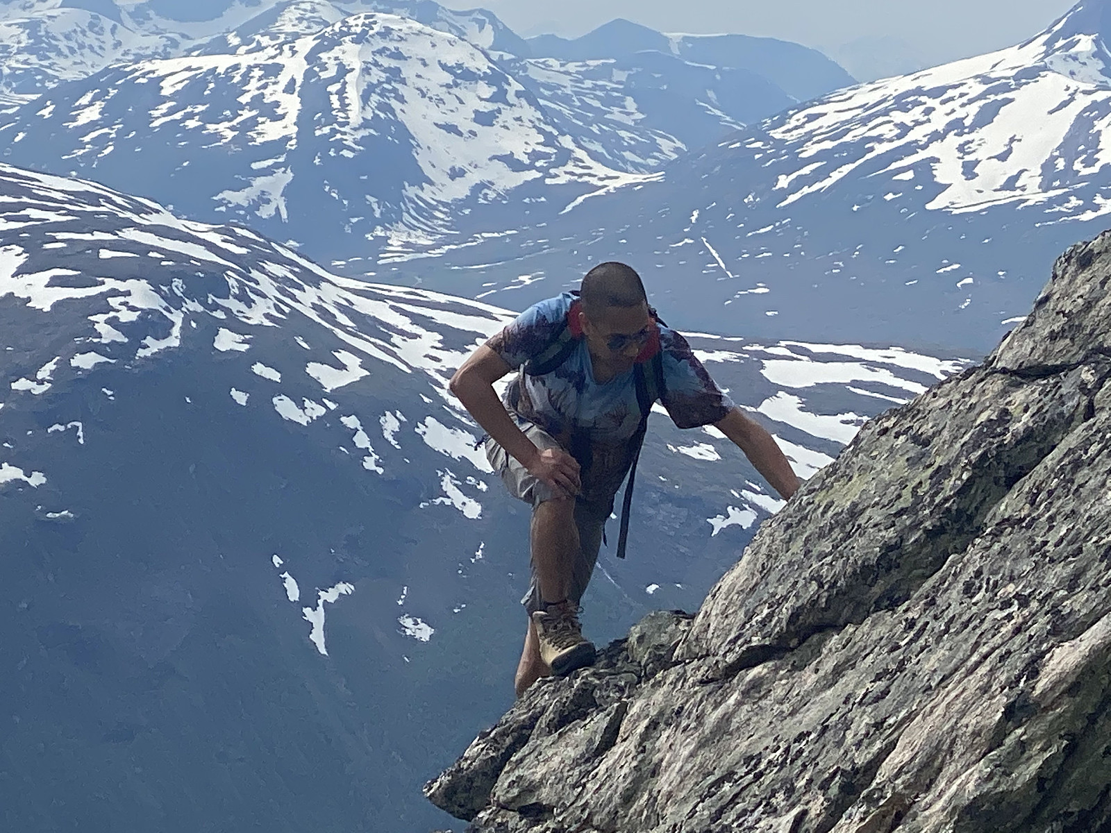
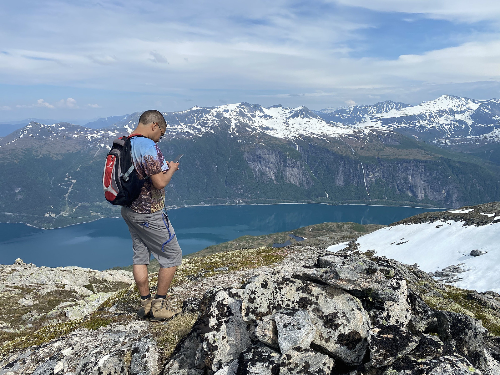
The last part of the trek offered some climbing (Image #5), though it would've been possible to avoid it, had we wanted, as there was an alternative trail, not so steep, just a little bit to the right of the one we were following. The summit of Mount Svartetinden offered a very nice view, especially over the fjord of Eresfjord (Image #7); though the view was splendid even in most directions, and it was actually possible to see the peaks flanking the cliff of Trollveggen in the Rauma Valley quite a bit afar (Image #8).
![Image #8: The peaks of the cliff of Trollveggen [i.e. The "Troll Wall"] seen from afar.](https://images2.peakbook.org/images/14939/Solan_20210814_6118237fbaddb.jpg?p=xtralarge)
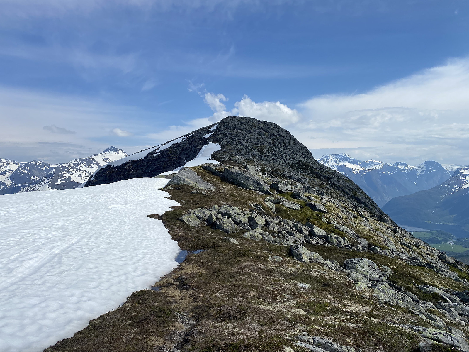
While at the summit of Mount Svartetinden, we decided to continue even to the summit of Mount Jamtetinden, which was located just a little bit further ahead (Image #9). The vertical separation of Mount Svartetinden from Mount Jamtetinden isn't more than 65 meters, and so it didn't take us very long to reach even this peak. From Mount Jamtetind we got a splended view into the valley of Eikesdalen with lake Eikesdalsvatnet, which was looking extremely beautiful in this nice weather (Image #11)..
![Image #9: Heading towards Mount Jamtetinden [1101 m.a.m.s.l.].](https://images2.peakbook.org/images/14939/Solan_20210814_611838aeaa297.jpg?p=xtralarge)
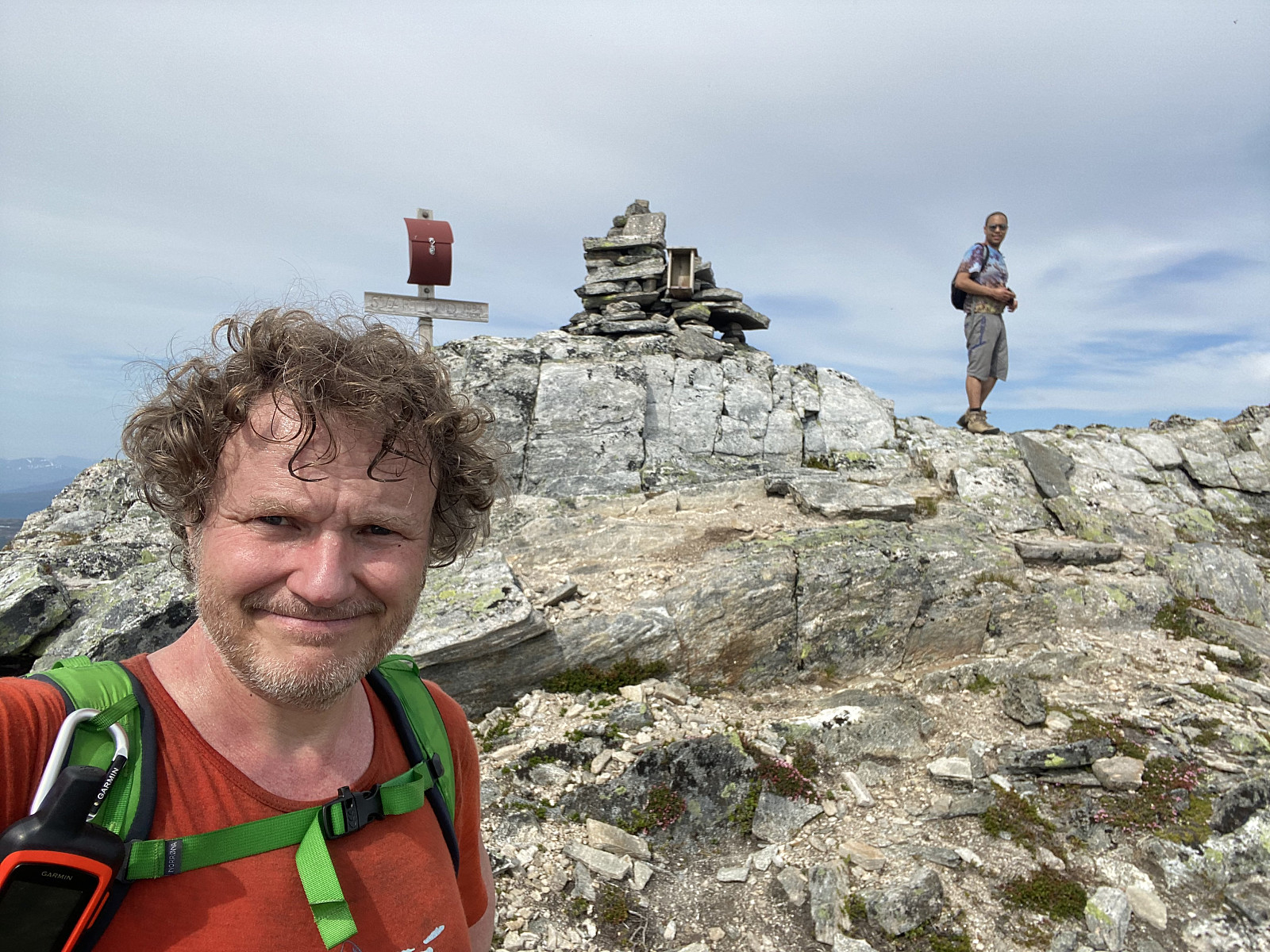
At the summit of Mount Jamtetinden [1101 m.a.m.s.l.] we shot a lot of pictures of the magnificent view, and then sat down for a brief while to have something to eat and something to drink, before we embarked upon our decent. From this summit I would say the view was even better than it had been on Mount Svartetinden. On the other side of the valley of Eikesdalen you could see Mount Skjorta [1711 m.a.m.s.l.], which we had ascended on skis during winter; and in a southward direction (Image #13) you could se Mount Gjuratinden [1712 m.a.m.s.l.], a mountain that I was going to climb later this summer.
![Image #11: View from Mount Jamtetinden towards Lake Eikevatnet [i.e. "The Oak Lake"] with surrounding mountains, such as Mount Goksøyra [1337 m.a.m.s.l.], Mount Fløtatinden [1711], Mount Sjøvdøla [1717] and Mount Nebba [1479].](https://images2.peakbook.org/images/14939/Solan_20210814_611830b38eb2a.jpg?p=xtralarge)
For our decent we used pretty much the same trail as we had done for our ascent, though we saved some time by skipping the summit of Mount Svartetinden, as we had already been there. Walking on the stones in the upper part of the trail was a little tricky, though not very much so. We soon arrived at the snow patch, however, and walking on that one was actually quite a bit easier. After the snow patch, the terrain was again less stony, with soil along with some vegetation (mostly moss and heather); with the trail winding its way in between some grass and the heather.
![Image #12: At the cairn on top of Mount Jamtetinden. In the right half of the picture Mount Skjorta [1711 m.a.m.s.l.] and part of Mount Goksøyra [1337] may be seen.](https://images2.peakbook.org/images/14939/Solan_20210814_61183370d03c1.jpg?p=xtralarge)
![Image #13: Mount Gjuratinden [1712 m.a.m.s.l.] seen from afar (just to the left of the middle of the picture].](https://images2.peakbook.org/images/14939/Solan_20210814_611834235ab44.jpg?p=xtralarge)
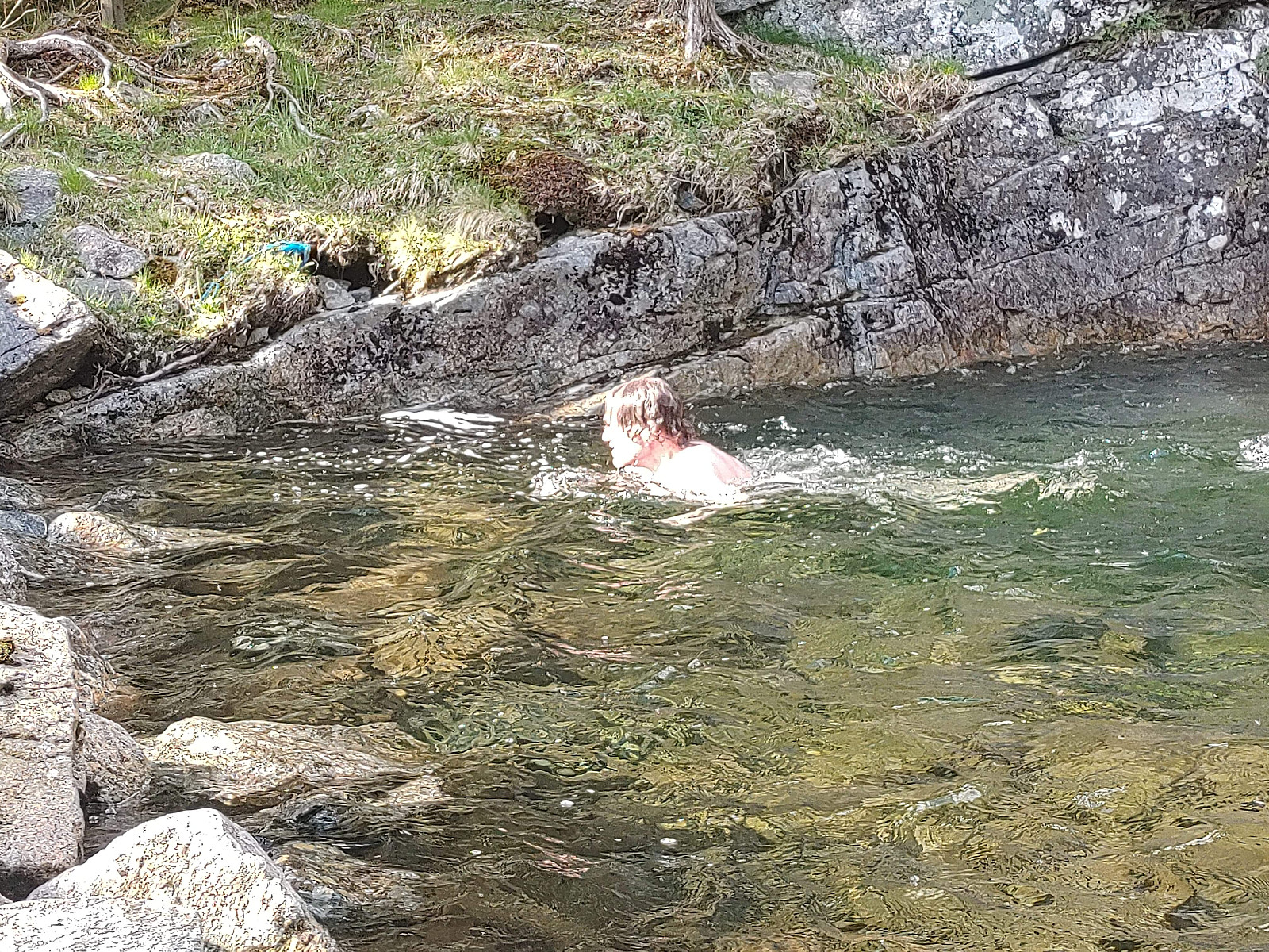
The weather had been hot and nice during our entire hike, and prior to our ascent of these two mountains, we had noticed there was a very nice pool suitable for swimming just below a waterfall in the River Skardselva, just by the parking lot, where we had our car waiting for us (see video below, along with images ##14 & 15); and so I had a little swim in the cold water, just to cool down a little, before embarking upon our drive home. This spot is extremely idyllic in such weather, and the waterfall is beautiful; and the locals humoristically usually refer to the location as "Hawaii".
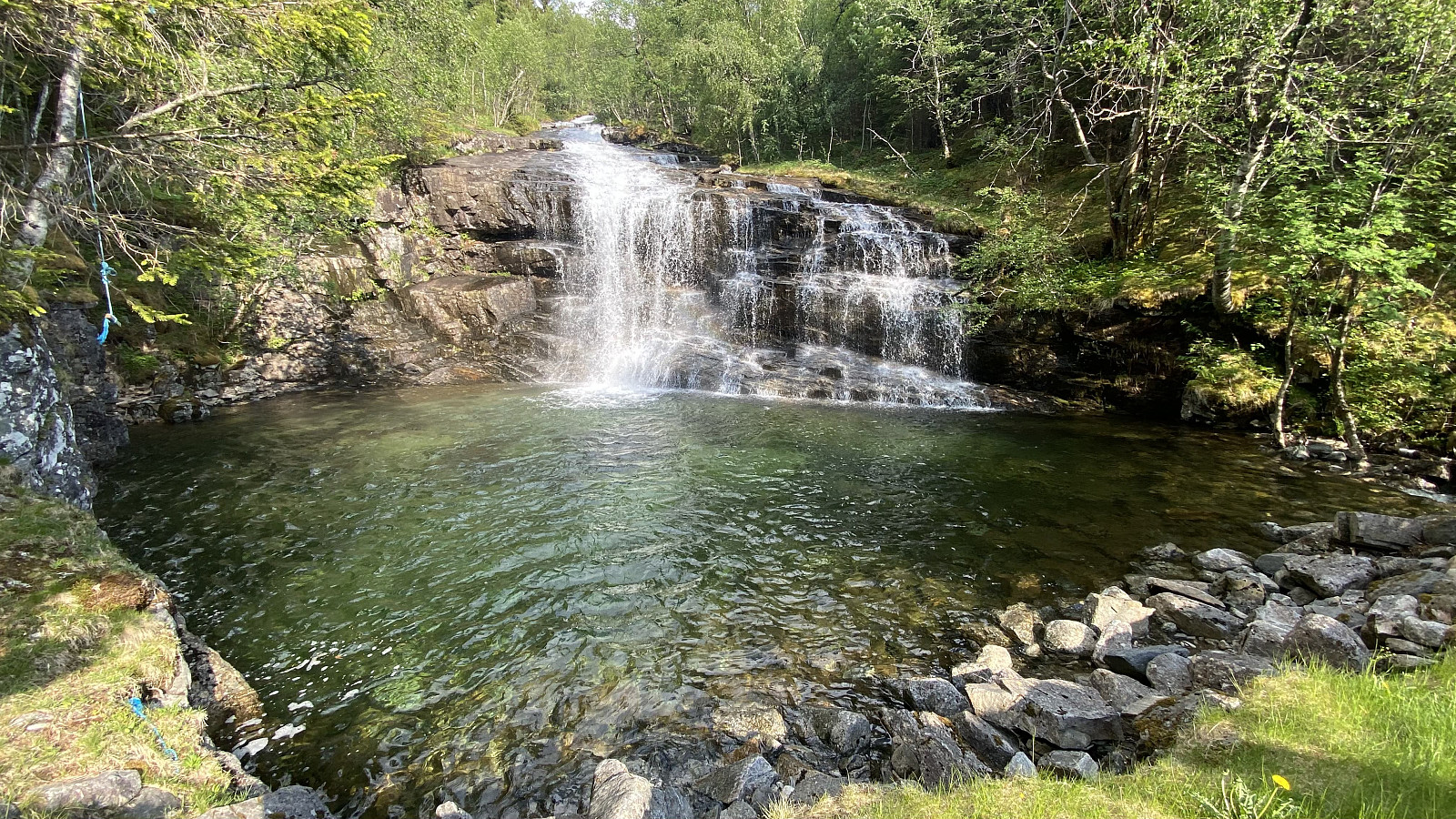
Video: The beautiful waterfall of the swim pond in Skardselva River, just by Lundeplassen parking lot in Vistdalen Valley.


Benutzerkommentare