
Cycling: Storakvitefjellet (01.05.2021)

Geschrieben von hbar (Harald Barsnes)

| Startpunkt | Lønborg (56m) |
|---|---|
| Endpunkt | Lønborg (56m) |
| Tourcharakter | Fahrradtour gemischt |
| Tourlänge | 5h 19min |
| Entfernung | 67,6km |
| Höhenmeter | 1.386m |
| GPS |
|
| Besteigungen | Storakvitefjellet (212m) | 01.05.2021 |
|---|---|---|
| Besuche anderer PBE | Bryggen i Bergen (1m) | 01.05.2021 |
| Nygårdsbroene (5m) | 01.05.2021 | |
| Ruinene på Lysekloster (53m) | 01.05.2021 | |
| Storakvitefjellet utsiktspunkt (209m) | 01.05.2021 |
Cycling: Storakvitefjellet
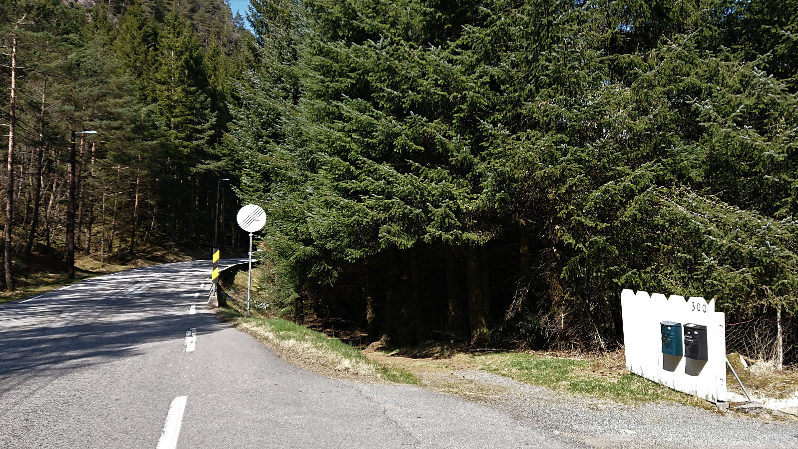
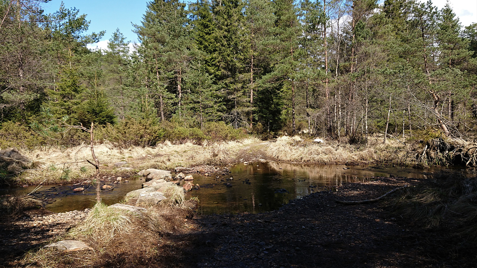
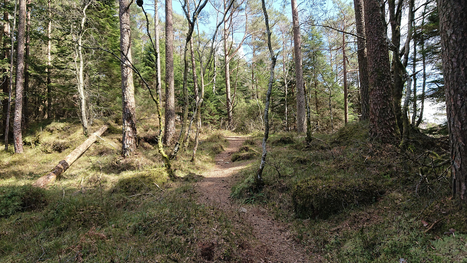
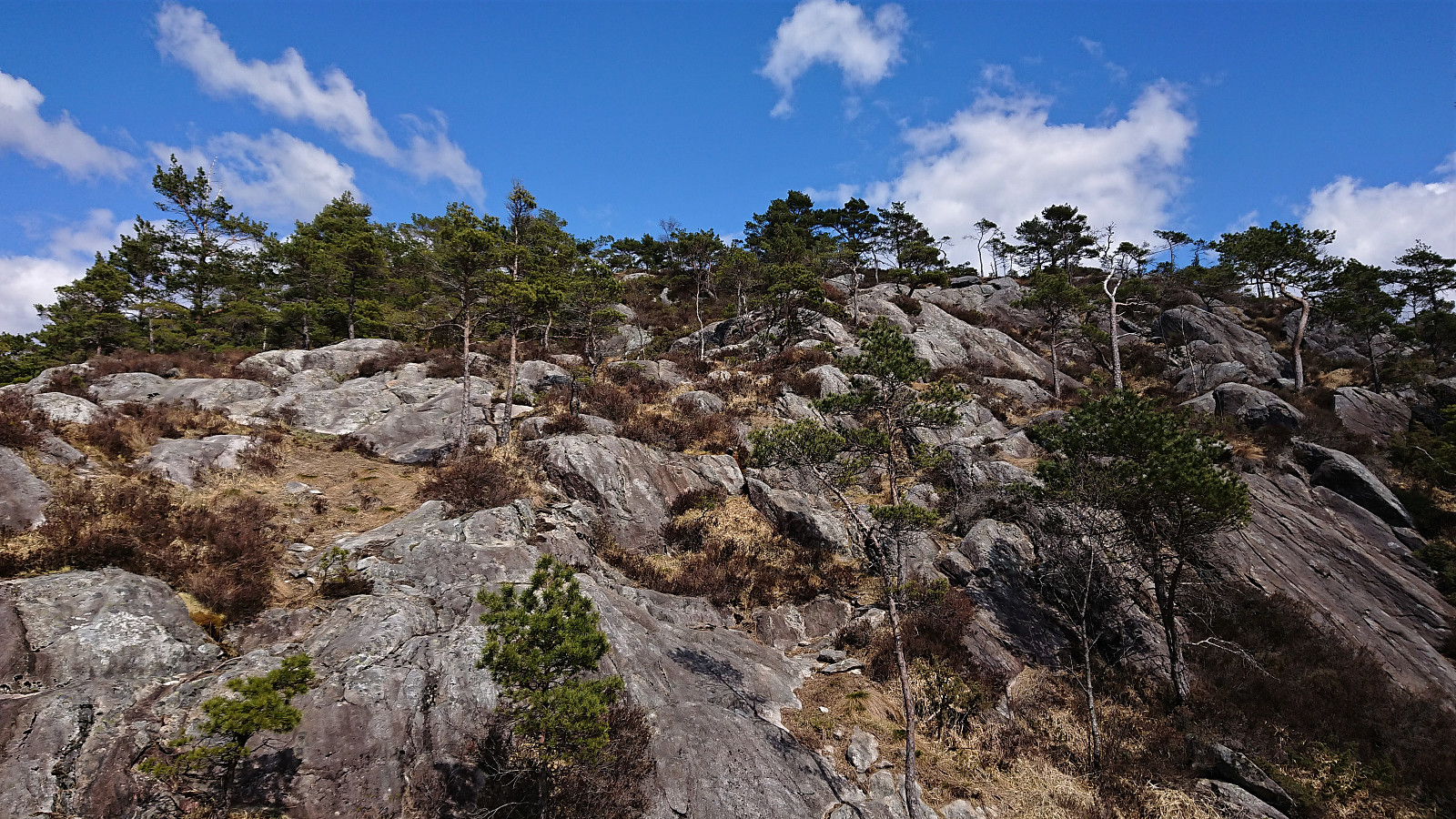
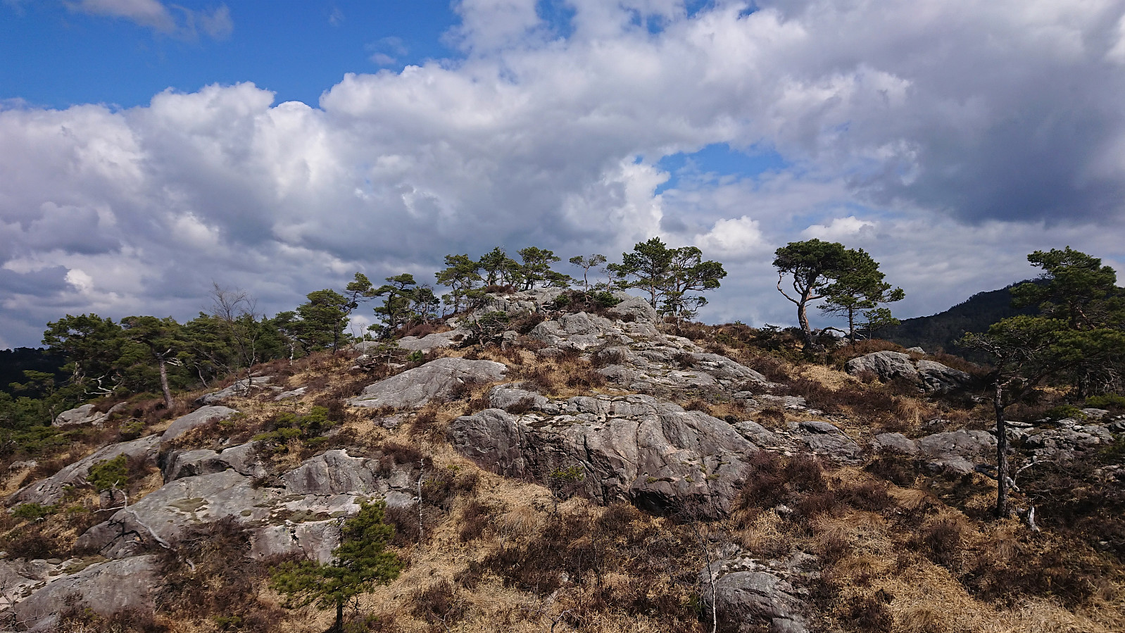
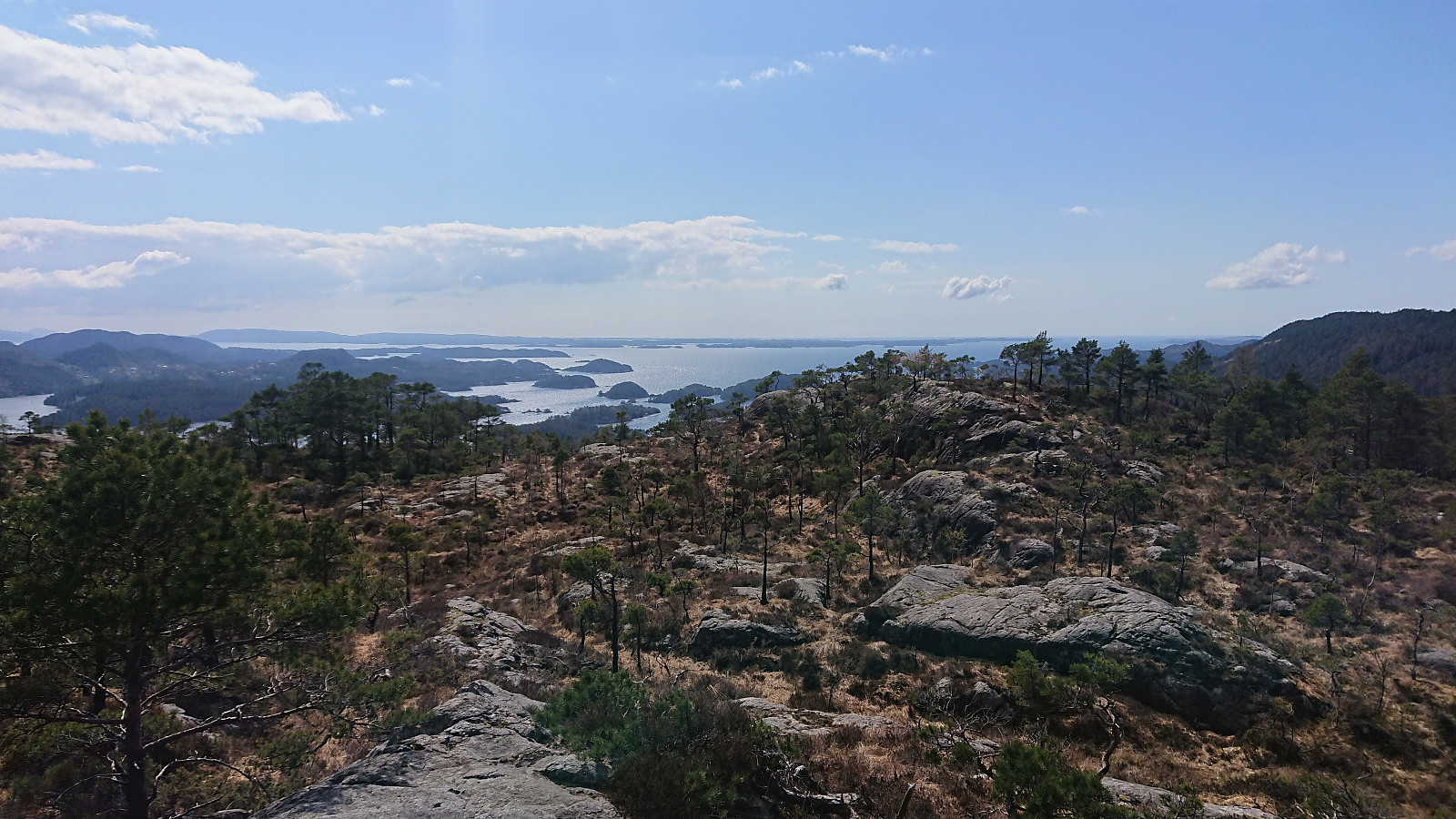
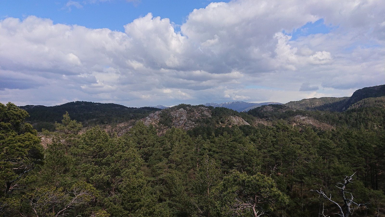
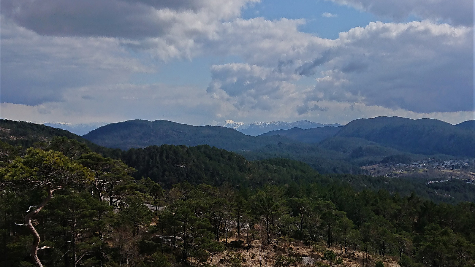
Cycling trip that also included a visit of Storakvitefjellet. Started by following the standard cycling route to Søfteland, where I turned southwest up the very steep Langedalen. Next, I passed by the ruins at Lysekloster on my way to Lysefjorden and Nordvik. Here I easily located the tractor road taking me to the unmarked trailhead for Storakvitefjellet. In order to get to the trailhead a small stream had to be crossed, but this was straightforward given multiple strategically placed rocks. At the trailhead I left the bike behind and continued towards the summit on foot.
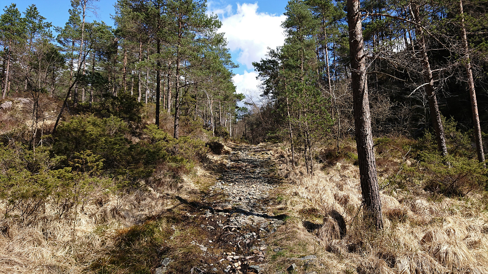
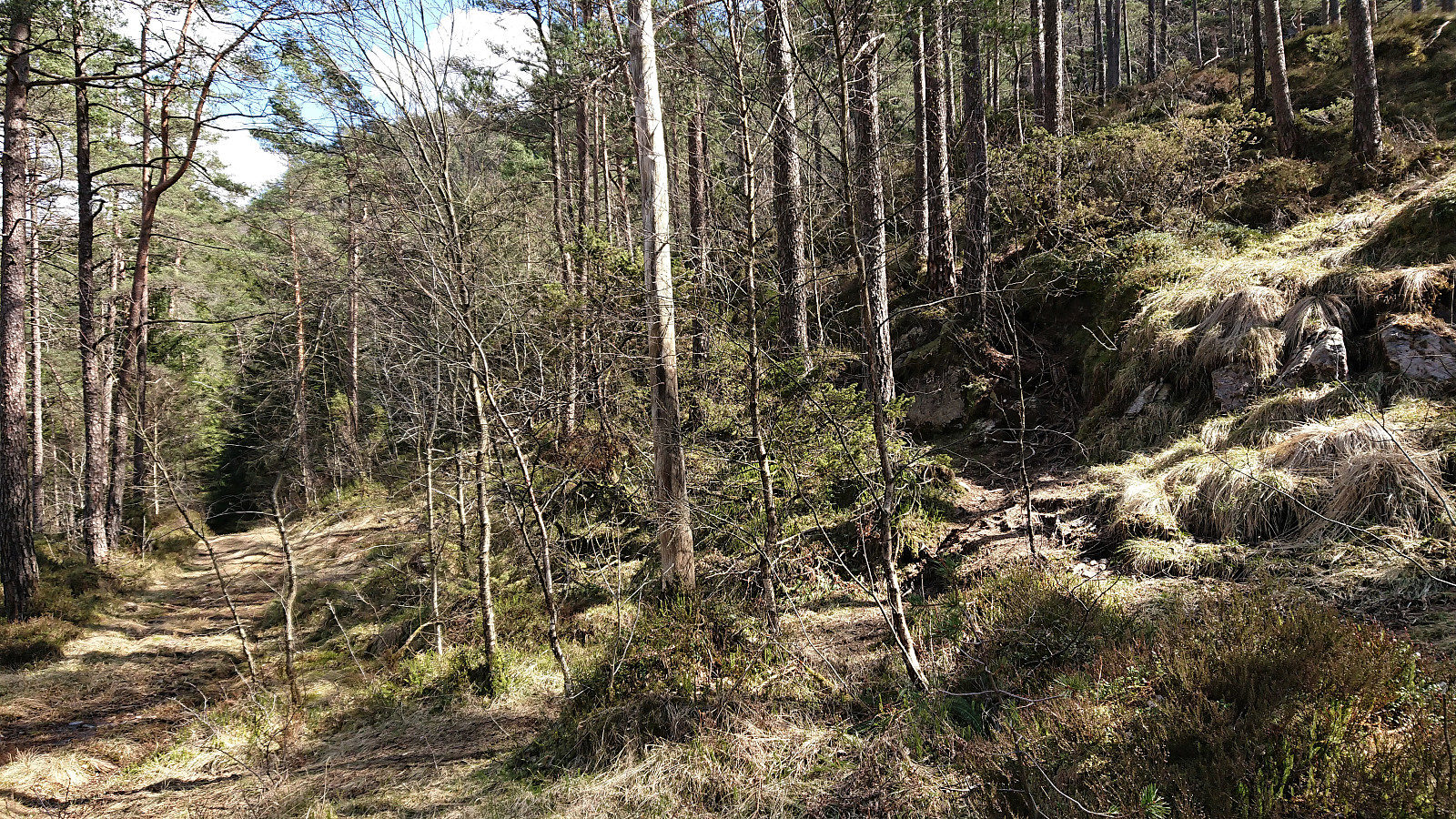
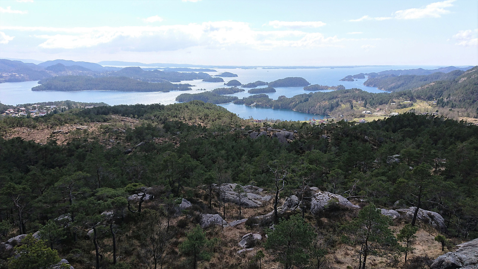
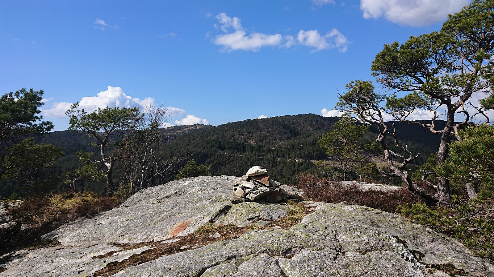
The trail was a bit wet early on, but was overall of good quality and easy to follow. It did however disappear (or perhaps split into multiple options?) when crossing a wet area below the summit, but by then the direction was pretty obvious, and the trail shortly reappeared. There was a small cairn and a trig marker about 65 m southwest of the summit, while the summit itself was unmarked. Excellent views across Lysefjorden from both the summit and the first part of the descent. Very much worth a visit! The trip was concluded by cycling home via Fanafjellet, during which the sun disappeared completely and it even starting raining! Other than that, a very nice trip that can be highly recommended!
| Startzeitpunkt | 01.05.2021 11:47 (UTC+01:00 SZ) |
| Endzeitpunkt | 01.05.2021 17:07 (UTC+01:00 SZ) |
| Gesamtzeit | 5h 19min |
| Zeit in Bewegung | 4h 58min |
| Pausenzeit | 0h 20min |
| Gesamtschnitt | 12,7km/h |
| Bewegungsschnitt | 13,6km/h |
| Entfernung | 67,6km |
| Höhenmeter | 1.385m |


Benutzerkommentare