
Cycling: Malkenes - Espevik - Våge - Lønborg (16.06.2020)

Geschrieben von hbar (Harald Barsnes)

| Startpunkt | Malkenes kai (1m) |
|---|---|
| Endpunkt | Lønborg (57m) |
| Tourcharakter | Fahrradtour Straße |
| Tourlänge | 12h 12min |
| Entfernung | 91,3km |
| Höhenmeter | 2.015m |
| GPS |
|
| Besteigungen | Blåbærhaugen (297m) | 16.06.2020 |
|---|---|---|
| Besuche anderer PBE | Bryggen i Bergen (1m) | 16.06.2020 |
| Nygårdsbroene (5m) | 16.06.2020 | |
| Skaret p-plass (150m) | 16.06.2020 | |
| Storsæterfjellet p-plass (123m) | 16.06.2020 |
Cycling: Malkenes - Espevik - Våge - Lønborg

On yet another day of excellent warm summer weather, I decided to take the day off and carry out the second of my ambitious cycling/hiking trips to Tysnes. This time avoiding the initial 40 km bike ride to Halhjem by instead taking the express ferry from the Bergen city center to Malkenes, as this would allow me to spend more time hiking.
Upon arriving at Malkenes, I followed the now partially familiar roads to Skaret p-plass, where I left the bike behind for an excellent hike to Hovlandsnuten and Etlådnefjellet. See the separate trip report here: Hovlandsnuten and Etlådnefjellet.
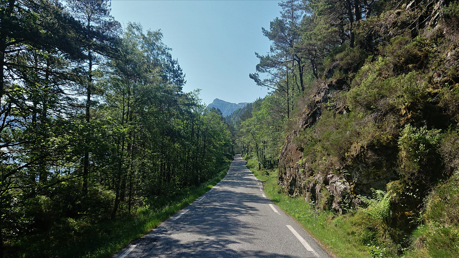
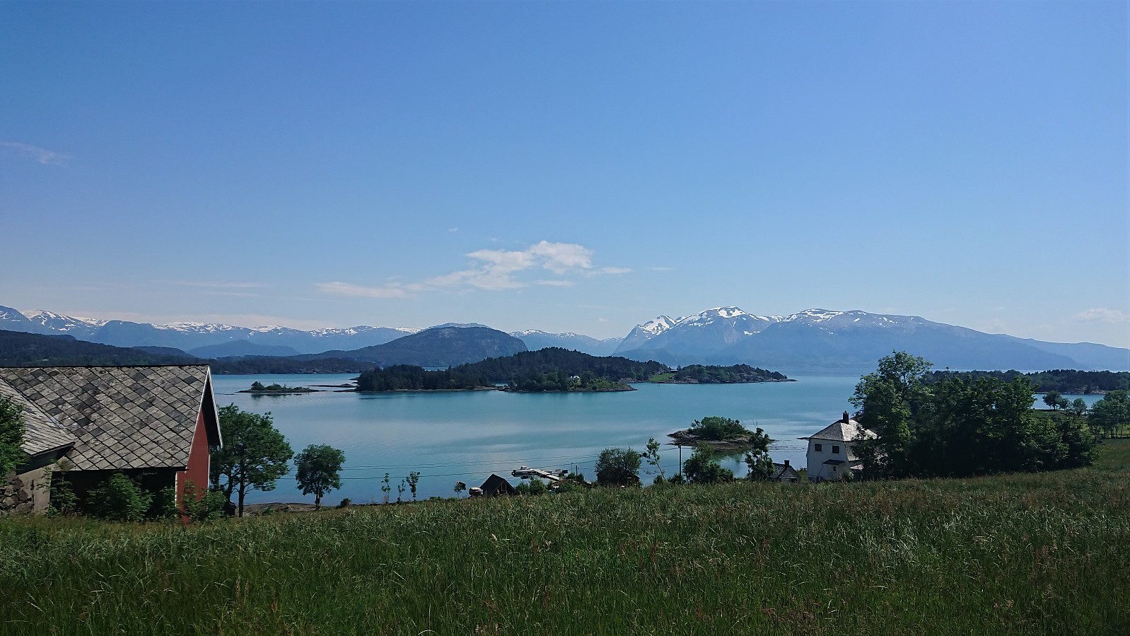
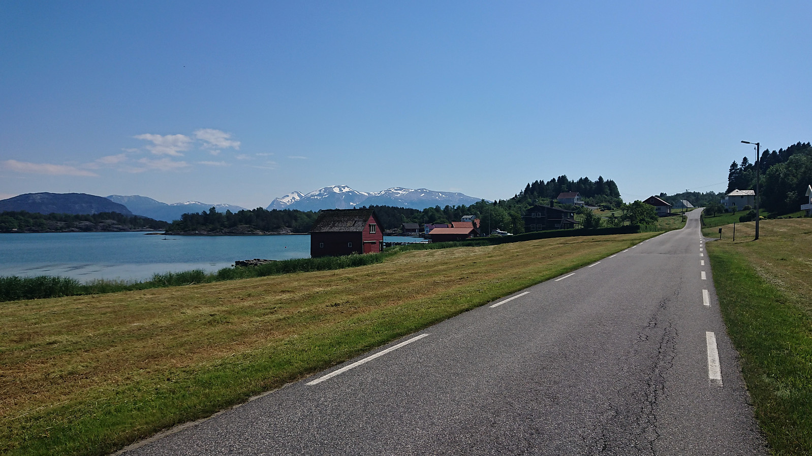
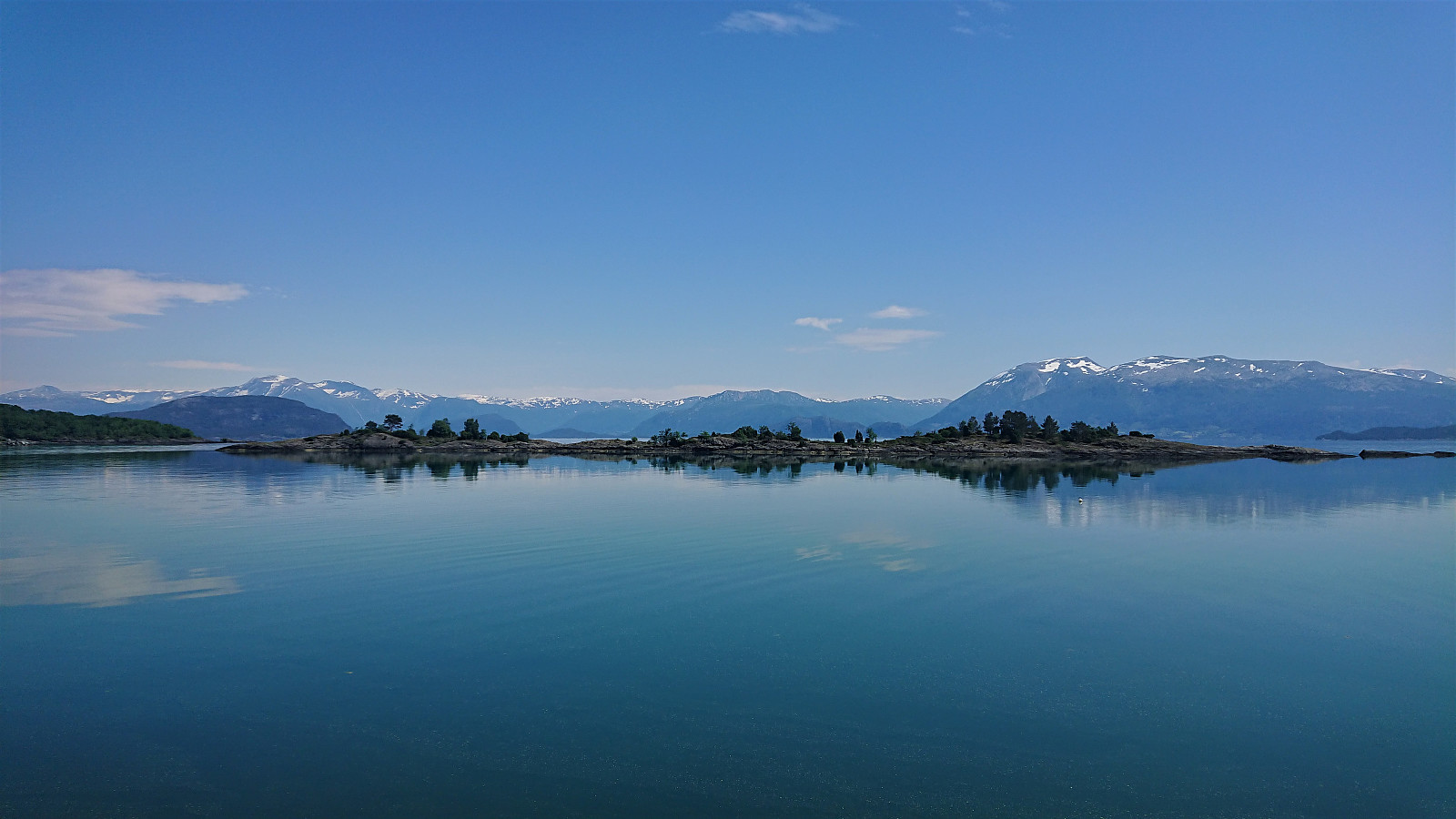
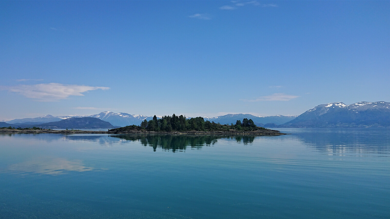
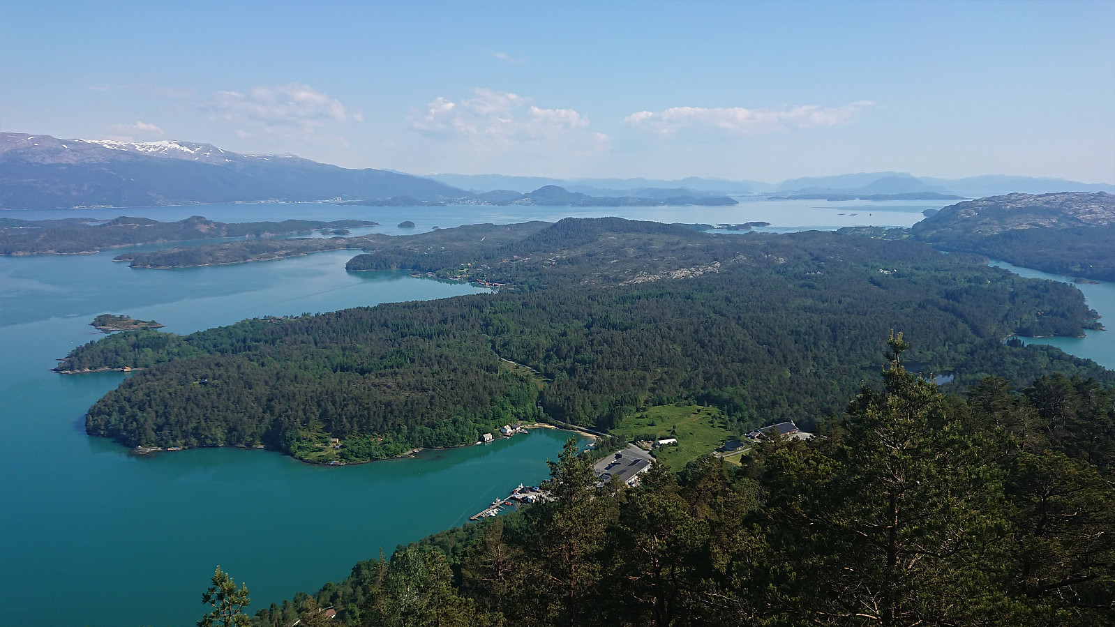
When coming back down to Skaret, I did not waste any time and quickly continued south to Onarheim, basically all downhill and flat, and with some spectacular views along the way. At Onarheim I took a break for an ice cream and a soda, before continuing to Espevik and a visit of Barmehovda. See the separate trip report here: Barmehovda.
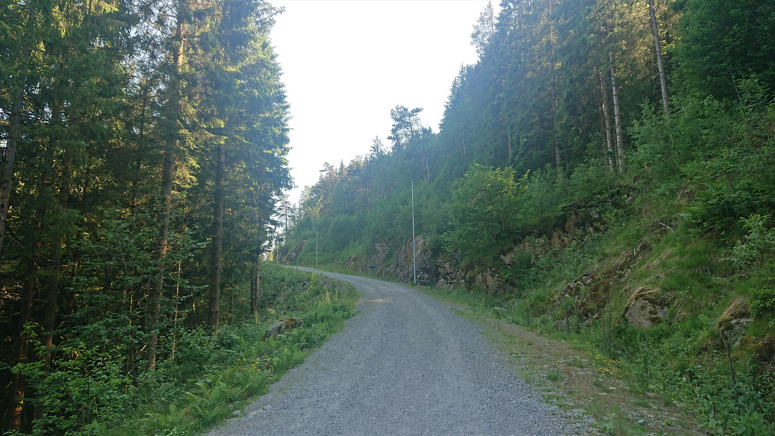
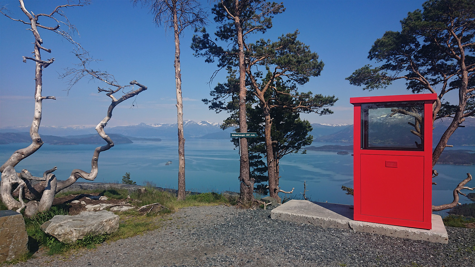
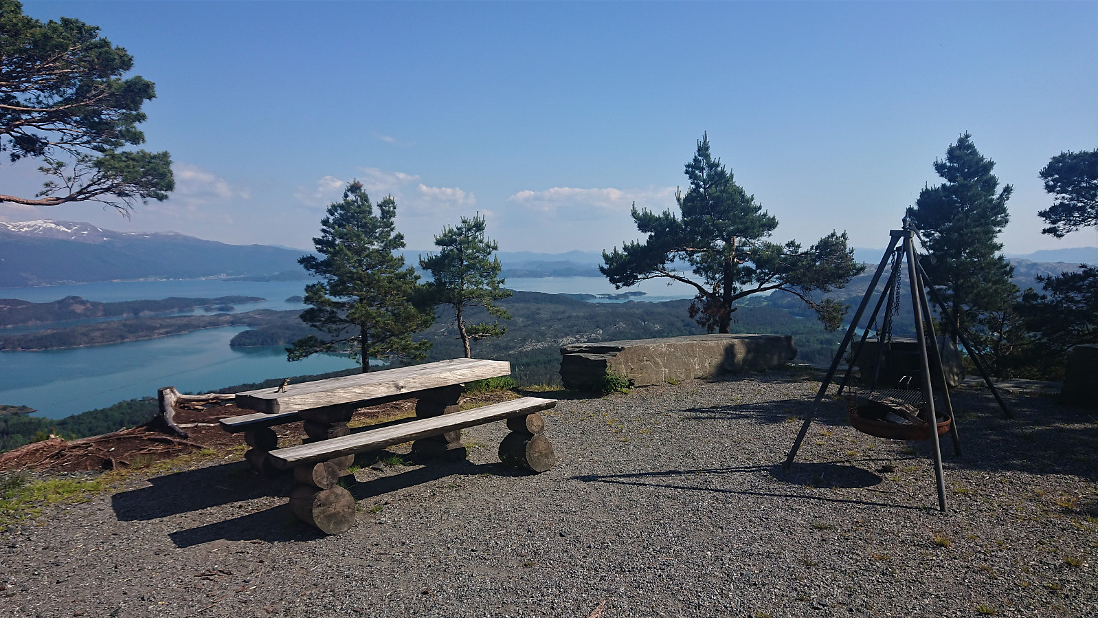
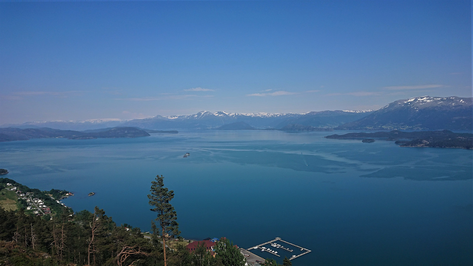
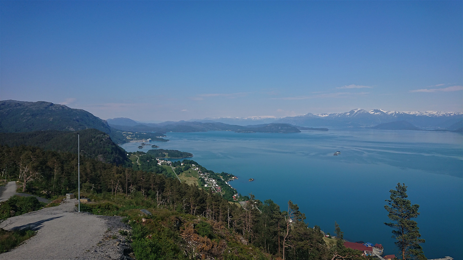
After the quick visit of Barmehovda, I returned to Onarheim and started the 300-meter climb to Blåbærhaugen, the last stretch on a nice but steep gravel road. I therefore resorted to walking next to the bike for the steepest parts. Blåbærhaugen provided excellent views and a good location for my second short lunch break.
I could not stay long though, as I also had plans to visit Vetlefjell and make the ferry at Våge at 19:00. Shortly, I therefore cycled to the turnaround about 300 meters northeast of the summit of Vetlefjell and started my ascent from there. See the separate trip report here: Vetlefjell.
Back at the gravel road I noticed that my visit of Vetlefjell had taken slightly longer than hoped, and I now had just around an hour before I had to be at Våge in order to catch the ferry. The ride to Våge therefore ended up as a time trial with a very firm deadline. Thankfully most of the route was either downhill or flat (although with some rather annoying exceptions), but I still had to push to have any chance of making it. In the end, I arrived at Våge with less than five minutes to spare, and could enjoy a much-deserved half hour break on the ferry before the final lap of my journey from Halhjem home to Lønborg.
Overall, an excellent trip with spectacular views along the way. Highly recommended!
| Startzeitpunkt | 16.06.2020 10:22 (UTC+01:00 SZ) |
| Endzeitpunkt | 16.06.2020 22:35 (UTC+01:00 SZ) |
| Gesamtzeit | 12h 12min |
| Zeit in Bewegung | 7h 21min |
| Pausenzeit | 4h 50min |
| Gesamtschnitt | 8,5km/h |
| Bewegungsschnitt | 14,0km/h |
| Entfernung | 103,3km |
| Höhenmeter | 2.015m |
Note that the GPS track also includes the ferry from Våge to Halhjem. Subtract approximately 12 km to get the actual cycling distance.


Benutzerkommentare