
Kannikenuten from Vevatne (21.05.2020)

Geschrieben von hbar (Harald Barsnes)

| Startpunkt | Vevatne (74m) |
|---|---|
| Endpunkt | Vevatne (74m) |
| Tourcharakter | Bergtour |
| Tourlänge | 1h 19min |
| Entfernung | 3,4km |
| Höhenmeter | 306m |
| GPS |
|
| Besteigungen | Kannikenuten (377m) | 21.05.2020 16:00 |
|---|
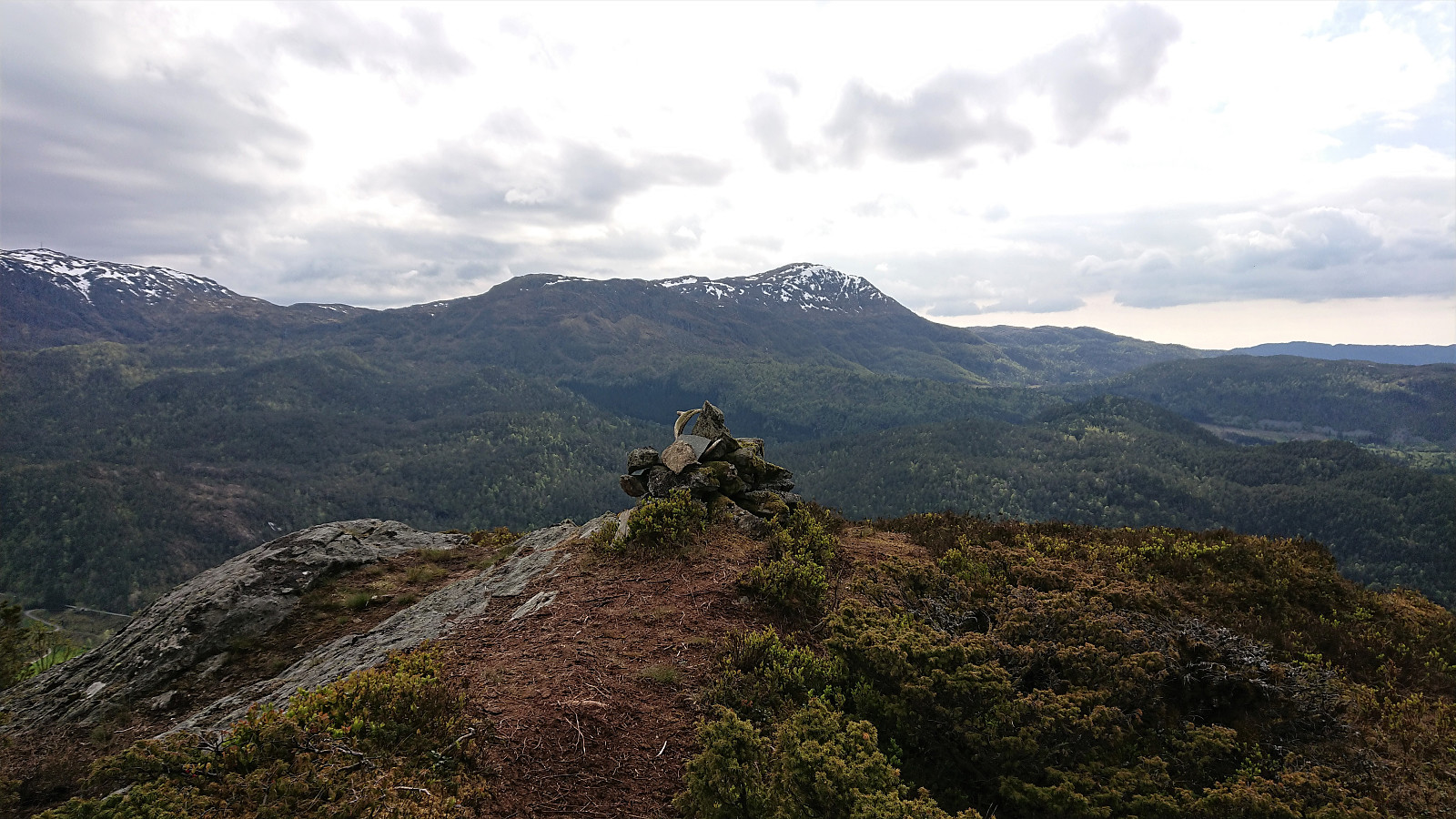
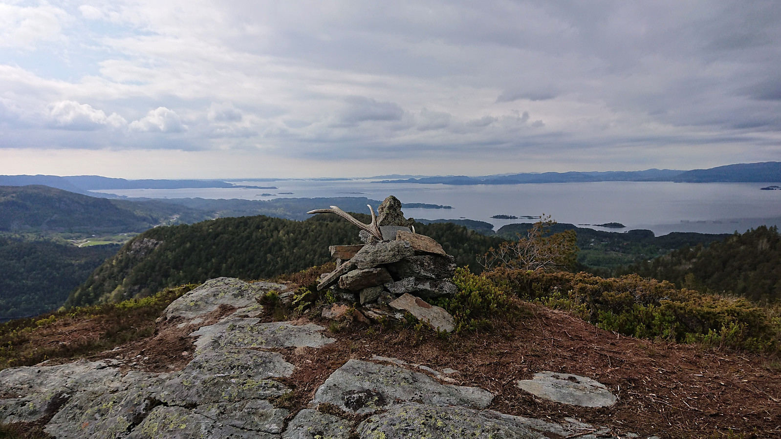
Kannikenuten from Vevatne
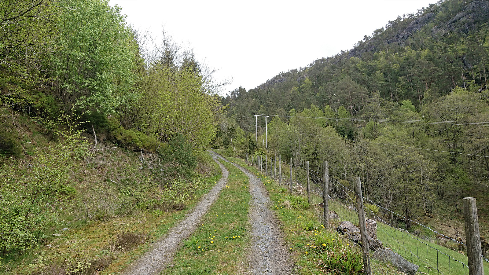
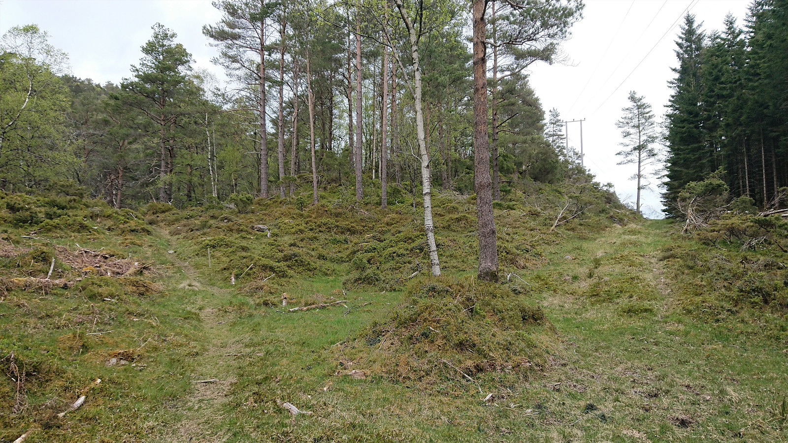
Leaving my bike at the start of the steep tractor road up from Vevatne, I started my ascent to Kannikenuten on foot. Shortly before reaching the top of the valley, a marked trail headed northwest towards the summit. Or at least the first part was marked, but after that it was not really needed anyway. (Note that my GPS decided to take a break on the ascent. Please see the descent route for the actual trail.)
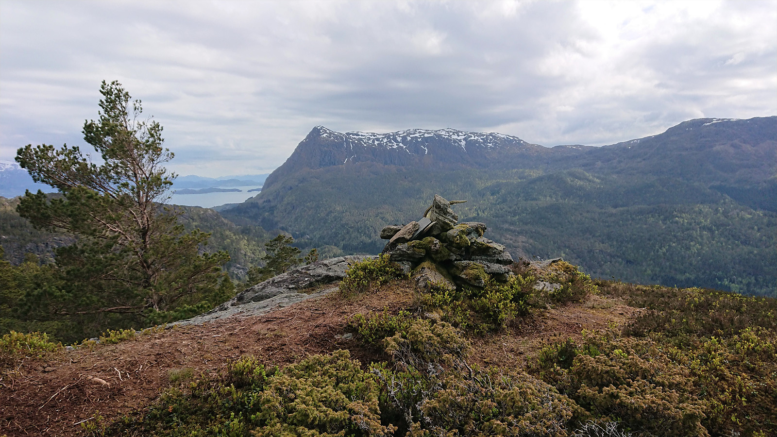
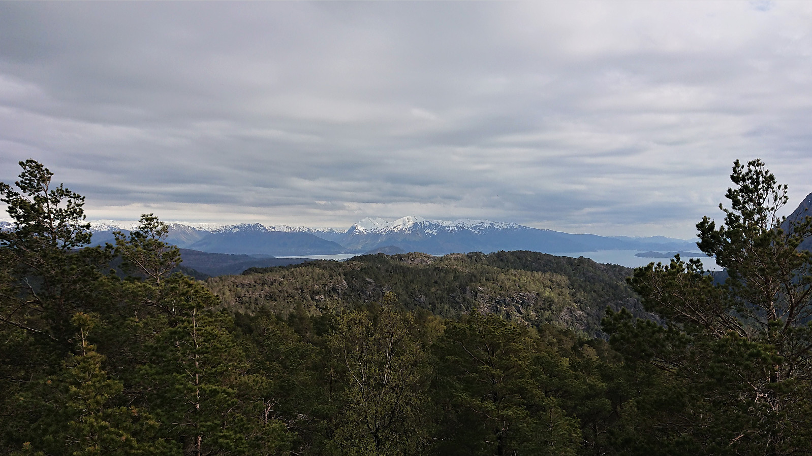
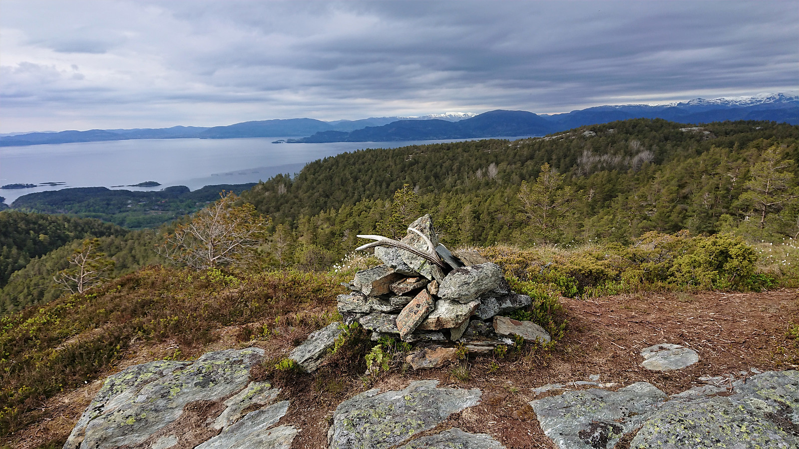
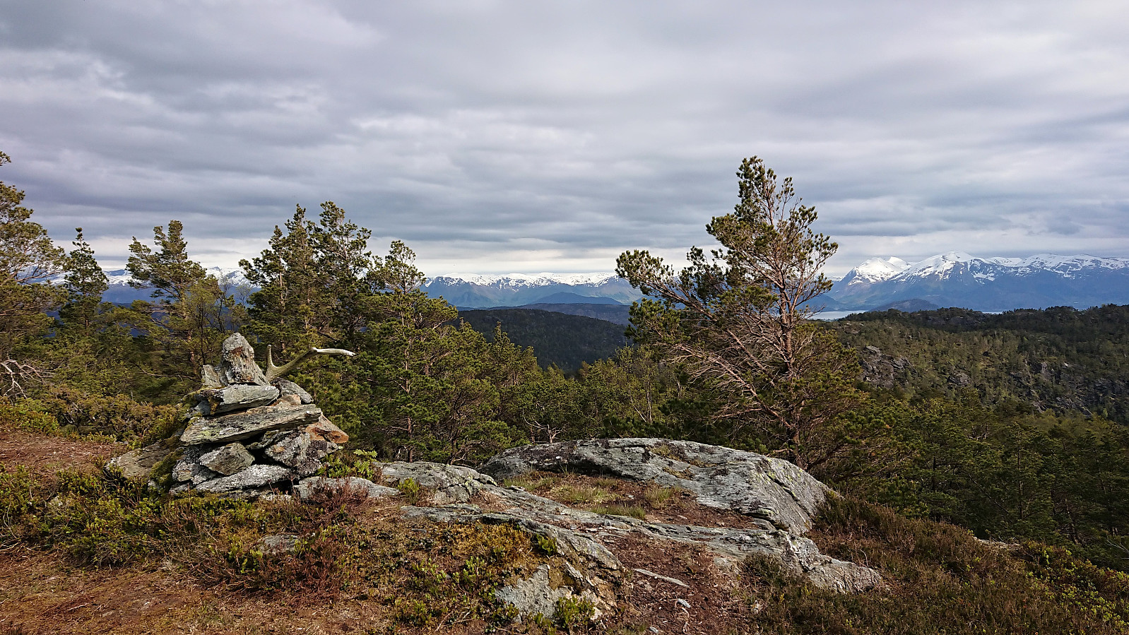
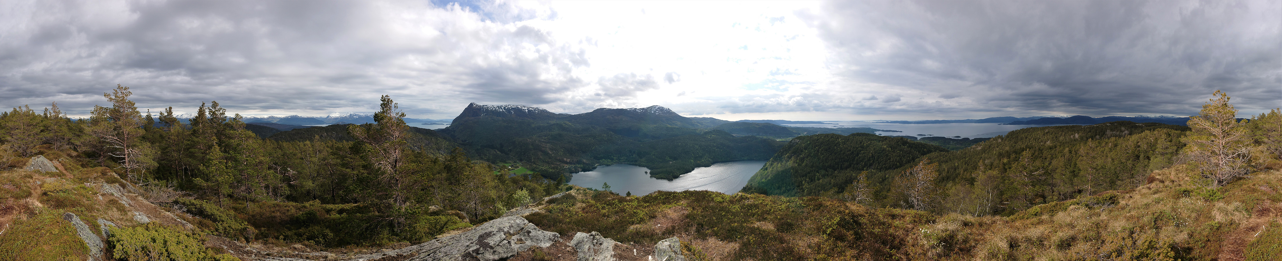
The summit provided spectacular views in almost all directions. Very unusual for a summit only 376 meters above sea level. After enjoying the views, I followed the same route back to my bike. In summary, a short nice hike that can be very highly recommended.
All that remained was now the long bike ride back home. For more on that please see: Cycling: Tuvefjellet and Kannikenuten.
Note that if arriving by car, there is no parking at the start of the tractor road. Hikers are instead recommended to park east of the Vetlabølsvegen about 600m south of Vevatne (20m south of Tverrelva). See SommerTrim Tysnes 2020 for more details.
| Startzeitpunkt | 21.05.2020 16:08 (UTC+01:00 SZ) |
| Endzeitpunkt | 21.05.2020 17:28 (UTC+01:00 SZ) |
| Gesamtzeit | 1h 19min |
| Zeit in Bewegung | 1h 01min |
| Pausenzeit | 0h 18min |
| Gesamtschnitt | 2,5km/h |
| Bewegungsschnitt | 3,3km/h |
| Entfernung | 3,4km |
| Höhenmeter | 306m |
Note that my GPS decided to take a break on the ascent. Please see the descent route for the actual trail.


Benutzerkommentare