
Cycling: Tuvefjellet and Kannikenuten (21.05.2020)

Geschrieben von hbar (Harald Barsnes)

| Startpunkt | Lønborg (55m) |
|---|---|
| Endpunkt | Lønborg (55m) |
| Tourcharakter | Fahrradtour Straße |
| Tourlänge | 13h 10min |
| Entfernung | 117,4km |
| Höhenmeter | 2.272m |
| GPS |
|
| Besuche anderer PBE | Bryggen i Bergen (1m) | 21.05.2020 |
|---|---|---|
| Skaret p-plass (150m) | 21.05.2020 |
Cycling: Tuvefjellet and Kannikenuten
Ever since exhausting the hiking options from Våge as a starting point for my hikes at Tysnes, I had played with the idea of arriving at Våge by bike, thus opening up new possibilities. The only problem was that this would involve first having cycled the 40 km to the ferry at Halhjem, and just as important, having to cycle the 40 km back home from Halhjem at the end of the trip.
But after my recent test run to Halhjem, I concluded that, while it would definitely be a long trip, it should be possible. Having done the test run turned out to be very useful given that my start from Lønborg was slightly delayed, resulting in arriving at Halhjem just as the ferry was docking, and with less than ten minutes until departure.
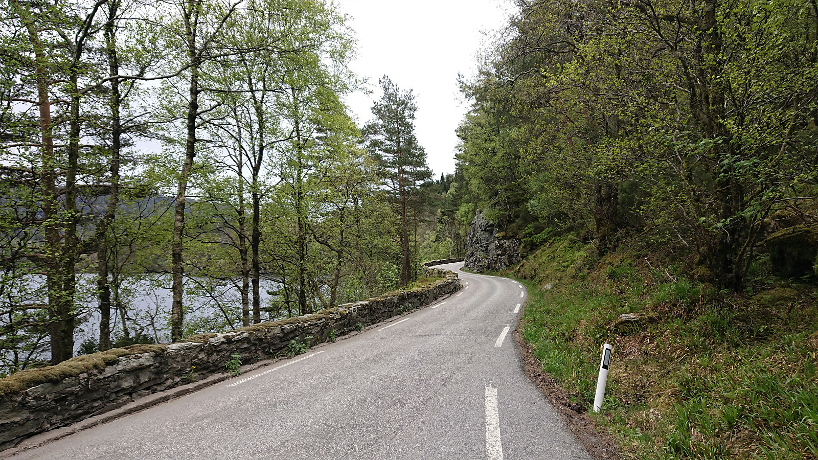
Upon arriving at Våge I headed east to Lundegren and then south to Vevatne, enjoying the much faster speed the bike enabled compared to my earlier trips in the area on foot. The climb up to the parking lot south of Kyrkjefjellet was however tougher than I had hoped. My plan had been to bring the bike with me as far as the tractor road allowed, but it quickly became obvious that it was not worth the effort. I therefore soon left the bike behind and continued on foot. For more details on the hike to Kyrkjefjellet and Tuvefjellet please see Tuvefjellet via Kyrkjefjellet.
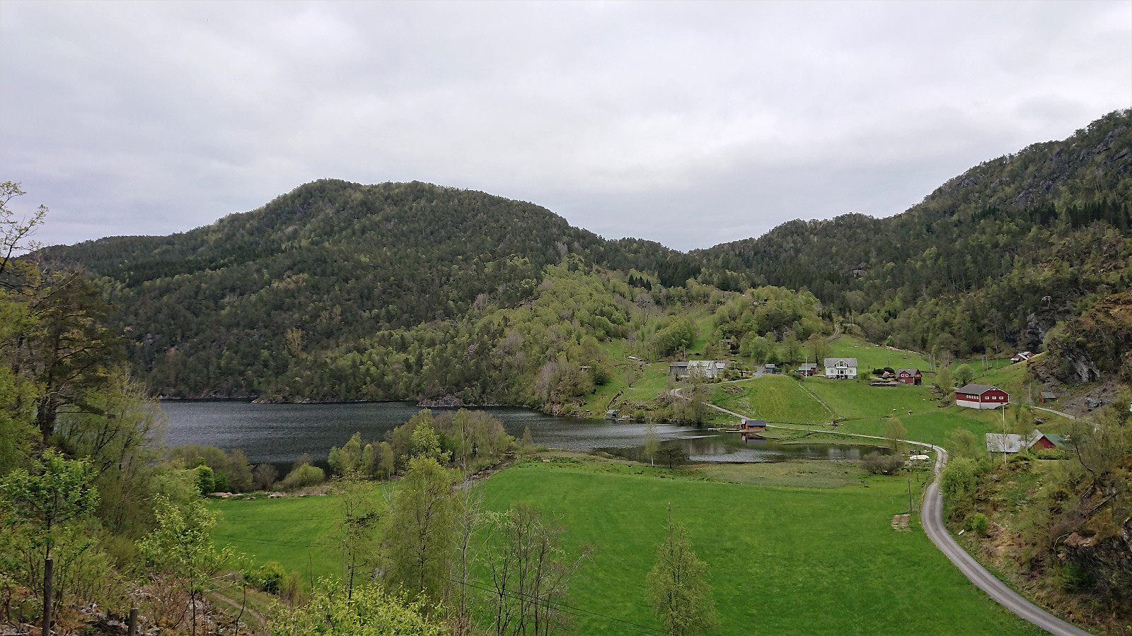
Back at the parking lot, it was now time for a short bike ride to Vevatne, and the thrill of simply rolling down the hill clearly made the efforts of cycling up the hill very much worth it! At Vevatne I left my bike at the start of the steep tractor road, again dismissing the option of bringing it with me, and started the ascent towards Kannikenuten. For more details on the hike to Kannikenuten, please see Kannikenuten from Vevatne.
When getting back down to my bike, all that remained was the long trip home, first to the ferry at Våge and then all the way home from Halhjem. The former was carried out without any issues, arriving at Våge almost half an hour before the ferry would depart. An hour later I was ready for the last leg of my journey from Halhjem, finally making it home just as it started to get dark. Overall an excellent trip that can be recommended for those wanting to combine a long cycling trip with mountain hiking to two summits with spectacular views.
| Startzeitpunkt | 21.05.2020 09:26 (UTC+01:00 SZ) |
| Endzeitpunkt | 21.05.2020 22:36 (UTC+01:00 SZ) |
| Gesamtzeit | 13h 10min |
| Zeit in Bewegung | 9h 52min |
| Pausenzeit | 3h 18min |
| Gesamtschnitt | 10,7km/h |
| Bewegungsschnitt | 14,3km/h |
| Entfernung | 141,4km |
| Höhenmeter | 2.272m |
Note that the GPS track also includes the ferry to/from Våge. Subtract approximately 24 km to get the actual cycling distance.


Benutzerkommentare
Wow!
Geschrieben von HHauser 24.05.2020 01:04What an amazing effort! Impressive!!
Re: Wow!
Geschrieben von hbar 24.05.2020 16:14Thanks! :)