
Blåfjellet and Storevarden from Olsbotnen (13.10.2019)

Geschrieben von hbar (Harald Barsnes)

| Startpunkt | Olsbotnen (378m) |
|---|---|
| Endpunkt | Olsbotnen (377m) |
| Tourcharakter | Bergtour |
| Tourlänge | 3h 48min |
| Entfernung | 13,0km |
| Höhenmeter | 838m |
| GPS |
|
| Besteigungen | Blåfjellet (851m) | 13.10.2019 |
|---|---|---|
| Storevarden (836m) | 13.10.2019 |
Blåfjellet and Storevarden from Olsbotnen
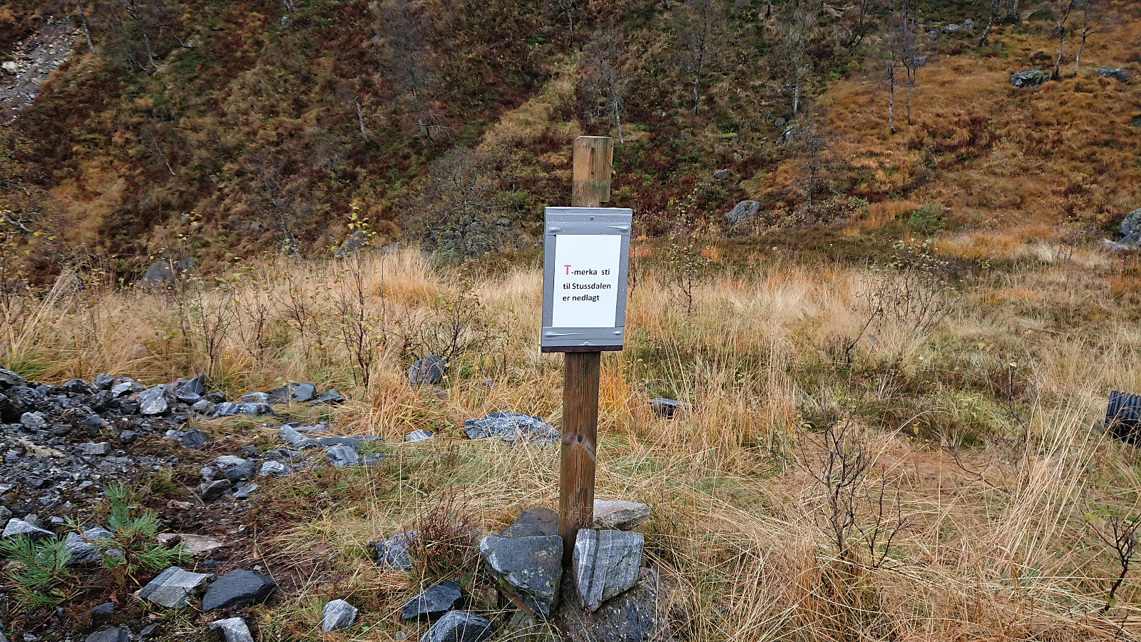

My first hike together with Endre started with us driving to Olsbotnen where we, after parking on a small parking lot/side road, were welcomed by a sign stating that "the marked trail to Stussdalen has been shut down" (Norwegian: nedlagt). I remembered seeing a similar sign in Stussdalen for the trail going in the opposite direction. But given that the sign did not say that the trail was closed, we assumed it just meant that the markings were no longer maintained, and decided to still give it a go.
After crossing the small river on an old concrete bridge, we quickly lost the trail and had to make our own way for a couple hundred meters before suddenly reconnecting with the trail. And while the trail may no longer be marked with red paint, there were still plenty of small cairns to follow and the trail itself was overall not that hard to spot.
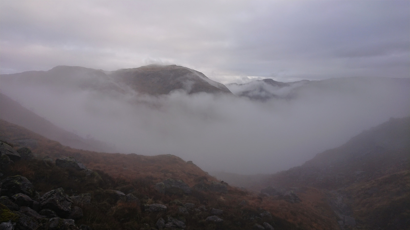
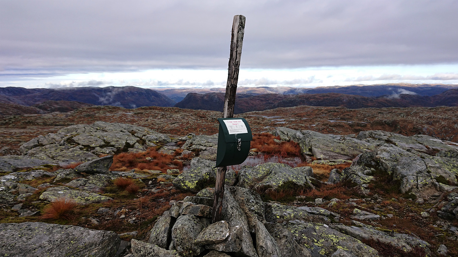
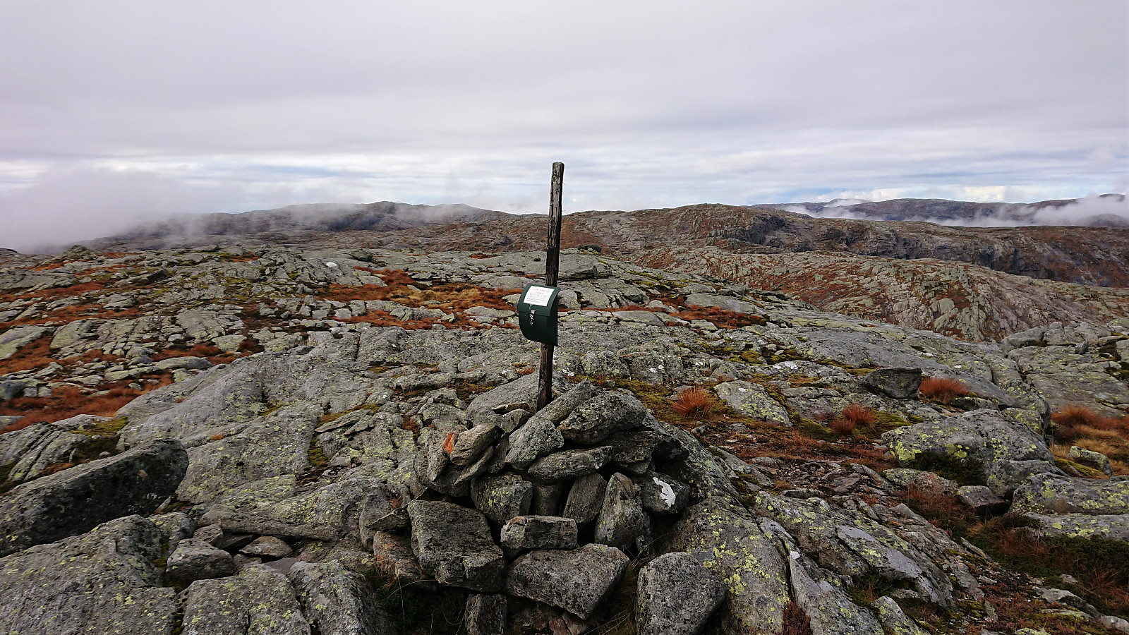
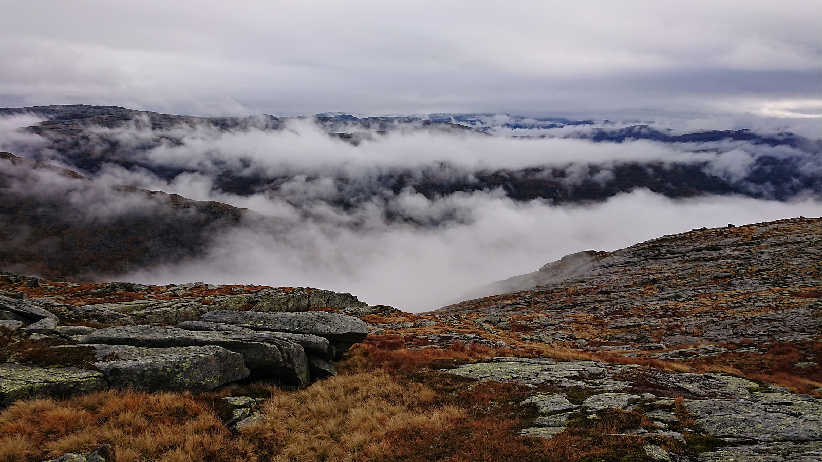
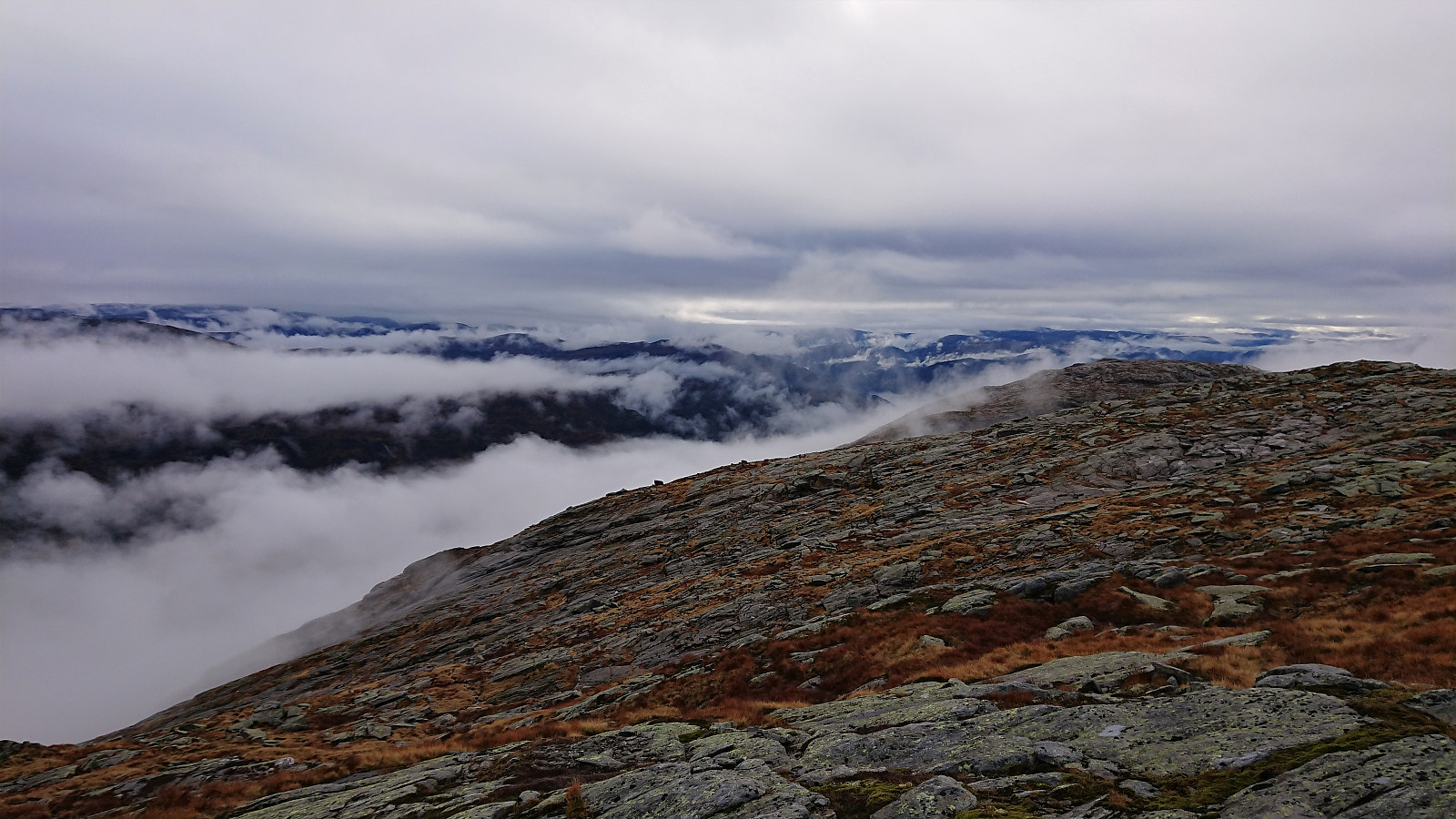
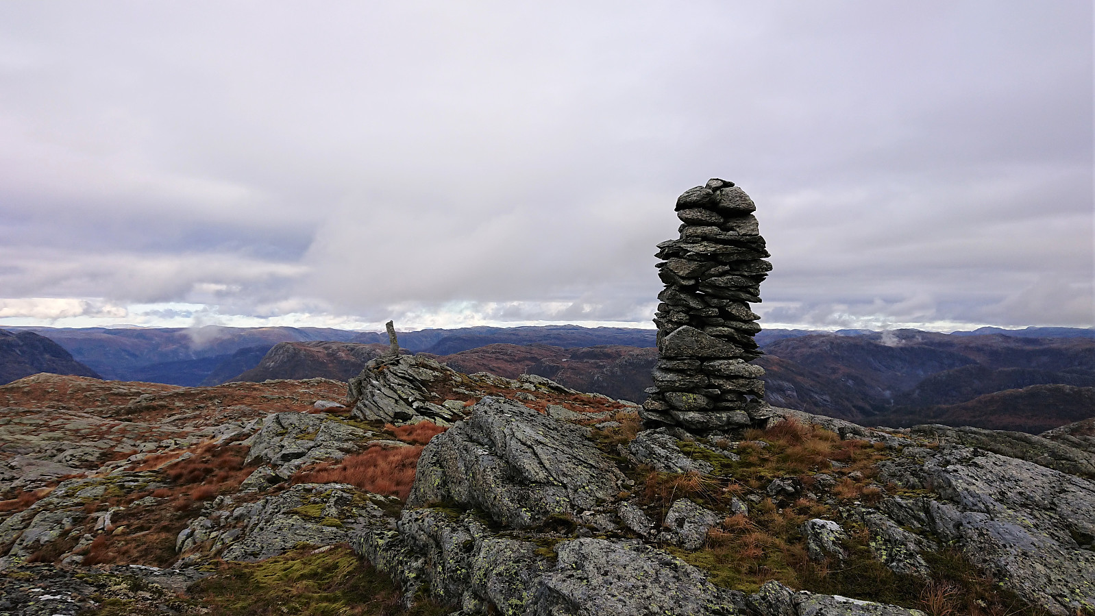
The dense fog started lifting as we turned north towards the summit of Blåfjellet, and in the end the views from the summit were much better than expected. After signing the visitor register we moved east of the summit for slightly better views back down the valley and south to Romarheimsfjorden, before turning west towards Storevarden.
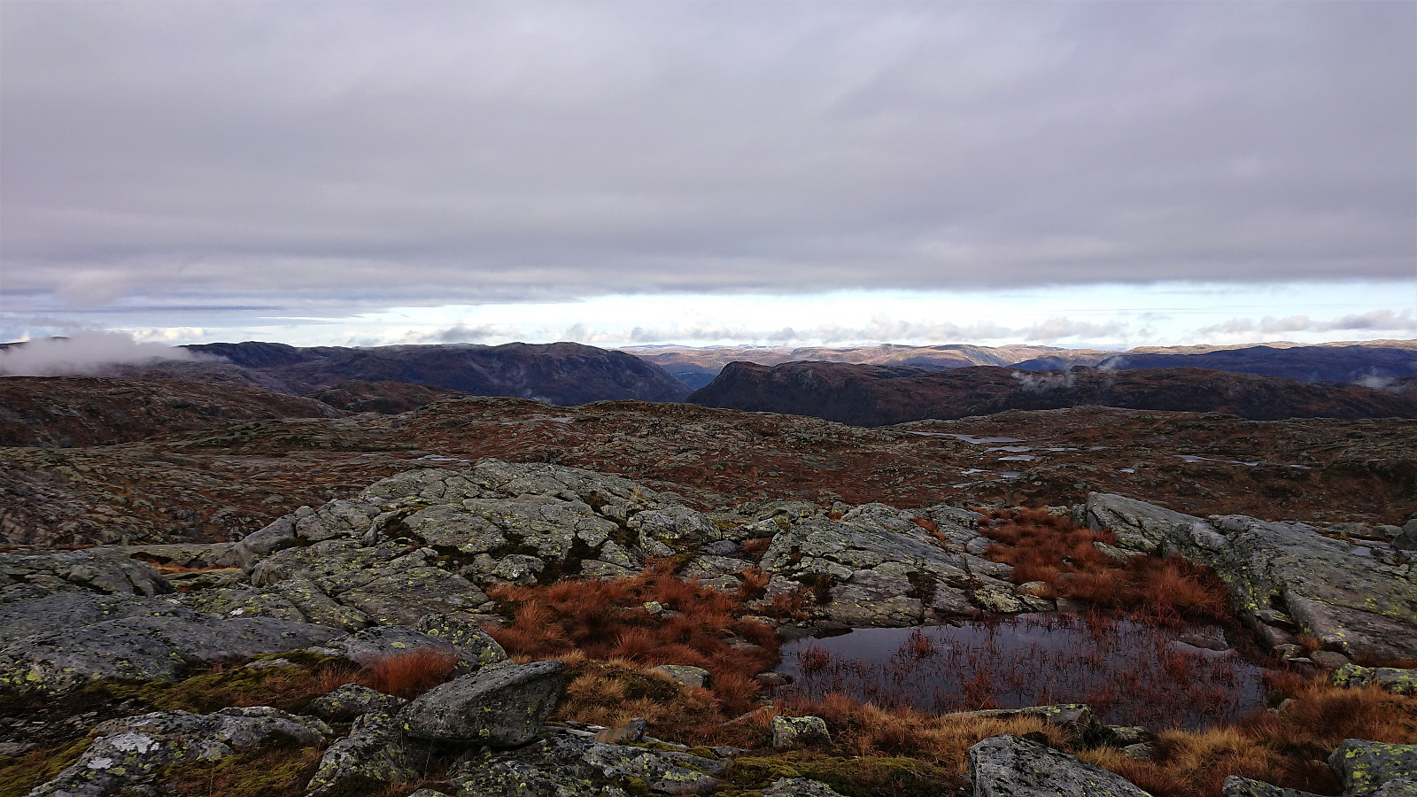
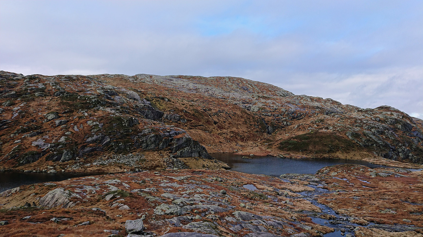
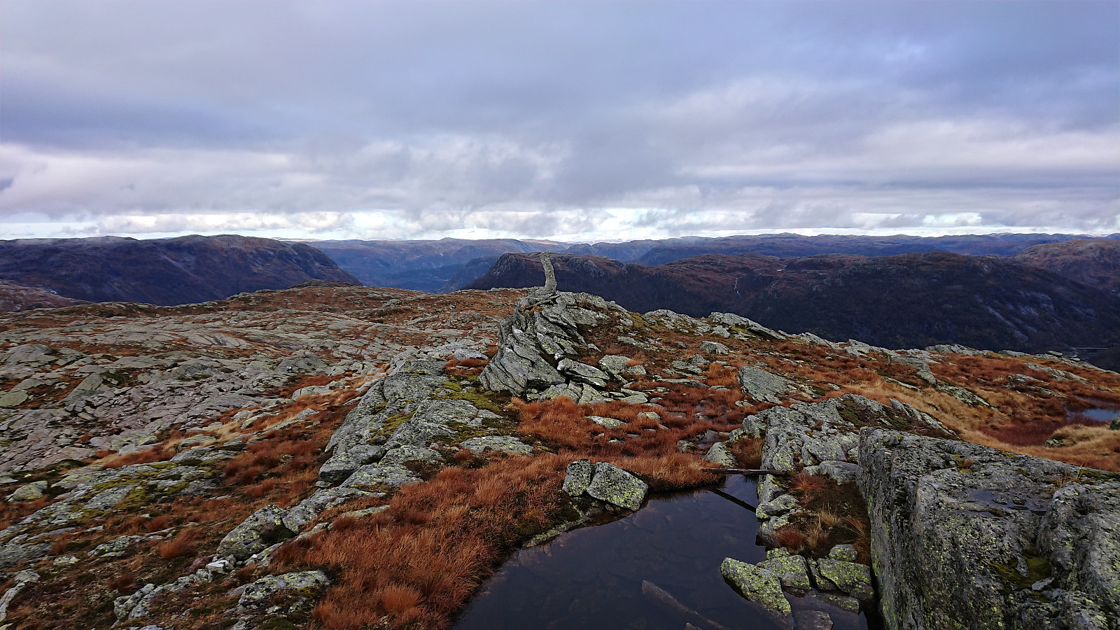
No trails from Blåfjellet to Storevarden as far as we could tell, but the route was pretty obvious and did not present any real challenges, although some very light climbing was needed at times to avoid deviating too far from our relatively direct route to the summit.
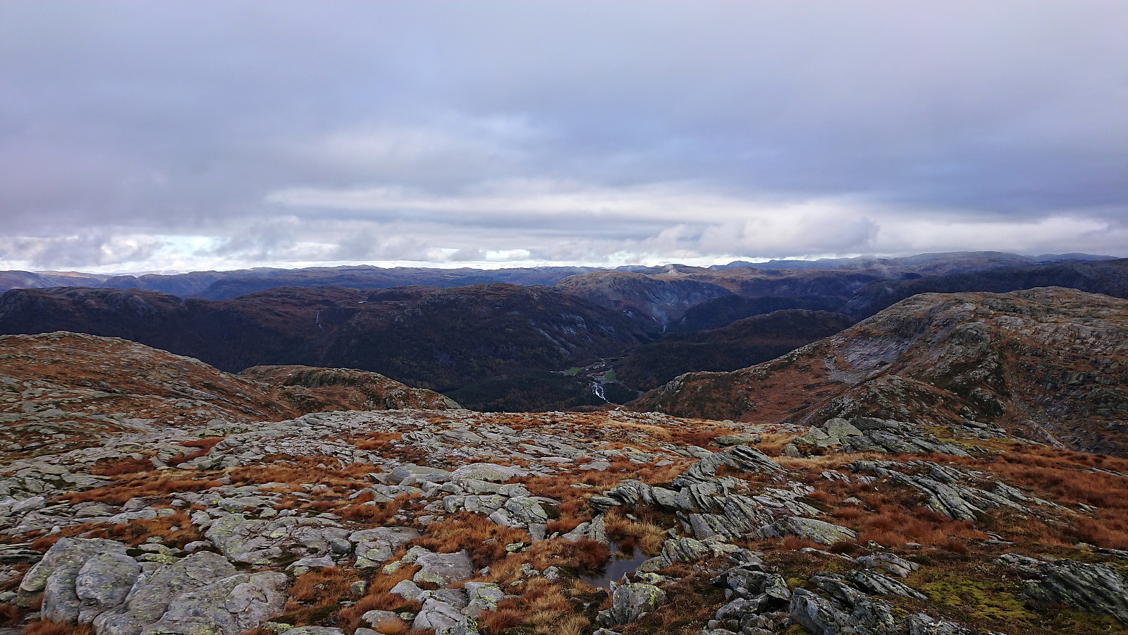
After a short break, we turned southeast and made good progress in overall easy terrain until reconnecting with the trail just west of Nipefagerskaret, where all that remained was to follow the same trail as for the ascent back to the car, now with significantly better views along the way.
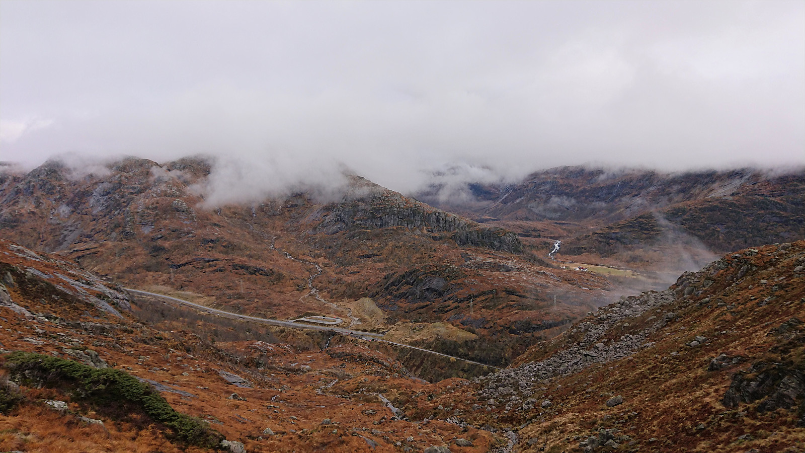
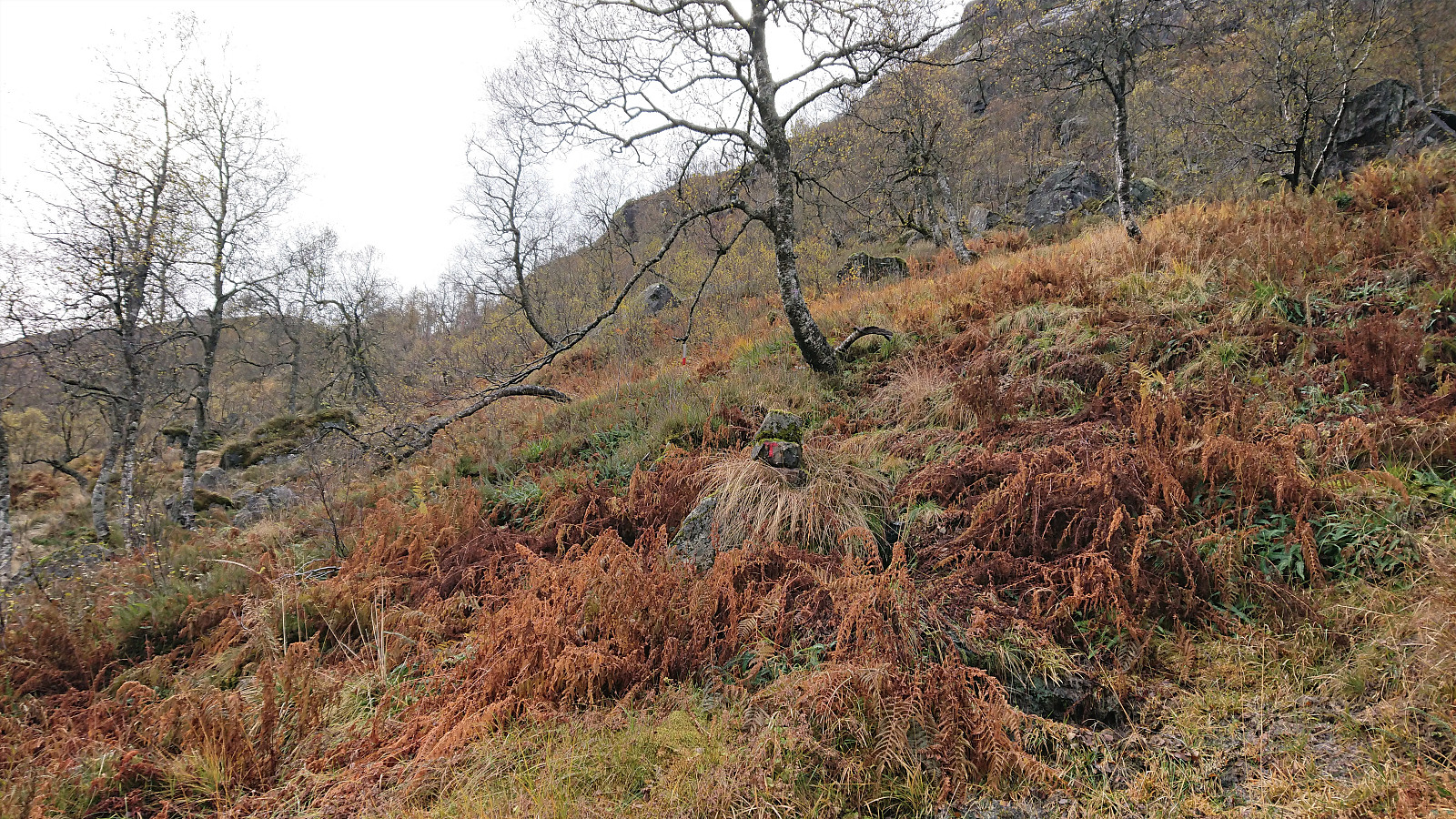
For the descent we however managed to follow the trail all the way back to the small river, even noticing a cairn with a red T and a single red wooden marker hanging on a branch that we had completely missed when starting our ascent. I guess we can blame it on the sign claiming that the trail was shut down, and that we thus were not really looking for trail markers.
In summary, a nice hike without any real difficulties despite the warning about the marked trail no longer being maintained. Takk for turen, Endre!
| Startzeitpunkt | 13.10.2019 10:44 (UTC+01:00 SZ) |
| Endzeitpunkt | 13.10.2019 14:32 (UTC+01:00 SZ) |
| Gesamtzeit | 3h 48min |
| Zeit in Bewegung | 3h 25min |
| Pausenzeit | 0h 22min |
| Gesamtschnitt | 3,4km/h |
| Bewegungsschnitt | 3,8km/h |
| Entfernung | 13,0km |
| Höhenmeter | 838m |


Benutzerkommentare