
Snøkkja (10.04.2019)

Geschrieben von hbar (Harald Barsnes)

| Startpunkt | Skåte (42m) |
|---|---|
| Endpunkt | Selsvika (9m) |
| Tourcharakter | Bergtour |
| Tourlänge | 1h 28min |
| Entfernung | 7,1km |
| Höhenmeter | 341m |
| GPS |
|
| Besteigungen | Snøkkja (282m) | 10.04.2019 |
|---|
Snøkkja
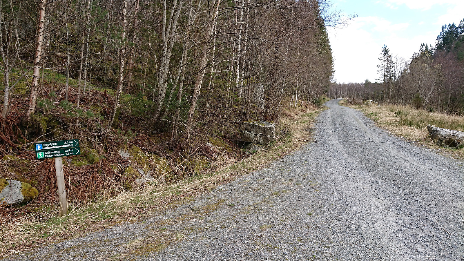
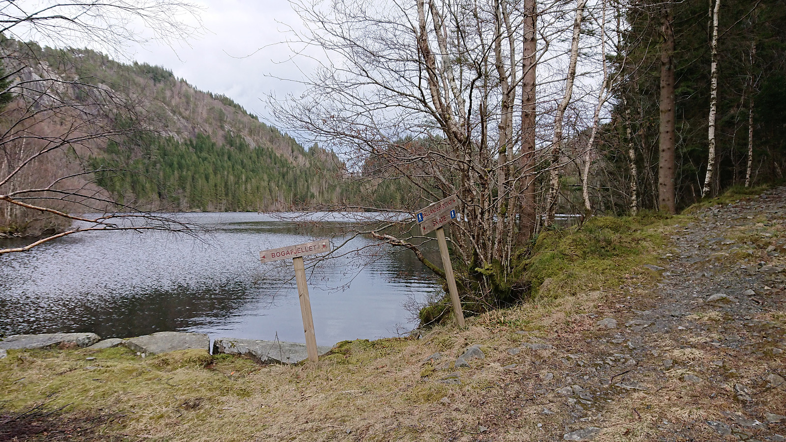
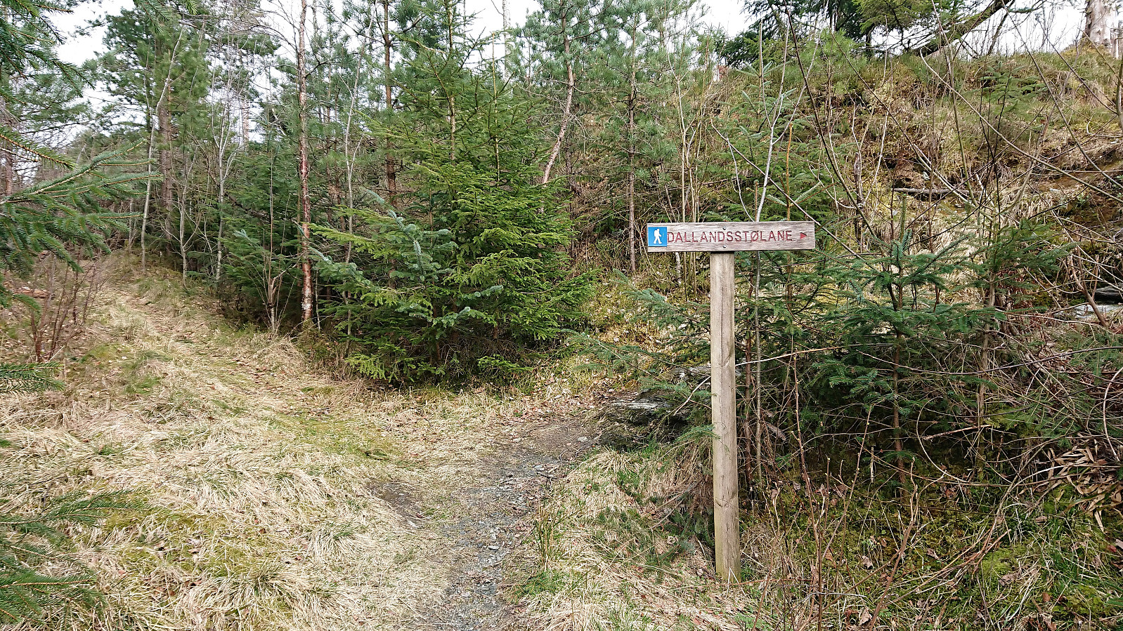
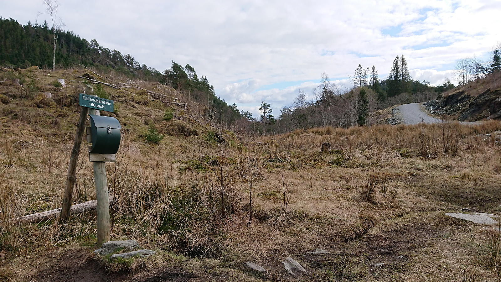
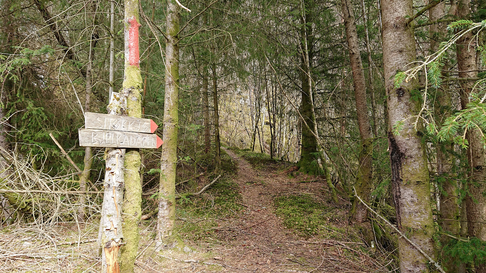
After giving a talk at a meeting at Solstrand, I took advantage of already being in Os to make a quick visit to Snøkkja. Hopped on a bus to the ferry at Hatvik, and after crossing the fjord, continued on another bus to Skåte. I then walked back along the road to the gravel road to Skåtavatnet, where the gravel road turned into a tractor road, and soon into a trail. The road/trail forked several times, and with no signs for Snøkkja (or Snøkkjo which seemed to be the local name), but there were other signs, including several for Dallandsstølane, that could be followed instead.
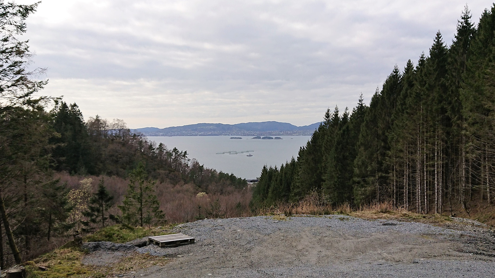
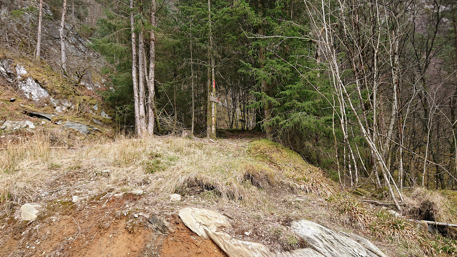
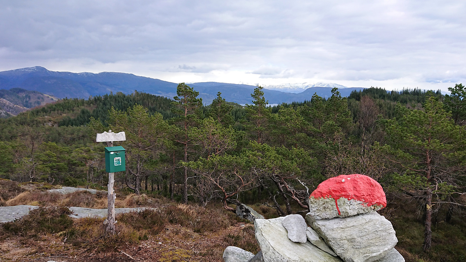
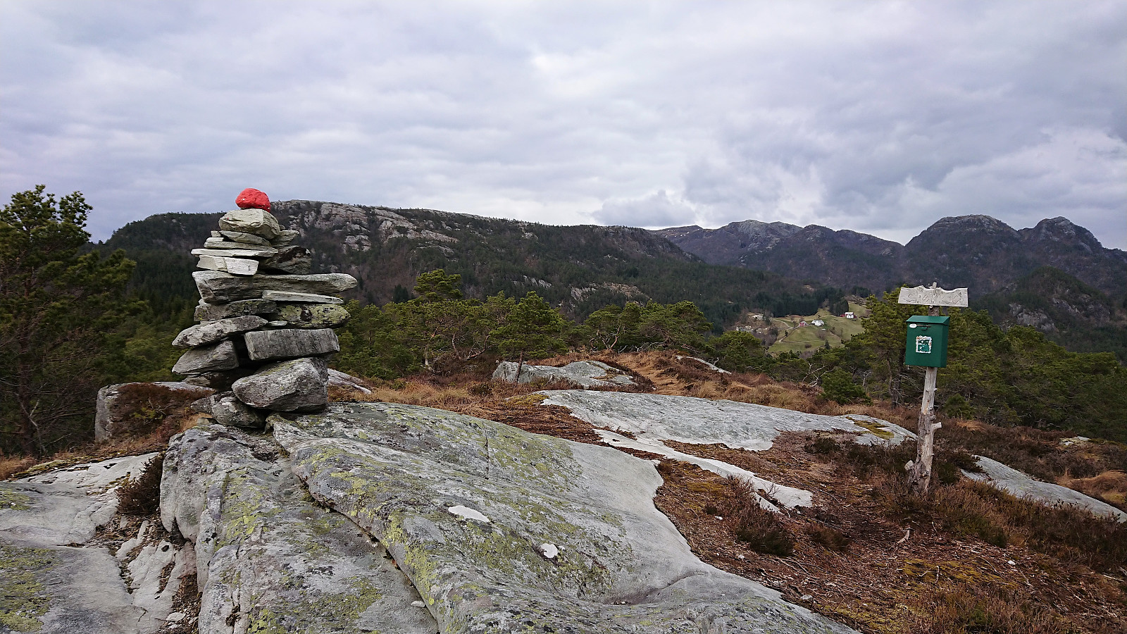
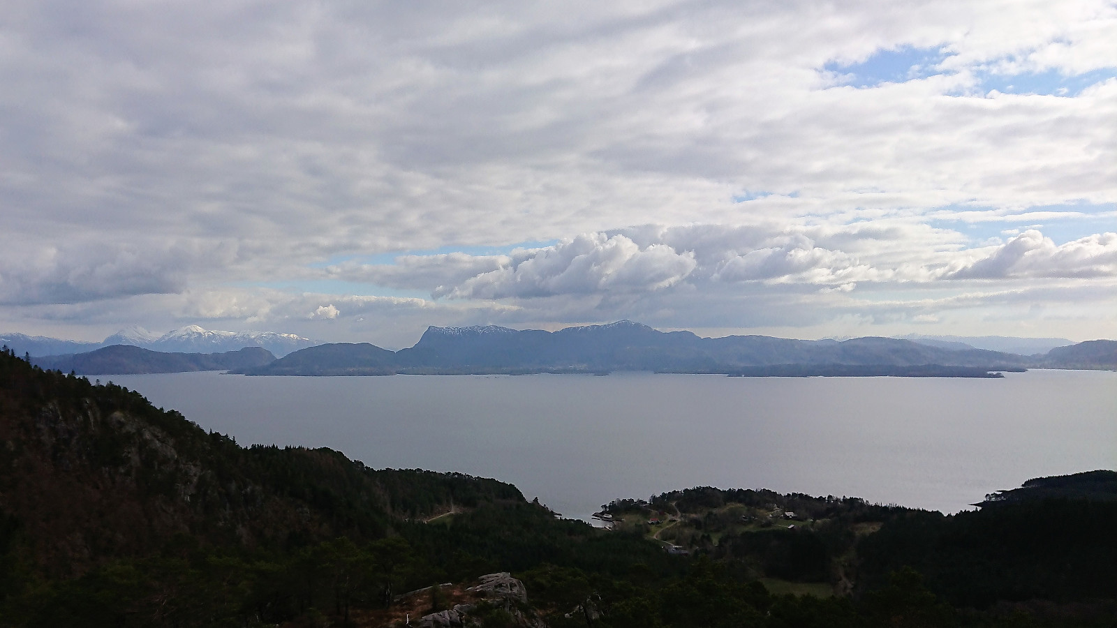
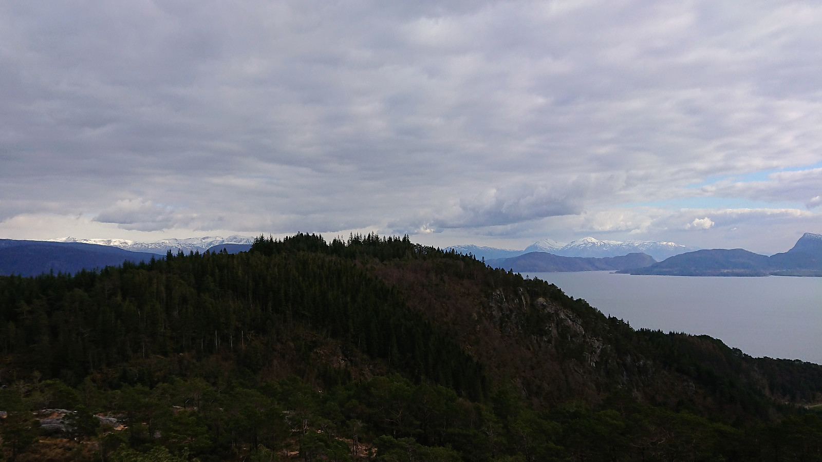
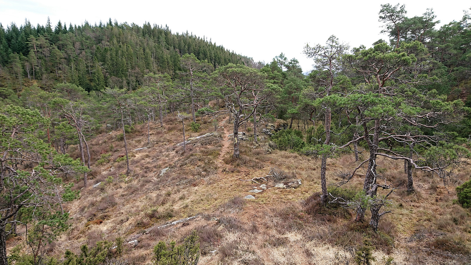
At Dallandsstølane, or rather slightly northeast of Dallandsstølane, I was again on a gravel road, which I followed all the way to the marked trailhead for Snøkkja. Note that the trail can be easy to miss if coming from the north, but from here on the trail was clearly marked with red paint all the way to the summit (even though it is not indicated on the map). The summit provided nice views, but the views were even better, at least towards the south, if continuing less than 100 meters south of the summit.
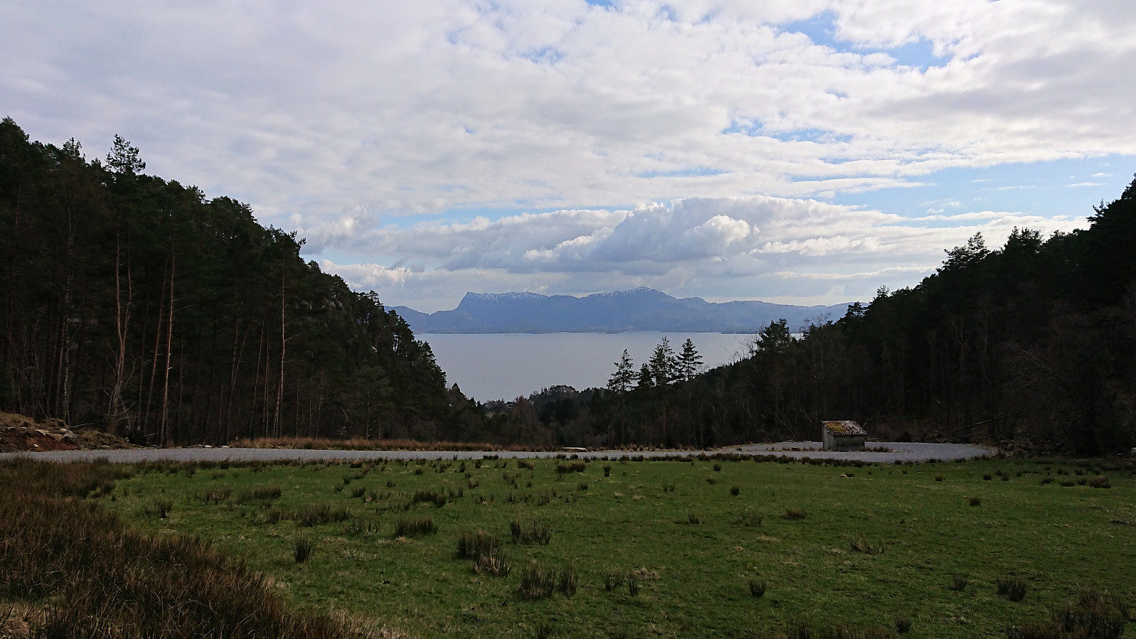
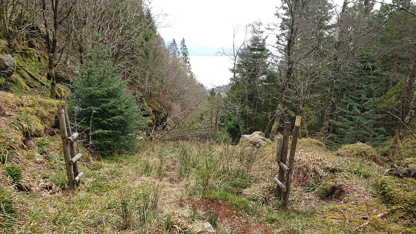
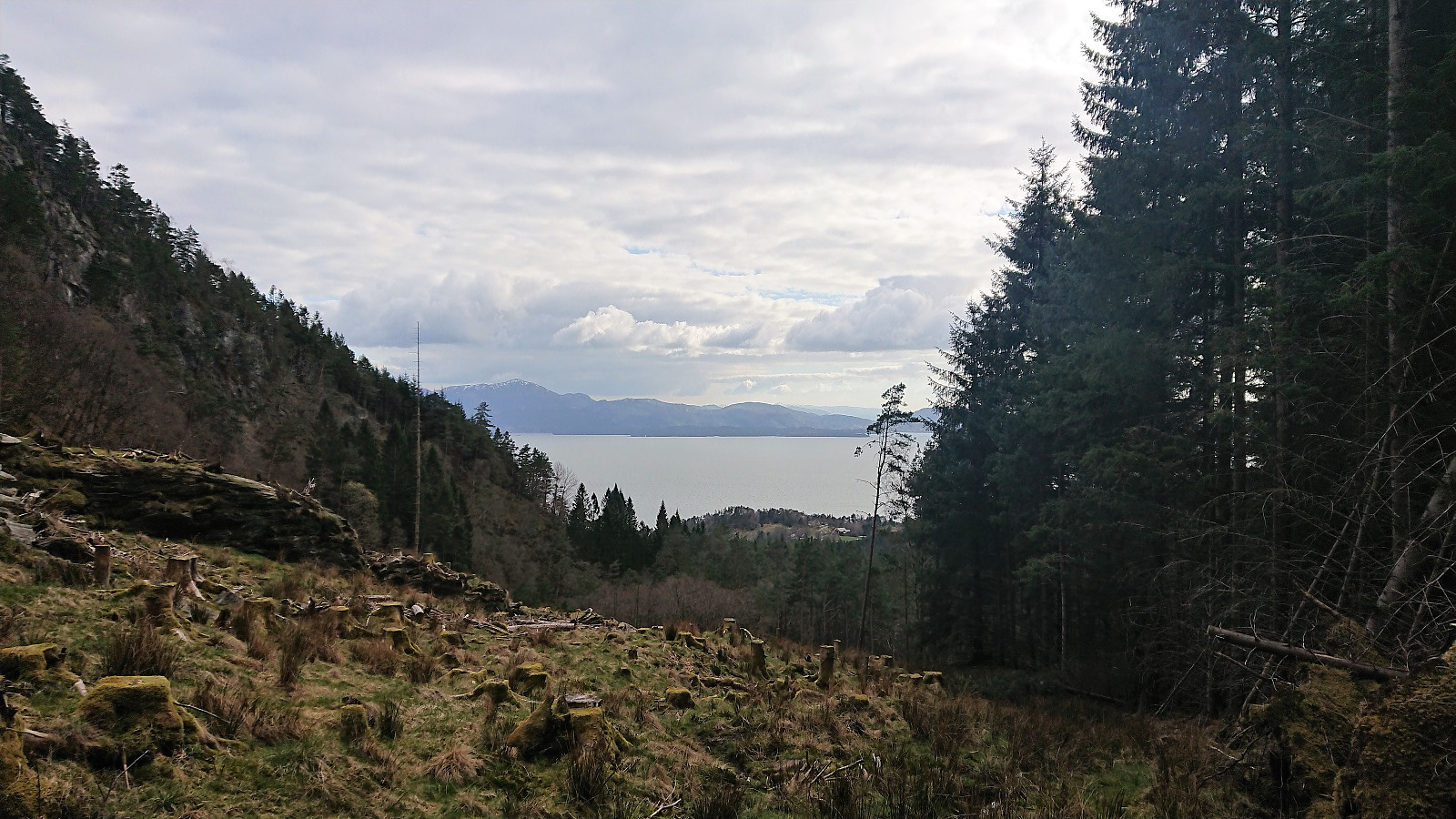
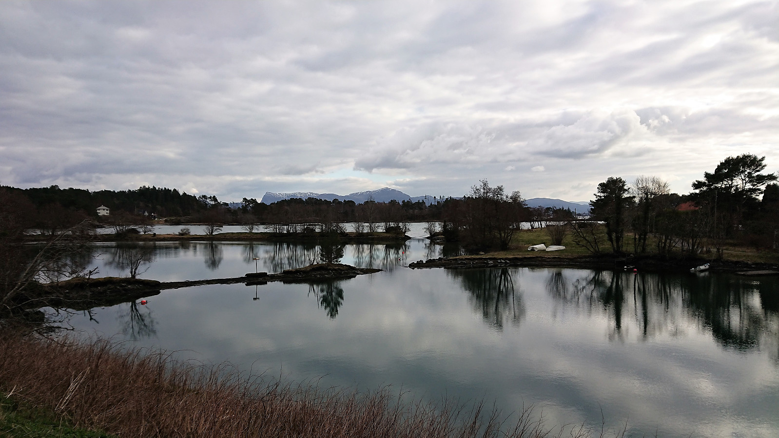
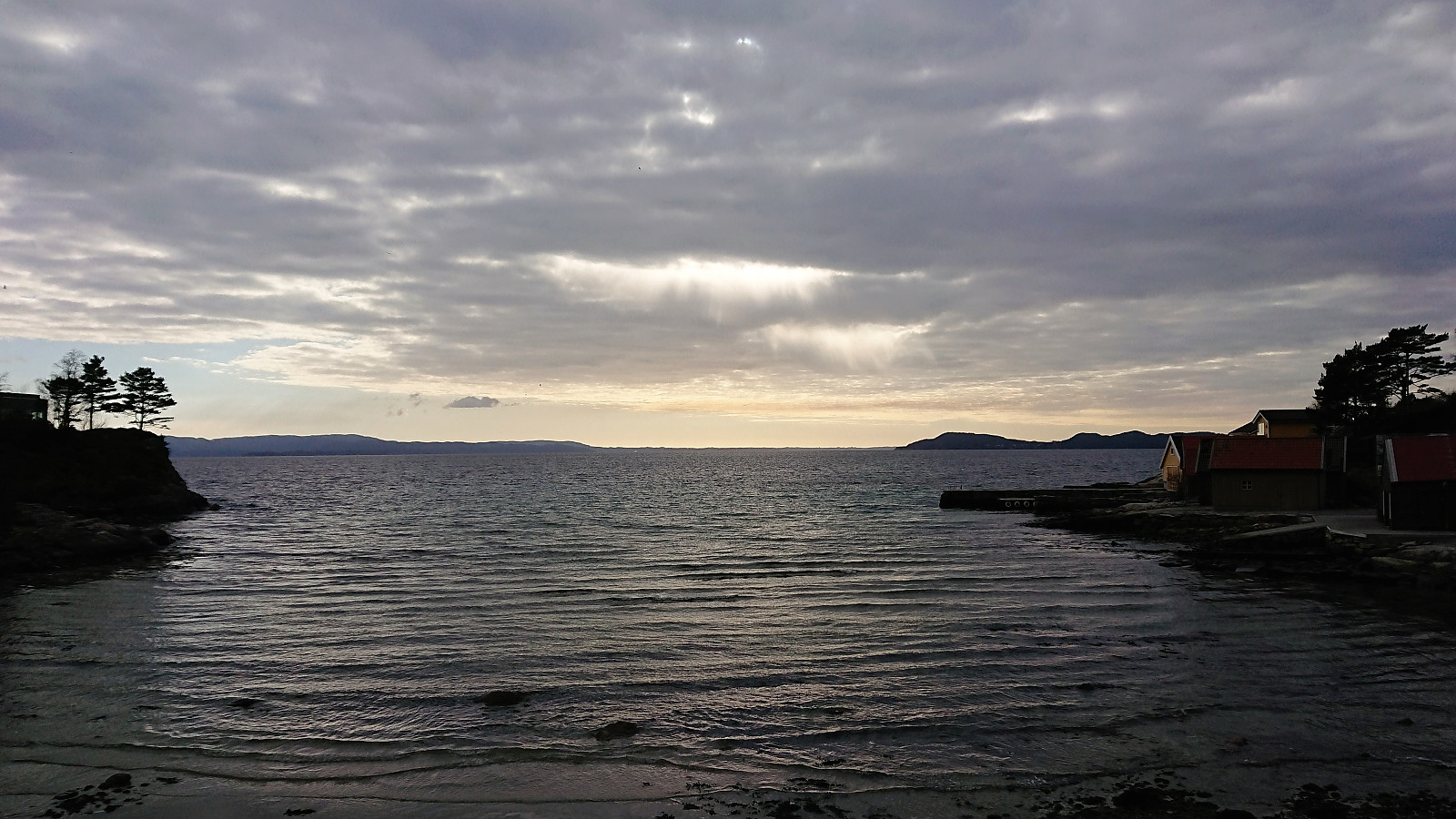
Here I came across a trail marked with yellow paint, which I assumed would take me down to Juvik, so instead of heading back the same way, I took a chance on this southern route. And sure enough, the trail led me to the tractor road indicated on the map and I soon arrived at the main road at Juvik. I still had plenty of time for the bus back to the ferry, so I started walking west along the main road, enjoying some excellent views along the way, and making it to Selsvika before finally getting on the bus.
Overall, a nice short hike with better views than expected, and with lots of alternative trails to explore if not having a bus and ferry to catch.

| Startzeitpunkt | 10.04.2019 16:16 (UTC+01:00 SZ) |
| Endzeitpunkt | 10.04.2019 17:44 (UTC+01:00 SZ) |
| Gesamtzeit | 1h 28min |
| Zeit in Bewegung | 1h 23min |
| Pausenzeit | 0h 4min |
| Gesamtschnitt | 4,8km/h |
| Bewegungsschnitt | 5,0km/h |
| Entfernung | 7,1km |
| Höhenmeter | 340m |


Benutzerkommentare