
Fureberget at Flatøy (23.03.2019)

Geschrieben von hbar (Harald Barsnes)

| Startpunkt | Knarvik (36m) |
|---|---|
| Endpunkt | Knarvik (35m) |
| Tourcharakter | Bergtour |
| Tourlänge | 0h 43min |
| Entfernung | 3,2km |
| Höhenmeter | 30m |
| GPS |
|
| Besteigungen | Fureberget (66m) | 23.03.2019 |
|---|
Fureberget at Flatøy
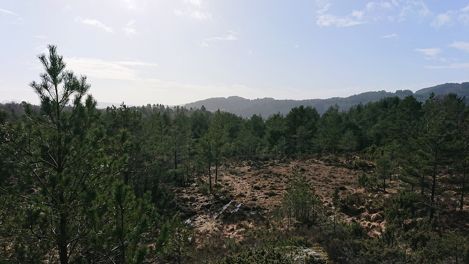
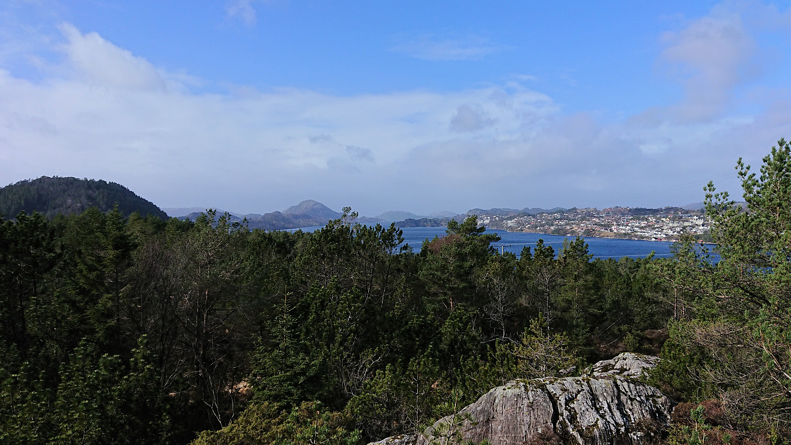
Decided to split up the bus ride to Melshovden with a short visit to Fureberget at Flatøy. The plan was to get off the bus before crossing the bridge to Knarvik, but for some reason the bus driver ignored my signal and I thus had to re-cross the bridge to get to the trailhead for Fureberget. The trail indicated on the map seemed to be most heavily used by off-road vehicles, probably used to perform maintenance on the antenna at the summit, resulting in rather wet tracks that could be followed all the way to the summit. As expected, the summit did not provide the best of views, and I did not stay long before returning to Knarvik and the next part of the bus ride to Melshovden. Note that the trail, or rather gravel road, toward Skjeljevikane looked much better, so perhaps a route to explore at a different occasion.


| Startzeitpunkt | 23.03.2019 13:43 (UTC+01:00) |
| Endzeitpunkt | 23.03.2019 14:27 (UTC+01:00) |
| Gesamtzeit | 0h 43min |
| Zeit in Bewegung | 0h 41min |
| Pausenzeit | 0h 2min |
| Gesamtschnitt | 4,4km/h |
| Bewegungsschnitt | 4,7km/h |
| Entfernung | 3,2km |
| Höhenmeter | 124m |
Note: Hagelsundsbroen is missing due to height recalculation. I did not swim across Hagelsundet. ;)


Benutzerkommentare