
Across Vidden from Fløyen to Grøvlevatnet (02.02.2019)

Geschrieben von hbar (Harald Barsnes)

| Startpunkt | Fløyen stasjon (311m) |
|---|---|
| Endpunkt | Haukelandsveien (42m) |
| Tourcharakter | Tourenskilauf |
| Tourlänge | 6h 00min |
| Entfernung | 22,2km |
| Höhenmeter | 803m |
| GPS |
|
| Besteigungen | Byfjellenes høyeste punkt (674m) | 02.02.2019 |
|---|---|---|
| Hauggjelsvarden (673m) | 02.02.2019 | |
| Rundemanen (568m) | 02.02.2019 | |
| Vardegga (637m) | 02.02.2019 | |
| Besuche anderer PBE | Alfjellet (630m) | 02.02.2019 |
| Brushytten (412m) | 02.02.2019 | |
| Eidsvågshytten (452m) | 02.02.2019 | |
| Fløibanen (13m) | 02.02.2019 | |
| Fløyen stasjon (313m) | 02.02.2019 | |
| Nødkjelke, Hyttelien (446m) | 02.02.2019 | |
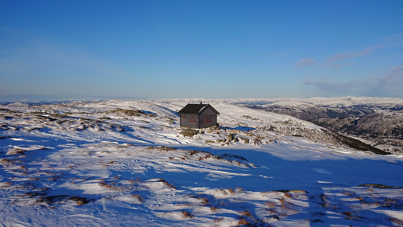
| Skjulet (653m) | 02.02.2019 | |
| Valhal (645m) | 02.02.2019 |
Across Vidden from Fløyen to Grøvlevatnet


Started from the upper station of Fløibanen and from there followed the usual skiing route to Rundemanen. Although there had been some new snow since my last visit, there actually seemed to be even less snow at Rundemanen, and the skis had to come off to reach the summit. I did manage to ski down Hyttelien and up to Øvre Jordalsvatnet, but also here there seemed to be even less snow than one week earlier.
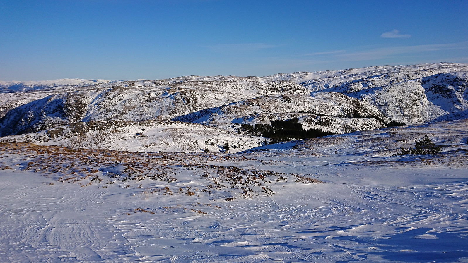
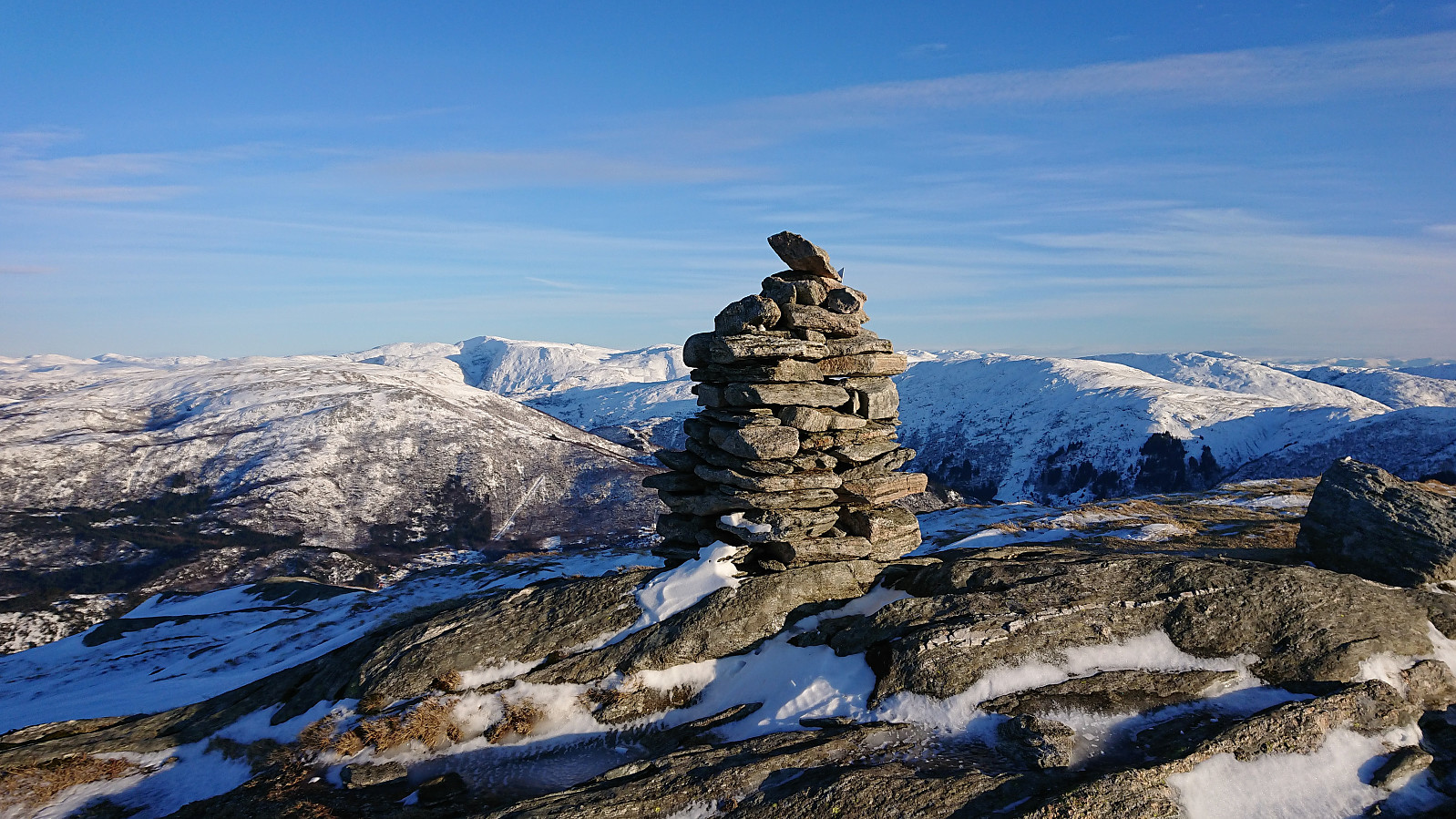
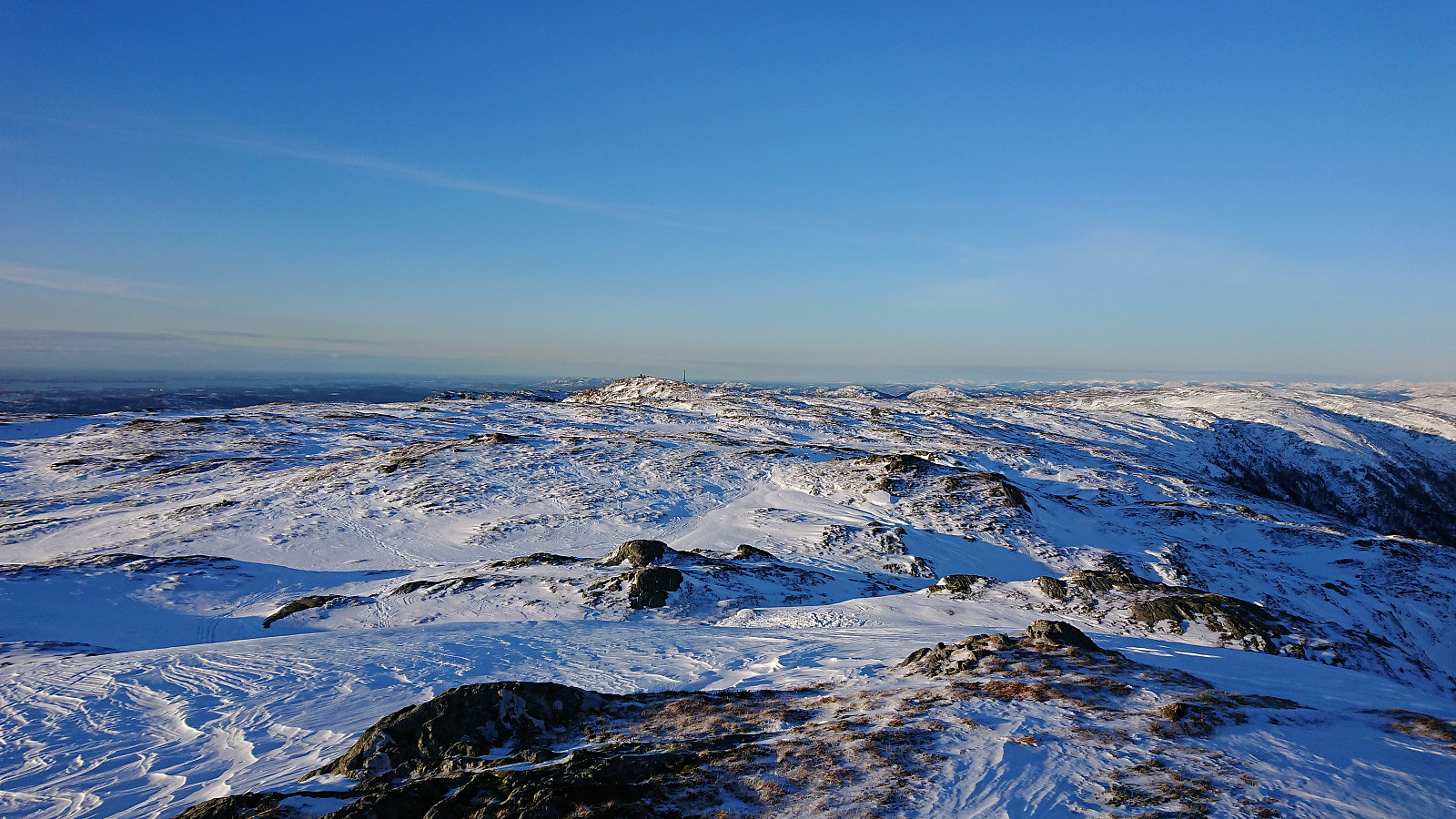
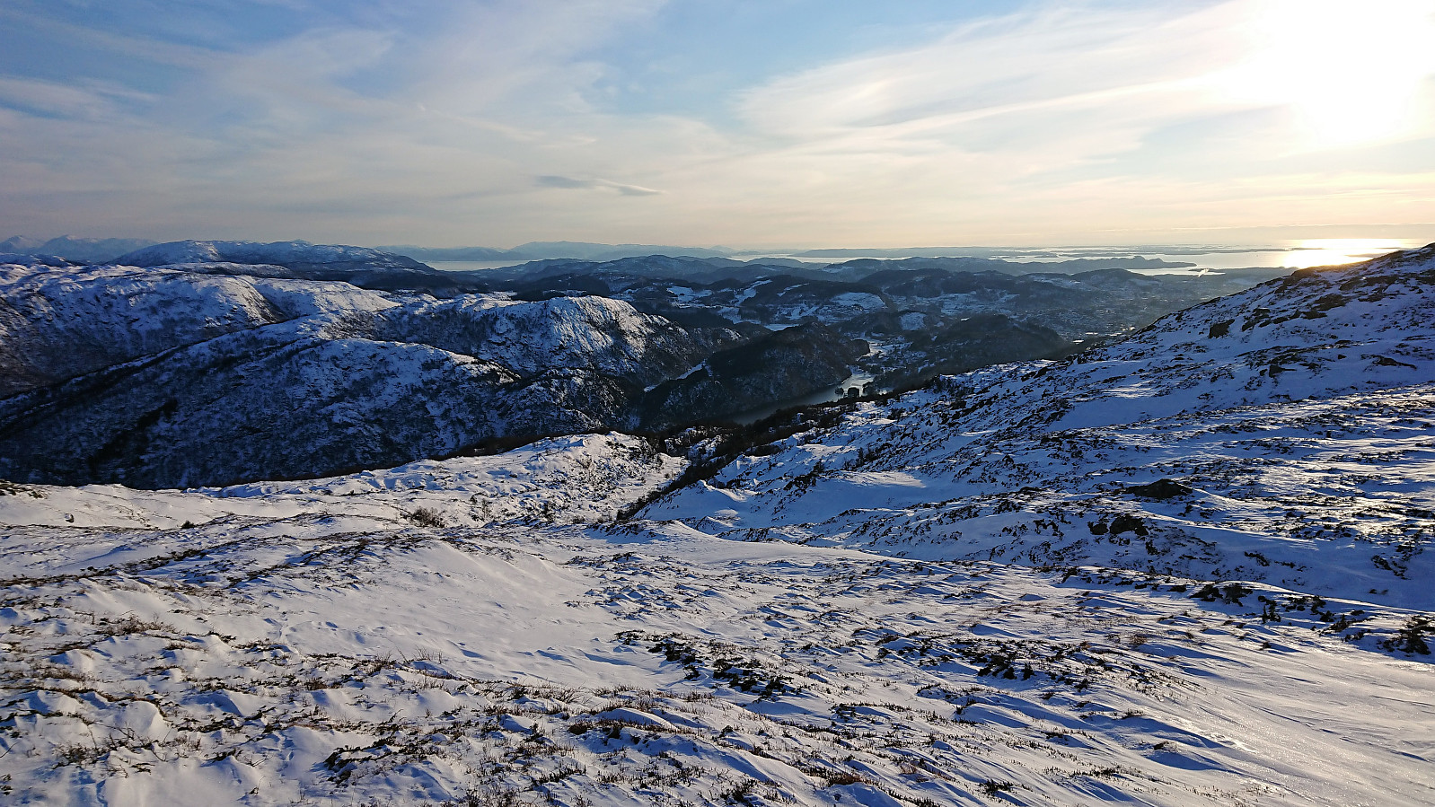
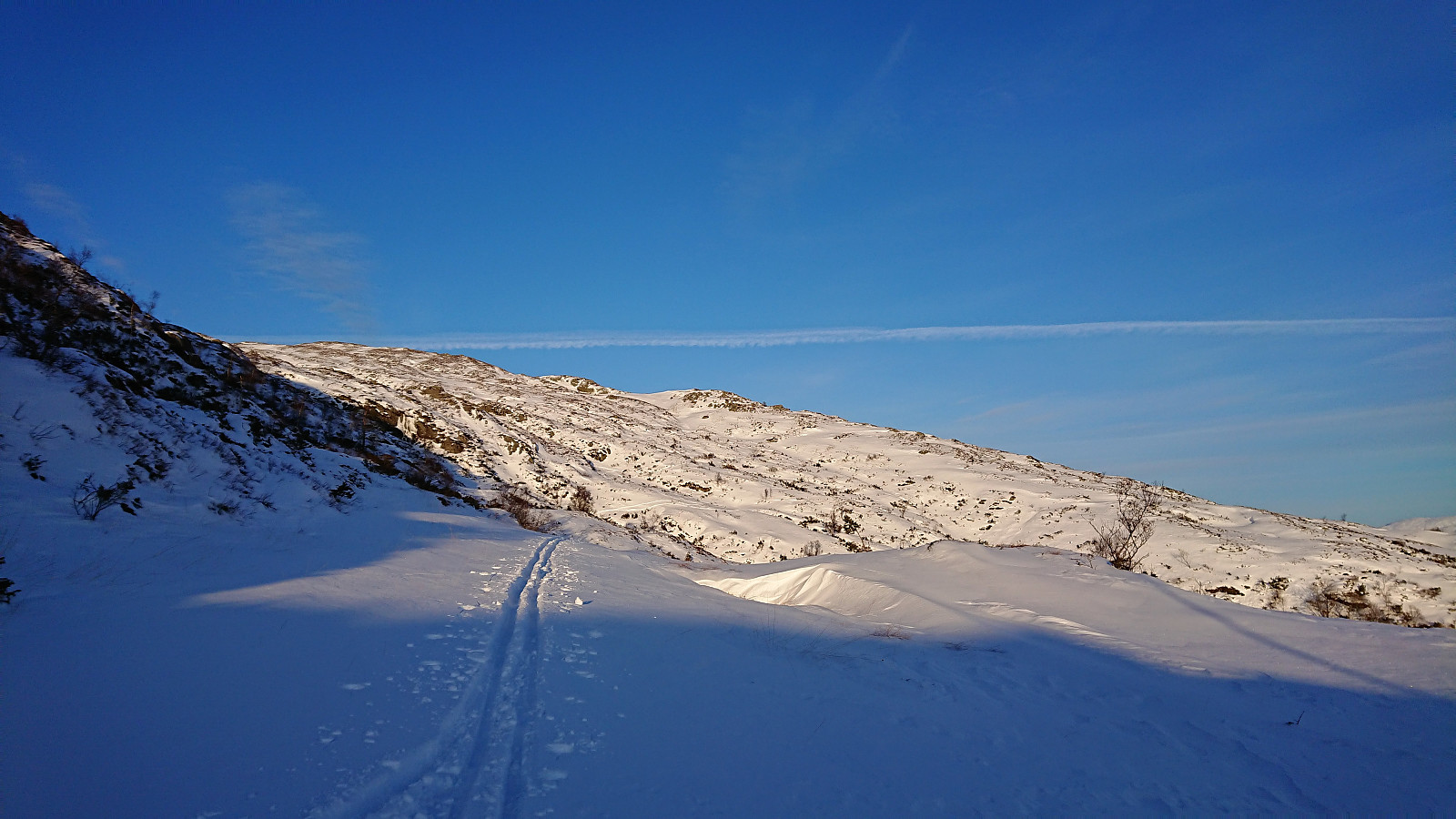
From Øvre Jordalsvatnet I followed the skiing route up the valley to east of the main trail across Vidden. A bit more snow here, but a lot more was needed here as well. Upon reaching the plateau, the conditions were overall ok, but also here mixed with shorter sections with either very little snow or with more ice than snow. (The latter was in particular the case for the area around Hauggjelsvarden.)
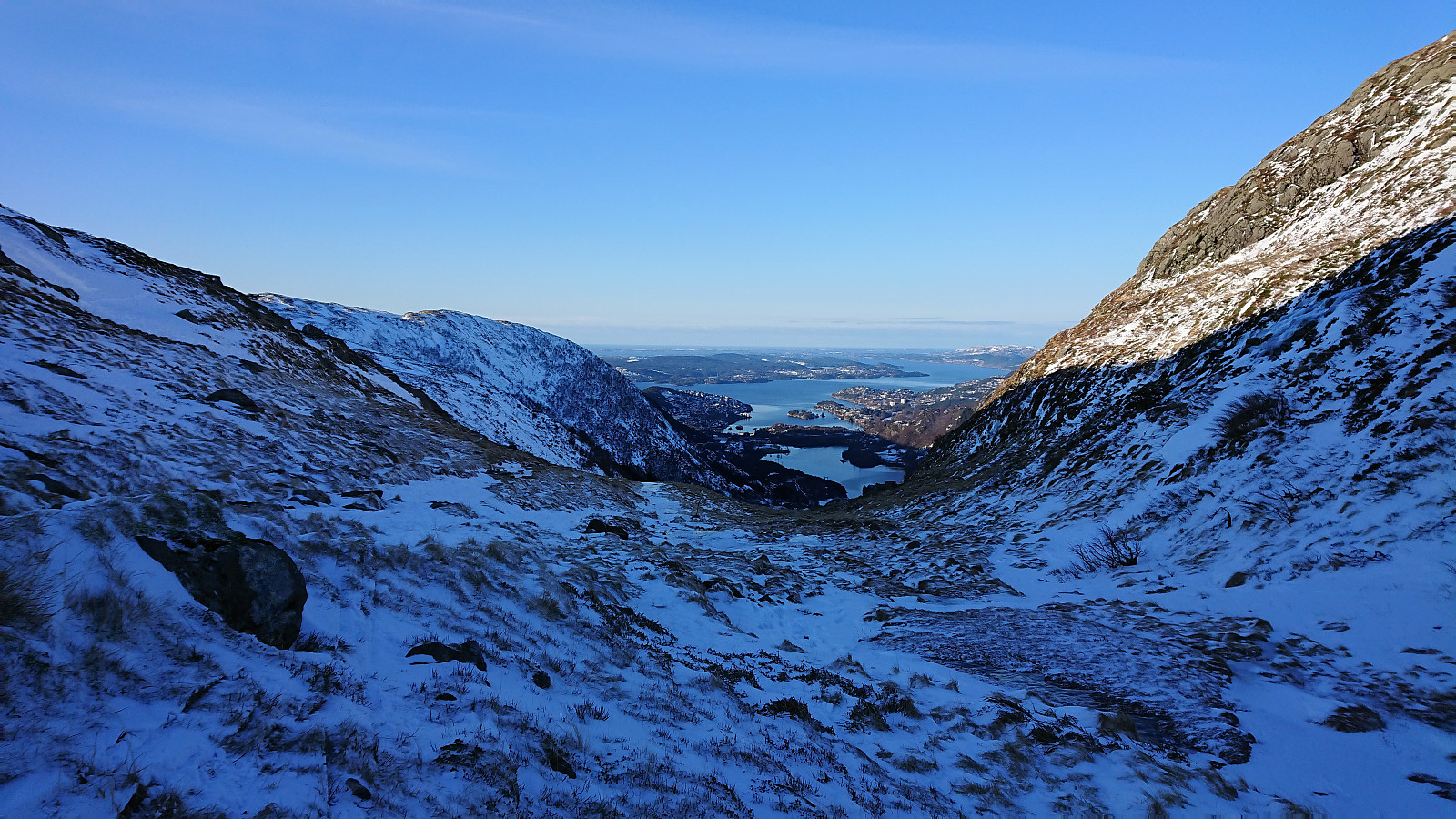
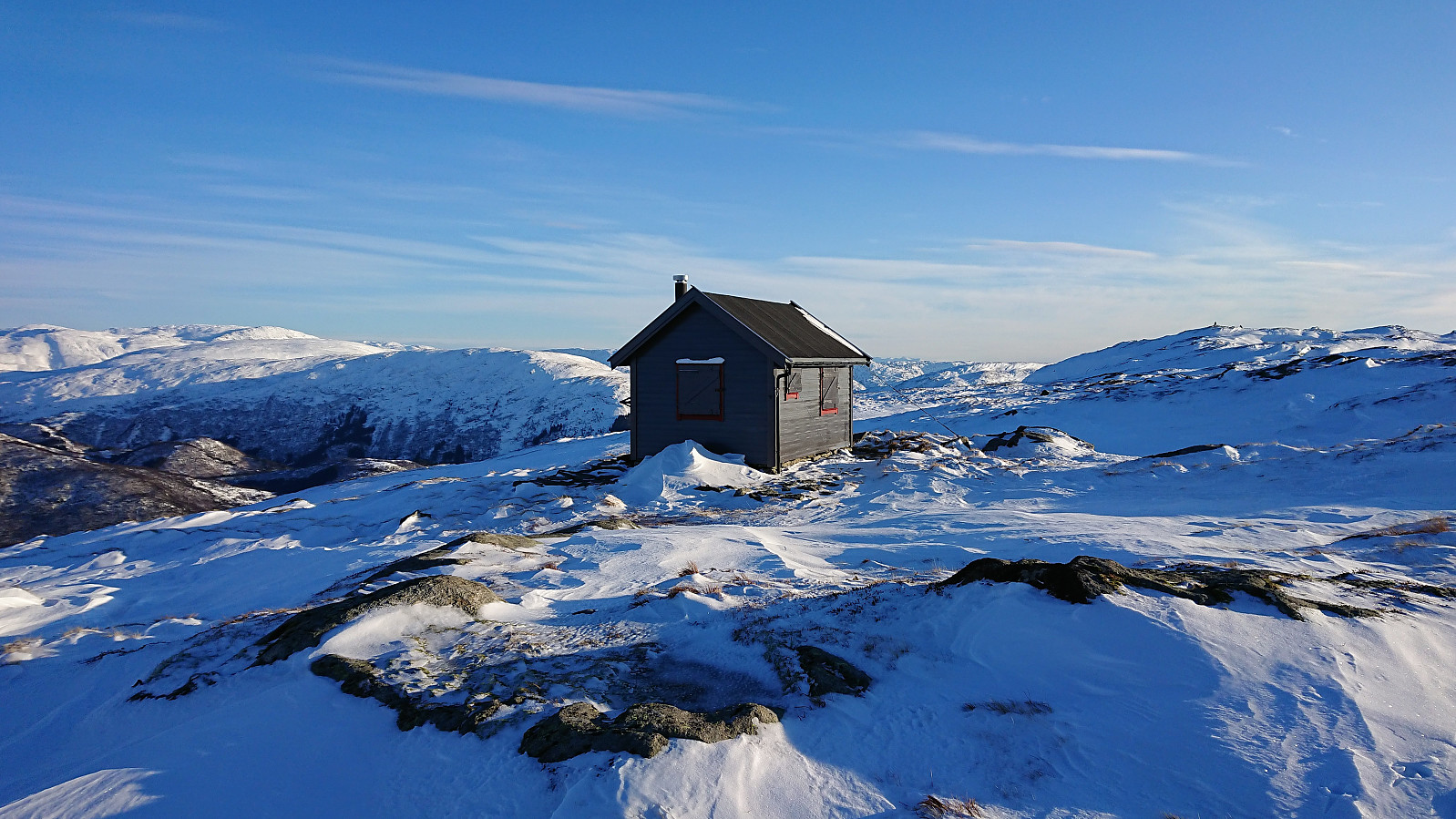
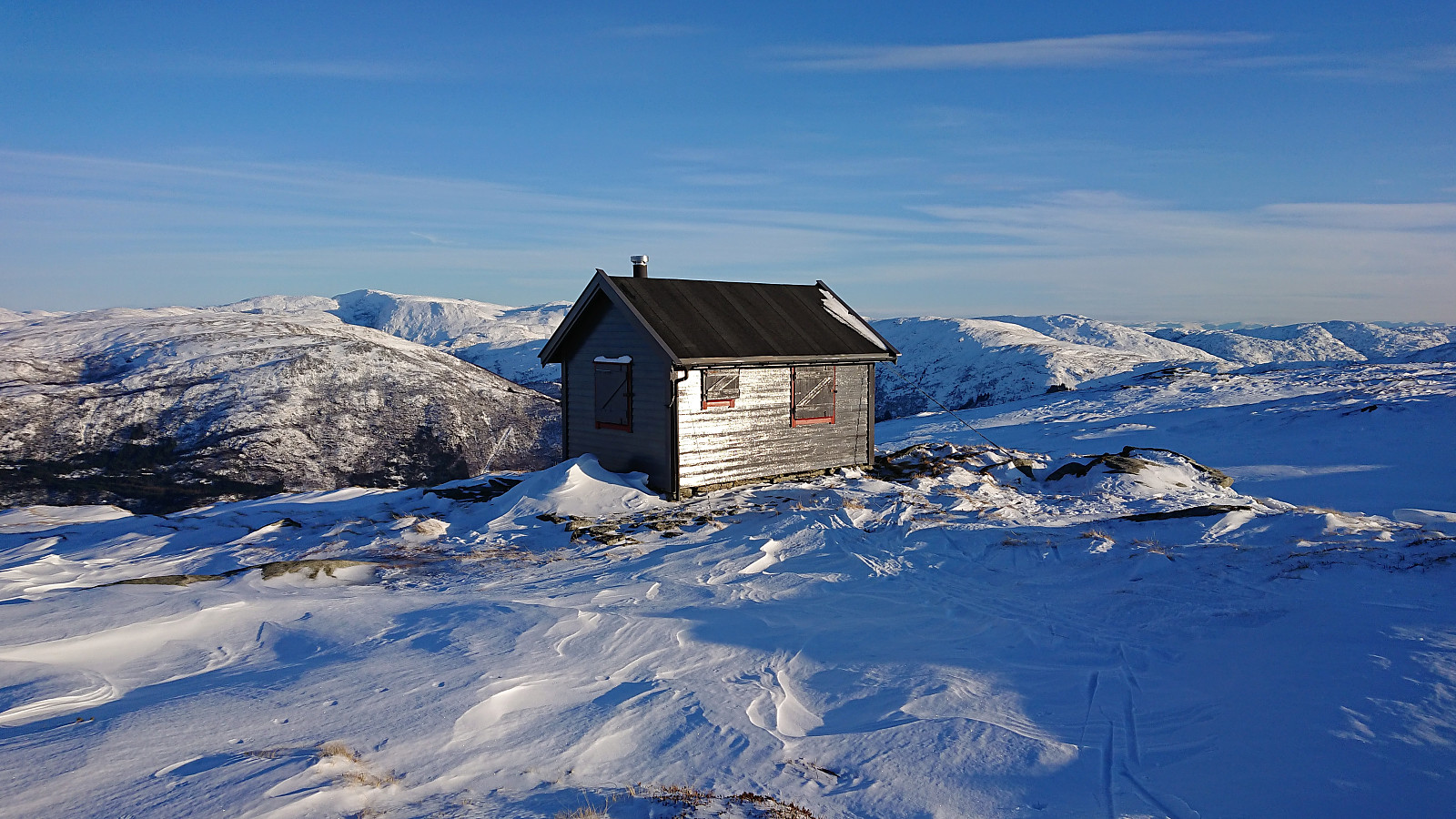
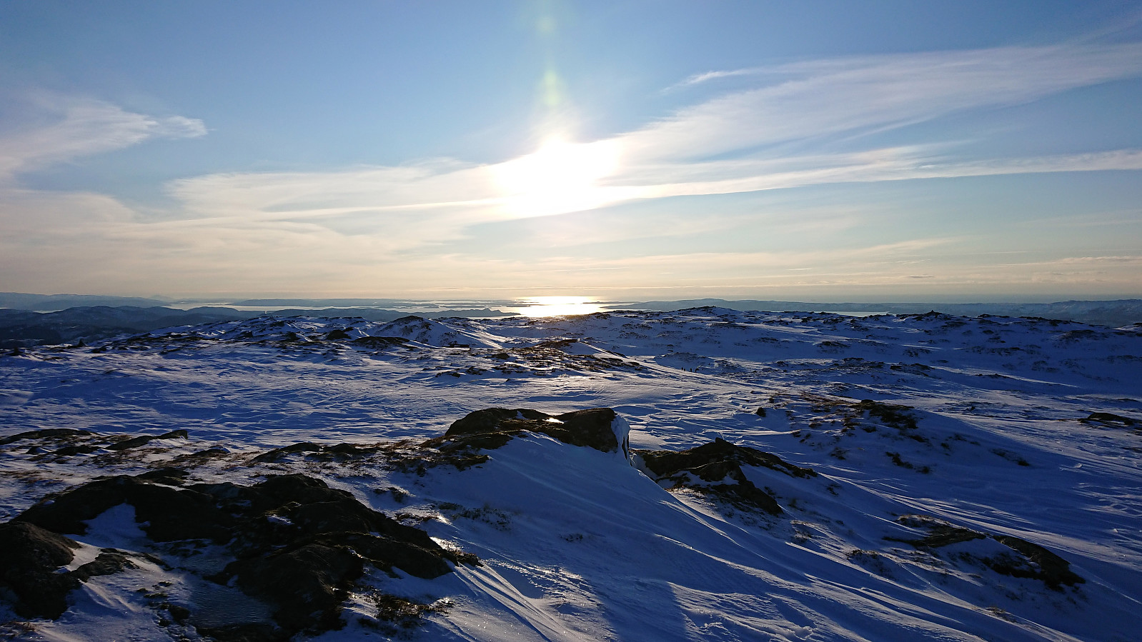
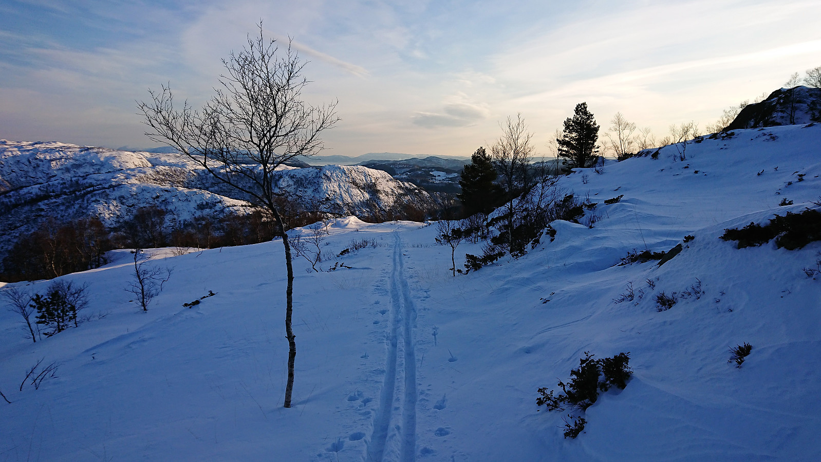
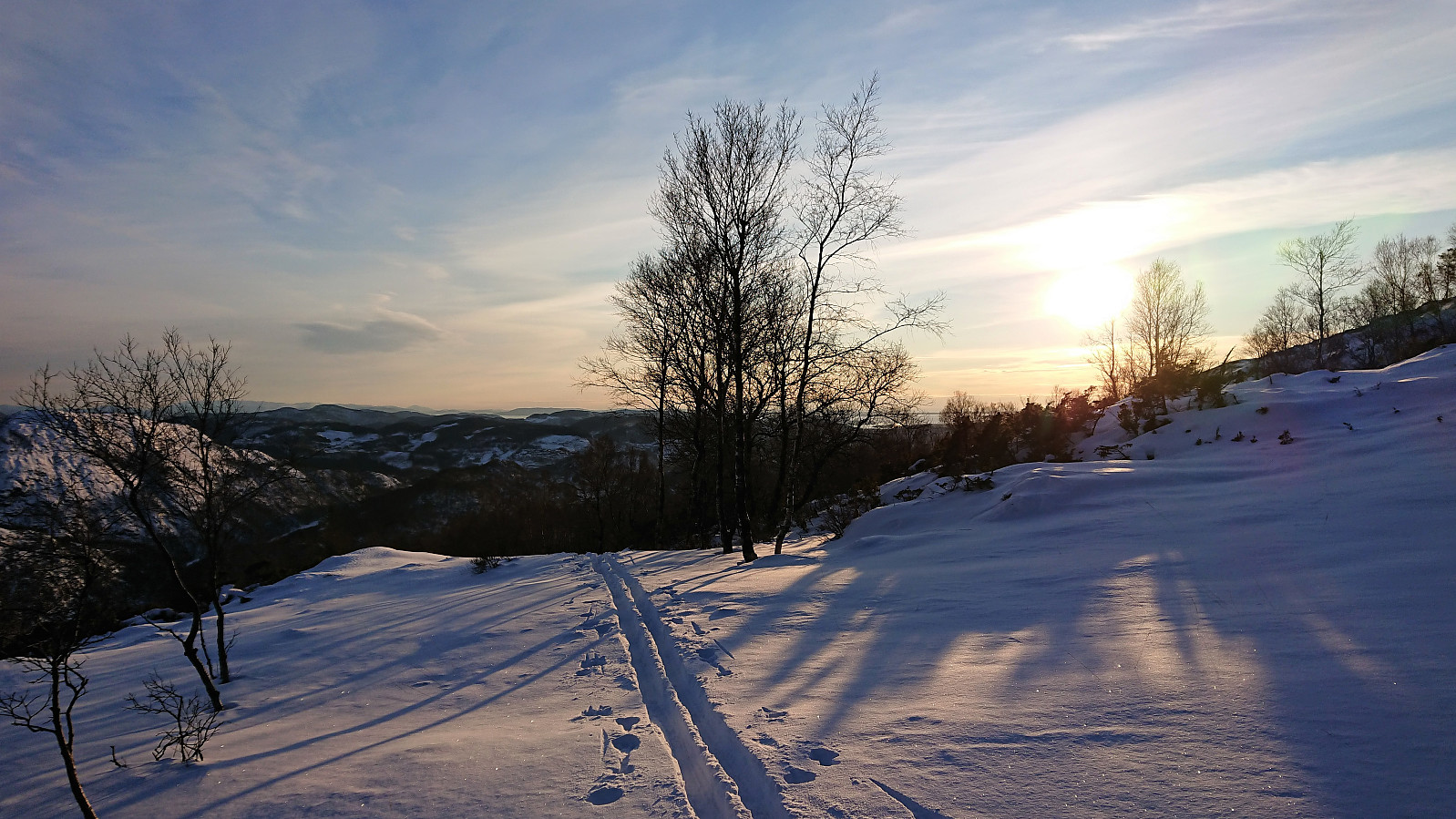
After first visiting Skjulet, and then a short visit of the highest point at Byfjellene, I headed for the descent to Grøvlevatnet, hoping there would be enough snow to make it an enjoyable experience. But this was far from the case for the upper part of the valley, and I had to struggle a bit to find a good route. However, as soon as I turned west crossing the gorge above Fossekrærne this all changed. Suddenly there was 10-15 cm of powder, which lasted all the way to Grøvlevatnet, thus greatly enhancing the final part of the descent!
After crossing in between Nordre and Søndre Grøvlevatnet all that remained was the rather boring stage to Lægdene. Today made especially boring given that the conditions where not good for skiing, which resulted in having to carry the skis for long periods.
The skis came back on after passing east of Baunehytten and was kept on until reaching the start of Oppstemten. It would probably have been possible to continue skiing all the way down to the parking lot above Montana, but with all the people hiking, and the occasional rock peaking up through the snow, I figured it was better to walk.
The trip was concluded by walking down to Haukelandsveien for the bus back home. In summary, a nice trip in excellent weather conditions but that would clearly have benefitted from there being significantly more snow.
| Startzeitpunkt | 02.02.2019 11:16 (UTC+01:00) |
| Endzeitpunkt | 02.02.2019 17:17 (UTC+01:00) |
| Gesamtzeit | 6h 00min |
| Zeit in Bewegung | 5h 18min |
| Pausenzeit | 0h 42min |
| Gesamtschnitt | 3,7km/h |
| Bewegungsschnitt | 4,2km/h |
| Entfernung | 22,2km |
| Höhenmeter | 803m |


Benutzerkommentare