
Stongfjellet from Lonevåg (09.08.2018)

Geschrieben von hbar (Harald Barsnes)

| Startpunkt | Hatland skulesenter (45m) |
|---|---|
| Endpunkt | Lonevåg terminal (2m) |
| Tourcharakter | Bergtour |
| Tourlänge | 3h 43min |
| Entfernung | 14,6km |
| Höhenmeter | 764m |
| GPS |
|
| Besteigungen | Stongfjellet (640m) | 09.08.2018 |
|---|---|---|
| Besuche anderer PBE | Stongfjellet utsiktspunkt (591m) | 09.08.2018 |
Stongfjellet from Lonevåg
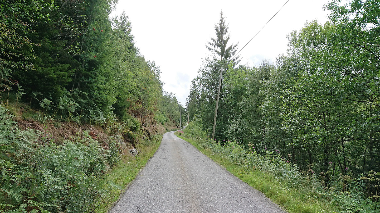
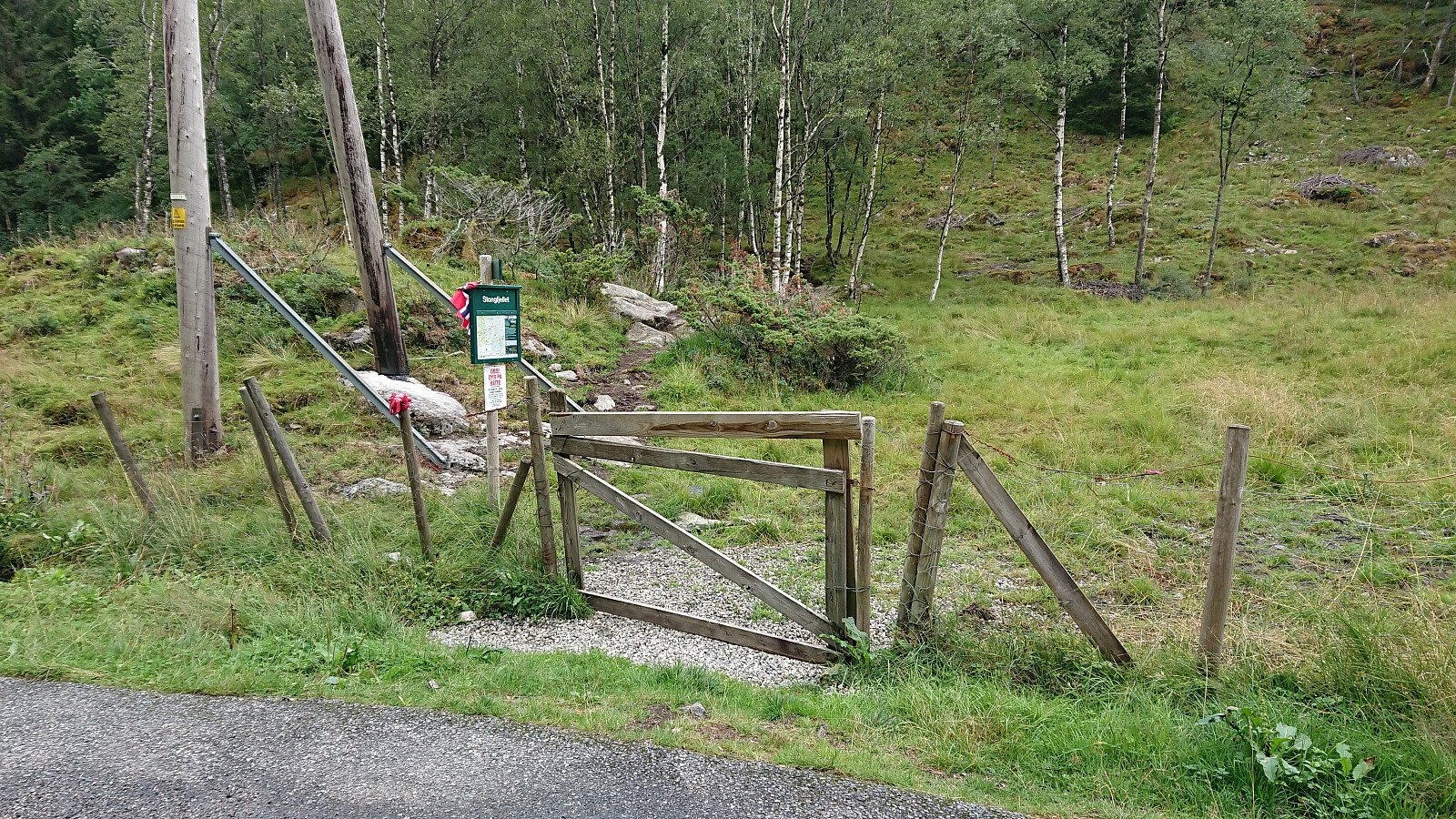


Started by taking the bus two or three stops passed Lonevåg terminal to the bus stop referred to as both "Hatland skulesenter" and "Hatland US". From there I followed the roads southeast to locate the marked trailhead between Byrkjeland and Hovdo. The second half of this walk included a steady almost 200 meters climb spread over 2 km, reaching just below 250 meters above sea level before starting the real hike.
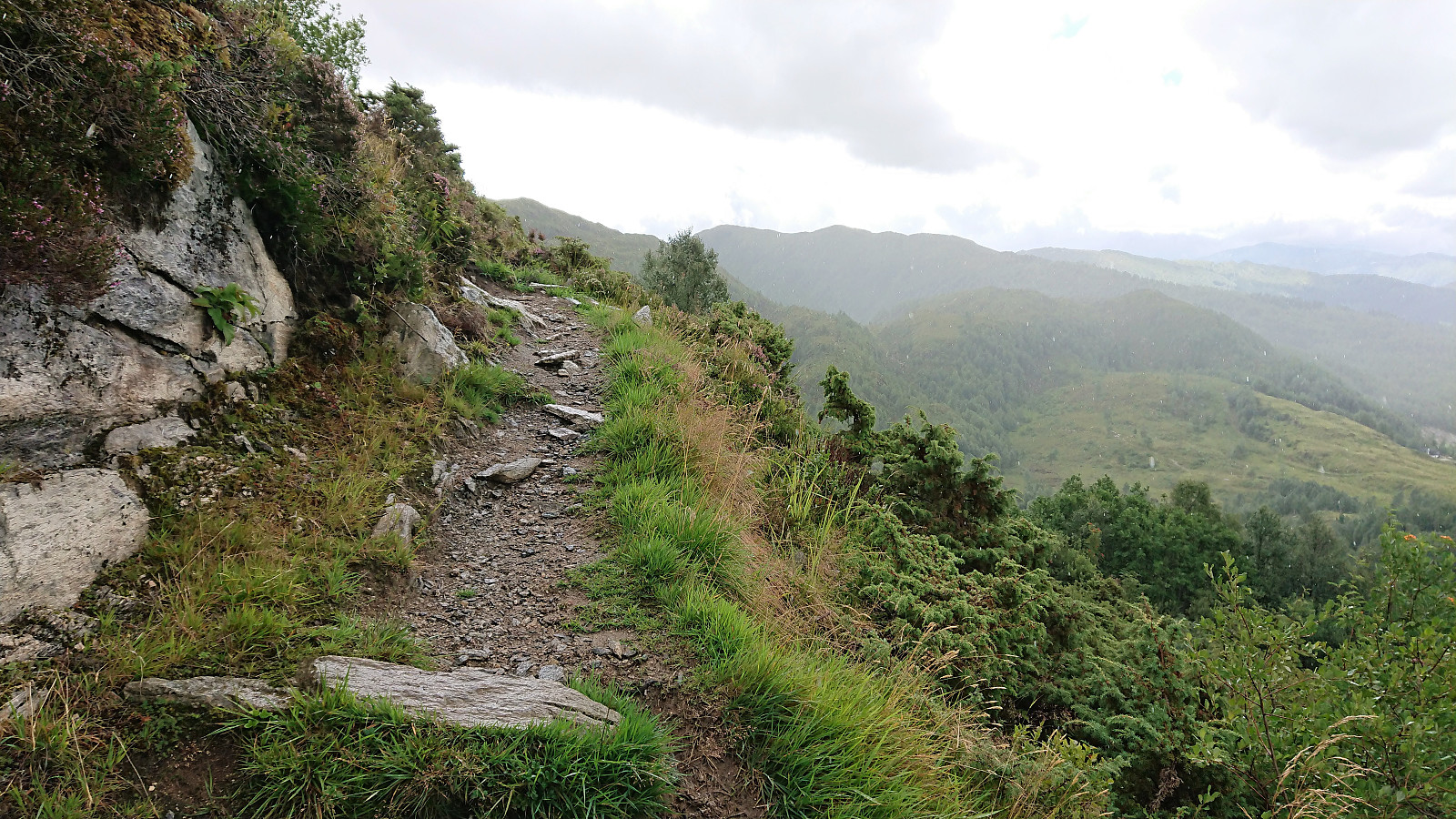
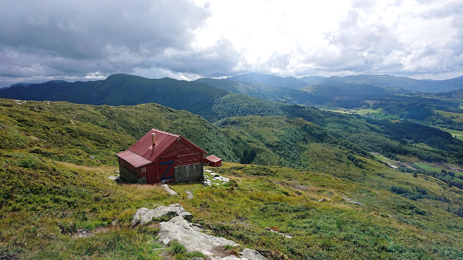
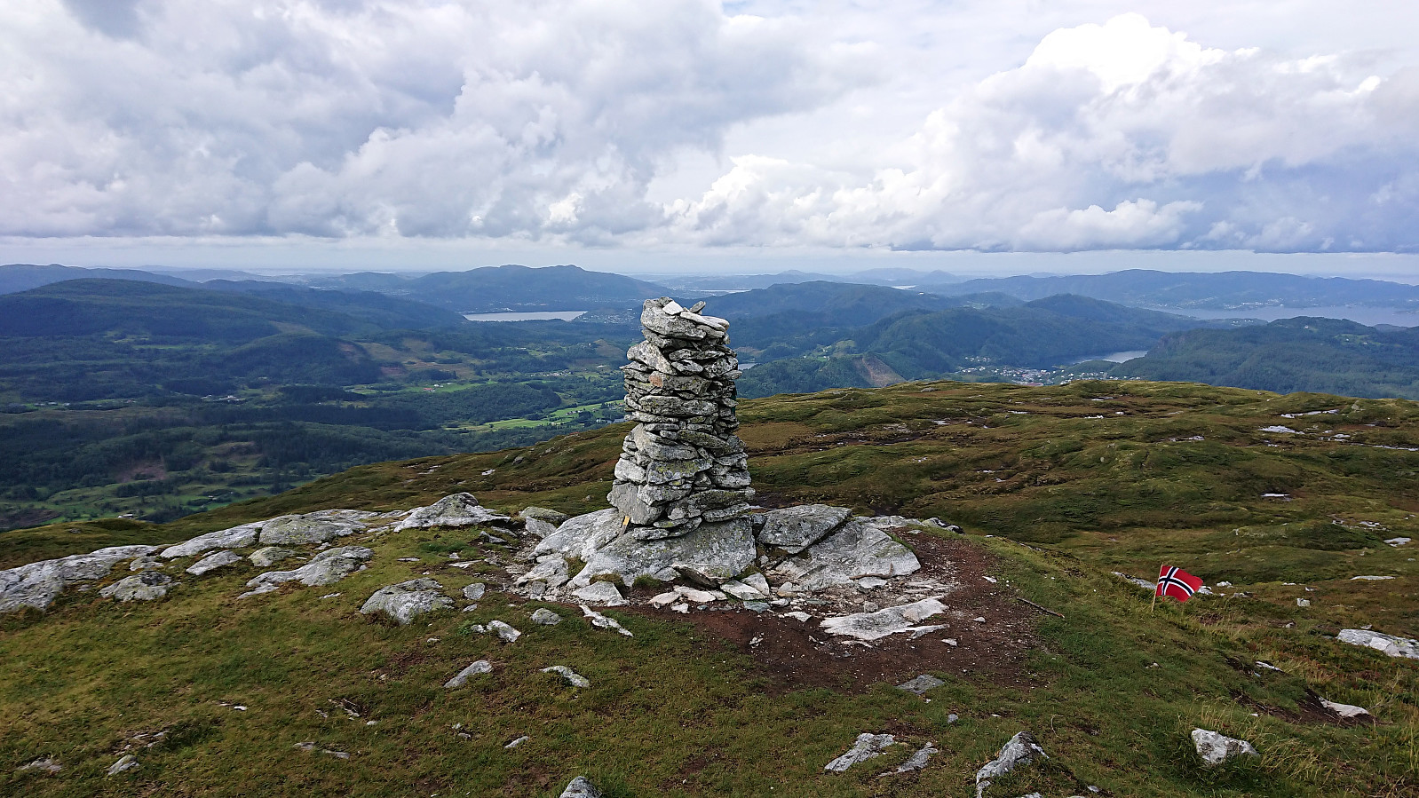
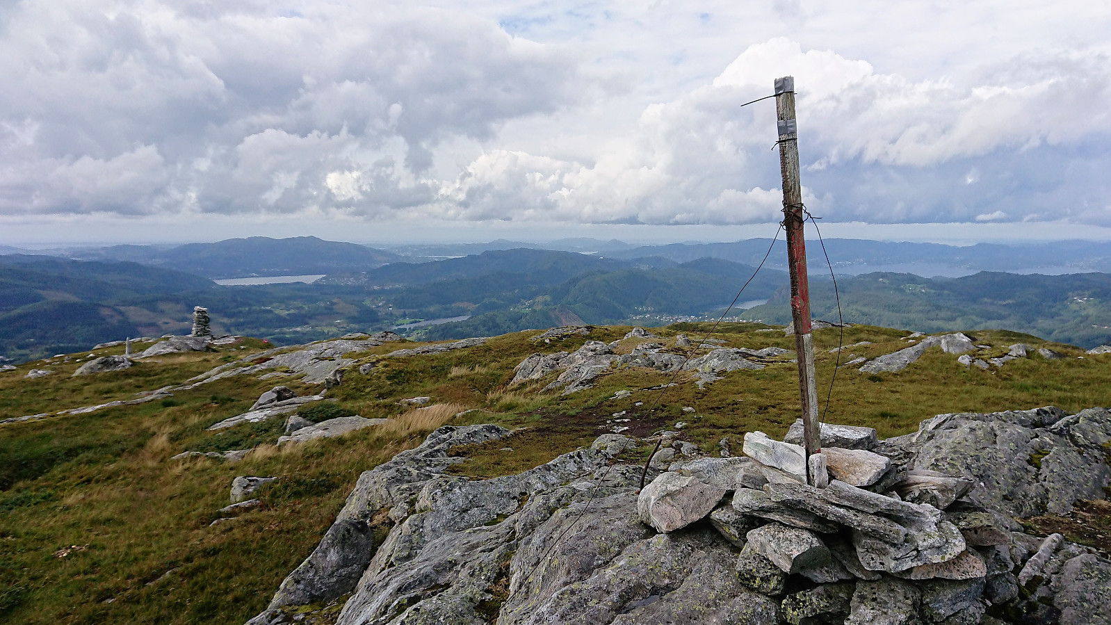
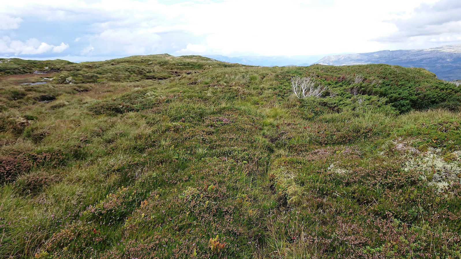
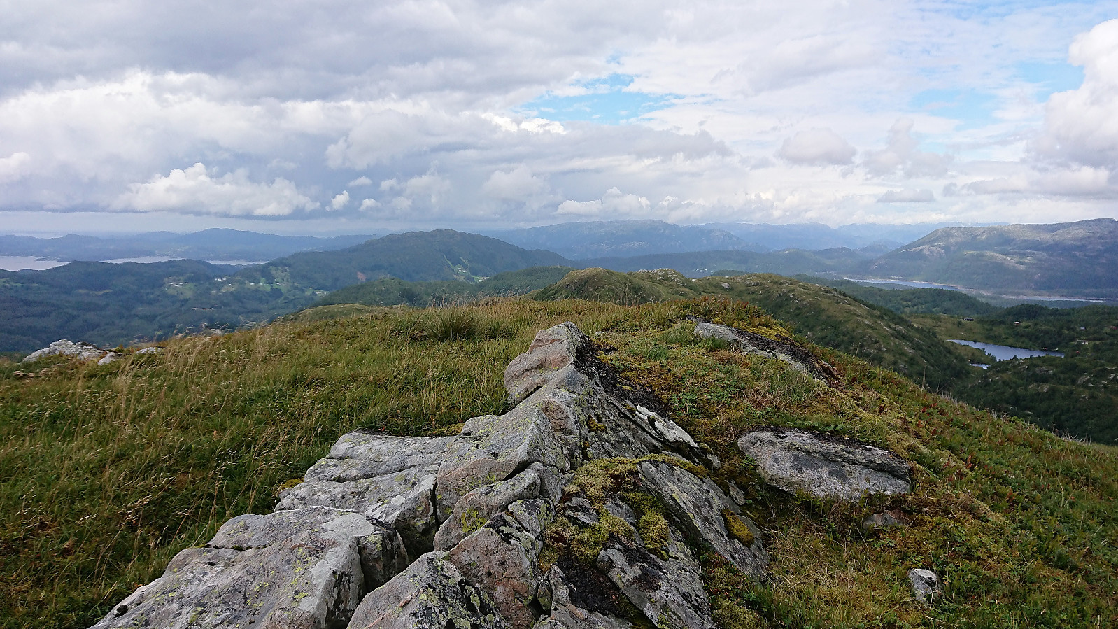
The trail started out wet and muddy. The fact that started raining did not help much either. However, within not too long the quality of the trail improved as it started to climb more steeply, and halfway up the mountain it thankfully also stopped raining. (The rain would return on the descent, but less intense). Not long after I passed by two small cabins and soon found myself at the summit of Stongfjellet (or Stongfjellet, as this was the name used on the signs), being provided an excellent 360 degrees view. The gray weather did not make for the best pictures though.
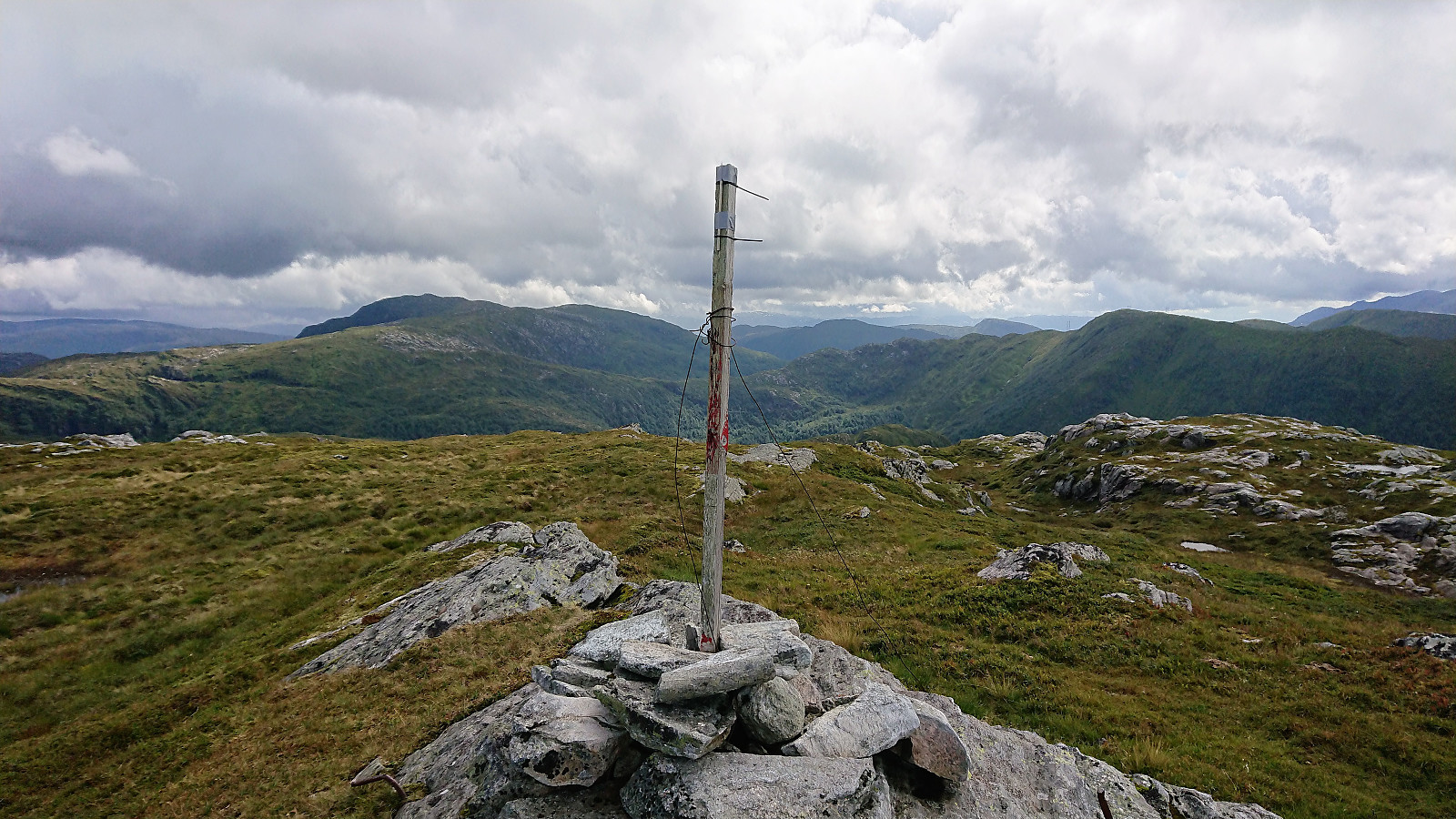
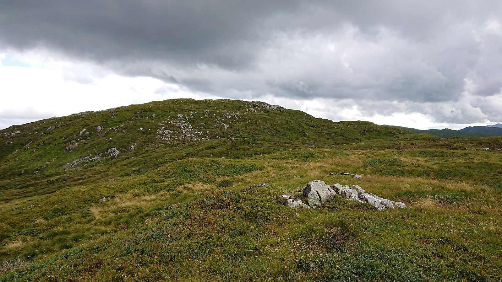
On the decent I also passed by the lower viewpoint northwest of the summit. The map here indicated a trail but if it was there at all it was very weak. At the upper of the two cabins I finally found some shelter from the wind and had a quick bite before continuing down to the road. All that now remained was the long walk back to Lonevåg (this time going all that way to the terminal) for the bus back to Bergen.
In summary, a nice hike with excellent views that can be highly recommended. Probably worth redoing in less gray weather. The walk to/from the trailhead was not very exiting though and can easily be skipped.
| Startzeitpunkt | 09.08.2018 11:33 (UTC+01:00 SZ) |
| Endzeitpunkt | 09.08.2018 15:17 (UTC+01:00 SZ) |
| Gesamtzeit | 3h 43min |
| Zeit in Bewegung | 3h 28min |
| Pausenzeit | 0h 15min |
| Gesamtschnitt | 3,9km/h |
| Bewegungsschnitt | 4,2km/h |
| Entfernung | 14,6km |
| Höhenmeter | 764m |


Benutzerkommentare