
Lusaskard from Øvstedalen (01.08.2018)

Geschrieben von hbar (Harald Barsnes)

| Startpunkt | Svartavassgrovi p-plass (481m) |
|---|---|
| Endpunkt | Svartavassgrovi p-plass (481m) |
| Tourcharakter | Bergtour |
| Tourlänge | 4h 05min |
| Entfernung | 15,5km |
| Höhenmeter | 644m |
| GPS |
|
| Besteigungen | Lusaskard (1.004m) | 01.08.2018 |
|---|---|---|
| Besuche anderer PBE | Svartavassgrovi p-plass (481m) | 01.08.2018 |
Lusaskard from Øvstedalen
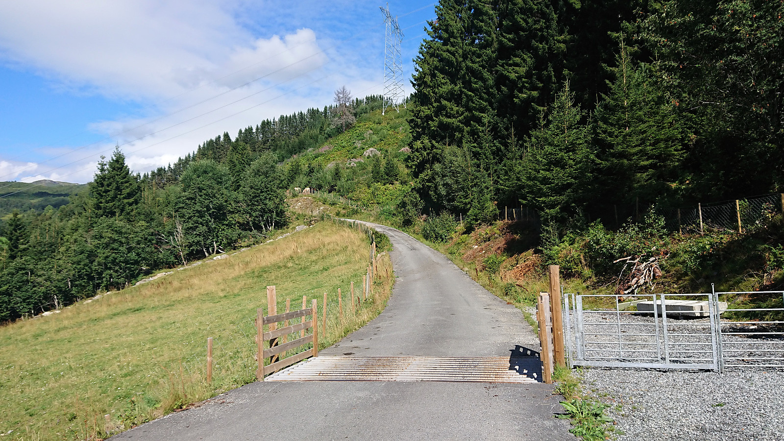
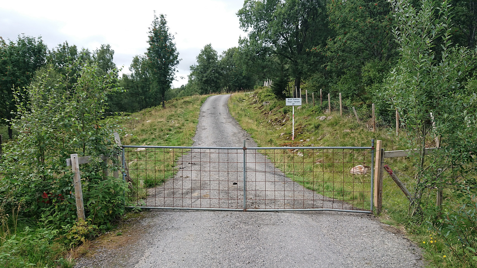
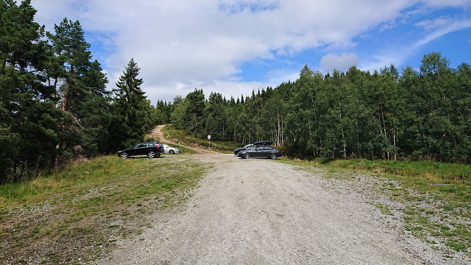
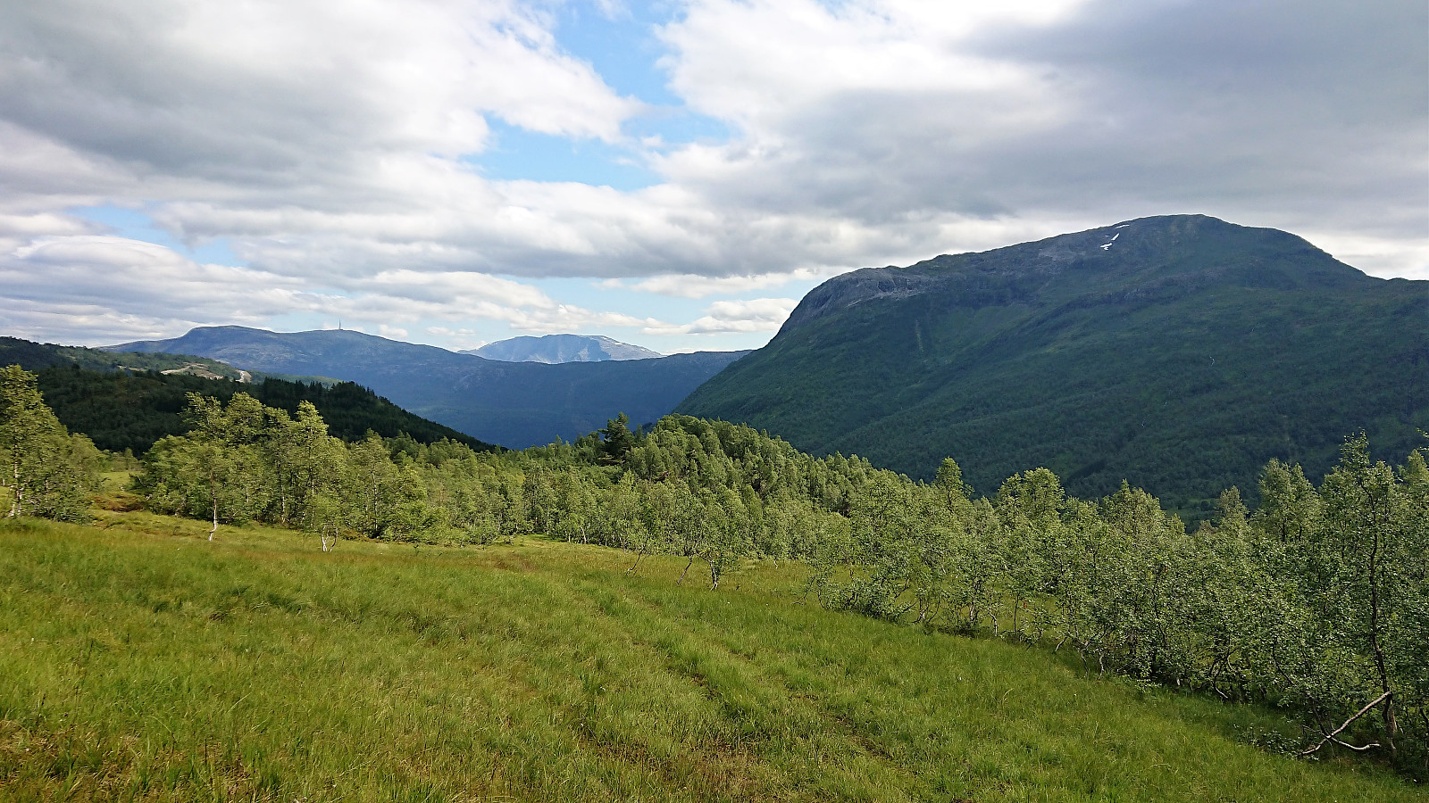
After our previous recent visit to Øvstedalen we had studied the map and located another potential parking lot further up the valley. This time we therefore paid the toll (30 kr for one day) just next to the lower parking lot and then continued northwest up Gardselvegen. At the first crossroads we went right and then through a gate before turning north up a relatively steep hill to arrive at the parking lot indicated on the map.
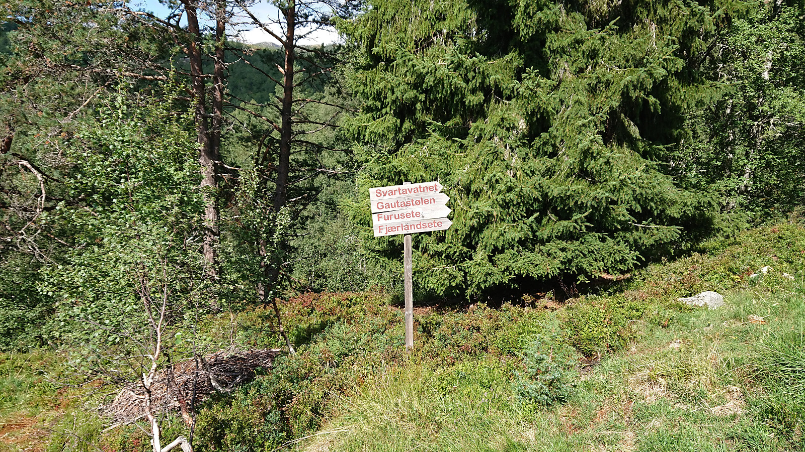
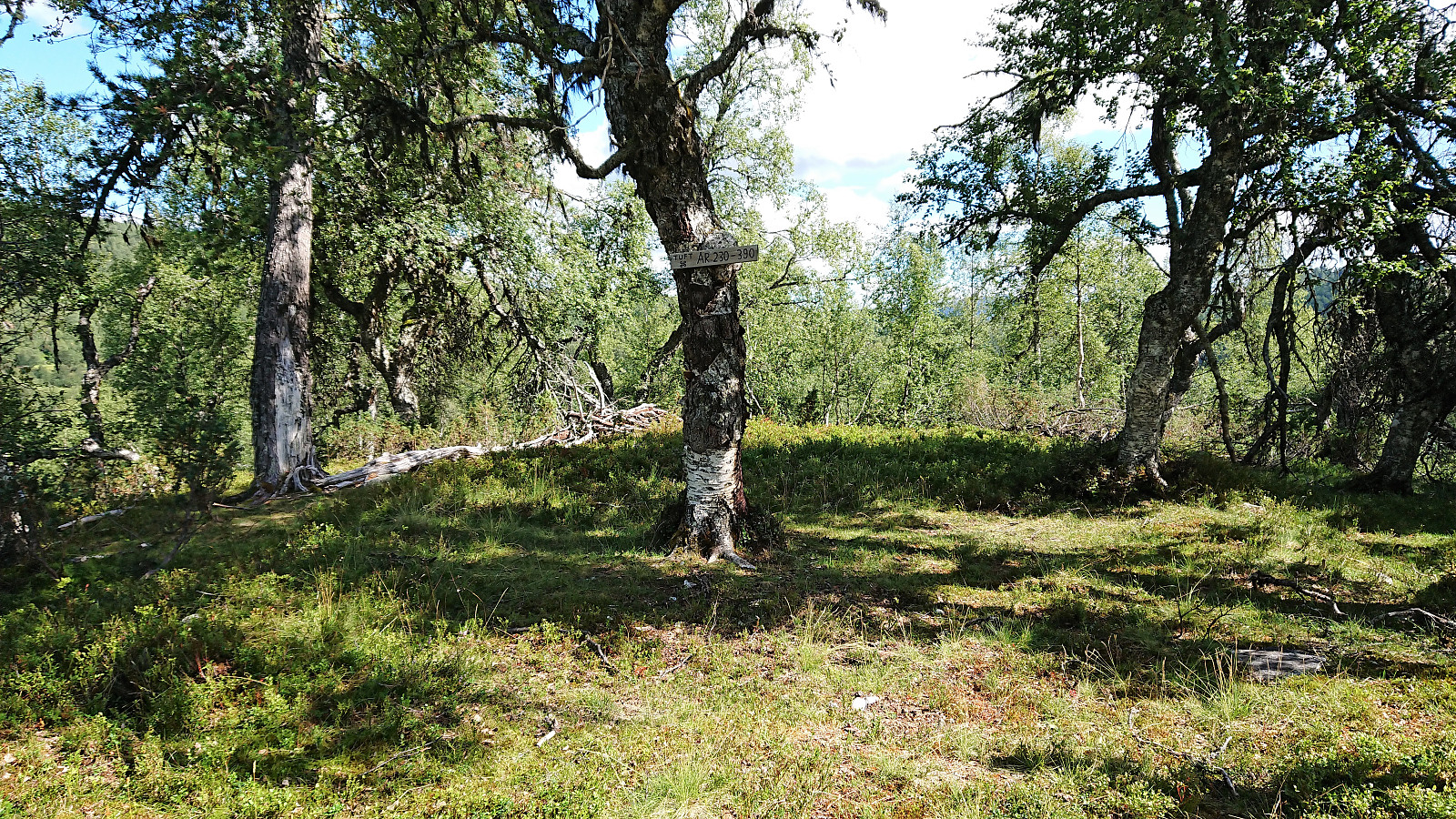
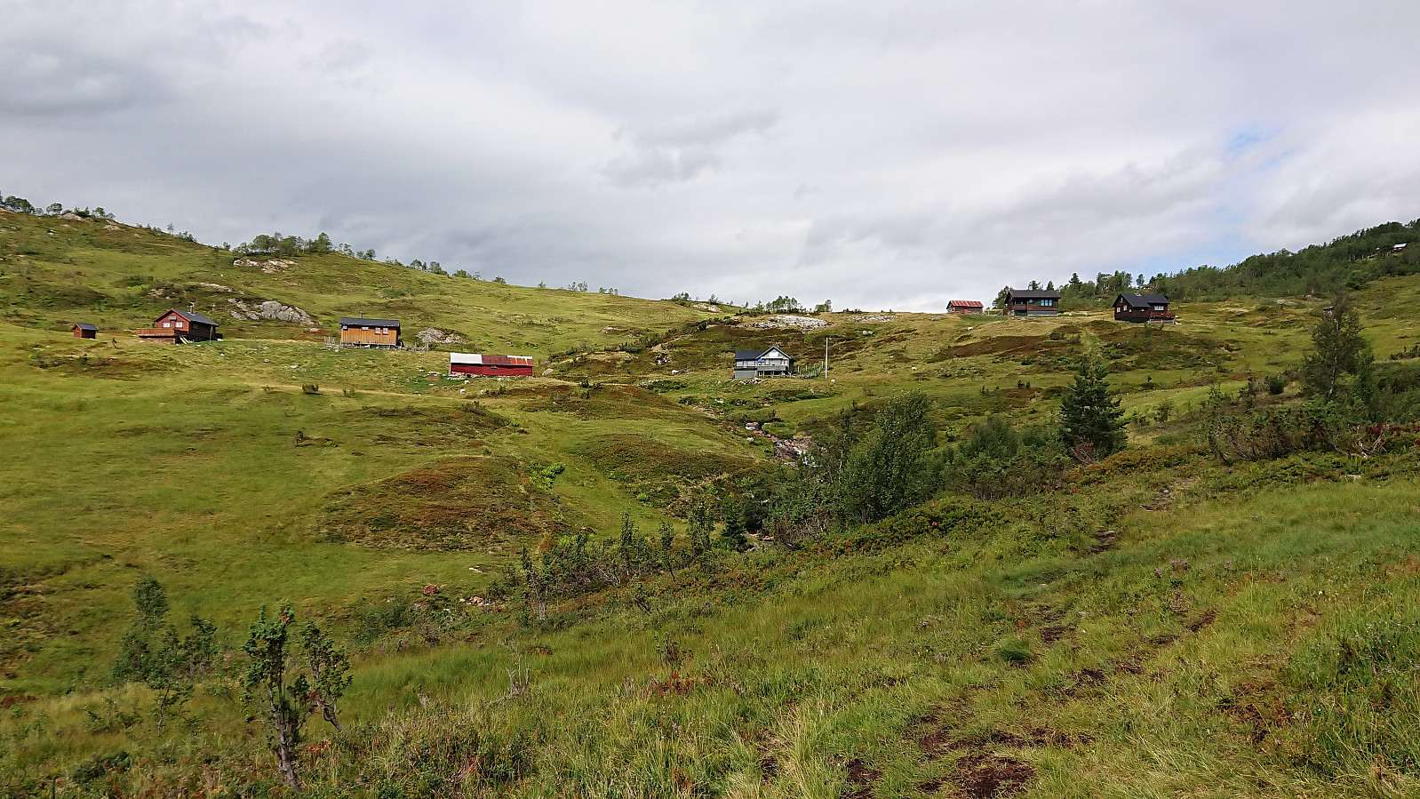
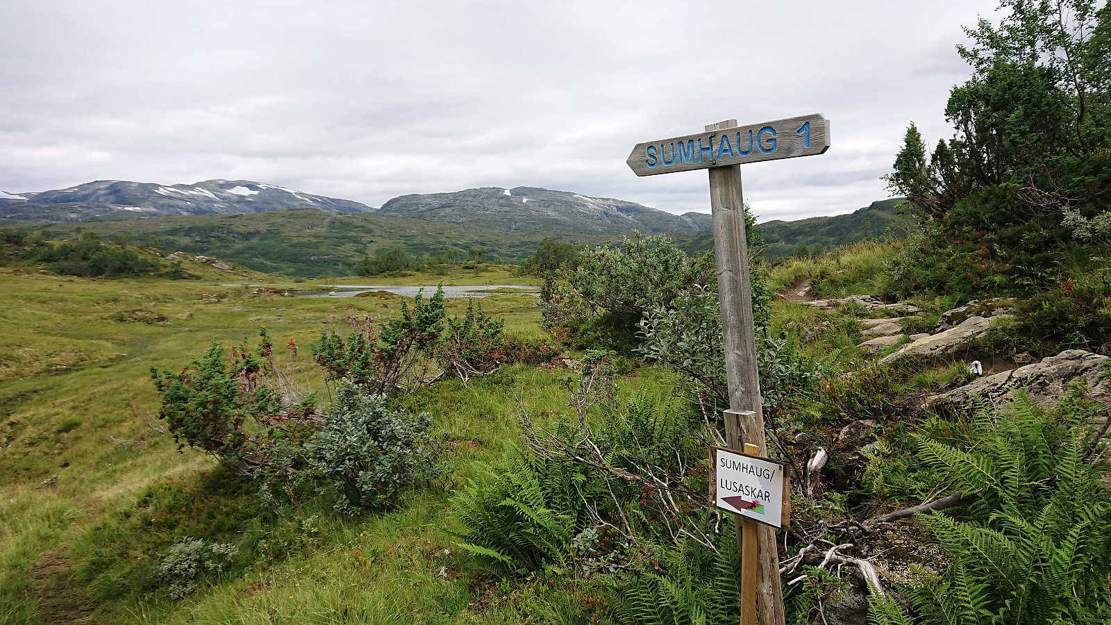
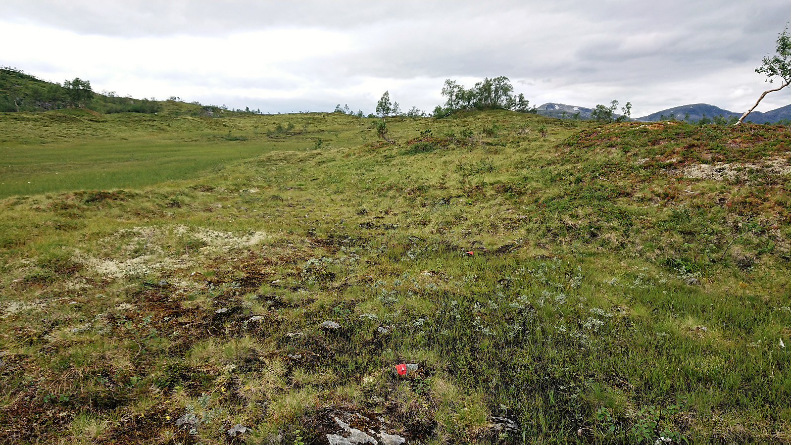
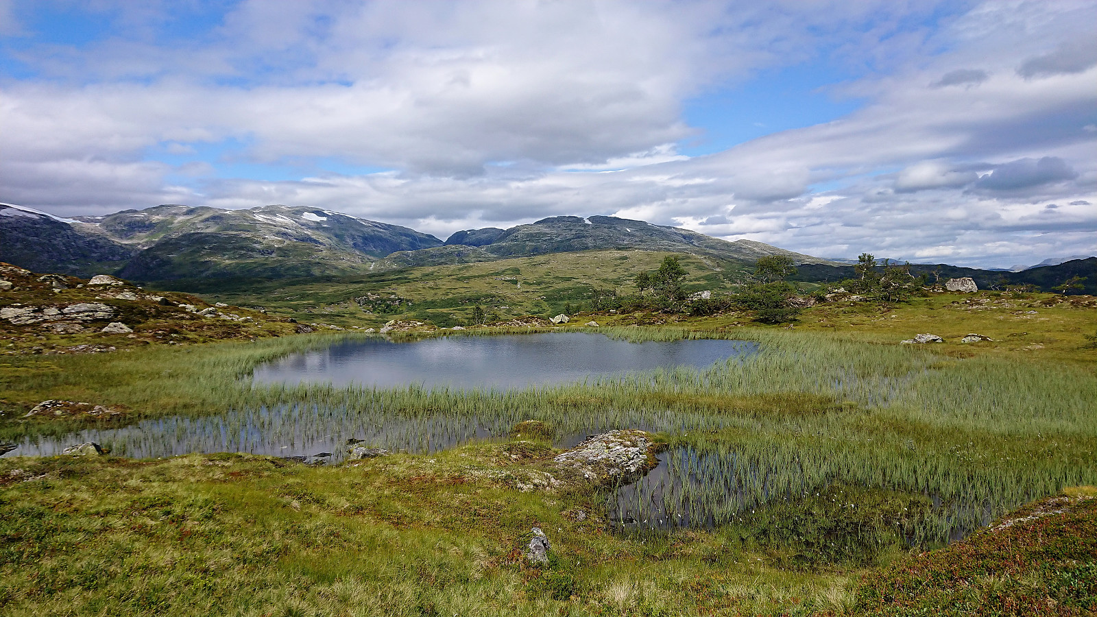
The parking lot provided a marked trailhead for Fjærlandsete (and more), clearly indicating that we were on the right track (unlike for our previous attempt). No signs for Lusaskard yet, but these would show up later. The trail was easy to follow, but did contain its fair share of wet areas until reaching Furesete.
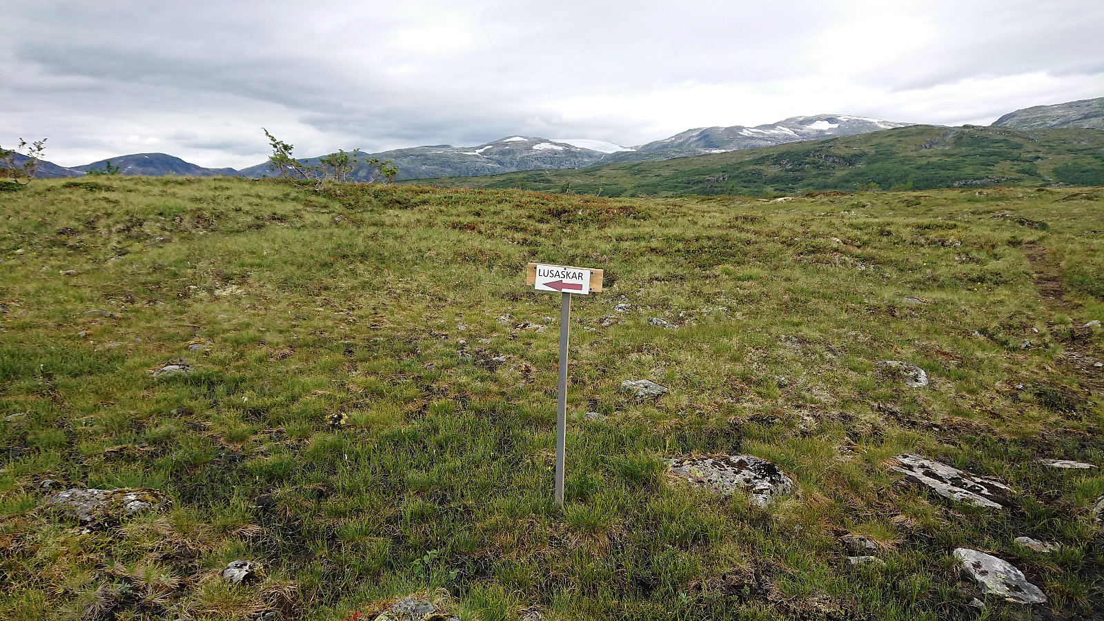
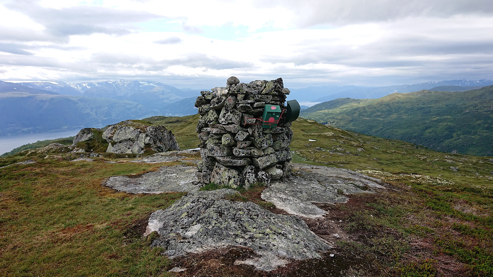
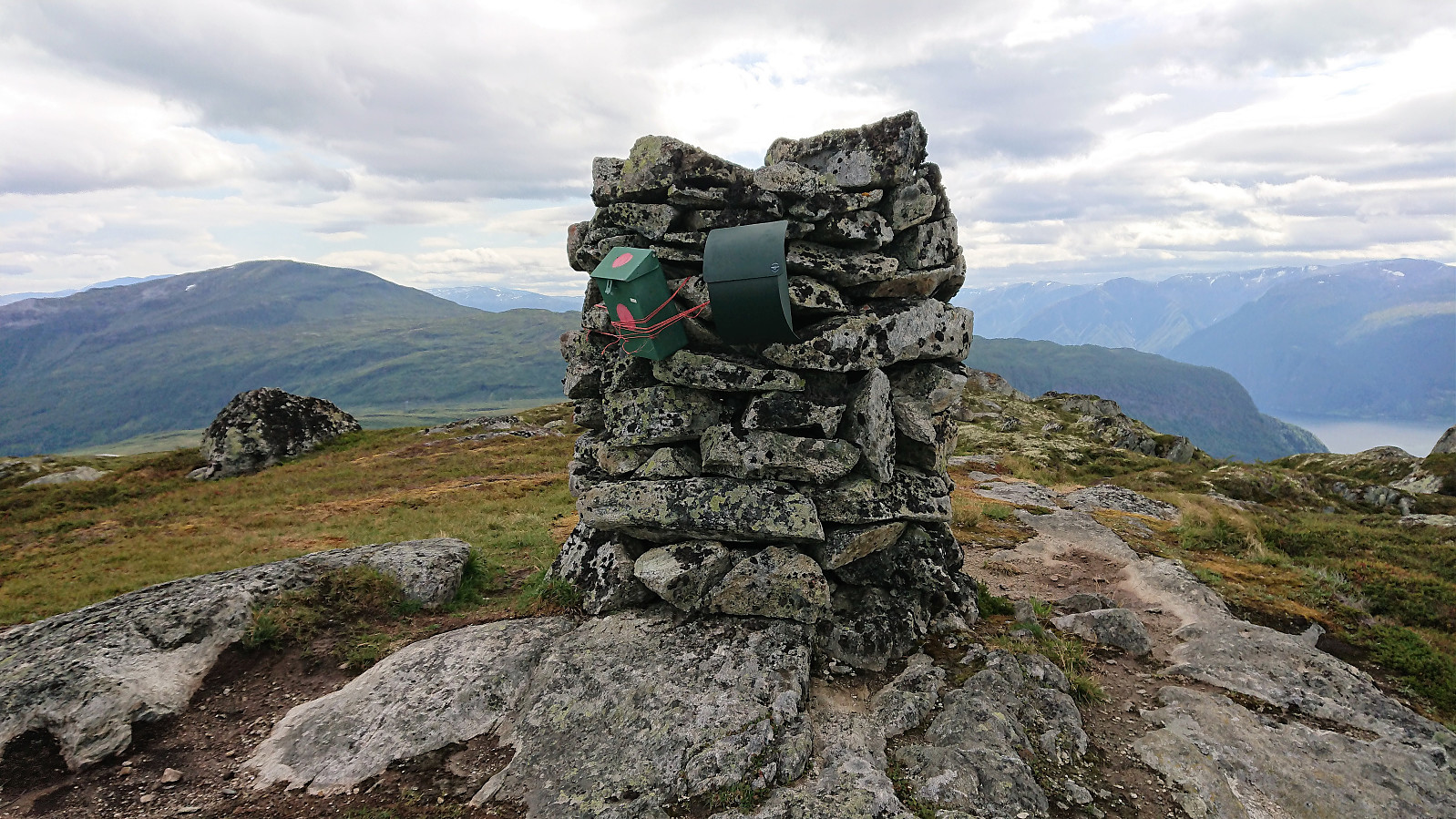
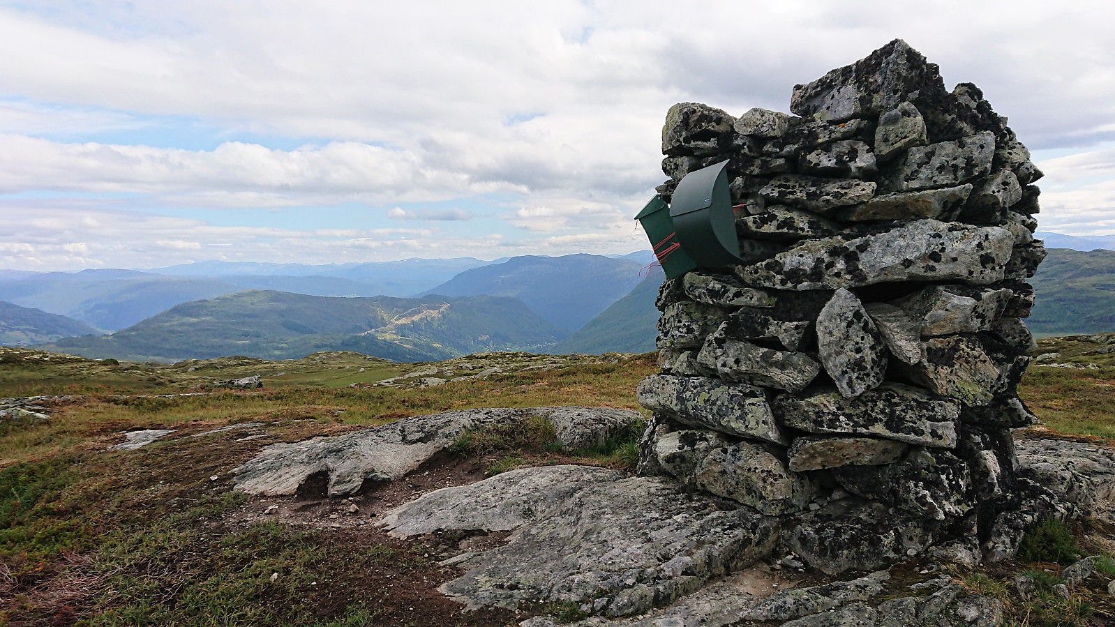
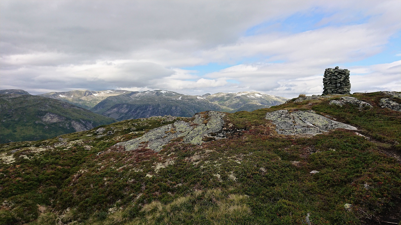
Upon reaching Kalvavatnet I left the rest of my party behind for blueberry picking and continued on my own towards Lusaskard. Again the trail was marked, but I still ended up losing it for a short time on the ascent as the trail itself was not very easily spotted. The summit provided excellent views in all directions, but sadly the views were a bit limited today due to the rather gray weather.
I noticed that the trail continued southwest across the summit and assume that it is thus possible to make the hike into more of a roundtrip. But as I had to reconnect with the rest of my travelling companions, I decided to rather return along the same trail, this time managing to follow the trail all the way.
Overall a nice hike that can be recommended. A similar trip should perhaps also be tried during the winter time.

| Startzeitpunkt | 01.08.2018 11:32 (UTC+01:00 SZ) |
| Endzeitpunkt | 01.08.2018 15:39 (UTC+01:00 SZ) |
| Gesamtzeit | 4h 05min |
| Zeit in Bewegung | 3h 55min |
| Pausenzeit | 0h 10min |
| Gesamtschnitt | 3,8km/h |
| Bewegungsschnitt | 4,0km/h |
| Entfernung | 15,5km |
| Höhenmeter | 643m |


Benutzerkommentare