
Bergåsen and Berfjordfjellet (03.05.2018)

Geschrieben von hbar (Harald Barsnes)

| Startpunkt | Bergås (110m) |
|---|---|
| Endpunkt | Bergås (110m) |
| Tourcharakter | Bergtour |
| Tourlänge | 1h 20min |
| Entfernung | 3,5km |
| Höhenmeter | 223m |
| GPS |
|
| Besteigungen | Berfjordfjellet (189m) | 03.05.2018 |
|---|---|---|
| Bergåsen (196m) | 03.05.2018 | |
| Besuche anderer PBE | Berfjordfjellet utsiktspunkt (189m) | 03.05.2018 |
Bergåsen and Berfjordfjellet
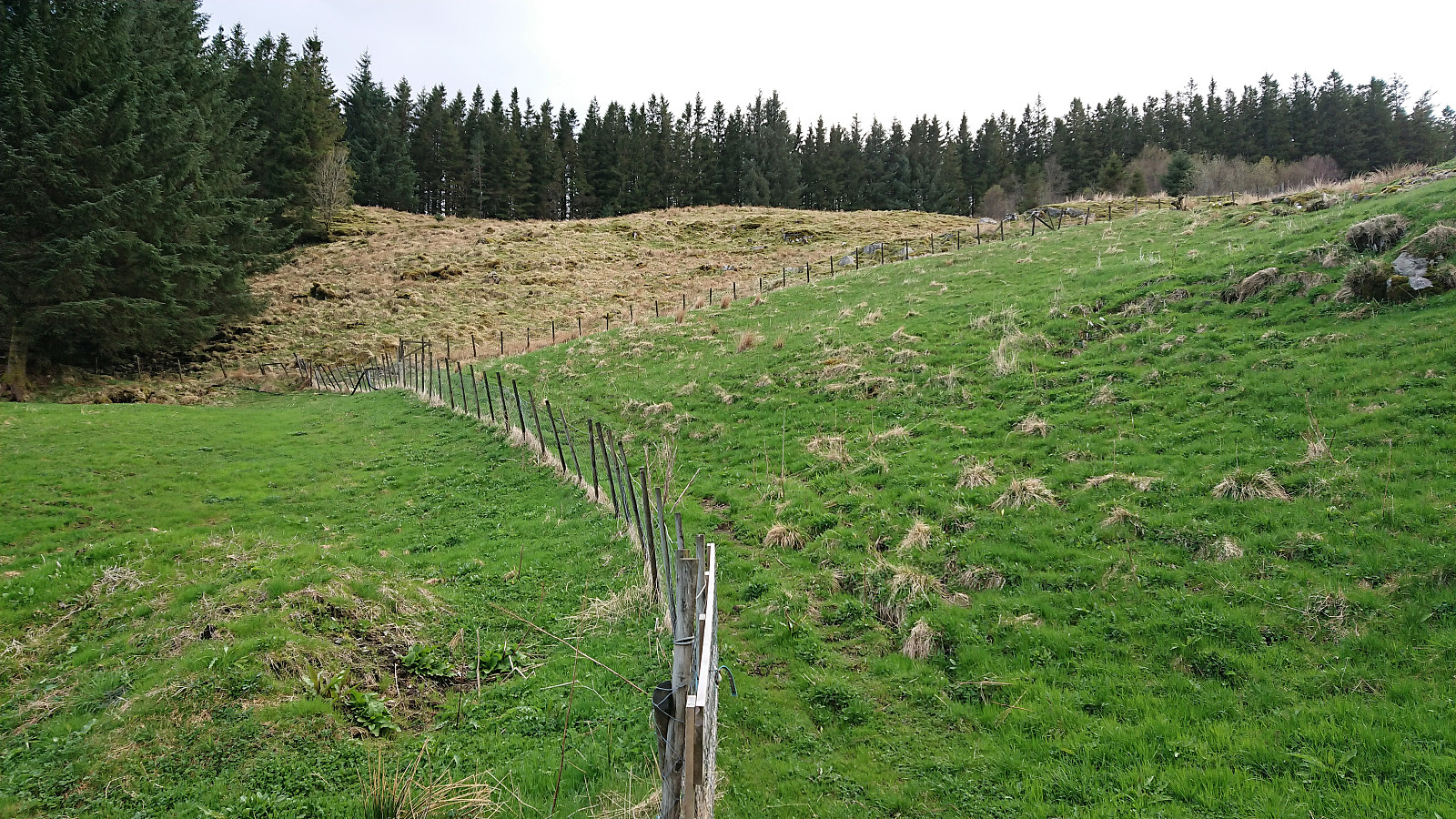
After the visit to Skardsveten we drove to Bergås for the second goal of the day: Bergåsen. We found parking by the side of the road, but had to ask a local farmer to locate the unmarked trailhead. But even then we managed to take a wrong turn at the very start. This was however quickly corrected and we soon found ourselves on a marked trail.
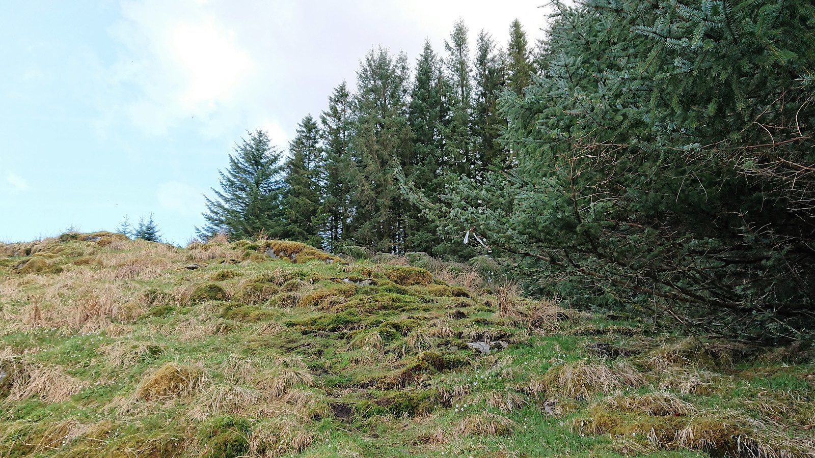
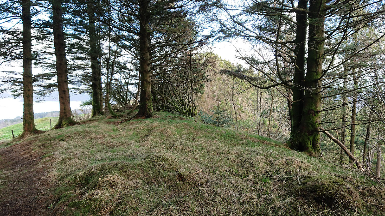
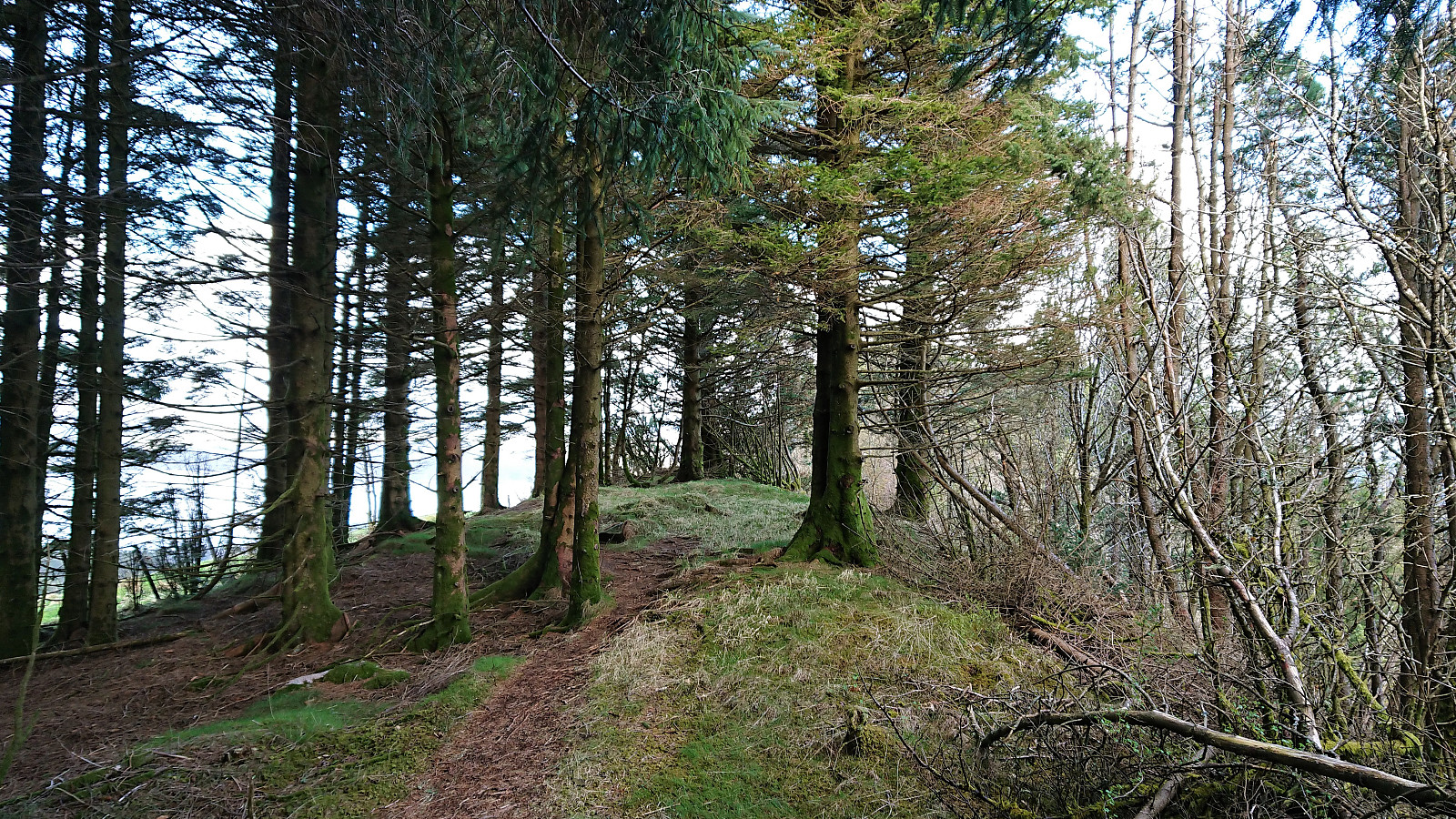
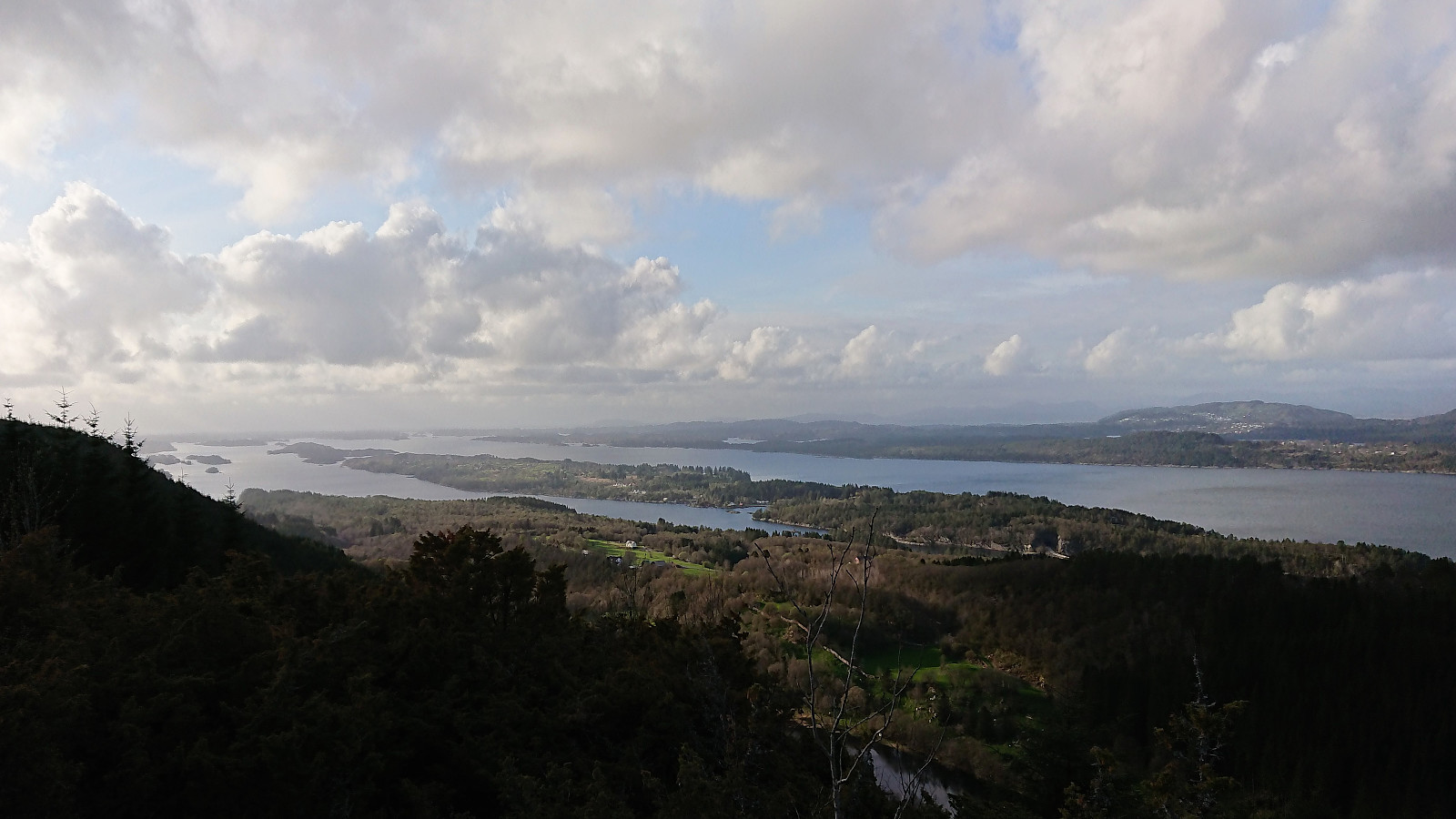
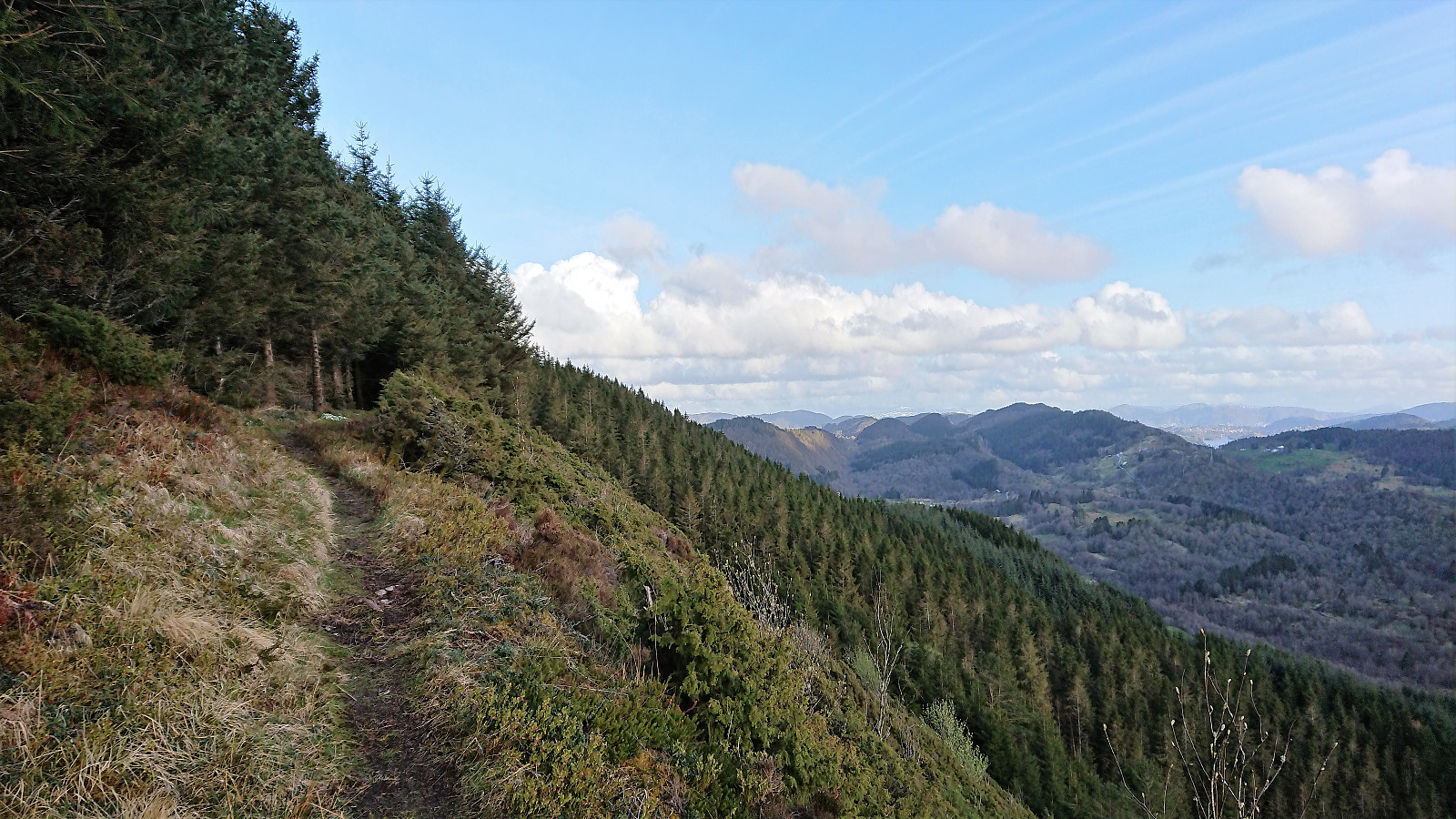
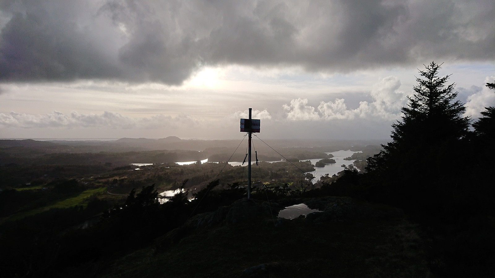
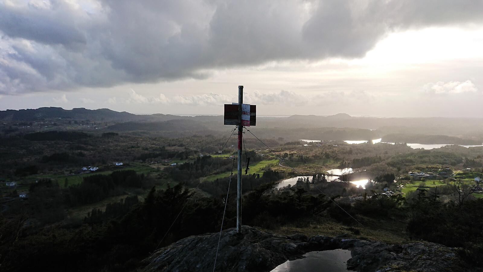
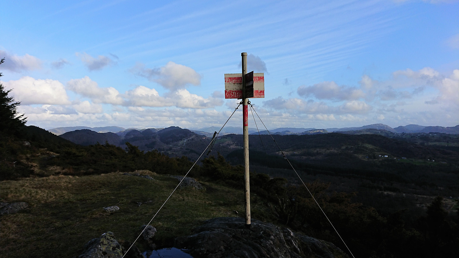
The summit itself provided very limited views. But thanks to Kjell's recent report we continued northwest along the ridge for better views. And shortly after leaving the summit the views opened up, and we could enjoy spectacular views towards Radøy and Holsnøy. The trail itself was also very nice and this extra hike can be very highly recommended. We turned back at the trig marker (now added as a separate PB element), although the trail continued across the top.
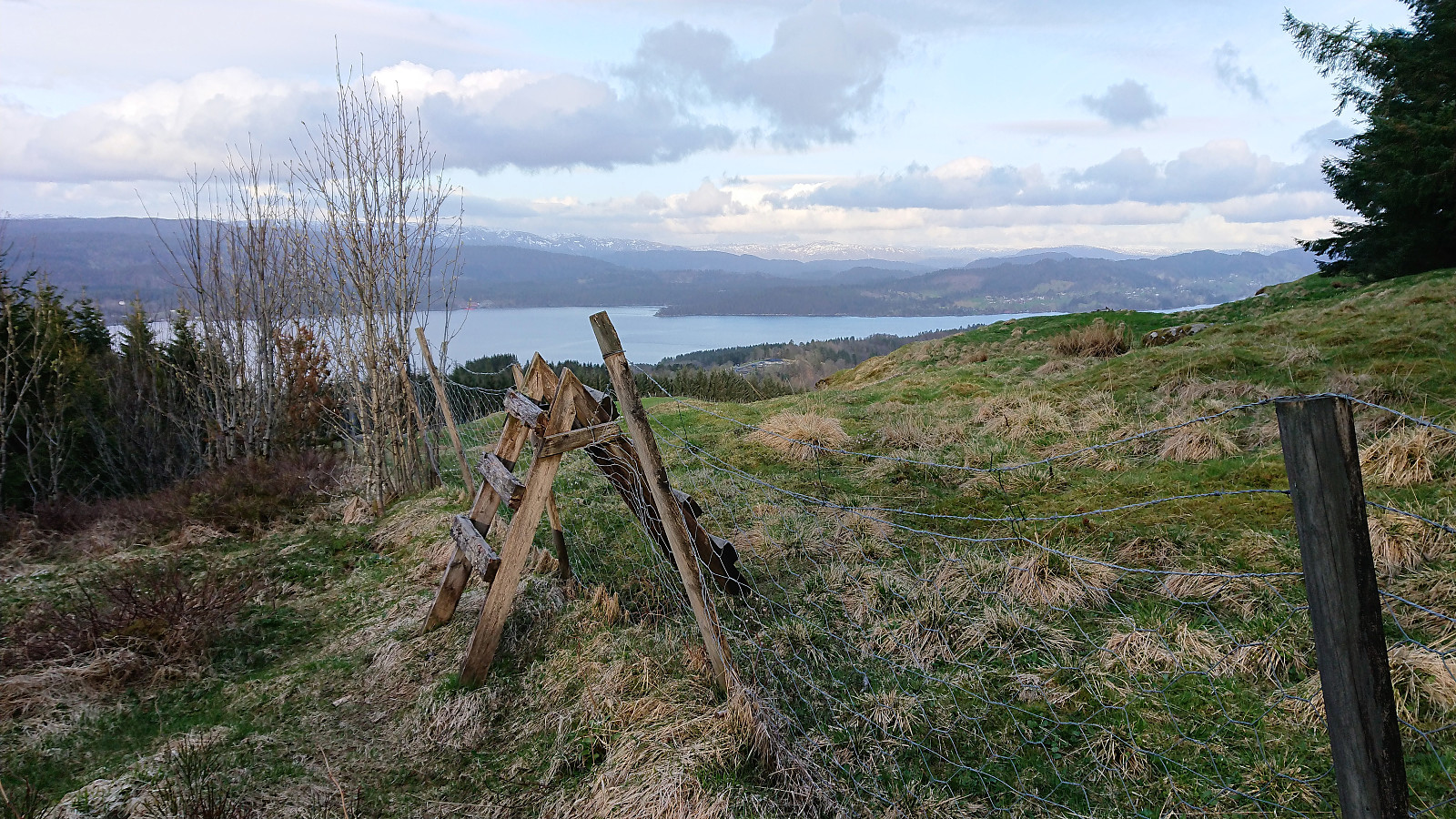
The farmer we talked to at the start of the hike had told us of an alternative route from the summit which connected with the tractor road where we started out. As we got close to the summit we located a weak trail heading east along the outside of the fence. There was also a wooden ladder to cross the fence, but we decided to go for the trail.
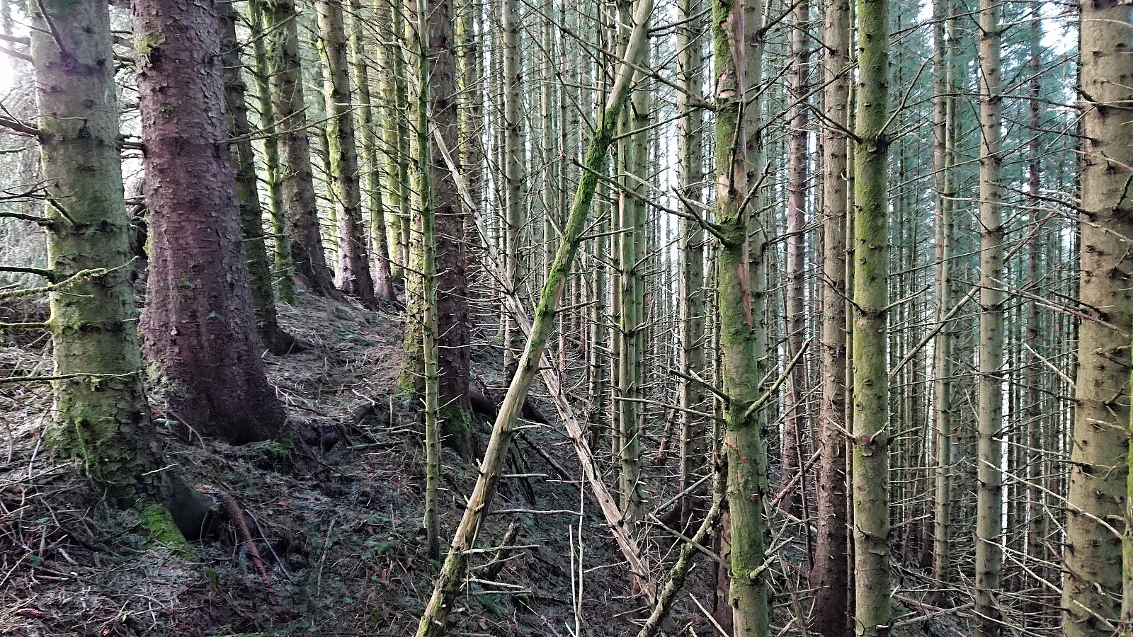
At first this seemed ok, even though the trail was rather wet, but it quickly became clear that this trail was not going to connect with the tractor road, but rather continue east down towards the main road (potentially connecting with the other tractor road further east?). We therefore gave up on the trail and headed straight for the tractor road through the dense forest, and while we did make it in the end, this part of the hike should definitely be avoided. Probably better to go via the wooden ladder.
| Startzeitpunkt | 03.05.2018 18:52 (UTC+01:00 SZ) |
| Endzeitpunkt | 03.05.2018 20:13 (UTC+01:00 SZ) |
| Gesamtzeit | 1h 20min |
| Zeit in Bewegung | 1h 08min |
| Pausenzeit | 0h 11min |
| Gesamtschnitt | 2,6km/h |
| Bewegungsschnitt | 3,1km/h |
| Entfernung | 3,5km |
| Höhenmeter | 223m |


Benutzerkommentare