
Fløyen, Brushytten and Sandviksfjellet (04.03.2018)

Geschrieben von hbar (Harald Barsnes)

| Startpunkt | Vetrlidsallmenningen (3m) |
|---|---|
| Endpunkt | Lønborg (55m) |
| Tourcharakter | Langlauf |
| Tourlänge | 3h 33min |
| Entfernung | 15,6km |
| Höhenmeter | 731m |
| GPS |
|
| Besteigungen | Sandviksfjellet (417m) | 04.03.2018 |
|---|---|---|
| Besuche anderer PBE | Aasebu (370m) | 04.03.2018 |
| Brushytten (412m) | 04.03.2018 | |
| Fløyen stasjon (313m) | 04.03.2018 | |
| Radiostasjonen Fløyen barnehage (306m) | 04.03.2018 | |
| Hellegrind (199m) | 04.03.2018 | |
| Ishuset ved Langevatnet (127m) | 04.03.2018 | |
| Sandvikspilen (378m) | 04.03.2018 | |
| Vannverkshus i Skiveien (244m) | 04.03.2018 |
Fløyen, Brushytten and Sandviksfjellet
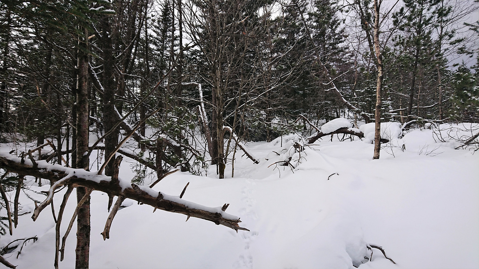
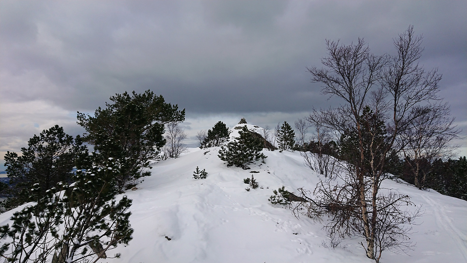
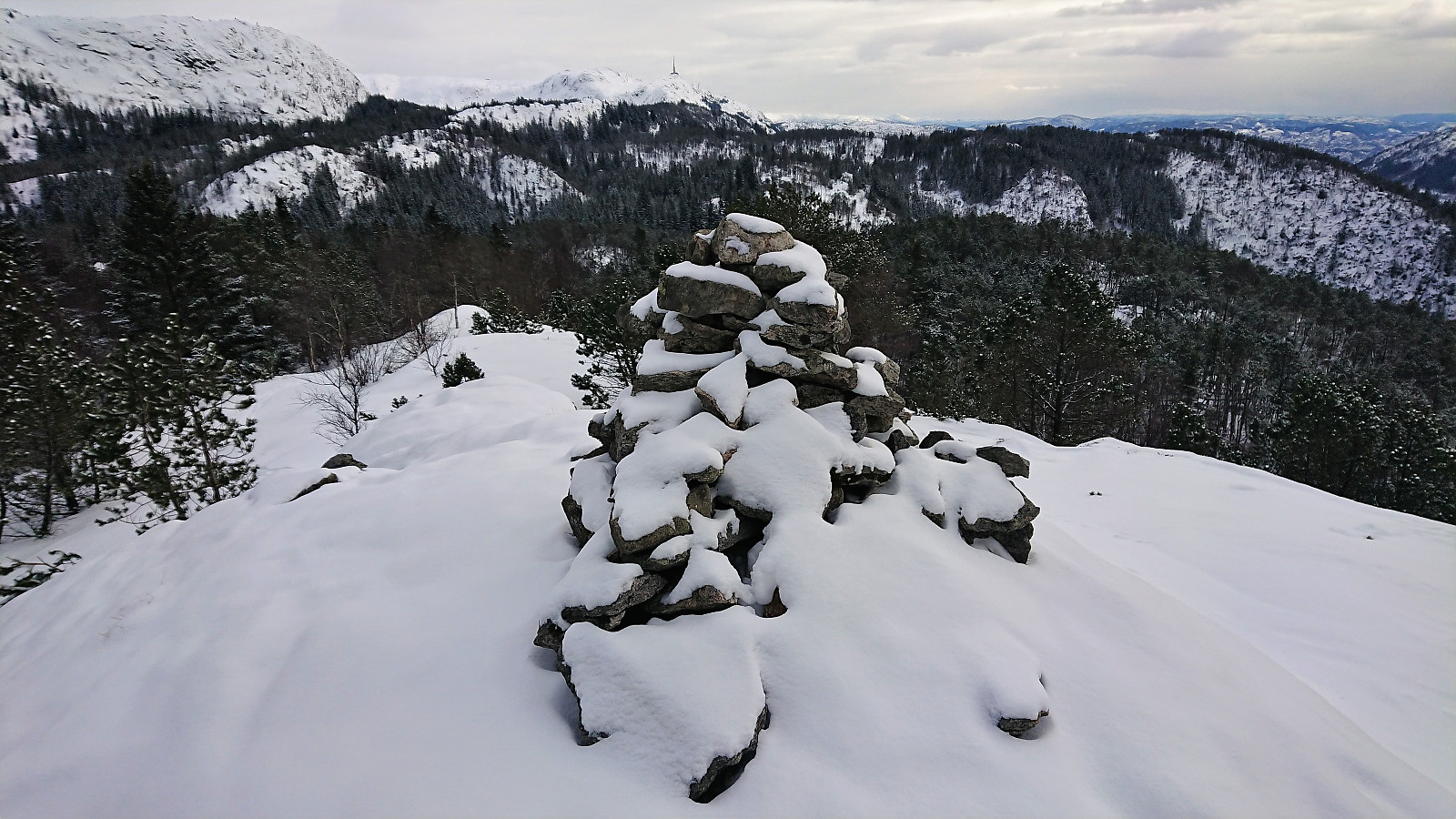
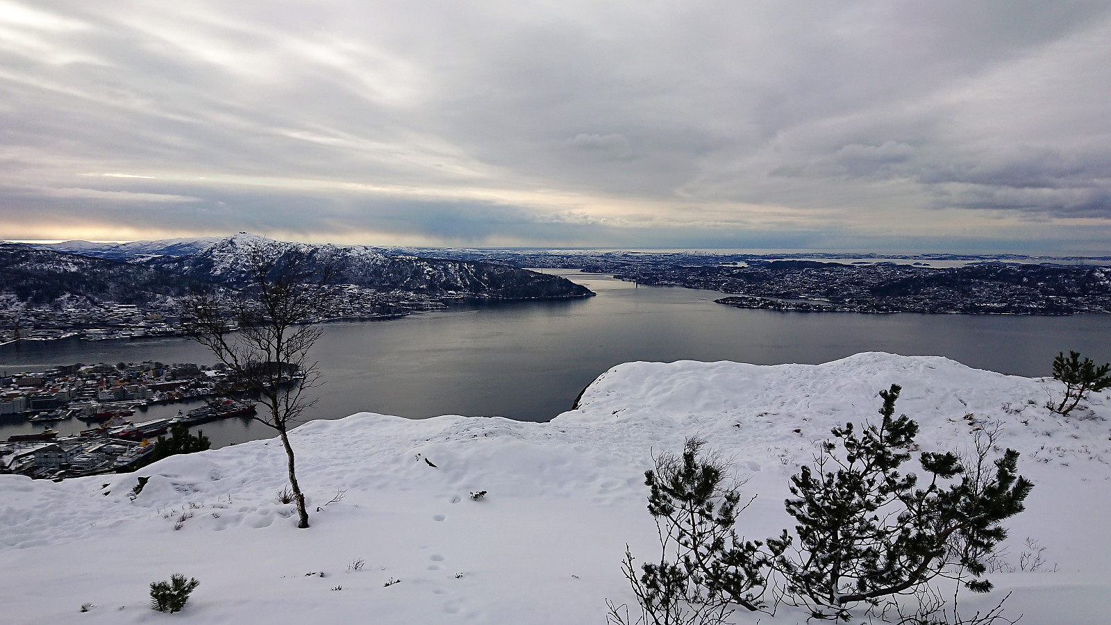
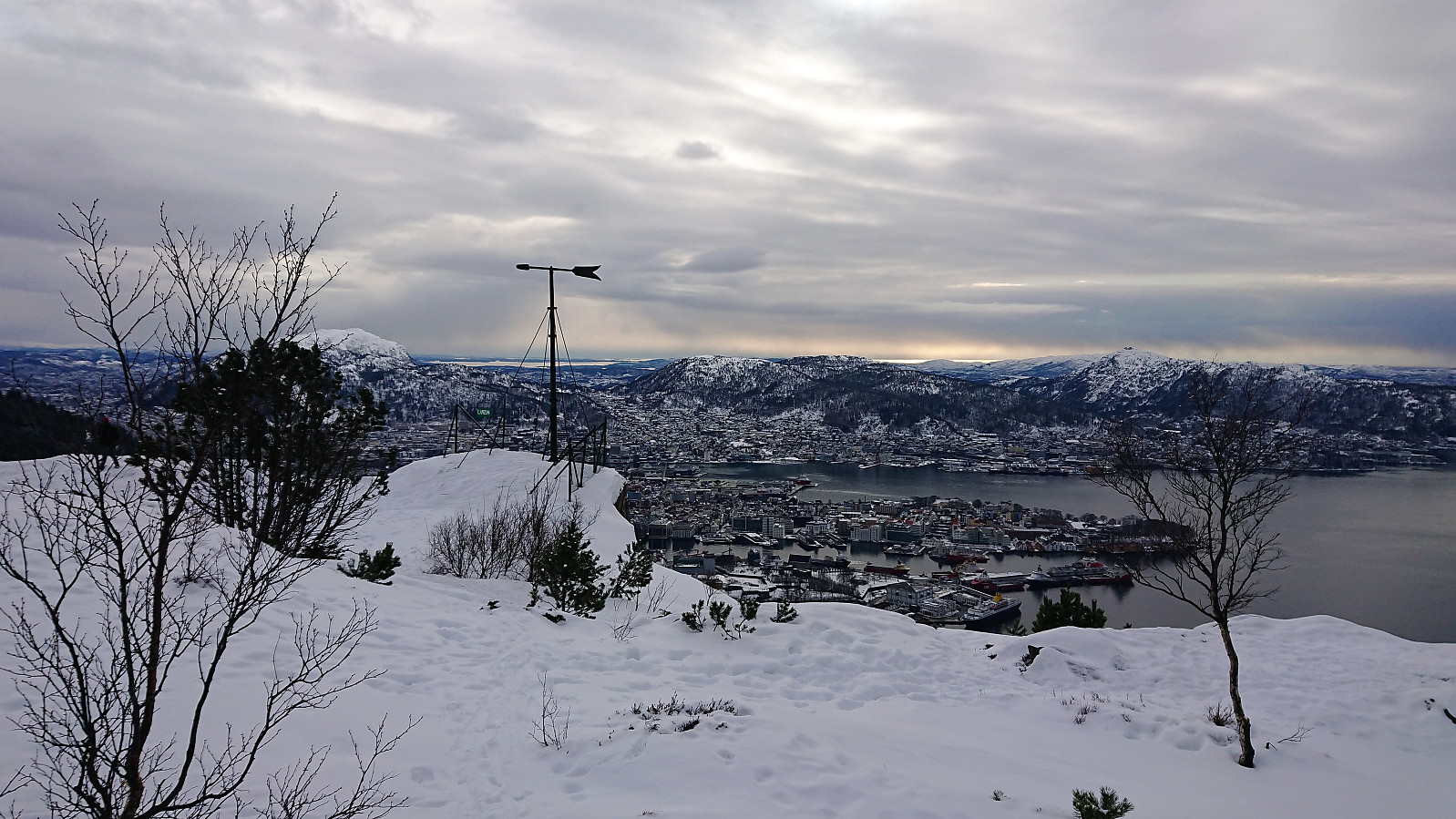
My plan had been to take Fløibanen and start skiing from the upper station, but upon arriving at Fløibanen there was a bit of a queue, so I decided to walk instead. At the upper station I put on my skis and made one round in "Lysløypen" before heading north for Sandviksfjellet. Getting to the summit of Sandviksfjellet on skis turned out to be harder than expected, as the path is not really made for skiing. The stretch from the summit towards to Sandvikspilen was however slightly better. From Sandvikspilen I tried a shortcut through the woods to reconnect with the gravel road. This turned out to be a mistake (too many trees and not enough snow), so not really a shortcut in the end. Finally, the trip was concluded by skiing down the snow-covered gravel road and taking Hellemyrstien to Lønborg.

| Startzeitpunkt | 04.03.2018 12:36 (UTC+01:00) |
| Endzeitpunkt | 04.03.2018 16:09 (UTC+01:00) |
| Gesamtzeit | 3h 33min |
| Zeit in Bewegung | 3h 12min |
| Pausenzeit | 0h 21min |
| Gesamtschnitt | 4,4km/h |
| Bewegungsschnitt | 4,9km/h |
| Entfernung | 15,6km |
| Höhenmeter | 731m |


Benutzerkommentare