
Slettafjellet, Nukane, Storsåta and Raunfjellet (30.11.2017)

Geschrieben von hbar (Harald Barsnes)

| Startpunkt | Ervikveien (53m) |
|---|---|
| Endpunkt | Lønborg (55m) |
| Tourcharakter | Bergtour |
| Tourlänge | 3h 39min |
| Entfernung | 12,7km |
| Höhenmeter | 766m |
| GPS |
|
| Besteigungen | Nukane (373m) | 30.11.2017 |
|---|---|---|
| Raunfjellet (389m) | 30.11.2017 | |
| Slettafjellet (310m) | 30.11.2017 | |
| Storsåta (434m) | 30.11.2017 |
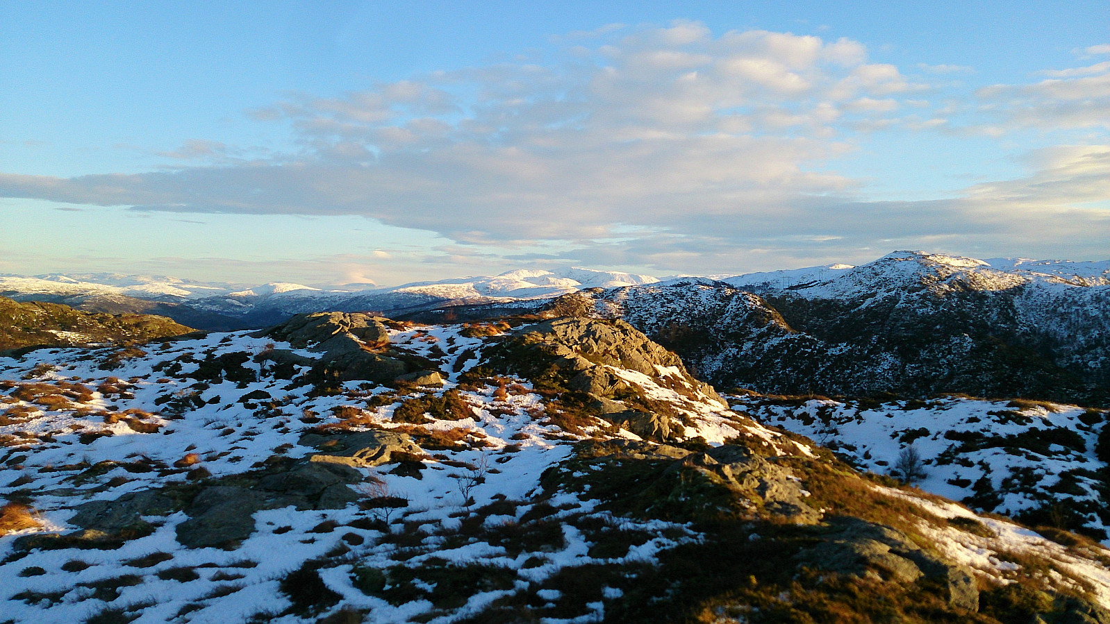
Slettafjellet, Nukane, Storsåta and Raunfjellet
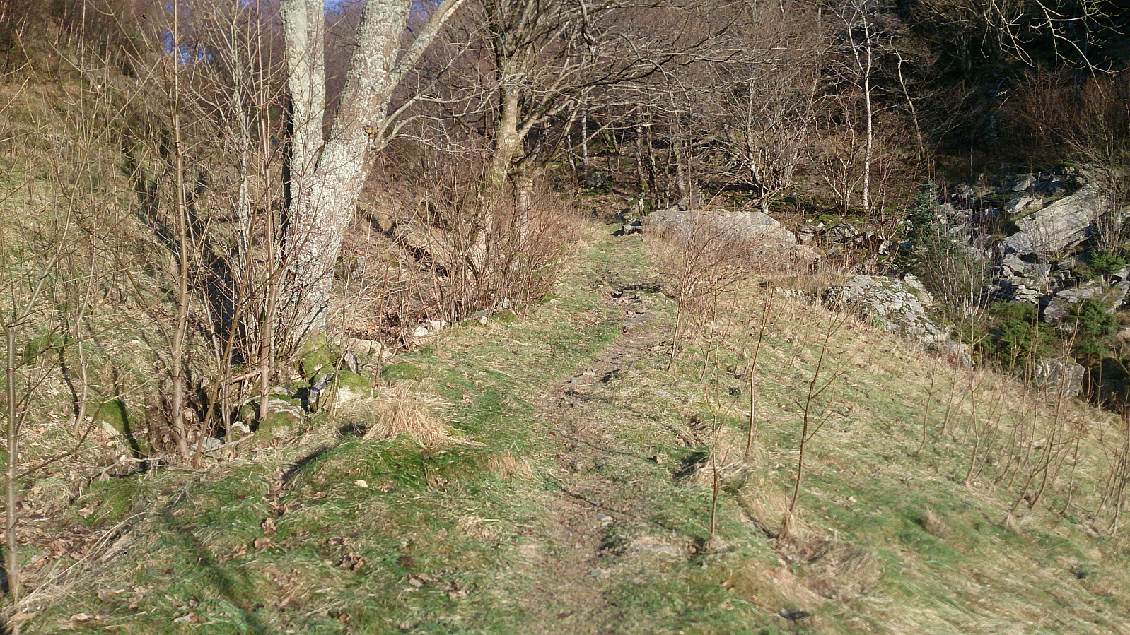
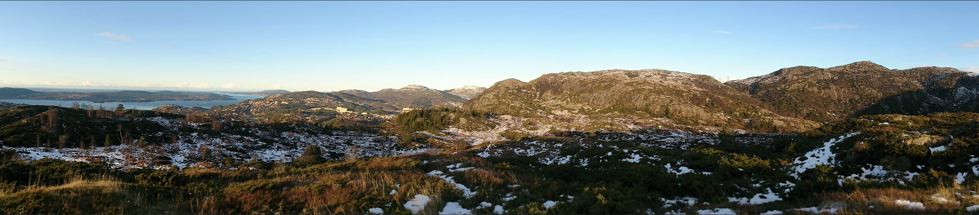
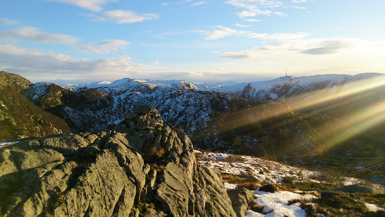
Started from the bus stop in Ervikveien (bus stop called "Øvre Ervik sør") and from there crossed the bridge to Glasskaret, which I then followed all the way to the top, before taking the (unmarked) trail towards Slettafjellet.
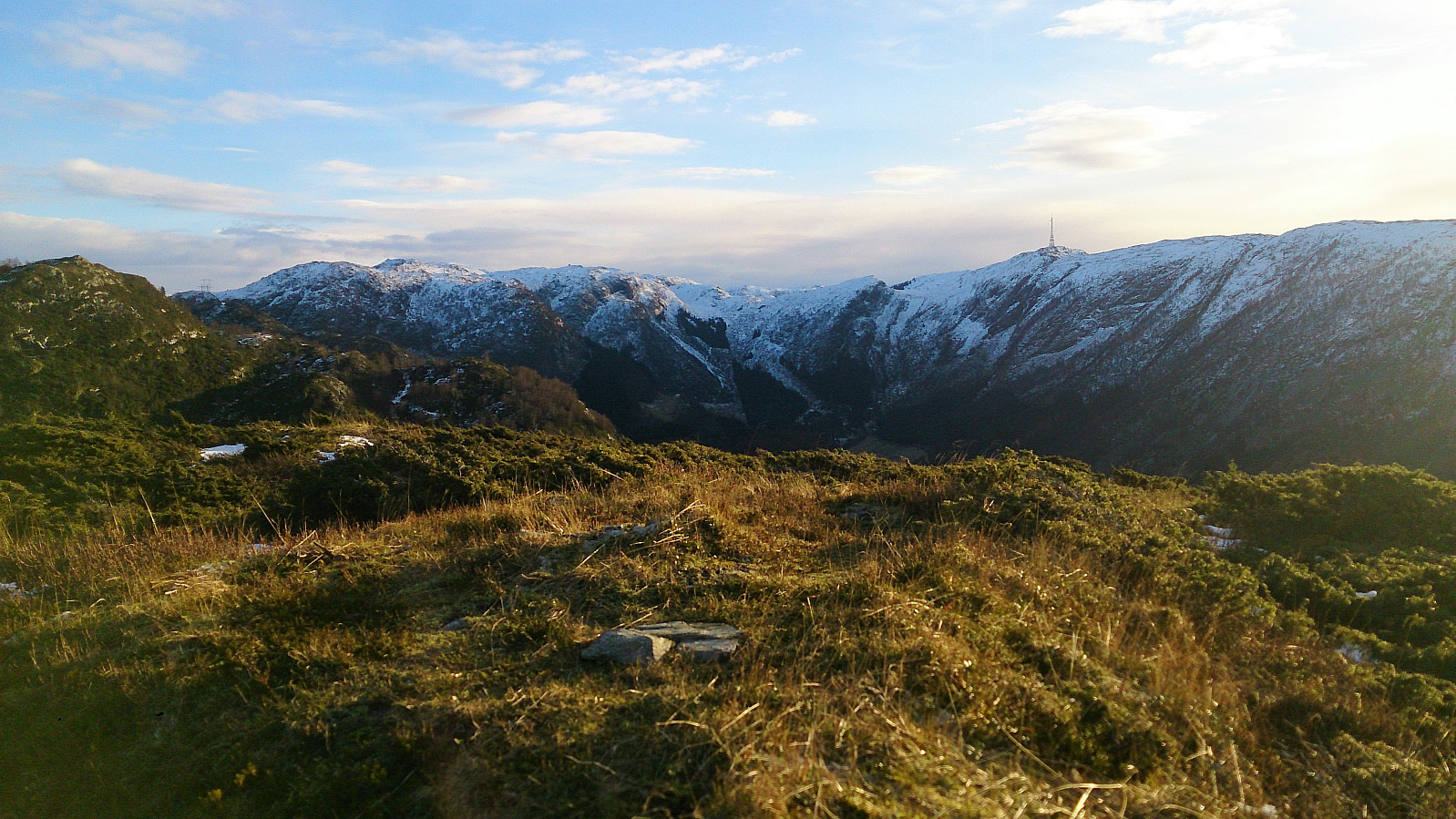
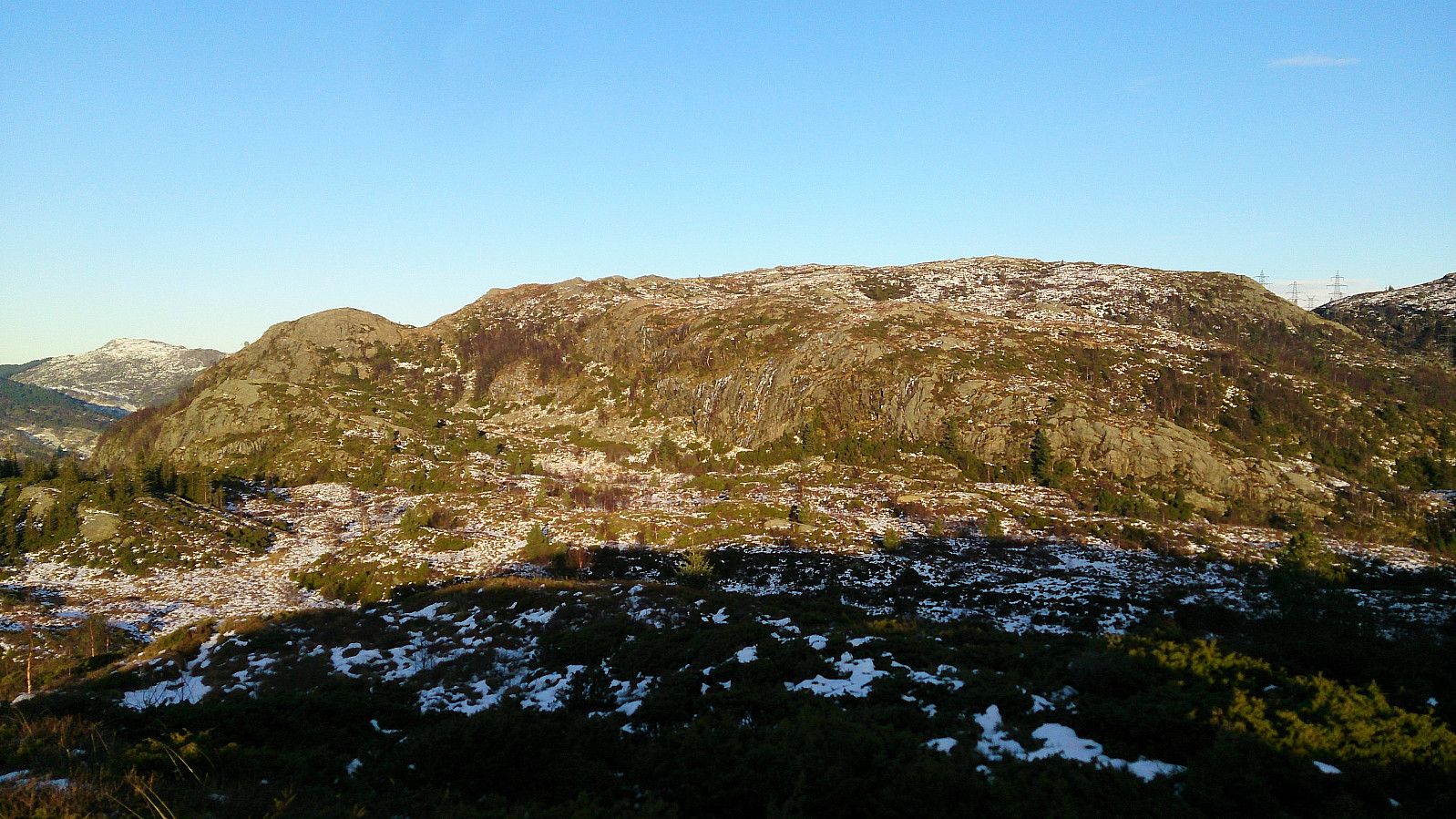
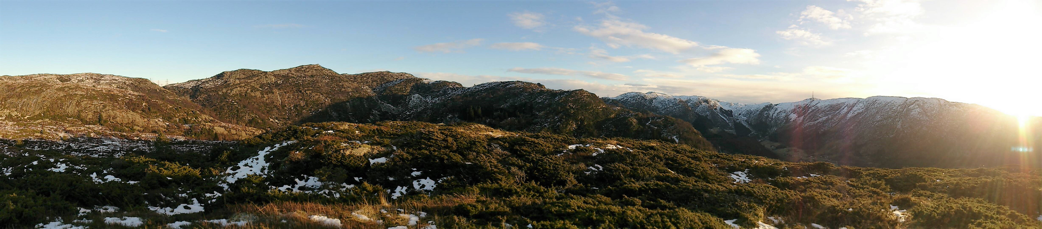
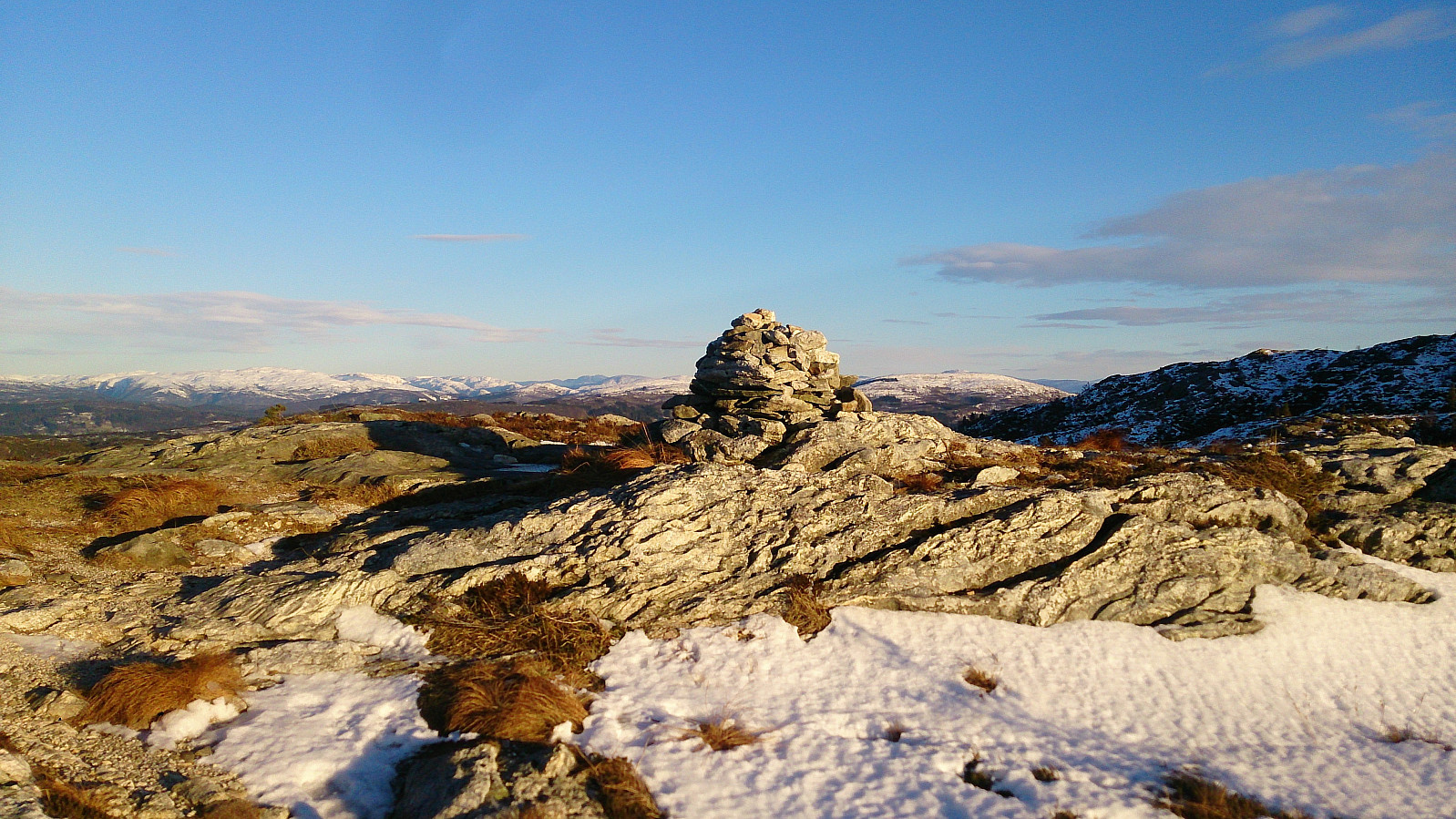
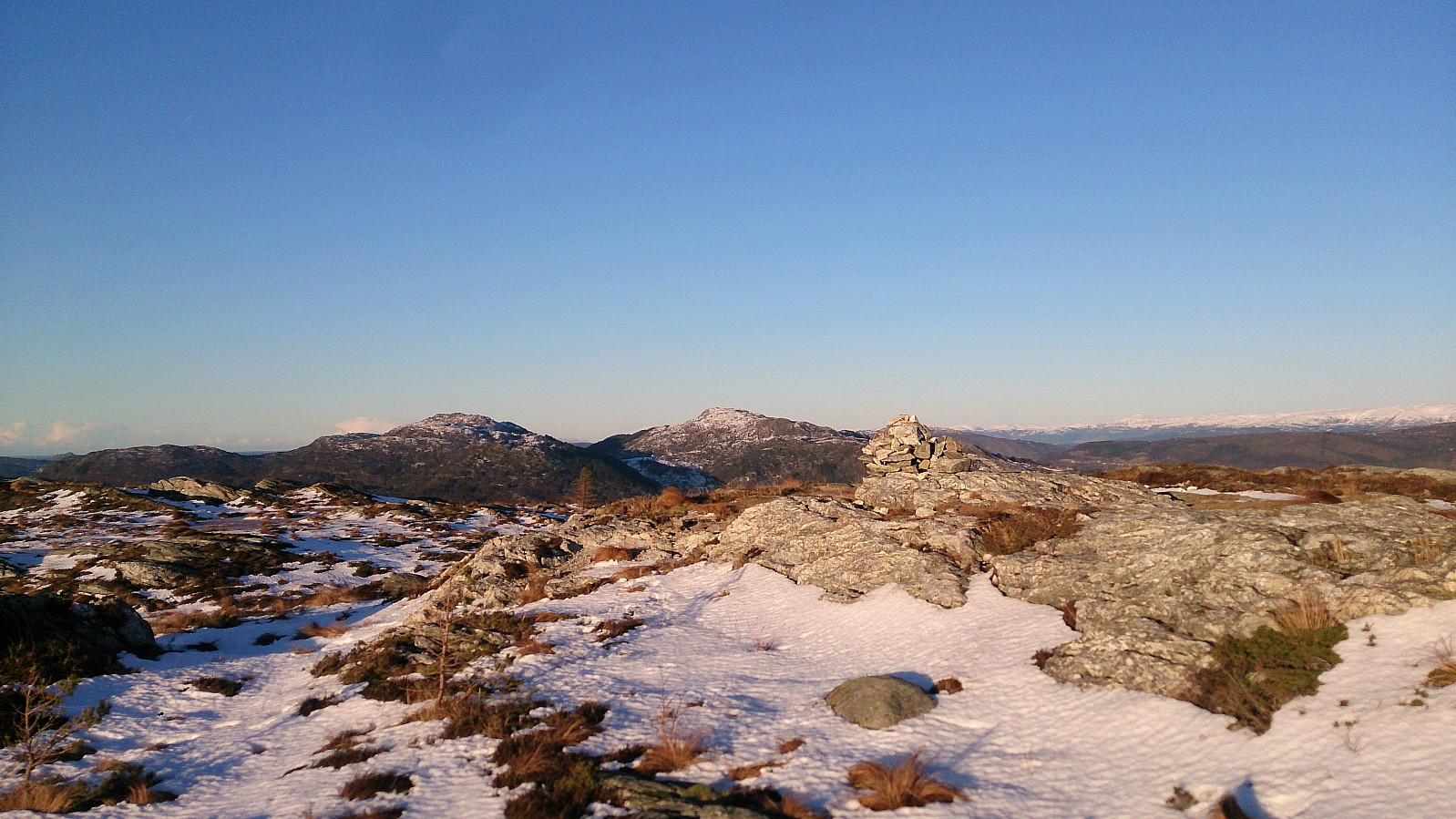
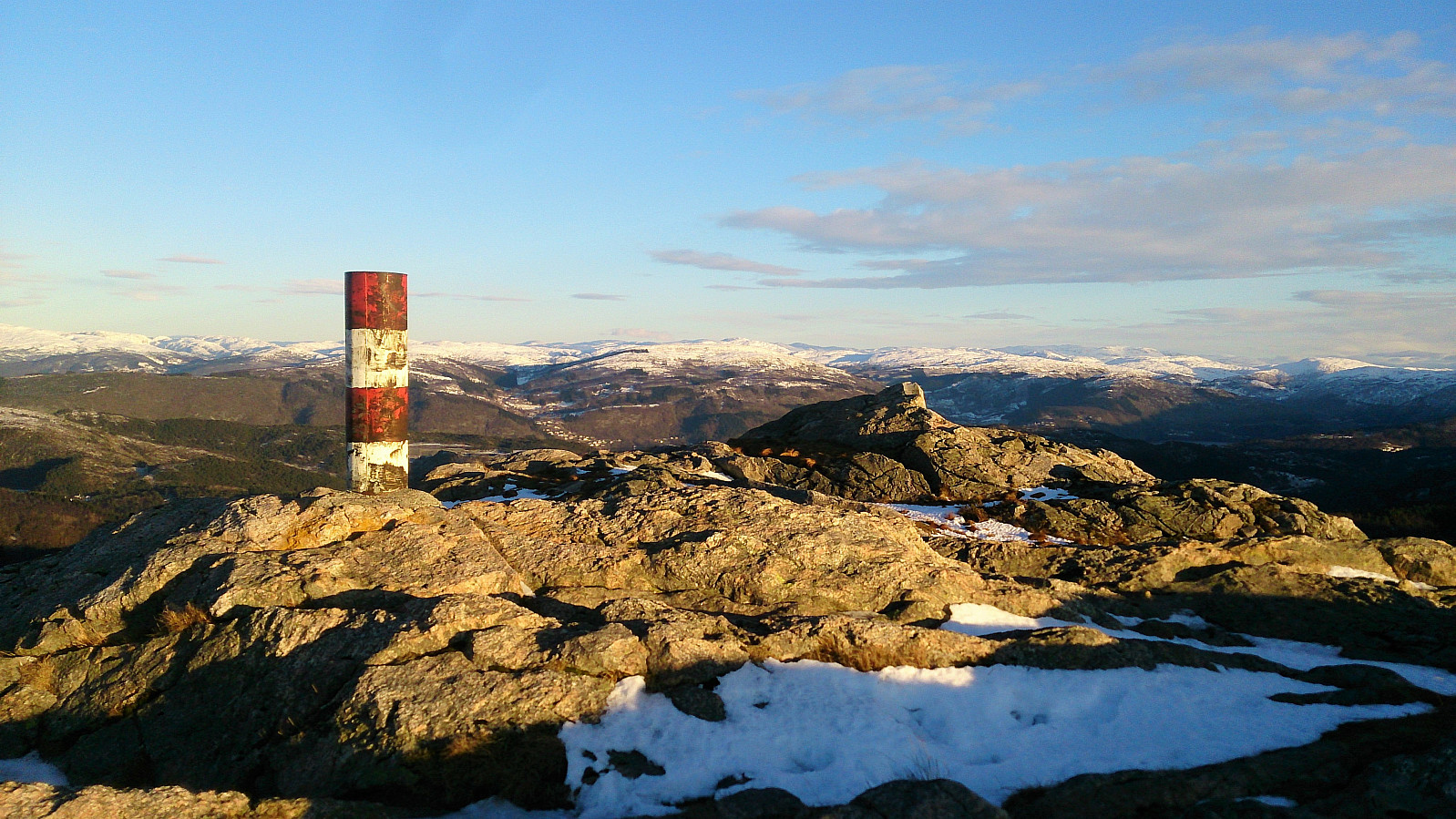
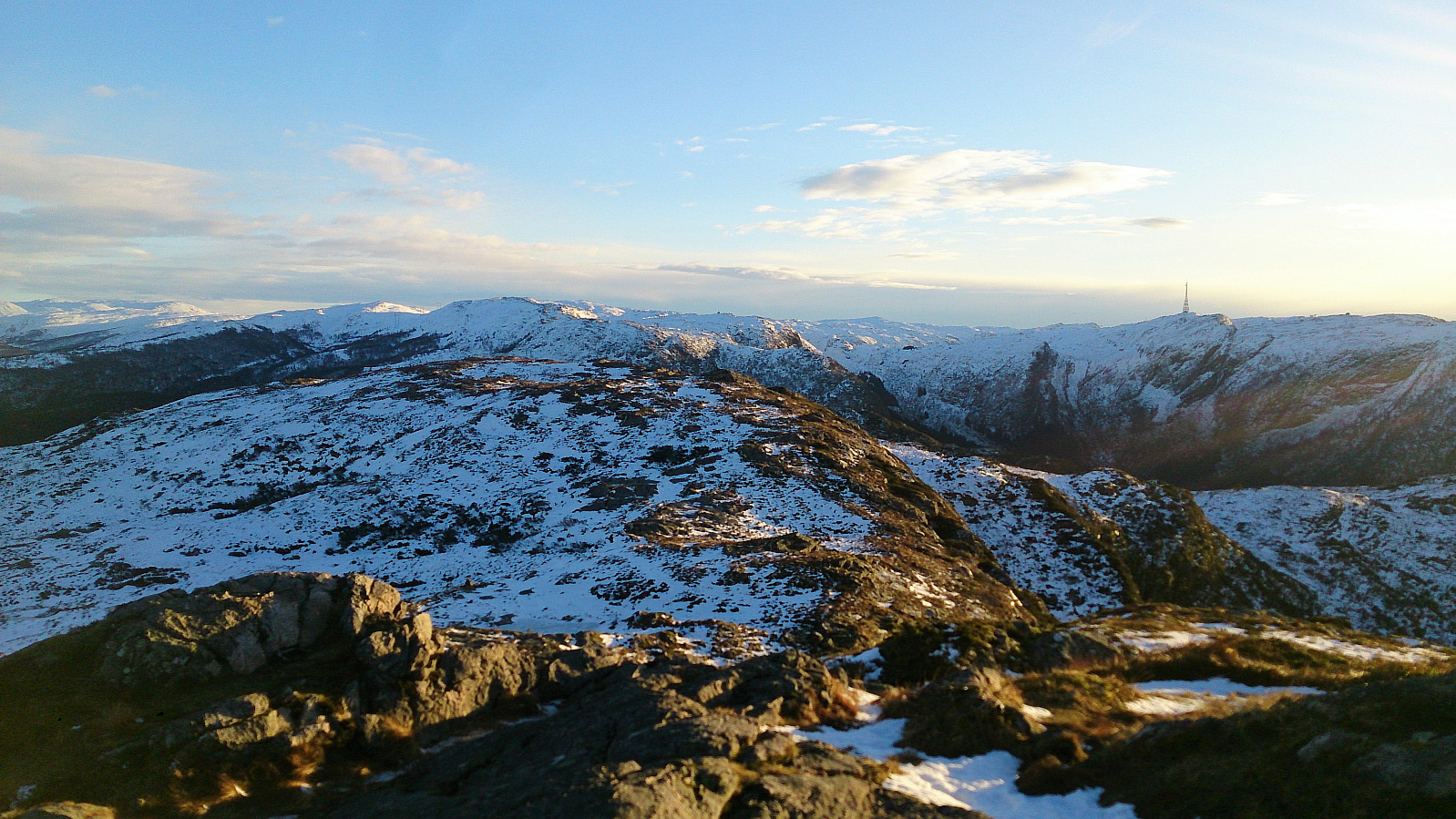
After a quick visit of Slettafjellet I continued north to Nukane, before crossing Storsåta on the way down to Raunfjellet.
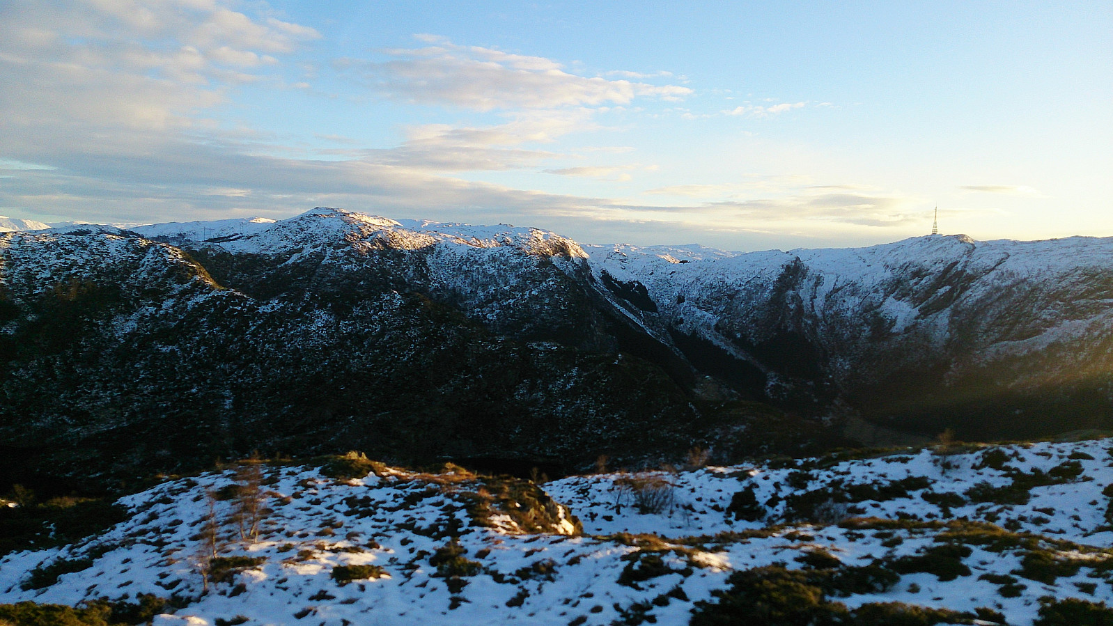
Usually the trail here is quite good, but today it was covered by snow and ice. Hence the GPS track does not follow the trail very closely. But when turning west towards Raunfjellet I came across a single pair of footprints in the snow, making it easier to follow the otherwise hidden trail.
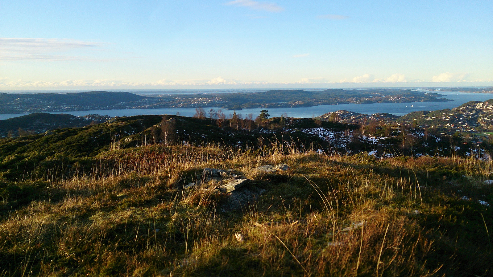
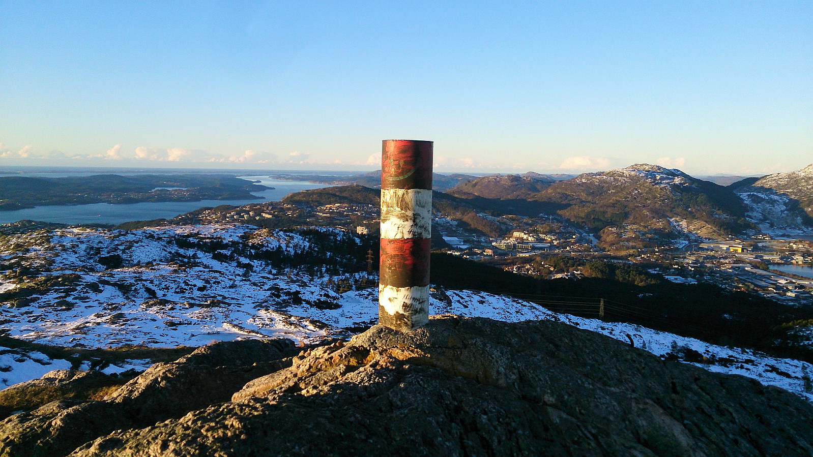
From Raunfjellet I continued down to Vinddalsveien, passing by Setervatnet on the way. The hike was then concluded by walking along the roads back to Lønborg.
| Startzeitpunkt | 30.11.2017 12:37 (UTC+01:00) |
| Endzeitpunkt | 30.11.2017 16:17 (UTC+01:00) |
| Gesamtzeit | 3h 39min |
| Zeit in Bewegung | 3h 27min |
| Pausenzeit | 0h 12min |
| Gesamtschnitt | 3,5km/h |
| Bewegungsschnitt | 3,7km/h |
| Entfernung | 12,7km |
| Höhenmeter | 766m |


Benutzerkommentare