
Hånipa, Erstadfjellet, Stemmeseggi and Såta (03.09.2017)

Geschrieben von hbar (Harald Barsnes)

| Startpunkt | Valestrand kai (2m) |
|---|---|
| Endpunkt | Valestrand kai (2m) |
| Tourcharakter | Bergtour |
| Tourlänge | 5h 57min |
| Entfernung | 17,6km |
| Höhenmeter | 976m |
| GPS |
|
| Besteigungen | Erstadfjellet (465m) | 03.09.2017 |
|---|---|---|
| Hånipa (346m) | 03.09.2017 | |
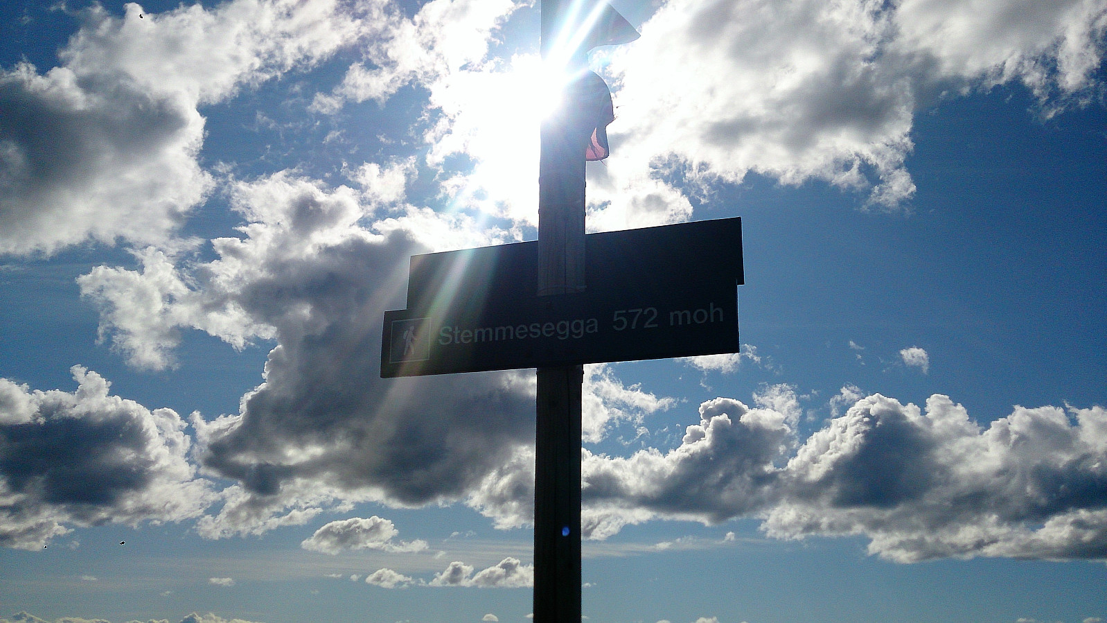
| Stemmesegga (573m) | 03.09.2017 | |
| Såta på Osterøy (390m) | 03.09.2017 | |
| Besuche anderer PBE | Daltveit p-lomme (170m) | 03.09.2017 |
| Vest for Erstadfjellet (440m) | 03.09.2017 |
Hånipa, Erstadfjellet, Stemmeseggi and Såta


Hånipa
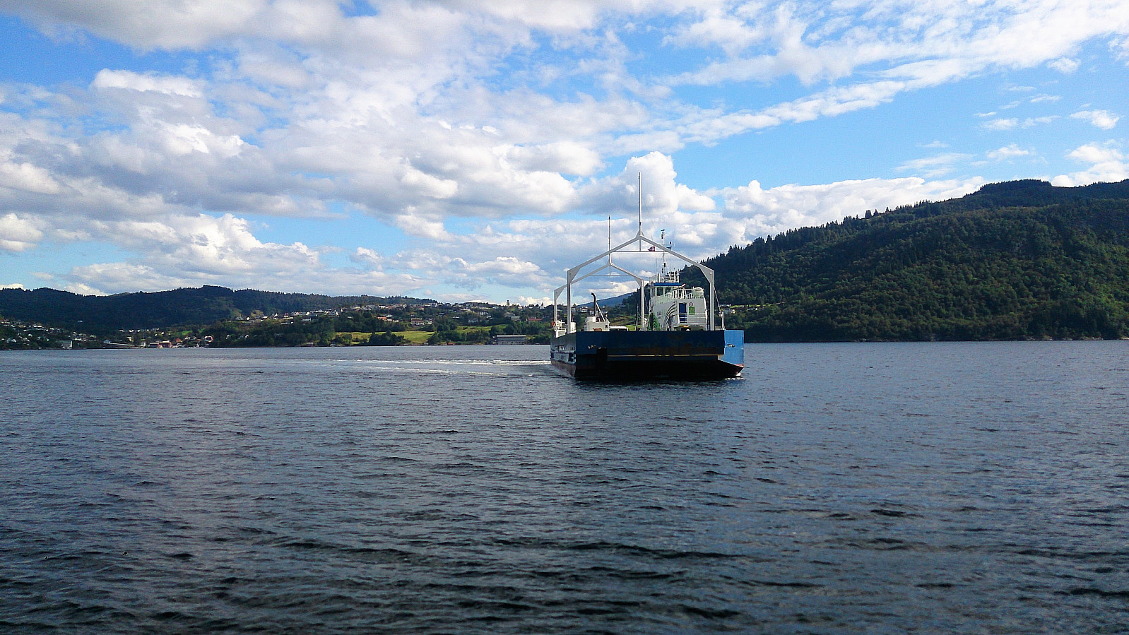
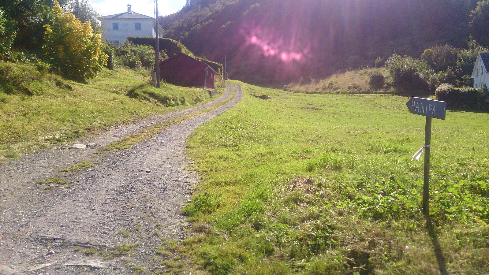
Started by taking the bus to "Breistein kai" and the ferry to Valestrand. From there I walked south along the road to Reistad where I located the marked start of the trail to Hånipa. The initial sign was found at the crossroads at the main road, while the second sign was a bit more hidden. Make sure to look to your right (southwest) just after passing the small barn on the right side of the road.
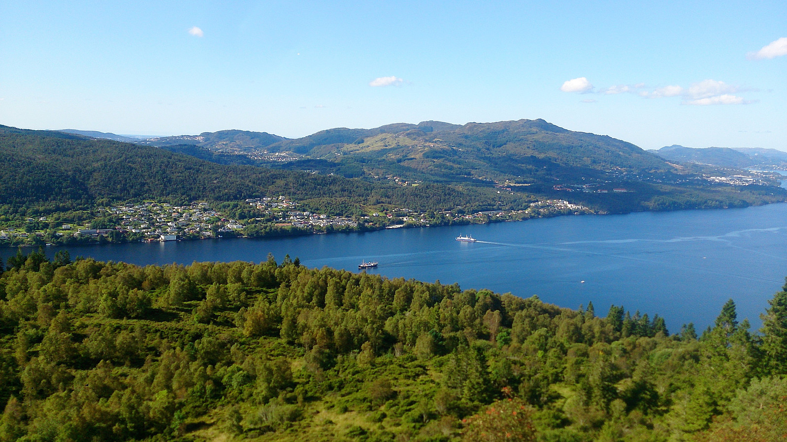
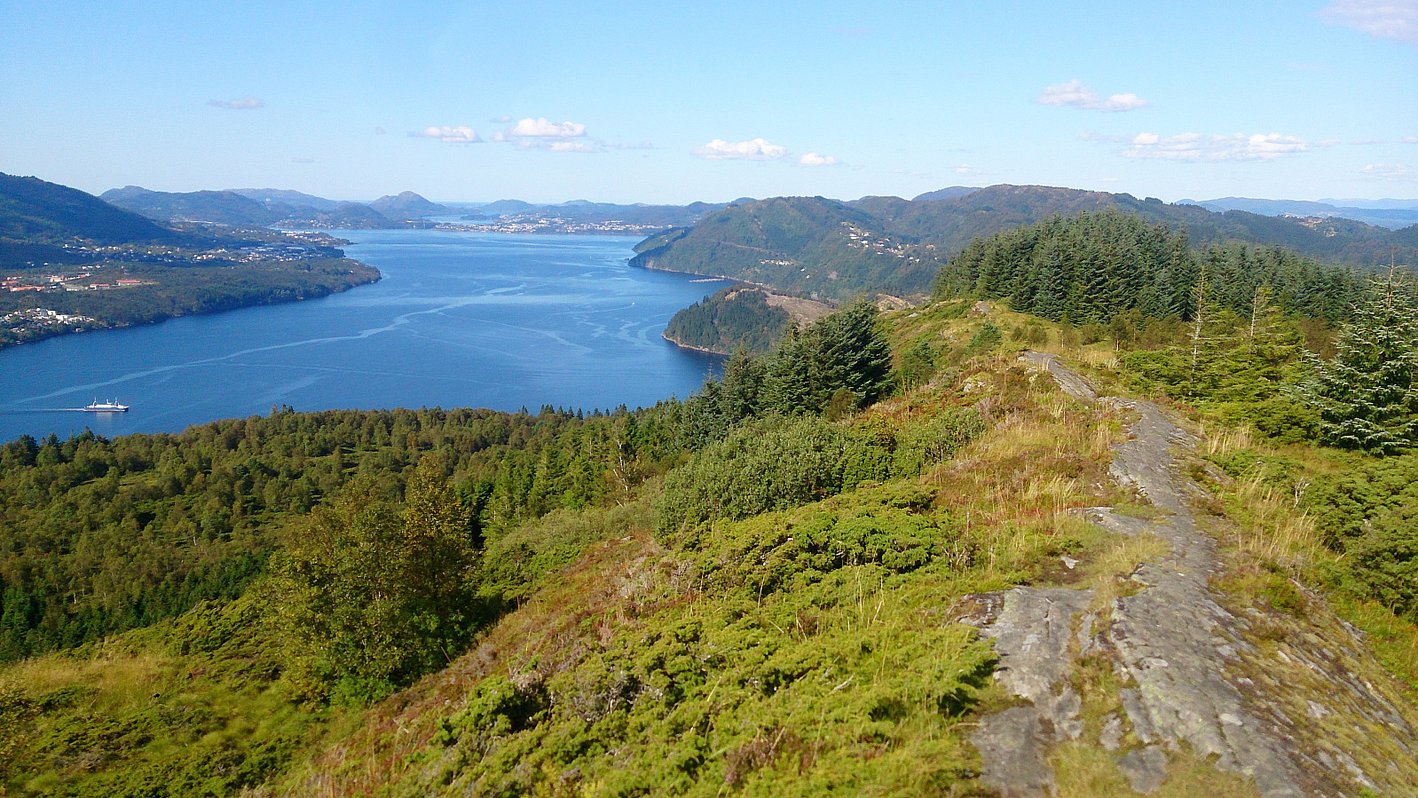
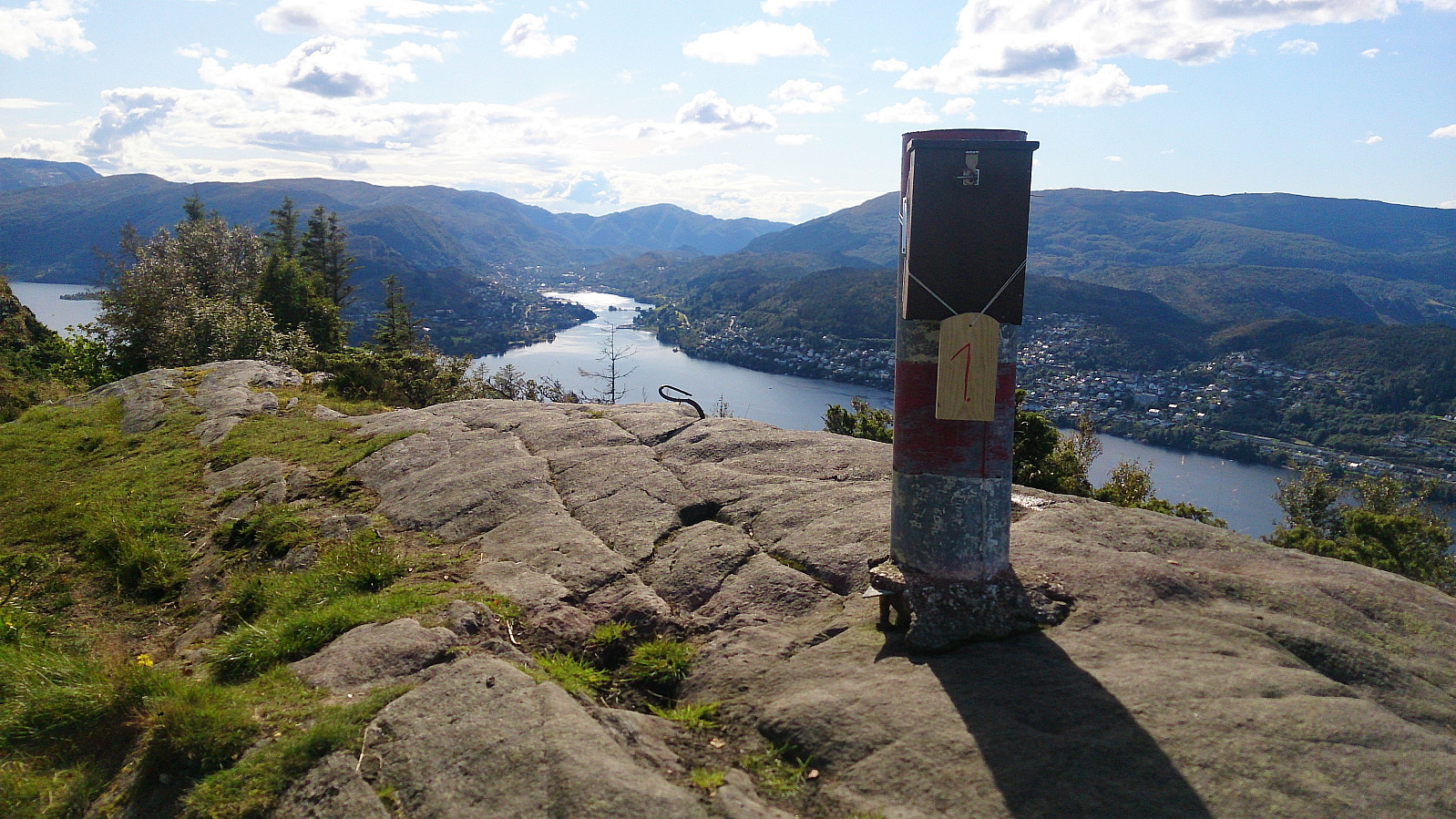
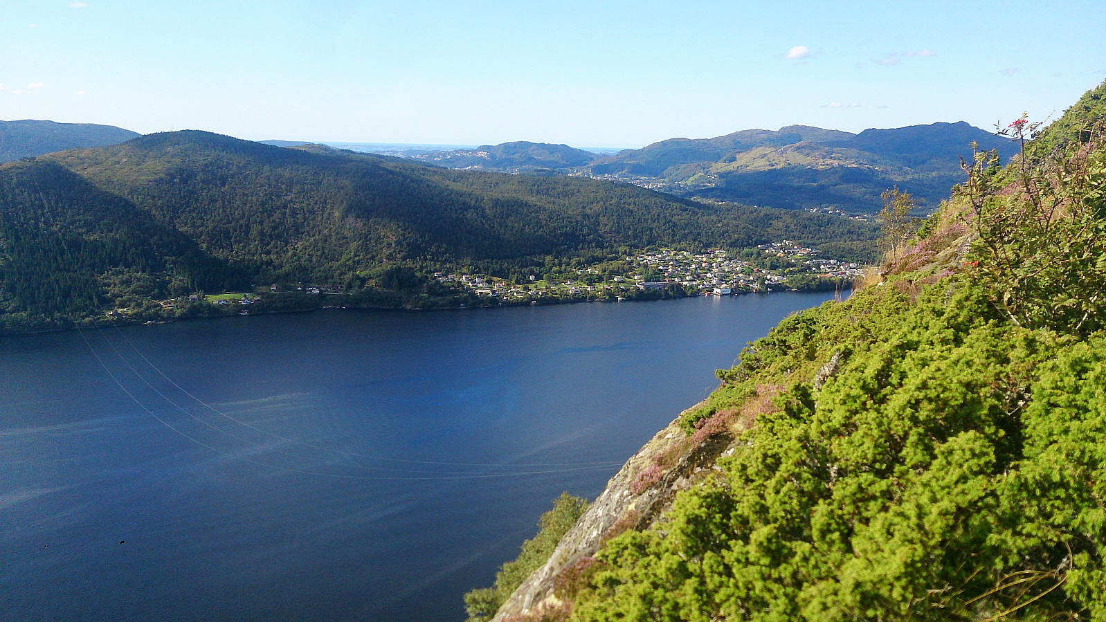
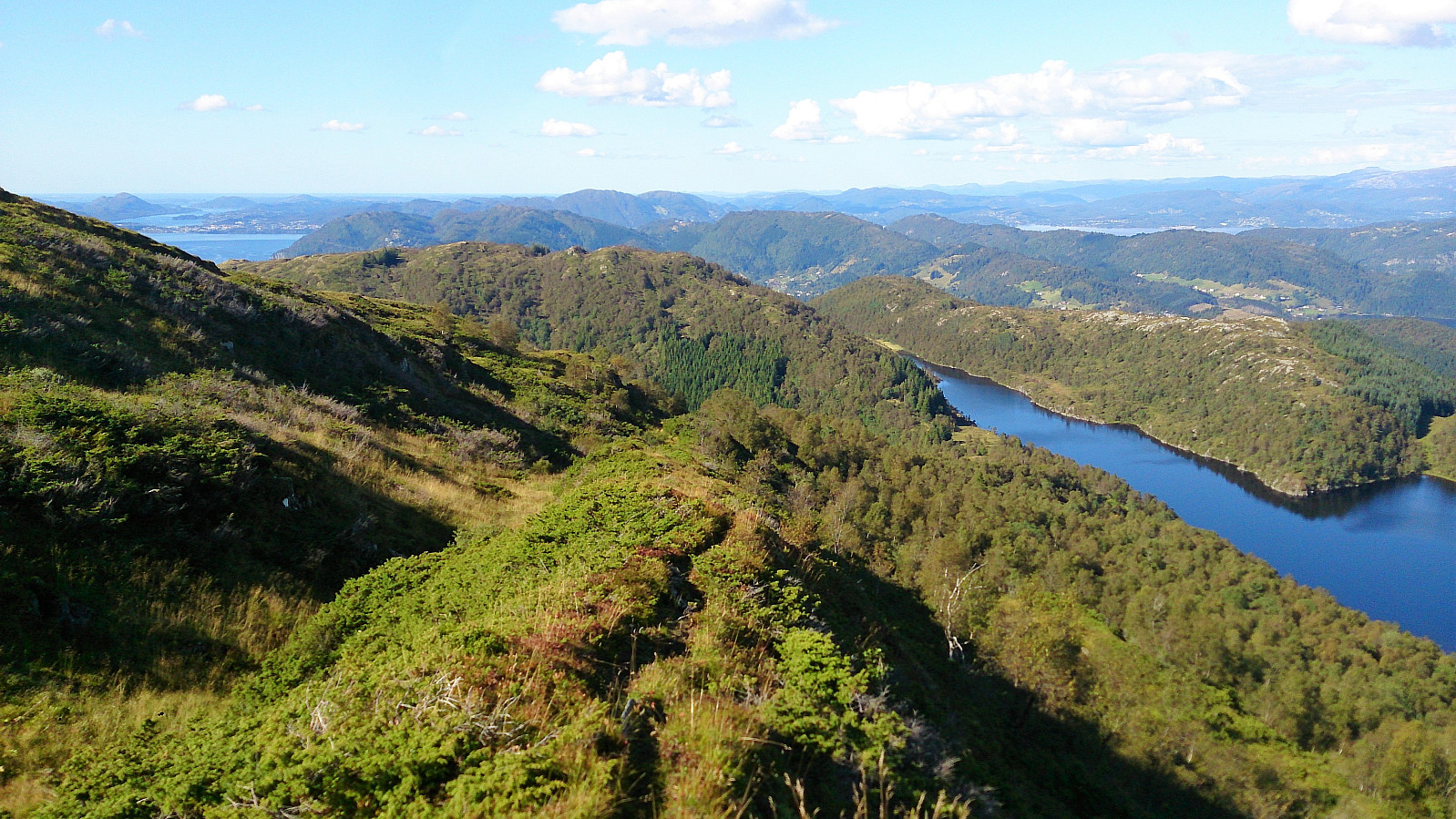
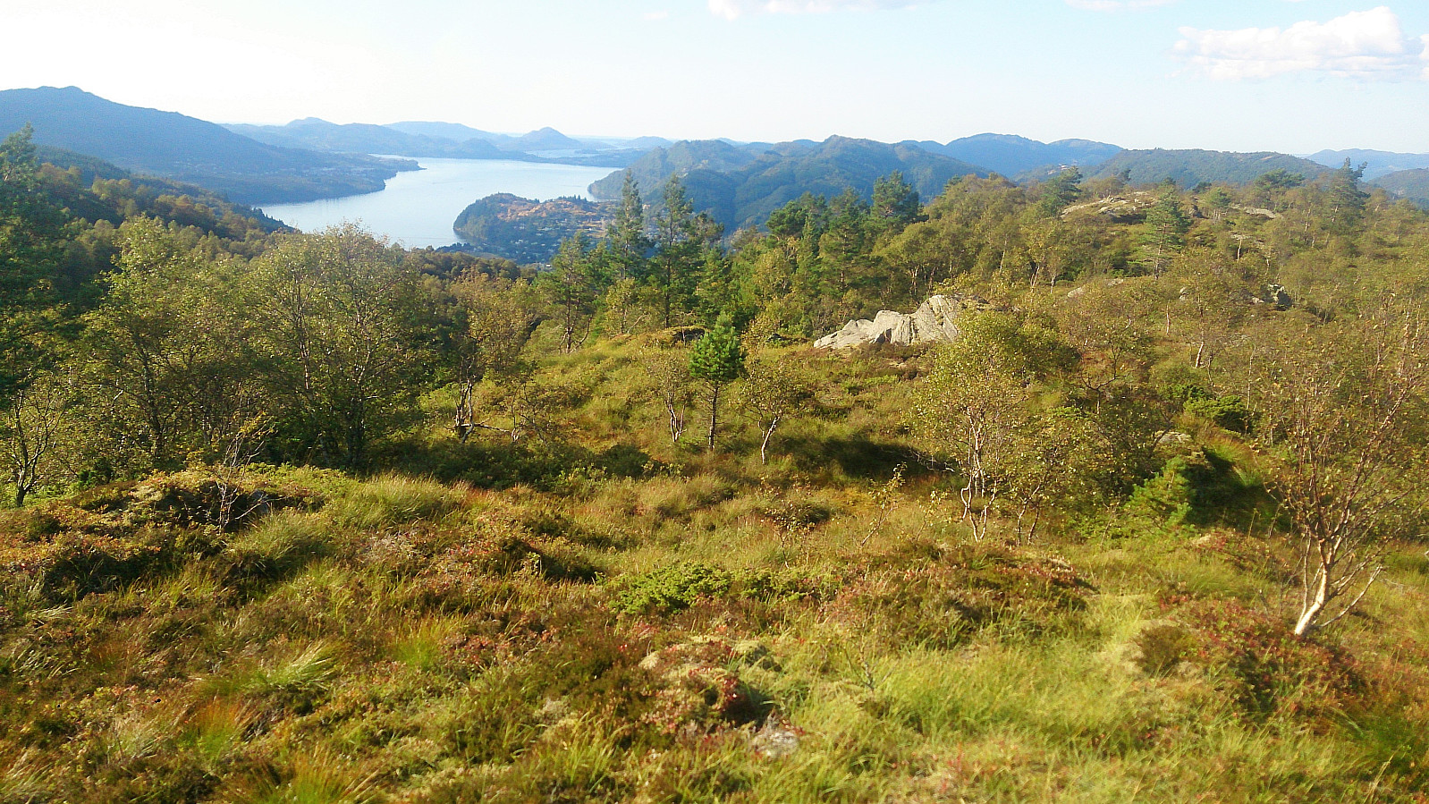
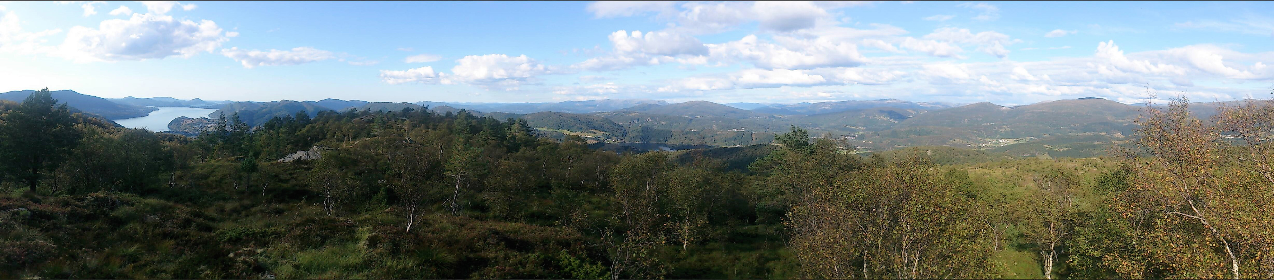
While the trail started out a bit hidden in between the vegetation, this quickly improved and the trail turned out very nice. Especially as soon as the fjord started becoming visible through the trees. The trail more or less followed the ridge of the mountain until reaching the trig marker, with excellent views from the summit.
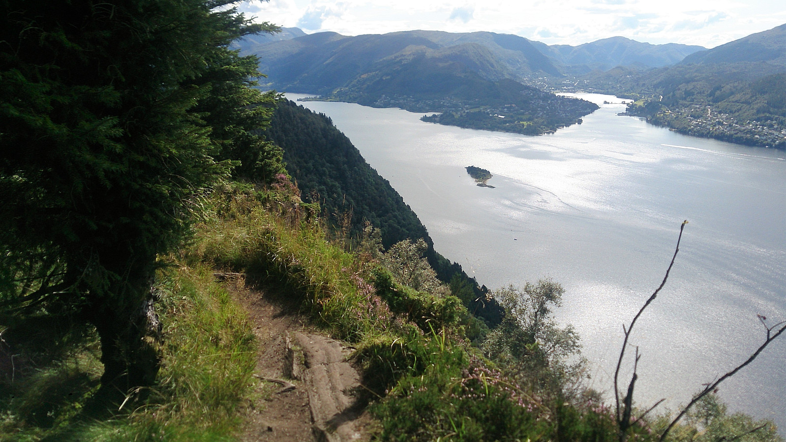
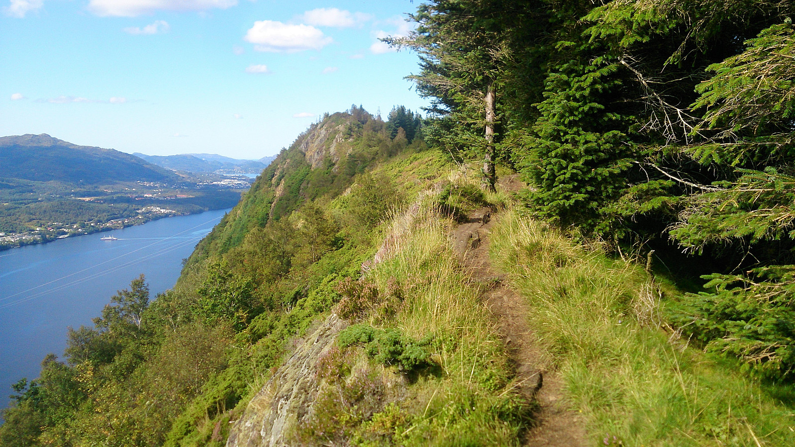
From the summit I continued southeast along the trail, which now at times went pretty close to the edge of the cliff, again providing excellent views, now south towards Arna. The trail then turned east/northeast until reaching a tractor road, which I followed northwest for a couple hundred meters before locating the sign for Erstadfjellet.
Erstadfjellet
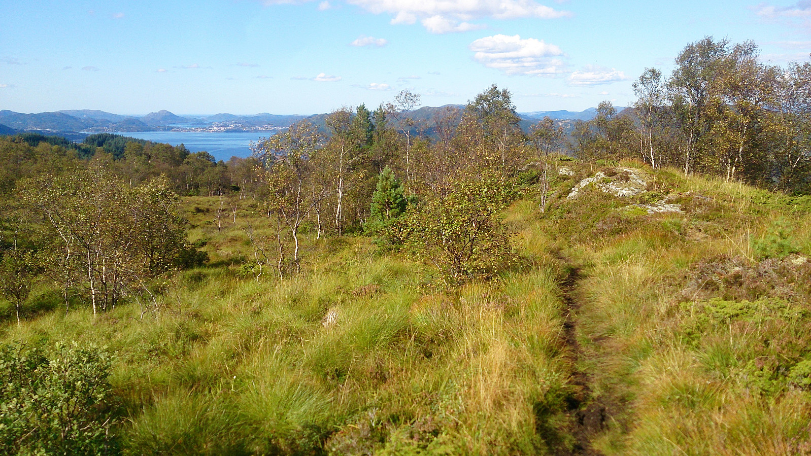
This trail started out rather wet, and it was clear that the trail was not as heavily used as the one to Hånipa. However, as it connected with another trail coming from the north the quality improved somewhat, but there were still plenty of wet areas on the way to the summit.
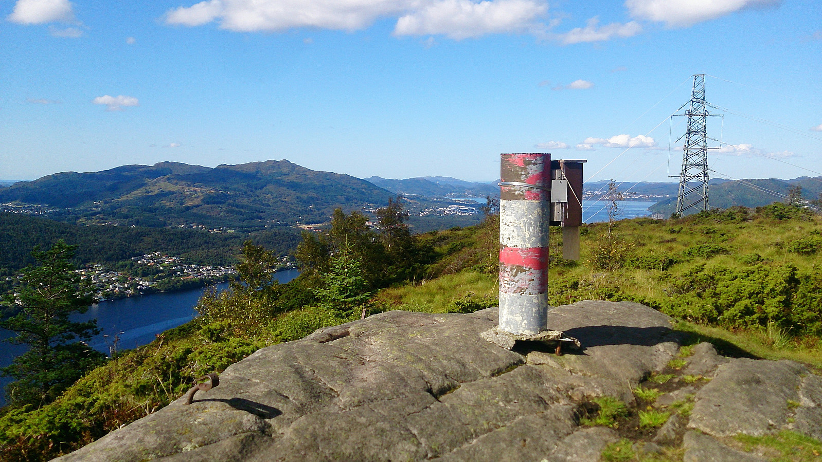
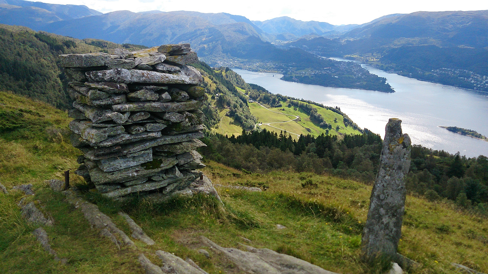
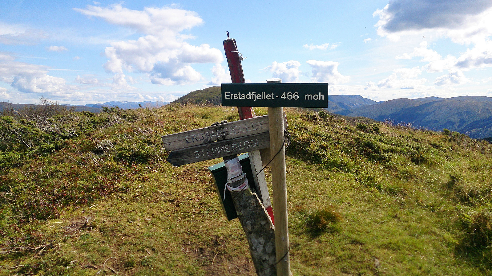
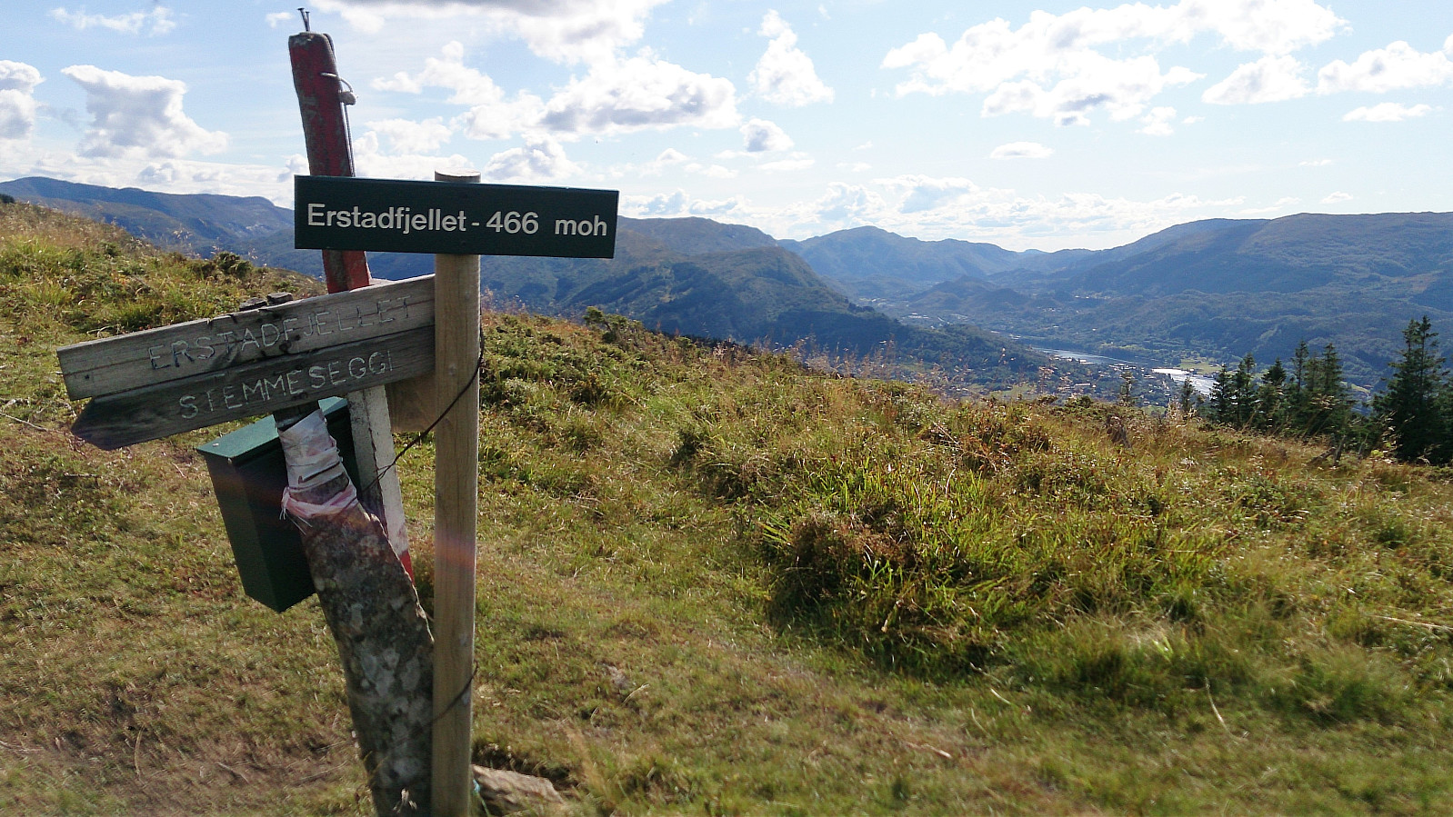
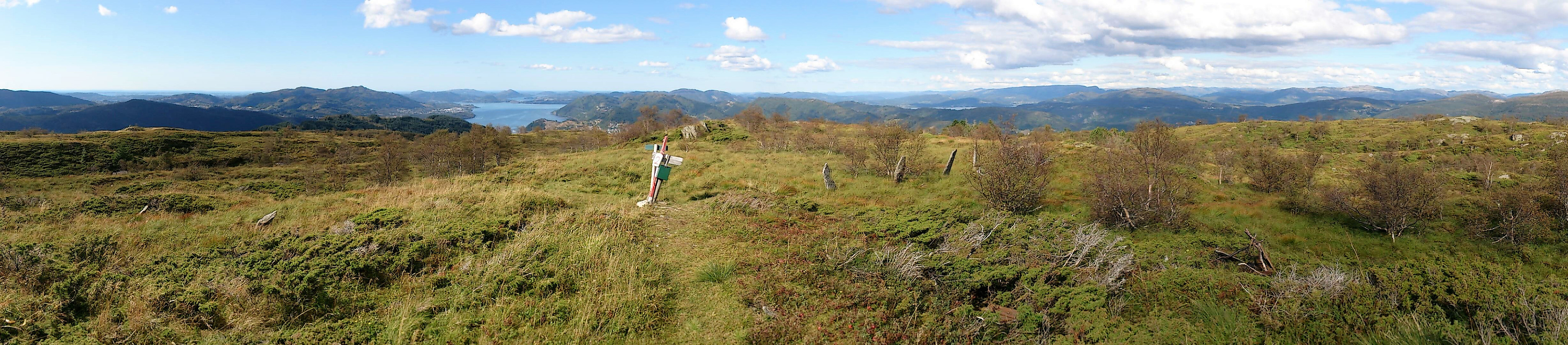
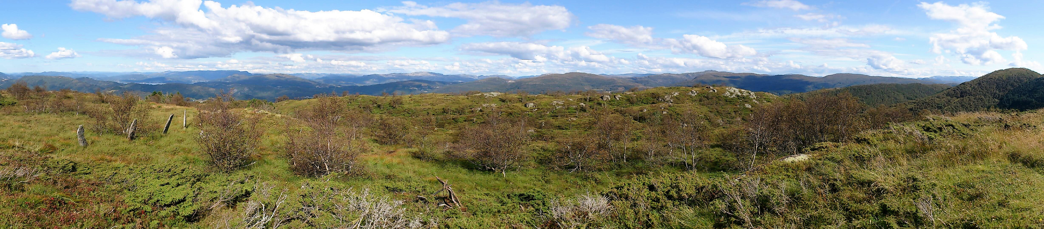
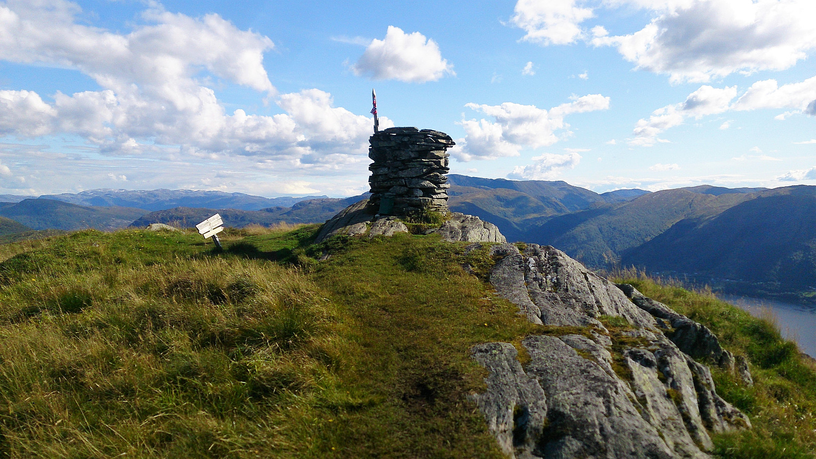
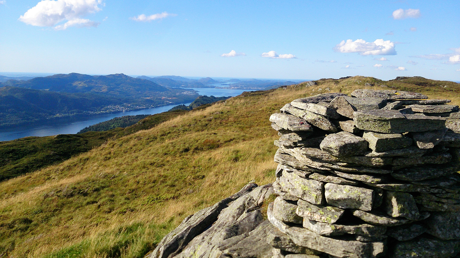
As the trail got closer to the summit, the trees were finally left behind and the views greatly improved. A large cairn also becomes visible, which I at first assumed was the summit of Erstadfjellet. But upon reaching the cairn I realized this was simply a viewpoint and that the actual summit was a bit more than 200 meters to the east, and did not contain its own cairn. It was marked by a sign and a visitor register though, and had excellent views in all directions.
Stemmeseggi
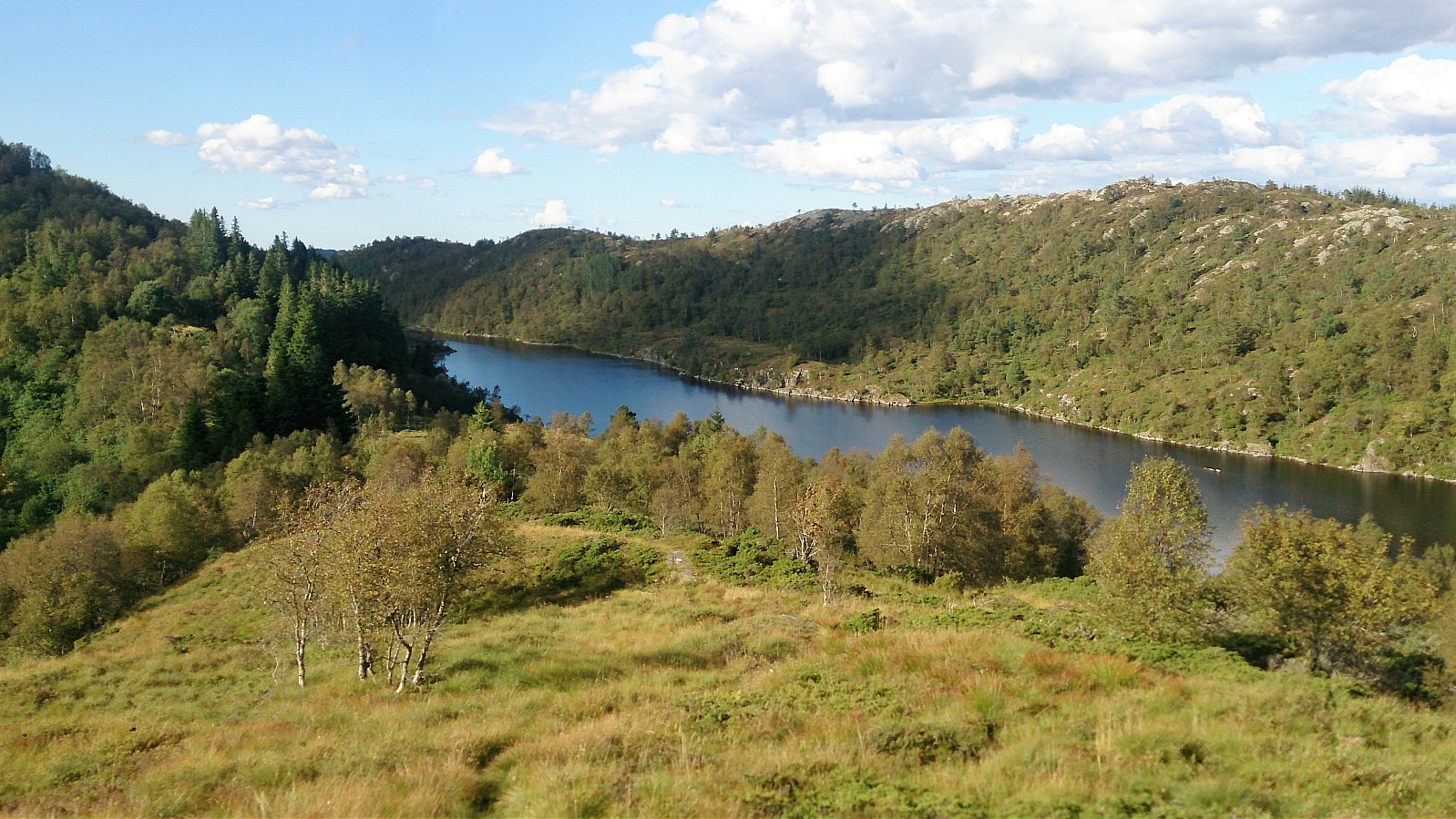
From Erstadfjellet I followed the marked trail towards Stemmeseggi, taking me down to Askelandsvatnet. This section contained numerous wet and muddy marshes that had to be crossed, with very little chance of crossing without getting wet. The trail itself was easy enough to follow though, but seemed even less used than the trail I had used to ascend to Erstadfjellet.
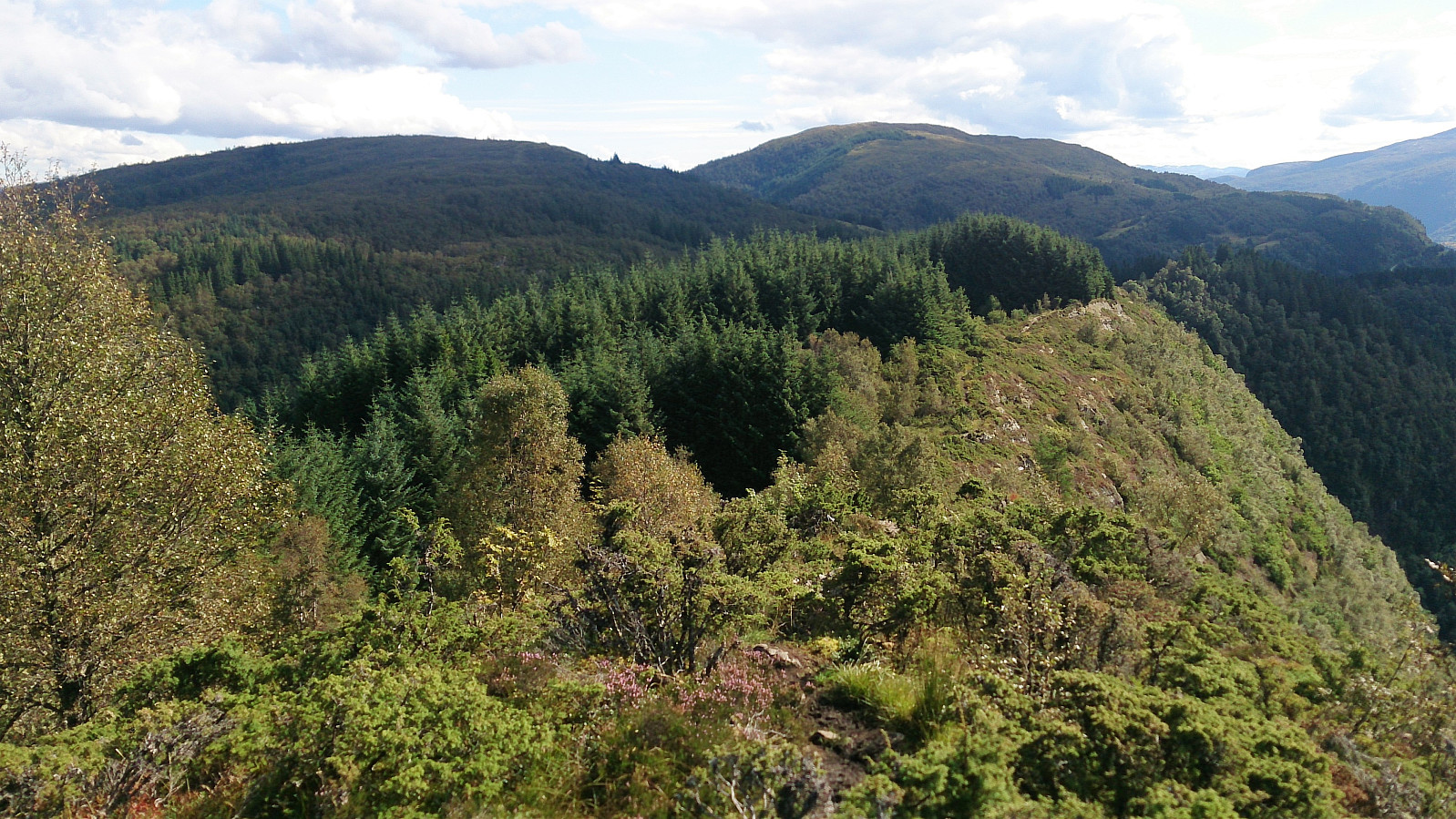
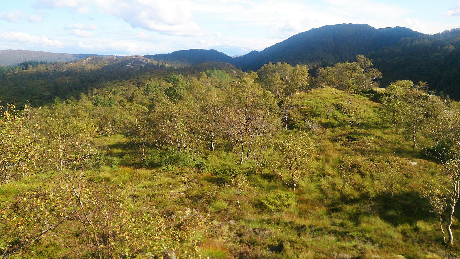
Upon reaching Askelandsvatnet the trail split into one trail going north along the lake and one weaker trail heading south towards Stemmeseggi. I chose the latter and started my ascent along a trail that got a bit weak at times, but could be followed without much difficulty. The final section towards the summit was especially enjoyable as it followed a smaller ridge east of the main ridge.
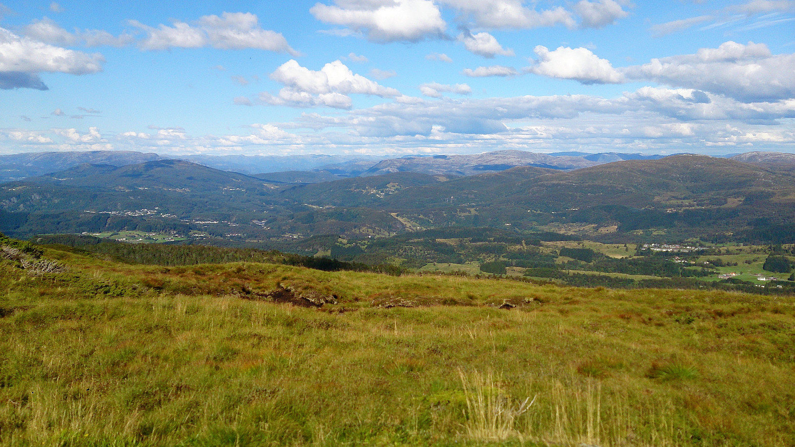
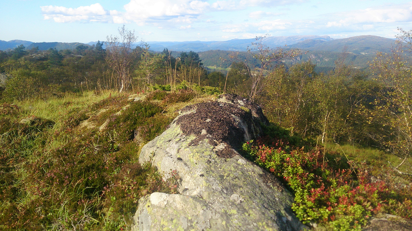
Towards the end I lost the trail as it was crossing a marsh, but I quickly relocated it and shortly arrived at the large cairn for excellent views in all directions. After a short break, I returned the same way down to Askelandsvatnet for the last goal of the day: Såta.
Såta
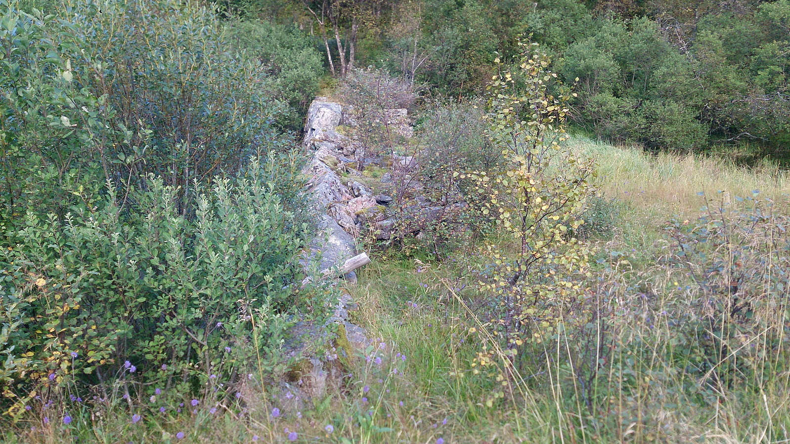
Thanks to Knut Sverre's trip report for Såta I knew where to look for the start of the trail, i.e. by the old dam. I therefore continued north along Askelandsvatnet on a weak trail that went by the water’s edge until reaching the dam.
After crossing the dam, I saw the indications of the trail mentioned by Knut Sverre. Perhaps more of an animal track than a trail though, but it did make the climb much easier. No trails at all towards the summit, but several animal tracks that made the progress slightly simpler, although it was still quite wet.
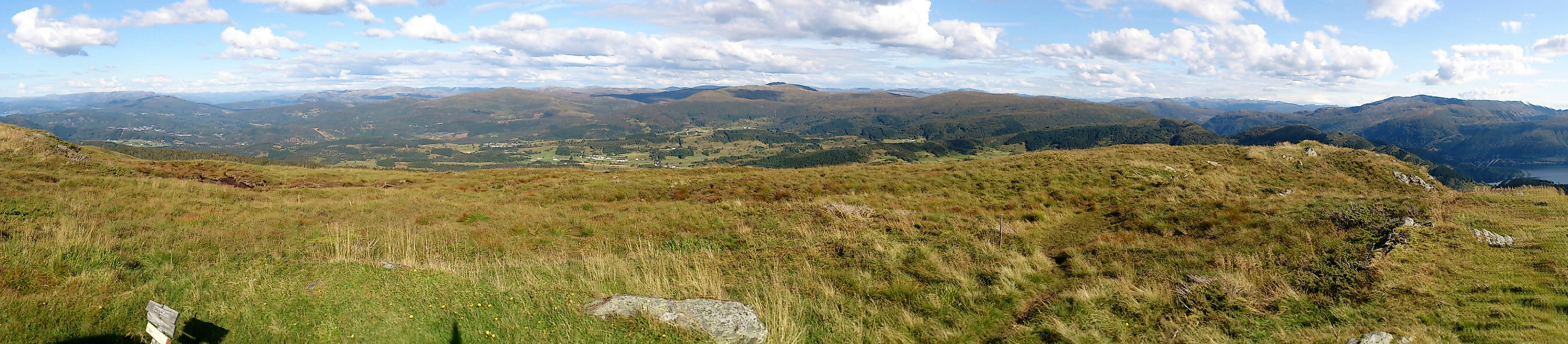
The summit was quickly reached, providing much better views than expected. Still pretty sure this will be the only time I will visit this peak though. After the required pictures, I returned to the old dam, from where I followed a surprisingly steep gravel road down to Daltveit. The hike was then concluded by walking along the roads to Valestrand for the ferry across the fjord.
Conclusion
A hike that can be very highly recommended (well, except for Såta, which is only for those collecting the Opptur Bergen list). And although the quality of the trails was variable, though overall easy to follow, the excellent views more than made up for this.
It should also be mentioned that this hike is more accessible than one may expect, with the frequent buses to Breistein and the even more frequent ferries across the fjord, especially on Sundays.


| Startzeitpunkt | 03.09.2017 12:12 (UTC+01:00 SZ) |
| Endzeitpunkt | 03.09.2017 18:10 (UTC+01:00 SZ) |
| Gesamtzeit | 5h 57min |
| Zeit in Bewegung | 5h 20min |
| Pausenzeit | 0h 37min |
| Gesamtschnitt | 3,0km/h |
| Bewegungsschnitt | 3,3km/h |
| Entfernung | 17,6km |
| Höhenmeter | 976m |


Benutzerkommentare