
Kaupangsholtane (25.05.2017)

Geschrieben von hbar (Harald Barsnes)

| Startpunkt | Haukåsvegen (222m) |
|---|---|
| Endpunkt | Haukåsvegen (223m) |
| Tourcharakter | Bergtour |
| Tourlänge | 1h 58min |
| Entfernung | 6,1km |
| Höhenmeter | 279m |
| GPS |
|
| Besteigungen | Kaupangsholtane (422m) | 25.05.2017 |
|---|---|---|
| Besuche anderer PBE | Kaupangerholten p-lomme (225m) | 25.05.2017 |
| Kaupangsholten (294m) | 25.05.2017 | |
| Kronprins Haralds Plass (388m) | 25.05.2017 |
Kaupangsholtane
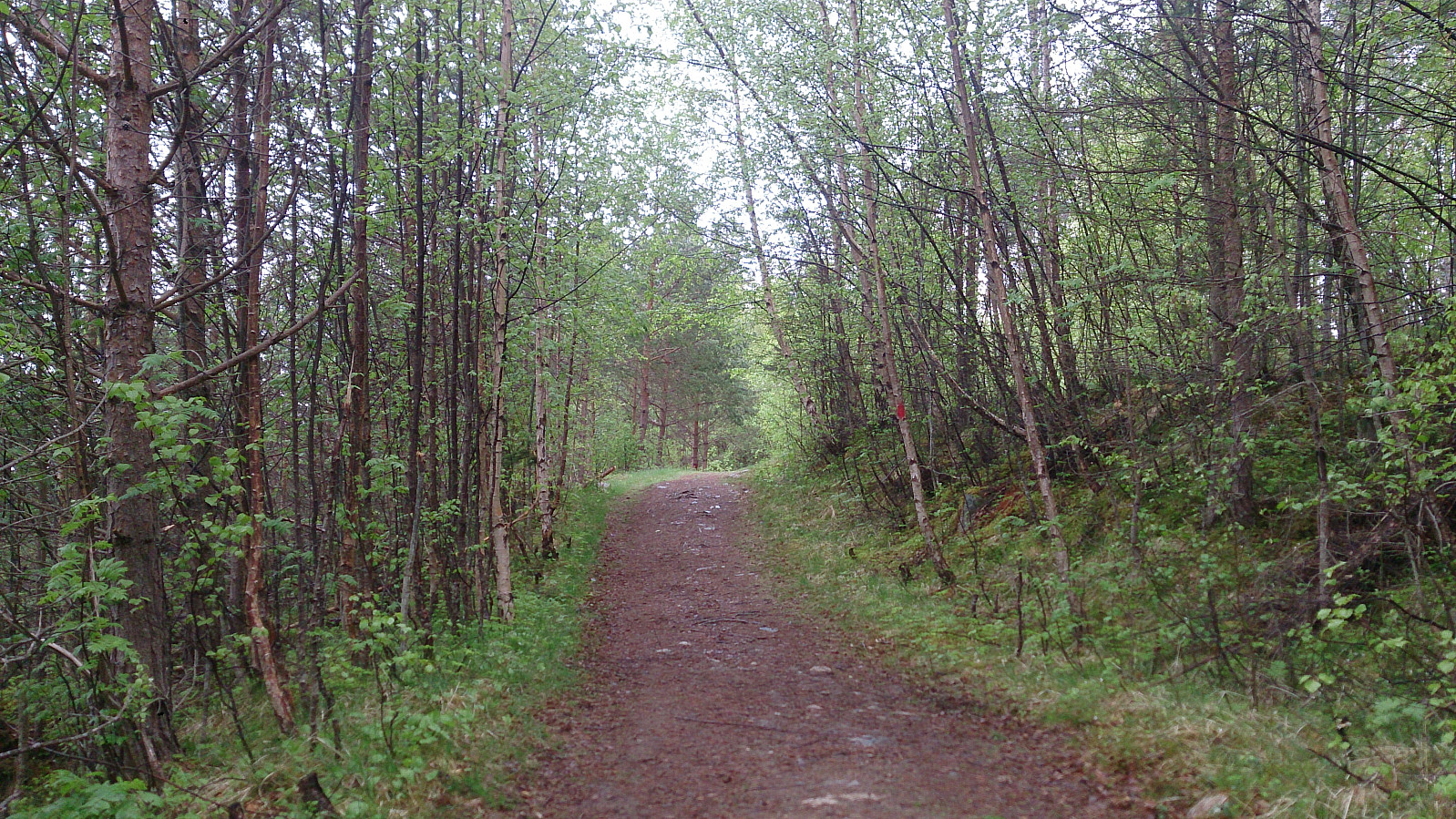
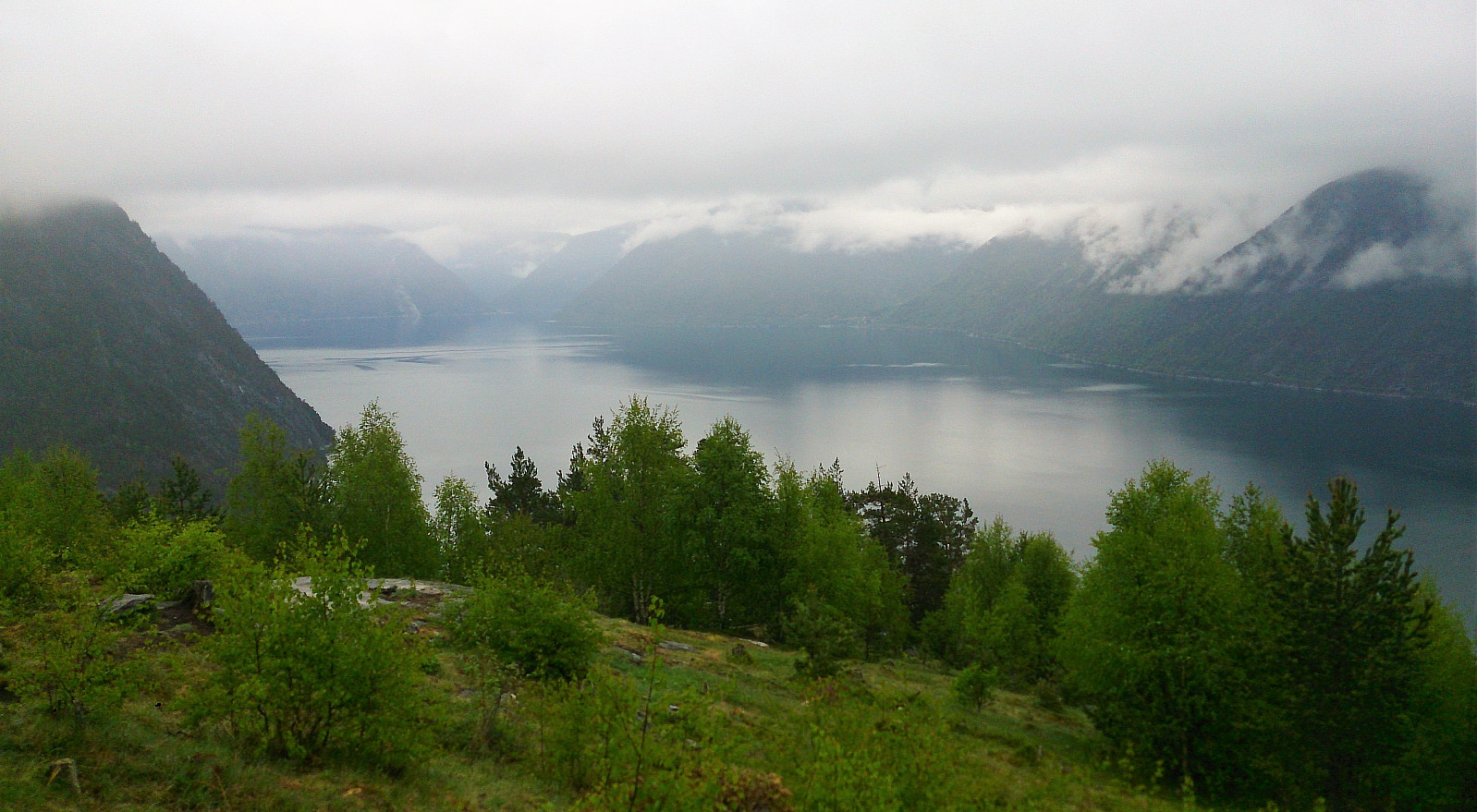
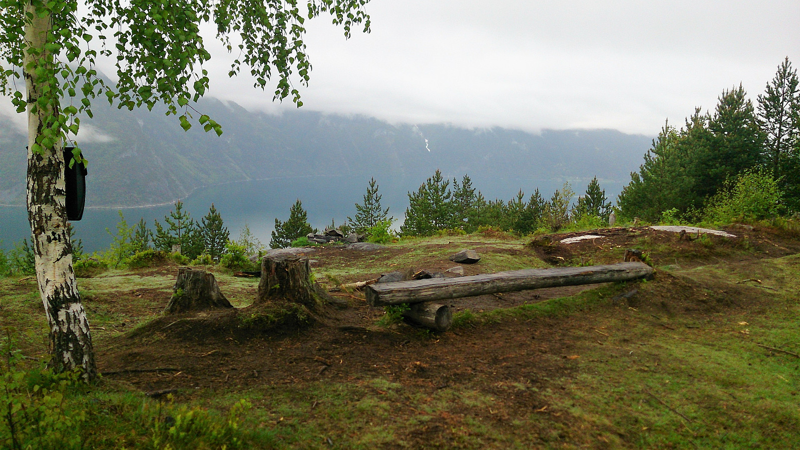
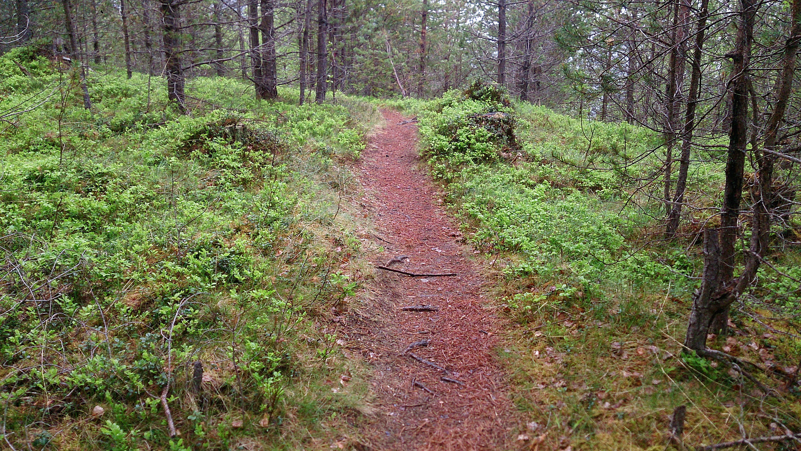
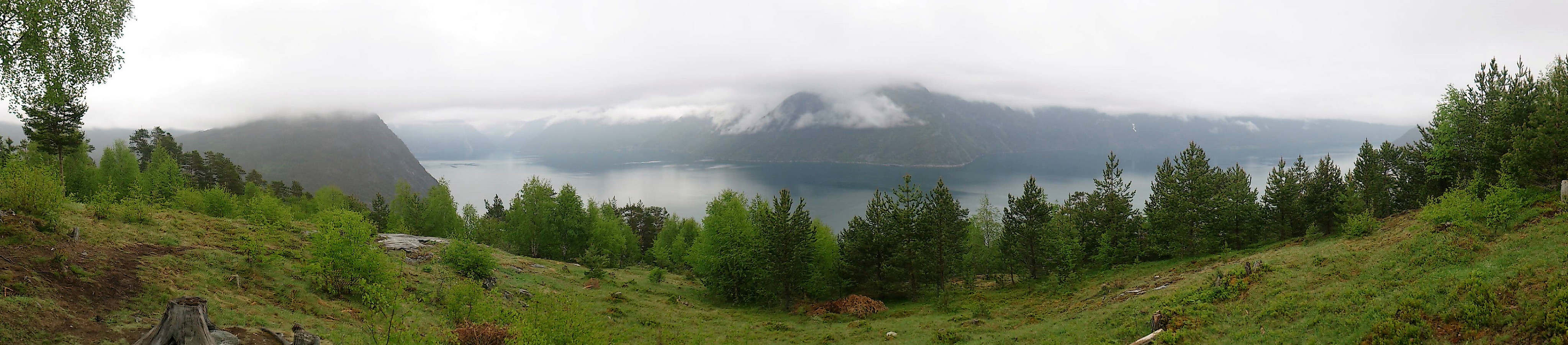
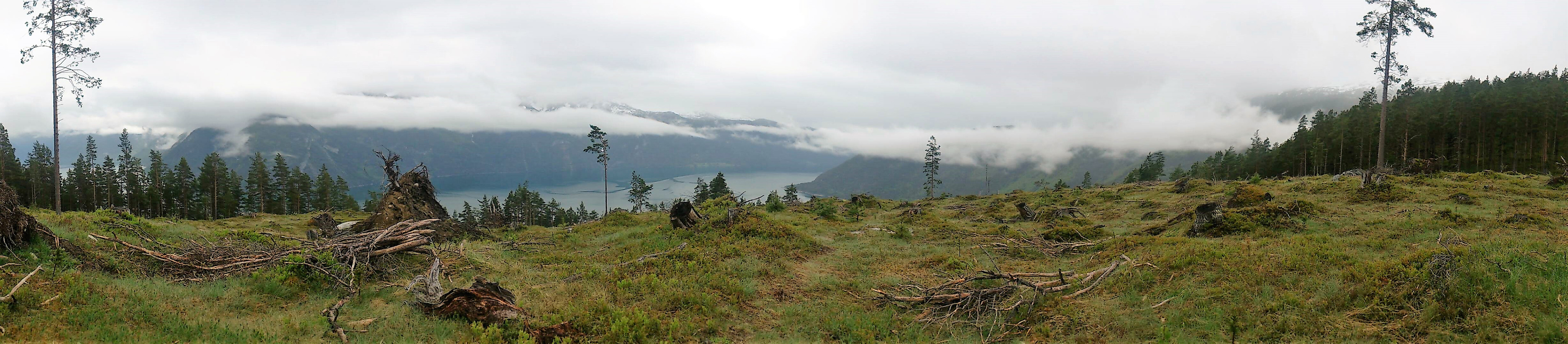
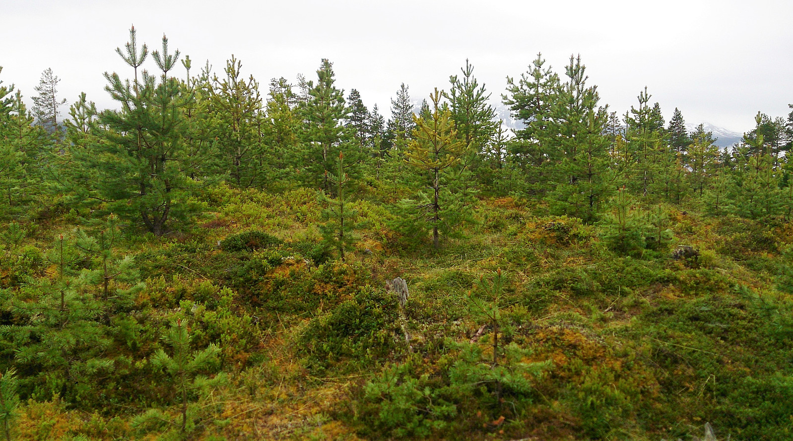
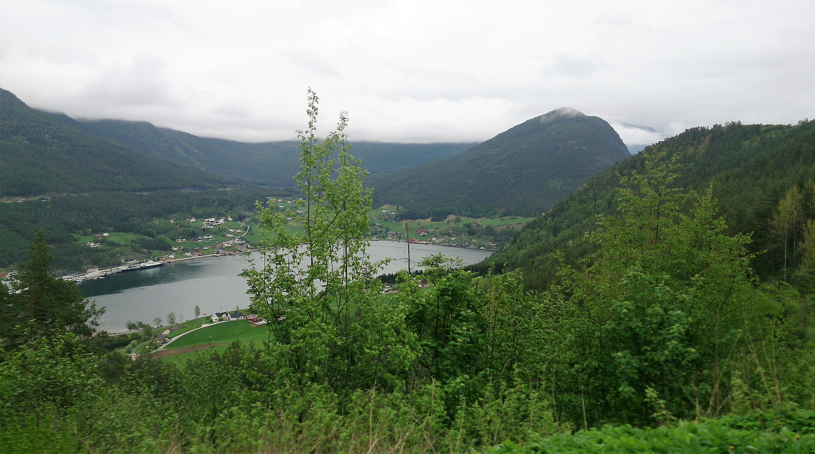
The marked trail started from Haukåsvegen soon after leaving Kaupanger, and we first followed this trail/forest road to Kaupangsholten. Note that this is not the highest point of Kaupangsholtane, but it did provide a very nice view towards the south and seems to be where most people visit. We then followed the trail west to another viewpoint towards the south, before taking the mandatory visit to the highest point. From the summit, we followed trails and forest roads back to where we started the hike. All in all, a nice and easy hike, along easy to follow trails and forest roads.

| Startzeitpunkt | 25.05.2017 12:46 (UTC+01:00 SZ) |
| Endzeitpunkt | 25.05.2017 14:44 (UTC+01:00 SZ) |
| Gesamtzeit | 1h 58min |
| Zeit in Bewegung | 1h 49min |
| Pausenzeit | 0h 9min |
| Gesamtschnitt | 3,1km/h |
| Bewegungsschnitt | 3,3km/h |
| Entfernung | 6,1km |
| Höhenmeter | 279m |


Benutzerkommentare