
Blåmanen from Kobbeltveit (05.04.2017)

Geschrieben von hbar (Harald Barsnes)

| Startpunkt | Årstadveien (57m) |
|---|---|
| Endpunkt | Lønborg (54m) |
| Tourcharakter | Bergtour |
| Tourlänge | 3h 32min |
| Entfernung | 14,4km |
| Höhenmeter | 755m |
| GPS |
|
| Besteigungen | Blåmanen Øst (554m) | 05.04.2017 |
|---|---|---|
| Besuche anderer PBE | Brushytten (412m) | 05.04.2017 |
| Grindarasten (375m) | 05.04.2017 | |
| Kobbeltveit (ruin) (214m) | 05.04.2017 | |
| Lundekvam (tuft) (495m) | 05.04.2017 | |
| Munkegrind (158m) | 05.04.2017 | |
| Solhaugen søyle (107m) | 05.04.2017 | |
| Steinhus i Tarlebøveien (176m) | 05.04.2017 | |
| Vannverkshus i Skiveien (244m) | 05.04.2017 |
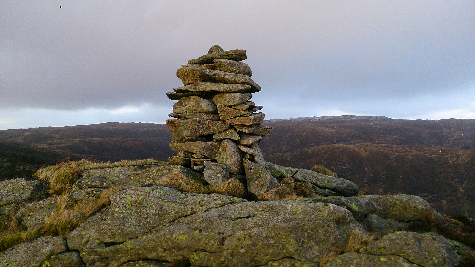
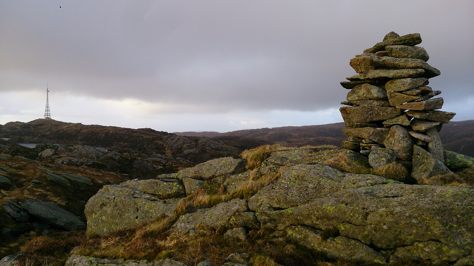
Blåmanen from Kobbeltveit
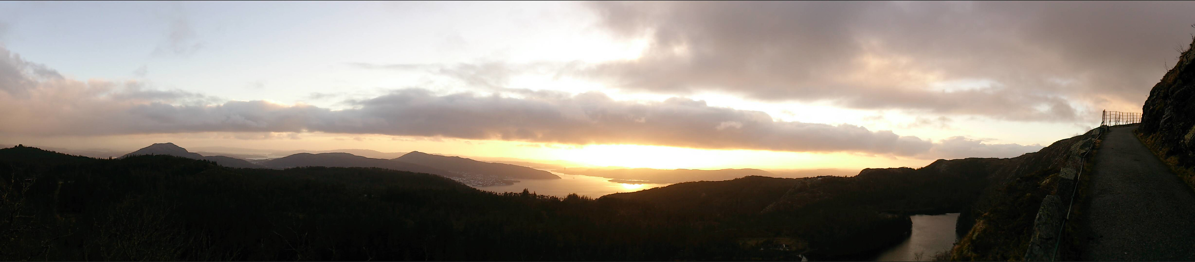
Started by taking the bus to Årstadveien and from there walking along Svartediket. A bit less than halfway up the road to Tarlebøvatnet, at Kobbeltveit, I followed the signs towards Blåmanen. This started out as a forrest road, but at the end turned into a steep trail.
The trail took me almost all the way to the eastern top of Blåmanen, but I failed to find a trail taking me to the peak itself and ended up just trying to take the shortest path through the terrain. There are therefore probably easier ways to get to the top than the one I used.
From the top I walked towards Rundemanen and quickly found a trail that I followed all the way until where Blåmanen meets Rundemanen, and then down to Brushytten and onwards to Munkebotn.

| Startzeitpunkt | 05.04.2017 17:48 (UTC+01:00 SZ) |
| Endzeitpunkt | 05.04.2017 21:21 (UTC+01:00 SZ) |
| Gesamtzeit | 3h 32min |
| Zeit in Bewegung | 3h 23min |
| Pausenzeit | 0h 9min |
| Gesamtschnitt | 4,0km/h |
| Bewegungsschnitt | 4,2km/h |
| Entfernung | 14,4km |
| Höhenmeter | 754m |


Benutzerkommentare