
Lyshornet and Vetla Lyshornet (18.03.2017)

Geschrieben von hbar (Harald Barsnes)

| Startpunkt | Lysekloster (50m) |
|---|---|
| Endpunkt | Lysekloster (50m) |
| Tourcharakter | Bergtour |
| Tourlänge | 2h 23min |
| Entfernung | 6,1km |
| Höhenmeter | 418m |
| GPS |
|
| Besteigungen | Lyshornet (405m) | 18.03.2017 |
|---|---|---|
| Vetla Lyshornet (366m) | 18.03.2017 | |
| Besuche anderer PBE | Lysekloster p-plass (50m) | 18.03.2017 |
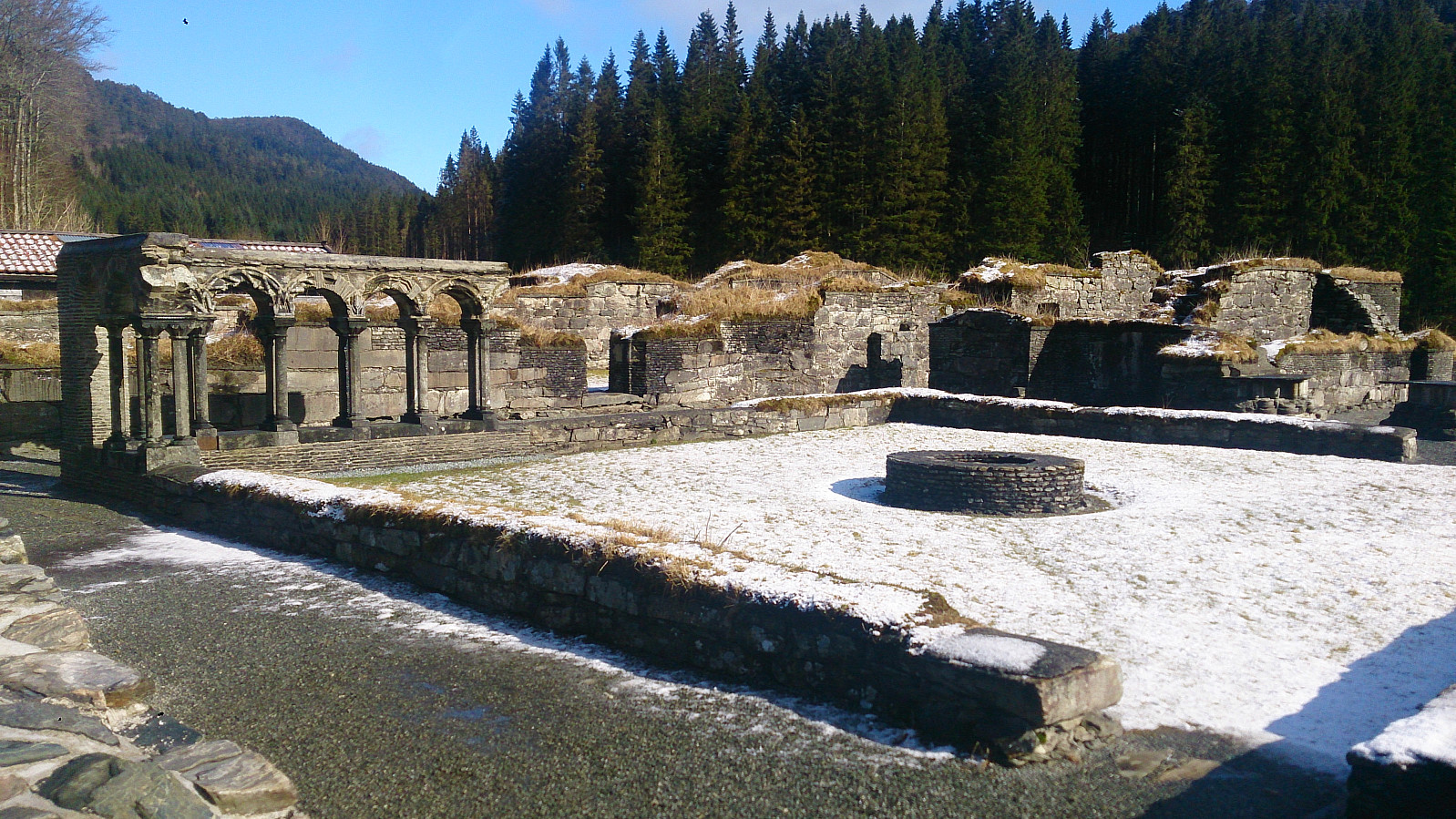
| Ruinene på Lysekloster (53m) | 18.03.2017 |
Lyshornet and Vetla Lyshornet
We started from the parking lot next to the Lysekloster Ruins. (Note that the number of parking spots is limited (less than 10?), so keep this in mind if doing this hike on a weekend with nice weather.) From there we followed the standard trail through the woods to the summit of Lyshornet. Snow started appearing at around 300 meters and from there on the trail was covered by snow and ice all the way to the summit.
For return we decided to follow the advice of some fellow hikers and follow in their footsteps by taking a longer U-turn across Vetla Lyshornet (see map for details). This was a nice addition to an otherwise short hike. The trail was not always easy to locate though, so it was a good thing we had footprints in the snow to follow.
In the end our U-turn ended up connecting with the end of the gravel road that we briefly crossed on the way up, and we then followed this road back down to the starting point.

| Startzeitpunkt | 18.03.2017 11:51 (UTC+01:00) |
| Endzeitpunkt | 18.03.2017 14:14 (UTC+01:00) |
| Gesamtzeit | 2h 23min |
| Zeit in Bewegung | 2h 12min |
| Pausenzeit | 0h 11min |
| Gesamtschnitt | 2,6km/h |
| Bewegungsschnitt | 2,8km/h |
| Entfernung | 6,1km |
| Höhenmeter | 418m |


Benutzerkommentare